|
Bearsden & DistrictMugdock Loch |
  |
| |
Bearsden & DistrictMugdock Loch |
|
Photographs of a circular walk around Mugdock Loch
 Mugdock Reservoir
from Mugdock Country Park |
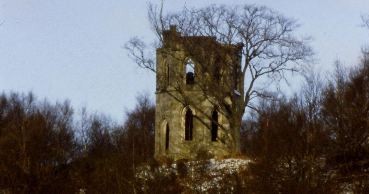
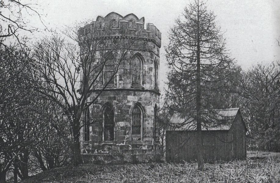 Old
Photo of Smith's
Folly
at Mugdock Country Park Smith’s Folly which stands on a hill above the South Lodge car park at Mugdock Country Park. This was the start of a tree-lined avenue leading to the home of James Smith at Craigend Castle. The castellated tower or gazebo was built for him about 1816. The small octagonal tower had two storeys and was once finely decorated with Gothic windows and vaulting and trefoil decoration. The folly had no roof or floors but had a an open-sided staircase that wound its way to the top, from where the visitor could enjoy good views of Glasgow, as well as Dumgoyne and the Campsie Fells. The tower was repurposed as a watchtower for the nearby reservoirs during the war years. In the 1980s it was demolished due to becoming unstable and sadly only the base of the tower remains. In 1981 Royal Mail issued a 50p booklet of stamps with a picture of Smith’s Folly on the front but erroneously called it Mugdock Castle. |
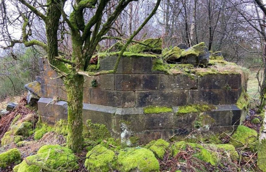 Remains
of Smith's Folly
at Mugdock Country Park |
 Old
photo of Smith's Folly
at Mugdock Country Park |
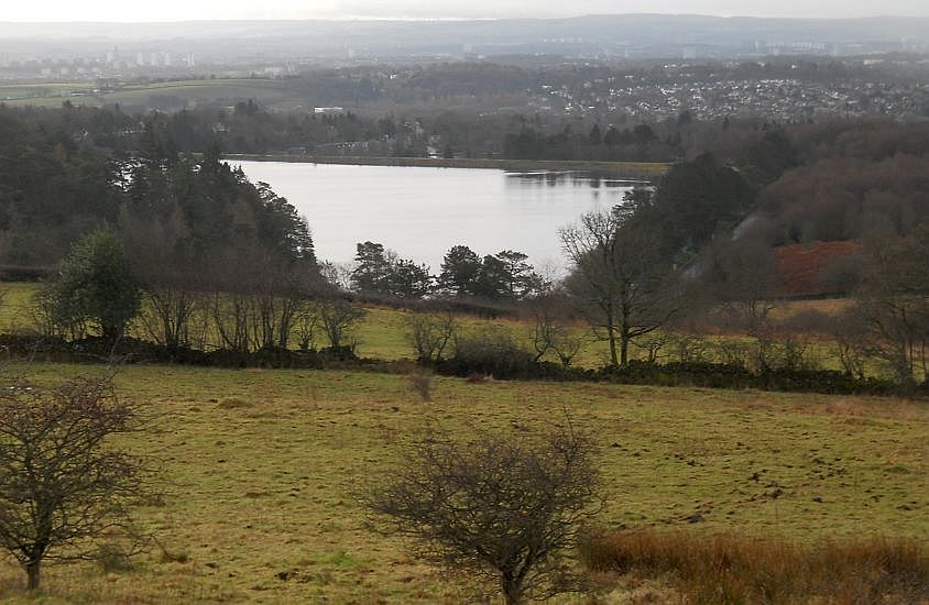
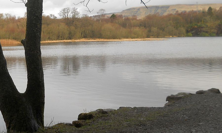
 Mugdock Reservoir
from Mugdock Country Park |
 Mugdock Reservoir
from Mugdock Country Park |
 |
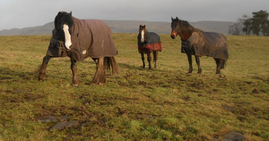 Horses
on moors
at Mugdock Country Park |
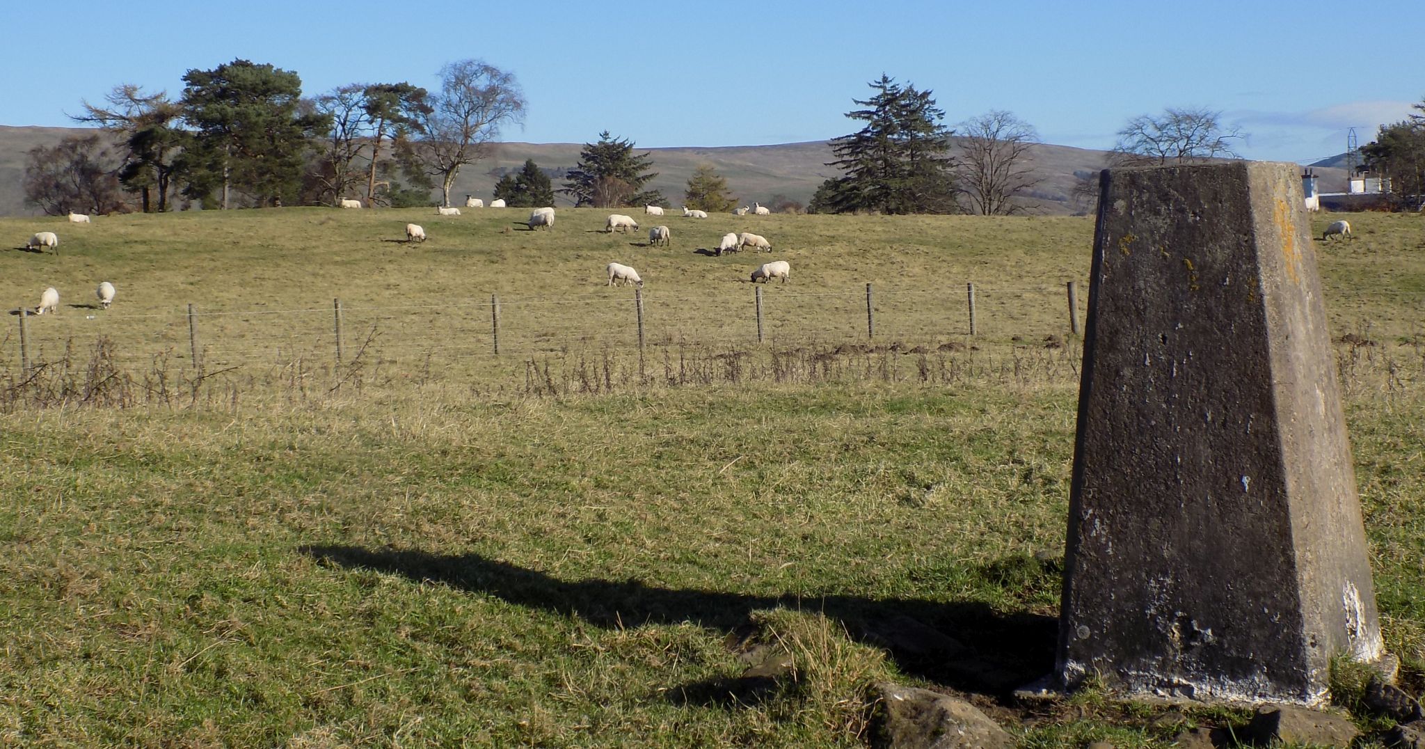 Sheep
on moors
at Mugdock Country Park |
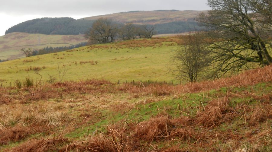
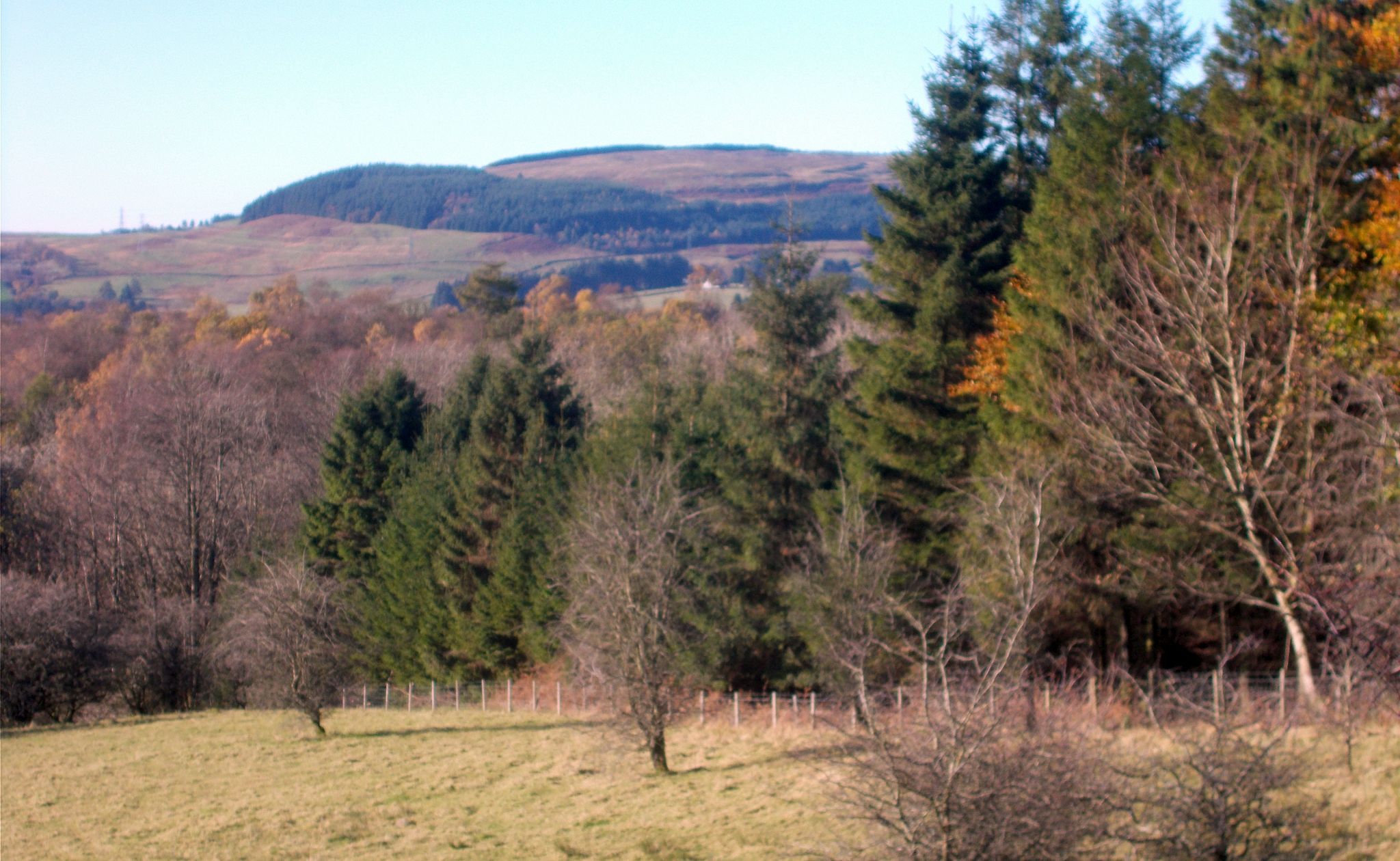
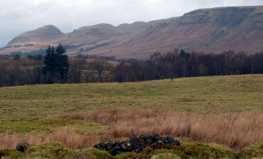 Campsie Fells from
moors
above Mugdock Country Park |
 Campsie Fells from
moors
above Mugdock Country Park |
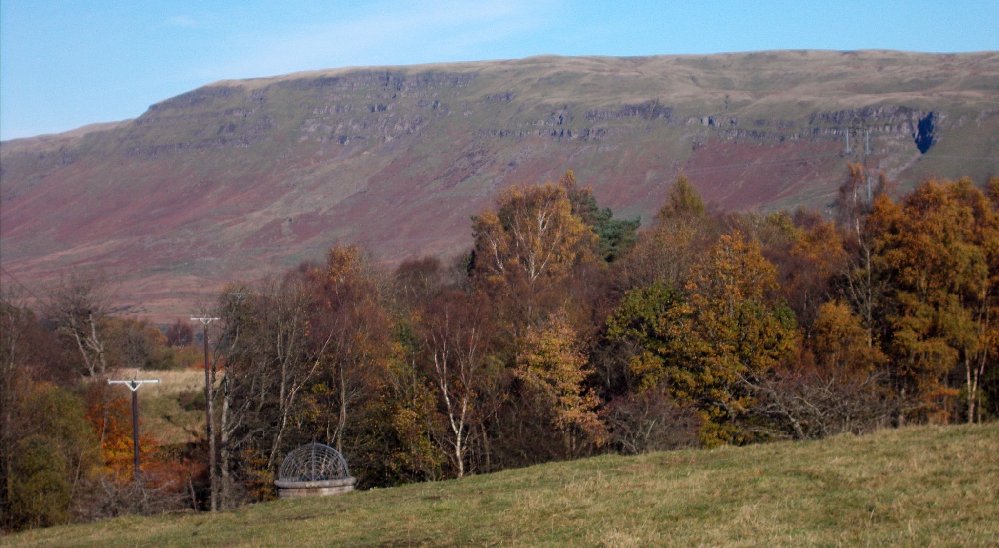
 Kilpatrick Hills from
moors
above Mugdock Country Park |
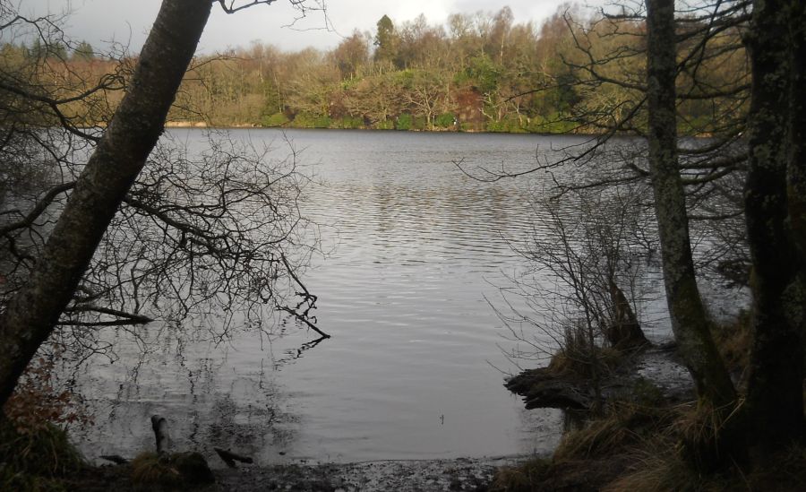 Mugdock
Loch
in Mugdock Country Park |
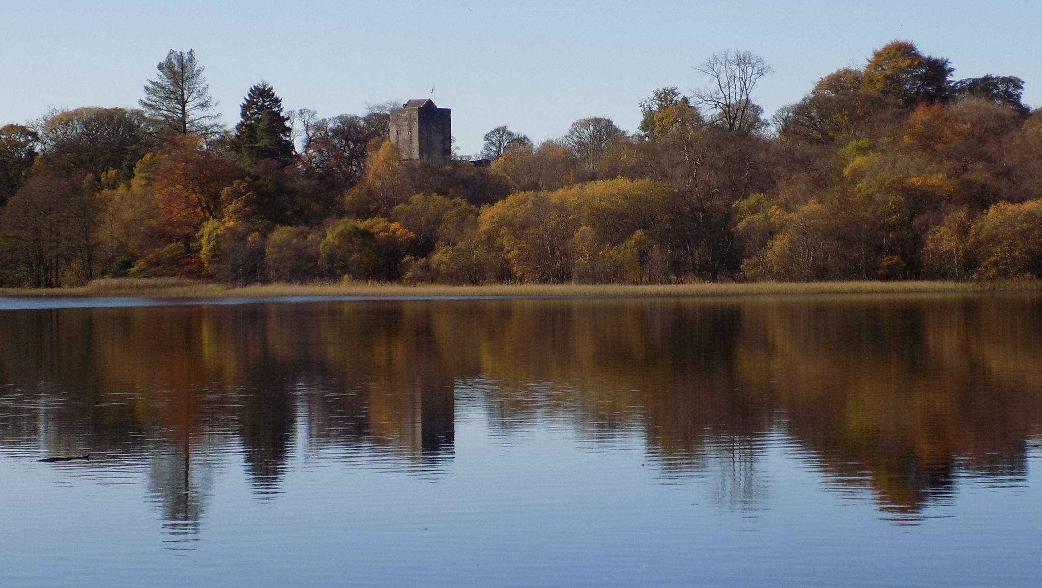 Mugdock
Loch and Castle
in Mugdock Country Park |
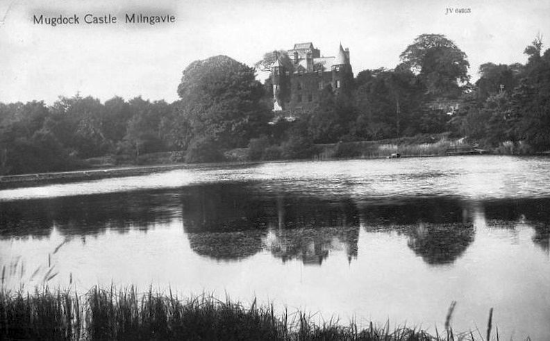 Mugdock
Castle - old photo
|
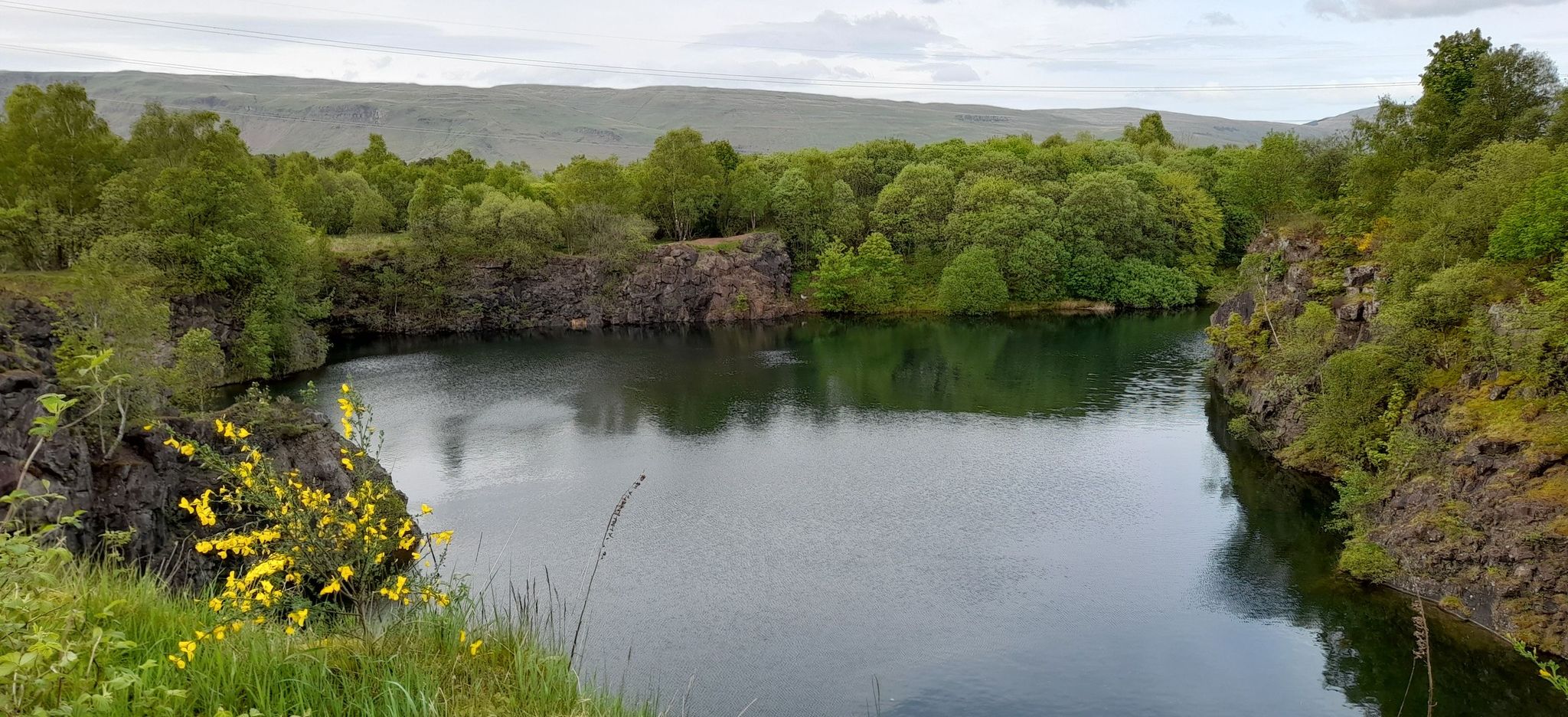
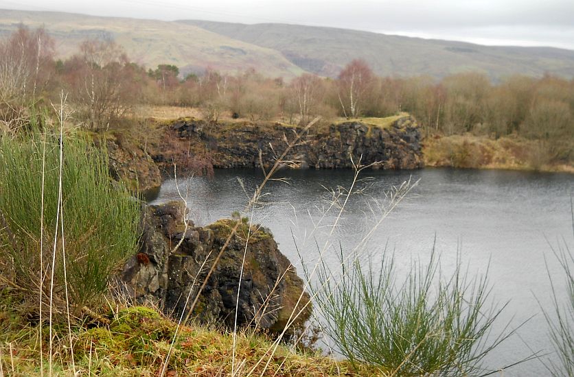 Campsie Fells
beyond Peitches Moor and quarry loch in Mugdock Country Park |
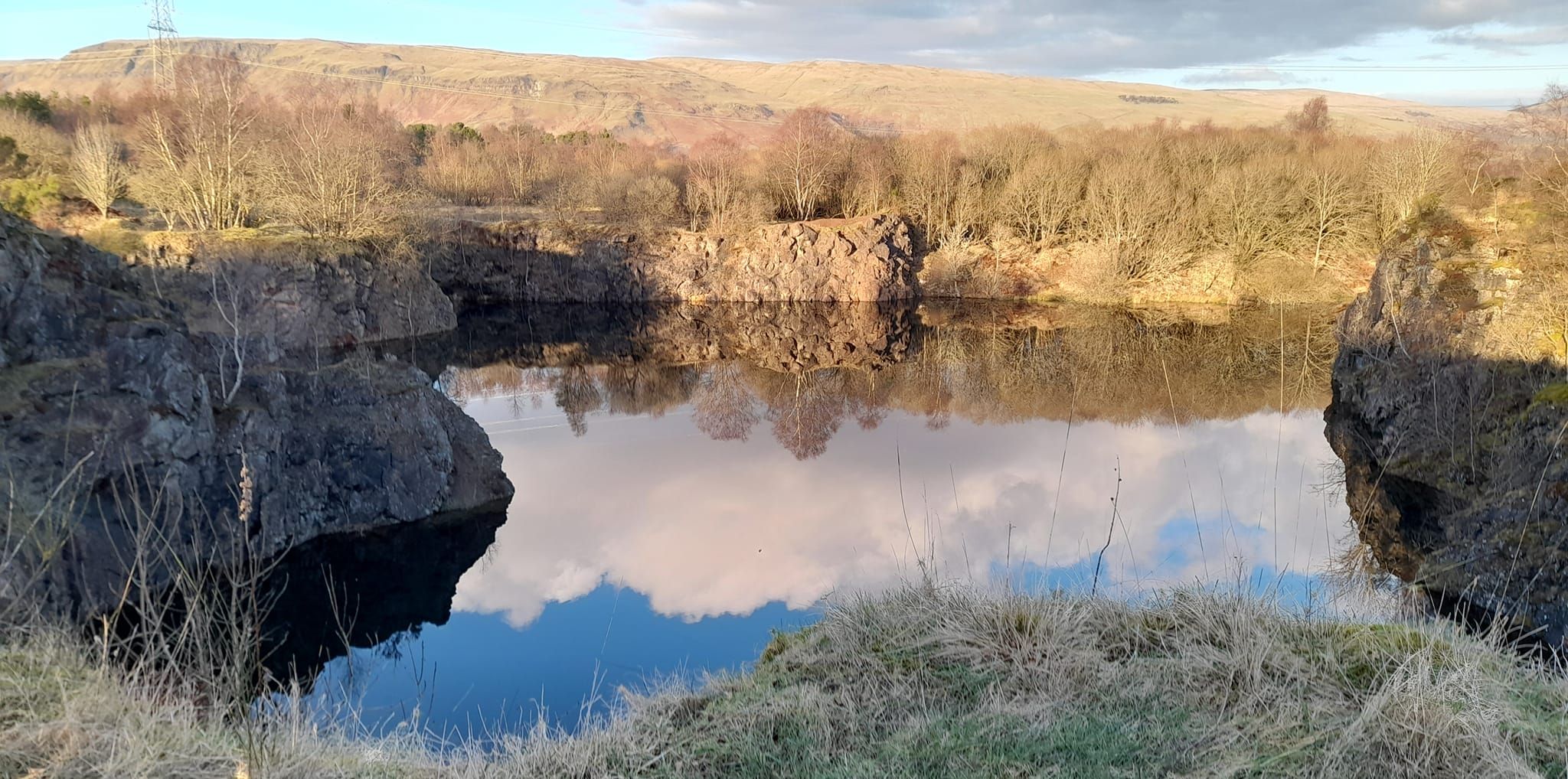 Campsie Fells
beyond Peitches Moor and quarry loch in Mugdock Country Park |
 Campsie Fells
beyond Peitches Moor and quarry loch in Mugdock Country Park |
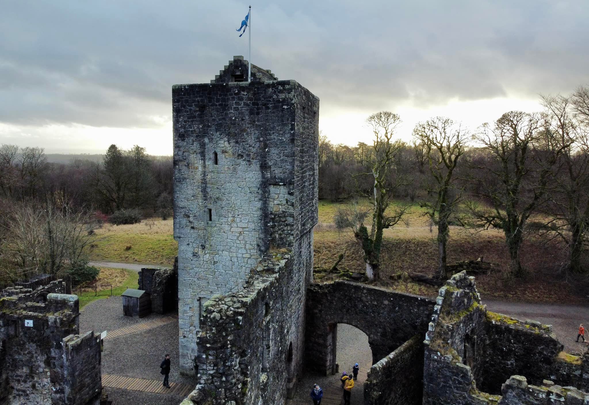
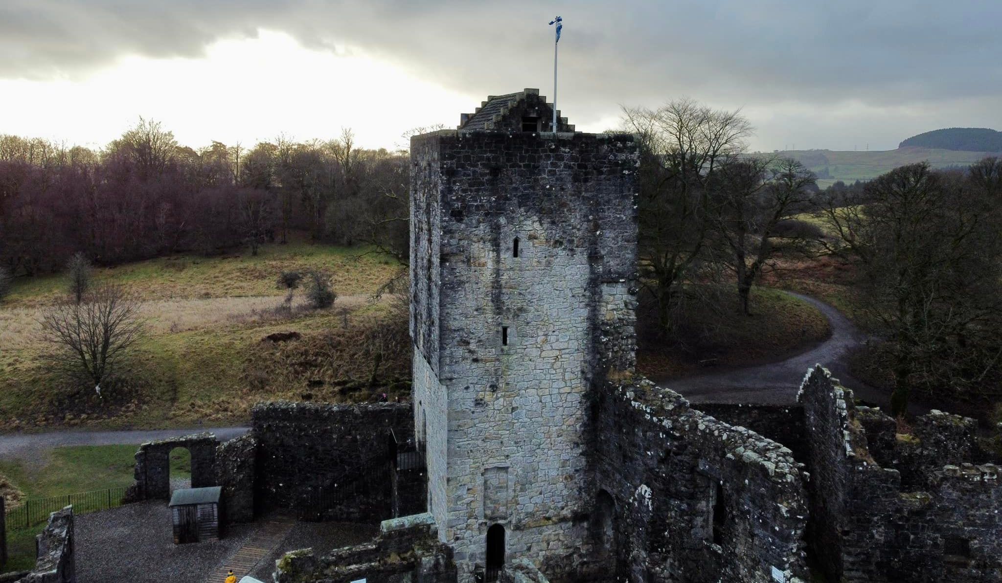
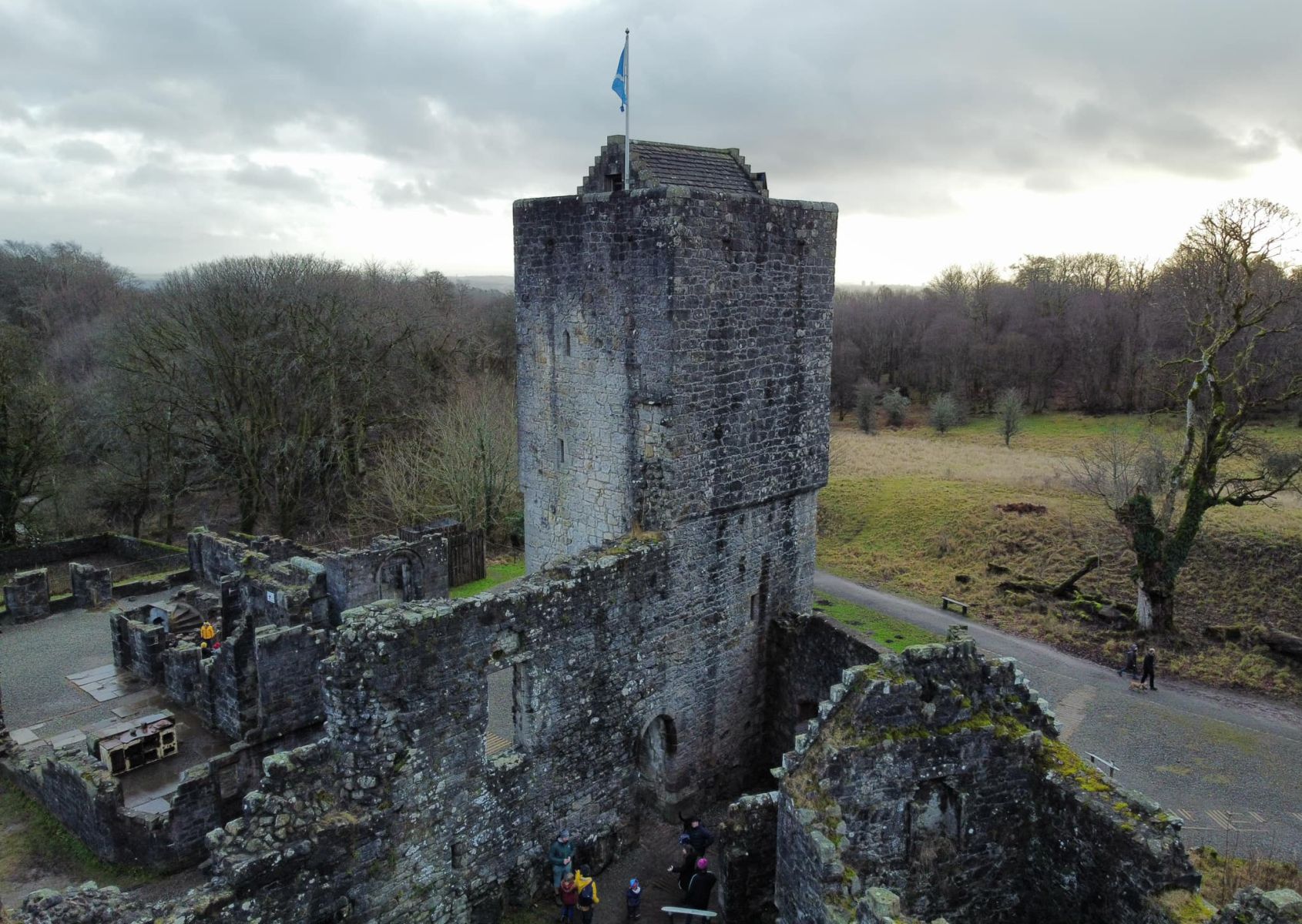
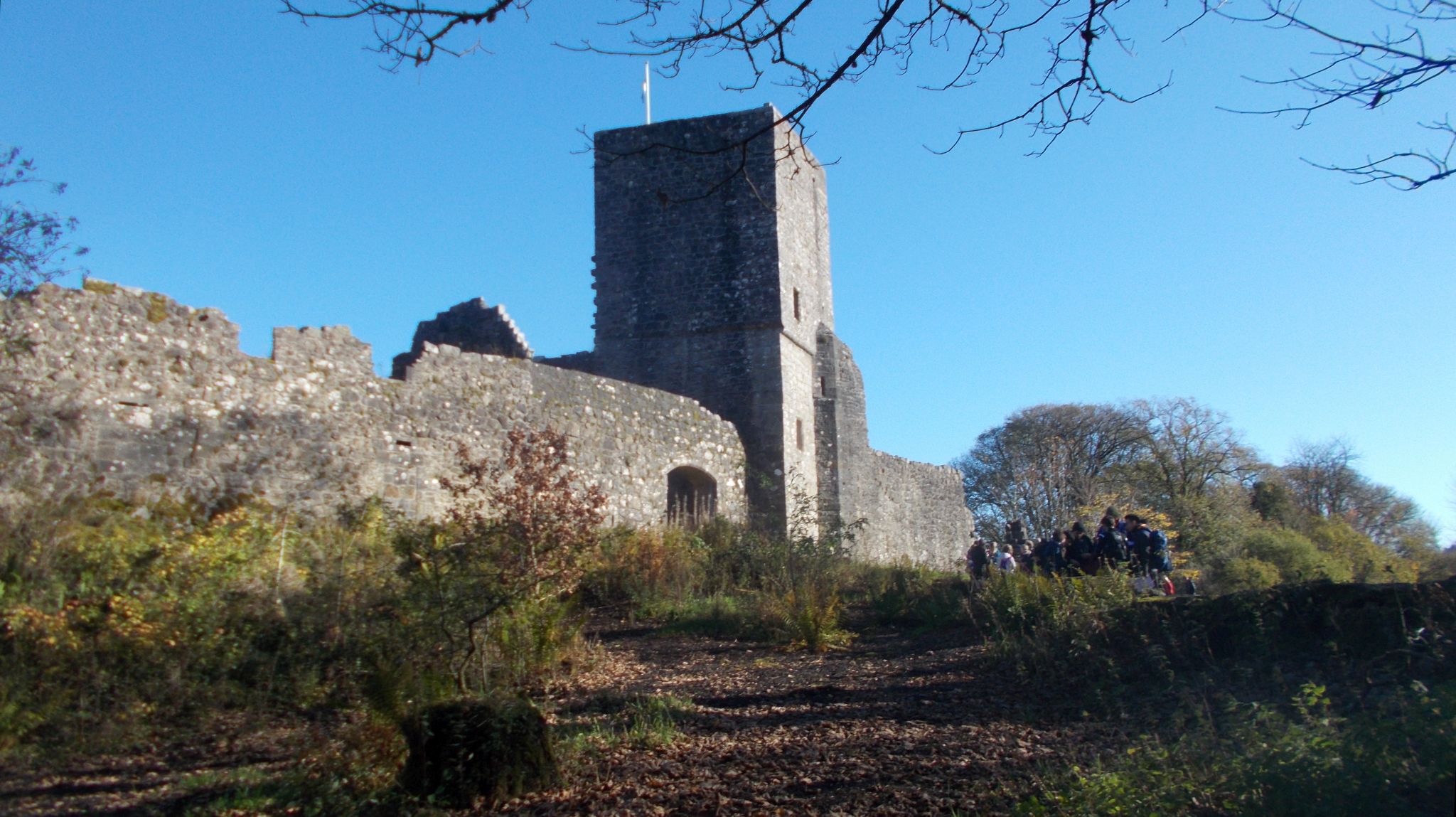
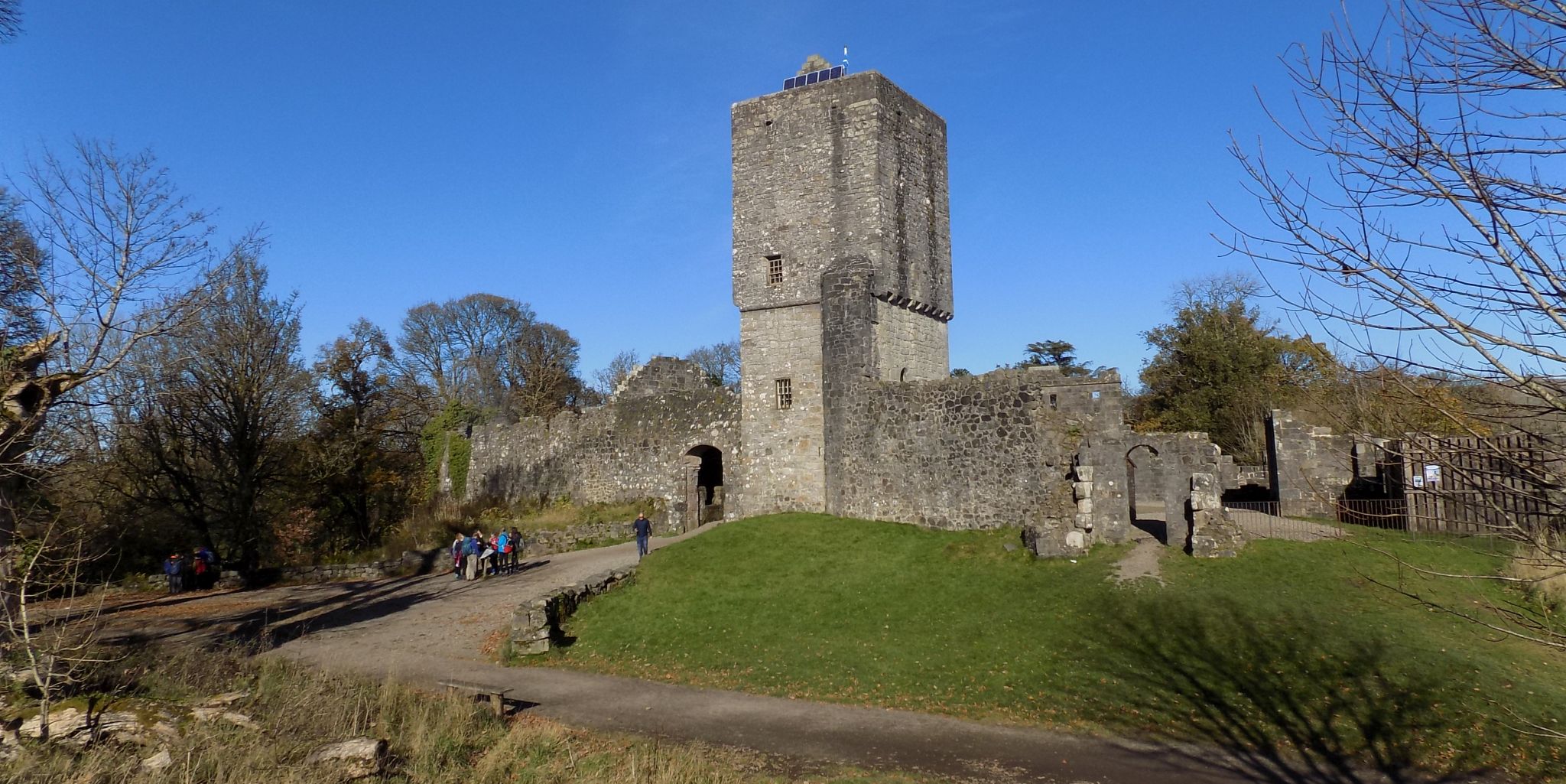
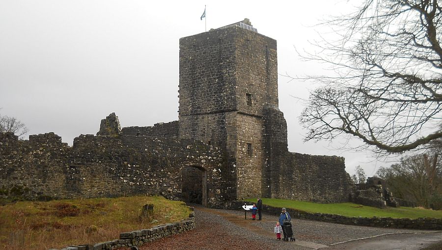 Mugdock
Castle in Mugdock
Country Park
Mugdock Castle was the stronghold of Clan Graham. The original castle was built in the mid-14th century. It comprised four towers around a courtyard with high walls. The main gate was in the middle of the south wall. The castle stood on a mound of volcanic rock on the edge of Mugdock Loch. |
 |
 |
|
|
|
|
|
|
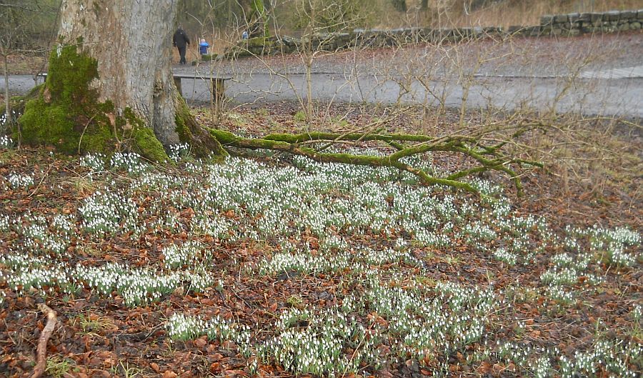 Snowdrops
in Mugdock Country Park |
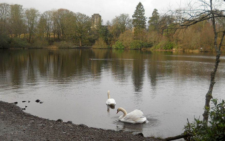 Swans
in Mugdock Loch
beneath Mugdock Castle |
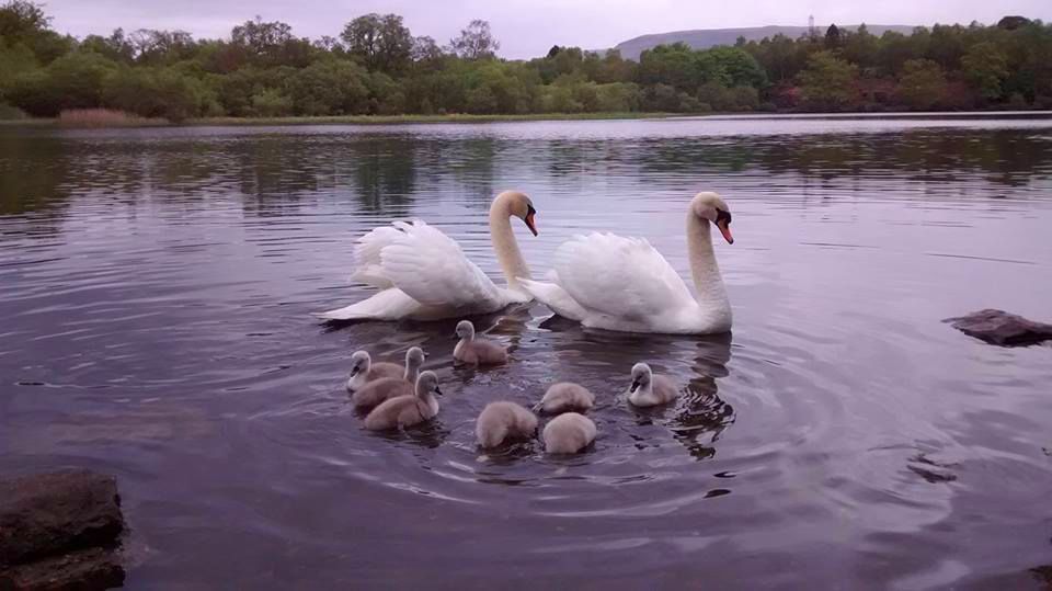 Swans
and cygnets
in Mugdock Loch |
 Campsie Fells
from Mugdock Loch |
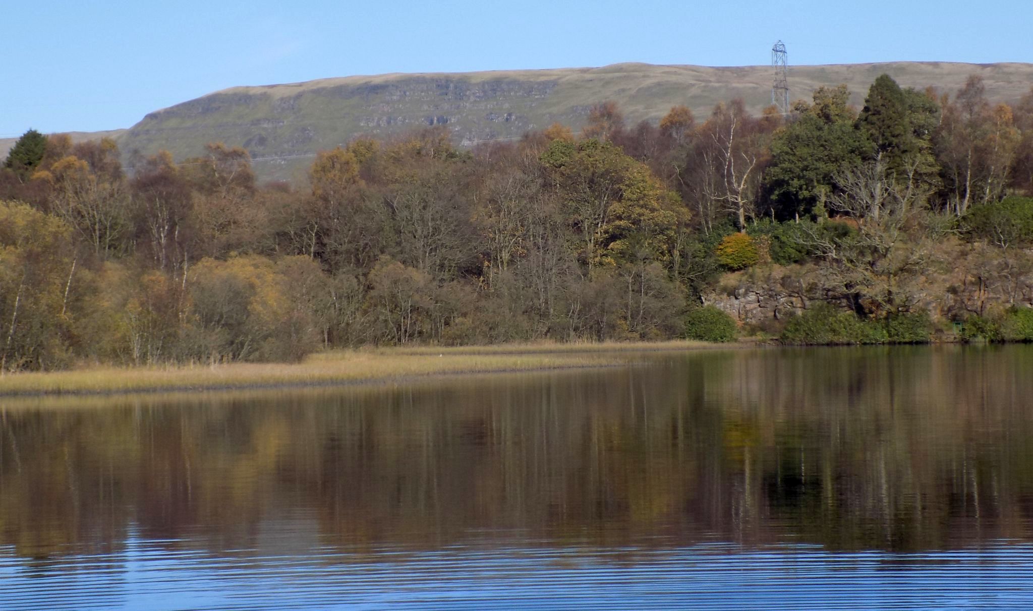 Campsie Fells
from Mugdock Loch |
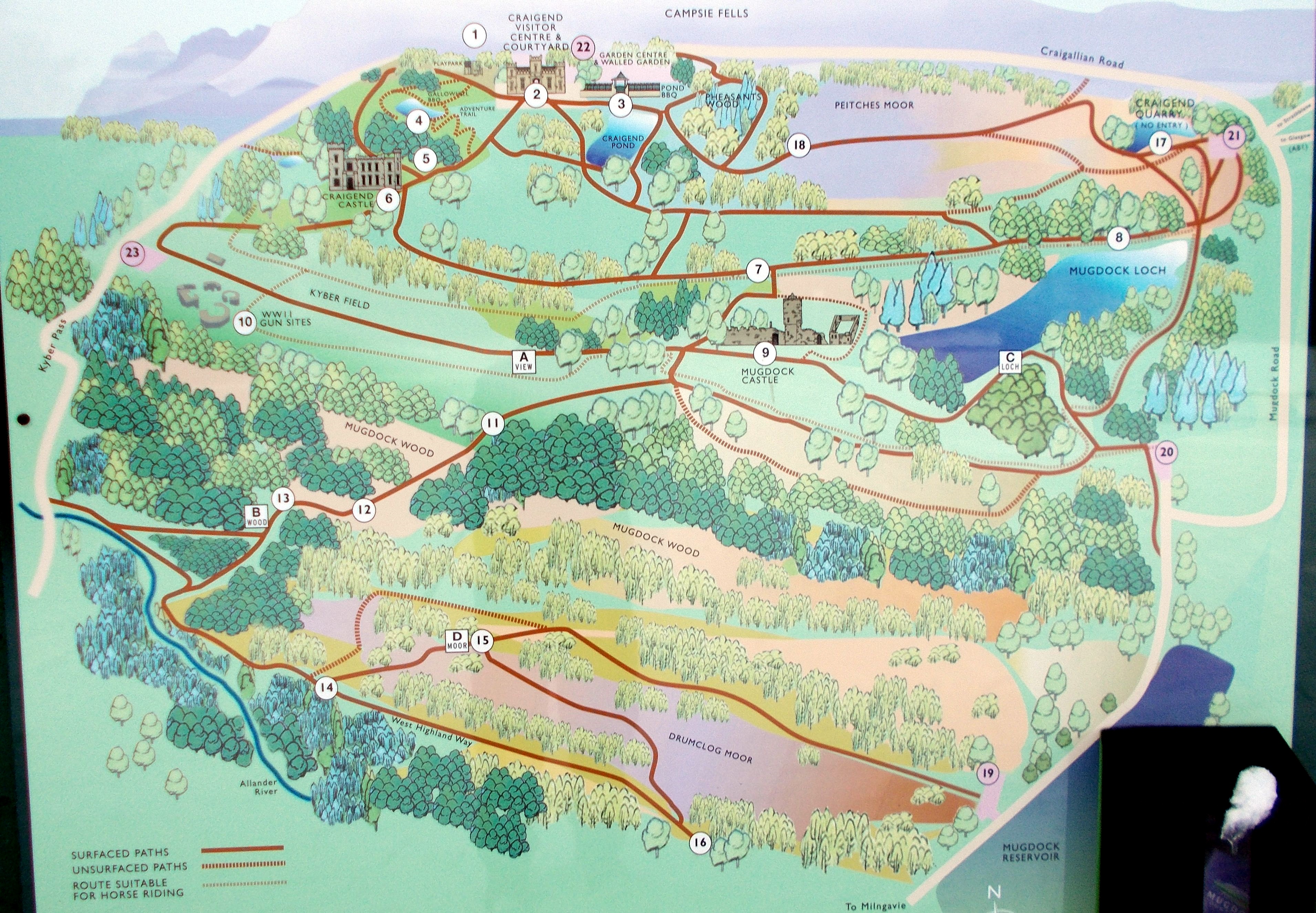
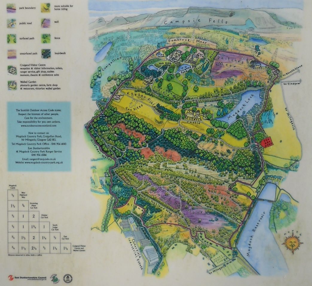 Map of
Mugdock Country Park
( Note:- Click here or on above for large format copy ) |
 Map of
Mugdock Country Park
( Note:- Click here or on above for large format copy ) |
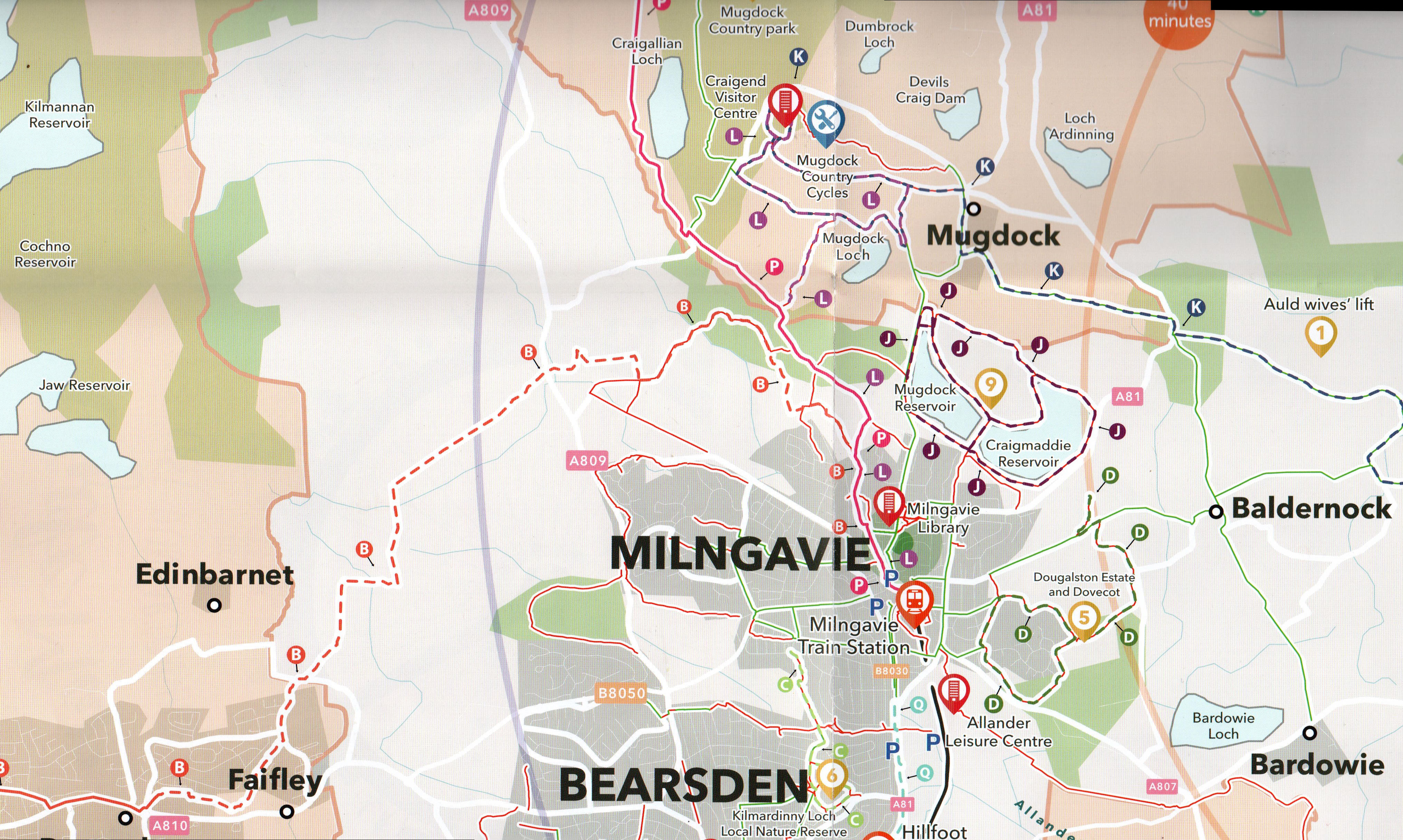
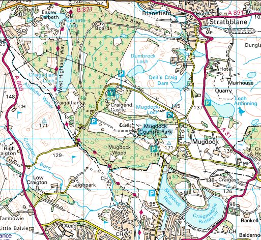 Location
Map for Mugdock Country
Park
|
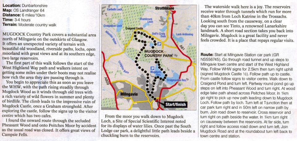 Map
and Walking Route for Mugdock
Country
Park
|
MUGDOCK COUNTRY PARK - ROUTE DESCRIPTION:
 :: Dumgoyne
& Campsie Fells
:: Dumgoyne
& Campsie Fells 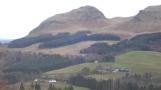
Glencoe | Ben Nevis | Knoydart | Isle of Skye | Isle of Arran
The Eastern Highlands | The Central Highlands | The Southern Highlands | The NW Highlands


Google
Analytics