|
Bearsden & DistrictEdinbarnet - Craigton
|
  |
| |
Bearsden & DistrictEdinbarnet - Craigton
|
|
This
route
forms part of the Firth of Clyde Rotary trail
and the Clyde Coastal Path ( Scotland Walks )
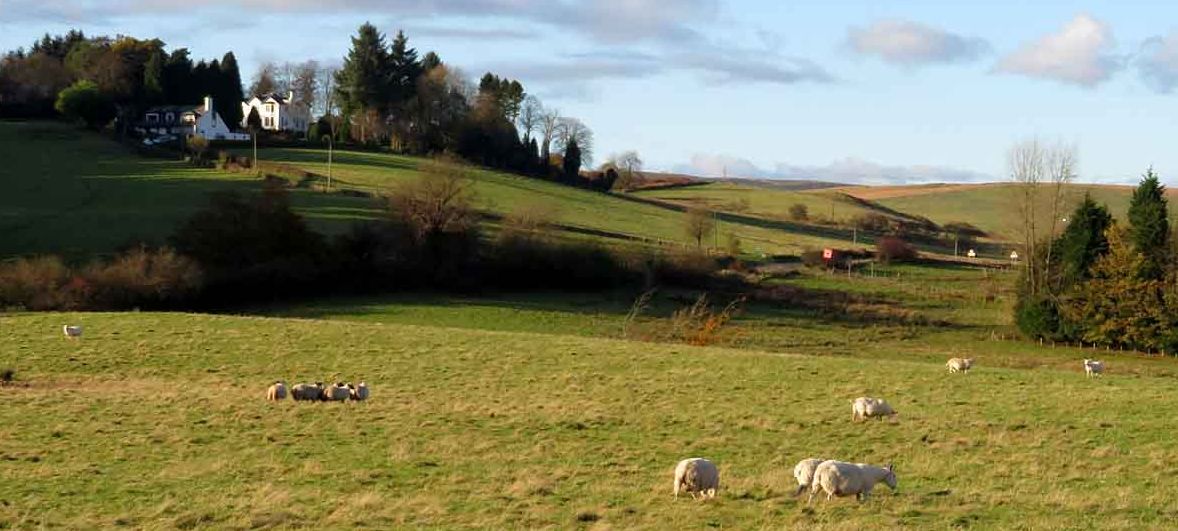
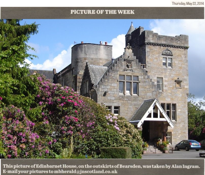
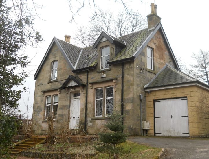
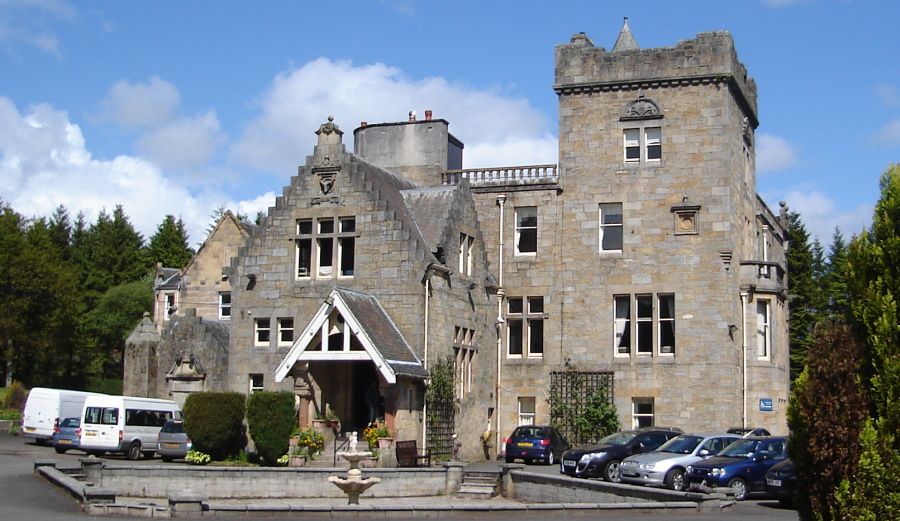 Edinbarnet
House
on the outskirts of Bearsden |
 |
 |
 |
 |
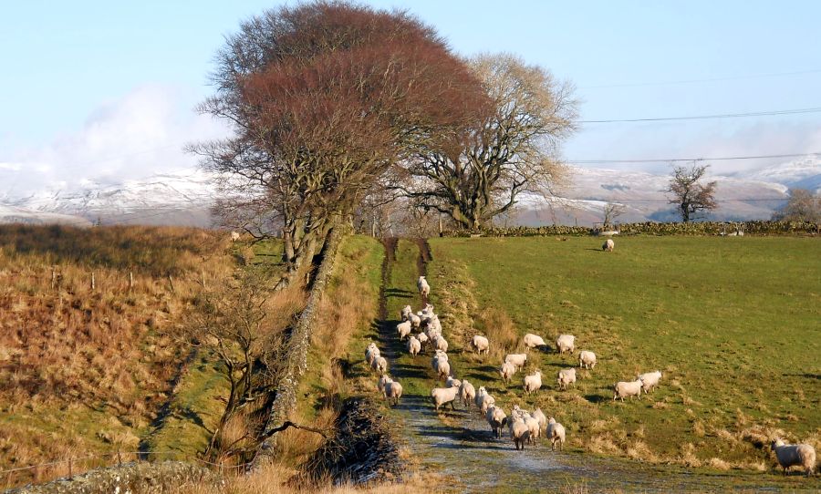
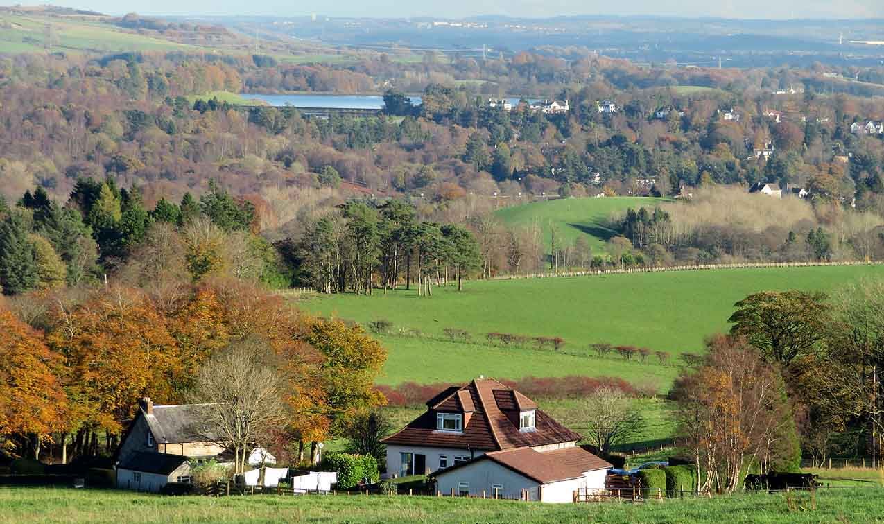
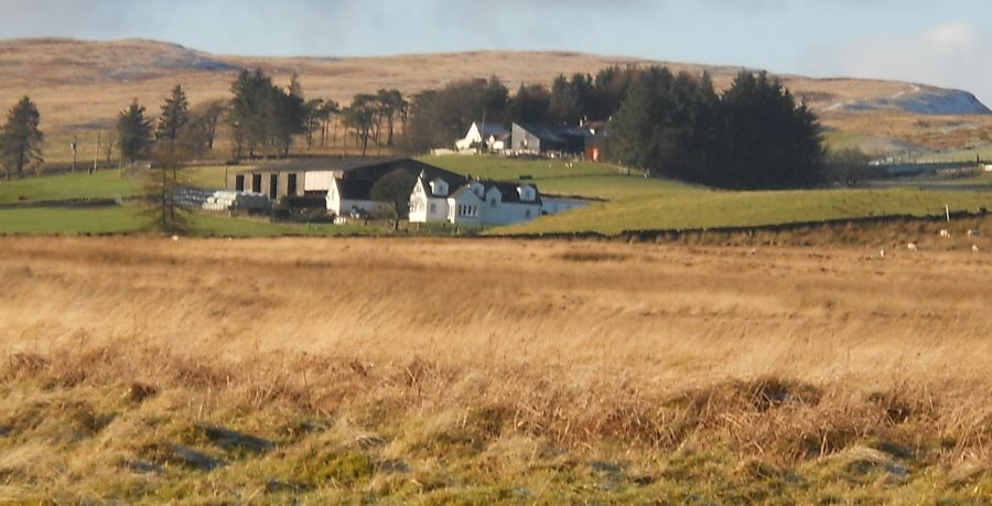 Muirhouses
from Path to Craigton |
 |
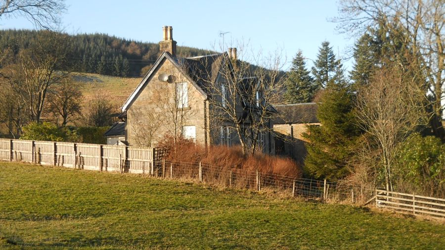 Old Schoolhouse at Craigton
|
Old
School House at Craigton |
 |
 |
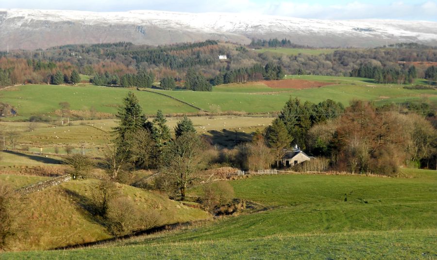
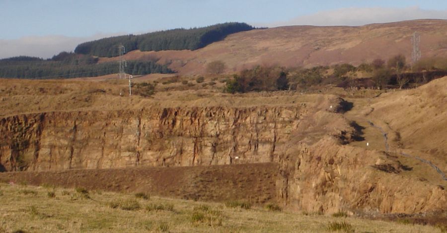
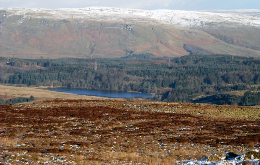
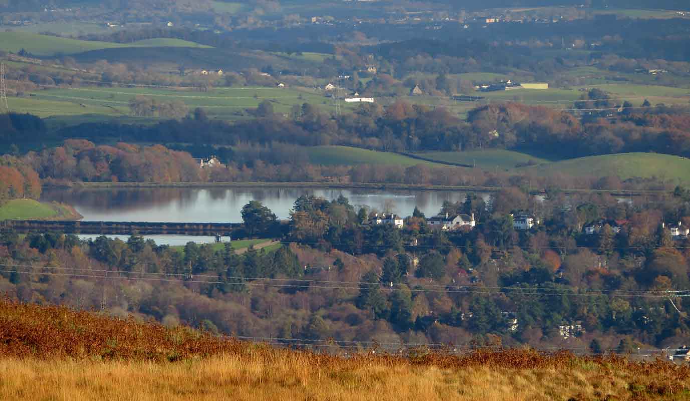
 Milngavie
Waterworks
from the Kilpatrick Hills above Craigton |
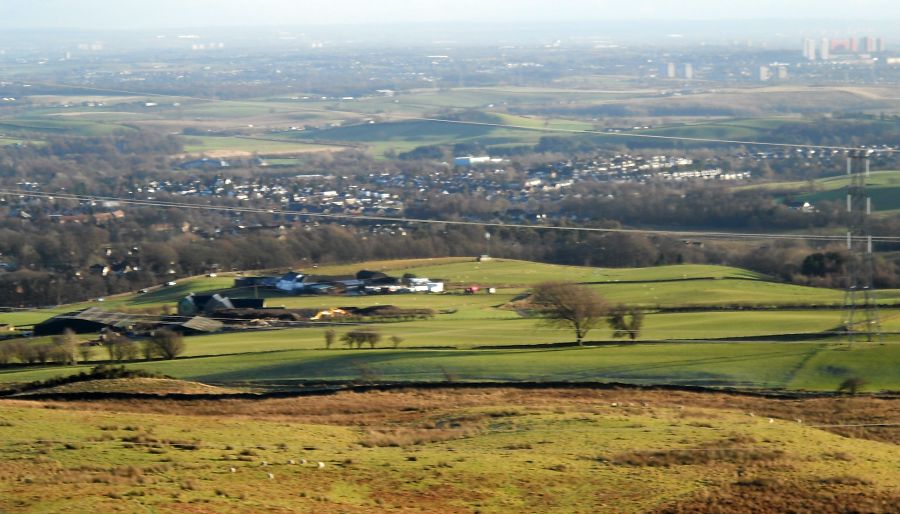
 Milngavie
Waterworks
from the Kilpatrick Hills above Craigton |
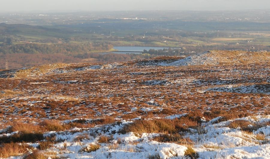
 Milngavie
Waterworks
from the Kilpatrick Hills above Craigton |
 |
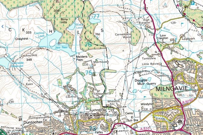 Map of Edinbarnet and Craigton
|
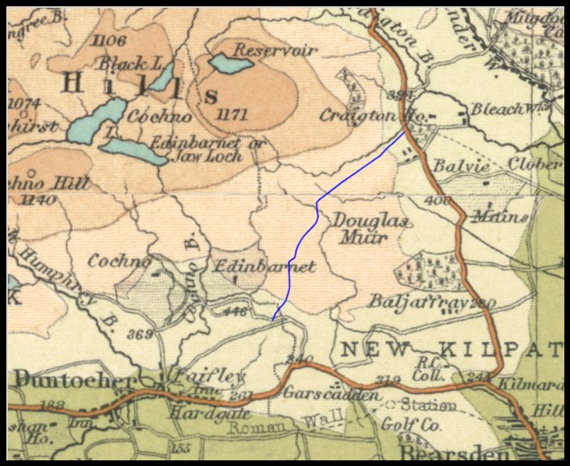 Map of Edinbarnet and Craigton
|
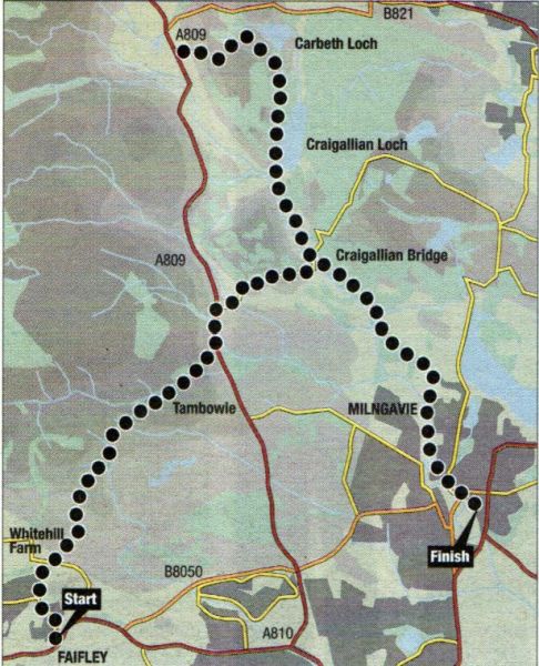 Map of Route
from Faifley via Craigton to Carbeth on the West Highland Way |
EDINBARNET TO CRAIGTON - ROUTE DESCRIPTION:
 ::
Kilpatrick Hills
Gallery
::
Kilpatrick Hills
Gallery 
Glencoe | Ben Nevis | Knoydart | Isle of Skye | Isle of Arran | The West Highland Way
The Eastern Highlands | The Central Highlands | The Southern Highlands | The NW Highlands