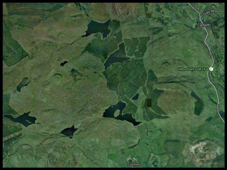
Location: Kilpatrick
Hills
Map: OS Landranger 64{ GR471775 }
Distance: 10 miles { 16.5km }
Time= 5 hours 30 minutes
Terrain: track and path
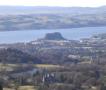
The Kilpatrick Hills lie between Bearsden and Dumbarton overlooking the River
Clyde
and offer walks to distinct, if small, summits with fine views.
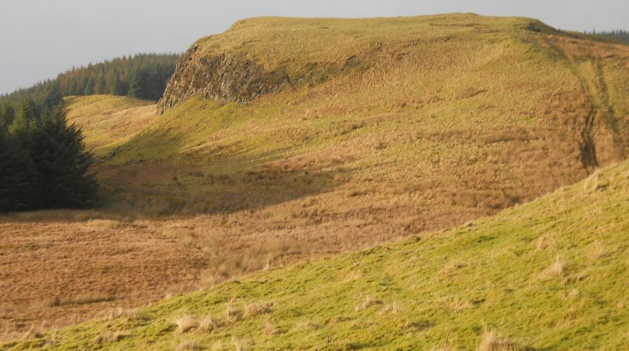
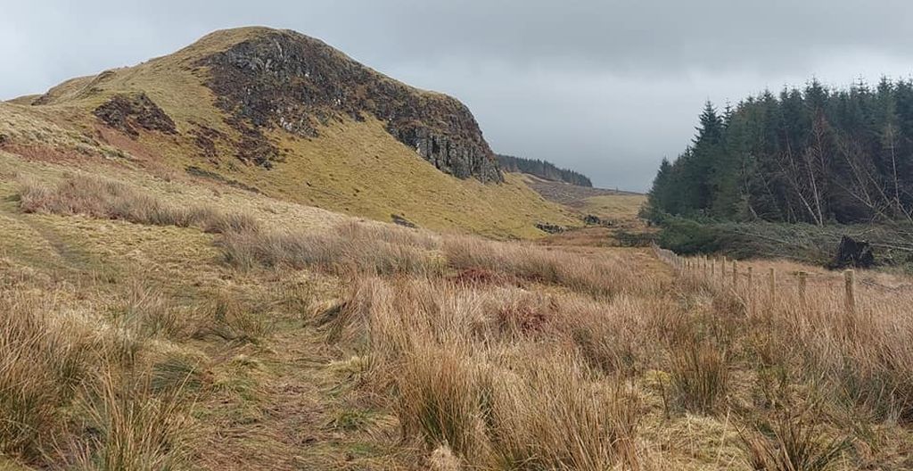
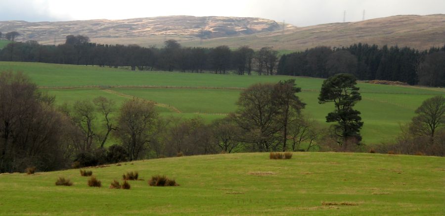
The terrain is mostly grassy moorlami with tracks and paths, giving
fairty straightforward walking. Duncolm, with its bun-shaped summit, is the
highest point and the route here links it with Cochno Hill and The
Slacks. two lower summits.
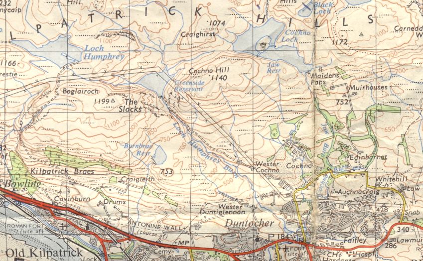
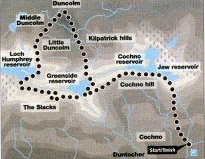
The route can be started from Duntocher via the Auchancraig path beside
the Cochno Burn which leads to Cochno Road, or from the car park at GR 503740 on Cochno Road.
Exit back to the road, turn right and straight ahead on to the access
road to Coclmo Farm, following a footpath signpost to Jaw Reservoir.
Leave the road on the right at another sign, go through a kissing gate,
round a field to another gate, then straight on to another gate giving
access to a track. Follow the track up and through the break in the trees from
where a distinct path leads up to open hillside.
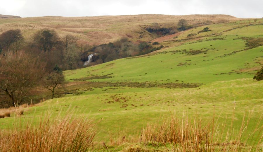
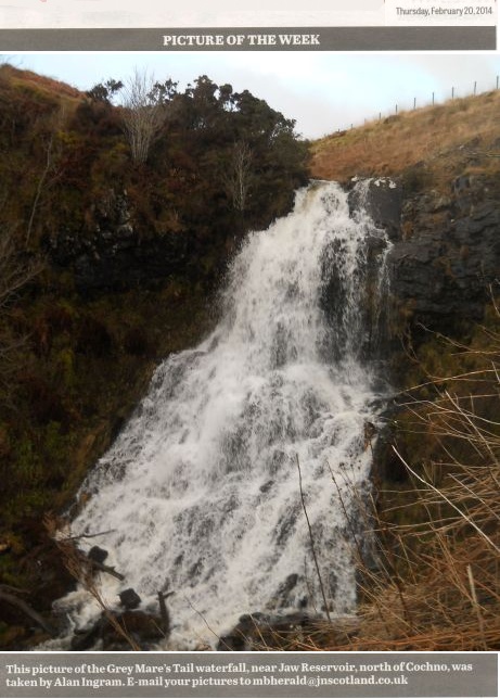
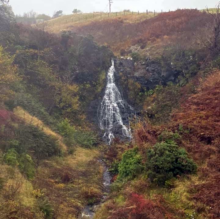
Keep right where the path divides, ascending beside the small Grey
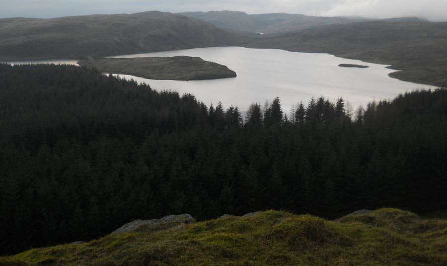
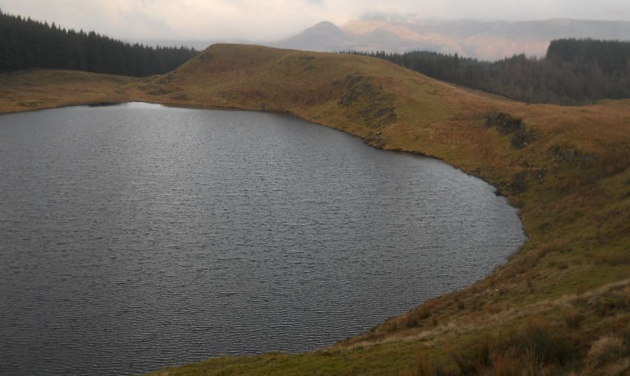
Mare's Tail waterfall to Jaw Reservoir.
Head left on a grassy track, keeping left where it divides, to gain the
high ridge and summit of Cochno Hill.
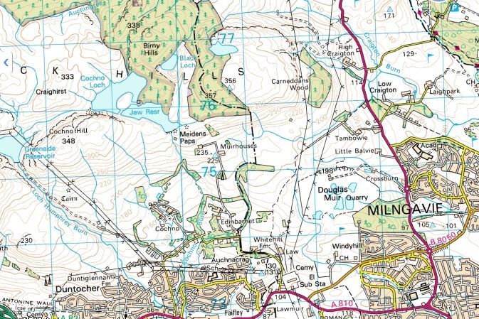
From here. the route is clear. The Slacks lies to the west across the
glen of the Loch Humphrey Burn and Duncolm to the north.
From the top of Cochno Hill descend the right-hand of two grassy tracks
heading to the rightmost of the electricity pylons from where a stony
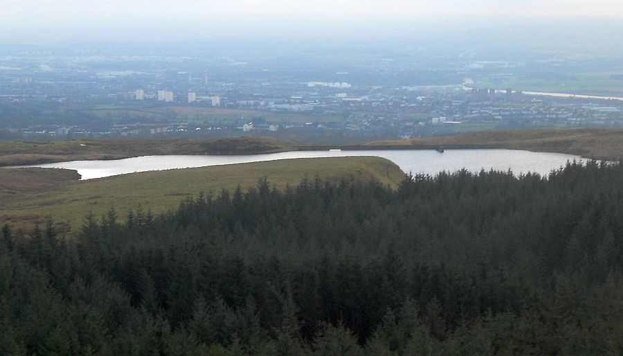
track leads to the dam across Greenside resevoir. Cross over and ascend
another grassy track to the trig point on top of The Slacks, and views
to the Clyde and Erskine Bridge.
From the top descend a grassy track west for a short way, then sharply
north-east to avoid a boggy area and gain a fence line on the craggy
northern side. Follow the fence west along the crest of Boglairoch and
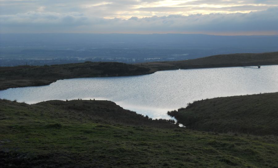
down to the gravel track beside Loch Humphrey.
Head rightwards towards Duncolm, to where the track
ends at a gate and a grassy track continues round Little and Middle
Duncolm, to the final ascent to the trig point on Duncolm.
Descend south from the summit on a steep path beside at fence to a
wall. which is followed to a stile giving access to a marshy path left
of the fence.
Cross the burn. staying close to the fence to reach a stile and
Greenside Reservoir. A path continues round the east side of the
reservoir to the dam and the outward route, which is reversed to the
start.


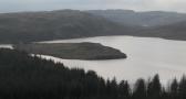 ::
Jaw Reservoir
Gallery
::
Jaw Reservoir
Gallery 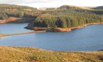 ::
Kilpatrick Hills
Gallery
::
Kilpatrick Hills
Gallery