|
Bearsden & DistrictDumbrock Loch
|
  |
| |
Bearsden & DistrictDumbrock Loch
|
|
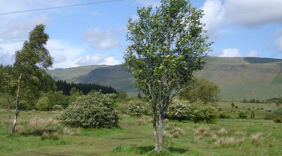 Campsie Fells above
Dumbrock Muir
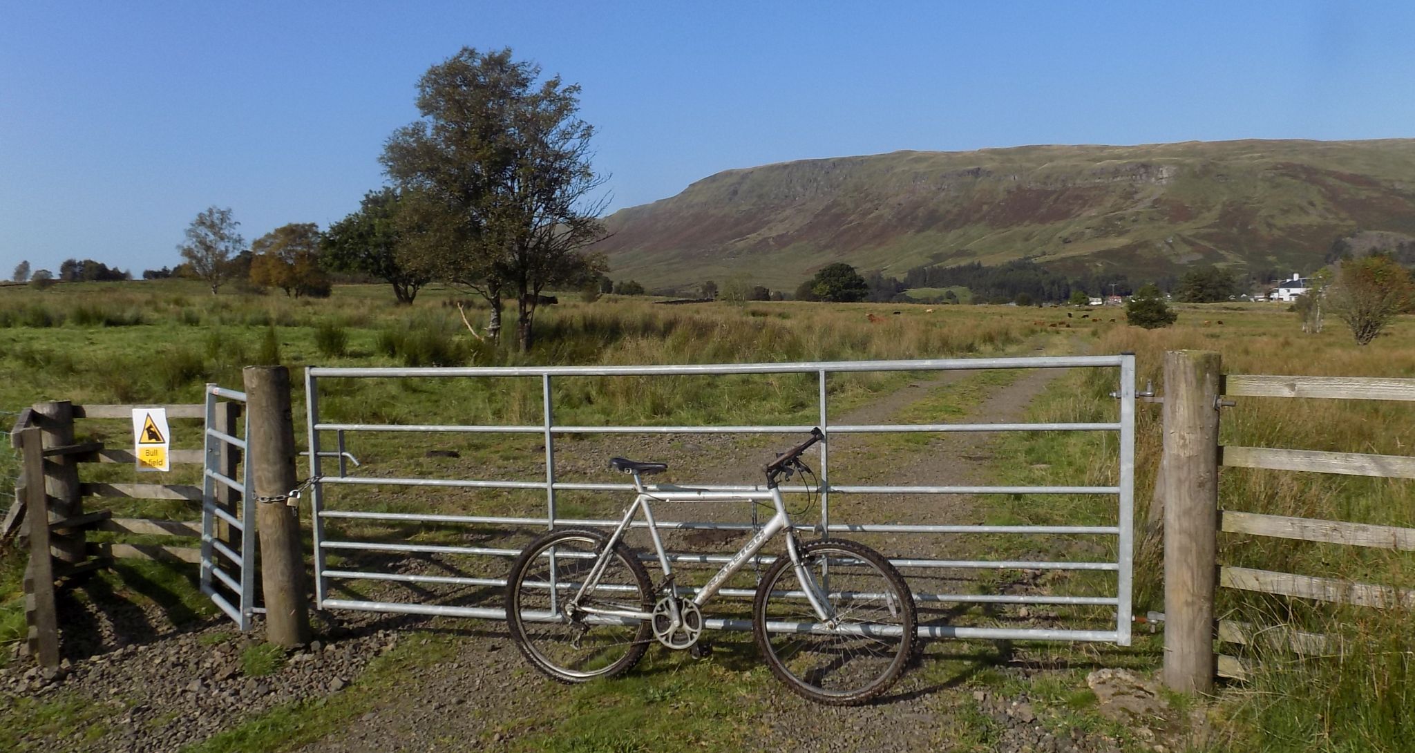
Dumbrock Muir and Dumbrock Loch are to the north of the main etrance to Mugdock Country Park |
|
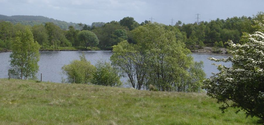 Dumbrock
Loch ( Also known as Abies
Loch )
Dumbrock Loch lies to the northeast of Craigend CastleDumbrock Moor includes a stretch of grassland habitat that has become rare in Britain. Mineral-rich bedrock lies close to the surface and creates conditions suitable for flowering species such as harebell, lesser twayblade, hay rattle, lady’s mantle and cat’s ear. Most of this kind of habitat has been lost from Scotland as changing farming practices have converted these grasslands into arable crops. However Dumbrock Moor has taken a different course. In years gone by, the Moor was grazed by sheep and cattle and this provided a lawn mowing service which kept coarse, aggressive grasses in check and ensured that delicate wild flowers had room to grow and places to set seed. Now, after a prolonged period without grazing, the number and range of wild flowers has dwindled. The re-introduction of a low concentration of cows on the Moor is being considered. Black grouse breed on the Moor but this iconic Scottish bird has undergone a drastic population decline in recent years. The grouse are vulnerable to disturbance, especially by dogs. |
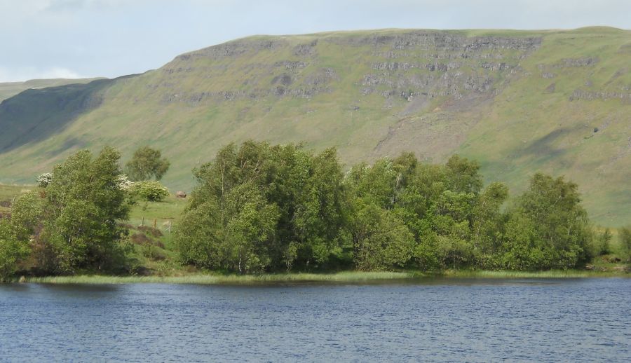
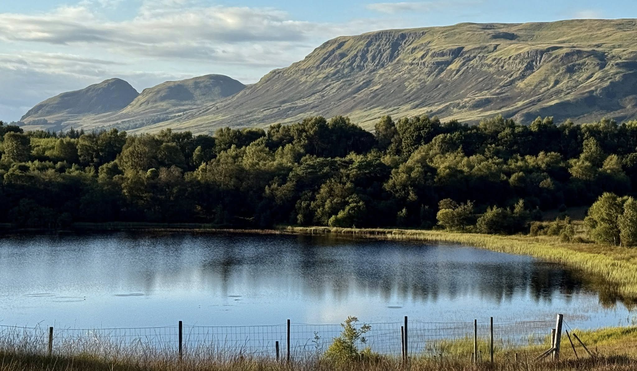
Campsie Fells from Dumbrock Loch |
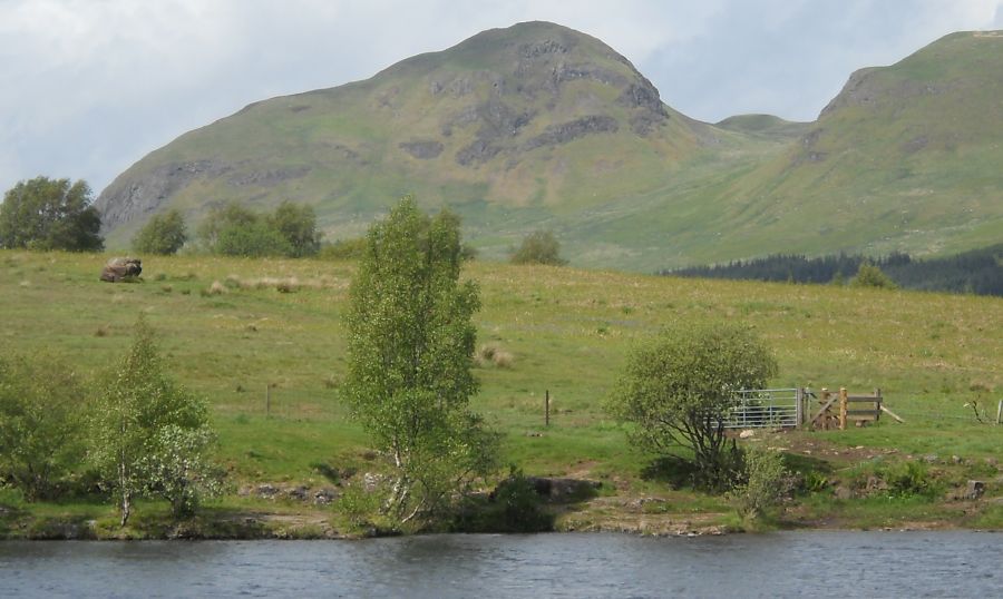
Dumgoyne
in the Campsie
Fells from Dumbrock Loch |
from Dumbrock Loch |
Dumgoyne
in the Campsie
Fells from Dumbrock Muir |
in
the Campsie
Fells from Dumbrock Muir |
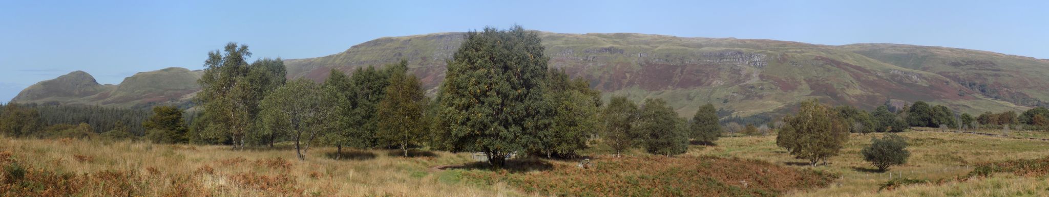
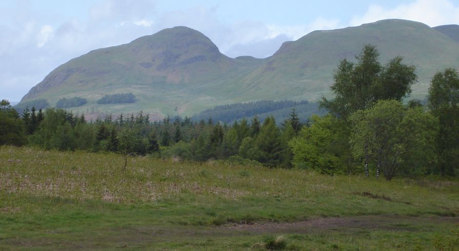
The Campsie
Fells from Dumbrock Muir |
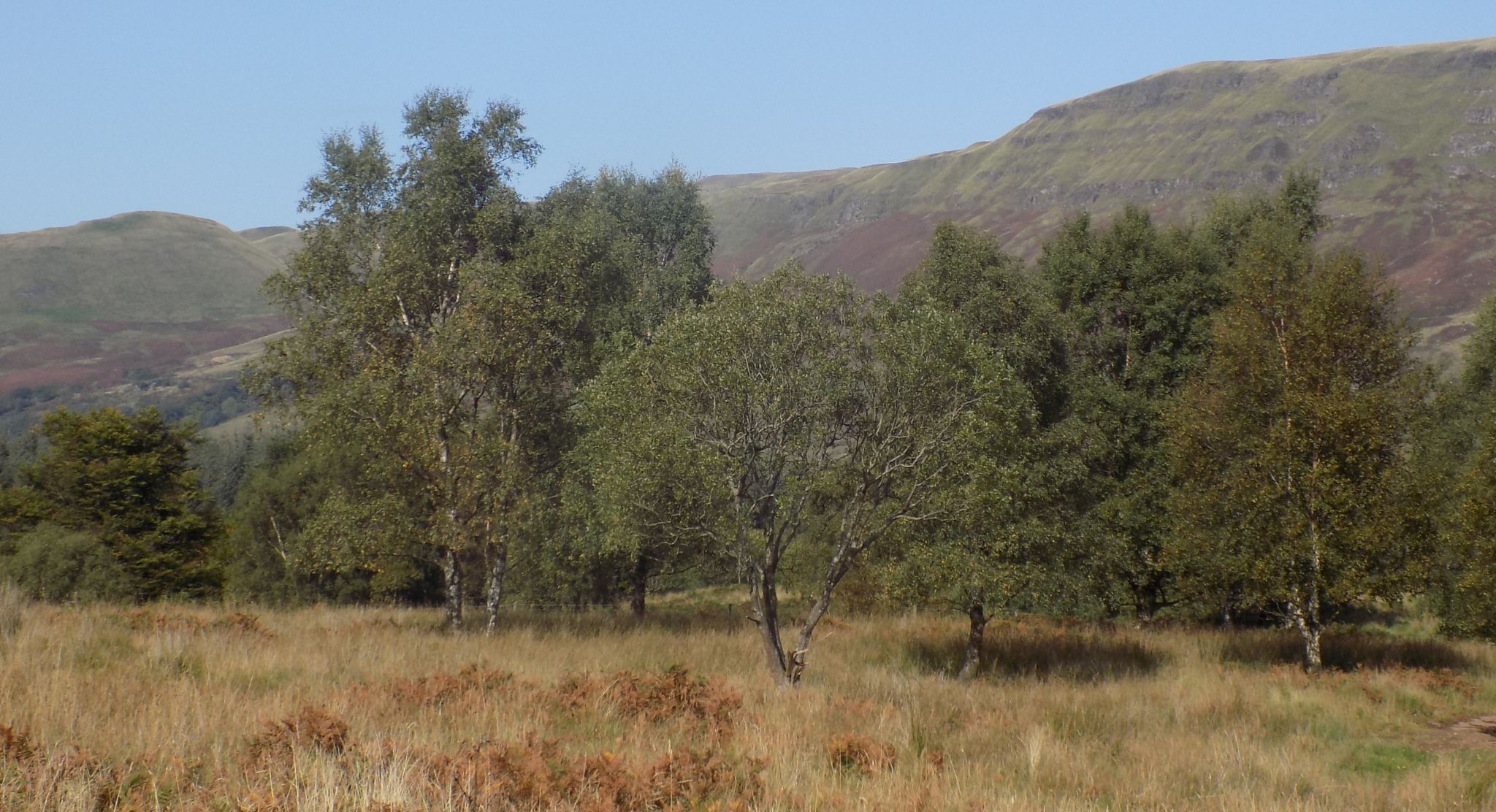
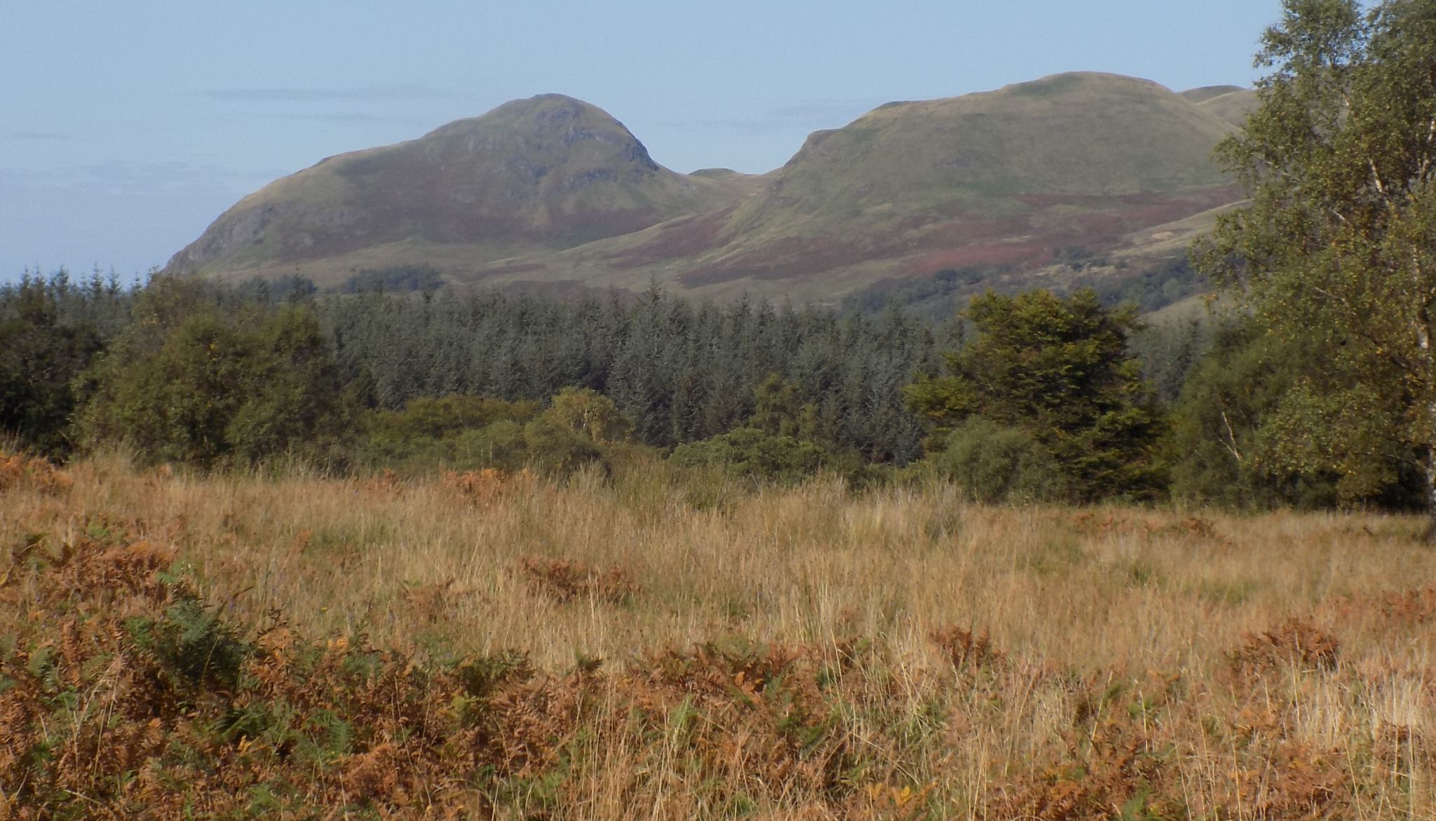
The Campsie
Fells from Dumbrock Muir |
The Campsie
Fells from Dumbrock Muir |
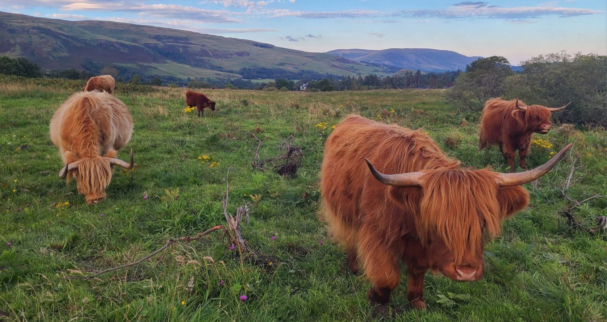
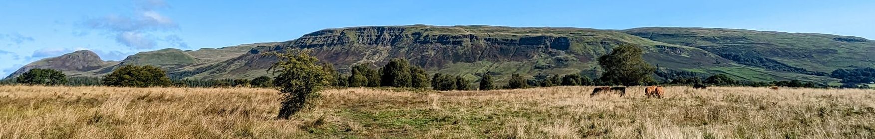
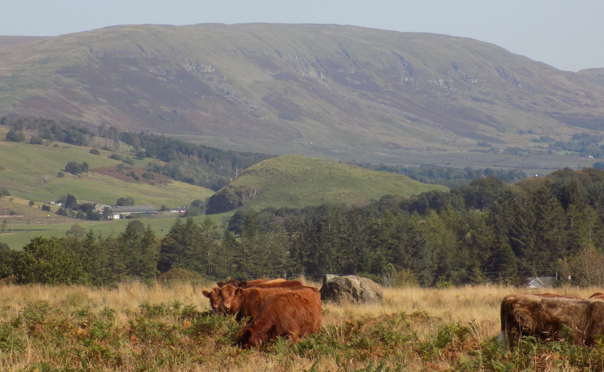
Highland Cattle on Dumbrock Muir |
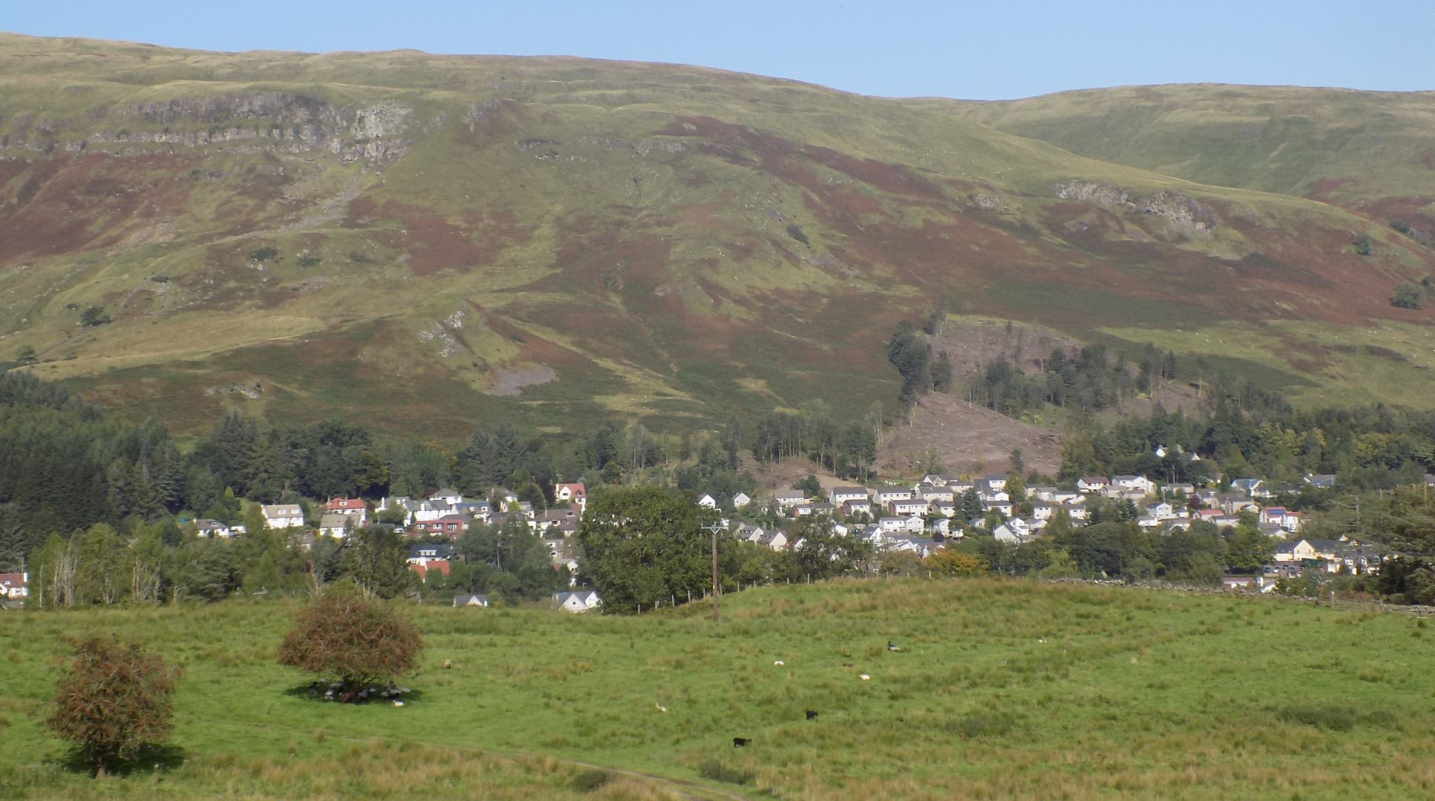
Blanefield beneath the Campsie
Fells from Dumbrock Muir |
The Campsie
Fells from Dumbrock Muir |
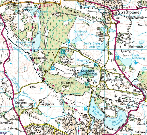 Location
Map for Dumbrock Loch
|
 :: Dumgoyne
& Campsie Fells
:: Dumgoyne
& Campsie Fells 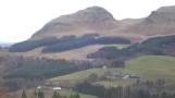
Glencoe | Ben Nevis | Knoydart | Isle of Skye | Isle of Arran
The Eastern Highlands | The Central Highlands | The Southern Highlands | The NW Highlands


Google
Analytics