|
Bearsden WalksBlanefield |
  |
| |
Bearsden WalksBlanefield |
|
Photographs and map of a circular walk
from Blanefield via Pillar Craig
to Carbeth
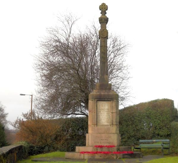 The
War Memorial
in Blanefield |
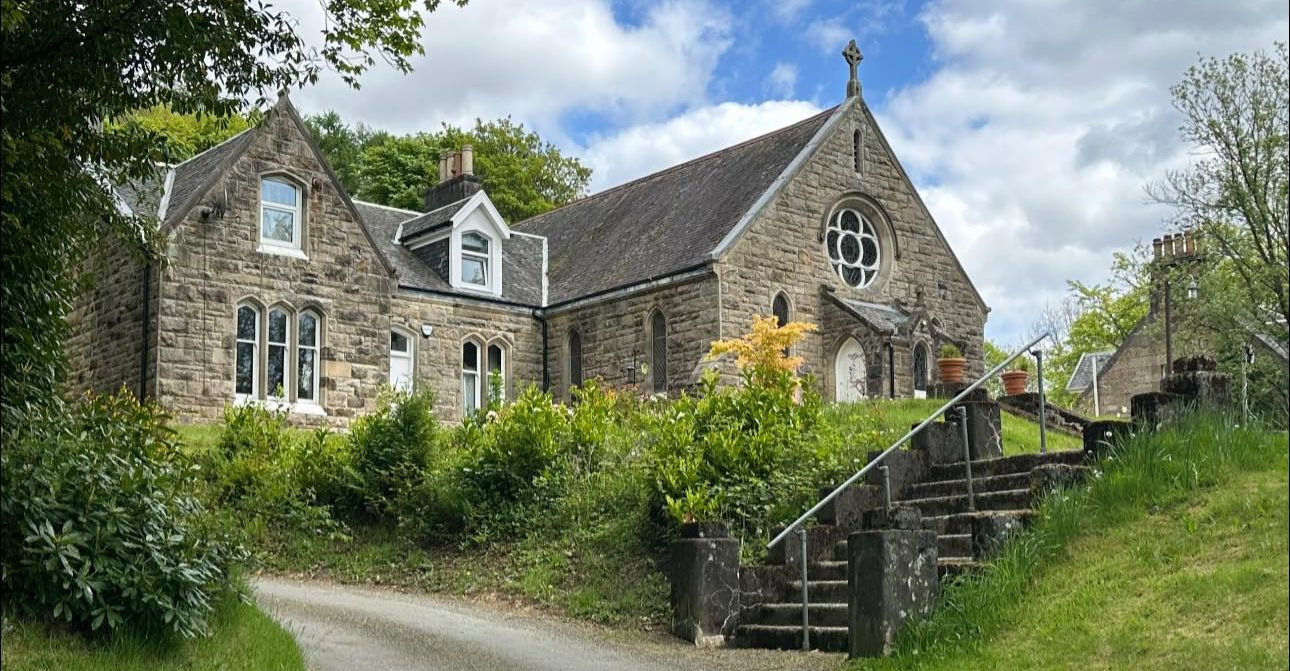 St
Kessog Church in Blanefield
|
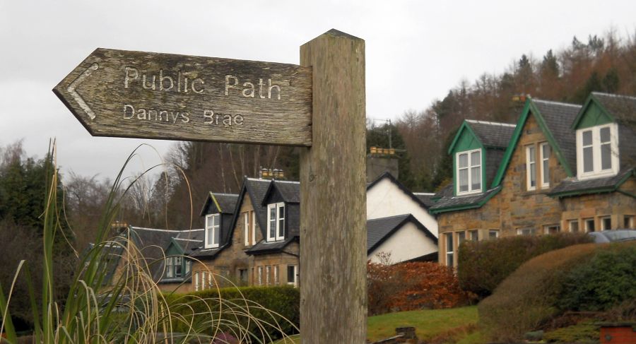 Signpost
in Blanefield
|
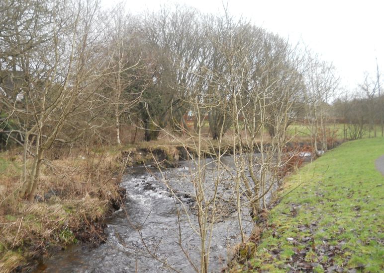 The
Blane Water
at Blanefield |
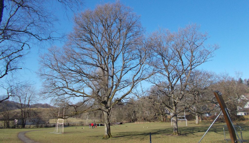 Playing
Field
at Blanefield |
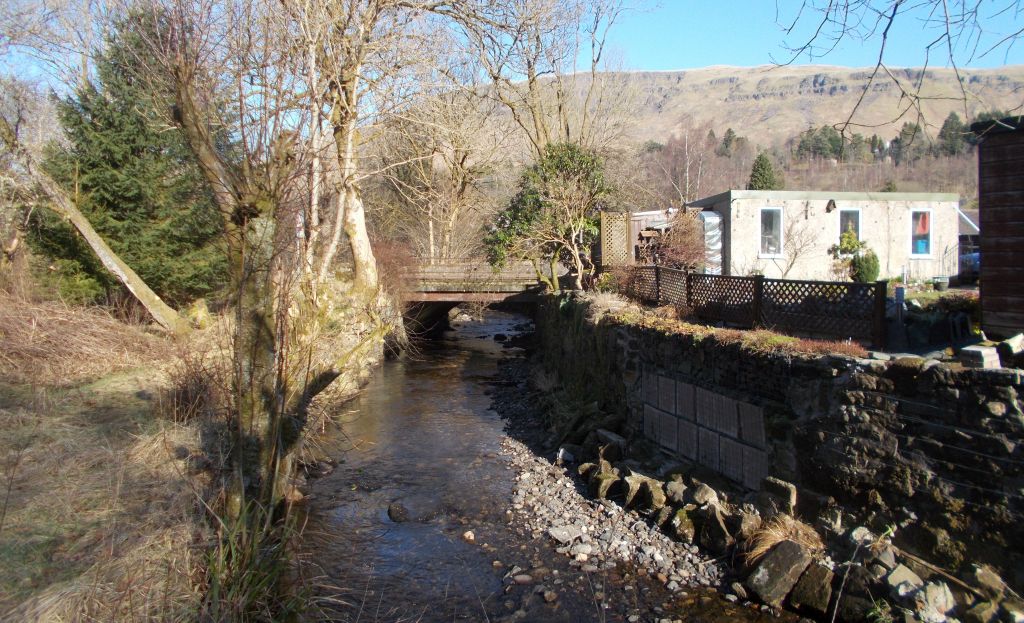
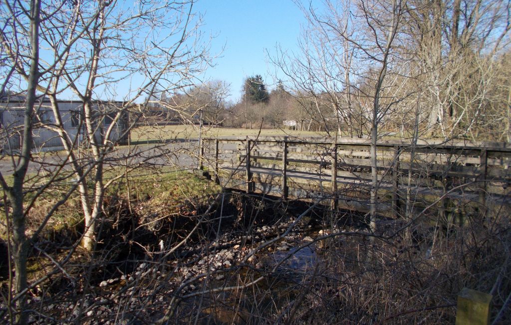 Footbridge
over the Blane Water |
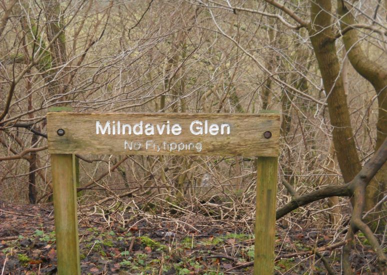 Signpost
in the woods of Milndavie Glen above Blanefield |
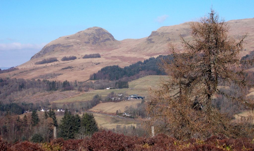
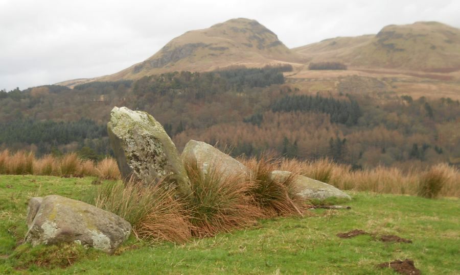
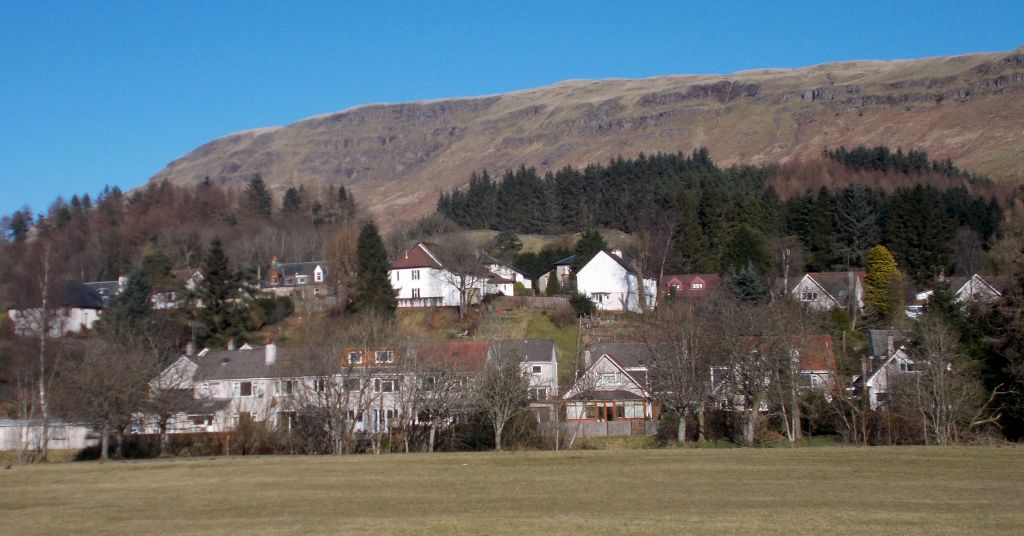
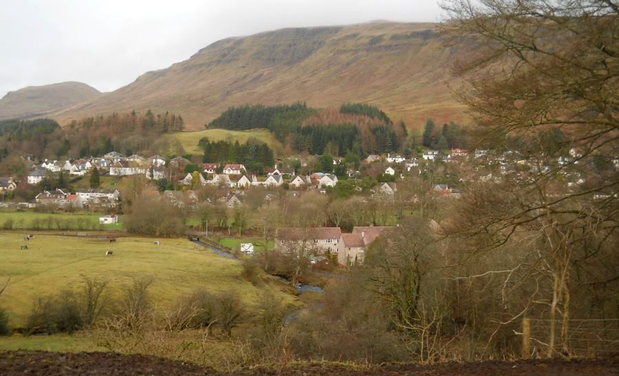 Blanefield
beneath
the Campsie Fells |
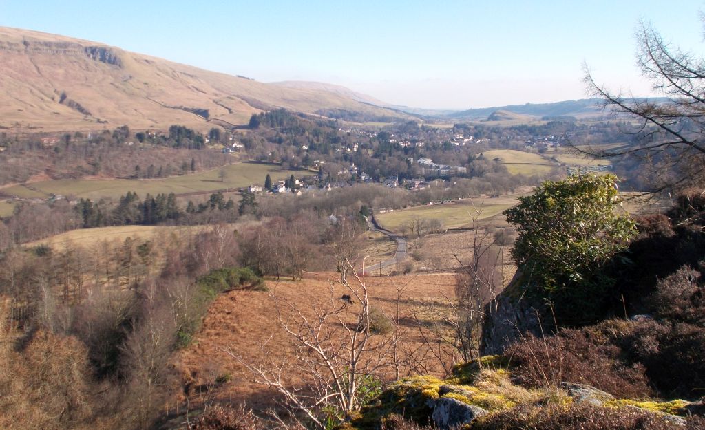 Blanefield
beneath
the Campsie Fells |
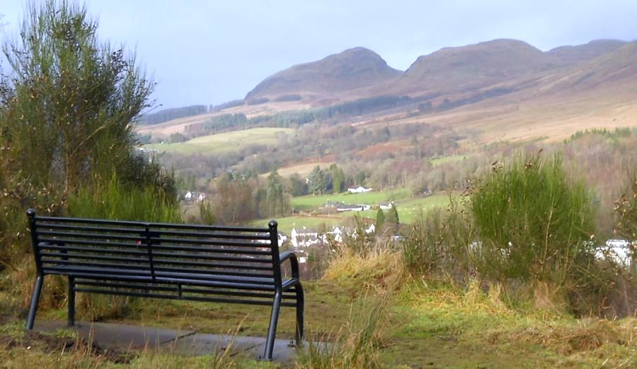 |
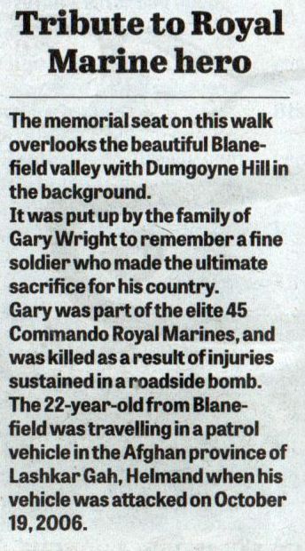 Gary Wright memorial
seat.
|
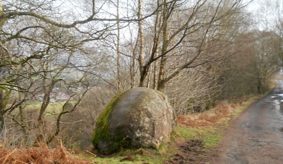 The "
Gowkstone " above Blanefield
According to folklore sliding down the west side of the stone will make one's wishes come true. |
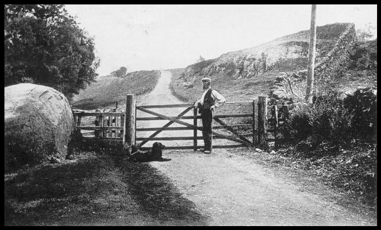 The "
Gowkstone "
above Blanefield - old photo |
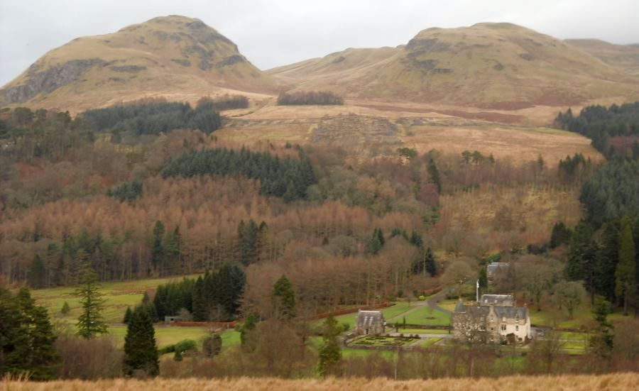
 |
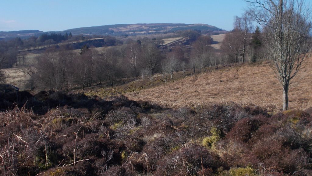
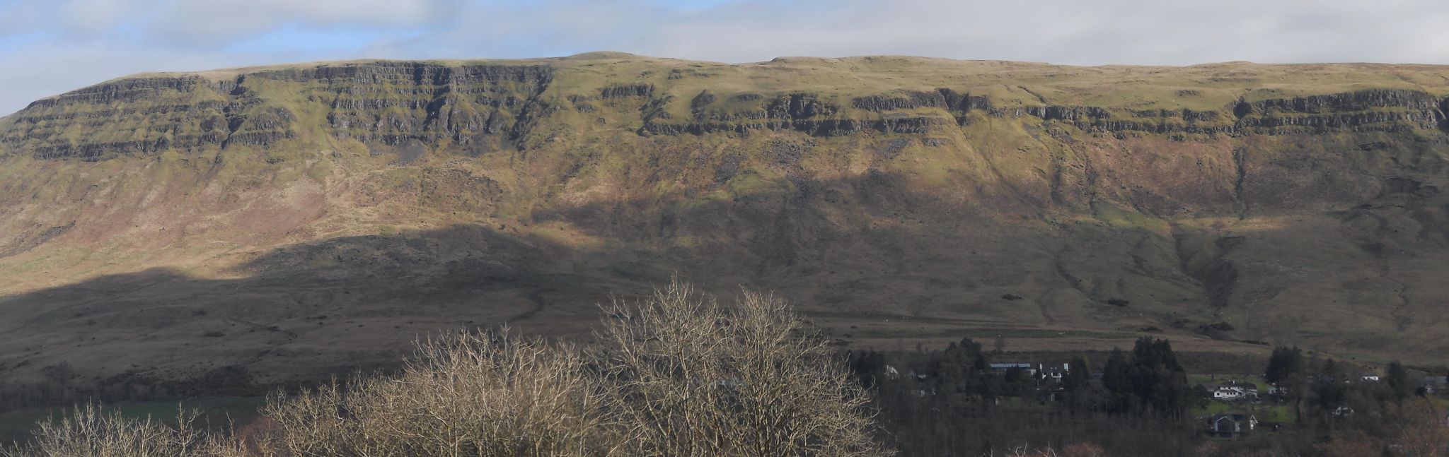 Escarpment
of the Campsie Fells
|
 |
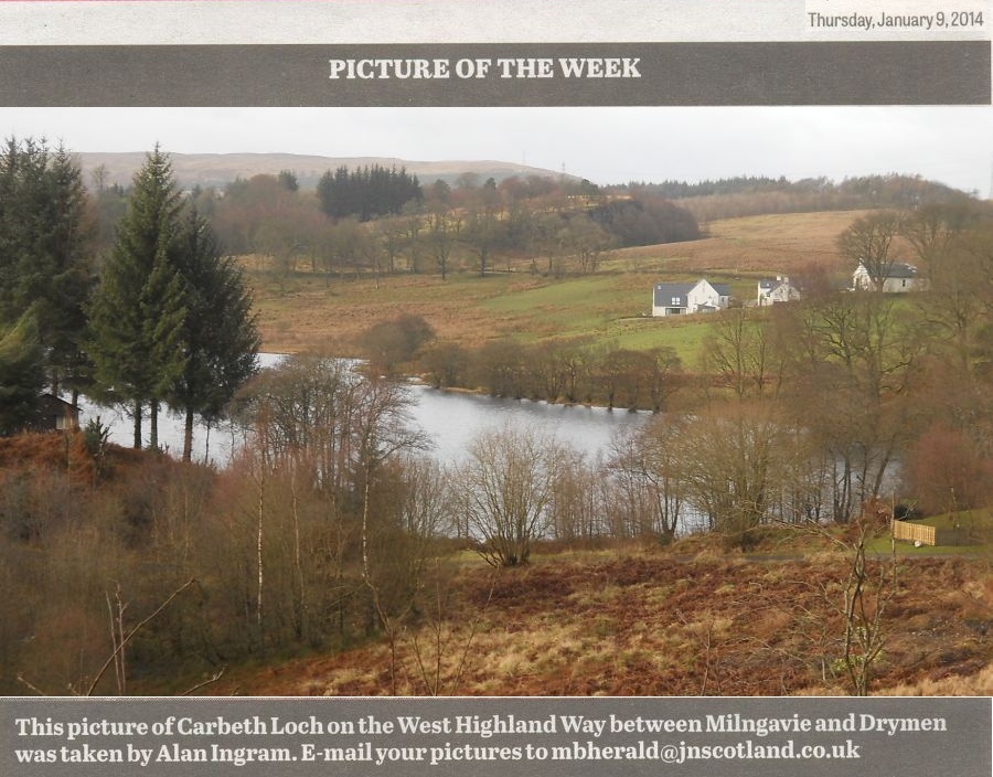
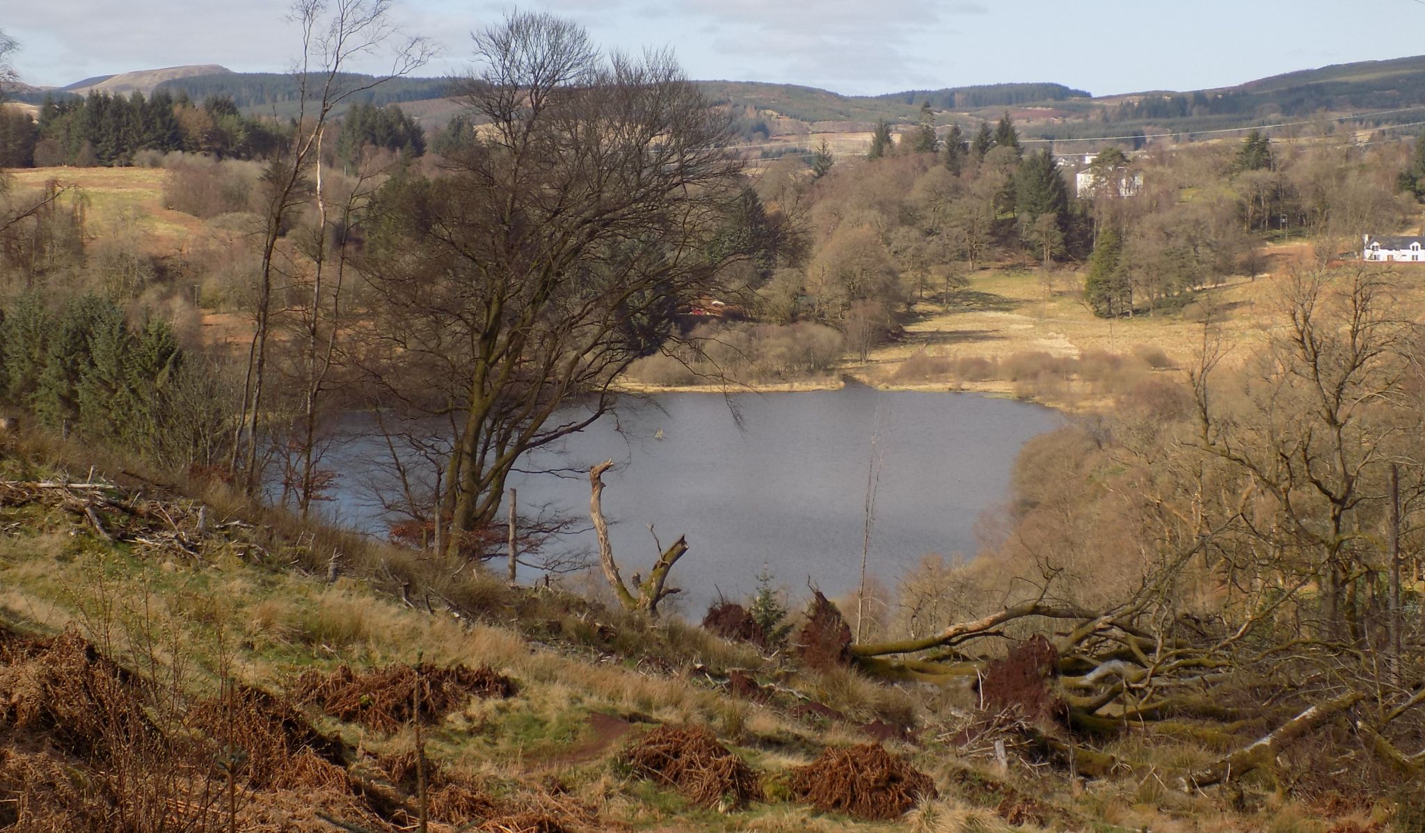 The Loch
at Carbeth
|
 |
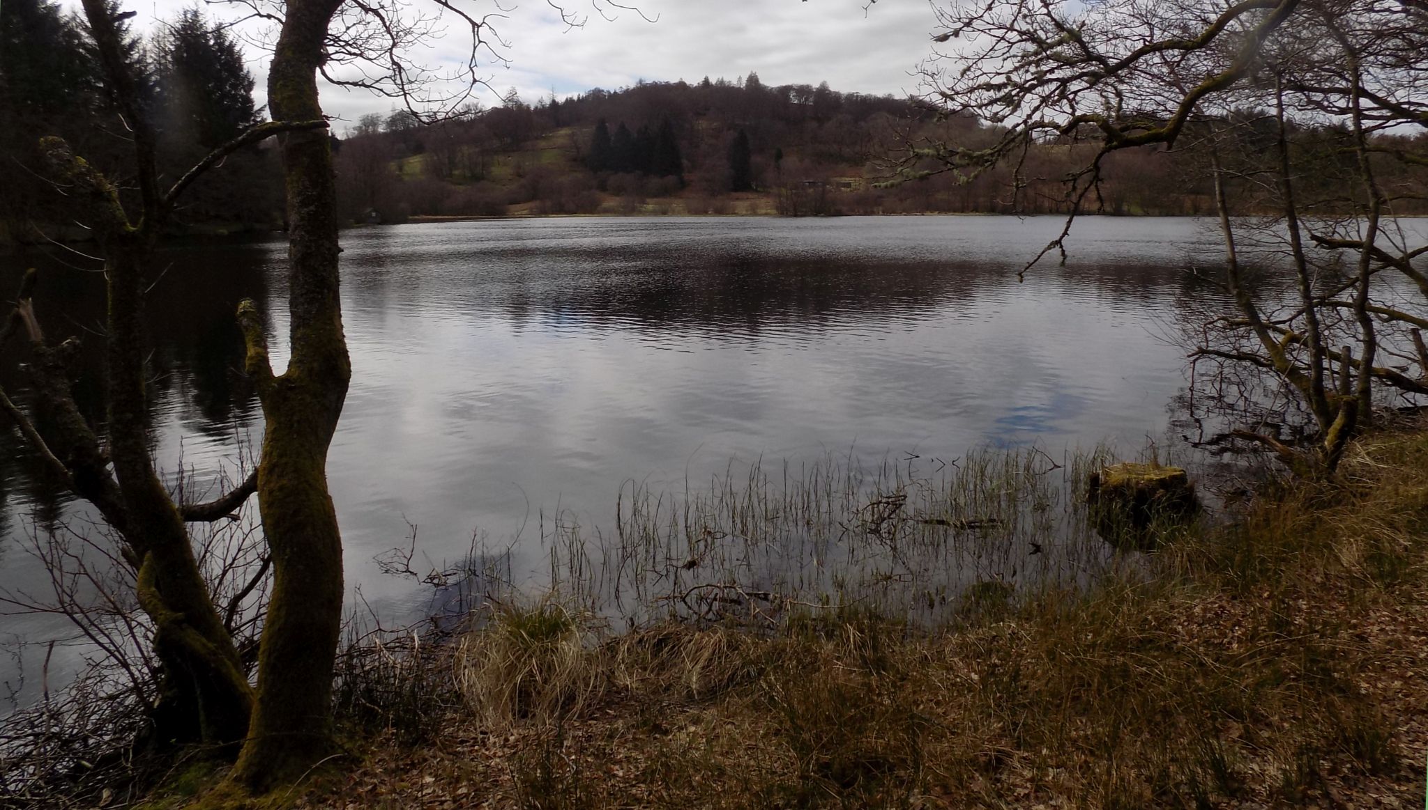 The Loch
at Carbeth
|
 Dumgoyach Hill
from the West Highland Way from Carbeth to Dumgoyne Distillery |
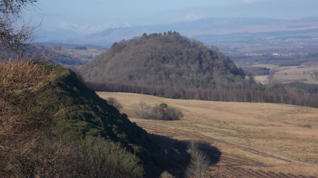 Dumgoyach Hill
on the West Highland Way from Carbeth to Dumgoyne Distillery |
 |
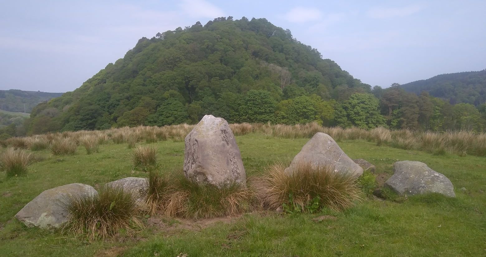 |
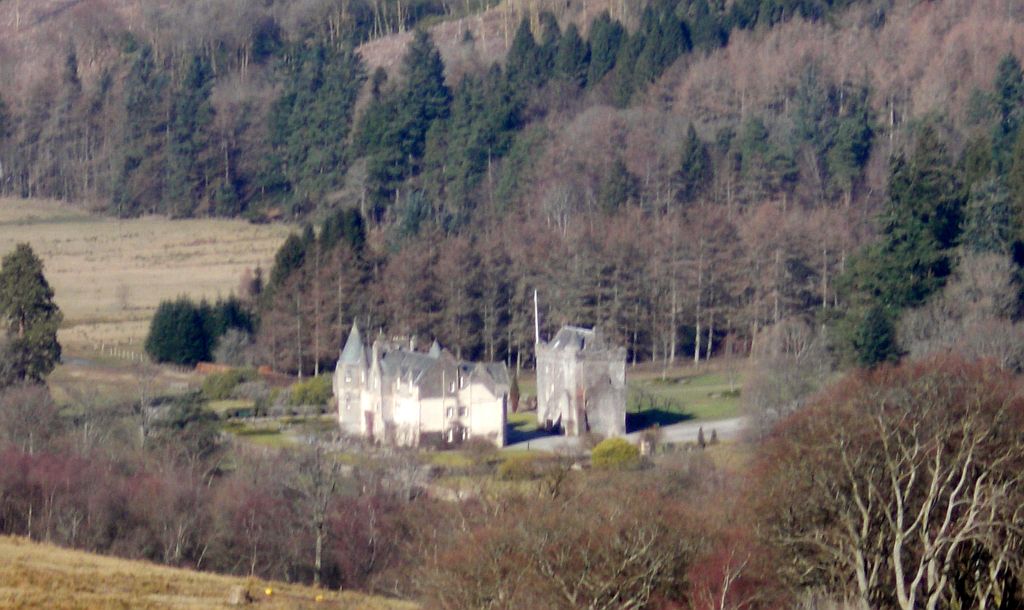
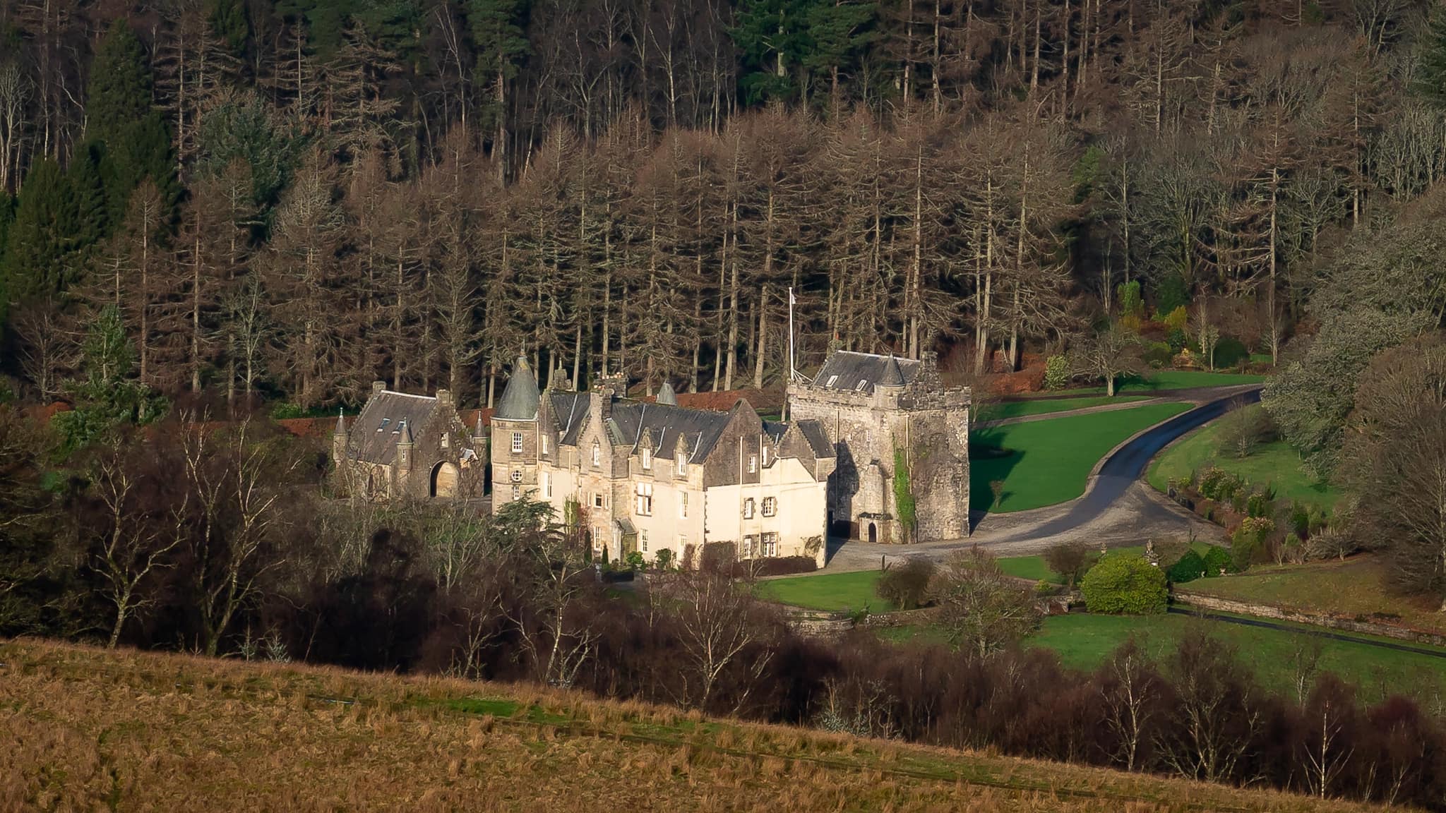
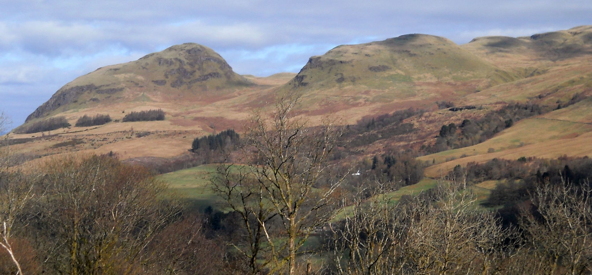
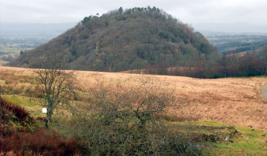
 Auchineden
Hill
from above Blanefield |
|
|
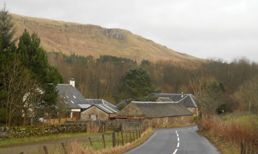 Cuilt Farm houses
on the Cuilt road into Blanefield |
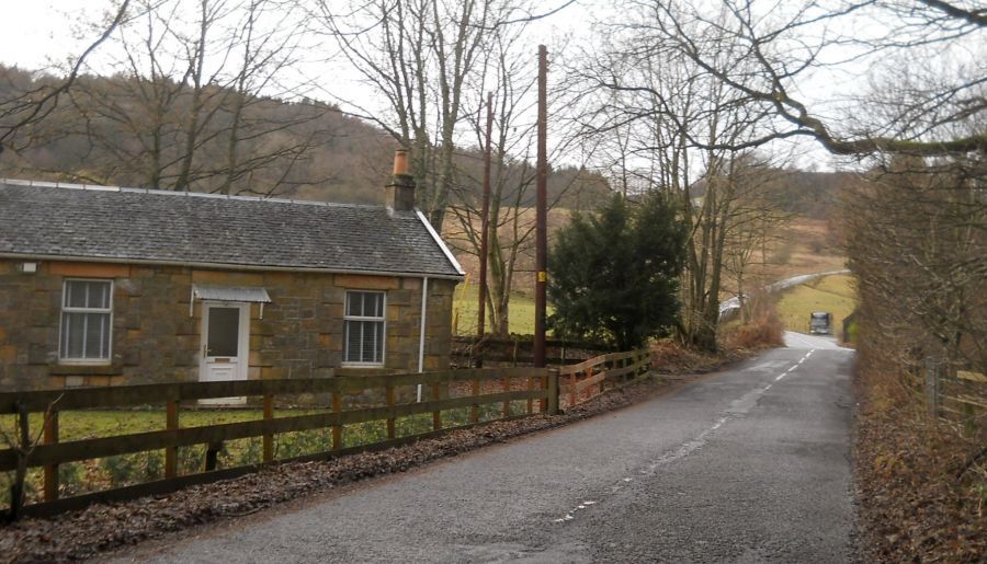 Old Railway Cottage
on Station road at Blanefield |
 Former Railway Station at Blanefield
|
 The
Blane Water
at Blanefield |
 Campsie Fells
above Blanefield |
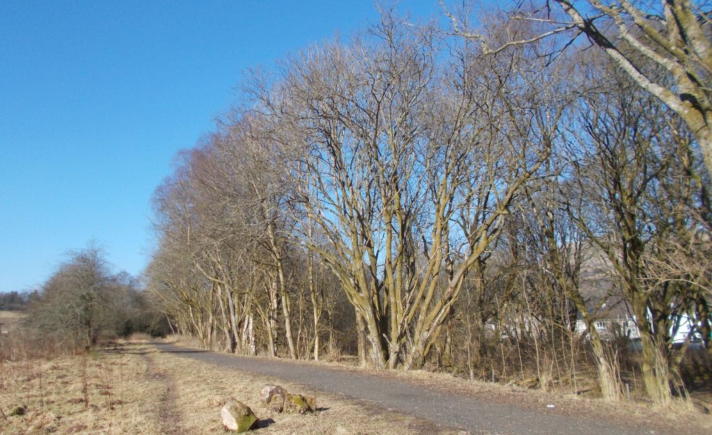 Walkway
alongside the Blane Water |
 Walkway
alongside the Blane Water |
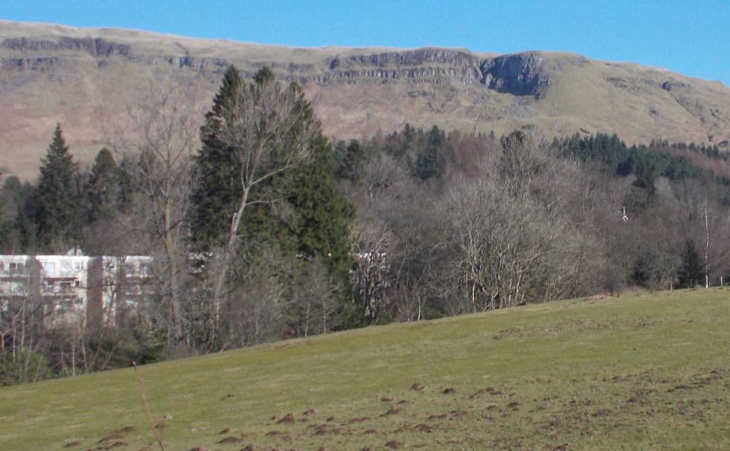 Campsie Fells
above Blanefield |
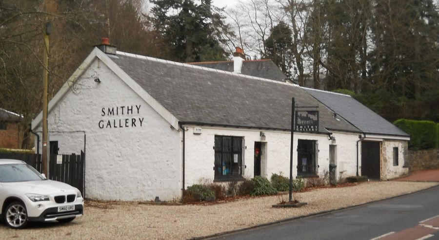 The Smithy Gallery
in Blanefield |
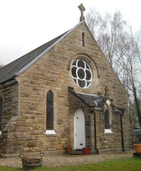 St. Kessog's Church
in Blanefield |
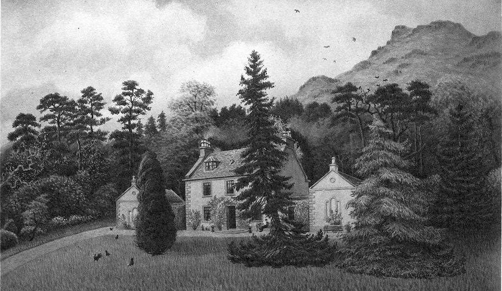 Old picture of Blanefield
|
 Map of
Blanefield
|
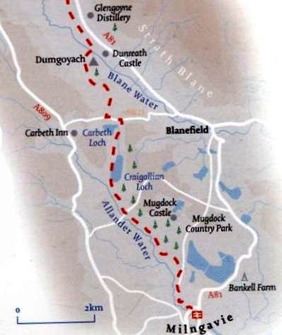
 Route
Map for Blanefield walk
|
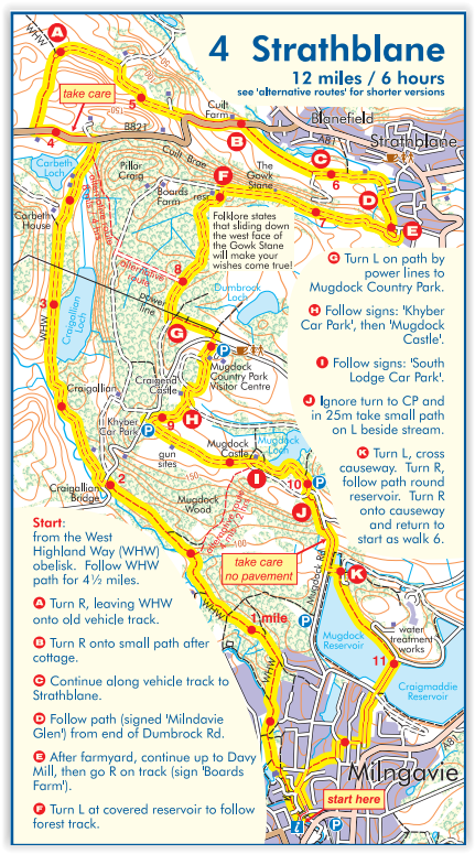
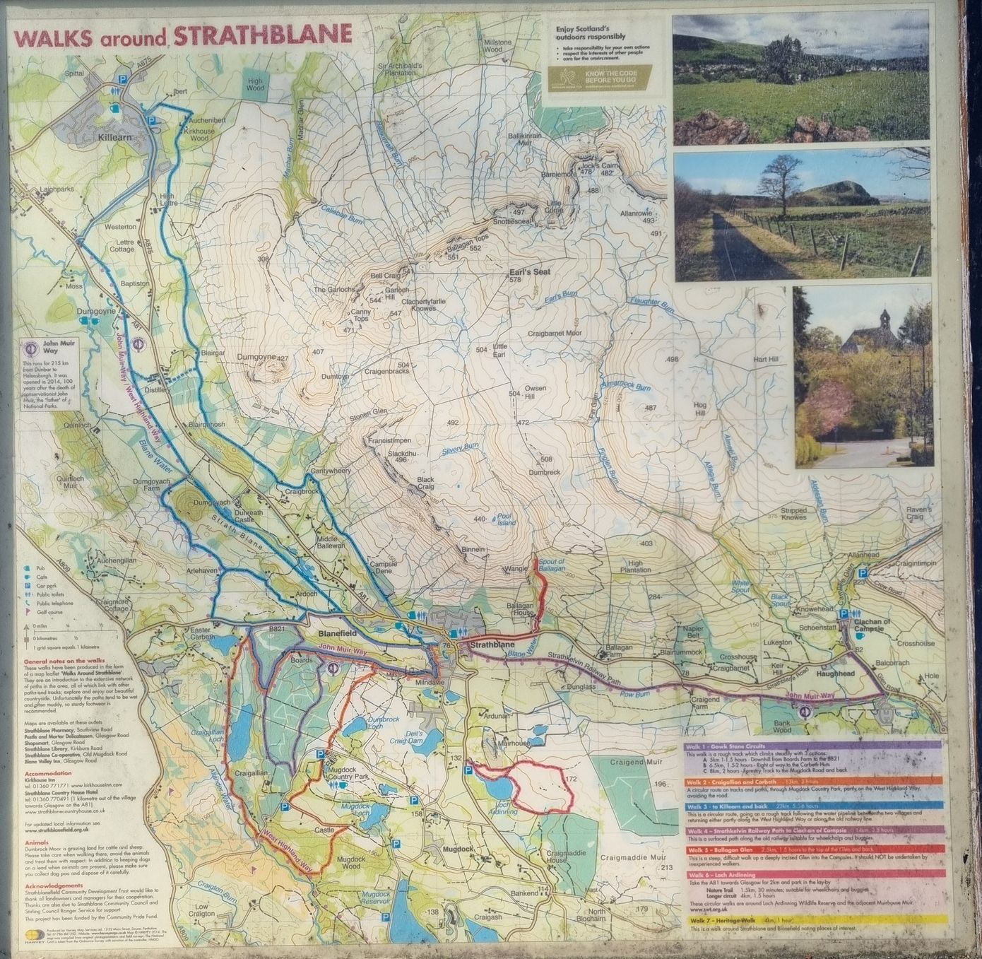 Route
Map for Strathblane walks
|
 |
BLANEFIELD CIRCULAR WALK - ROUTE DESCRIPTION:
 ::
West
Highland Way
::
West
Highland Way 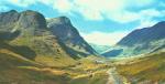 :: Dumgoyne
& Campsie Fells
:: Dumgoyne
& Campsie Fells 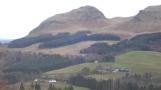
Glencoe | Ben Nevis | Knoydart | Isle of Skye | Isle of Arran
The Eastern Highlands | The Central Highlands | The Southern Highlands | The NW Highlands


Google
Analytics