DUMGOYNE ROUTE -
DESCRIPTION:-
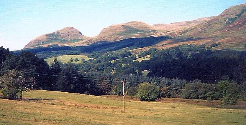
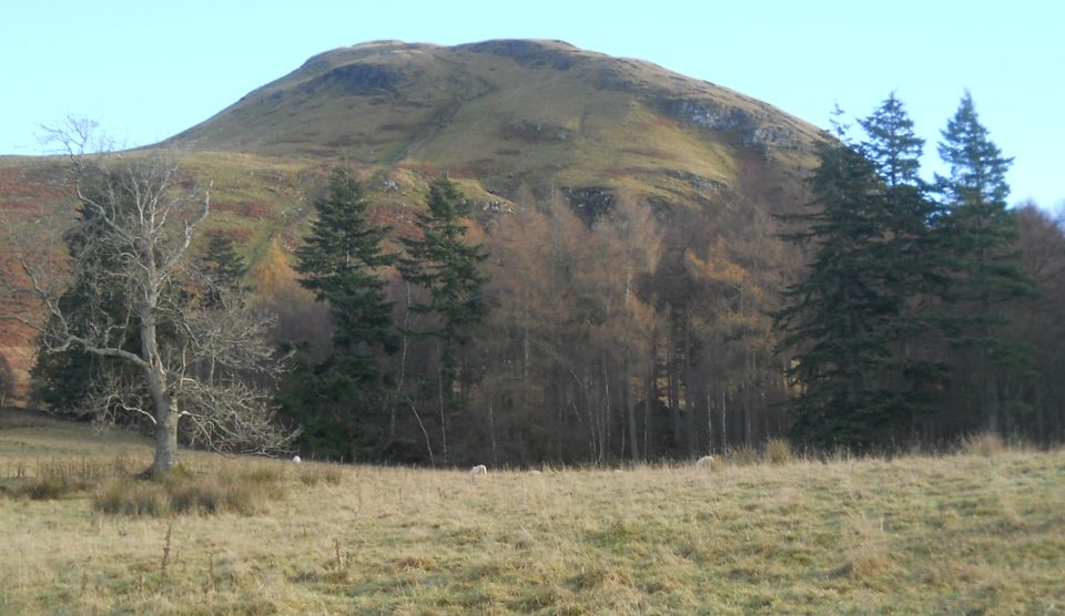
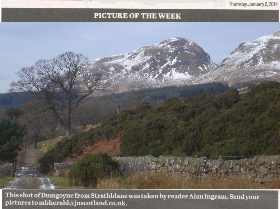
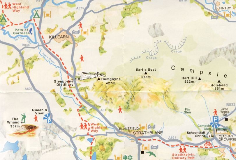
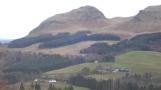
Dumgoyne, is an
iconic landmark at the end of the Campsie
Fells
above Glengoyne Distillery just six miles north of Milngavie.
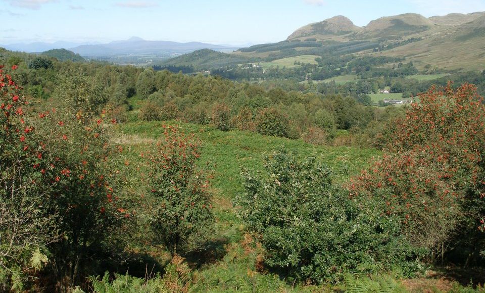
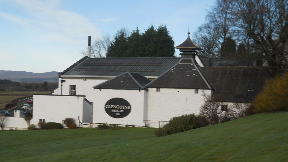
The straightest and shortest way to climb it is to start from the
distillery and walk directly uphill. The path is clear but very steep
especially when it ascends the bluff immediately below the summit.
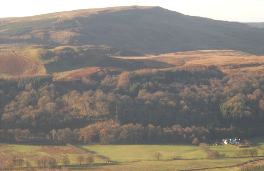
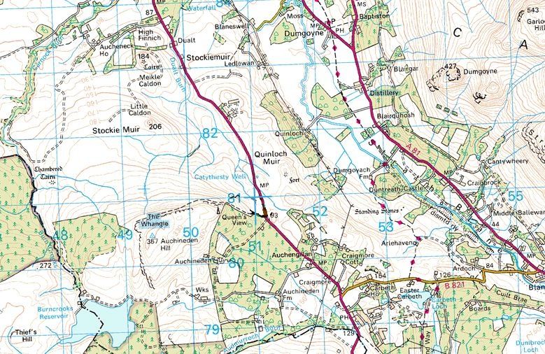
This route to Dumgoyne approaches more gradually from the north side of
the hill and is a distance of approximately five and a half miles from Killearn where there is a small car park on
the other side of the road from the local Cooperative ( which also has
a car park ).
From the car park walk into the village for 200 yards to a road on the
right immediately before the Spar shop.
Turn right up this road; at a bend before Ibert Farm turn right and go
uphill. Turn right again, passing the large house called Auchenibert
and follow the road past various houses and through woodland until it
reaches a
gate beyond which lies grassland and moor.
Follow the flat grassy track for about half a mile until you come to a
clear track on your left. It is ared gravelly soil path and leads
gradually uphill. Below you on the right is a group of farm buildings -
High Lettre Farm. Take the red track which heads in the general
direction of Dumgoyne which is clearly visible. The track zigzags
uphill making the climb
reasonably gentle. It's also dry and firm underfoot and is graded to
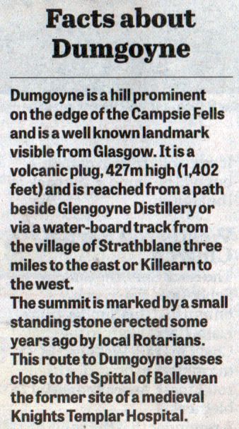
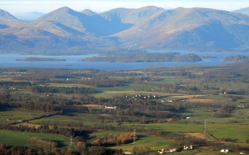
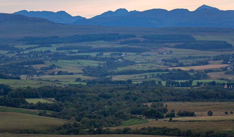
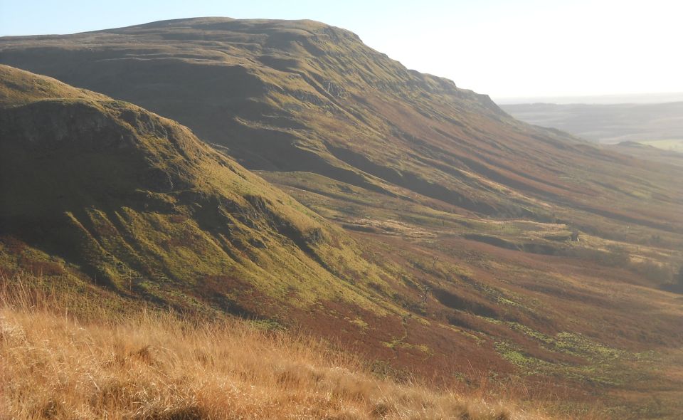
allow for rainwater run-off. As you climb the view gradually widens to
encompass
the southern part of Loch Lomond, Ben Lomond and the Arrochar Alps, and the range of
mountains and hills in the Trossachs.
Closer to hand you look down on a wide heather-strewn moor. Beyond the
moor are the villages of Killearn and Balfron. Dumgoyne has become invisible,
hidden by the ridge of the hillside that you have been traversing.
Eventually the track divides with one on the left taking a long sweep
northwards; there are long stretches of deer fencing on that side -
perhaps it is deer hunting and grouse shooting ( there are grouse butts
on the hillside ) that has made it worthwhile to surface the track for
vehicles.
Take the right hand branch that heads round towards Dumgoyne that
has now come into sight again.
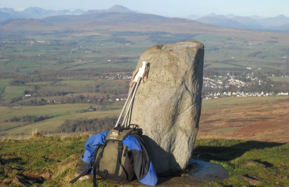
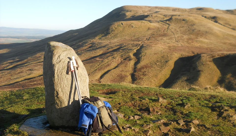
At the end of this branch of the track a path winds up to the ridge
between Dumgoyne and Earl's Seat, the
highest point in the Campsies.
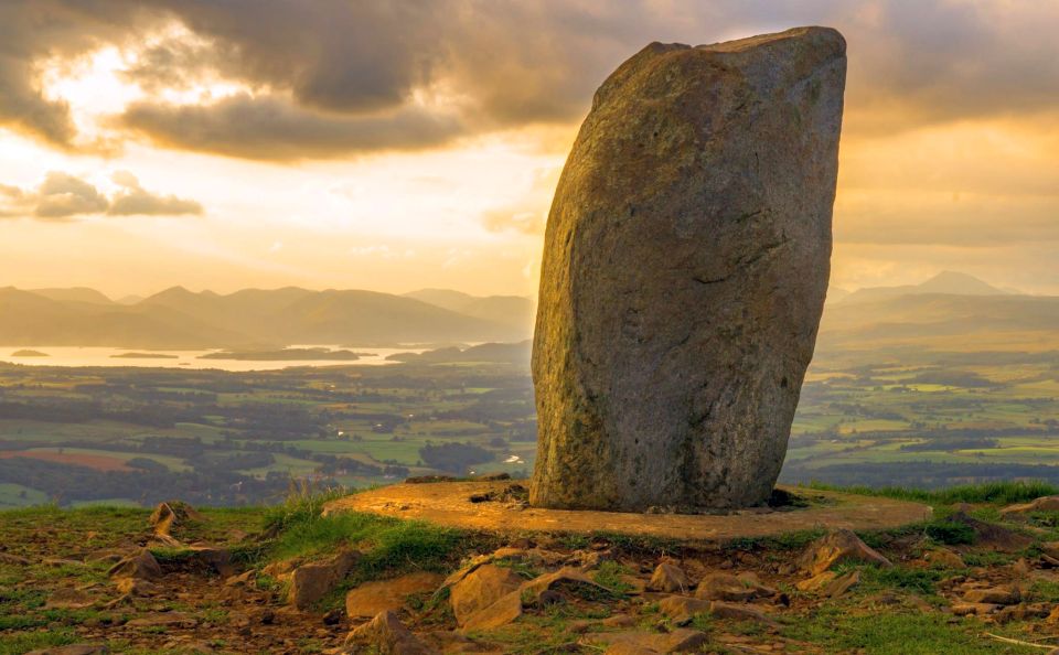
A steep ascent from the col then gains the summit of Dumgoyne and a
fine viewpoint.
The
Campsie Fells:-
(  Thumbnail
Gallery )
Thumbnail
Gallery )