 |
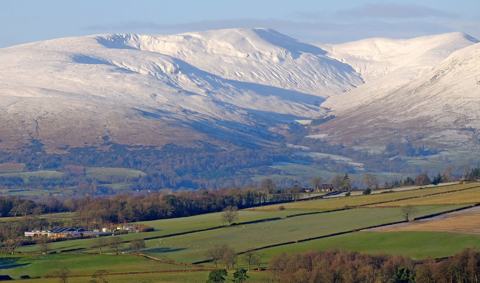
The Southern HighlandsLuss Hills
|
  |
| |
The Southern HighlandsLuss Hills
|
|
 Luss
Hills
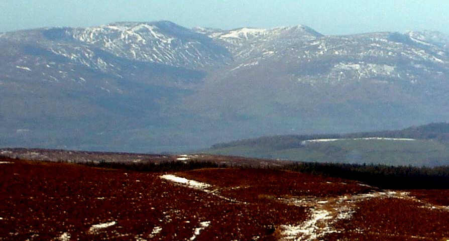
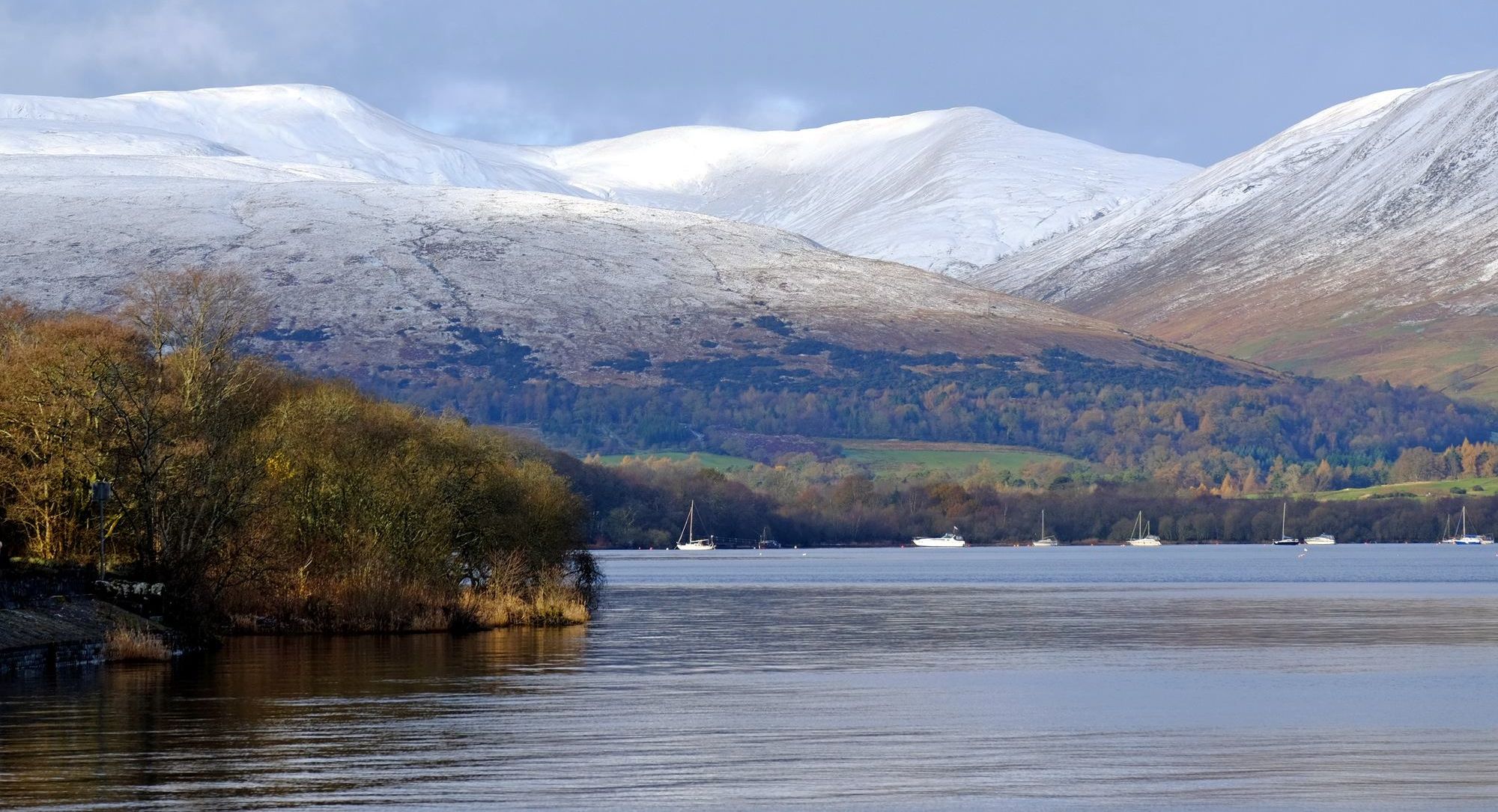
above Loch Lomond from Milton Crags |
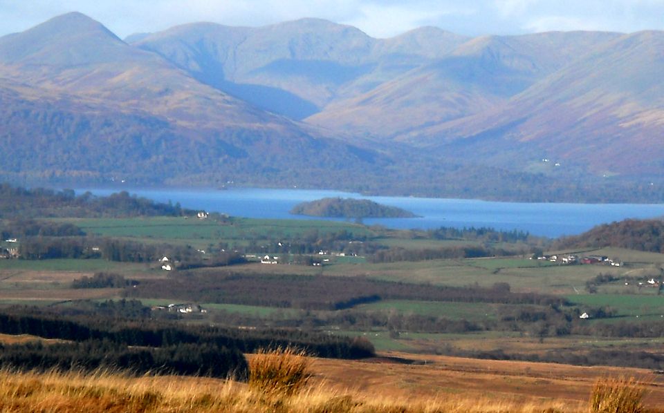
 Luss
Hills above Loch Lomond
from Duncolm in the Kilpatrick Hills |
 Luss
Hills and Loch
Lomond
on route to The Whangie |
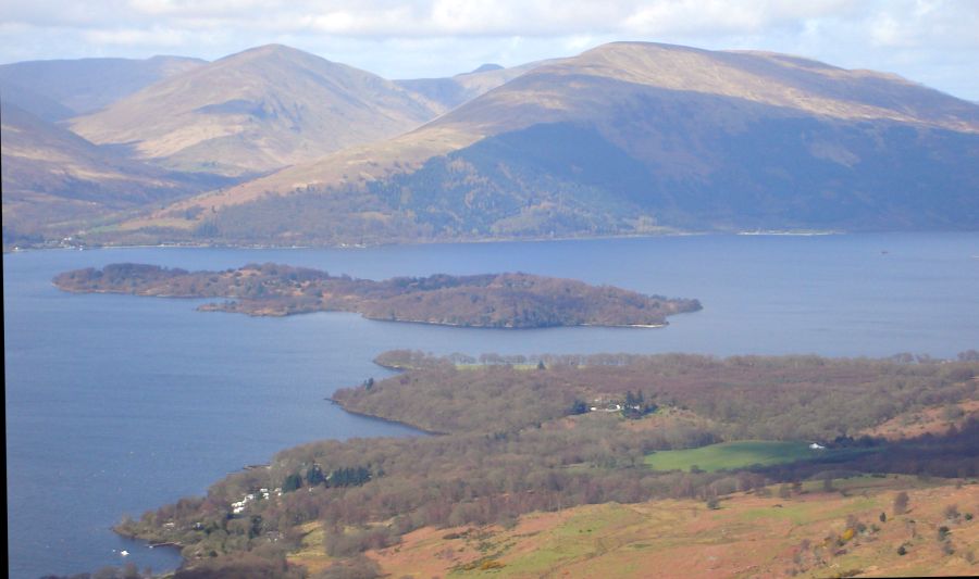 |
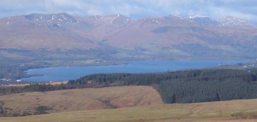
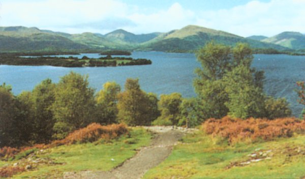
 Luss
Hills
across Loch Lomond |
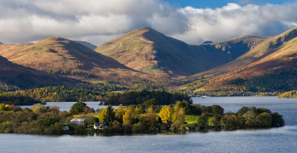
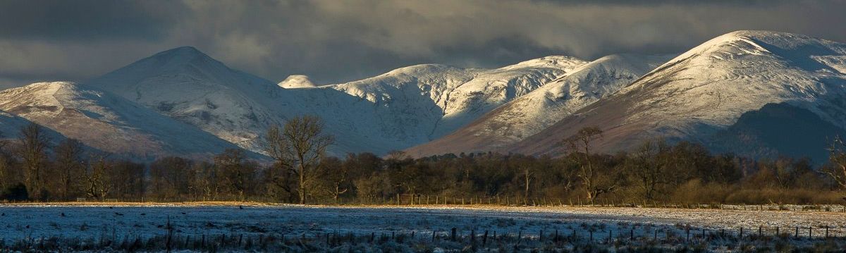
 Glen
Finglas
from Milarrochy Bay on Loch Lomond |
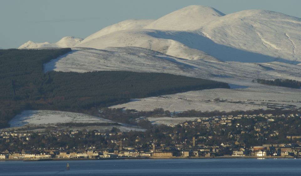 Luss
Hills
above Helensburgh |
 Luss
Hills
|
 Luss Hills from Conic Hill above Balmaha |
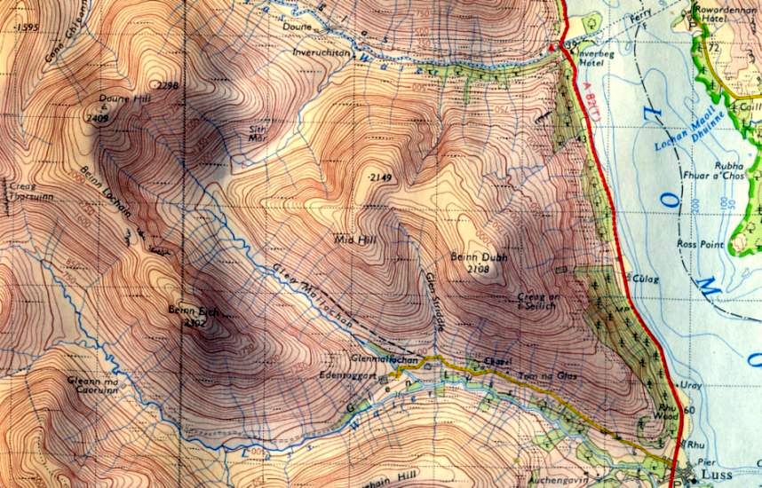 Map
for Beinn Dubh and Doune Hill
in the Luss Hills above Loch Lomond |
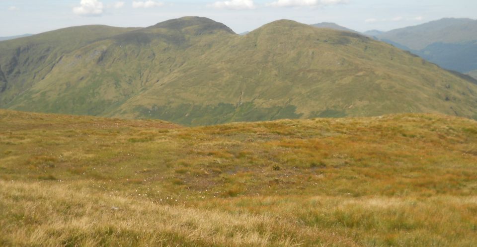 Doune
Hill
from Coire na h-Eanachan |
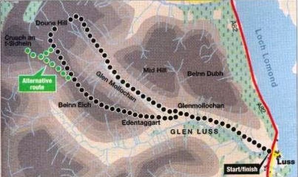 Route
Map for Doune
Hill
and Beinn Eich in the Luss Hills |
DOUNE HILL & BEINN EICH - ROUTE DESCRIPTION:
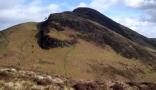
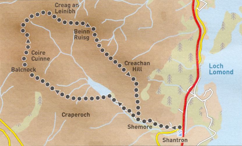 Beinn
Ruisg in the Luss
Hills
above Loch Lomond |
BEINN RUISG - ROUTE DESCRIPTION:
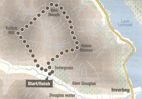 Route
Map for Beinn Bhreac
above Glen Douglas and Loch Lomond |
BEINN BHREAC - ROUTE DESCRIPTION:
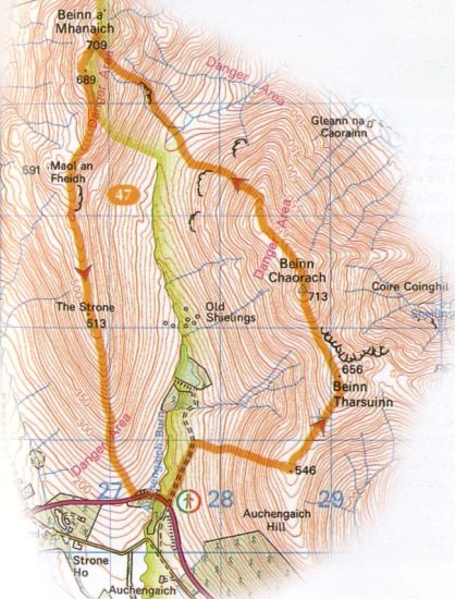 Route
Map for Beinn Chaorach
above Loch Lomond Beinn Chaorach is the highest of the Luss Hills. It lies off a horshoe ridge above Glen Fruin. |
 |
Glencoe | Ben Nevis | Knoydart | Isle of Skye | Isle of Arran
The Eastern Highlands | The Central Highlands | The Southern Highlands | The NW Highlands