 |
The
Southern Highlands
|
  |
| |
The
Southern Highlands
|
|
Photographs
of a circular traverse
of
Beinn a'Mhanaich and Beinn Chaorach
in the Luss Hills
above
Glen
Fruin between Loch Long and Loch
Lomond
in the Southern Highlands of Scotland
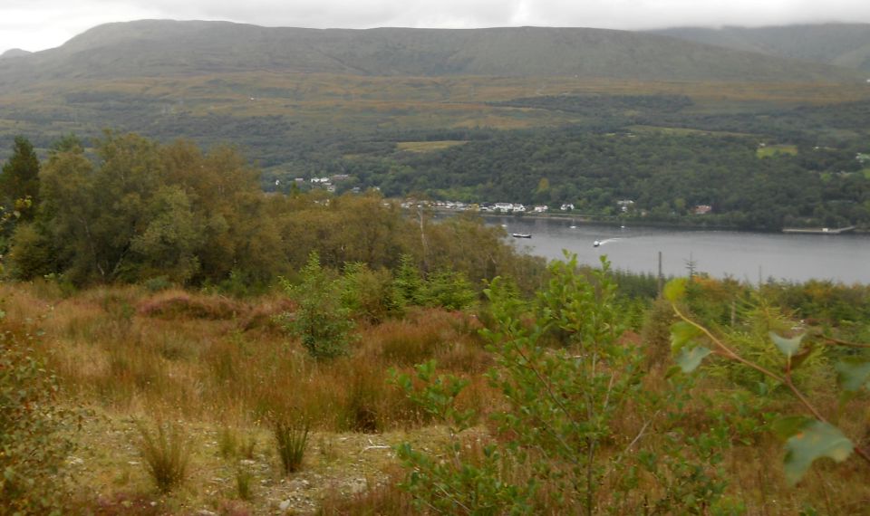
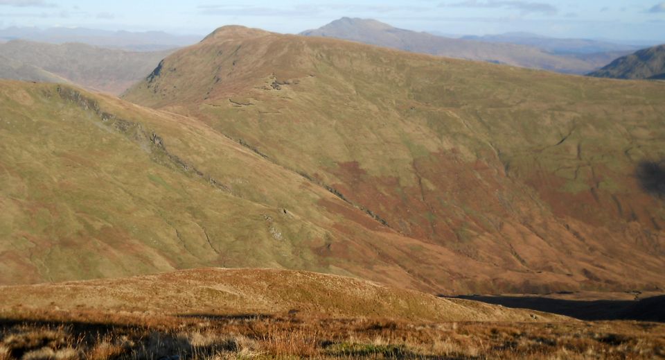
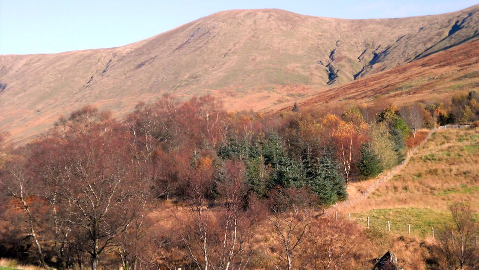 Bheinn
Tharsuinn above Glen
Fruin
|
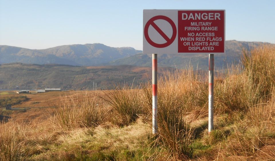 Danger
Zone on ascent of Beinn
a'Mhanaich
|
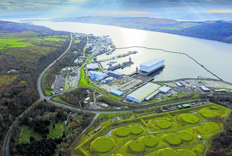
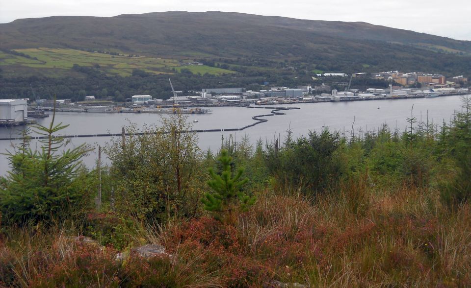
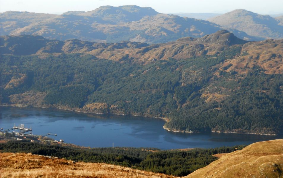
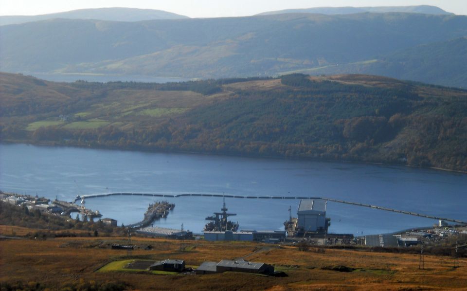 Faslane
on Gare Loch
Her Majesty's Naval Base, Clyde ( HMNB Clyde ) is one of three operating bases in the United Kingdom for the Royal Navy. It is the service's headquarters in Scotland and is best known as the home of Britain's nuclear weapons, in the form of nuclear submarines armed with Trident missiles. |
 Faslane
on Gare Loch
|
 Faslane
on Gare Loch
|
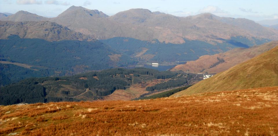
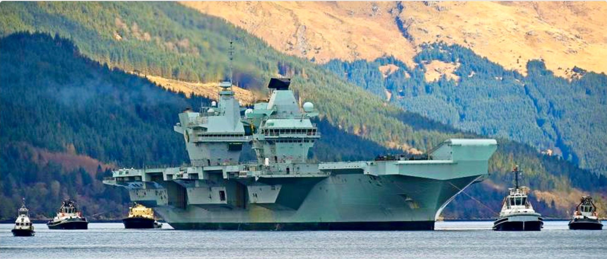 Aircraft
carrier HMS Queen Elizabeth
in Loch Long |
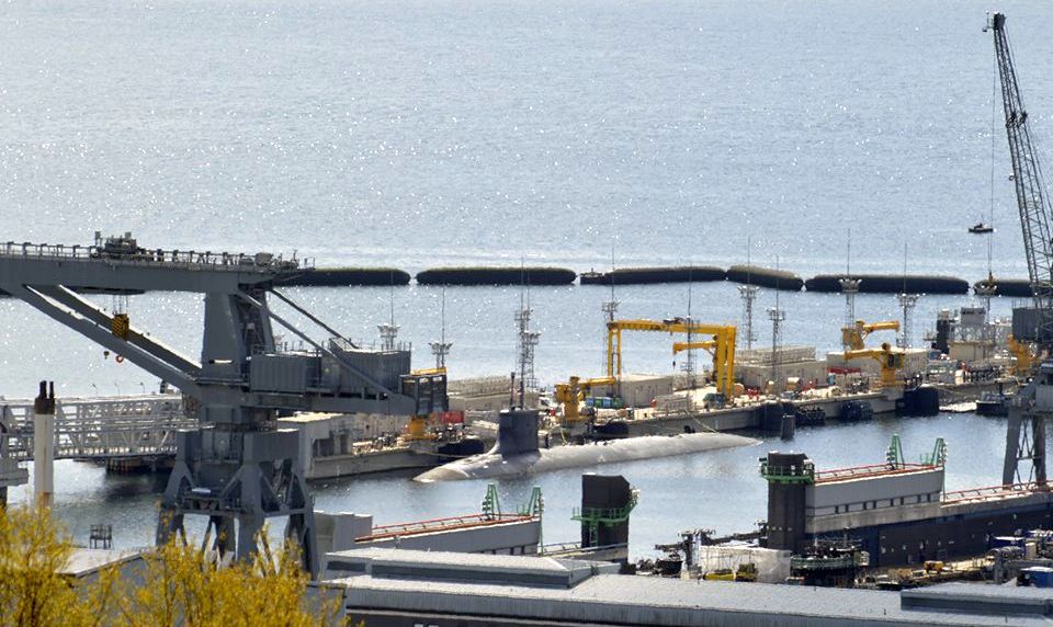
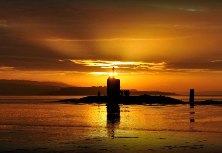 Nuclear
submarine
at Faslane on Gare Loch Sunsets & Sunrises Gallery |
 Faslane
on Gare Loch
from Rosneath Peninsula |
 |
 Beinn
a'Manaich
above Loch Long
|
 |
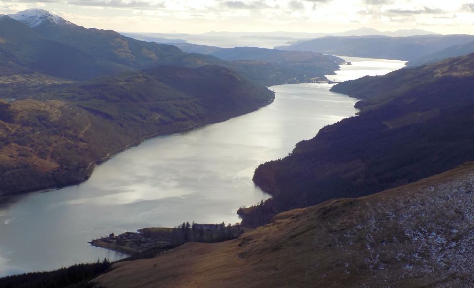
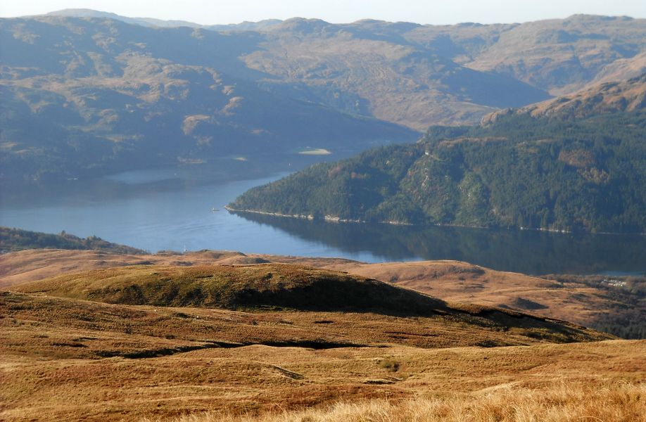 Junction
of Loch Goil and Loch
Long
|
 Beinn Bheula above Gare
Loch
|
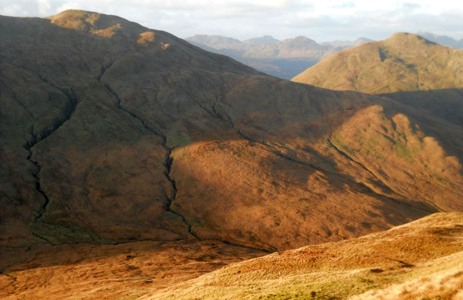
 Arrochar Alps from
Beinn a'Mhanaich
|
 |
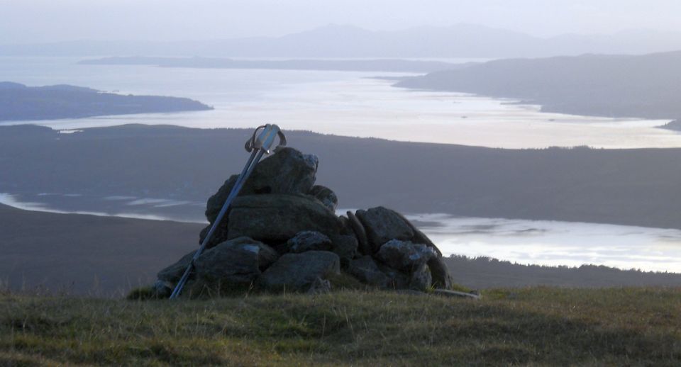
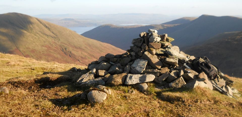 Loch
Lomond from summit of Beinn a'Mhanaich ( 2328ft, 709m )
|
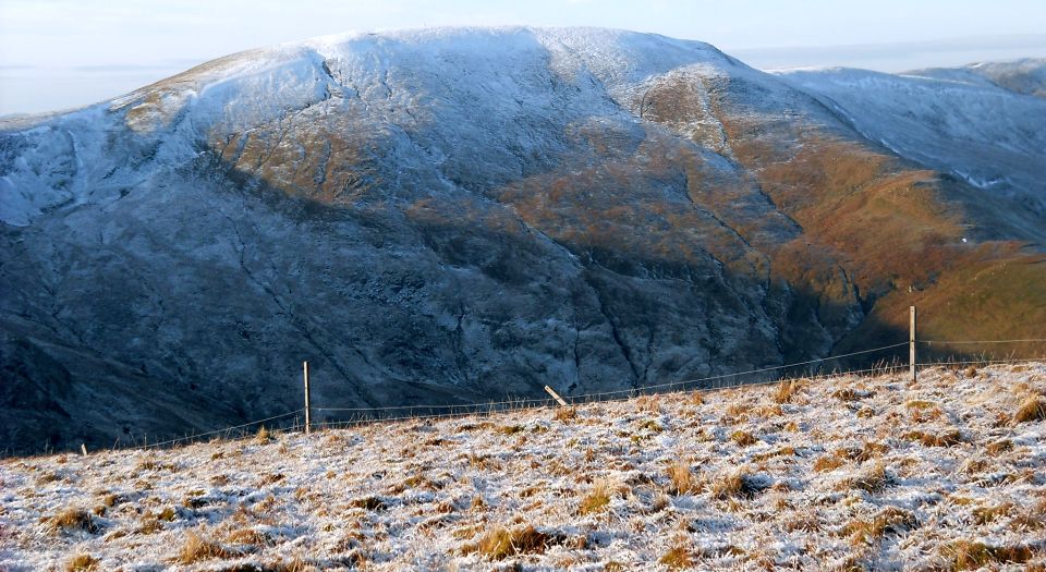
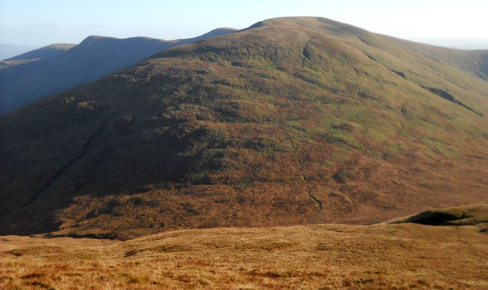 Beinn
Chaorach from Beinn a'Mhanaich
|
 |
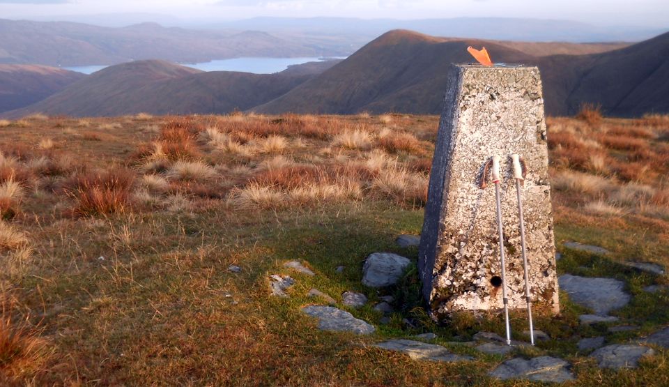 Loch Lomond from trig point
on Beinn Chaorach ( 2338ft, 719m )
|
 |
 Beinn
Chaorach from Beinn Ruisg
|
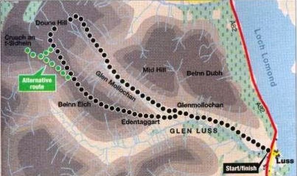
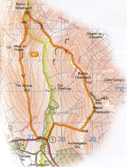 Route
Map for Beinn Chaorach
above Loch Lomond
Beinn Chaorach is the highest of the Luss Hills. It lies off a horshoe ridge above Glen Fruin. |
 Route
Map for Beinn Chaorach
above Loch Lomond
Beinn Chaorach is the highest of the Luss Hills. It lies off a horshoe ridge above Glen Fruin. |
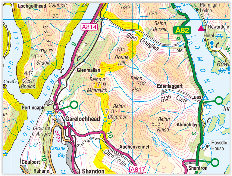 Map
for Beinn Chaorach in the
Luss
Hills above Loch Lomond
|
 Route
Map for Doune
Hill and Beinn Eich
in the Luss
Hills
|
Glencoe | Ben Nevis | Knoydart | Isle of Skye | Isle of Arran
The Eastern Highlands | The Central Highlands | The Southern Highlands | The NW Highlands