|
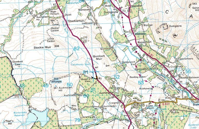
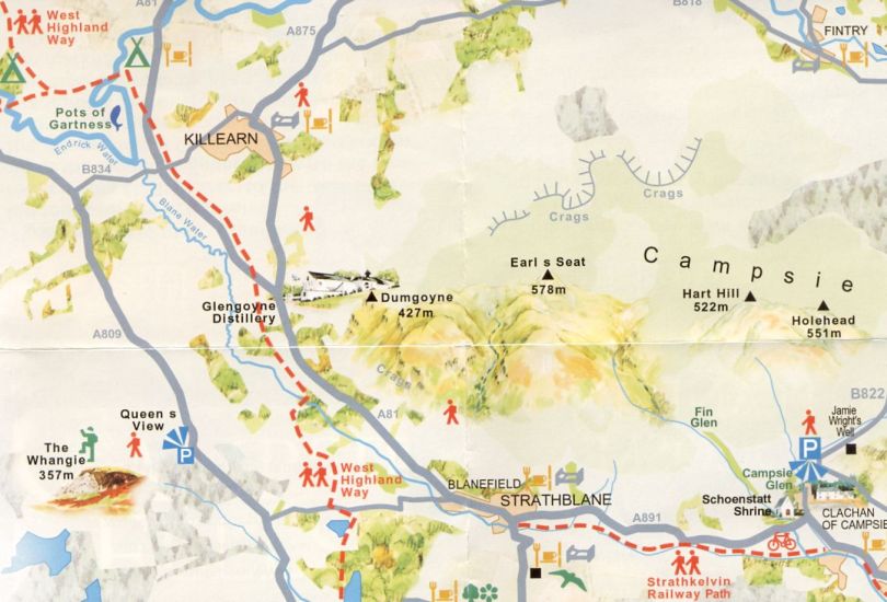
West Highland WayGlengoyne Distillery |
  |
| |
West Highland WayGlengoyne Distillery |
|
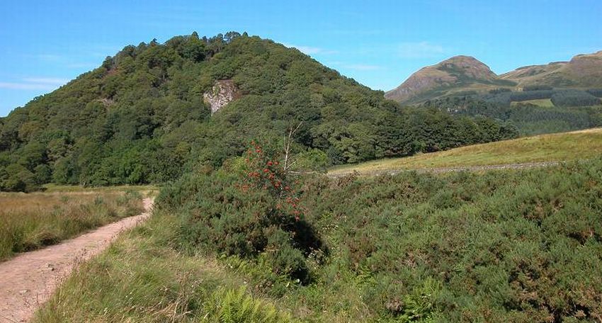
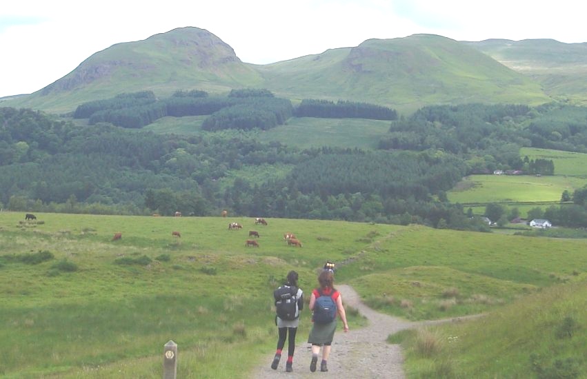 Dumgoyne
and the Campsie Fells
on route from Carbeth to Glengoyne Distillery |
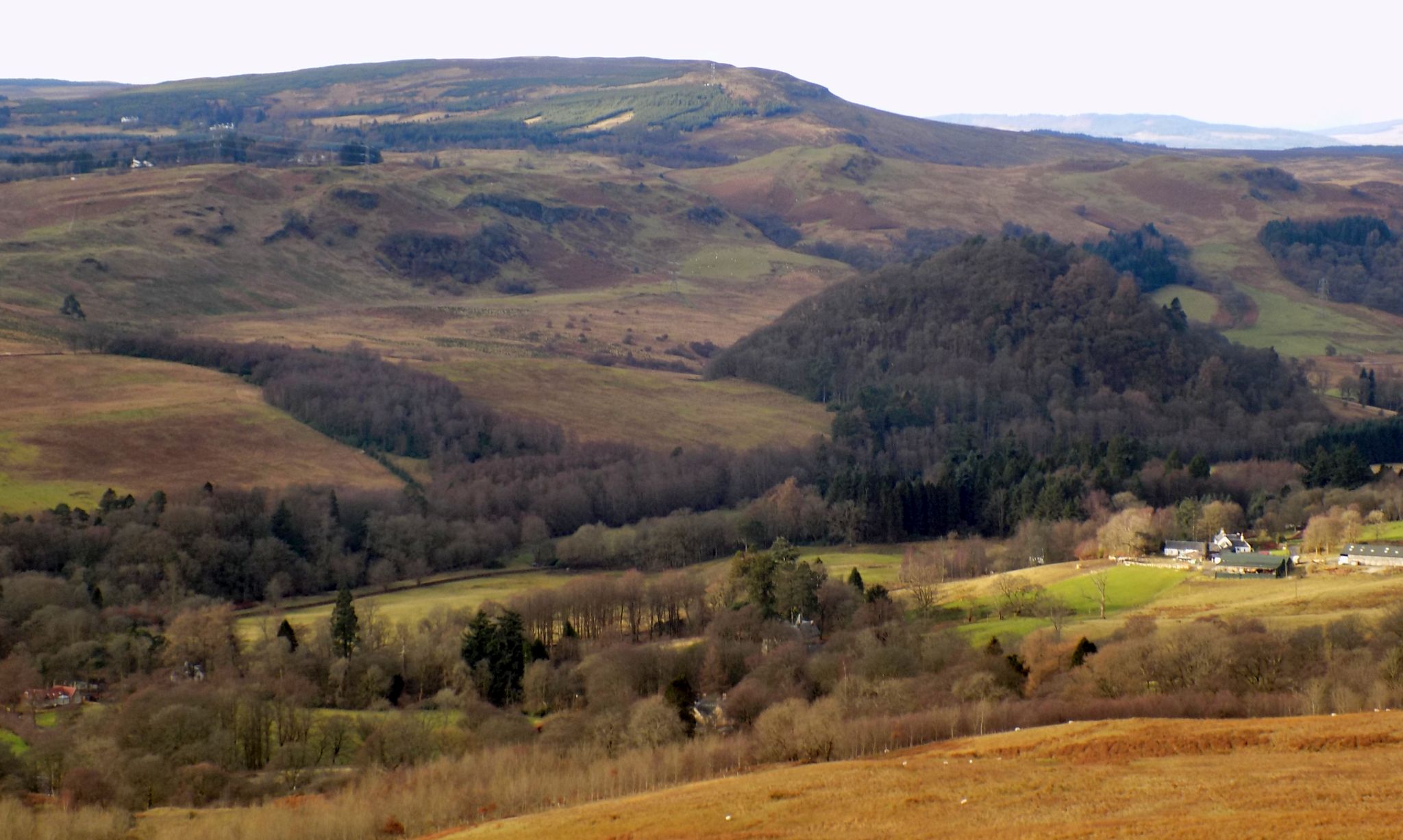
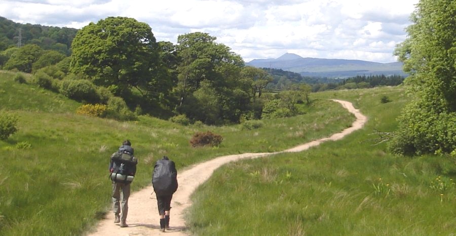 Ben
Lomond on route from Carbeth
to Glengoyne Distillery |
 |
 |
 |
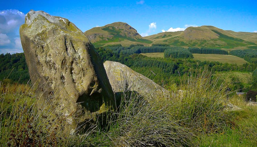 Standing
Stones at Duntreath
The stones lie in a field off the West Highland Way and to the south of Duntreath Castle |
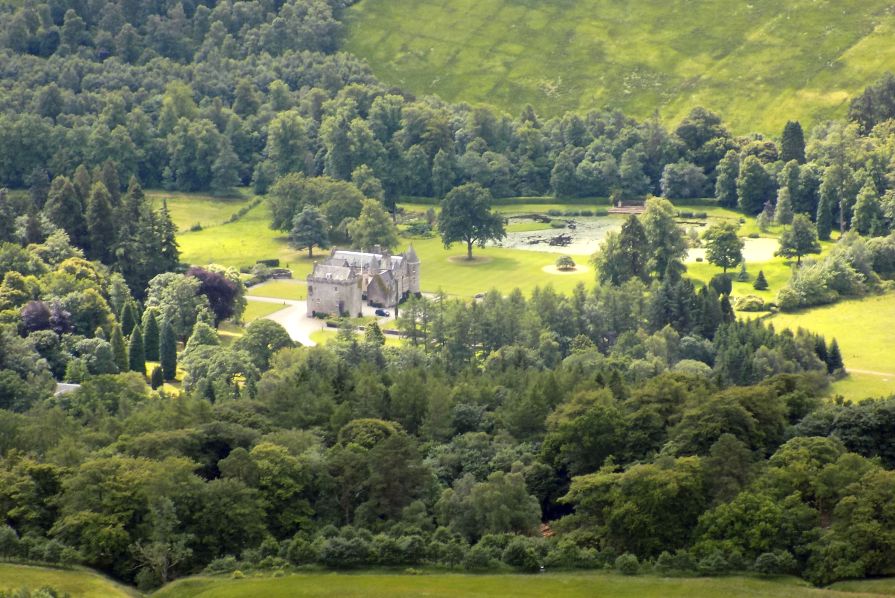
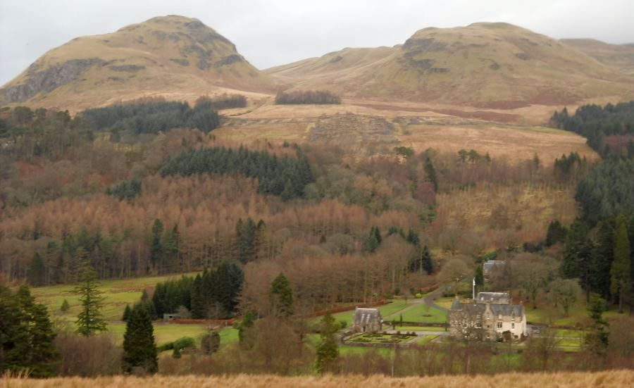 Duntreach Castle beneath Dumgoyne
from the standing stones of Dumgoygach |
|
|
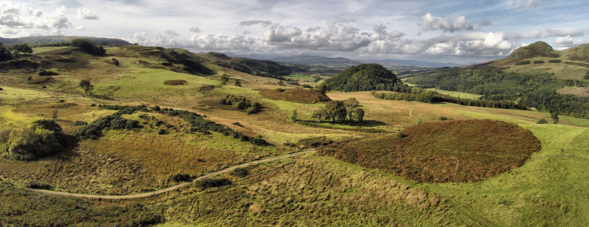
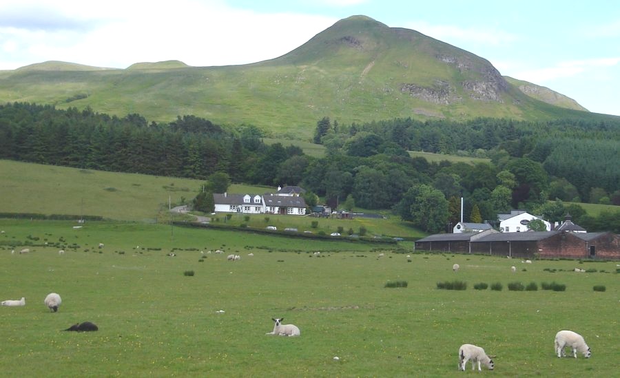
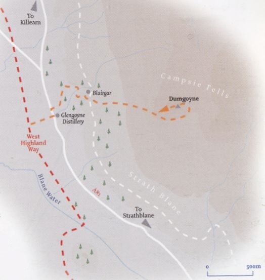
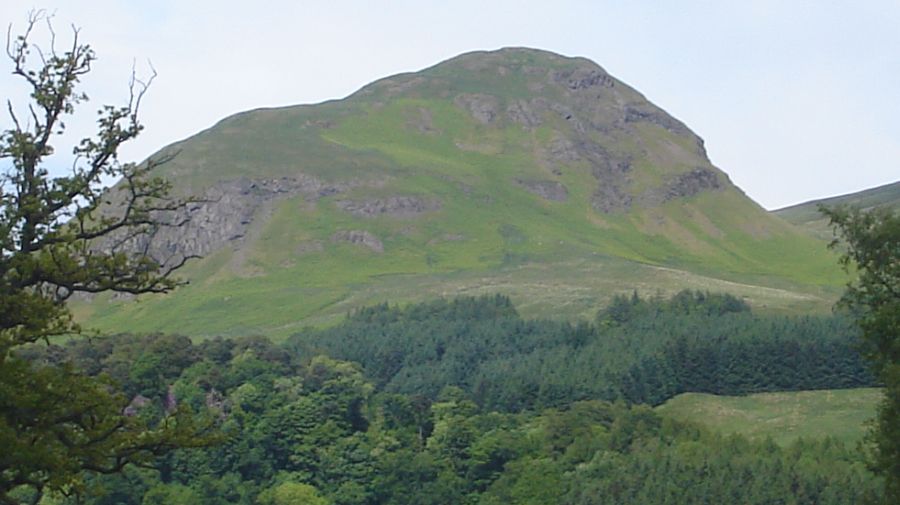 Dumgoyne
- a volcanic plug - 1400ft / 427m
on route from Carbeth to Glengoyne Distillery Ascent of Dumgoyne |
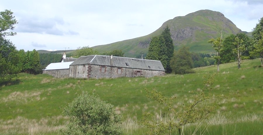 Farm
Steading beneath Dumgoyne
|
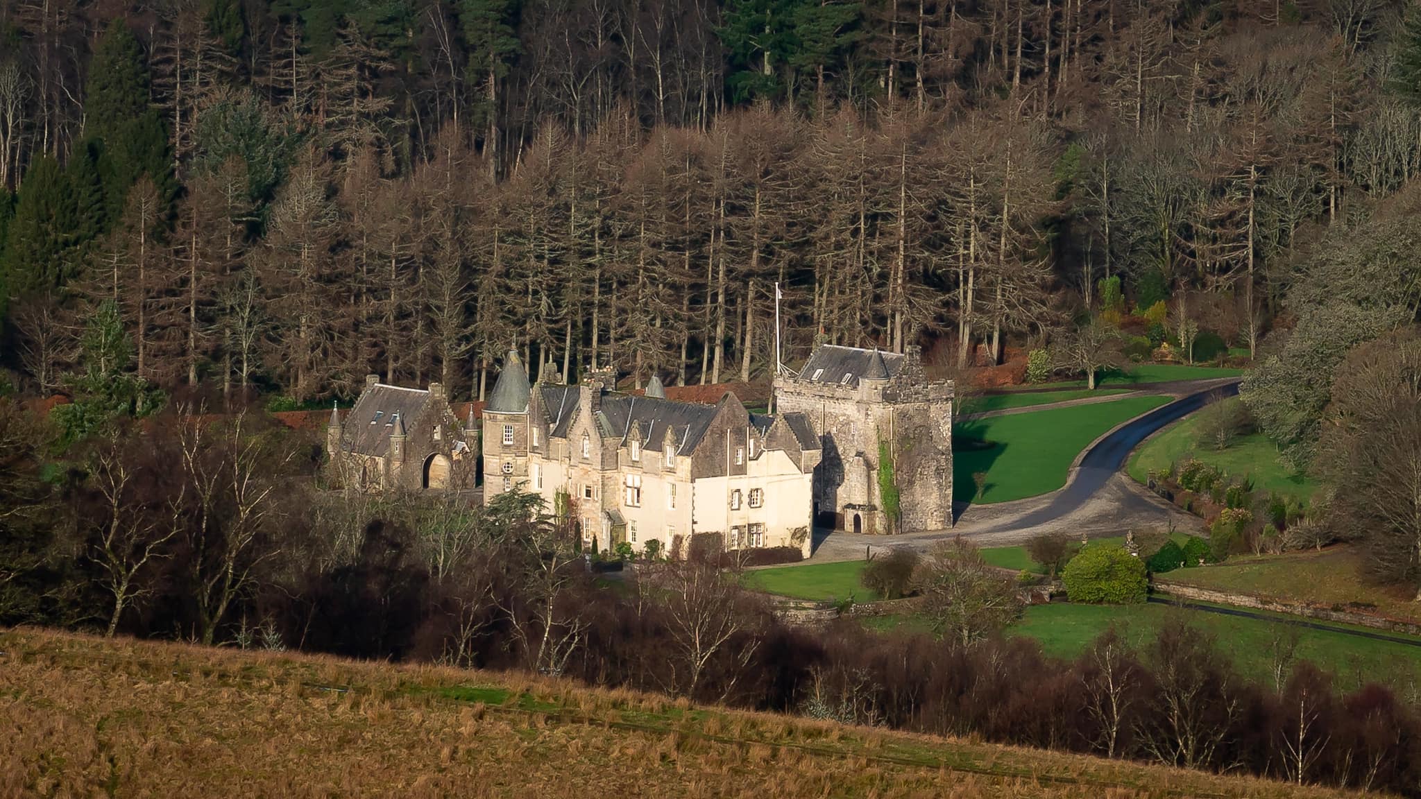
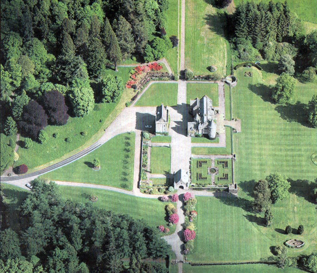
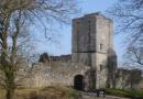
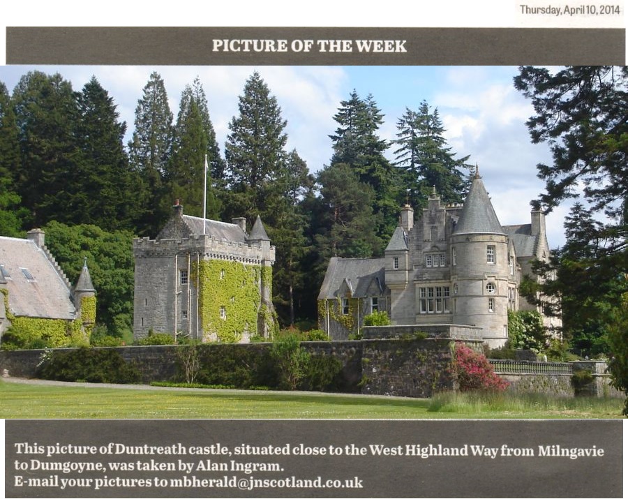 Duntreath
Castle on approach to
Glengoyne Distillery
The Castle is to the east of and close to the West Highland Way |
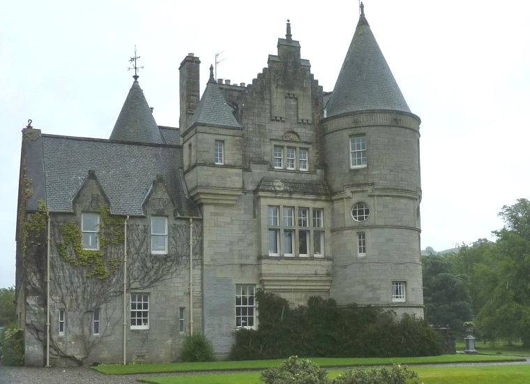 Duntreath
Castle
on approach to Glengoyne Distillery |
 |
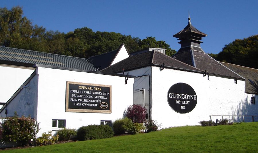
 Glengoyne
Distillery
beneath Dumgoyne |
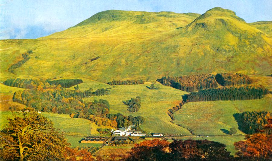
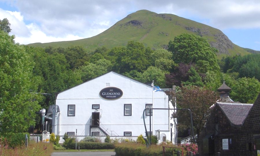 Glengoyne
Distillery beneath
Dumgoyne
|
 |
 Glengoyne
Distillery
beneath Dumgoyne |
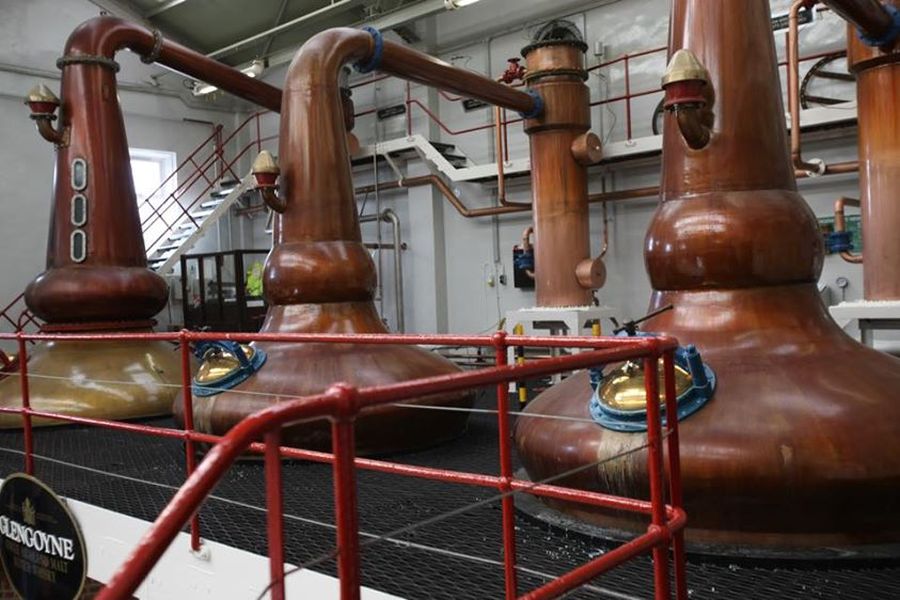 Stills
in Glengoyne Distillery
|
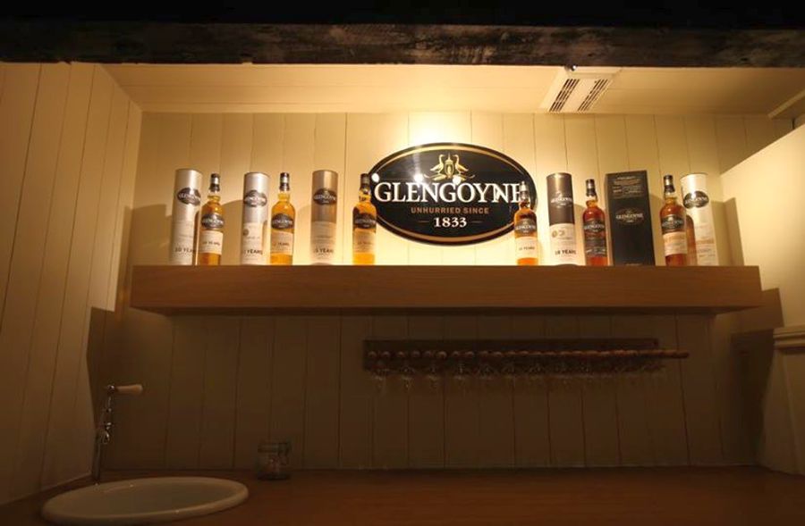 Whisky
at Glengoyne Distillery
|
 |
 |
 |
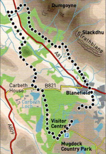 |
WHW - MUGDOCK TO DUMGOYNE - ROUTE DESCRIPTION:
 ::
West
Highland Way
::
West
Highland Way 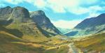 :: Dumgoyne
& Campsie Fells
:: Dumgoyne
& Campsie Fells 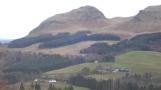
Glencoe | Ben Nevis | Knoydart | Isle of Skye | Isle of Arran
The Eastern Highlands | The Central Highlands | The Southern Highlands | The NW Highlands