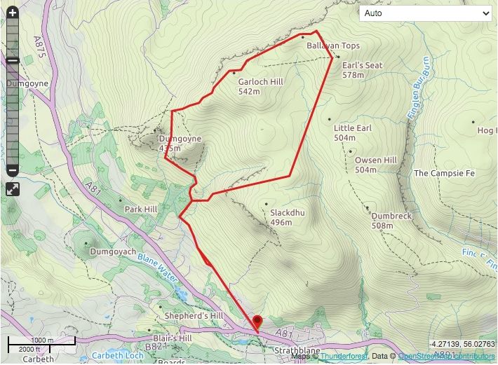
Distance: About 7
miles / 12km
Time: 3-4 hours
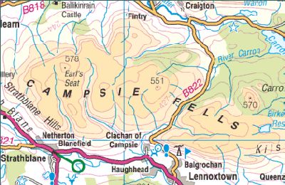
Start/finlsh: The Beech Tree Inn ( GR: NS523836 )
Information: www.lochlomond-trossachs.org
Just
as the Pentlands are the hills of Edinburgh, so the Campsies dominate the skyline to
the north of Glasgow, a range of
bite~sized hills that have offered a form of sanctuary to Glaswegian
hill-goers for generations.
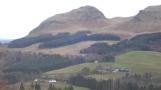
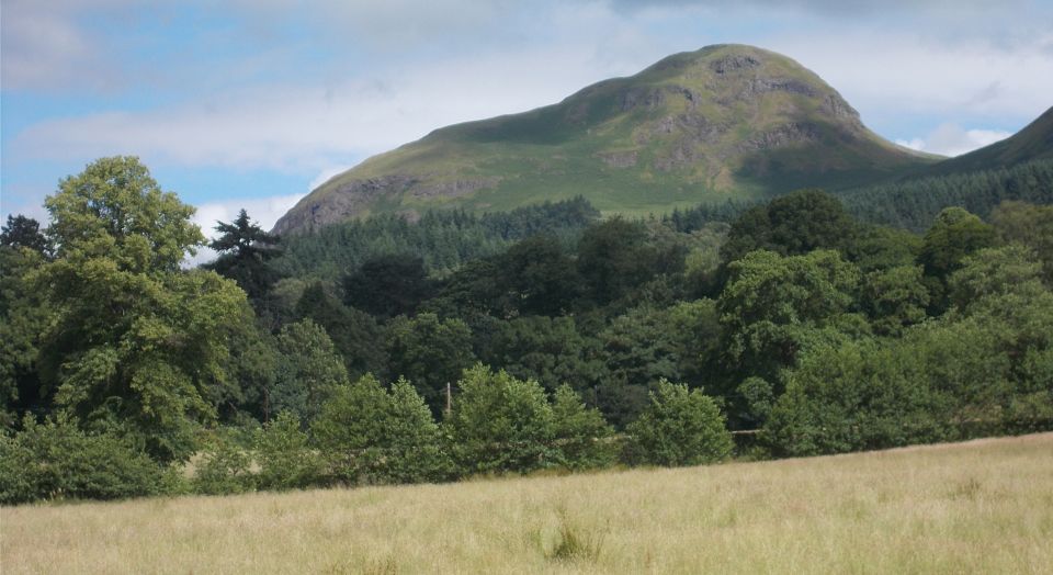
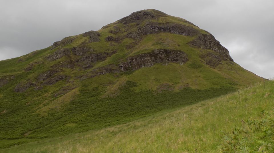
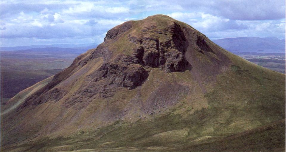
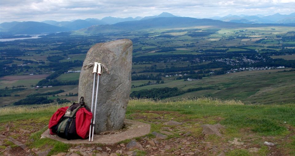
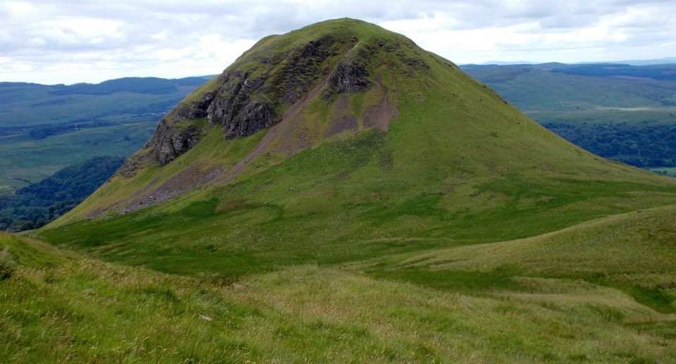
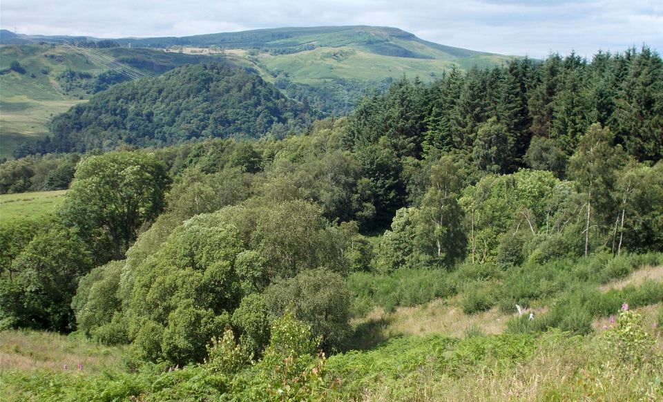
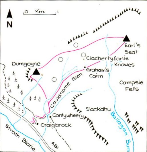
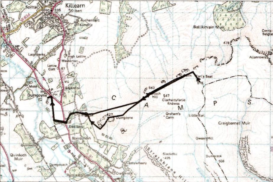
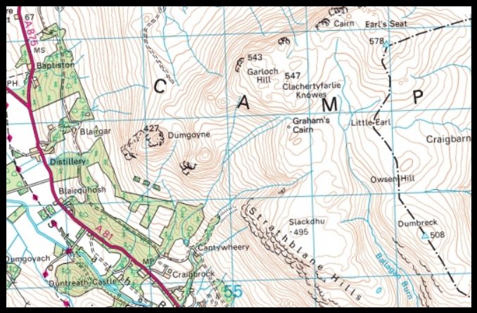
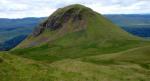
The Campsies are made up of layers of lava flow and Dumgoyne, the fort
of the arrows, the thumb-like addendum that sticks up at the western
end of the fells, is an ancient volcanic plug whose name suggests that
it was once a defensive site. Curiously, neighbouring Dumfoyne could be the “hill fort of the wart”,
which probably best describes its appearance.
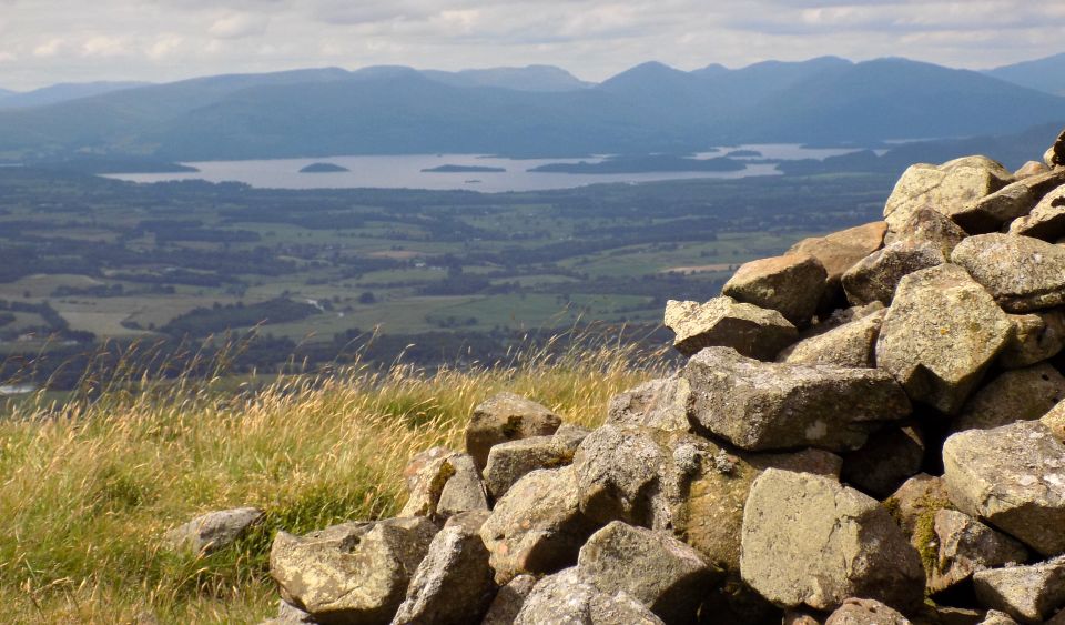
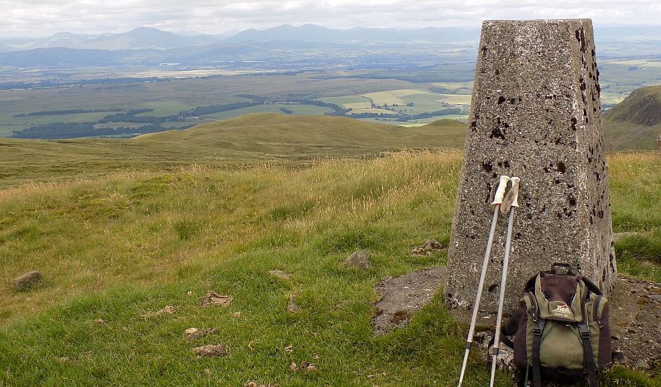
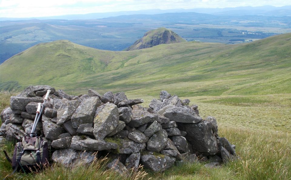
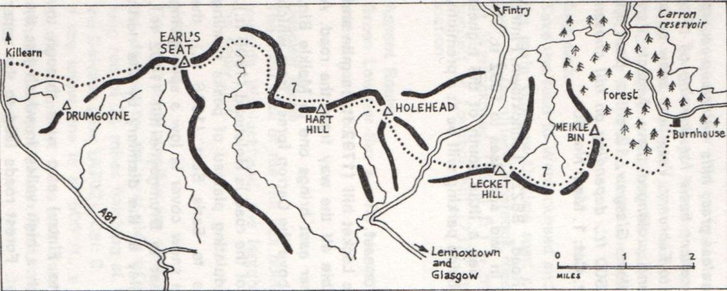
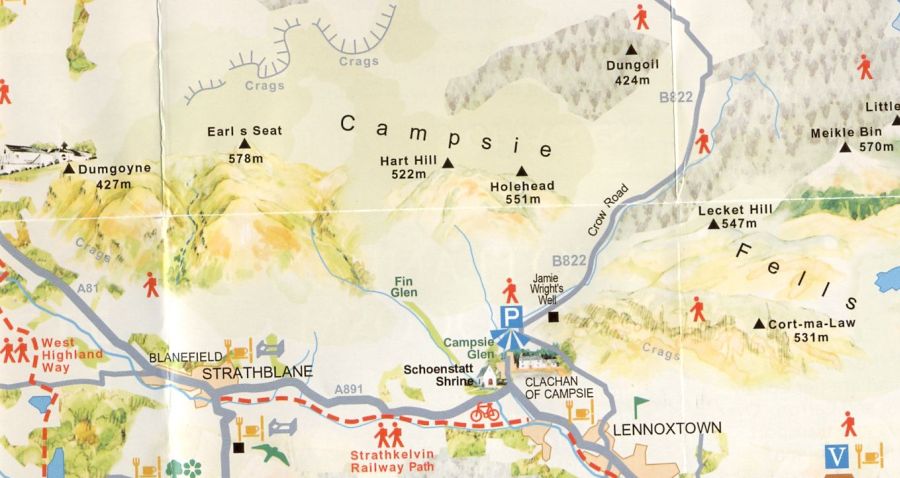
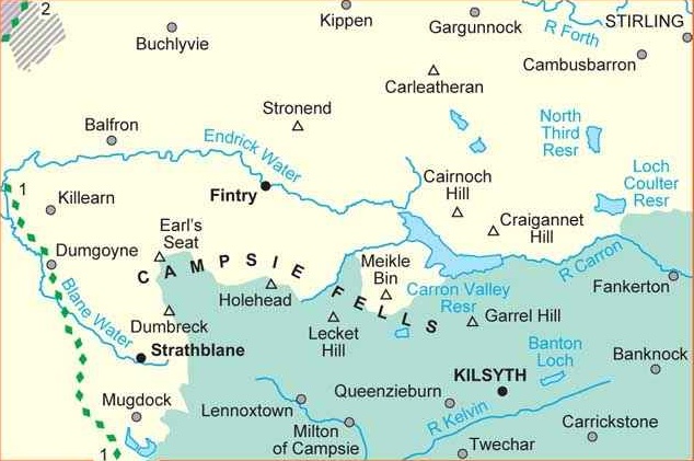
The area's highest point, Earl's Seat (578m), on the Fintry side of the
fells, is probably named after the Earl of Lennox whose lands once
extended on the south side of the Campsies. A good 12km hill tramp
takes in both
these landmarks by a fairly straightforward route with the promise of
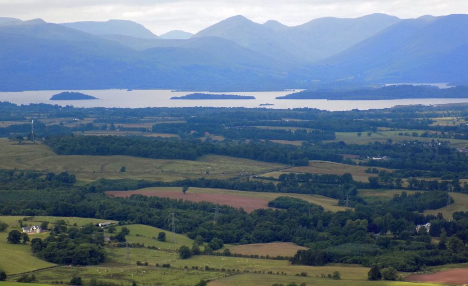
wide-ranging views to the urban skyline in the south and, in complete
contrast, Ben Lomond and the
jumble of hills that mark the beginnings of the Highlands in the north.
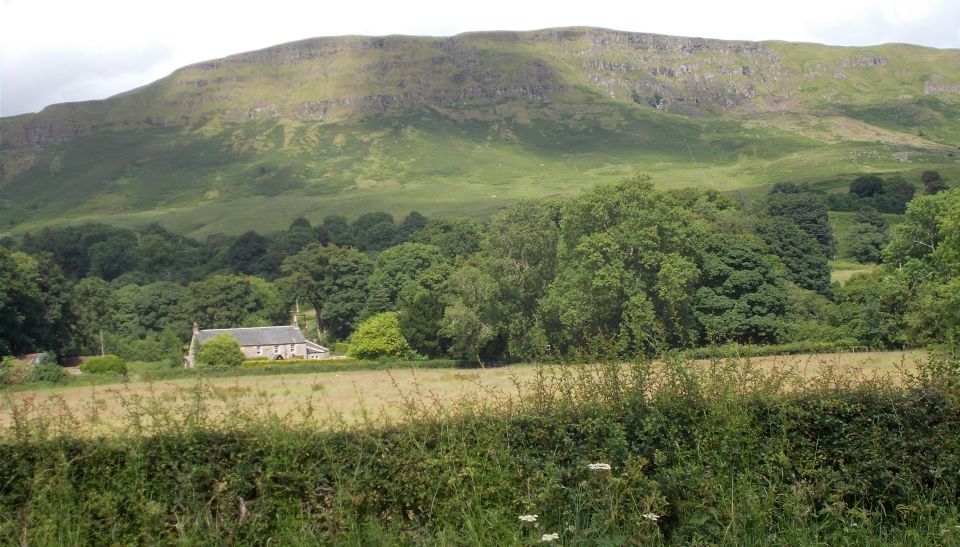
The Beech Tree Inn is on the route of the West Highland Way
from where the route skirts the Glengoyne whisky distillery to cross
the busy A81 road. A narrow road leads steeply uphill before to open
hillside to the south of the house at Blairgar.
It's easy to consider these Campsie
Fells as inferior to the Munros and Corbetts in terms of challenge
but there are some steep climbs hereabouts and this is one of them.
lt’s only about 420 metres of
climbing to the summit of Earl's Seat from Blairgar but the initial
climb, up the hill with the even steeper slopes of Dumgoyne to your
right, is
uncompromising.
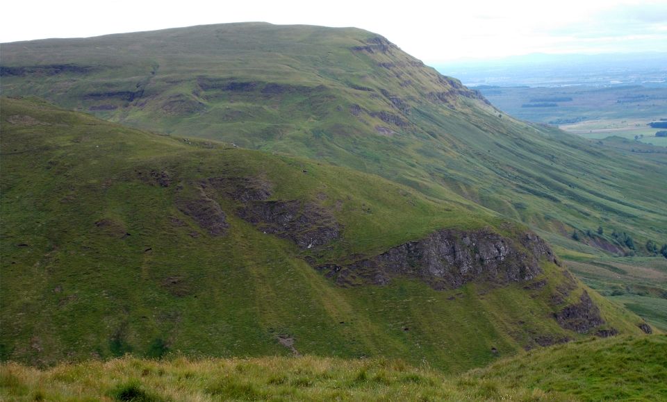
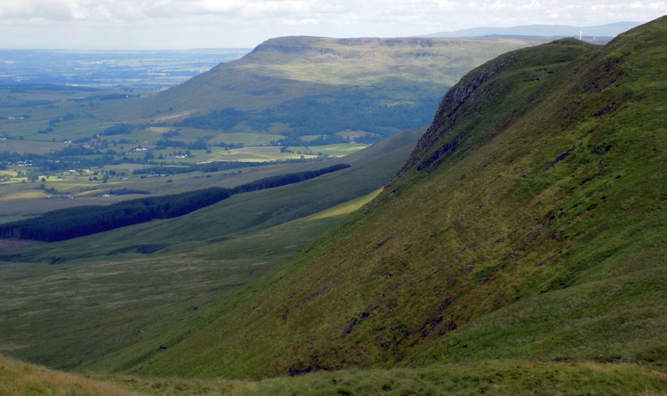
Soon, with the green plug of Dumgoyne now behind, the track begins to
ease off and usually muddier. Amid
the many bumps and hillocks of the wonderfully named Clachertyfarlie
Knowes - in misty conditions it would be easy to become lost or at
least temporarily misplaced.
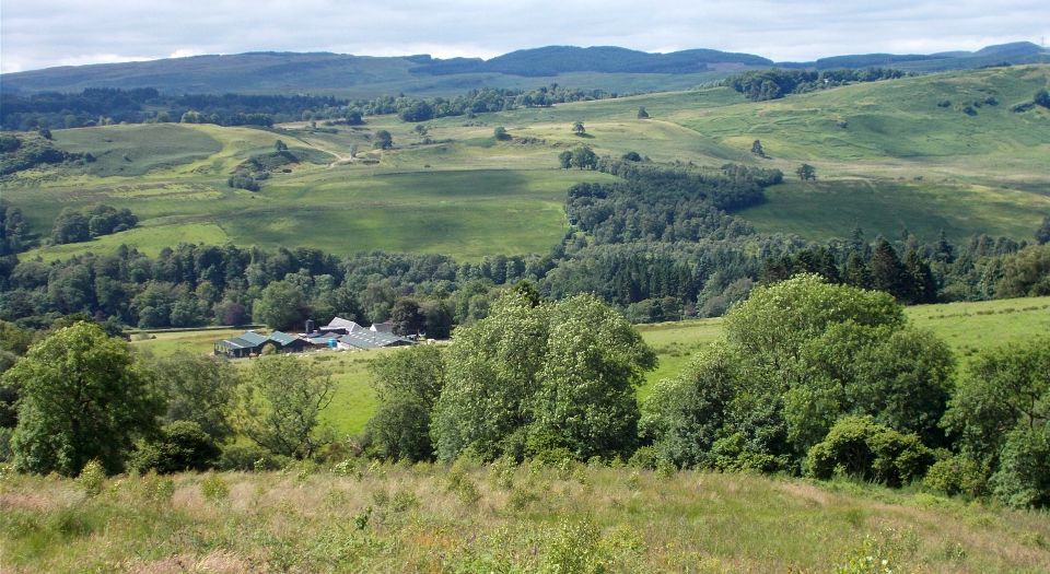
Garloch Hill is the first rounded summit with views over the
Ballikinrain Muir towards Balfron
and the north. From here it is simply a case of following the edge to a
prominent cairn then a wee divergence to the south-east up easy slopes
to Earl’s Seat.
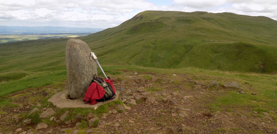
Return
by the way of ascent with another divergence to climb the very
steep north slopes of Dumgoyne. From there a good path descends to the
south and then west to get back to the outward route above
Blairgar.
Route:
Leave the car park ( it's correct to ask permission to leave your car
at the Beech Tree Inn car park and better to buy tea or coffee, or
maybe a
bacon roll, in the inn at the beginning of your walk or at the end when
you'll most likely appreciate it ) and follow the WHW S to a turn-oit
to the ielt that will take you past the Glengoyne distillery buildings.
Cross the busy A81 road and follow the winding access road to Blairgar.
Go through a gate into fields and follow the forest edge to the open
hillside opposite Dumgoyne.
Climb steeply ENE until the slope eases off just before Garloch Hill.
Follow the cliff edge for about a kilometre to a prominent caim before
turning uphill (SE) to reach the summit trig point of Earl's Seat.
Now descend the way you came with a divergence to climb Dumgoyne by its
steep NE slopes.
From the summit follow the footpath S then W to the forest edge above
Blairgar.
Return to the start by your outward route.


 :: Dumgoyne
& Campsie Fells
:: Dumgoyne
& Campsie Fells