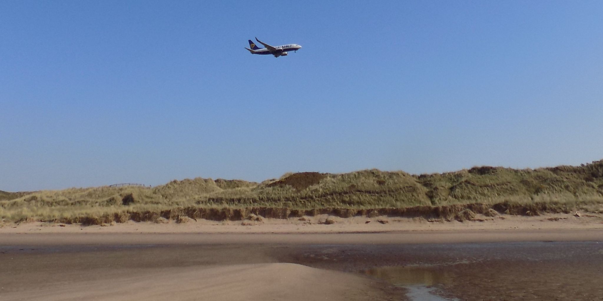
Plane
landing at Prestwick Airport
above sand dunes and beach
on
the
Ayrshire Coastal Path
|
|
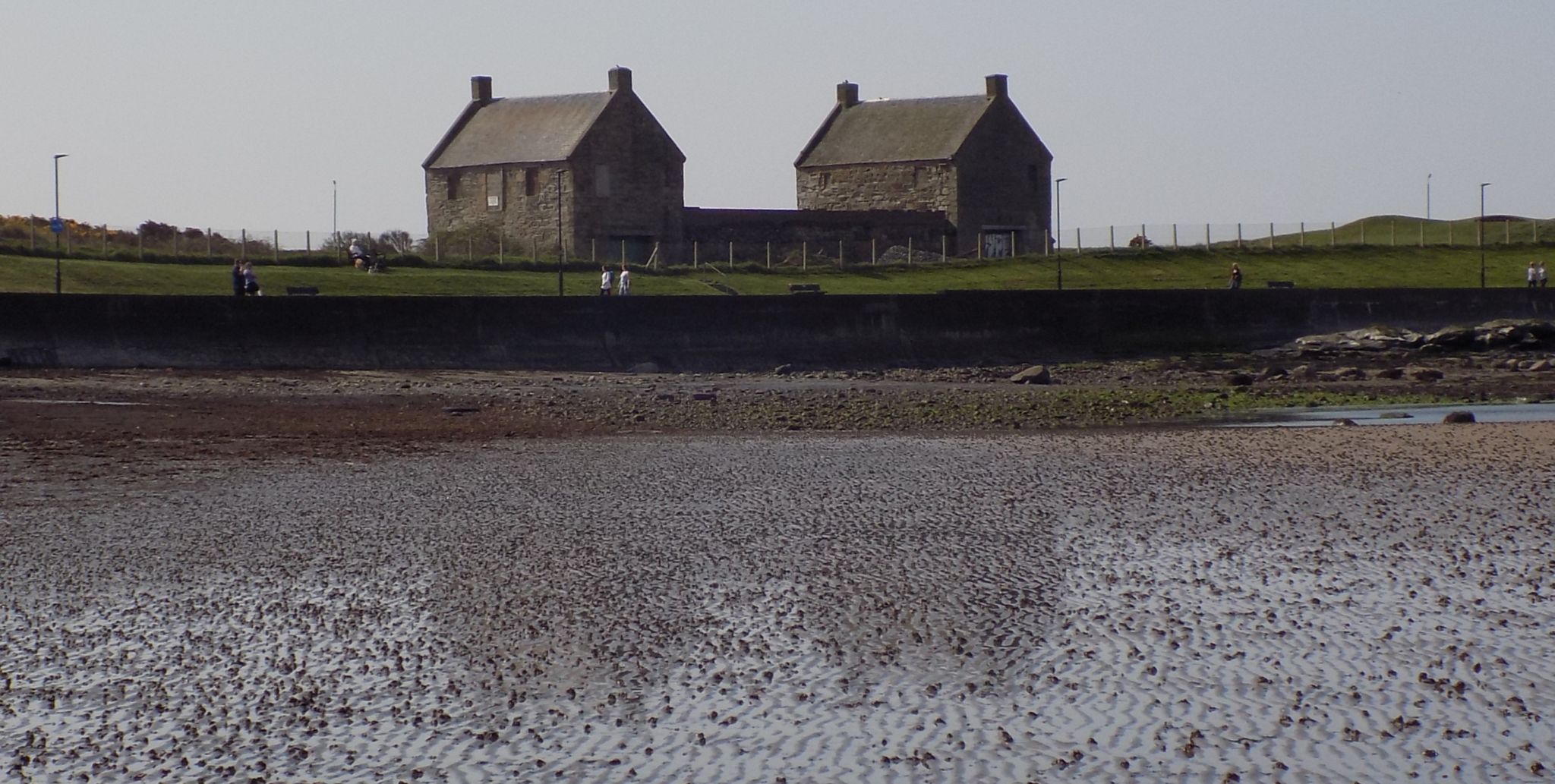
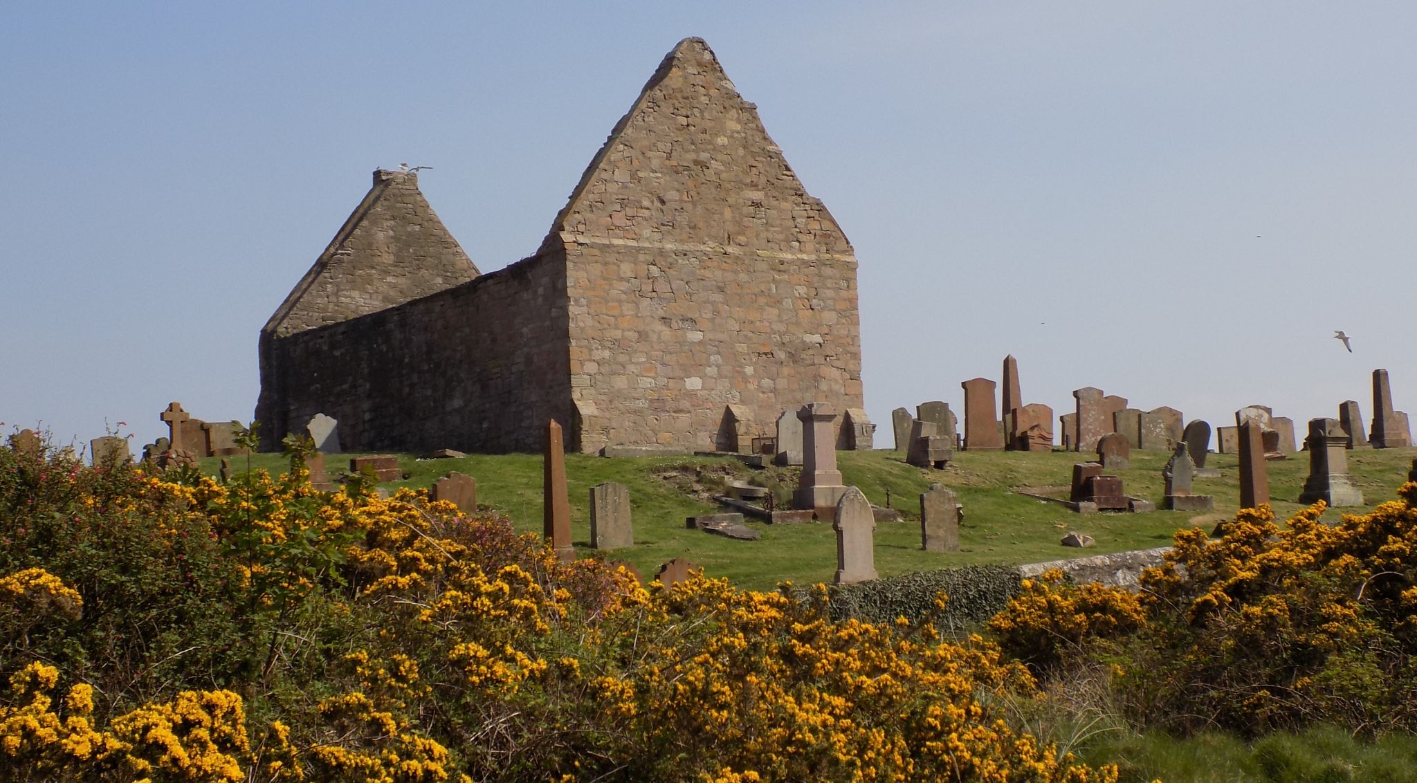
Salt
Pan Houses
on the
Ayrshire Coastal Path
The houses date back
to 1760.
The
salters lived on the first floor
and the vaults on the ground floor
housed the salt pans.
|
|
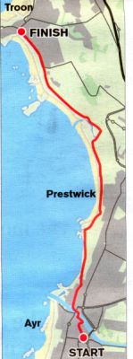
Map of
Walking Route
from Troon to Ayr
along the Ayrshire
Coast
|
|
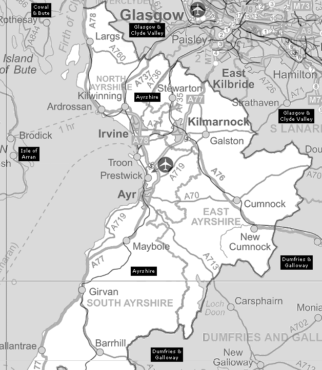
Map of
Ayrshire Coast
|
|
Walking Route from
Troon via Prestwick to Ayr
Location: Ayrshire Map: OS Landranger 70
Distance: 8 miles (13km)
Time: 3-4 hours
Terrain: Coastal paths; flat
While this is inarguably a walk that
requires a measure of benevolence
on the part of the weather before you
pull your boots on and stride out, it’s
guaranteed to blow away any cobwebs
which might be the result of a late
one tonight.
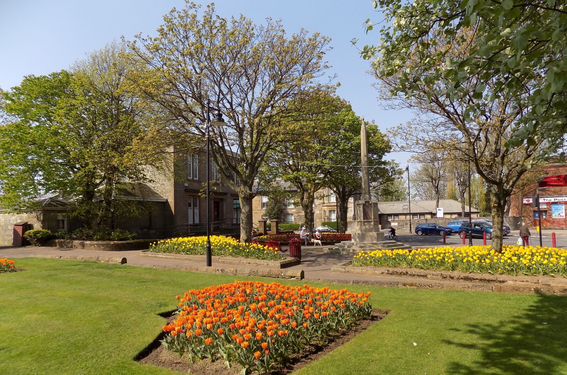
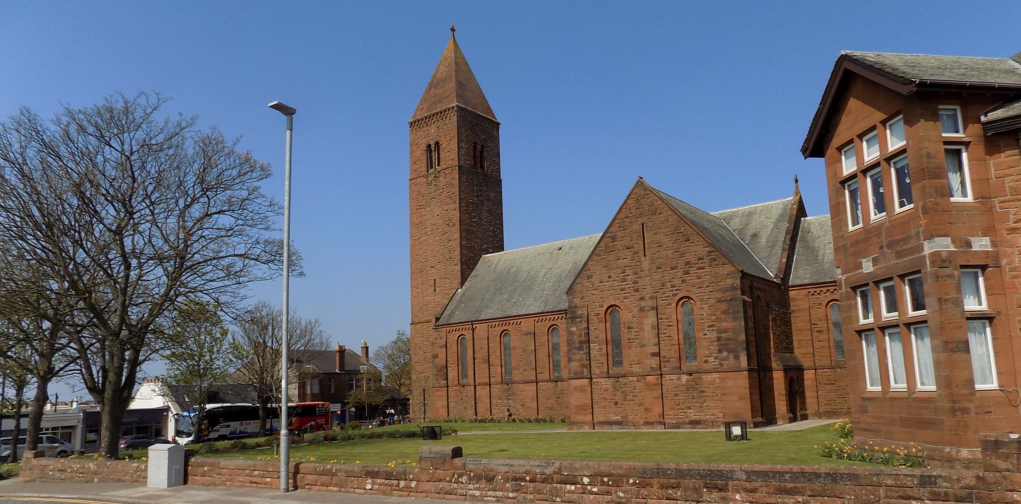
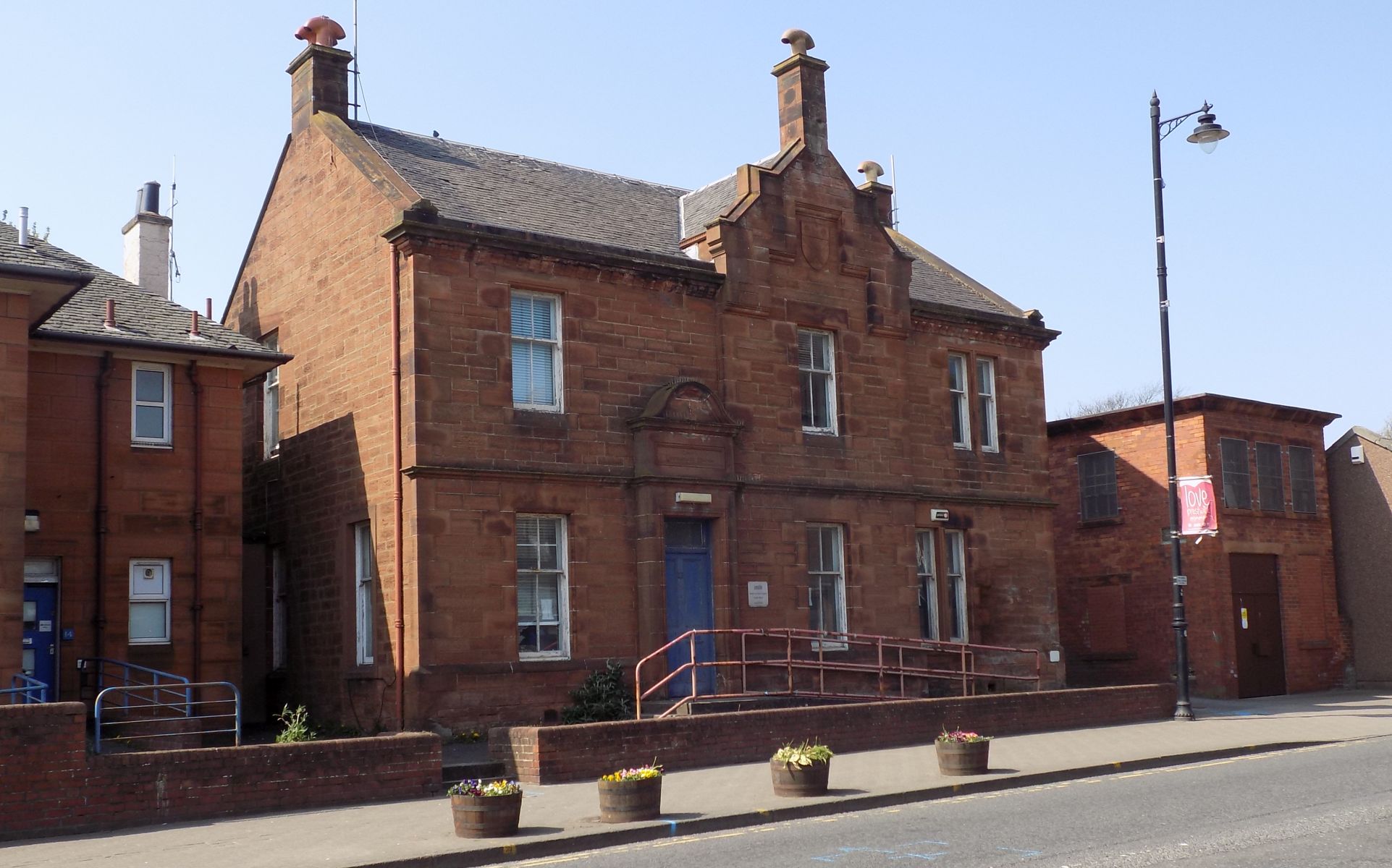
It’s a fine walk that starts by
weaving out of Ayr, a historic town full
of resonances of Robert Burns among
others. Indeed the walk starts in the
square that holds the Bard’s statue,
continuing past the pub named for
perhaps his most famous poem, Tam
0' Shanter. The focus then switches to
William Wallace, after whom an old
tower is named [ though there is no
direct connection ) before the River
Ayr is crossed and a route through the
busy dock area leads out of the town
to its neighbour, Newton -on-Ayr. Here,
with possibly some relief, you reach a
beachside promenade which leads to one of the many golf courses on the
Ayrshire coast, Prestwick St Nicholas.
At the end of this a little jink takes
you straight on to the long promenade
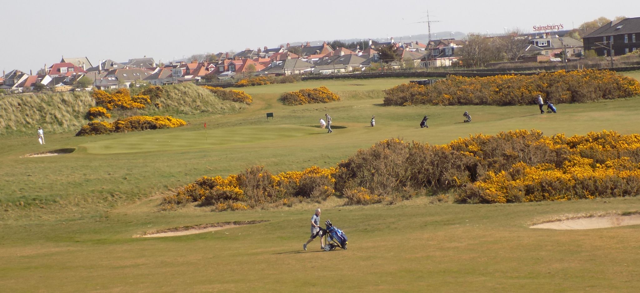
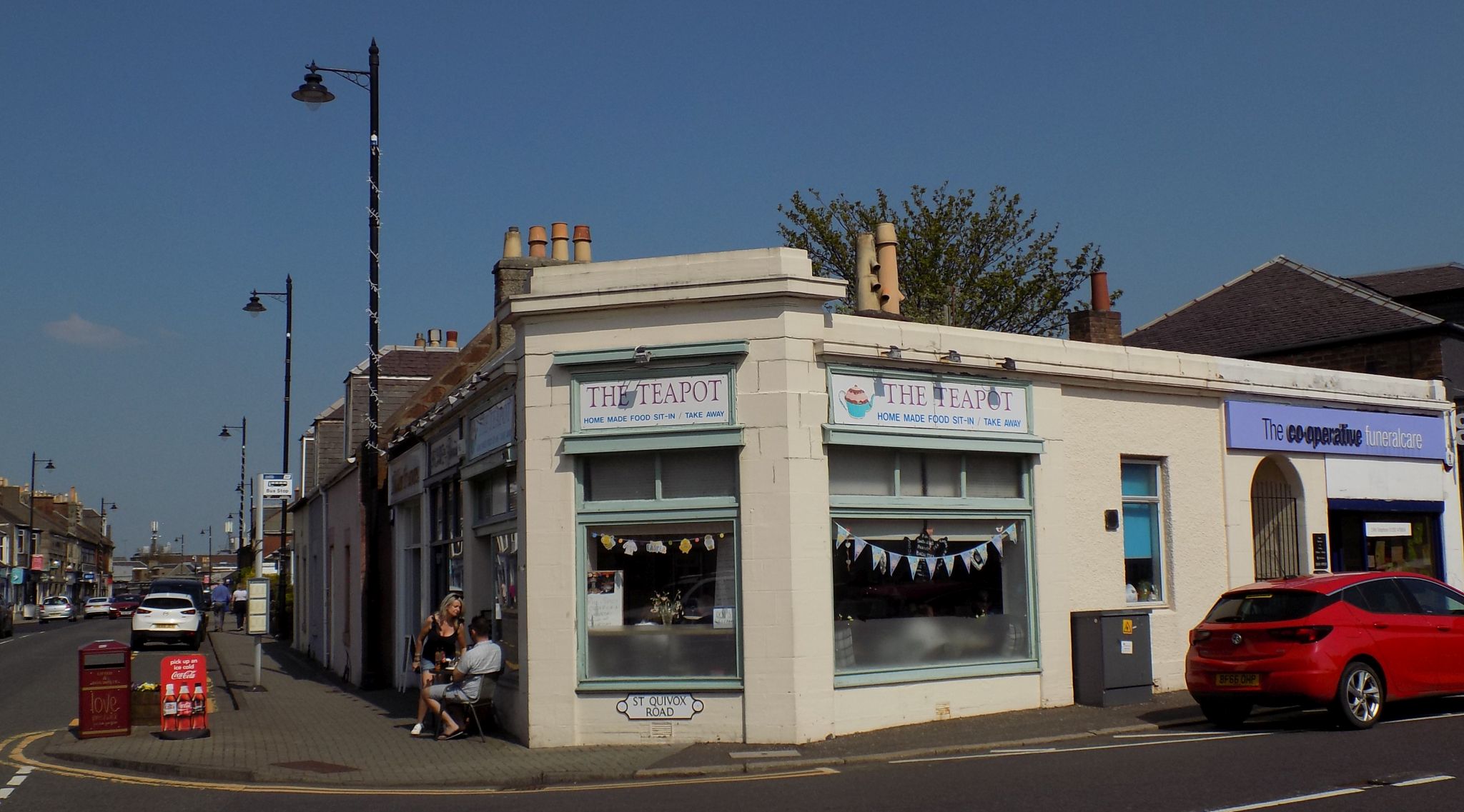
of Prestwick. The town itself is set
a little way back from the sea front,
and in between are more golf courses,
including “old” Prestwick, which
holds the distinction of hosting the first staging of the Open 150 years
ago. lt was a very different sport then
to the one we see on our TV screens
today but the players’ skills were just
as acute.
After Prestwick comes a truly
delightful meander on a little path
at the top of the dunes. You need
‘ to cut inland to cross a substantial
burn and then jink through a caravan
5 park before reaching the edge of
Royal Troon, which hosted the
Open in 2016.
The path veers away from the
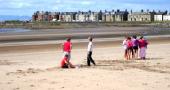
course and lands you on the beach
which provides a fine finale to the
walk, allowing for good progress and
grand seaward views across to the
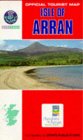
unmistakeable profile of Arran.
Route:
From Elurns Statue Square
TR into Alloway St and then into High
St, past the Tam o‘ Shanter inn.
At the
Wallace Tower TFl to the river and TL
on the riverside path.
Cross the Auld
Brig and TL.
Cross the main road and
take the first right ( Back Peebles St ).
Follow it through across Waggon Ftd
into Glene Ftd.
TL over railway bridge
and sharp L down to the Promenade.
At its end continue on a track beside
St Nicholas Golf Course.
Go R and L
past clubhouse then L on a road to the
promenade at Prestwick.
At its end at
a round building climb the dunes and
follow the path beside the fence.
At a
break in the dunes in about 800m go R
on a path then track to e bridge over the
river.
Follow track into the holiday park
then a path beside the wall and then lelt as signed to reach the beach.
Follow
the beach to Troon.
Ayrshire
Coast
Gallery