|
Firth of ClydeTroon to Ayr
Ferry |
  |
| |
Firth of ClydeTroon to Ayr
Ferry |
|
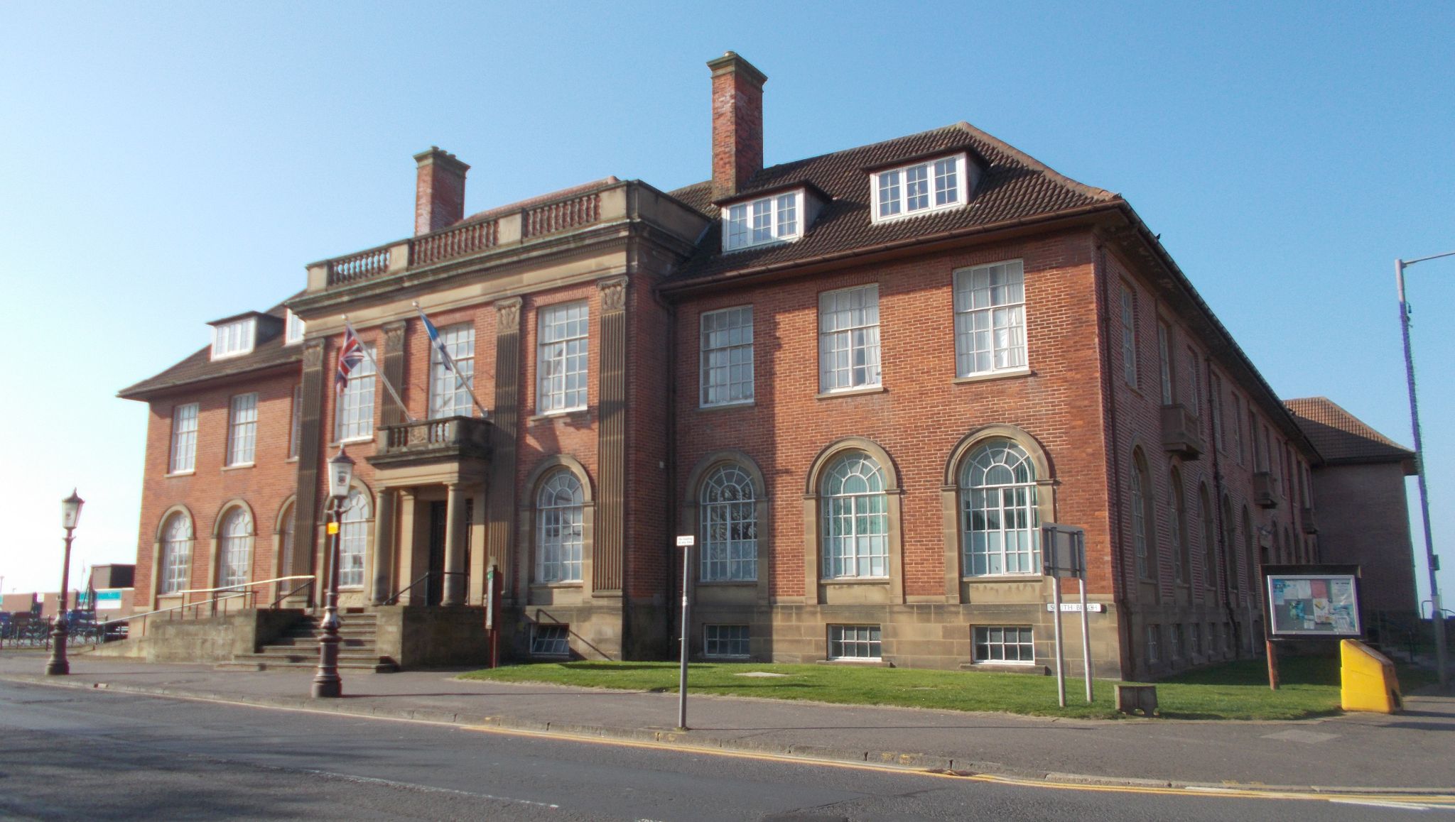
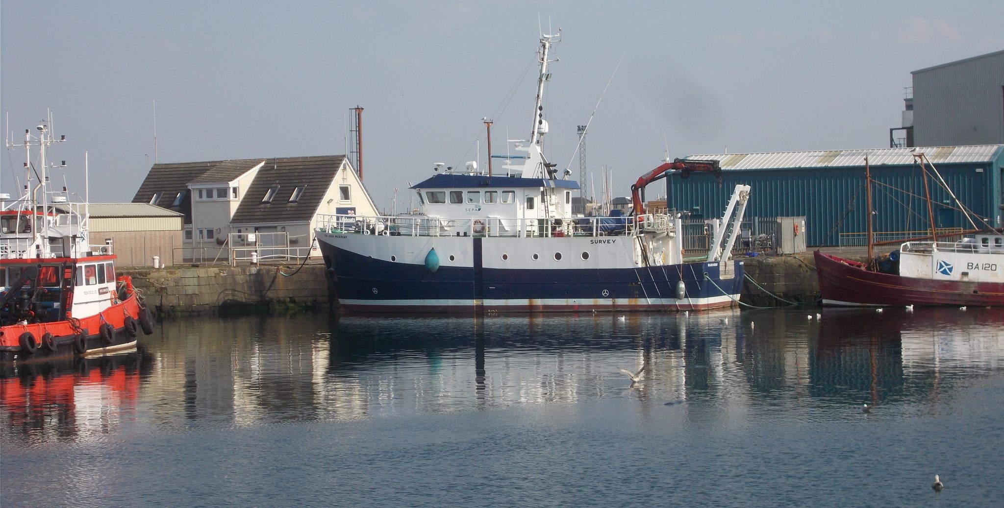 Harbour
at Troon
on the Ayrshire Coast The Harbour at Troon is a fishing port, yachting marina, seasonal passenger ferry port and Ro-Ro ferry terminal for timber and containers. |
|
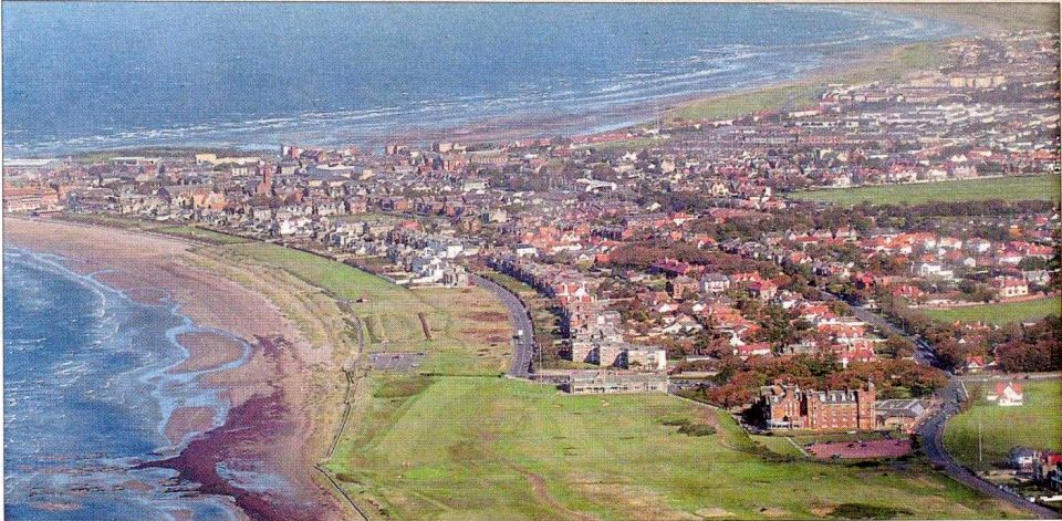
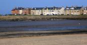
 Seafront
at Troon
on the Ayrshire Coast |
|
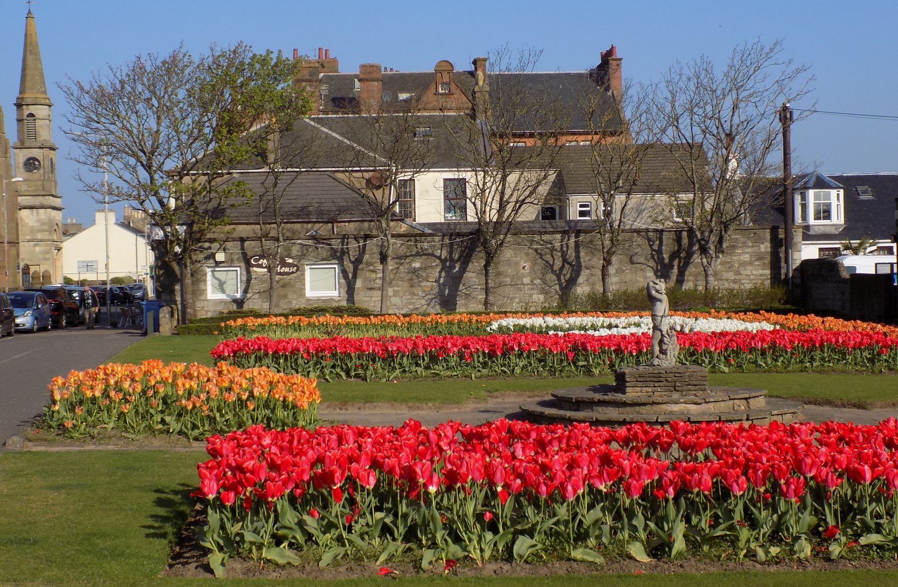
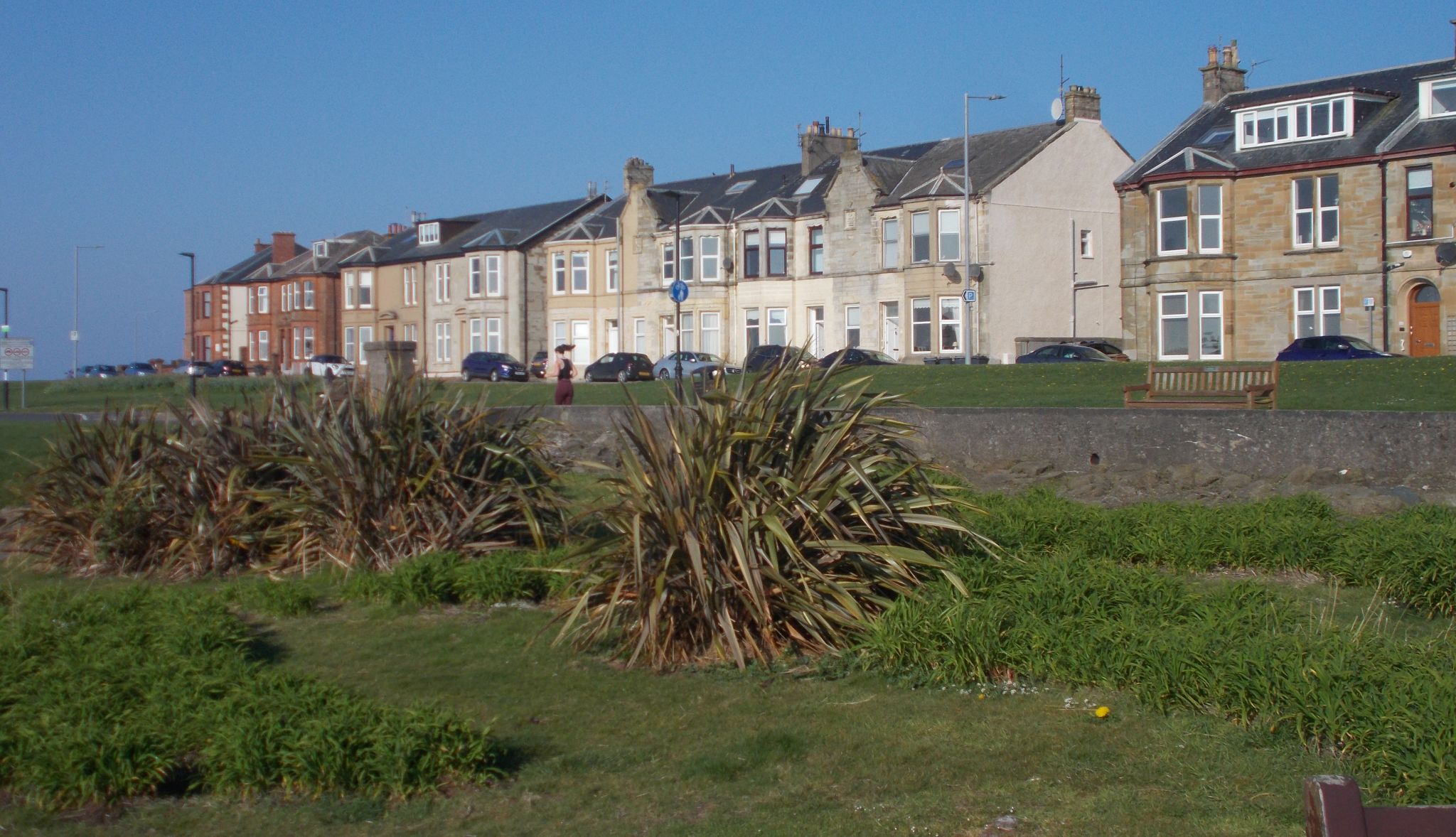 Houses
on seafront at Troon |
|
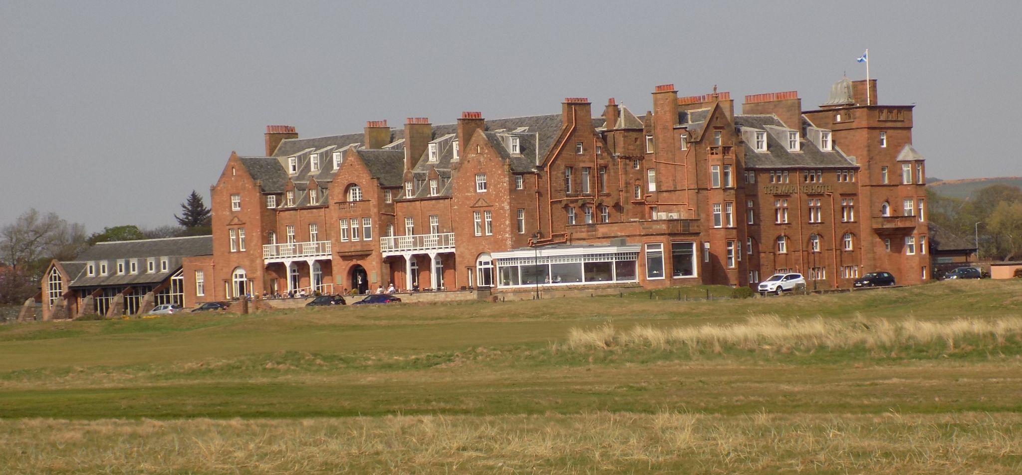 Royal
Troon Golf Club
The club was founded 141 years ago in 1878, initially with five holes - now has a total of 45 holes |
|
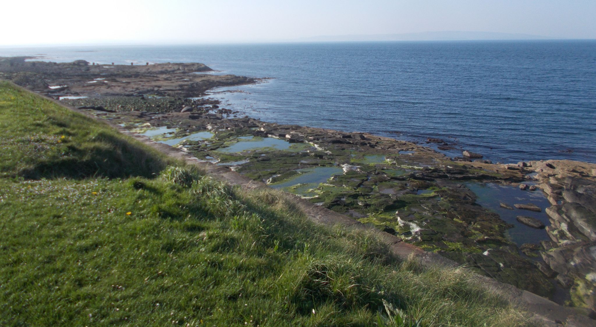
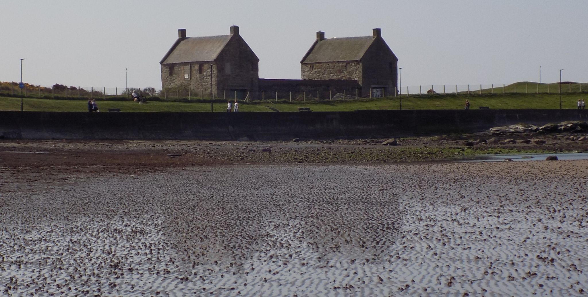 Salt
Pan Houses
on the Ayrshire Coastal Path The houses date back to 1760. The salters lived on the first floor and the vaults on the ground floor housed the salt pans. |
|
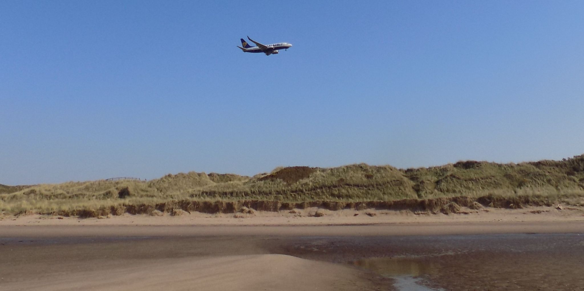 Plane
landing at Prestwick Airport
above sand dunes and beach Glasgow Prestwick Airport serves many European destinations as well as transatlantic and other international cargo flights |
|
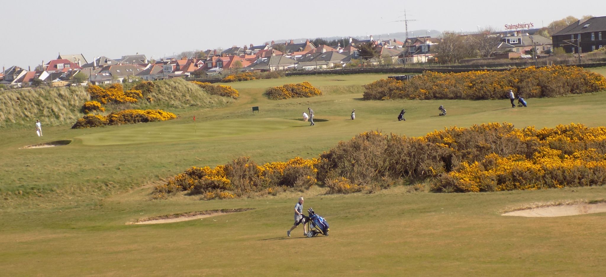 Prestwick St Nicholas Golf Course
|
|
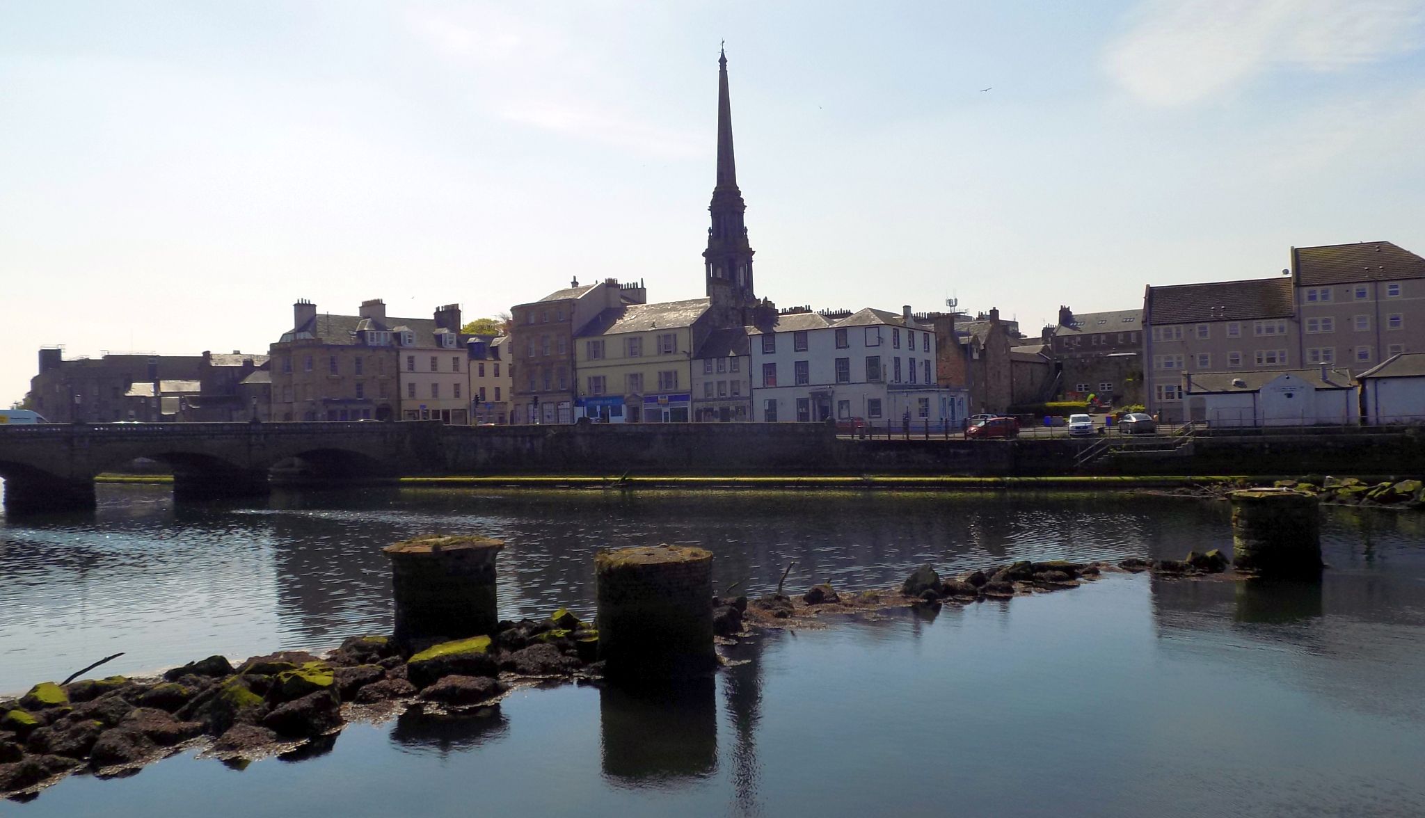
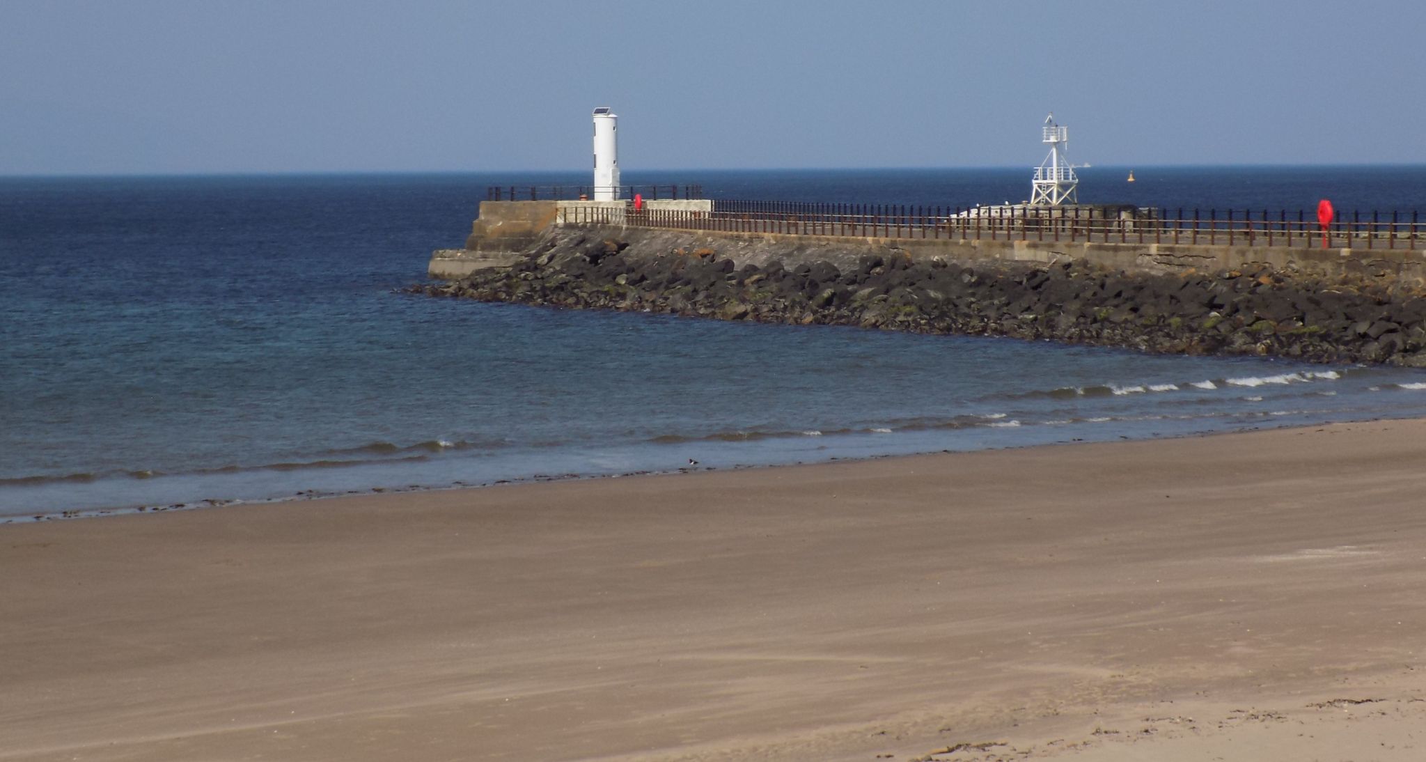 South
Pier
from beach at Ayr |
|
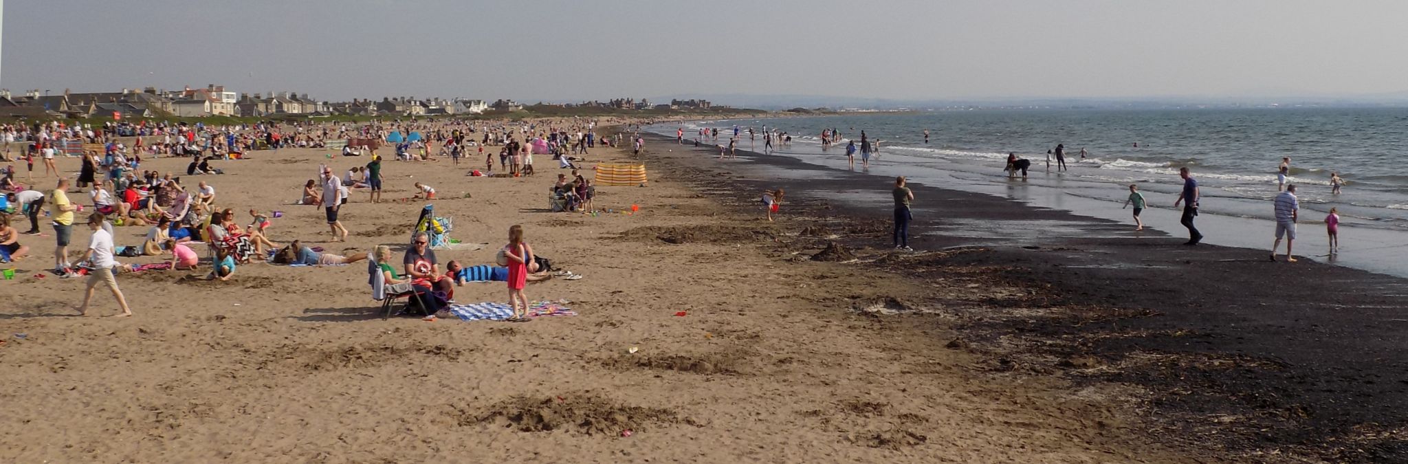
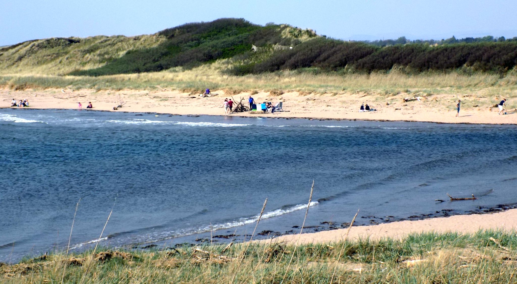
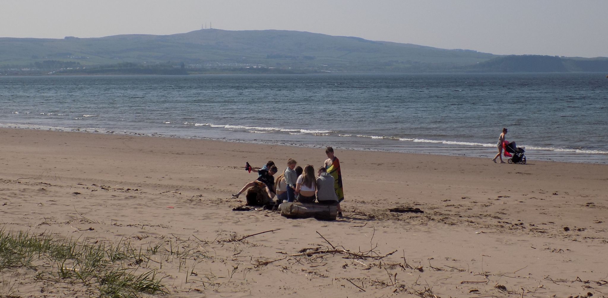 Beach
at Ayr
|
|
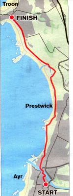
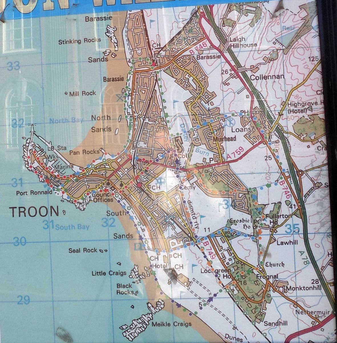 Map of
Troon
|
|
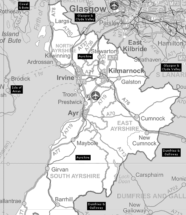
 :: Ayrshire
Coast
Gallery
:: Ayrshire
Coast
Gallery 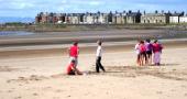
Glencoe | Ben Nevis | Knoydart | Isle of Skye | Isle of Arran | The West Highland Way
The Eastern Highlands | The Central Highlands | The Southern Highlands | The NW Highlands