|
Bearsden & DistrictKirkintilloch Circular |
  |
| |
Bearsden & DistrictKirkintilloch Circular |
|
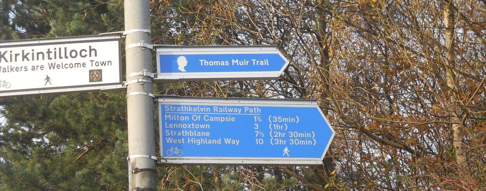 Signpost
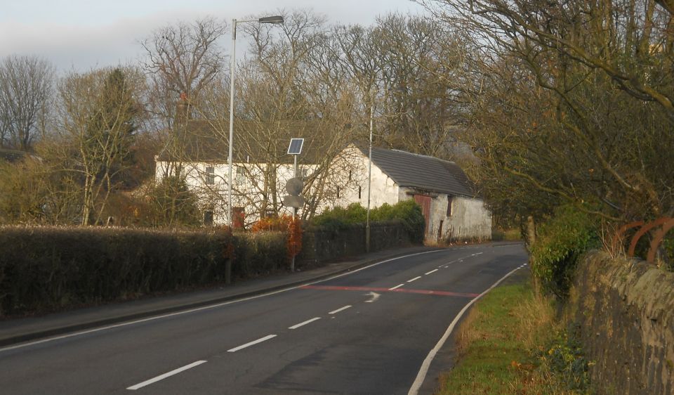
in Kilsyth Road
in Kirkintilloch |
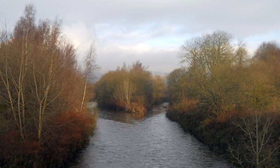
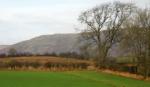
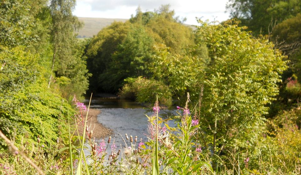 Confluence
of Glazert Water and
the Kelvin River
|
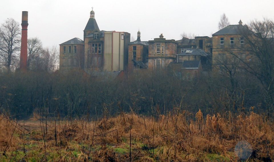 Broomhill
Hospital ( now demolished )
from Strathkelvin Railway Path Originally Broomfield House - a classical villa with extensive grounds |
 Glazert
Water
|
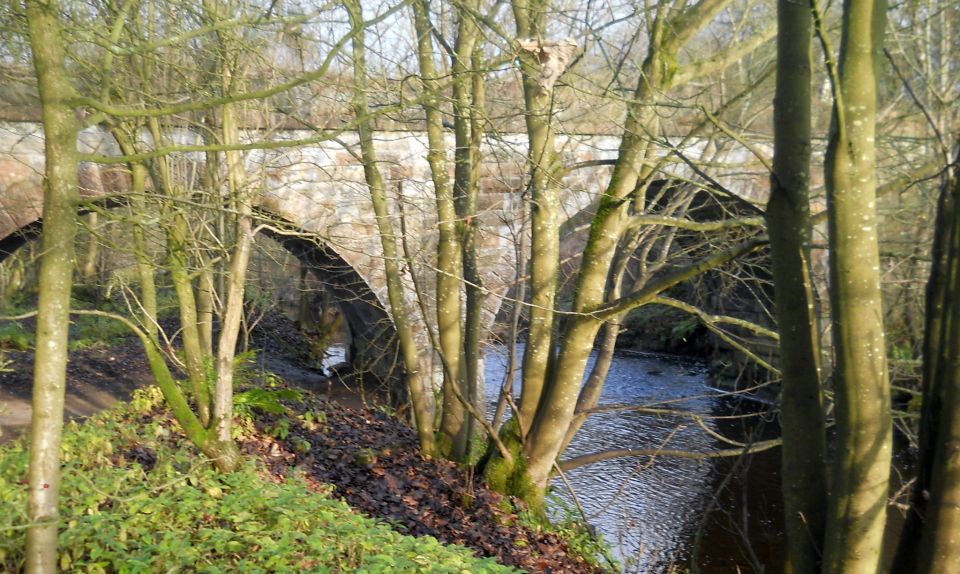 Old
railway bridge over the Glazert Water
The route turns left here to follow the track of the former Kelvin Valley Railway ( the Kelvin Valley Way ) |
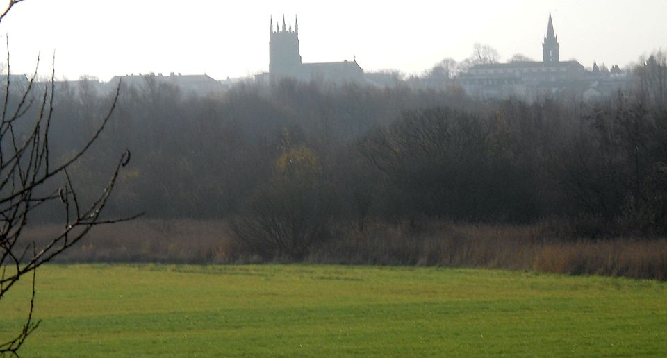 Church
Towers in Kirkintilloch
from the Kelvin Valley Way |
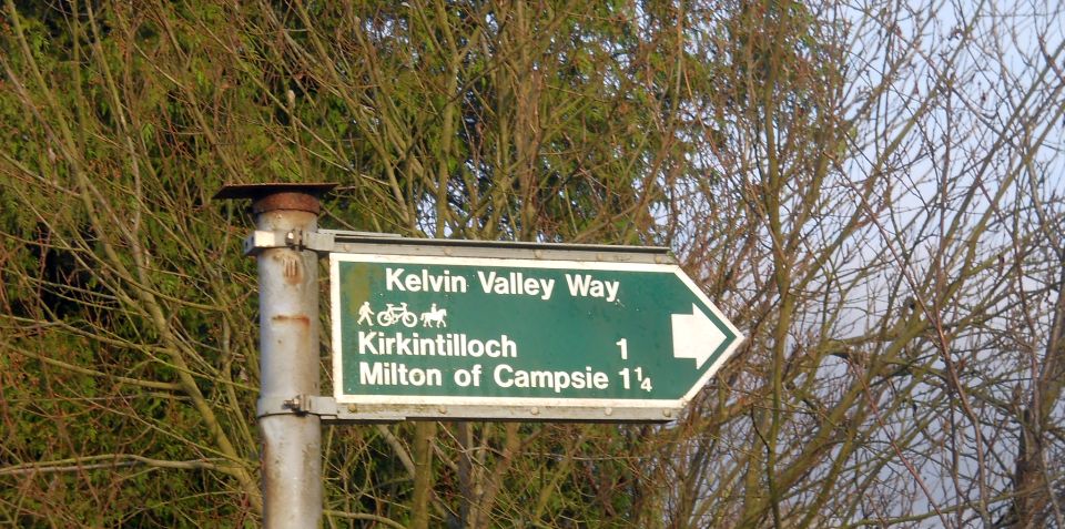 Signpost
for the Kelvin Valley
Way
in Birdston Road |
 Birdston
Road
on the outskirts of Kirkintilloch The Kelvin Valley Way continues across the road |
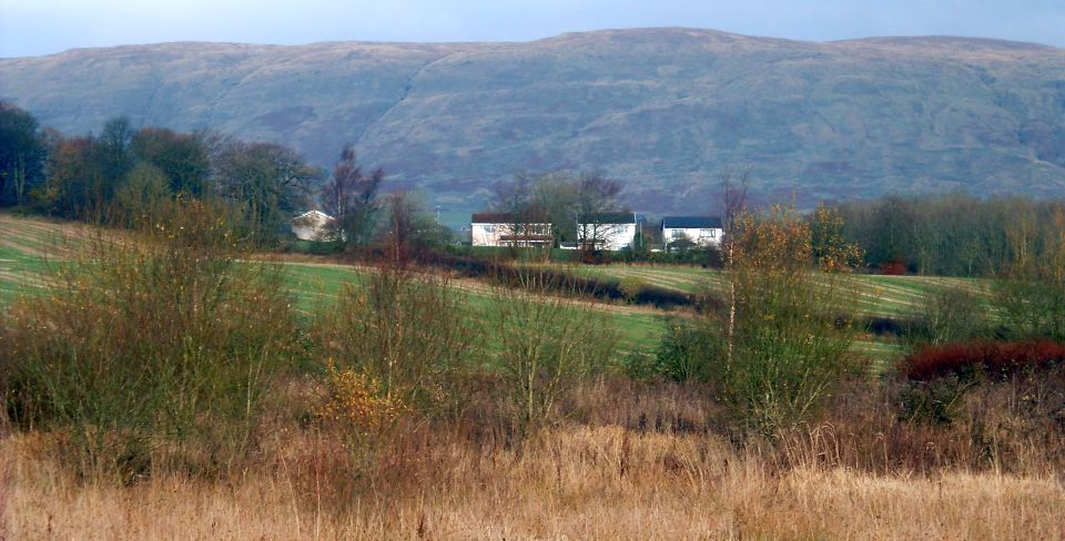 Campsie Fells
from Kelvin Valley Way |
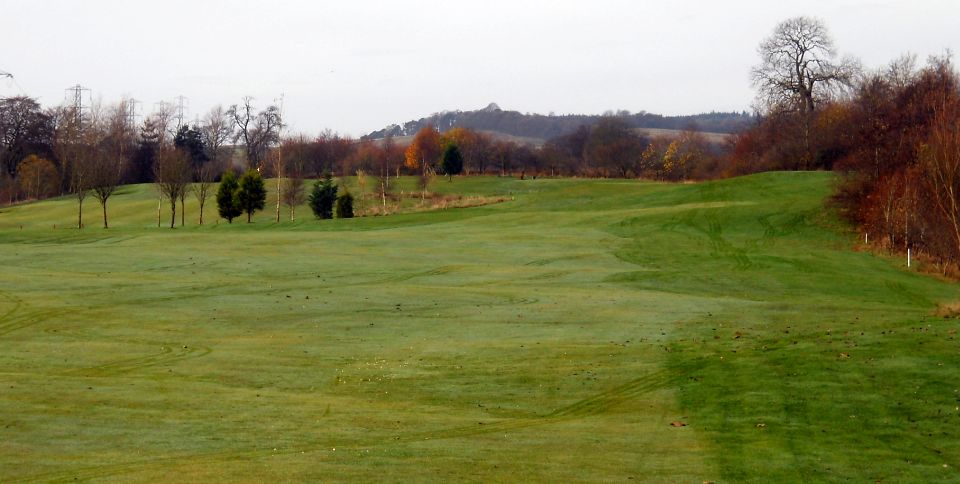 Kirkintilloch
Golf Course
alongside the Kelvin Valley Way |
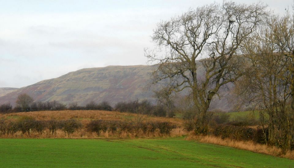 Campsie Fells
from Kelvin Valley Way The route turns left through a gate round the side of the golf course |
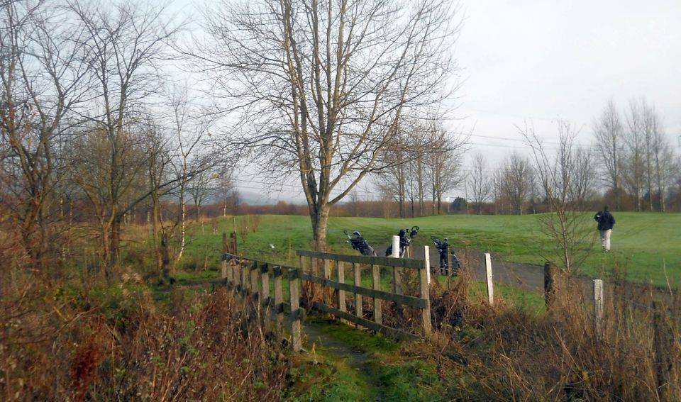 Route turns
right at wooden bridge
at the edge of the golf course |
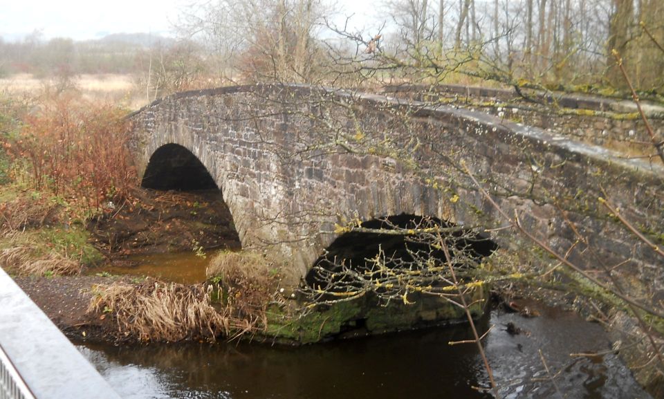
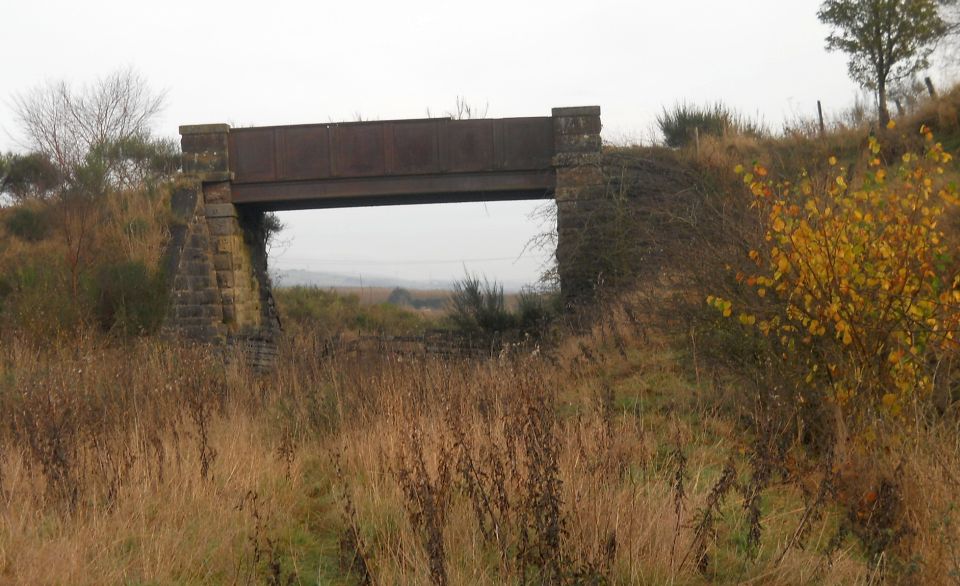 Old
bridge of
Kelvin Valley Railway
|
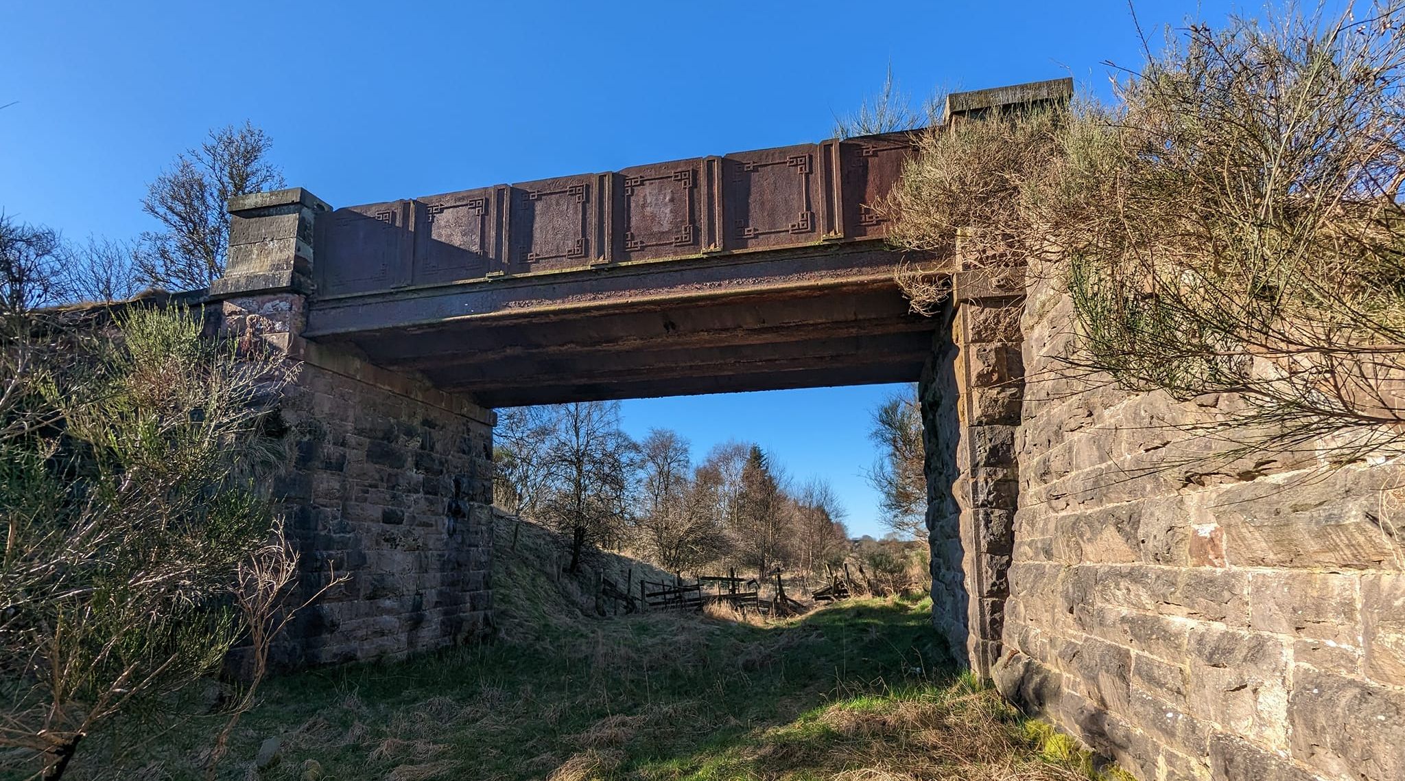 Old
bridge of
Kelvin Valley Railway
|
 Bridge
on Kirkintilloch Road
at end of the Kelvin Valley Way Route turns left onto Kirkintilloch Road and continues to Hayston Golf Course |
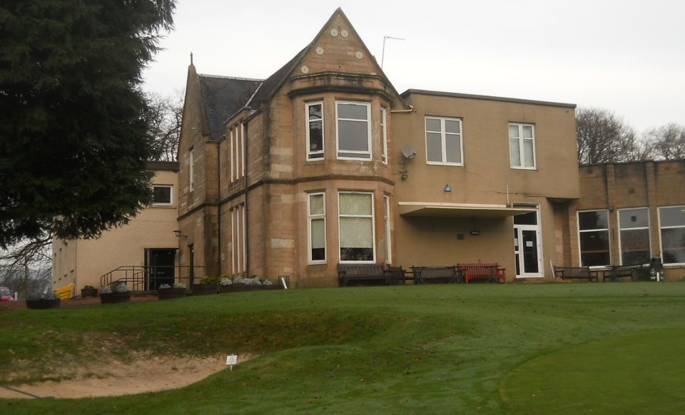 Club
house of Hayston Golf Course
Route continues along narrow path at left hand side of car park |
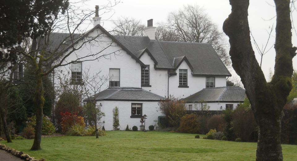 Villa
at Strathkelvin House
|
 Old
stone bridge over the Kelvin
River
at Kirkintilloch |
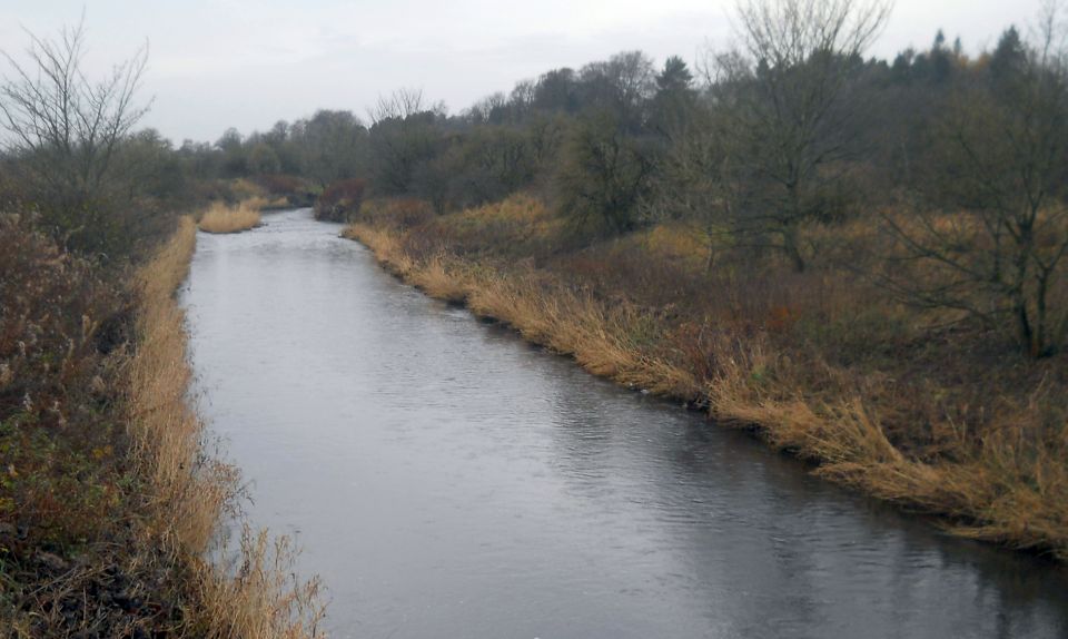 Kelvin
River at Kirkintilloch
|
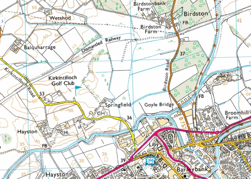 Map of
circular walk at Kirkintilloch
|
Kirkintilloch Circular Walk:
 ::
Railway
Path
Gallery
::
Railway
Path
Gallery 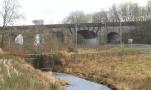 :: Campsie
Fells
:: Campsie
Fells 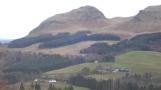
Glencoe | Ben Nevis | Knoydart | Isle of Skye | Isle of Arran
The Eastern Highlands | The Central Highlands | The Southern Highlands | The NW Highlands