|
Bearsden & DistrictKirkintilloch Circular |
  |
| |
Bearsden & DistrictKirkintilloch Circular |
|
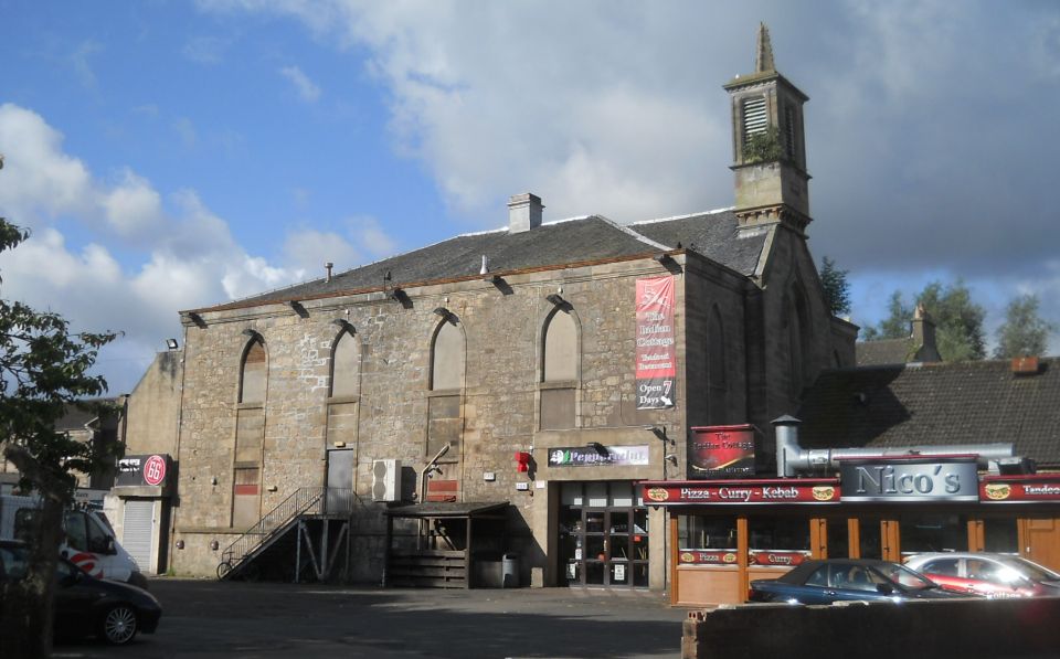 Old
Church in Kirkintilloch
|
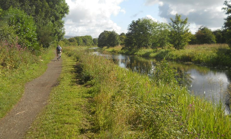
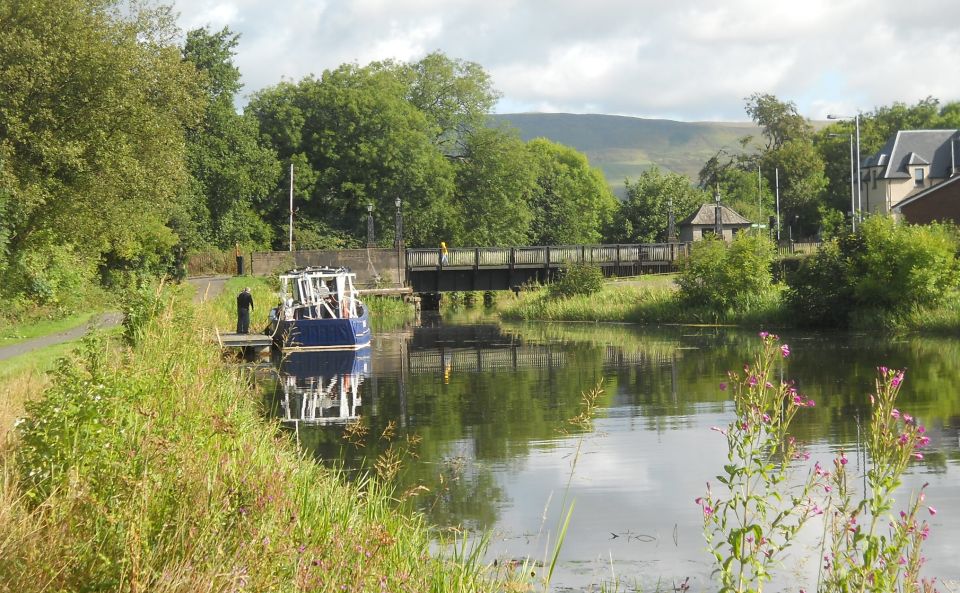 Hillhead
Bridge
on Forth and Clyde Canal at Kirkintilloch |
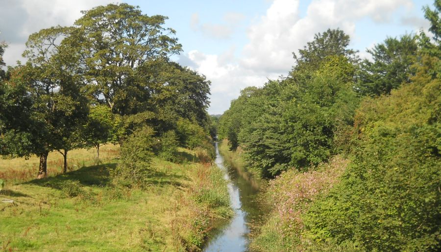 Kelvin
River
from Kilsyth Road |
 Campsie Fells
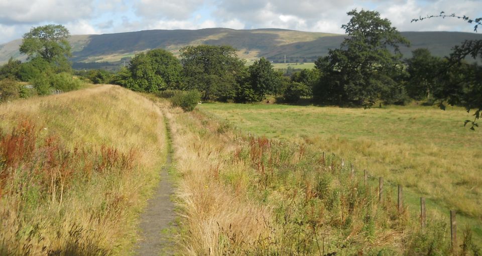
from Kelvin Riverside Path |
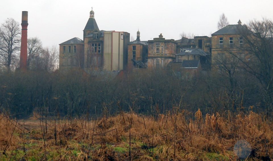
 Broomhill
Hospital
from Kelvin Riverside Path |
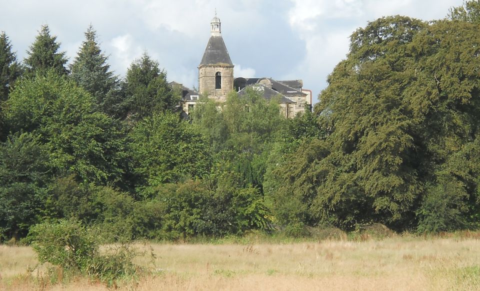
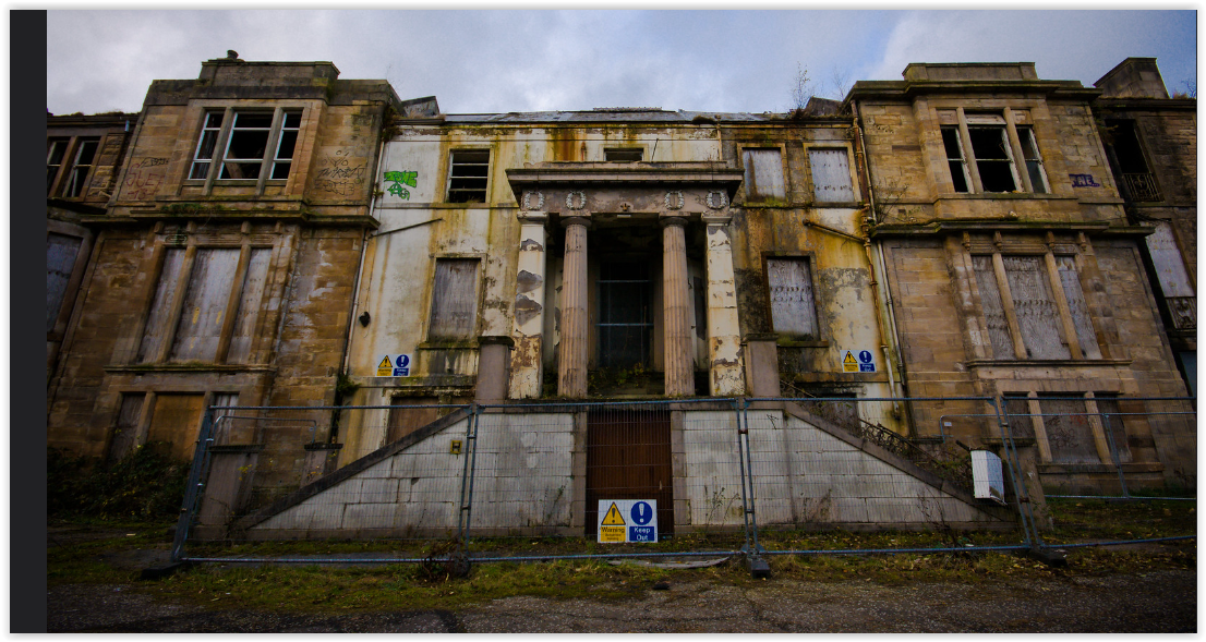
 Broomhill
Hospital
on outskirts of Kirkintilloch Originally Broomfield House - a classical villa with extensive grounds |
 |
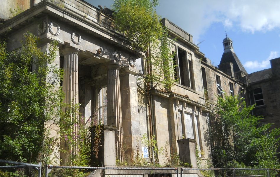
 Broomhill
Hospital
from Strathkelvin Railway Path |
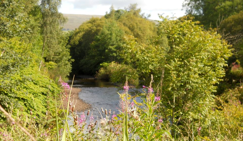 Kelvin
River
|
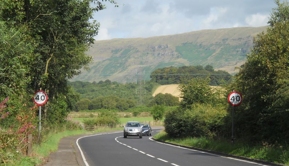 Campsie Fells
from Milton Road on outskirts of Kirkintilloch |
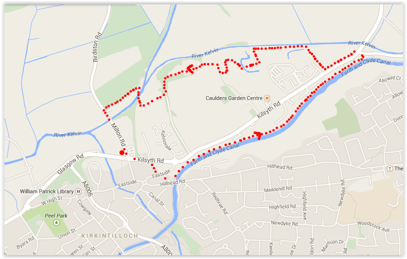 Map of
circular walk at Kirkintilloch
|
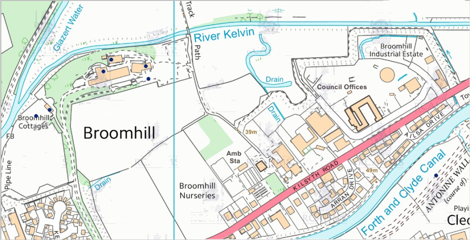 Map of
Broomhill at Kirkintilloch
|
KIRKINTILLOCH CIRCULAR WALK
 ::
Railway
Path
Gallery
::
Railway
Path
Gallery 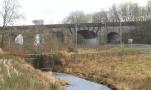 :: Campsie
Fells
:: Campsie
Fells 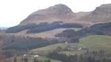
Glencoe | Ben Nevis | Knoydart | Isle of Skye | Isle of Arran
The Eastern Highlands | The Central Highlands | The Southern Highlands | The NW Highlands