|
Bearsden Walks Kippen - Hole of
Sneith
|
  |
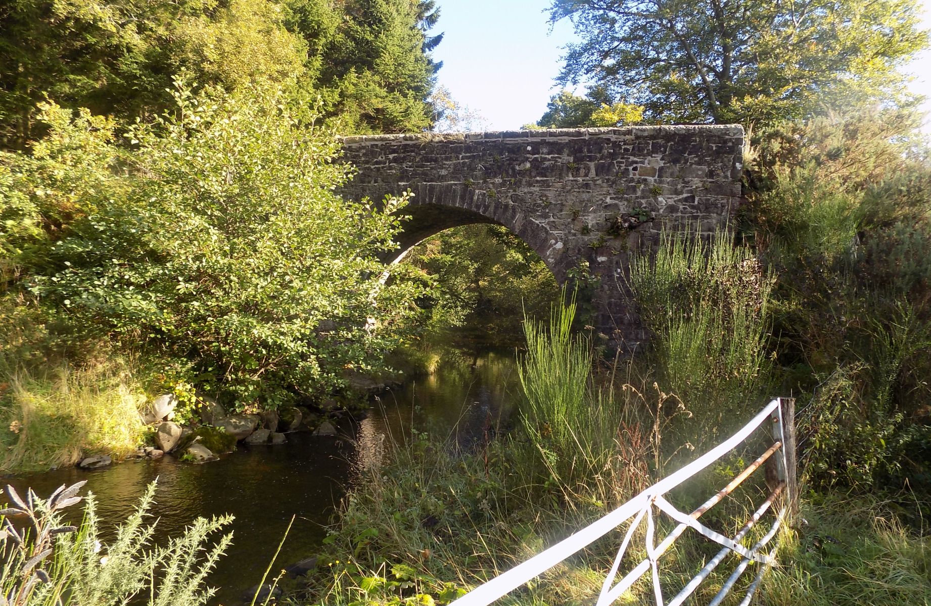
Photographs of the Boquhan Burn and its surroundings
including Dugald's Tower and the Hole of Sneith
to the south of the village of Kippen
| |
Bearsden Walks Kippen - Hole of
Sneith
|
|
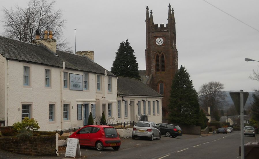 Main Street in Kippen Village Kippen is a small village approximately 10 miles ( 16km ) to the west of Stirling. It lies between the Gargunnock Hills and Fintry Hills to the South and the Strath of the River Forth to the North. |
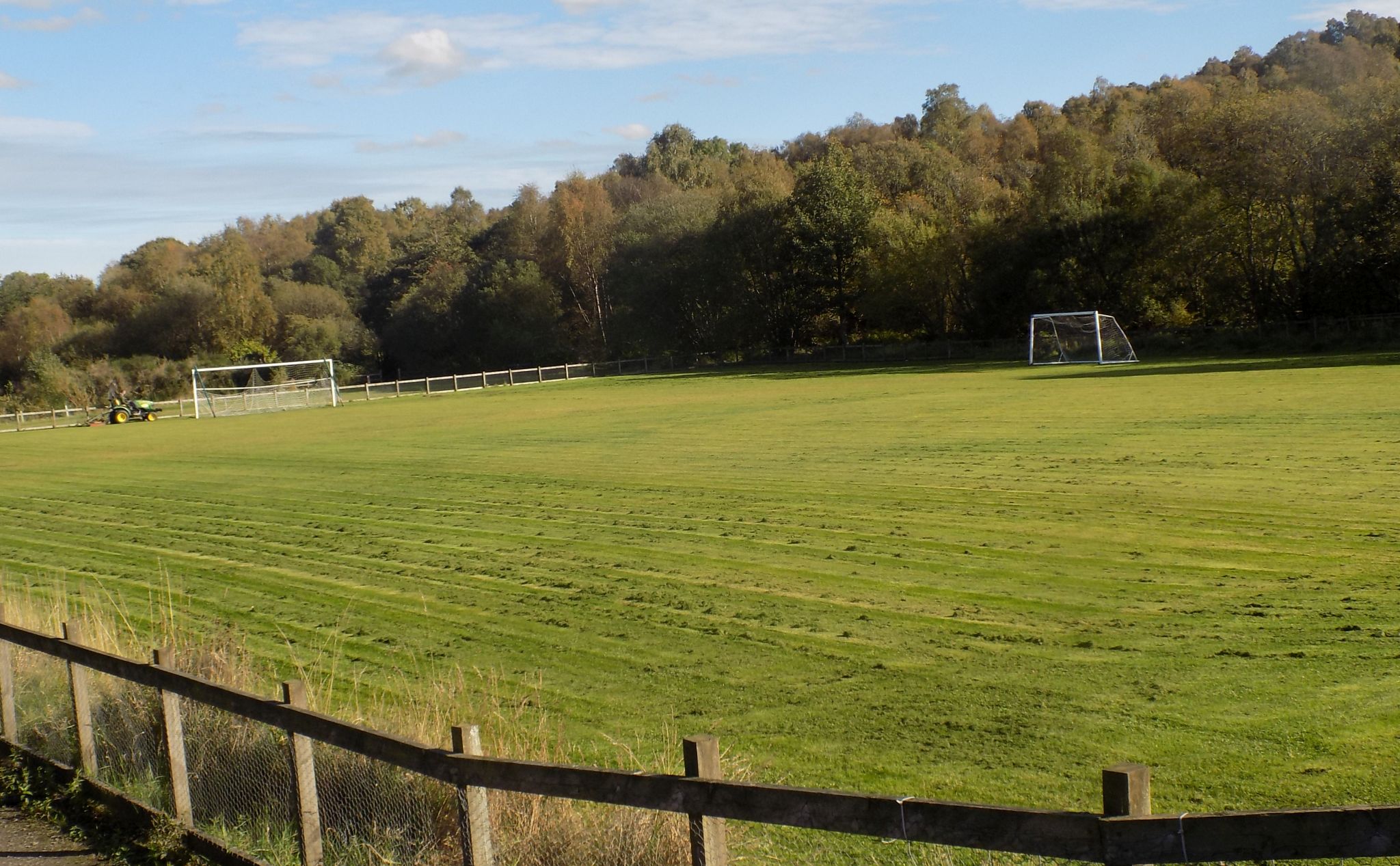 Playing fields at Kippen |
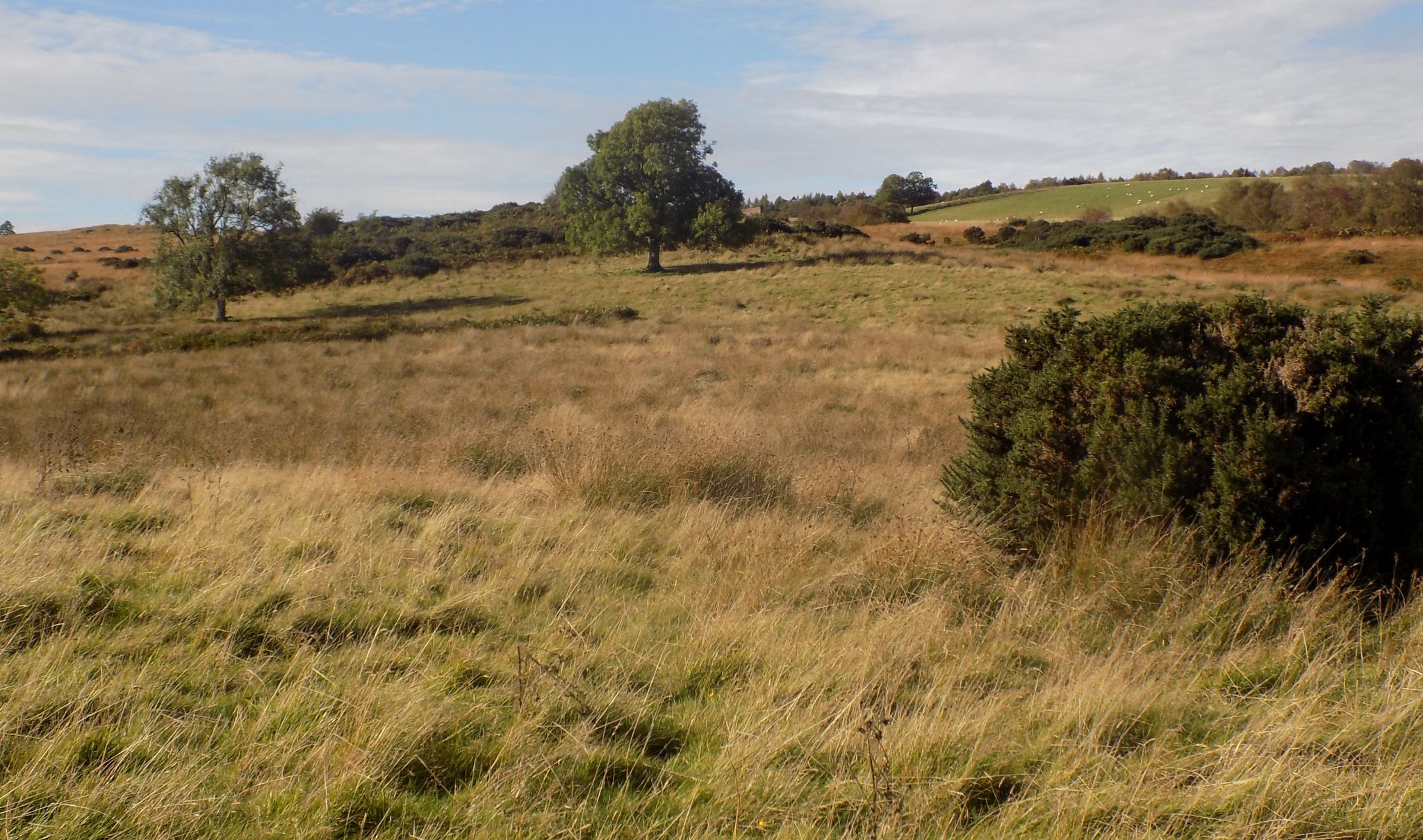
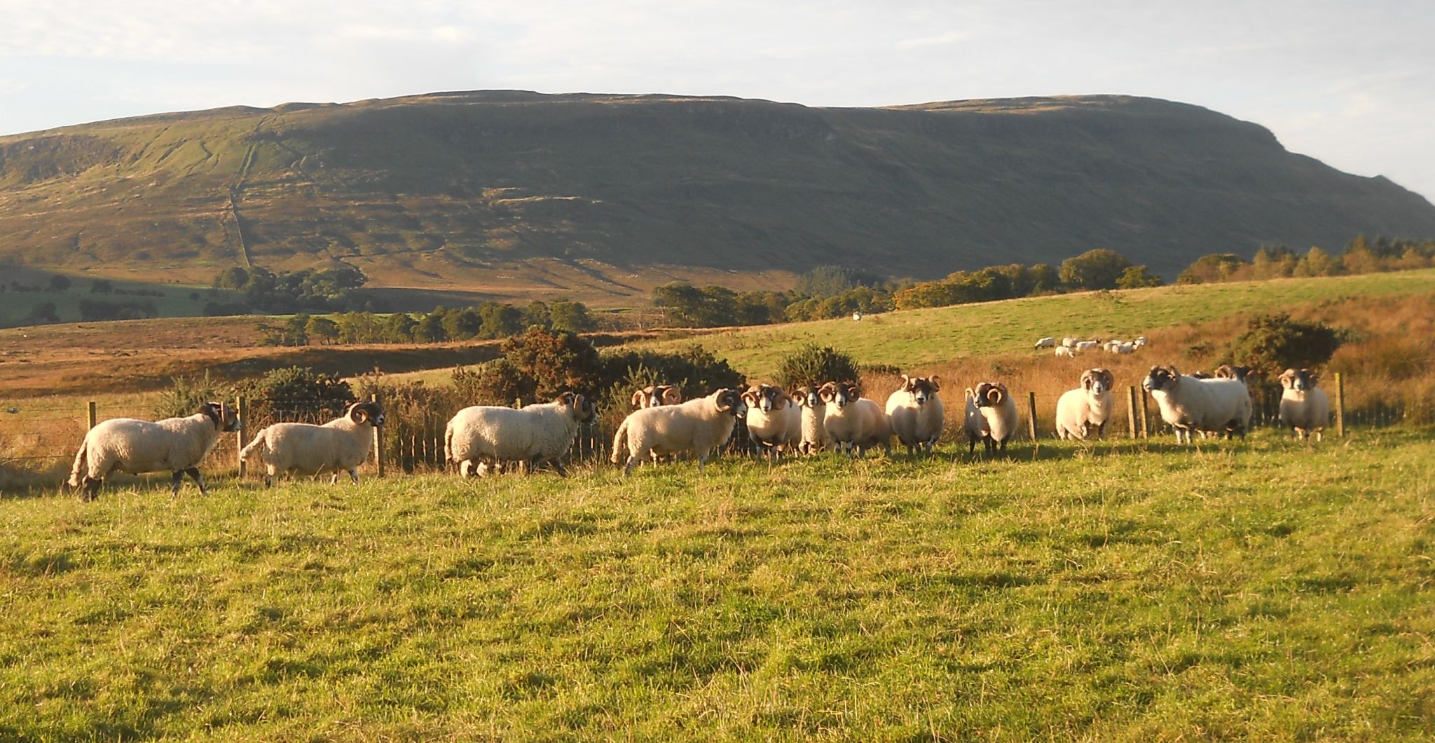 Fintry Hills on route to Boquhan Burn |
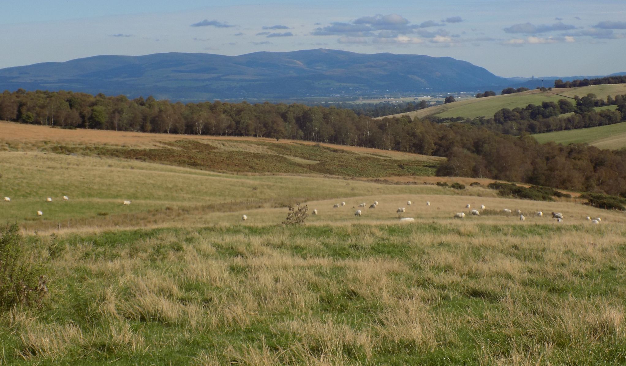 Ochil Hills on route to Boquhan Burn
|
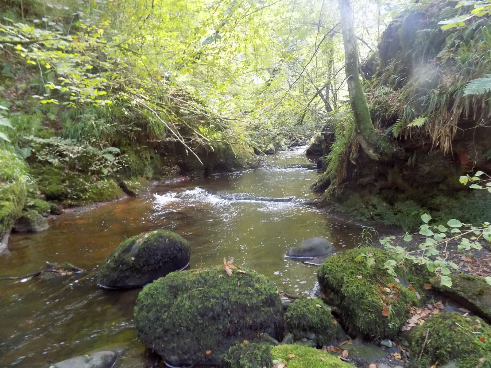
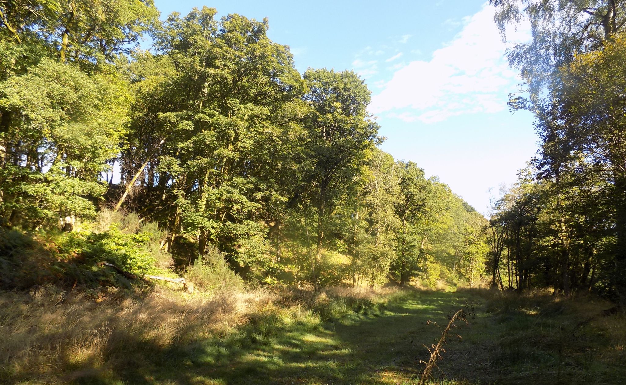
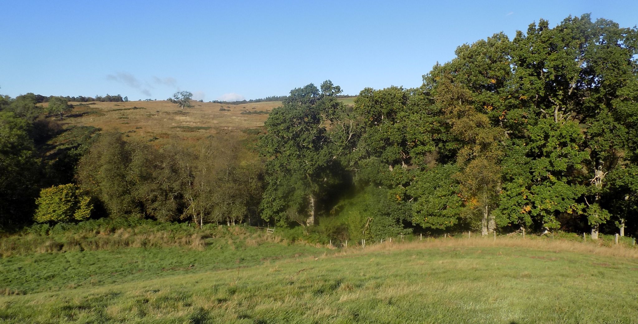 Trees
lining tributary of Boquhan Burn
|
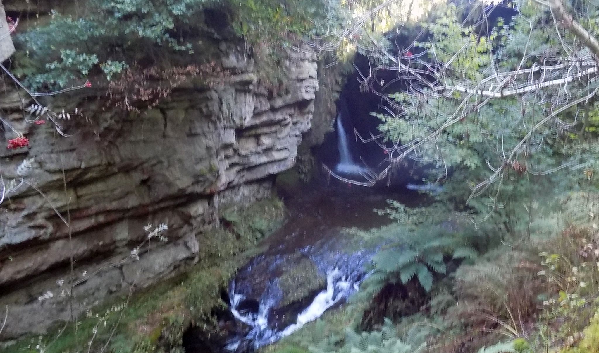
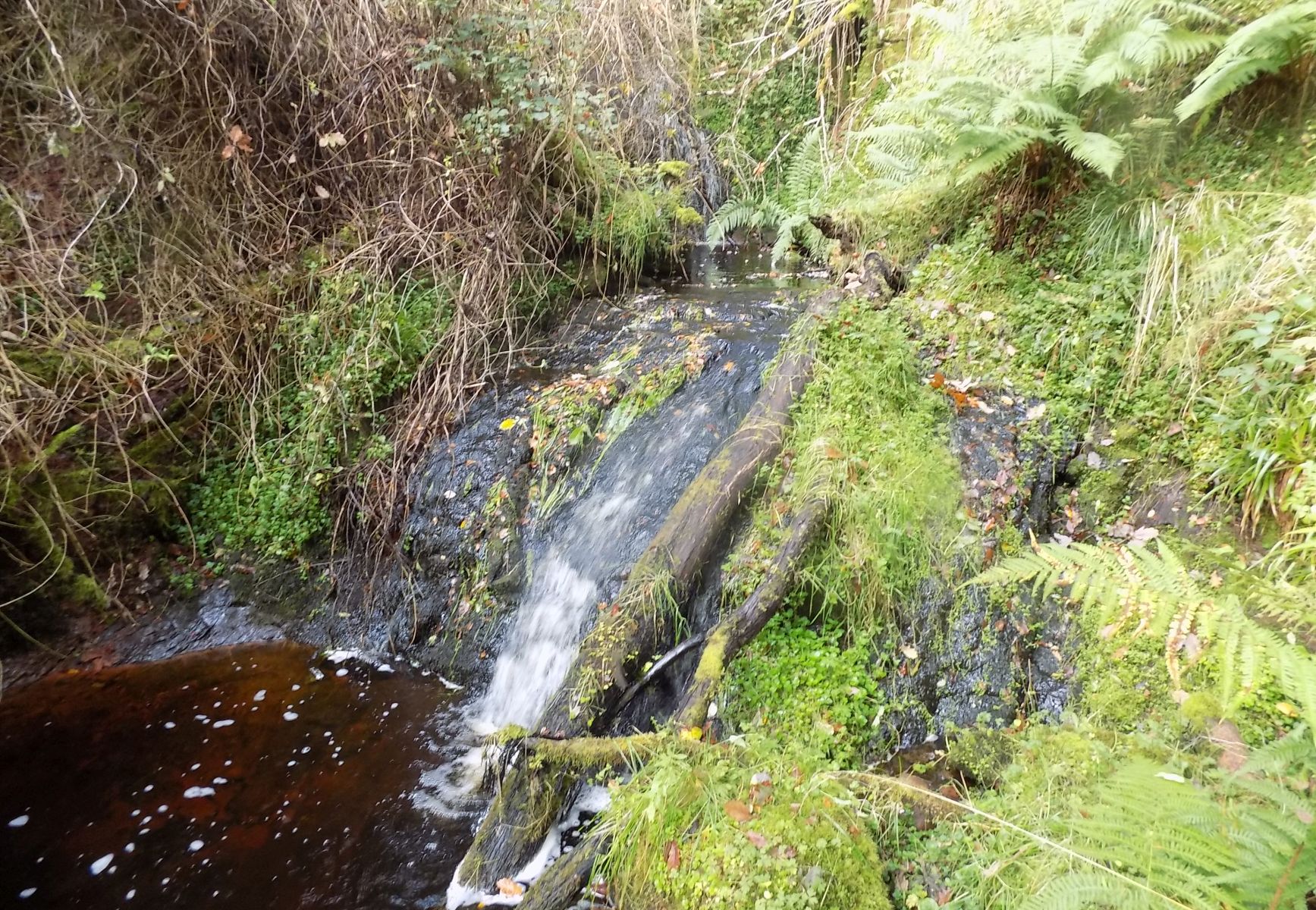
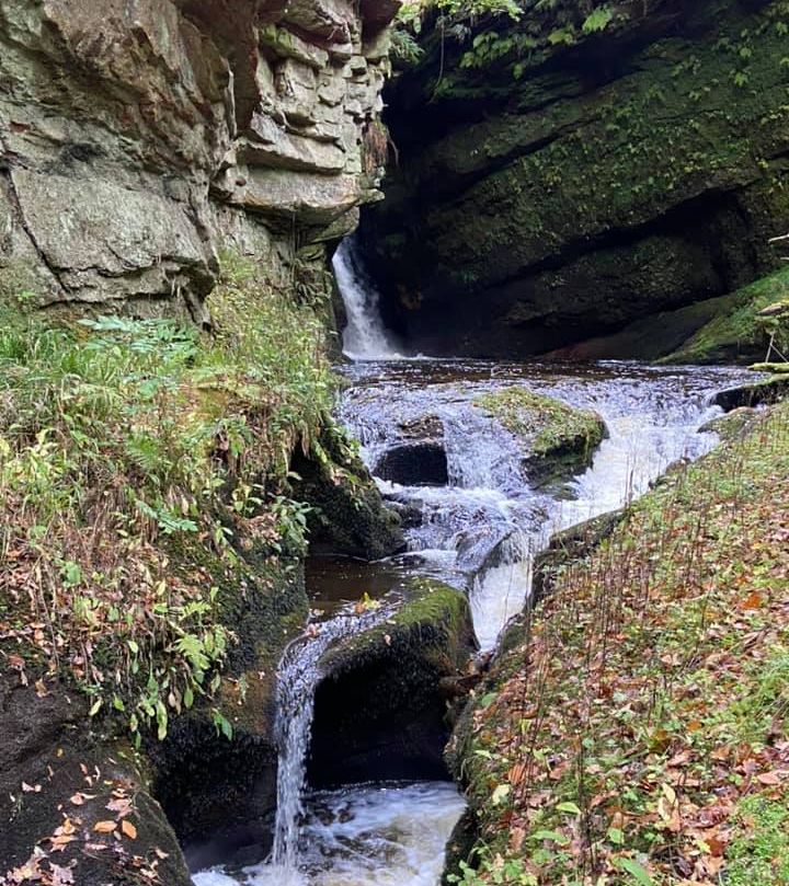
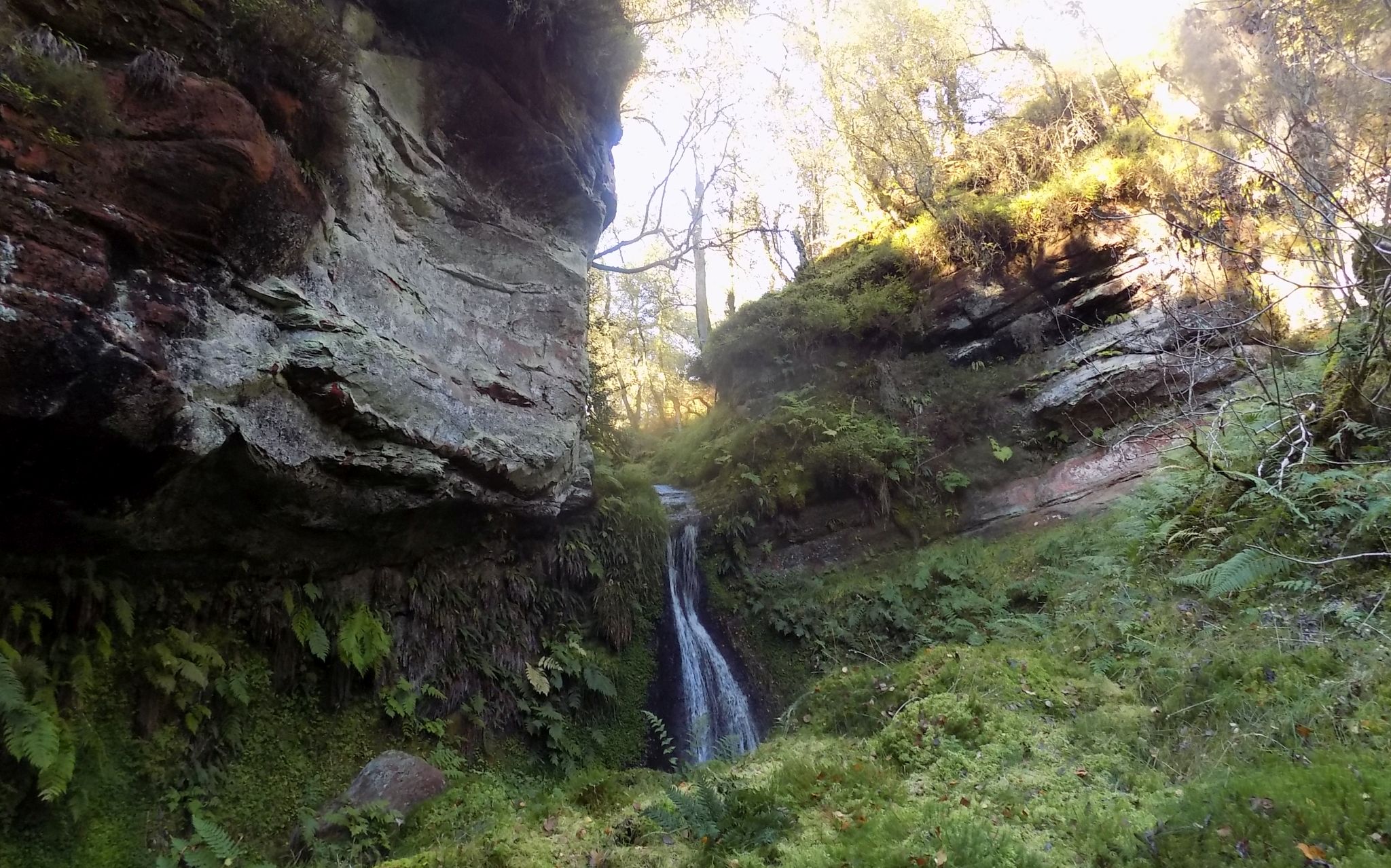 Waterfall on
tributary of Boquhan Burn
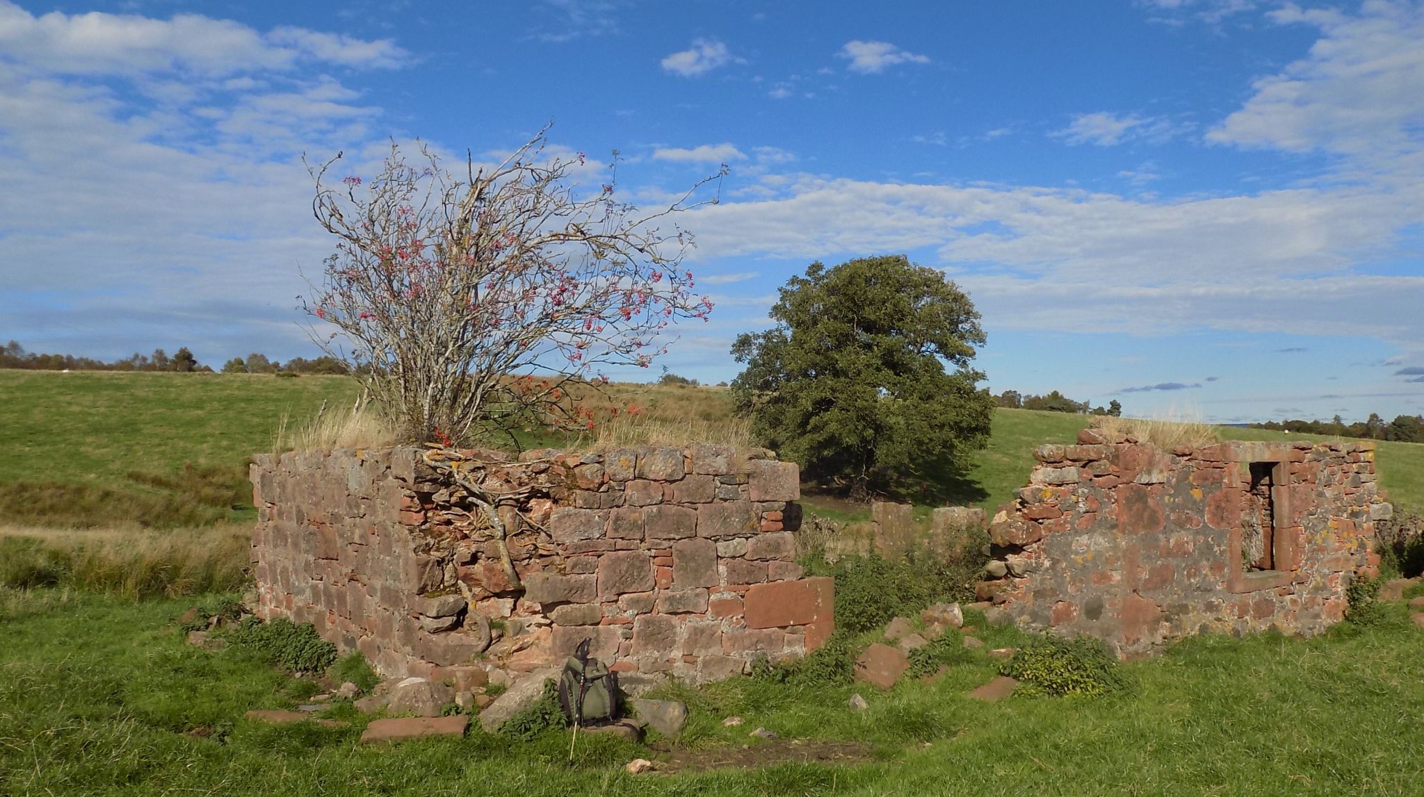
beside Dugald's 'Tower' |
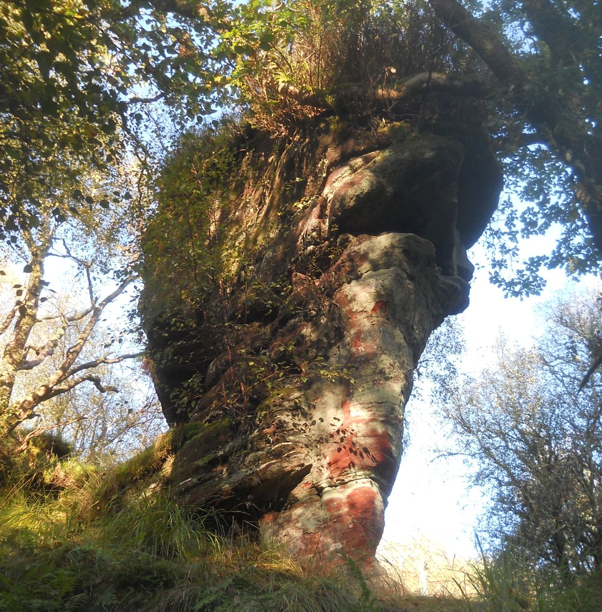
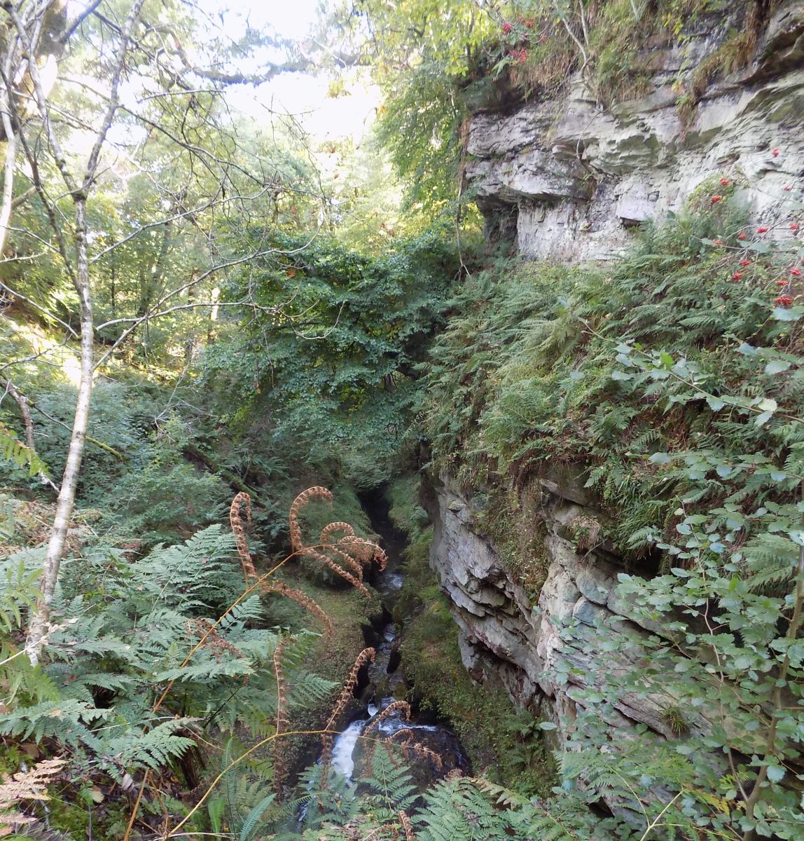
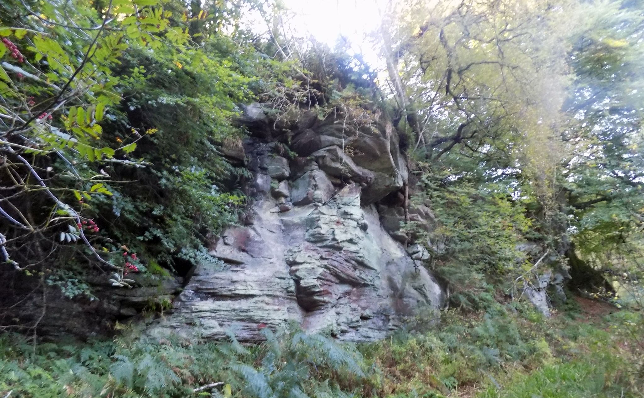
 Route
from Dugald's 'Tower' to
the Hole of Sneith
|
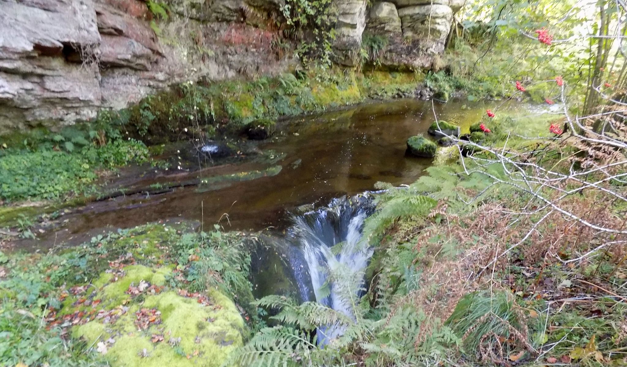
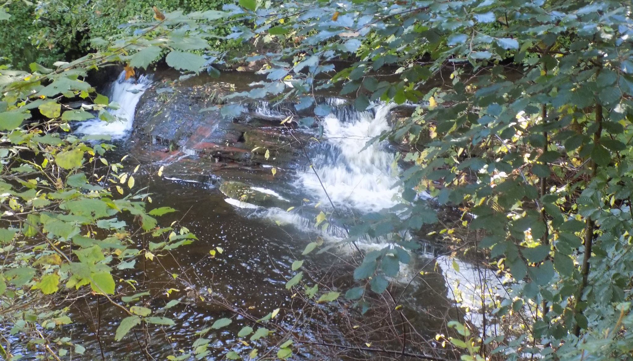
 Waterfalls in the Hole of Sneith |
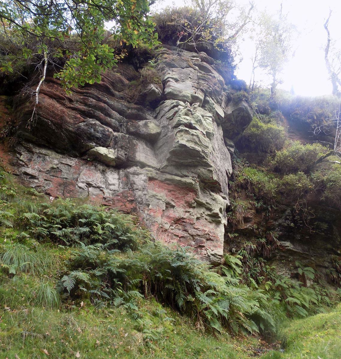
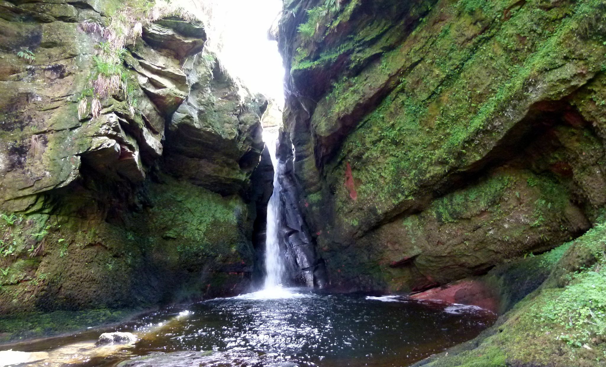
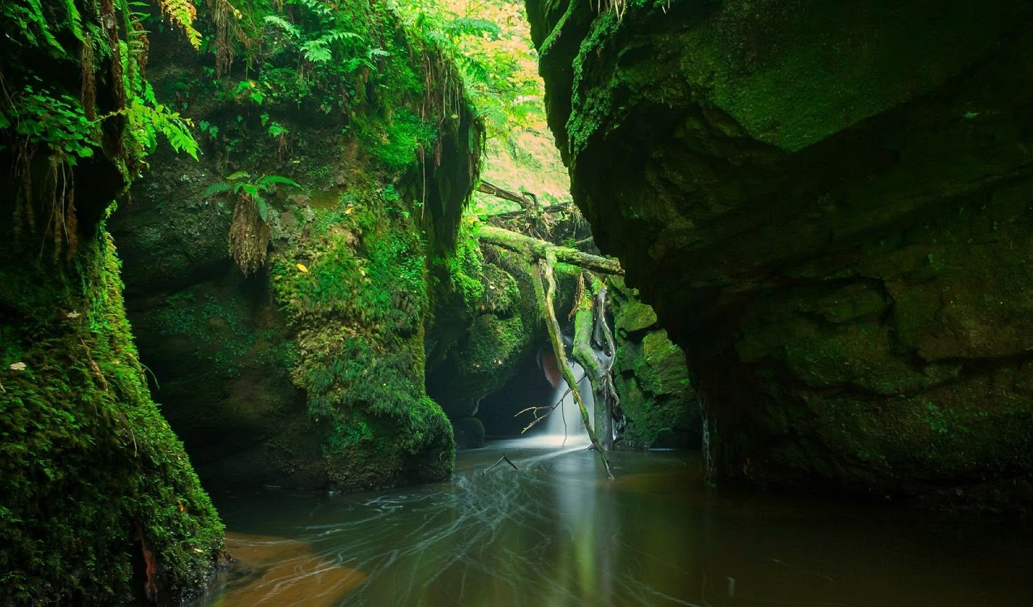 The gorge of Boquhan Burn |
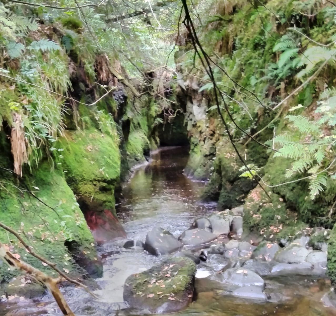 Entrance to the "Whale's Belly" in the gorge of Boquhan Burn |
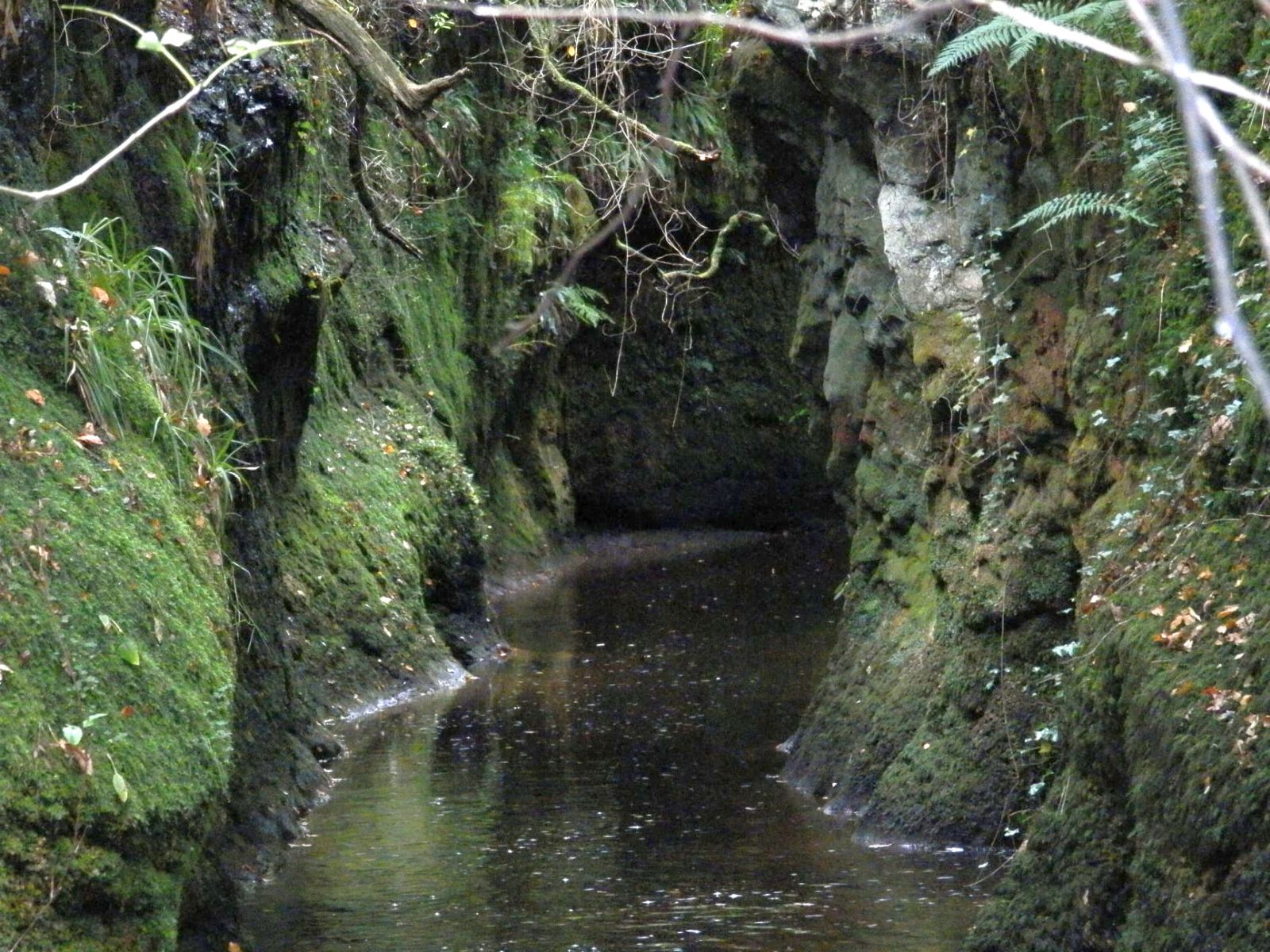 The "Whale's Belly" a narrow and deep gorge of Boquhan Burn enclosed on both sides by perpendicular rocks about 30 feet high. |
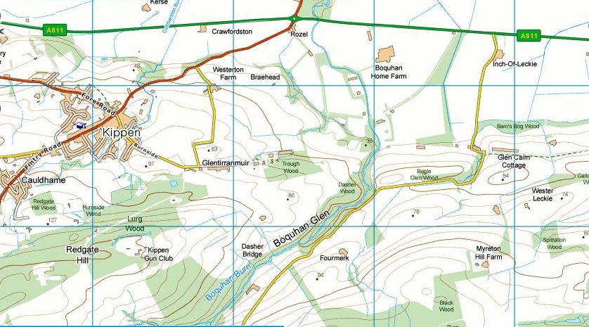 Map of
Kippen area
|
 Map of
Kippen area
|
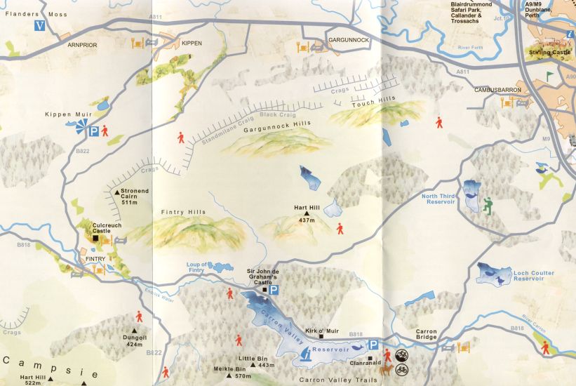 Map of
the Gargunnock Hills
|
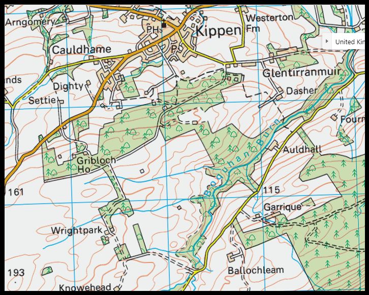
Map of
Kippen area
|
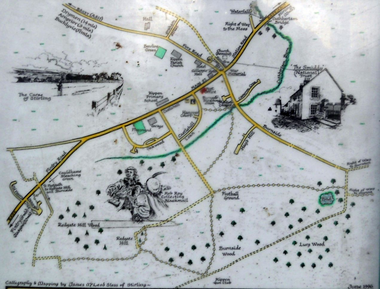 Map of
Kippen Village
( Note: click here or on above for large format copy ) |

Glencoe | Ben Nevis | Knoydart | Isle of Skye | Isle of Arran
The Eastern Highlands | The Central Highlands | The Southern Highlands | The NW Highlands