|
Bearsden Walks Kippen
Circuit
|
  |
Photographs of a circular walk
around the village of Kippen
with views of the Southern Highlands, Ochil Hills,
Gargunnock Hills and Fintry Hills
| |
Bearsden Walks Kippen
Circuit
|
|
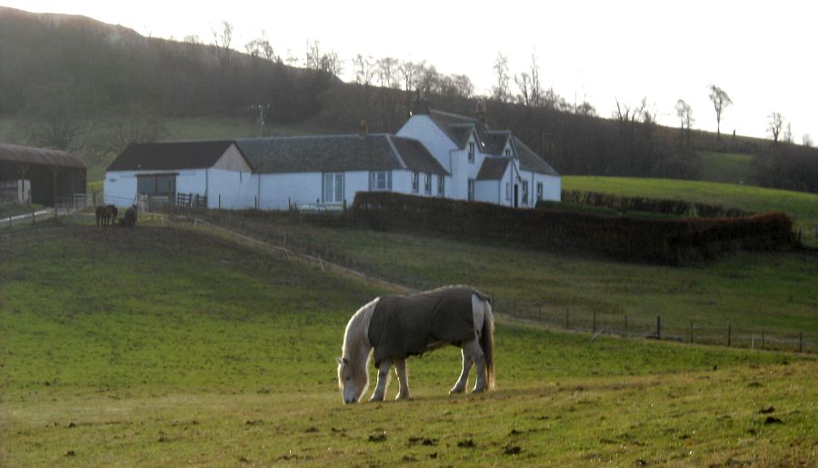
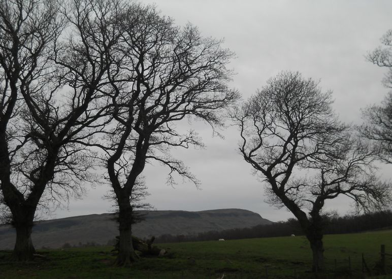
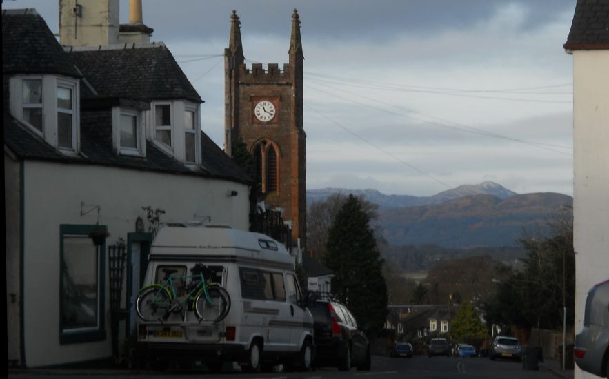 Ben Lomond from Kippen Village Kippen is a small village some 10 miles ( 16km ) to the west of Stirling. It lies between the Gargunnock Hills and Fintry Hills to the South and the Strath of the River Forth to the North. |
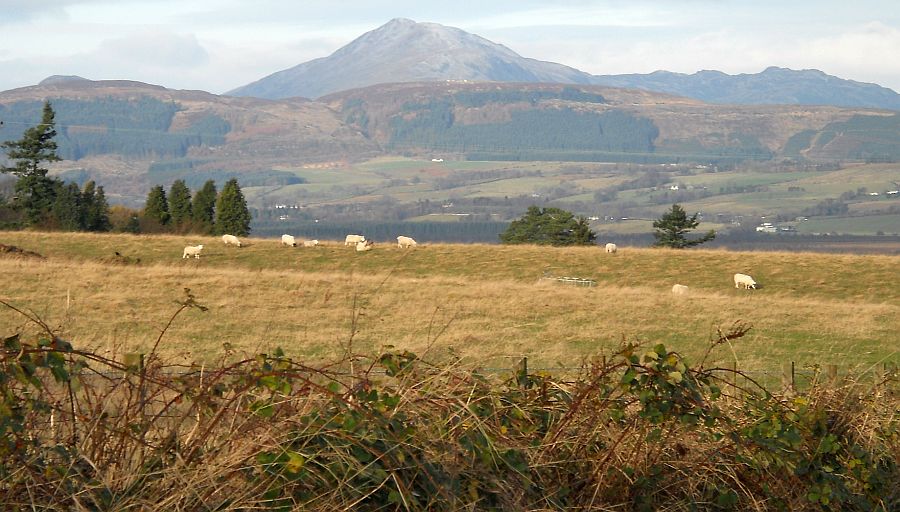
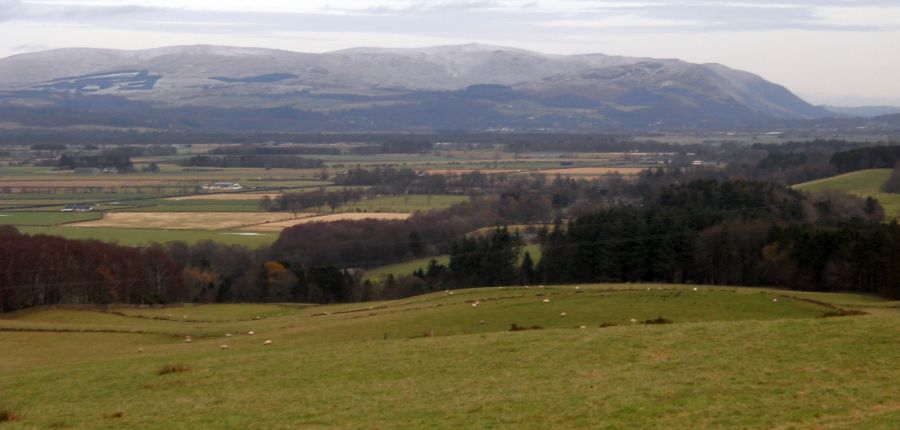
 Ochil Hills from Burnside Road at Kippen |
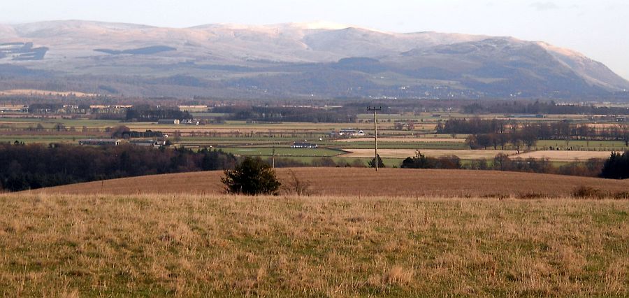
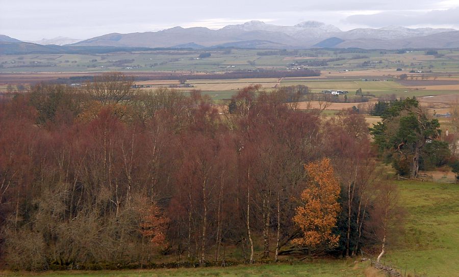
 Southern Highlands
from Burnside Road at Kippen |
 |
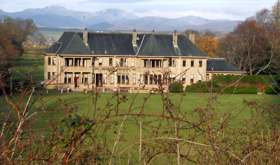 |
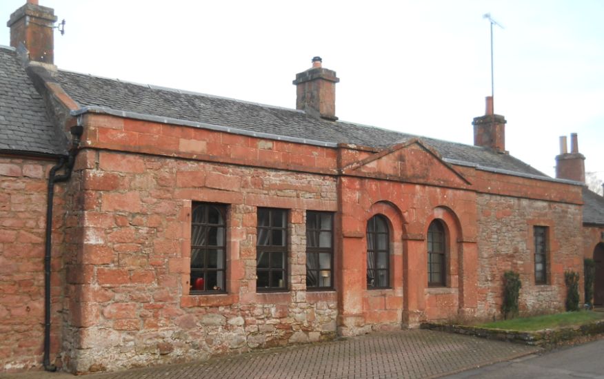
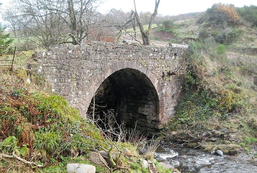
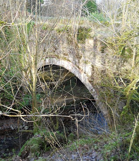
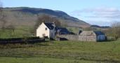
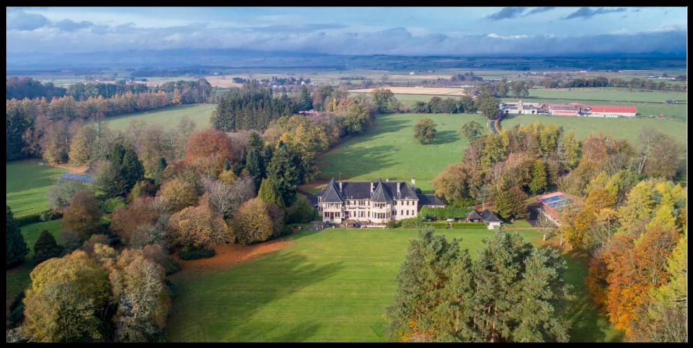 Country House at
Boquan Bridge
|
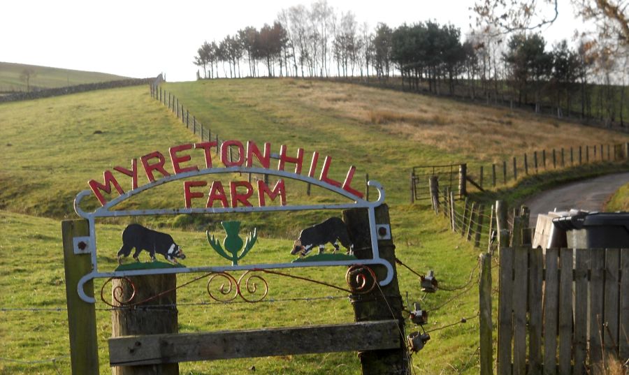 Signpost
at Myretonhill Farm
|
 |
 |
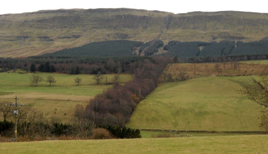
 Ochil
Hills
from above Burnside Woodlands |
 Southern Highlands
beyond Burnside Woodland on decent from Dasher Farm |
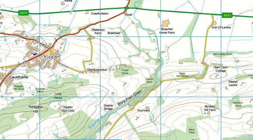 Map of
Kippen area
|
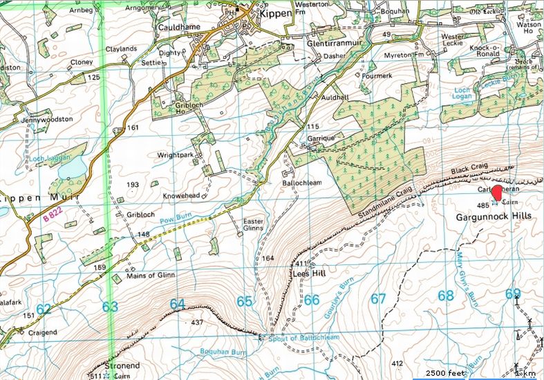 Map of
Kippen area
|
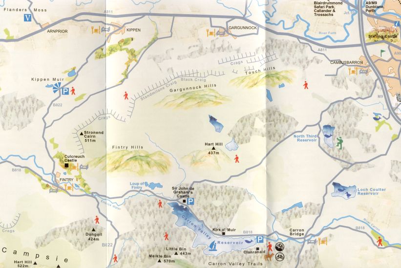 Map of
the Gargunnock Hills
|
KIPPEN CIRCULAR WALK - ROUTE DESCRIPTION:
 :: Kippen
Gallery
:: Kippen
Gallery 
Glencoe | Ben Nevis | Knoydart | Isle of Skye | Isle of Arran
The Eastern Highlands | The Central Highlands | The Southern Highlands | The NW Highlands