|
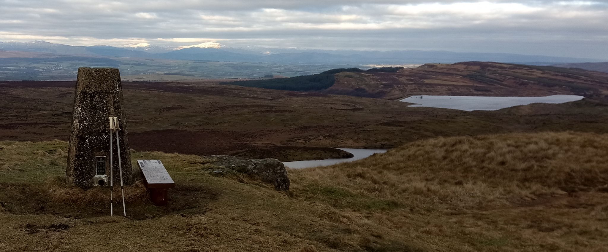
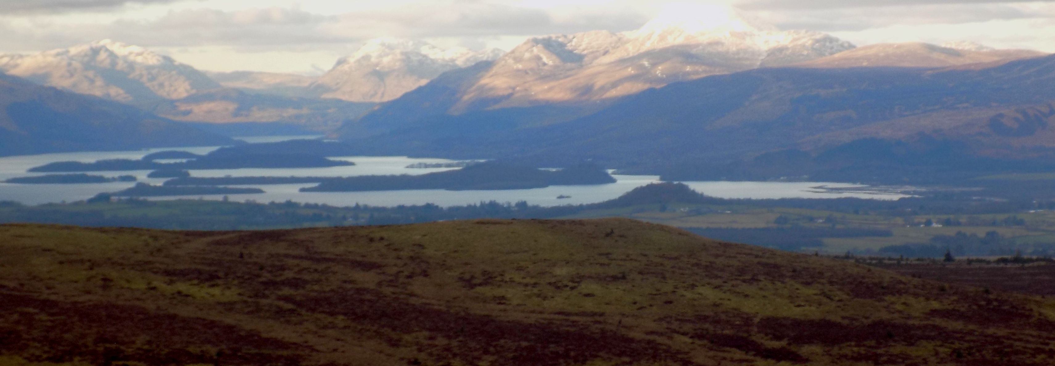
Kilpatrick HillsDuncolm Circuit
|
  |
| |
Kilpatrick HillsDuncolm Circuit
|
|
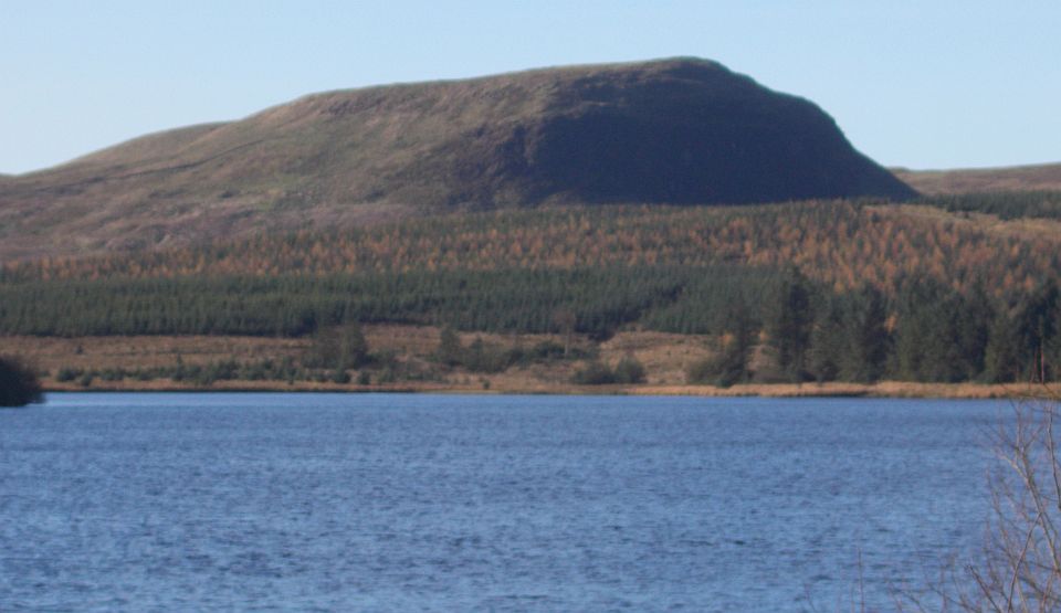
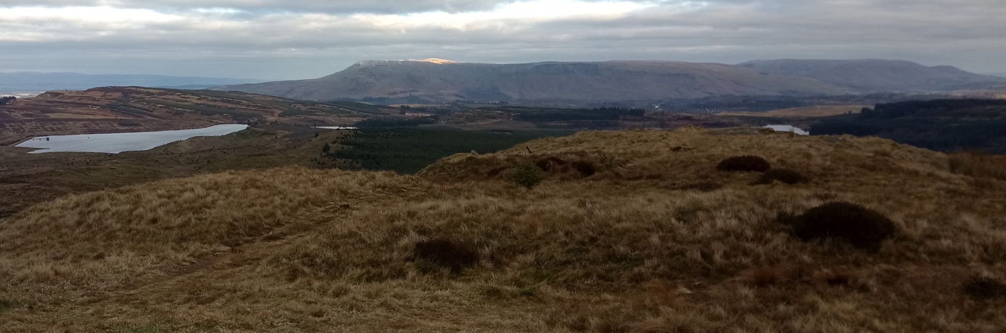
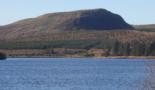
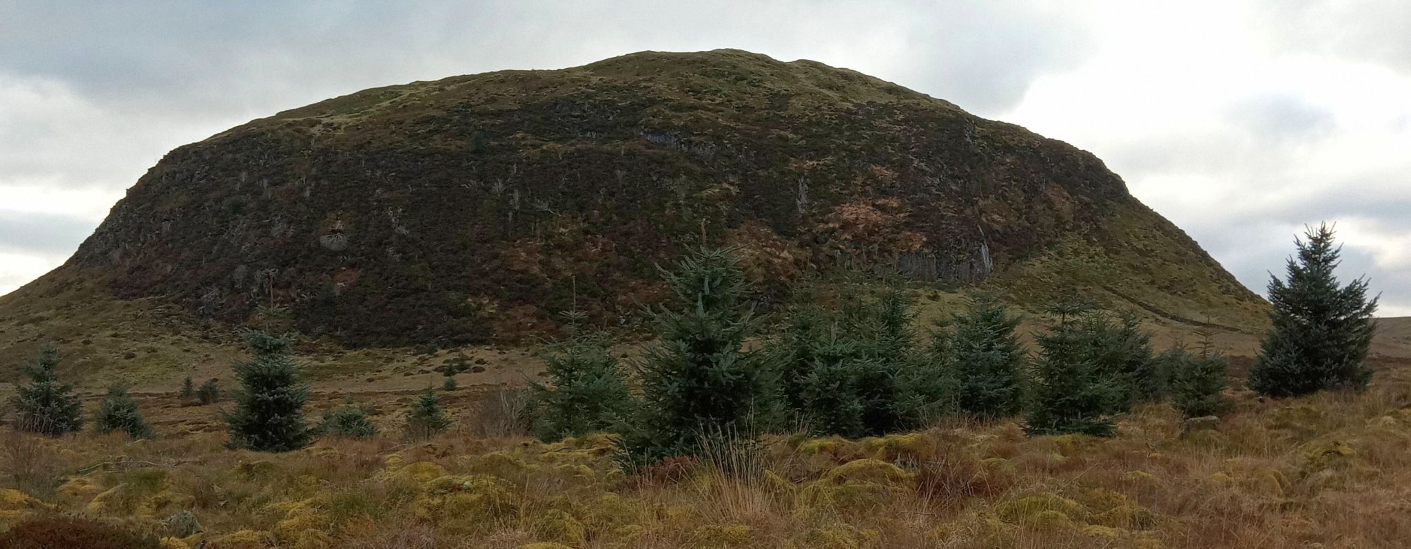 East Face of Duncolm |
 |
 |
 |
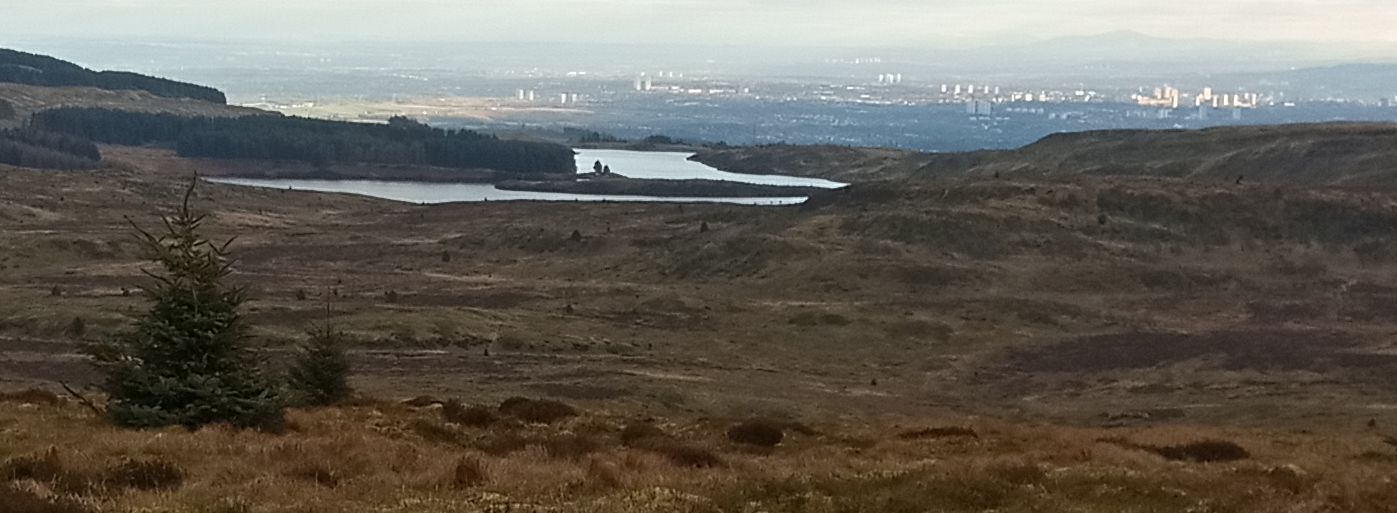 |
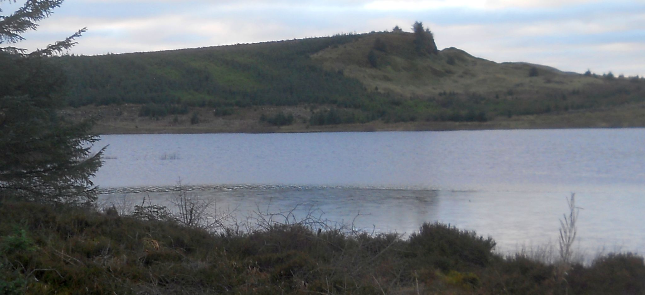
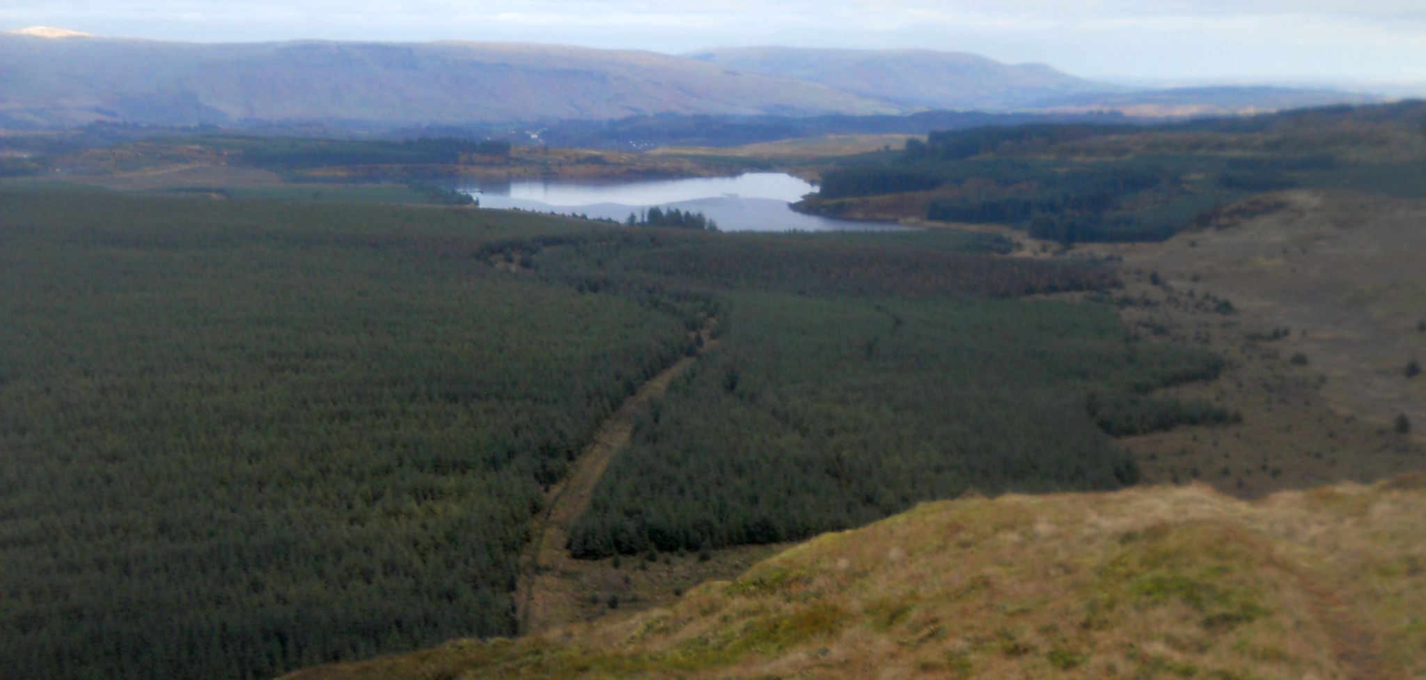 Return
route through forest
beside Kilmannan Reservoir |
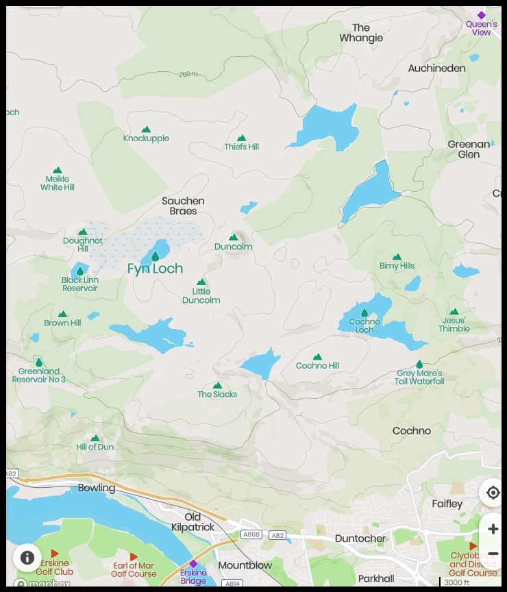
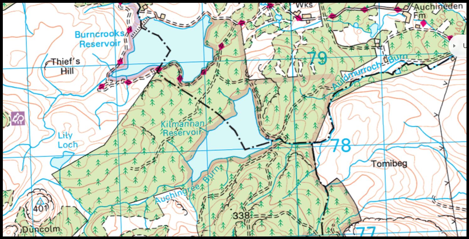 Map of Duncolm in the Kilpatrick Hills
|
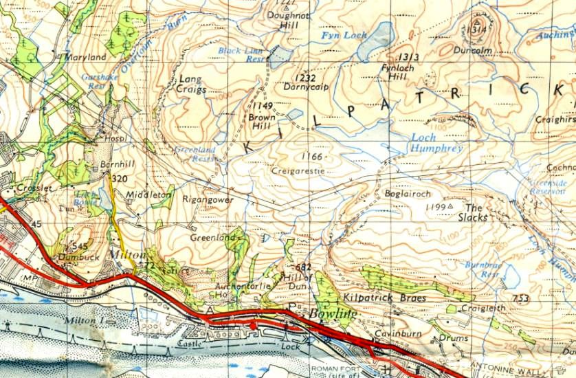 Map of the Kilpatrick Hills
|
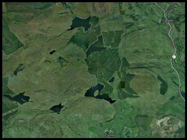
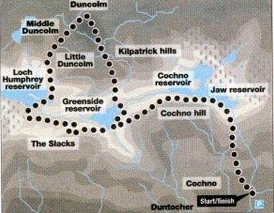 Map for Jaw
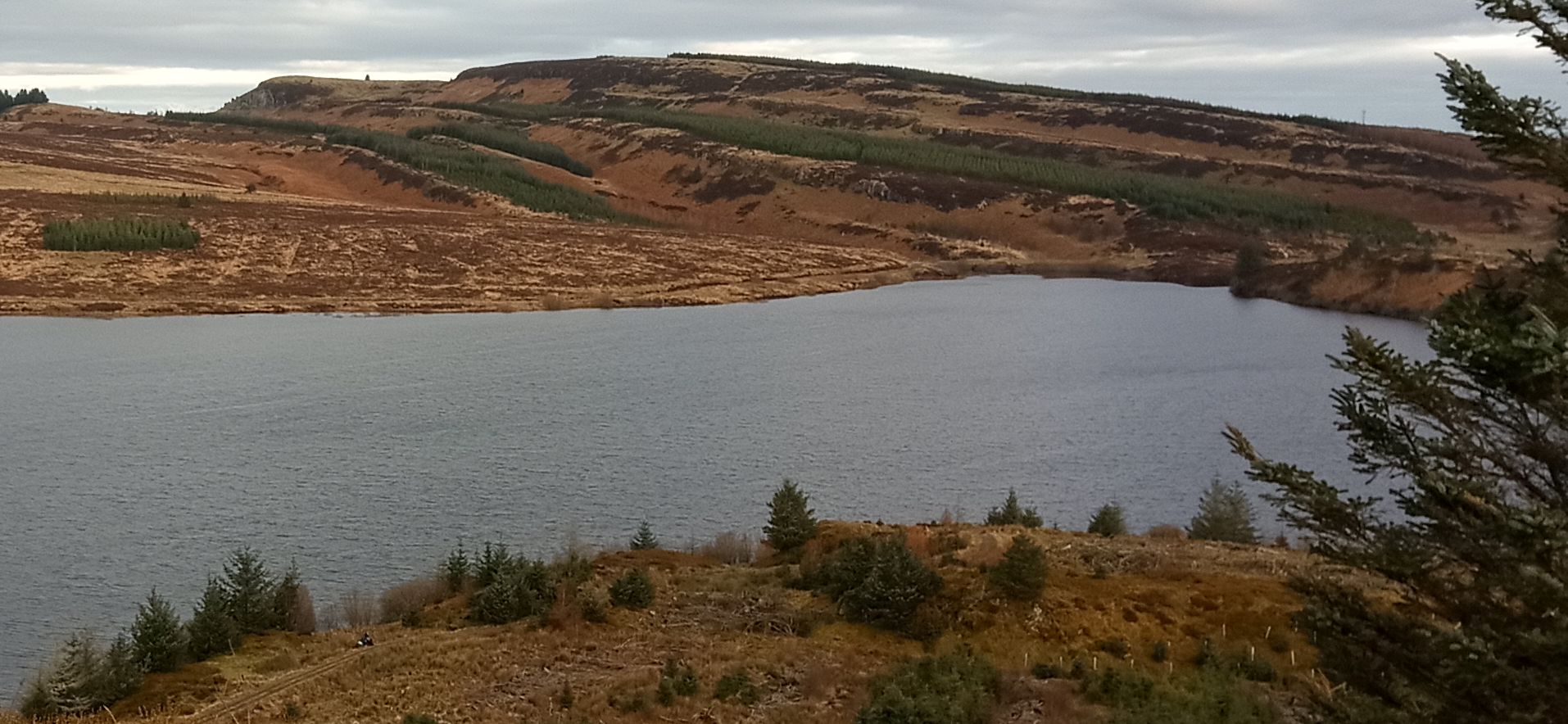
Reservoir and Duncolm
|
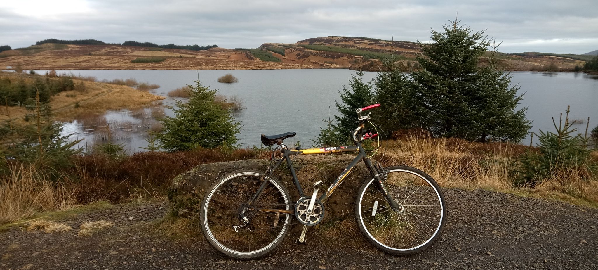
JAW RESERVOIR & DUNCOLM - ROUTE DESCRIPTION:
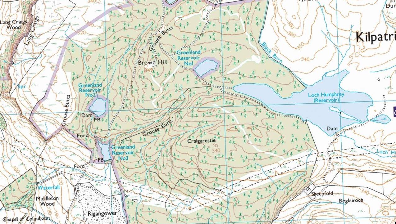 Map
of Loch
Humphrey
|
 Map of
Dumbarton Muir Reservoirs & Hills
|
 Map of
Dumbarton Muir Reservoirs
|
 :: Kilpatrick Hills
Gallery
:: Kilpatrick Hills
Gallery 
Glencoe | Ben Nevis | Knoydart | Isle of Skye | Isle of Arran | The West Highland Way
The Eastern Highlands | The Central Highlands | The Southern Highlands | The NW Highlands