  |
Union CanalRatho
|
|
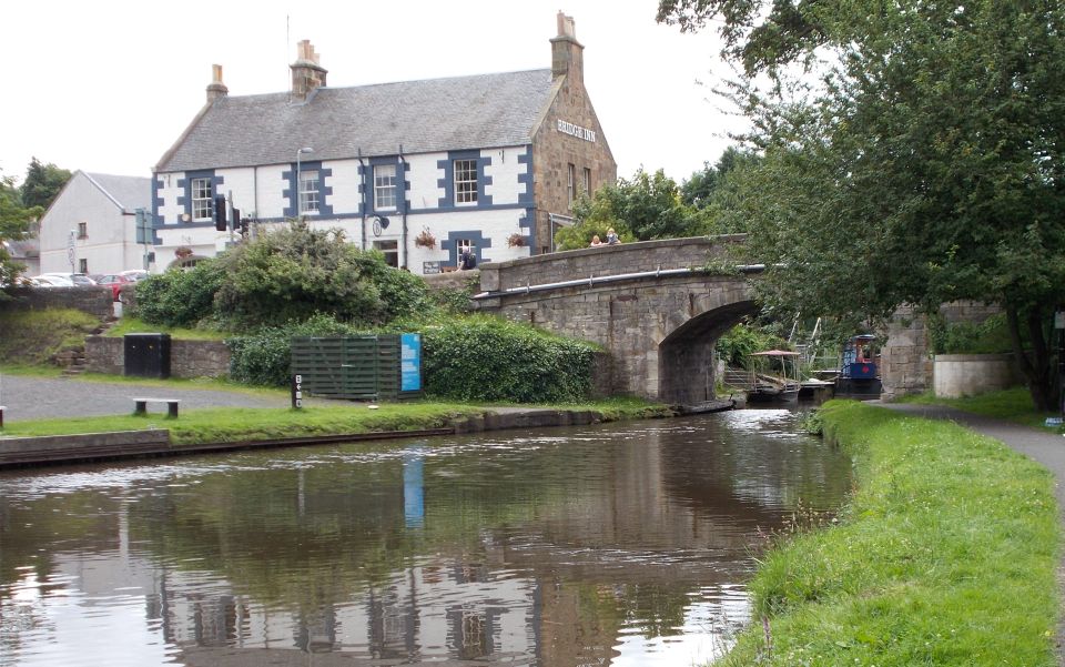
Bridge Inn on Union Canal at Ratho |
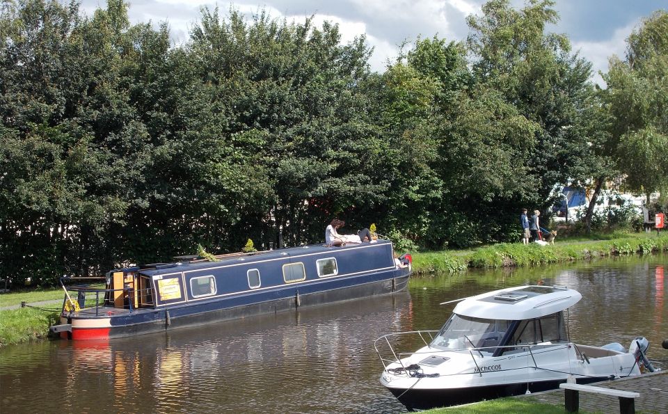
Boats on Union Canal at Ratho |
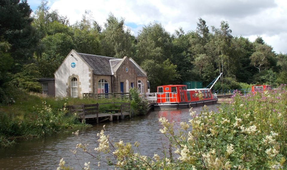
Union Canal at Ratho |
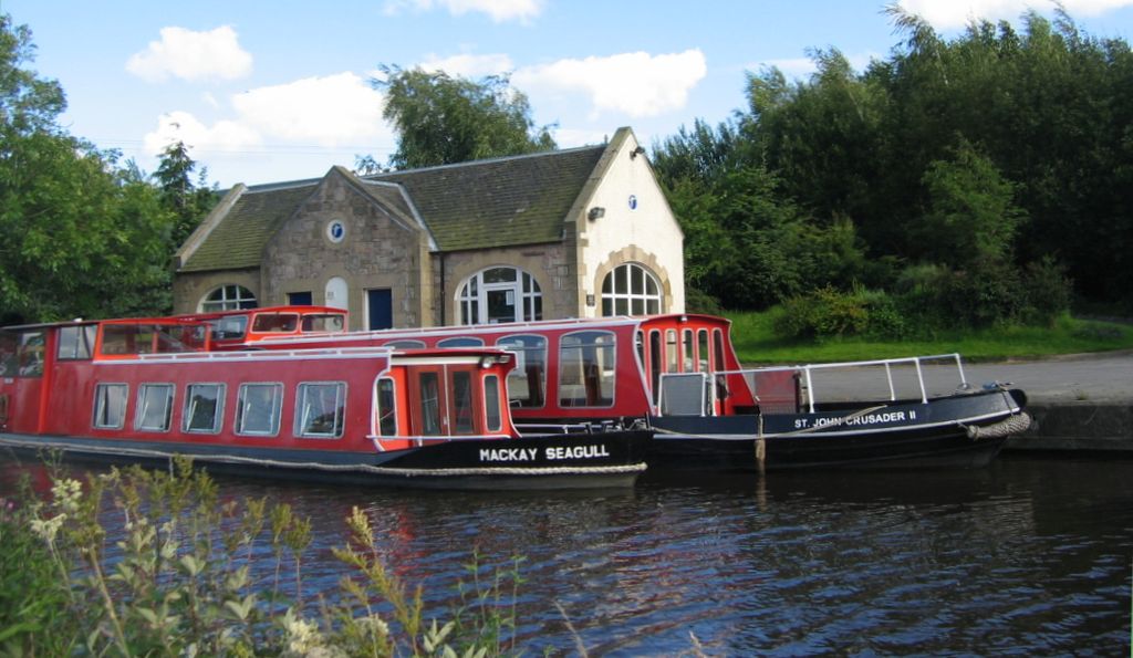
Cruise boats on Union Canal at Ratho The Mackay Seagull was built by the
apprentices
of Cammell Laird in Liverpool and named after the Seagull Trust founder Rev Hugh Mackay |
Edinburgh International Climbing Arena adjacent to the Union Canal at Ratho |

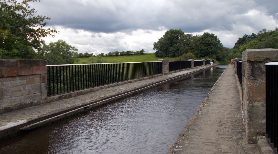
Aqueduct on the Union Canal over the B7030 |
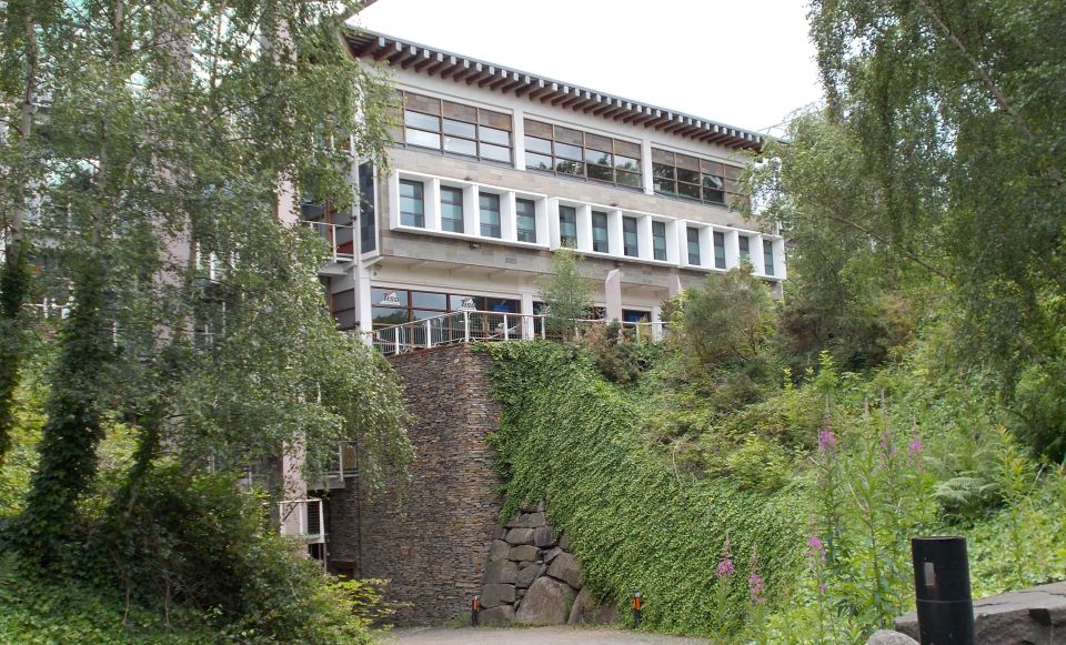
 Clifton
Hall School
a category A-listed building constructed in 1850 |
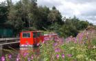
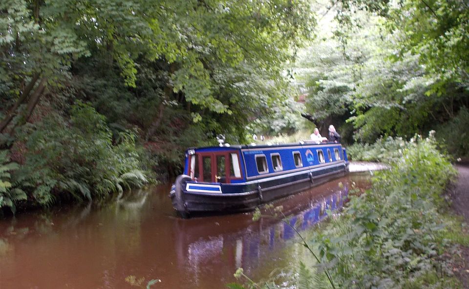 Narrowboat
on the Union Canal |
 Lin's
Mill Aqueduct on Union Canal
over the Almond River A scheduled monument. |
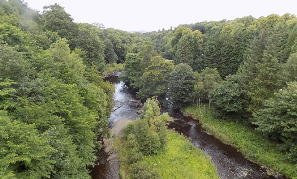 Almond
River
from aqueduct on Union Canal |
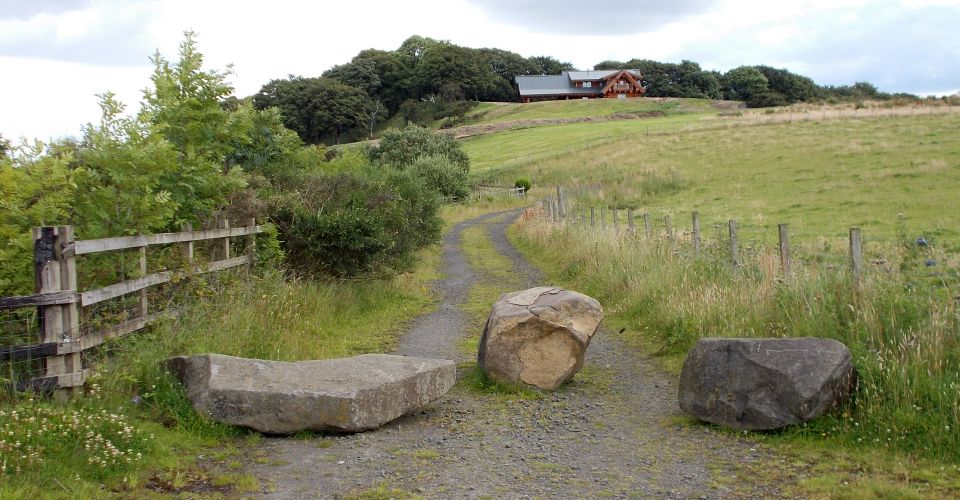
 Countryside
at Clifton
|
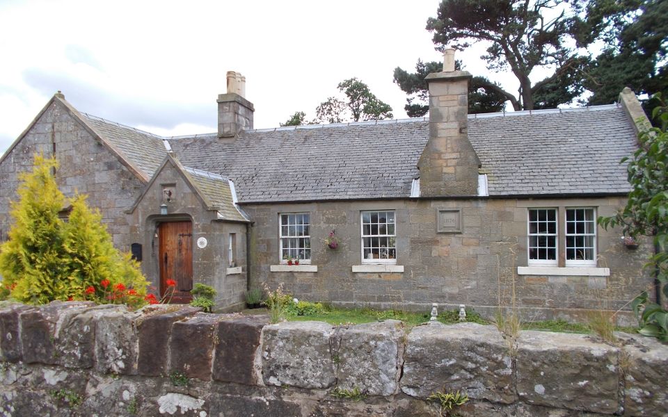 Victoria
Cottage
at Clifton Mains |
 Aqueduct on the
Union Canal
over the B7030 |
 Trail
over Platt Hill
above Ratho |
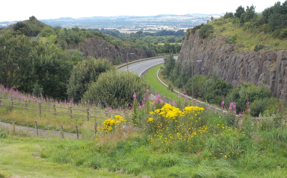 M8
from Platt Hill
above Ratho |
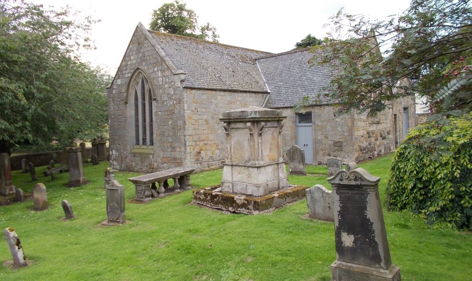 Parish
Church
at Ratho
|
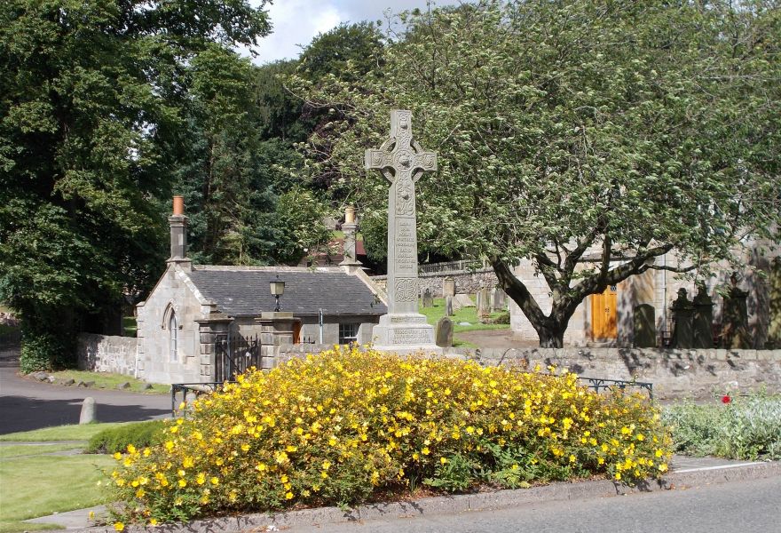 War
Memorial
at Ratho |
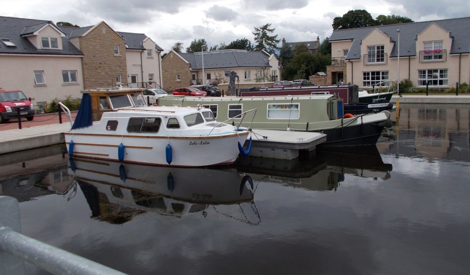 Boats
in Ratho Marina
|
 Map
of Union Canal at Ratho
|
 Route
Map
of Union Canal at Ratho
|
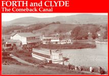
 :: Forth
&
Clyde Canal Gallery
:: Forth
&
Clyde Canal Gallery 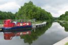
Glencoe | Ben Nevis | Knoydart | Isle of Skye | Isle of Arran | The West Highland Way
The Eastern Highlands | The Central Highlands | The Southern Highlands | The NW Highlands