|
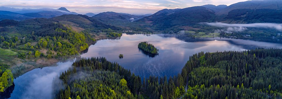
The Trossachs Loch
Ard
|
  |
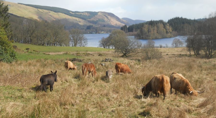
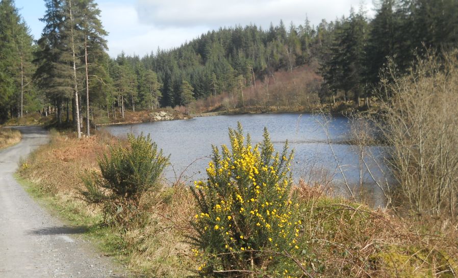
Photographs of a circular walk along Loch Ard
to Kinlochard returning through Loch Ard Forest
At Aberfoyle in the Trossachs Region of Scotland
| |
The Trossachs Loch
Ard
|
|
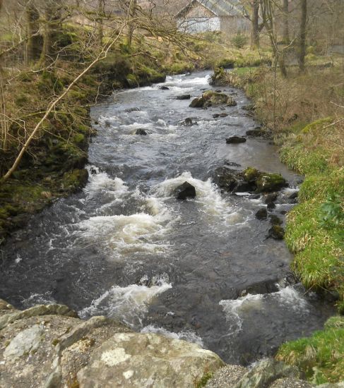
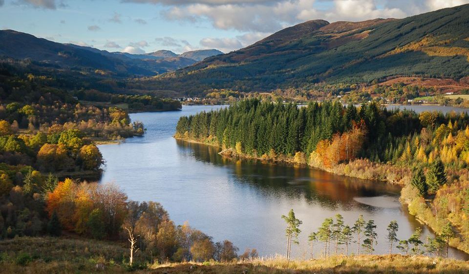
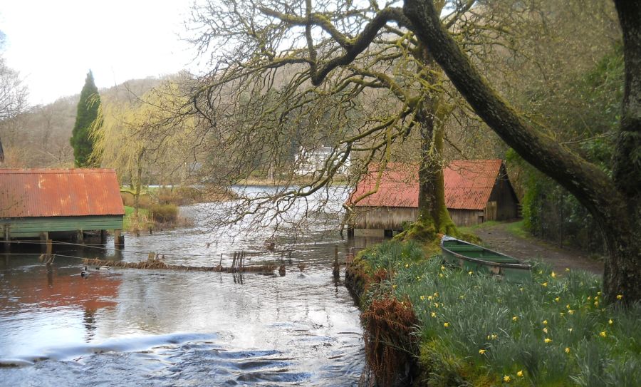 River Forth outlet from Loch Ard on the outskirts of Aberfoyle |
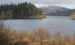
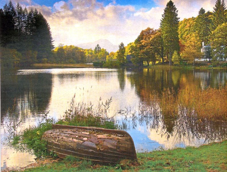 Loch Ard on the outskirts of Aberfoyle |
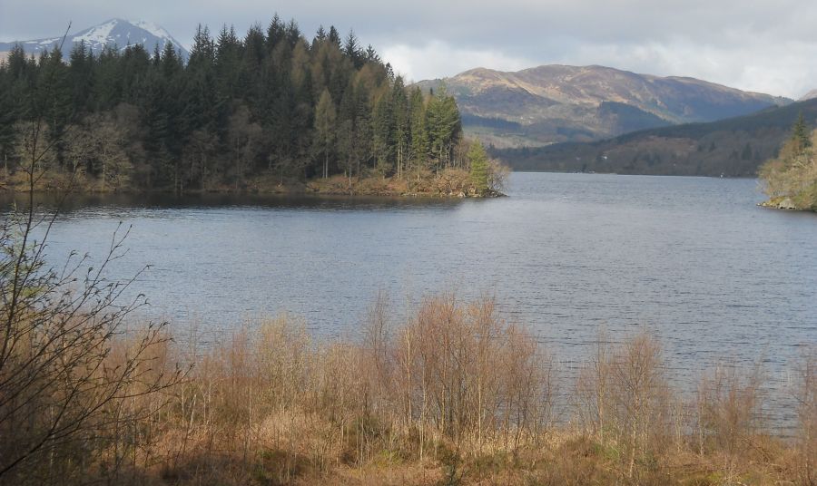
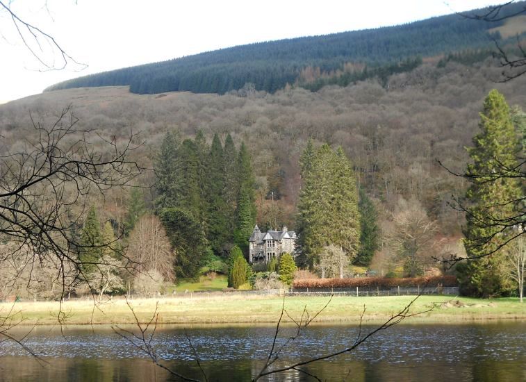 Hillsides
above Loch Ard
|
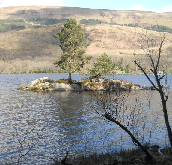
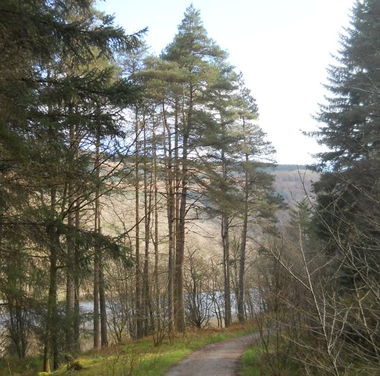 Pine trees alongside Loch Ard |
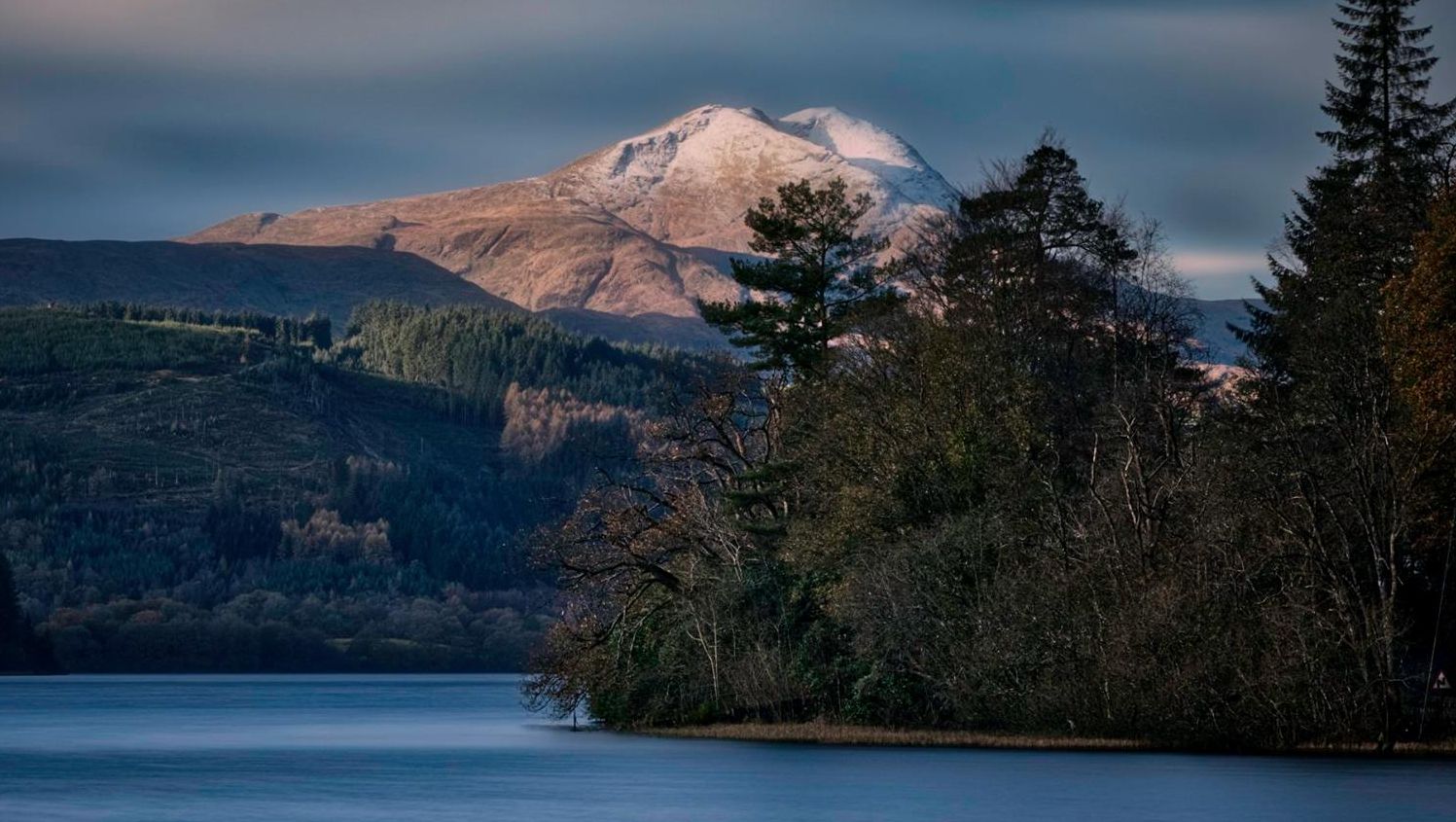
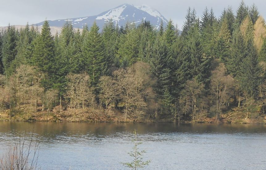 Ben
Lomond
from Loch Ard |
 Ben
Lomond
from Loch Ard |
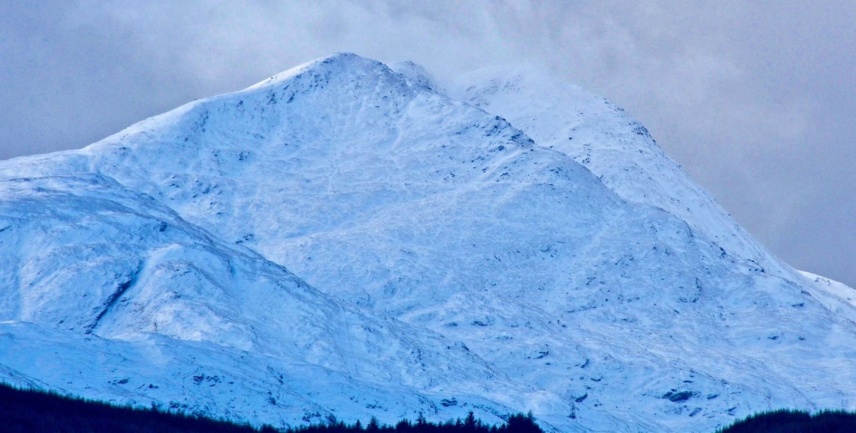
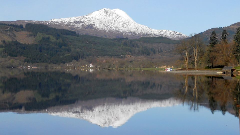 Ben
Lomond
above Loch Ard |
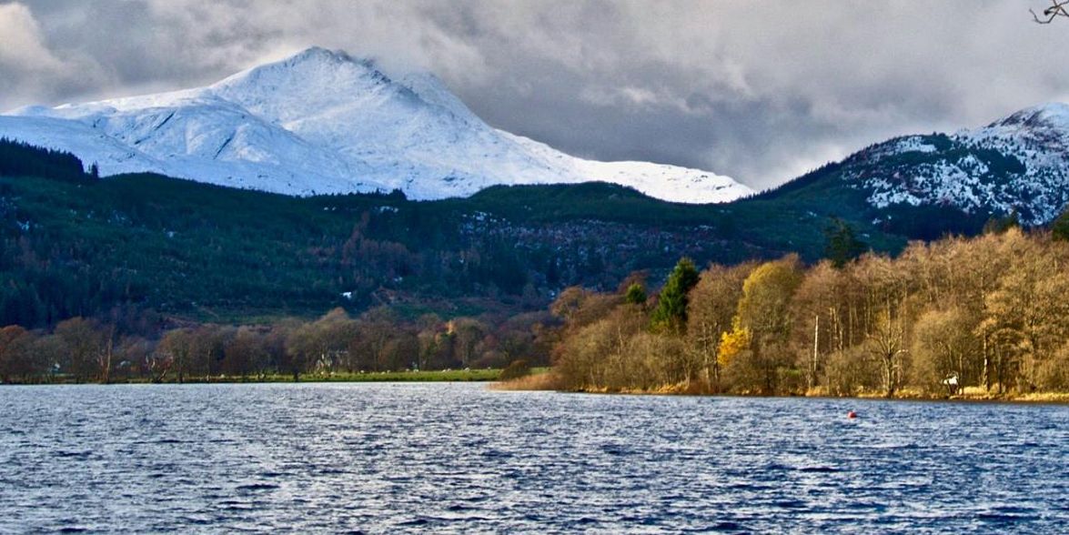
 Ben
Lomond
above Loch Ard |
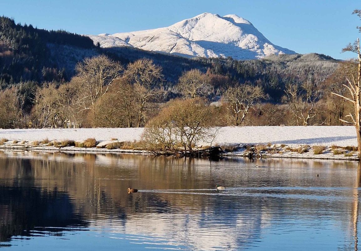
 Ben
Lomond
above Loch Ard |
 Ben
Lomond
above Loch Ard |
 Ben
Lomond
above Loch Ard |
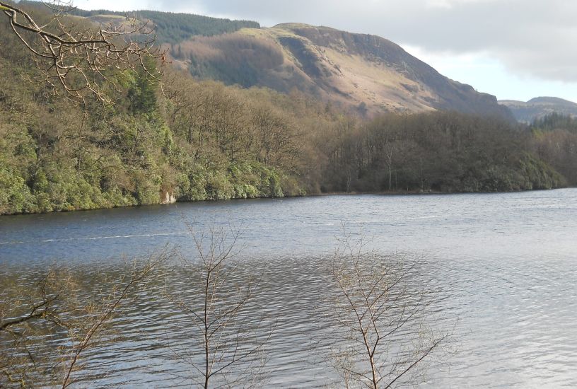 Craigmore
above Loch Ard |
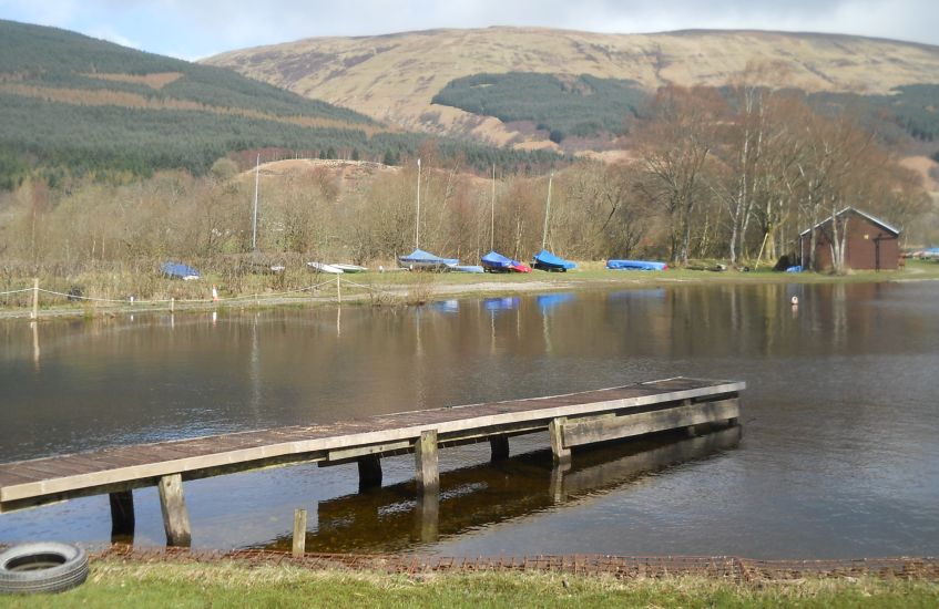
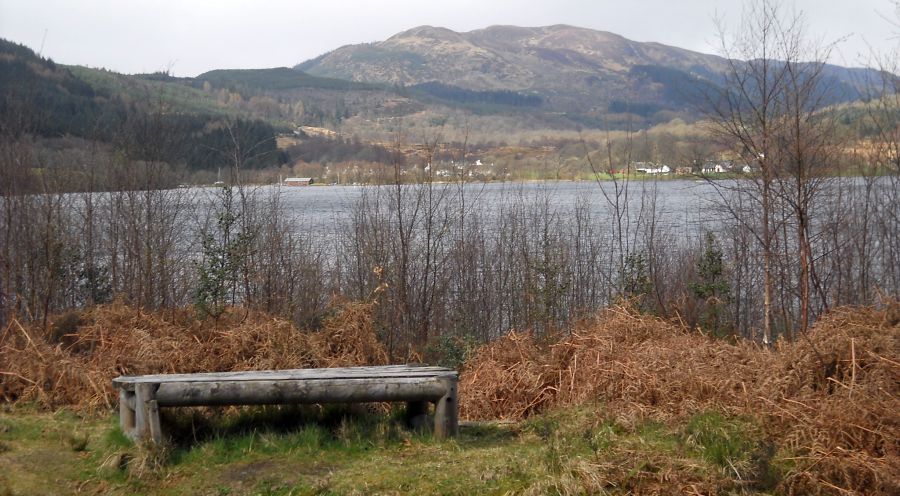 Kinlochard
at the head of Loch Ard |
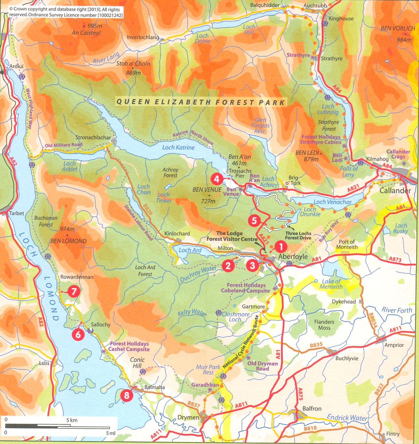
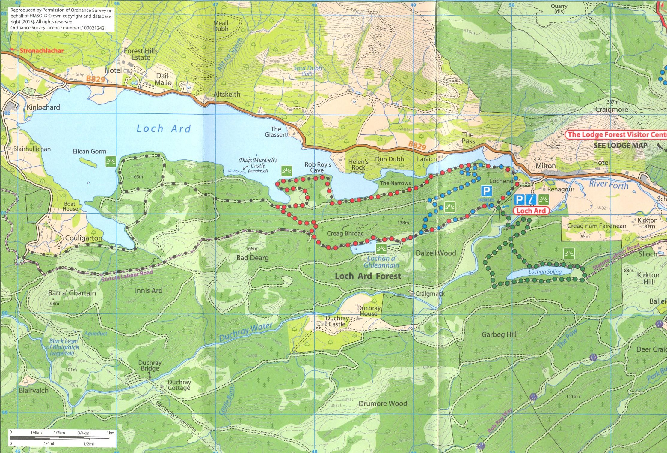 Map of
Loch Ard
( Note:- Click here or on above for large format copy ) |
 Map of
Loch Ard
|
 Loch
Ard info
|
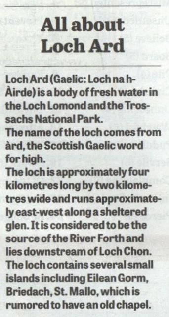
 Map of
the River Forth
|
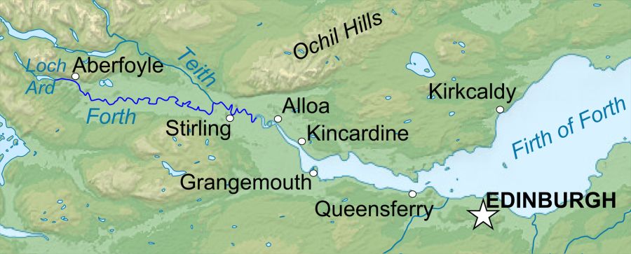
 Map of
Aberfoyle
and Craigmore
|
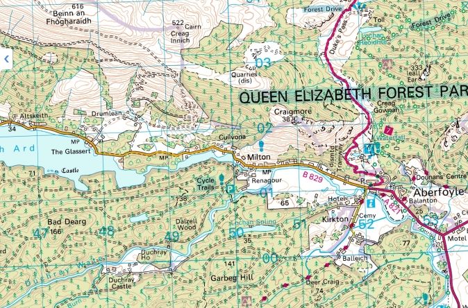
 Map of
Aberfoyle
and the Menteith
Hills
|
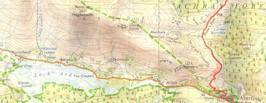
 Map of
Loch Lomond and Trossachs
area
( Note:- Click here or on above for large format copy ) |
LOCH ARD CIRCULAR WALK - ROUTE DESCRIPTION:
 :: Aberfoyle
& Menteith Hills Gallery
:: Aberfoyle
& Menteith Hills Gallery 
Glencoe | Ben Nevis | Knoydart | Isle of Skye | Isle of Arran
The Eastern Highlands | The Central Highlands | The Southern Highlands | The NW Highlands