|
The Trossachs Craigmore
|
  |
Photographs of an ascent of Craigmore
above Aberfoyle
in The Trossachs Region
of Scotland
| |
The Trossachs Craigmore
|
|
 |
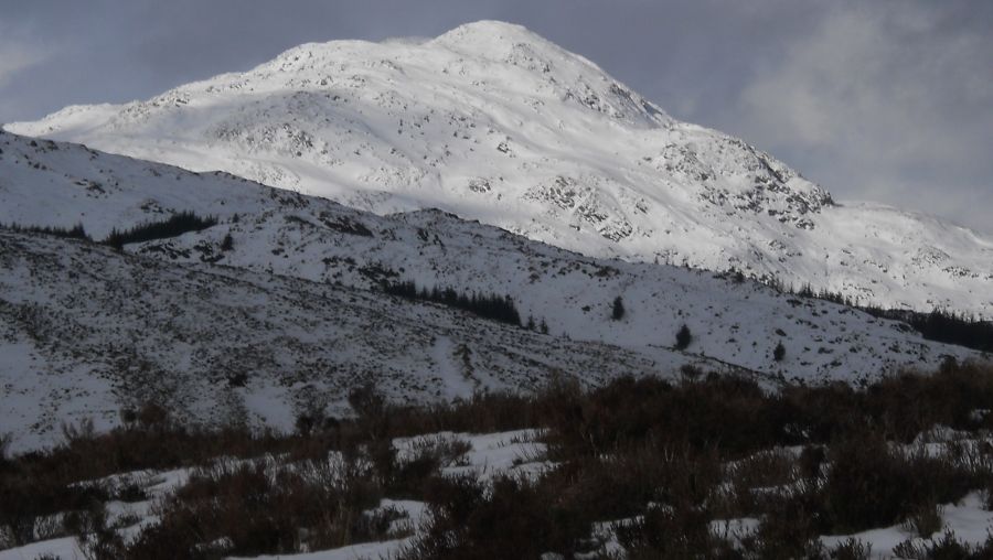
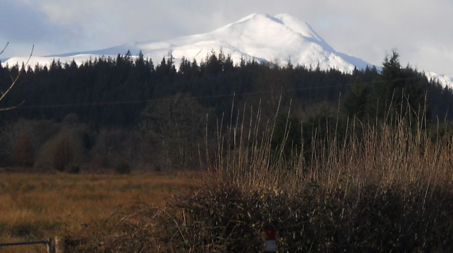 Ben
Lomond
from the outskirts of Aberfoyle |
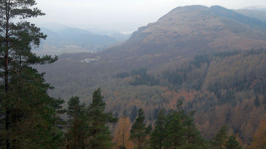
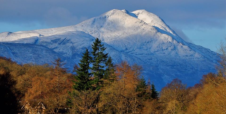 East
side of Ben Lomond
from Aberfoyle |
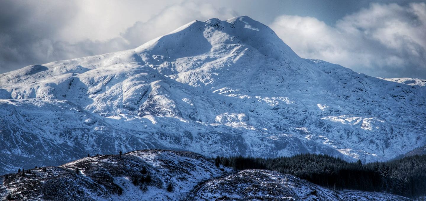
 East
side of Ben Lomond
from Aberfoyle |
 East
side of Ben Lomond
|
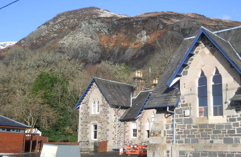 Craigmore above schoolhouse on outskirts of Aberfoyle |
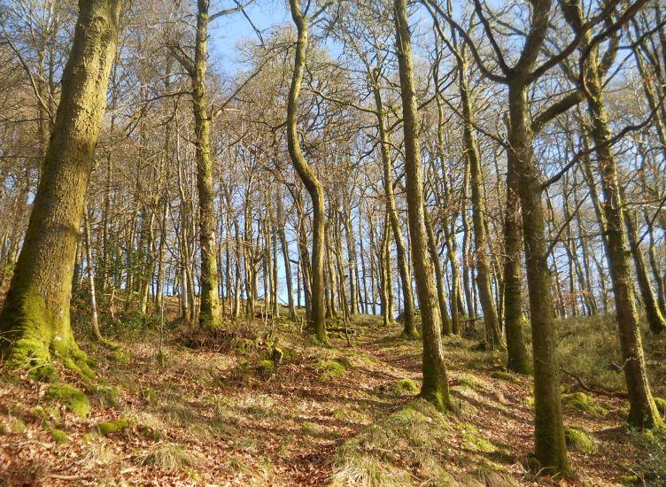 Forest
path to Craigmore
from outskirts of Aberfoyle |
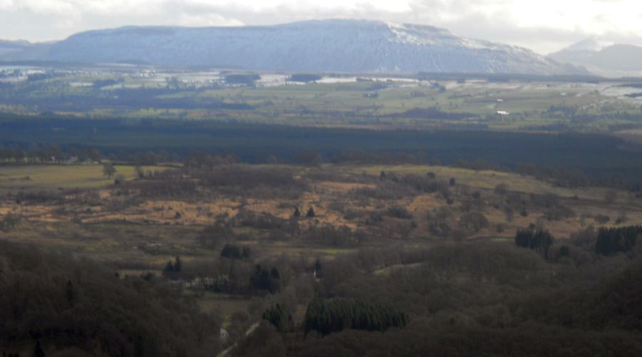 |
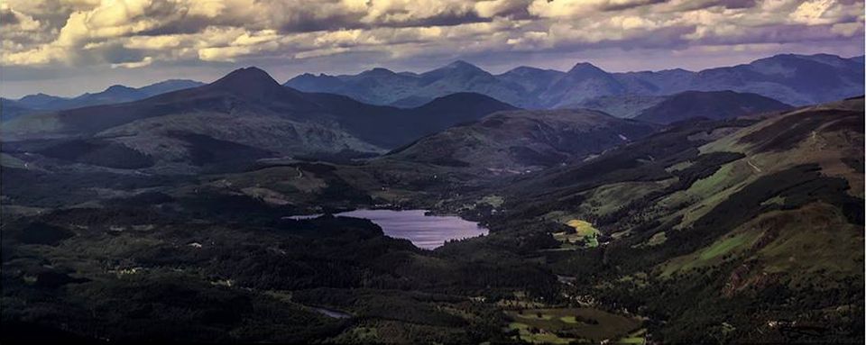
 Menteith
Hills
and Braeval Forest from Craigmore |
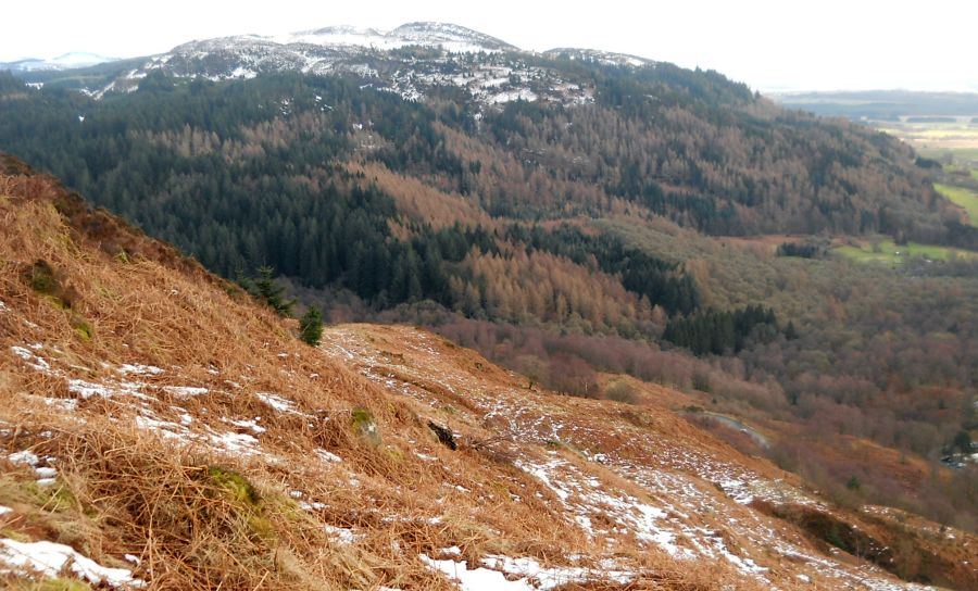
 Craigmore
from Menteith Hills |
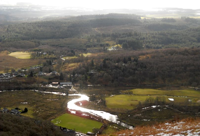 River
Forth
on outskirts of Aberfoyle from Craigmore |
 Loch
Ard
and Ben Lomond from Craigmore |
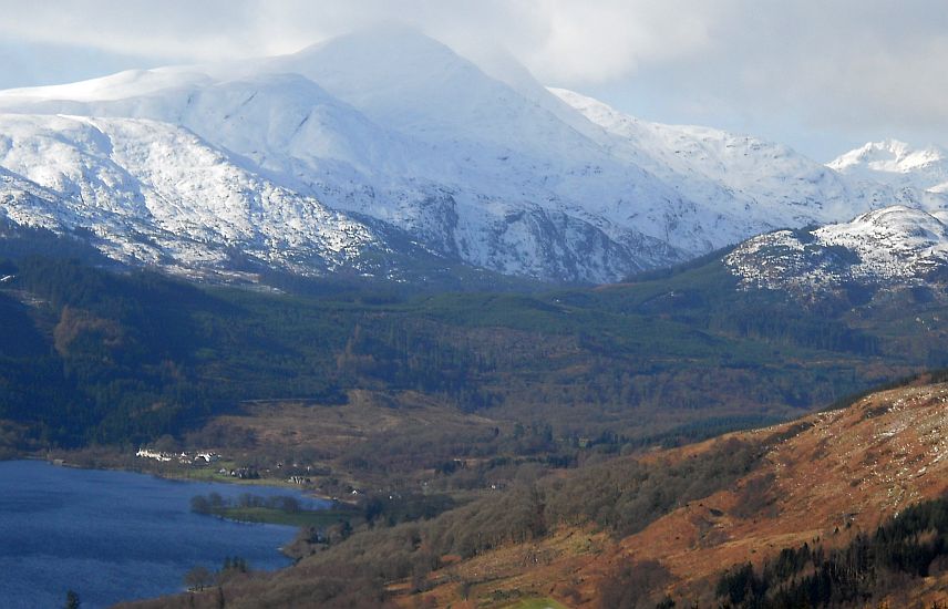 Loch
Ard
and Ben Lomond from Craigmore |
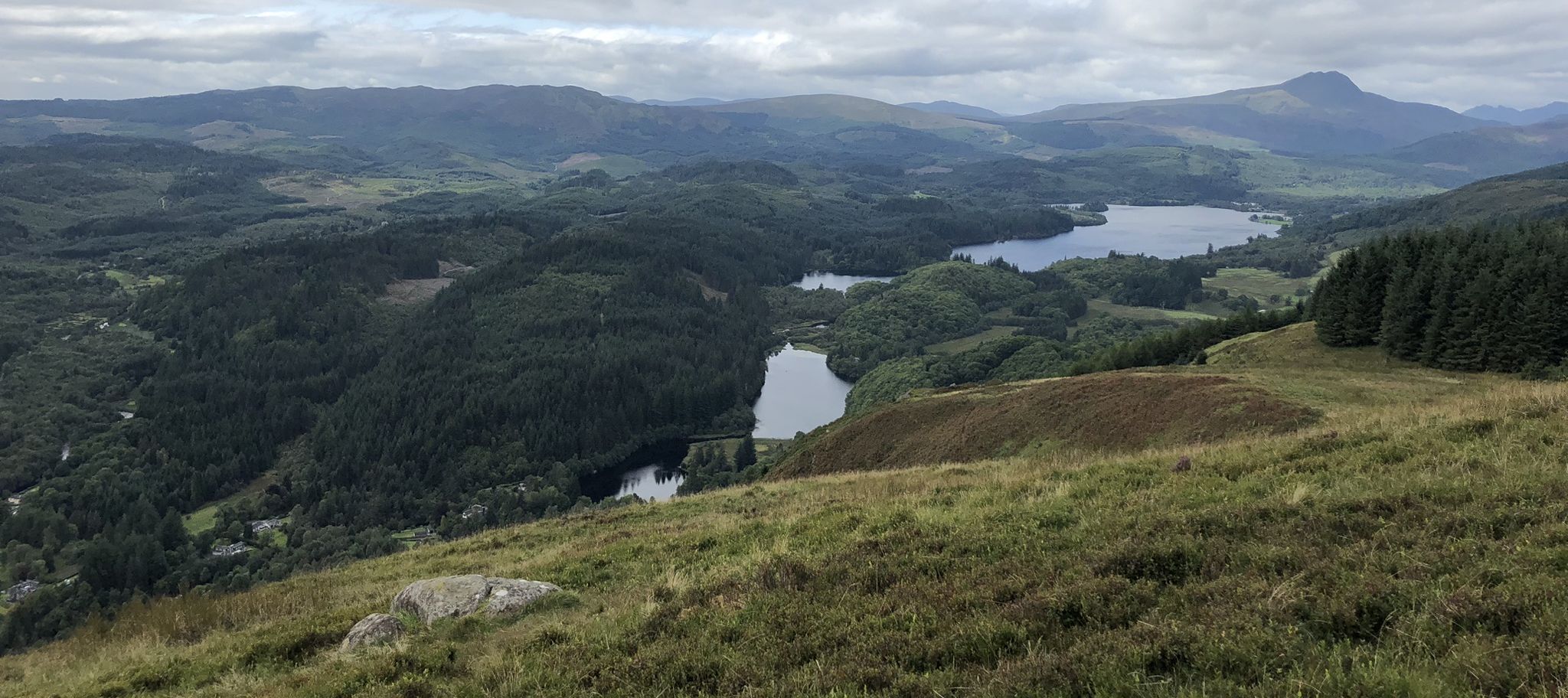 Loch
Ard
and Ben Lomond from Craigmore |
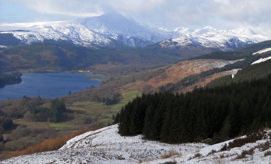
 Loch
Ard, Ben Lomond
and Arrochar Alps from Craigmore |
 Ben
Venue
from Craigmore |
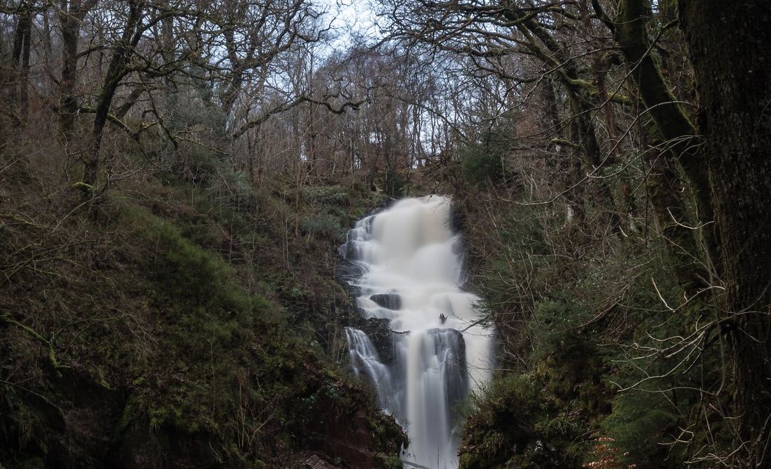
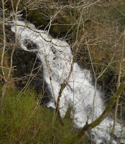 Waterfall
above Aberfoyle
on descent from Craigmore |
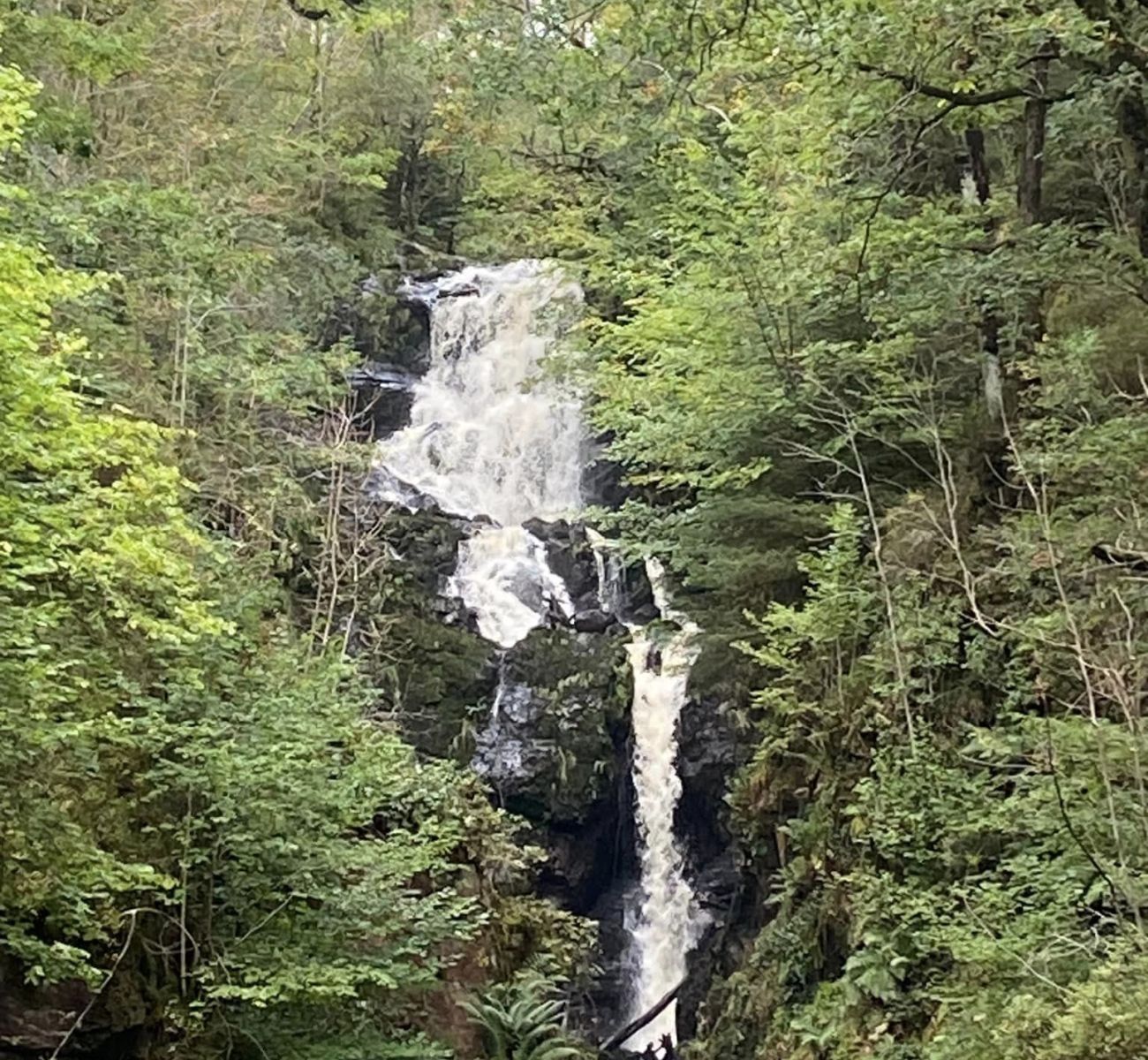
 Waterfall
above Aberfoyle
on descent from Craigmore |
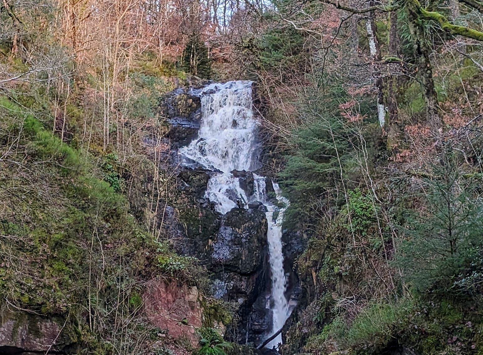
 Waterfall
above Aberfoyle
on descent from Craigmore |
 Waterfall
above Aberfoyle
on descent from Craigmore |
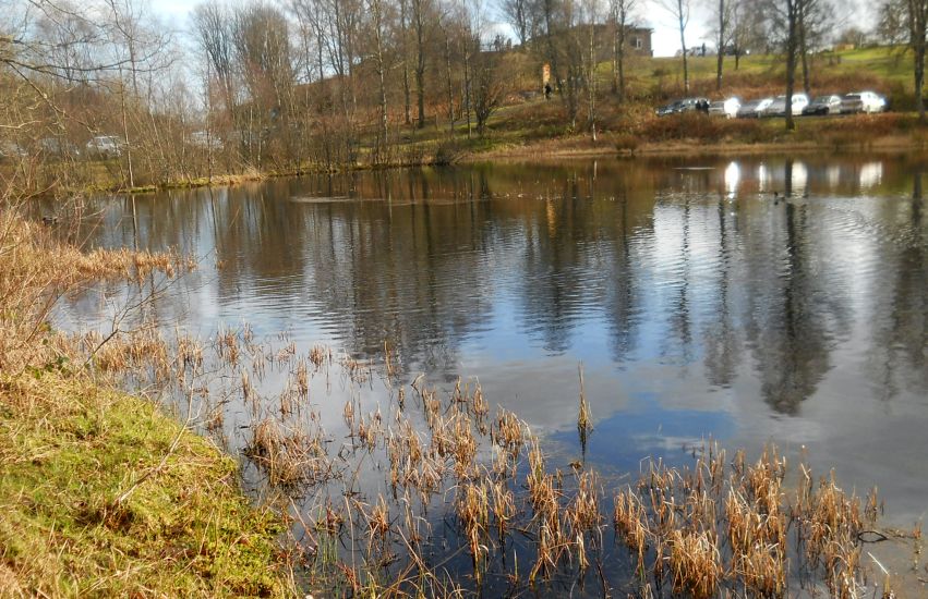 Duck
pond at Visitor Centre
above Aberfoyle |
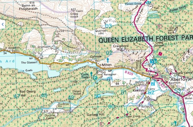 Map of
Aberfoyle
and Craigmore |
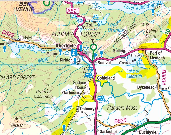 Map of
Aberfoyle
and the Menteith Hills |
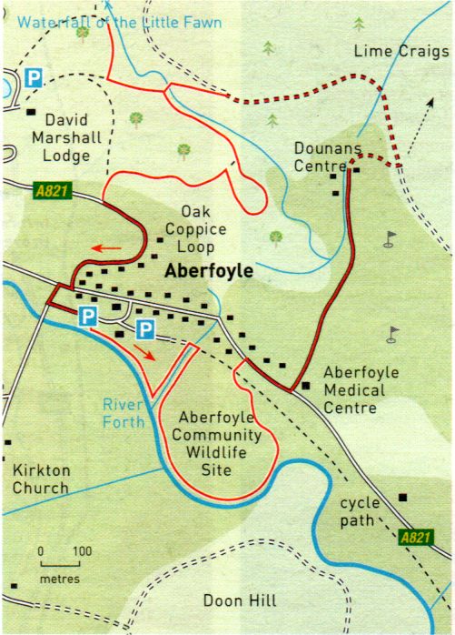 Map of
Aberfoyle Trails
|
ABERFOYLE WALK - ROUTE DESCRIPTION:
Start and finish: Aberfoyle car park
Distance: 4 miles ( 6.5km )
Time: 1 hour 65 minutes
Map: OS Landranger 57
Terrain: tracks and paths; some waymarks, muddy in places
Grade: easy
Surrounding Aberfoyle is a network of paths and forest roads which combine to form an interesting and varied walk, exploring some
unexpected nooks and crannies off the otherwise beaten track.
From the main car park follow the signposted Riverside Walk alongside the River Forth then alongside a burn to join the cyclepath, the line of the old railway.
Turn right, cross a bridge over the burn, then turn immediately right into the meadows of Aberfoyle Community Widlife Site.
A grassy path runs alongside the River Forth with good views hack to Craigmore, the David Marshall Lodge and Lime Craigs on the Highland Boundary Fault.
Go left where the path divides and cross over the hump of Rabbit Hill and the Cyclepath to reach the main road.
Turn right and head out of town on the pavement. Just before Aberfoyle Medical Centre turn left and follow the road towards Dounans Outdoor Centre.
This road is a right of way and leads through the centre towards the rear car park, where it becomes a track.
Follow this to a forest track and tum left.
Pass the waymarked path which branches off right to Lime Craigs, staying on the track as it skirts the grounds of the outdoor centre.
Just after an ornate green metal gate on the left, turn onto a path which heads off left into woodland at a blue waymark and follow it
below, but alongside, the track to a footbridge.
Continuing on the track leads to the same spot, but is less attractive.
Cross the footbridge and ascend to a signpost indicating the David Marshall Lodge to the right and Aberfoyle to the left.
Follow the path round to the right to view the fine waterfall of the Little Fawn.
Return to the signpost and follow a green Waymarked path south-east above the footbridge and the burn to a gate into the
Oak Coppice Loop. Here the path divides; turning right cuts off the loop, turning left takes in the loop.
Both routes lead to the exit gate where a path brings you round to another signpost indicating left to Aberfoyle and right to
the David Marshall Lodge. Turn left and follow the path to the road down into Aberfoyle.
 ::
Menteith Hills
Gallery
::
Menteith Hills
Gallery 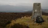
Glencoe | Ben Nevis | Knoydart | Isle of Skye | Isle of Arran
The Eastern Highlands | The Central Highlands | The Southern Highlands | The NW Highlands