  |
Livingston Almondell Country Park
|
 
|
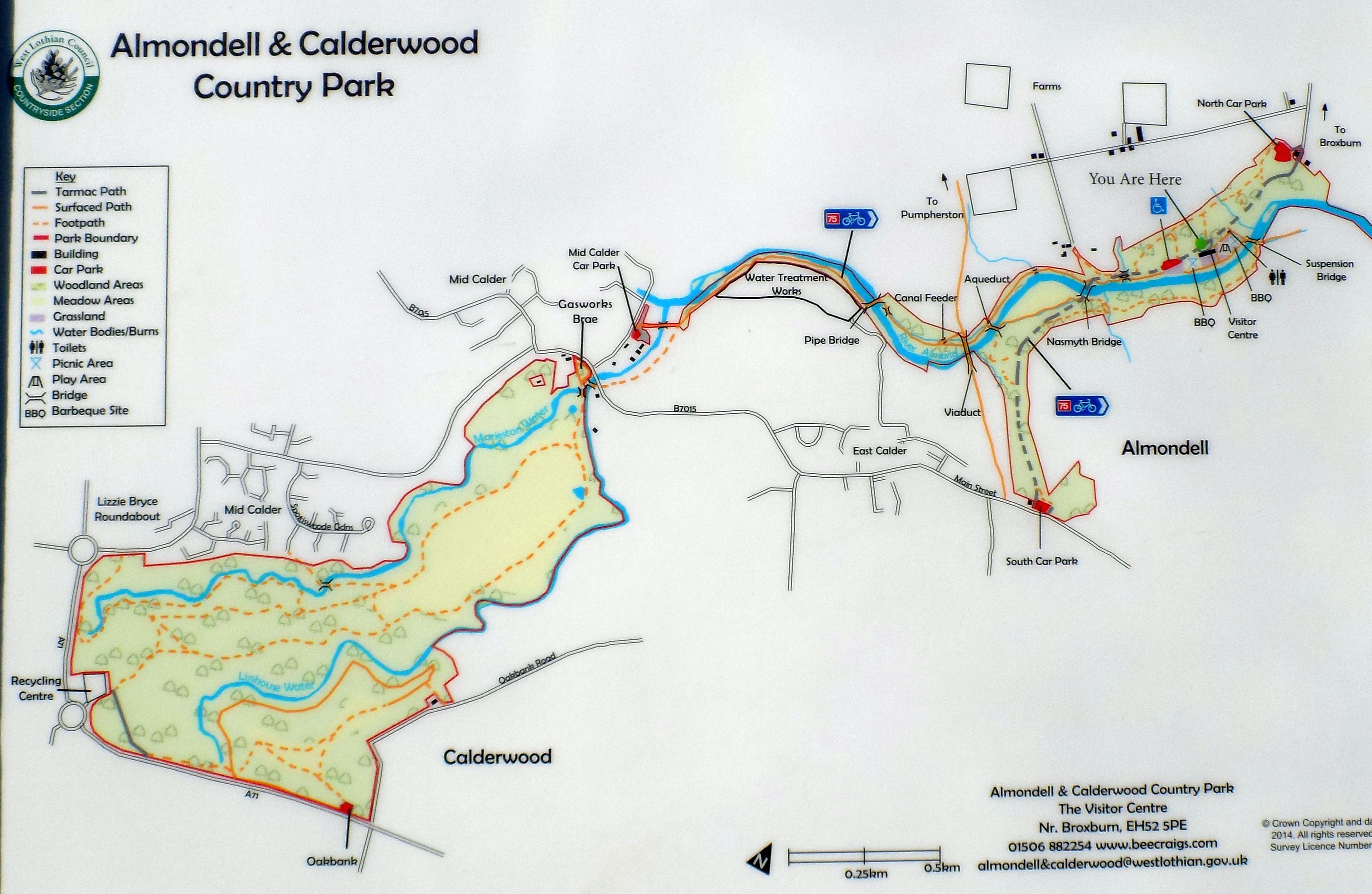
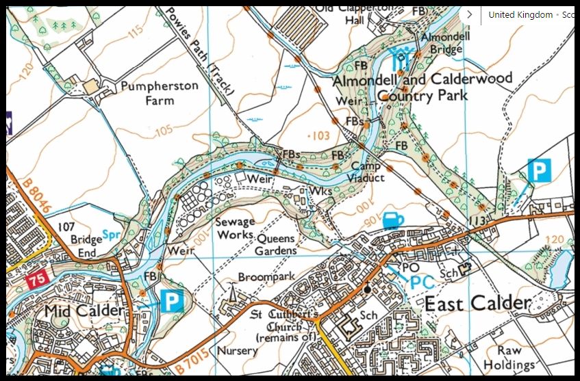
Map of Almondell and Calderwood Country Park ( Note: Click here or on above for large format copy ) |
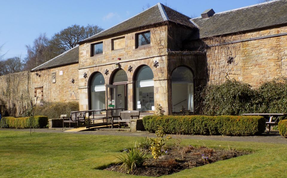 Visitor Centre at Almondell Country Park Almondell & Calderwood Country Park is secluded
in the valley of the River Almond
covering 220 acres between Broxburn and East Calder. Based around two adjoining estates ( Almondell at 97 acres and Calderwood at 130 acres ) and
with a history going back 340 million years to the time of the Carboniferous swamps, this area has much to offer its visitors. Left
undeveloped and unspoilt, Calderwood is a complete contrast to Almondell. This
natural woodland, located on a plateau bounded by the Linhouse and Murieston Waters, is
home to a wealth of wildlife. Roe deer, fox, heron and woodpecker all make their homes here, while the many oak and hazel trees provide food for the squirrels and wood mice. For this reason Calderwood has been designated a Site of Scientific Interest (SSSI). |
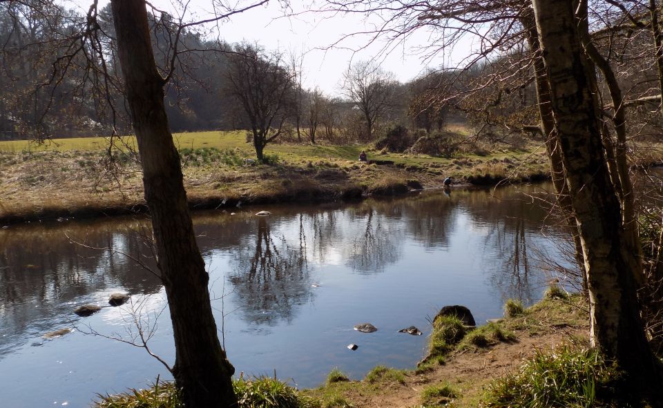
Almond River in Almondell Country Park |
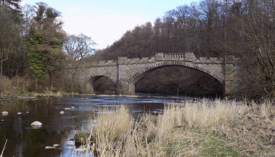
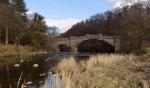
Bridge ( aqueduct )
over Almond River in Almondell Country Park |
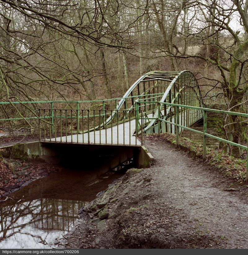
Bridge ( aqueduct )
over Almond River in Almondell Country Park |
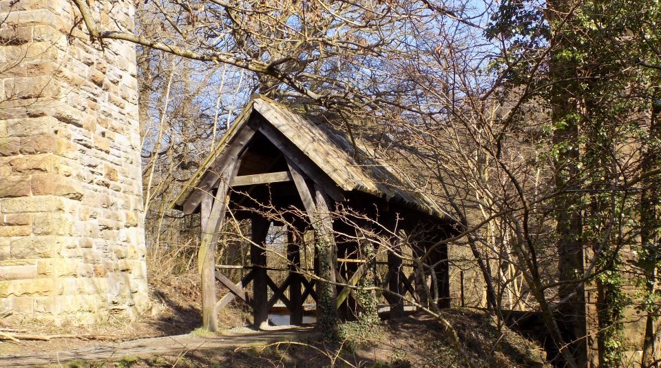
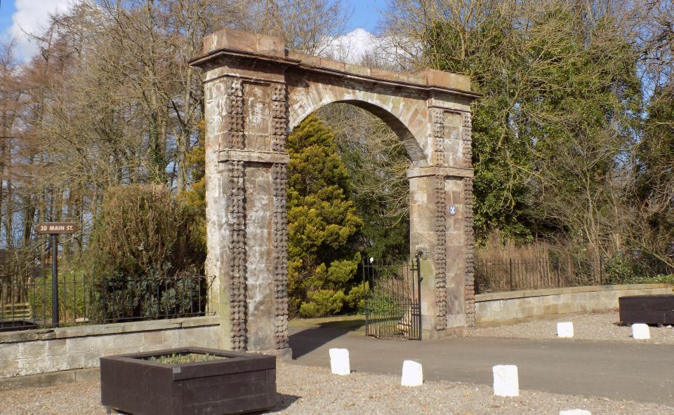
Archway in Almondell Country Park This rustic shelter sits below one of the arches of the Camps Viaduct in Almondell Country Park. When the viaduct was undergoing restoration work in 1997, concerns were raised that debris might fall on walkers using the path below. The shelter was built to offer a degree of protection against such incidents. It has remained in place since then. |
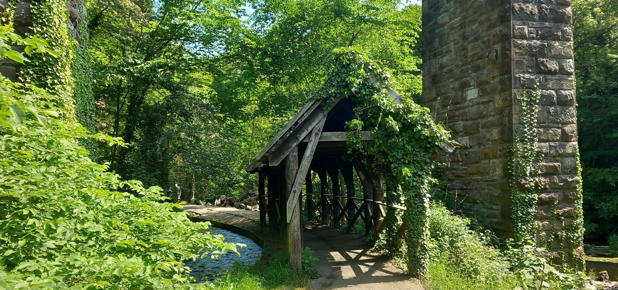
Archway in Almondell Country Park |
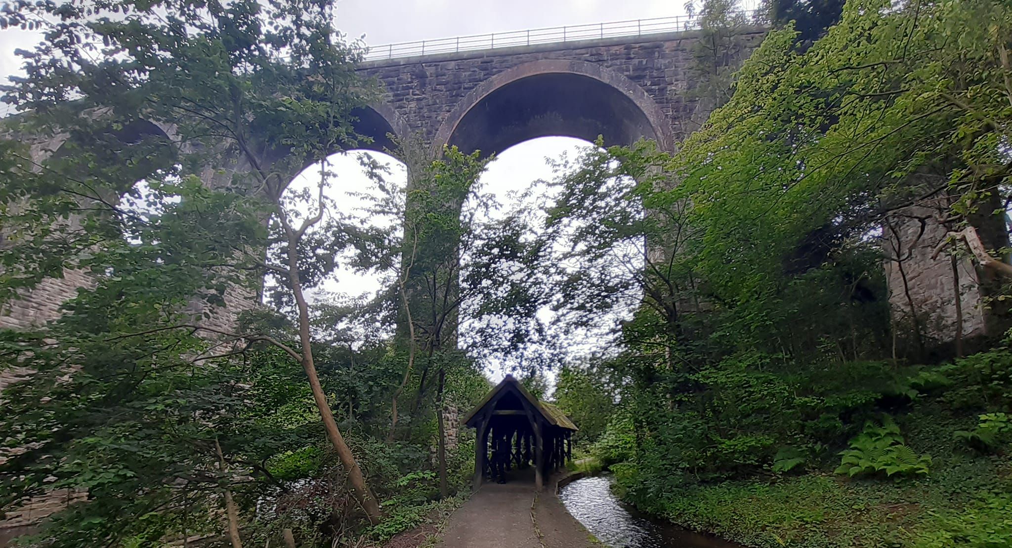
Viaduct over Almond
River in Almondell Country Park |
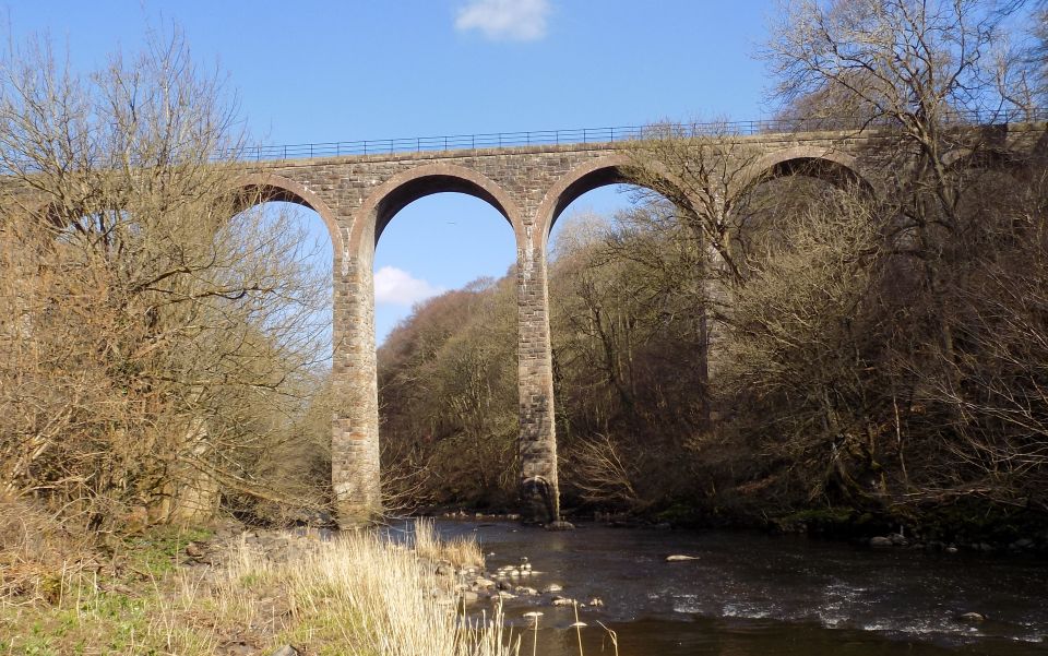
Viaduct over Almond River in Almondell Country Park |
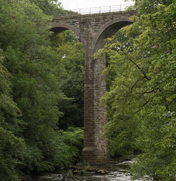
Viaduct over Almond River in Almondell Country Park |
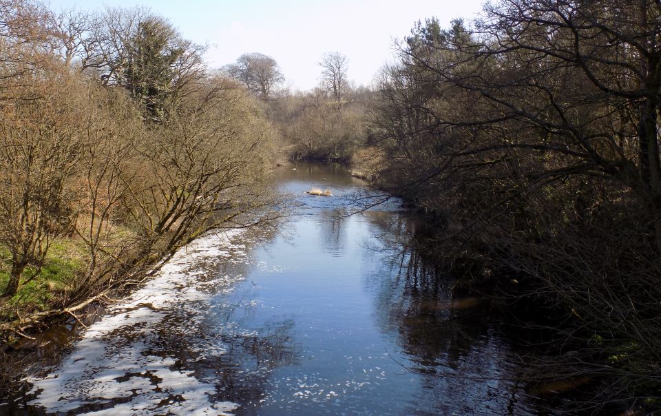 Almond
River in Almondell Country Park
|
 |
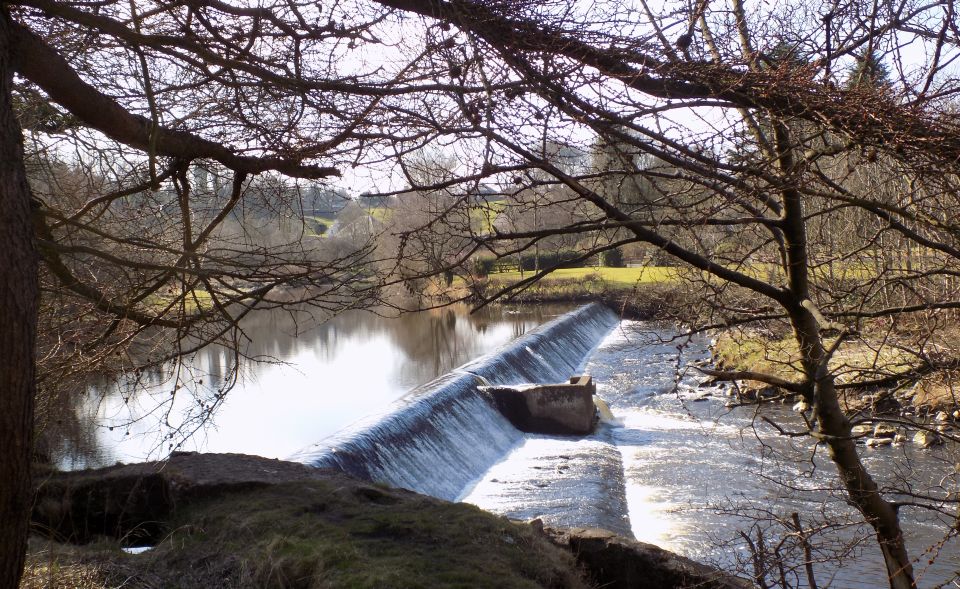 Weir
on River Avon
|
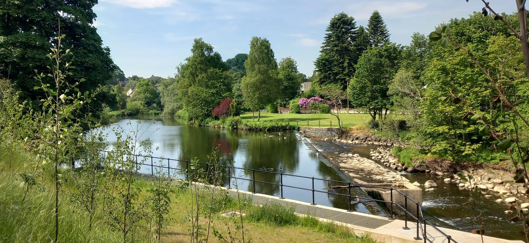 Weir
on River Avon
|
 Nasmyth
Bridge over River Avon
in Almondell Country Park |
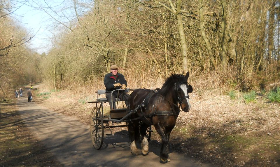 Drive
from South entrance to Almondell Country Park
|
 |
Map of Avondell Country Park |
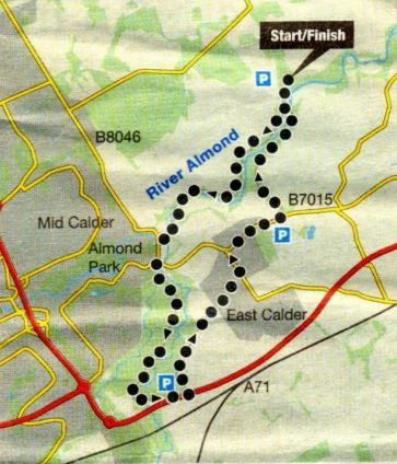
Route Map of walk around Avondell and Calderwood Country Park |
ALMONDELL & CALDERWOOD COUNTRY PARK - ROUTE DESCRIPTION:
Glencoe | Ben Nevis | Knoydart | Isle of Skye | Isle of Arran | The West Highland Way
The Eastern Highlands | The Central Highlands | The Southern Highlands | The NW Highlands