  |
Livingston Calderwood Country
Park
|
 
|
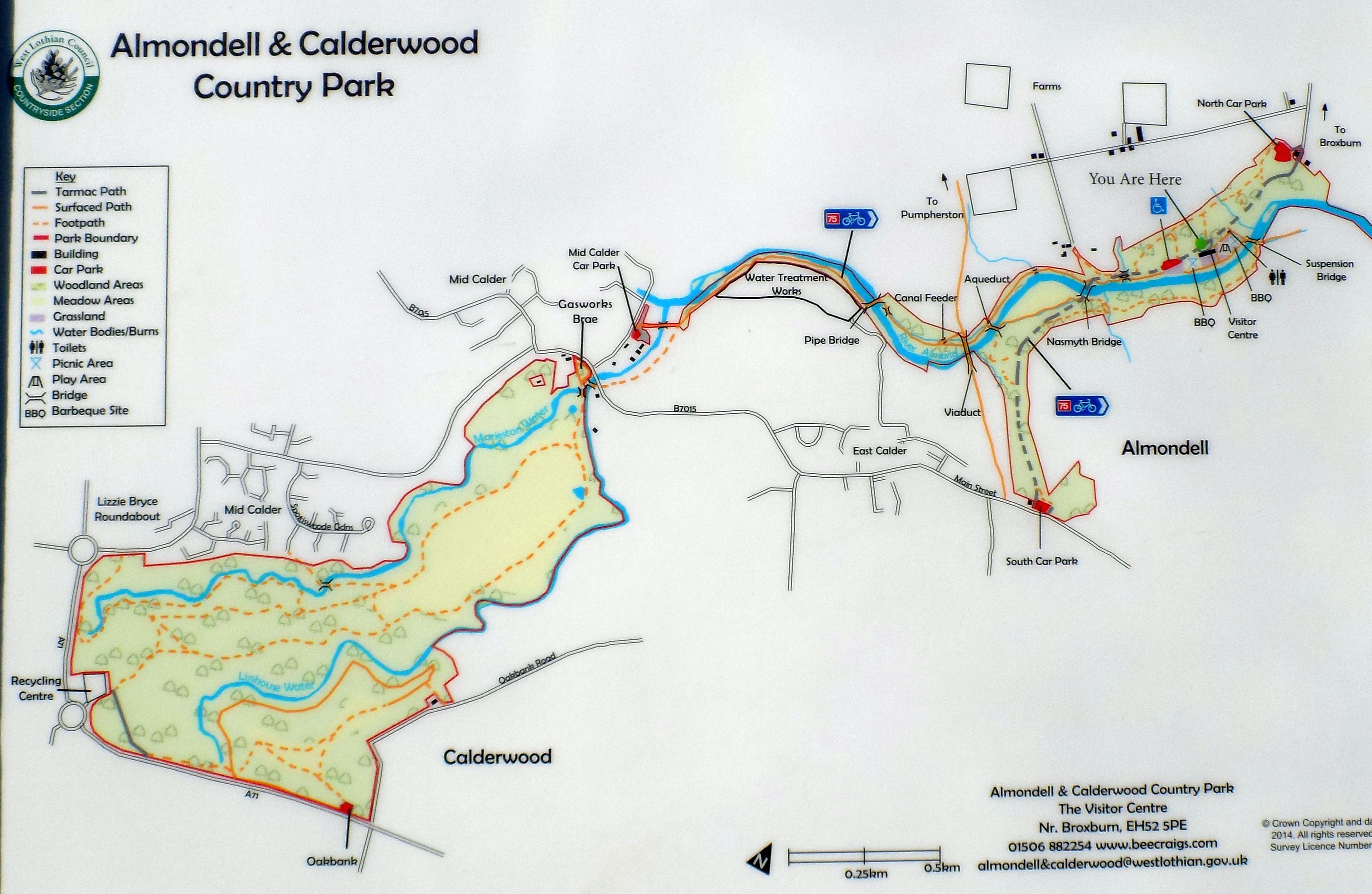
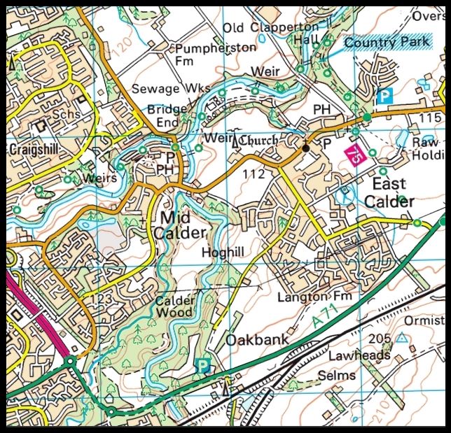
Map of Almondell and Calderwood Country Park ( Note: Click here or on above for large format copy ) Almondell & Calderwood Country Park
is tucked out of sight in the valley of the River Almond covering 220 acres between Broxburn and East Calder. Based
around two adjoining estates ( Almondell at 97 acres and Calderwood at 130 acres ) and with a history going back 340 million years to the time of the Carboniferous swamps, this area has much to offer its visitors. Left
undeveloped and unspoilt, Calderwood is a complete contrast to Almondell. This
natural woodland, located on a plateau bounded by the Linhouse and Murieston Waters, is home to a wealth of wildlife. Roe deer, fox, heron and woodpecker all make their homes here, while
the many oak and hazel trees provide food for the squirrels and wood mice. For this reason Calderwood has been designated a Site of Scientific Interest ( SSSI ). |
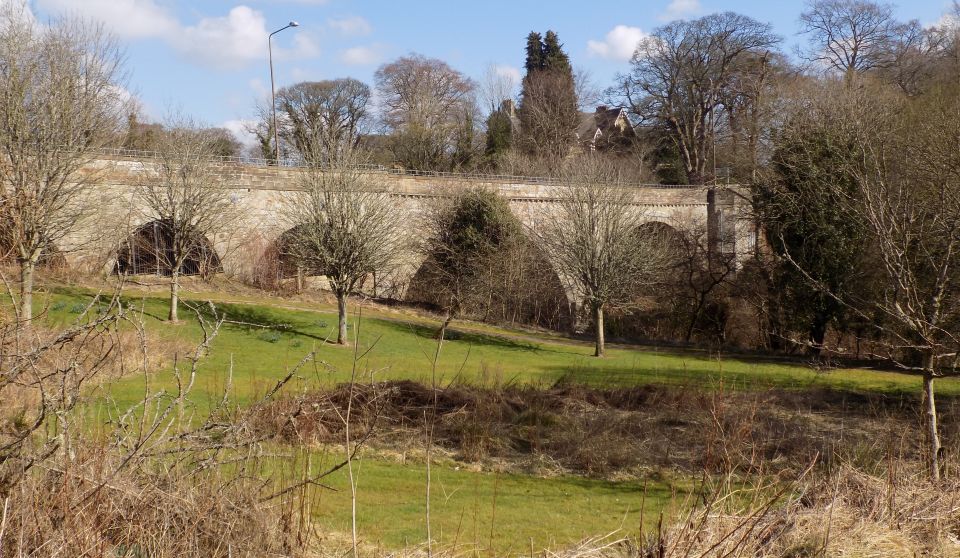
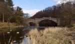
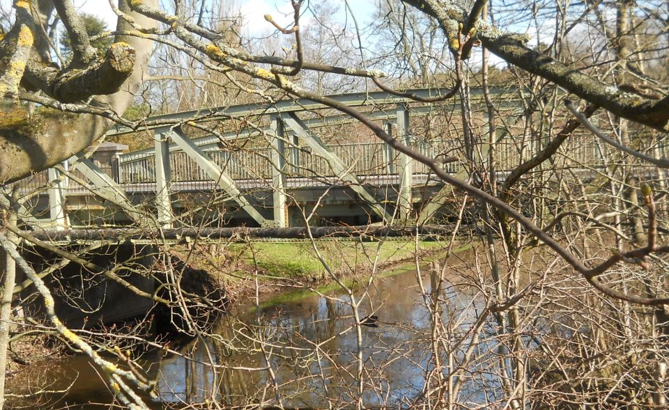 Bridge over the Almond River at Mid Calder at entrance to Almondell Country Park |
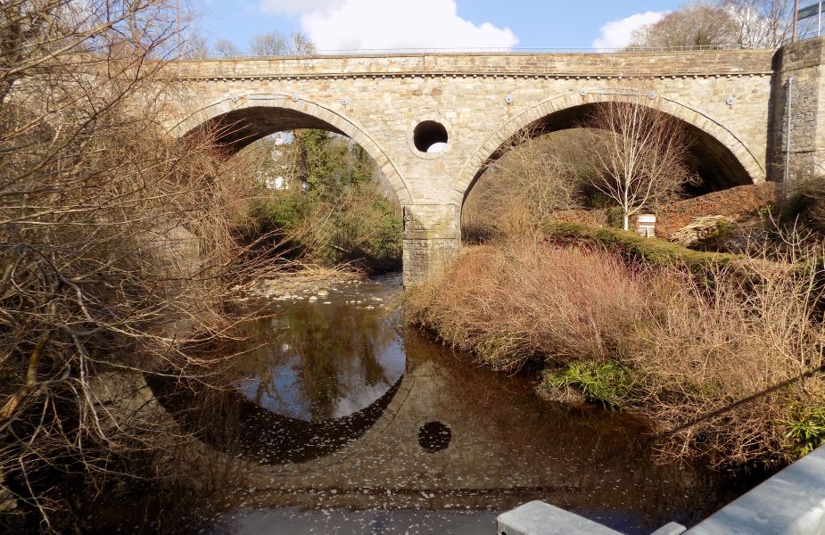
 Bridge over the Murieston Water
at Mid Calder from Calderwood Country Park |
Bridge
over the Murieston Water at Mid Calder from Calderwood Country Park |
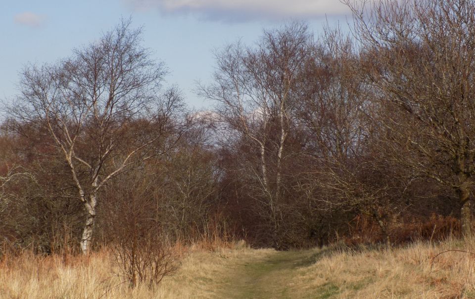
Calderwood Country Park |
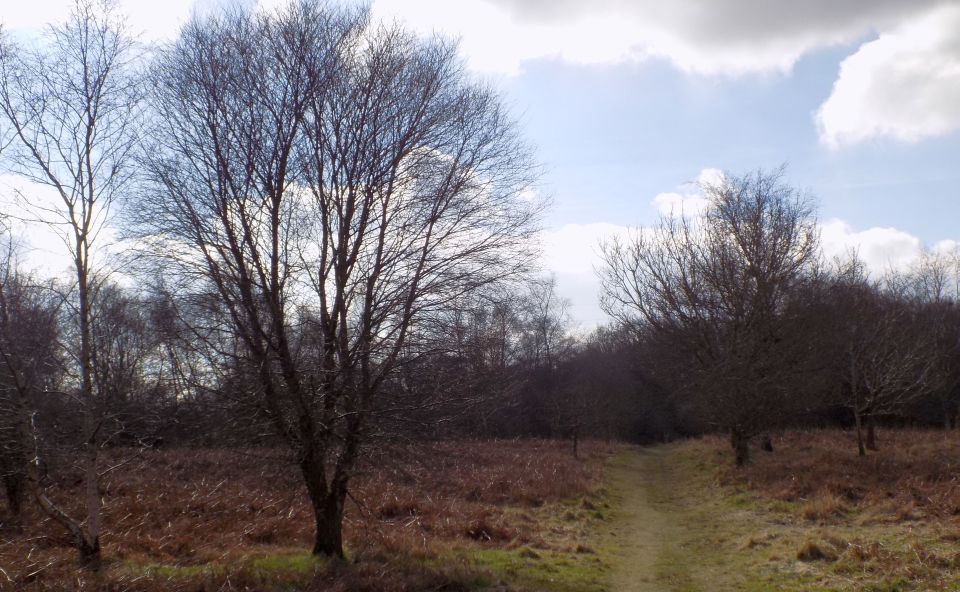
Calderwood
Country Park |
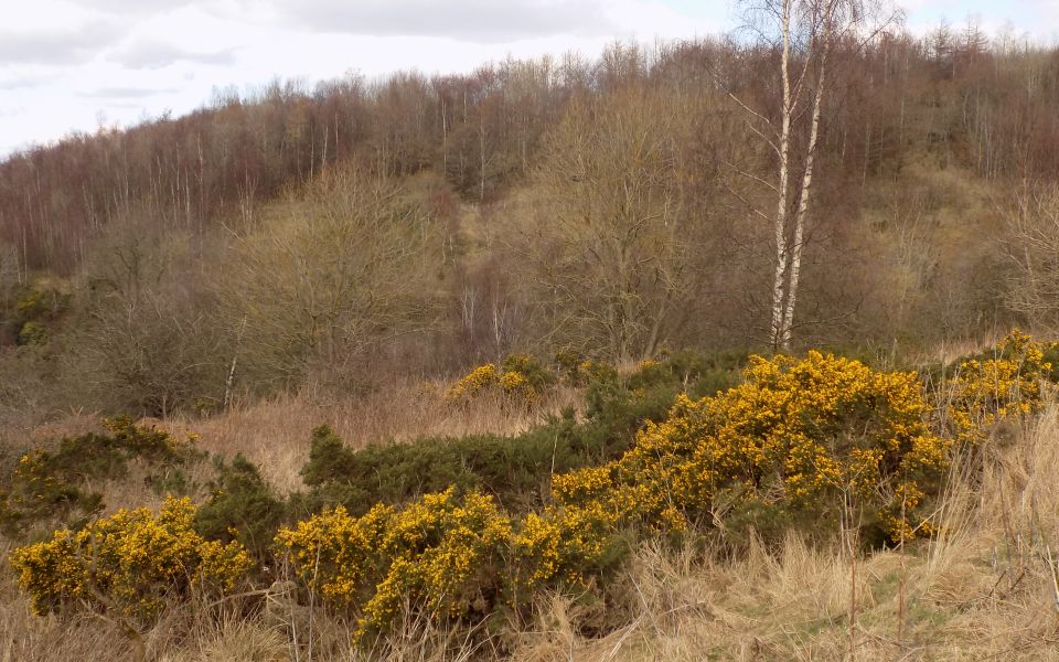 Broom
in Calderwood Country Park
|
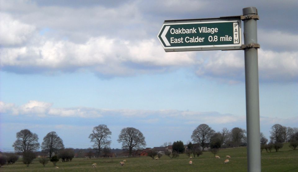 Signpost
to Oakbank and East Calder
|
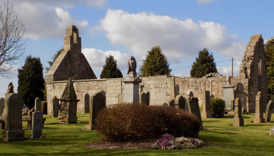 Ruins
of St.Cuthbert's
East Calder |
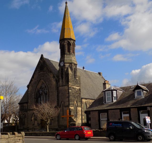 Church
in East Calder
|
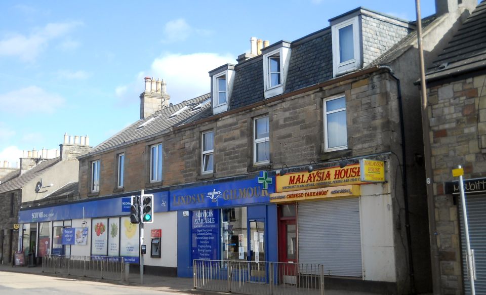 Shops
in East Calder
|
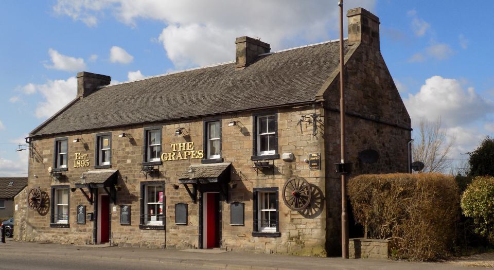 "The
Grapes" pub
in East Calder |
 |
Map of Calderwood Country Park |
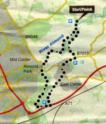
Route Map of walk around Avondell and Calderwood Country Park |
ALMONDELL & CALDERWOOD COUNTRY PARK - ROUTE DESCRIPTION:
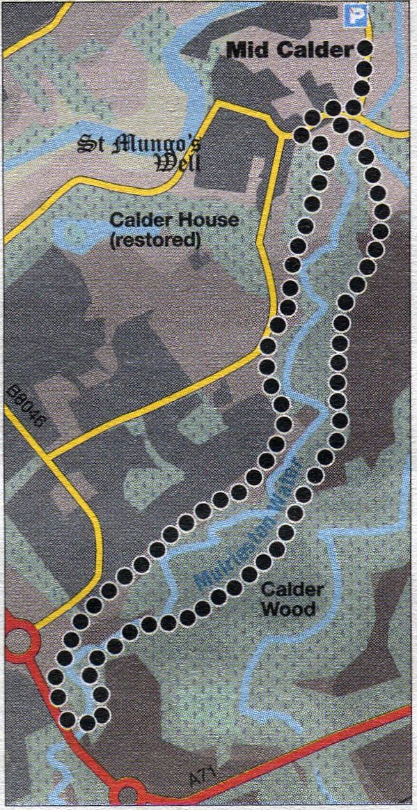
Route Map of walk around Mid Calder |
MID CALDER WALK - ROUTE DESCRIPTION:
Location: Mid Calder
Map: OS Landranger 65 ( GR077678 )
Distance: 4 miles ( 6km )
Time: 2 hours
Terrain: paths, waymarks and signs
Calderwood stands on the high ground above Mid Calder and the confluence of the Murieston and Linhouse waters.
Start from the small, unsignposted car park in Bank Street, Mid Calder, on the B8046 to Pumpherston at the village’s
east end before the bridge over the River Almond. Walk back to the main road, cross to the entrance to Almondell and
Calderwood Country Park and descend Gasworks Brae to two metal footbridges near the confluence of the Linhouse Water and Murieston Water.
Cross the right-hand bridge over the Murieston Water and continue to a fork at an information board.
A trail waymark indicates the green ( Birch ), yellow ( Hazel ) and black ( Oakbank ) trails.
Turn right and ascend the path into open grassland and woodland to gain the edge of the wooded gorge of the Murieston Water.
Pass Left below pylons and continue to another signboard at a four-way junction.
The path on the right leads to a footbridge over the Murieston Water.
Continue straight ahead on an initially less distinct path to another junction and keep left following green waymarks back
into the Woodland to another junction.
Turn right and continue through fine woodland with occasional waymarks.
Keep straight ahead at the next junction, descend to the Murieston Water and follow it to the A71 where the river has
formed a large pool before passing through the culvert below the road.
Cross over the culvert and ascend to a prepared path leading rightwards to housing.
Leave this for an earth path in the woodland behind the houses and follow it through a mixture of woodland and
scrubland to join a path ascending from the footbridge over the Murieston Water, mentioned earlier.
This is signposted Kirk O’ Calder and leads to a parallel tarmac path behind the houses where the tarmac path curves
left back towards Mid Calder primary school, go straight ahead on a clear earth path through scattered woodland
close to the road and the fence round the cemetery.
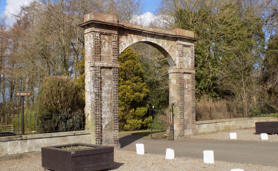
Continue ahead passing houses to gain the access track to Greenbank and descend this to exit on Mid Calder’s main
street at a small car park and pillar gateway. Turn right and follow the pavement back to Bank Street.
Glencoe | Ben Nevis | Knoydart | Isle of Skye | Isle of Arran | The West Highland Way
The Eastern Highlands | The Central Highlands | The Southern Highlands | The NW Highlands