  |
Scotland Walks Ayr River Way
|
 
|
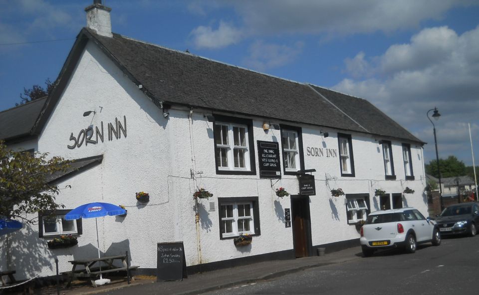
Sorn Inn |
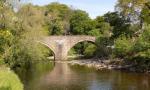
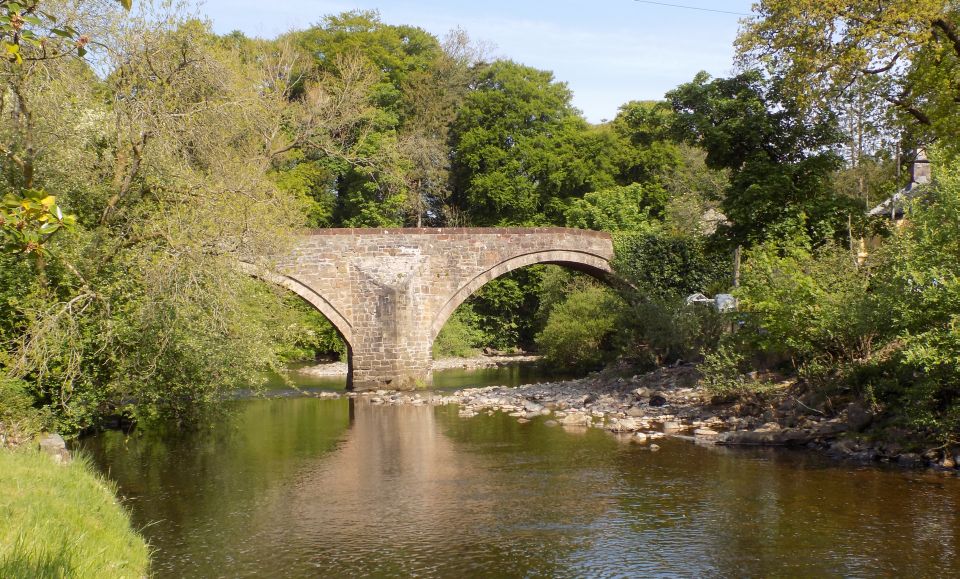 The Old Bridge over the River Ayr at Sorn |
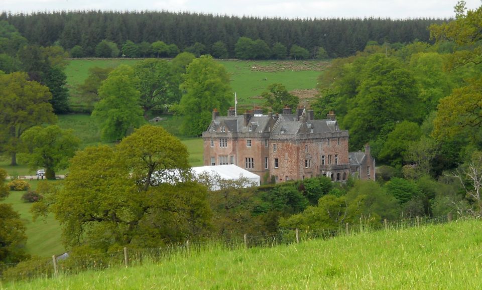
Sorn Castle from the Ayr River Way A medieval tower
house,
which has been extended over the years, and remodelled in the Scots Baronial style. The castle is a category "A" listed building |
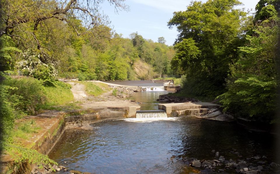
Weirs on River Ayr at Catrine |
 |
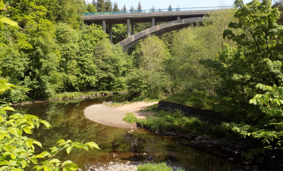 A76 Road Bridge
over the River Ayr |
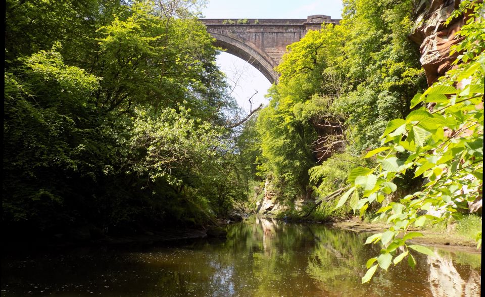 Ballochmyle Viaduct
over River Ayr near Mauchline The Viaduct is the highest extant railway viaduct in Britain at 169ft ( 52m ) At the time of its construction in 1848 it was the largest masonry arch in the world. The viaduct is a Category A listed building and a National Historic Civil Engineering Landmark |
Countryside between Haugh Farm and Mauchline |
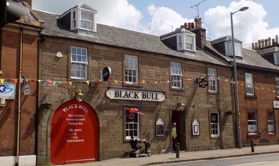
Black Bull Hotel in Mauchline |
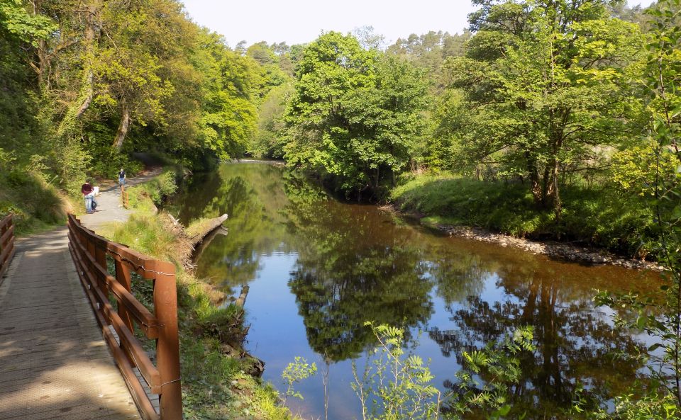
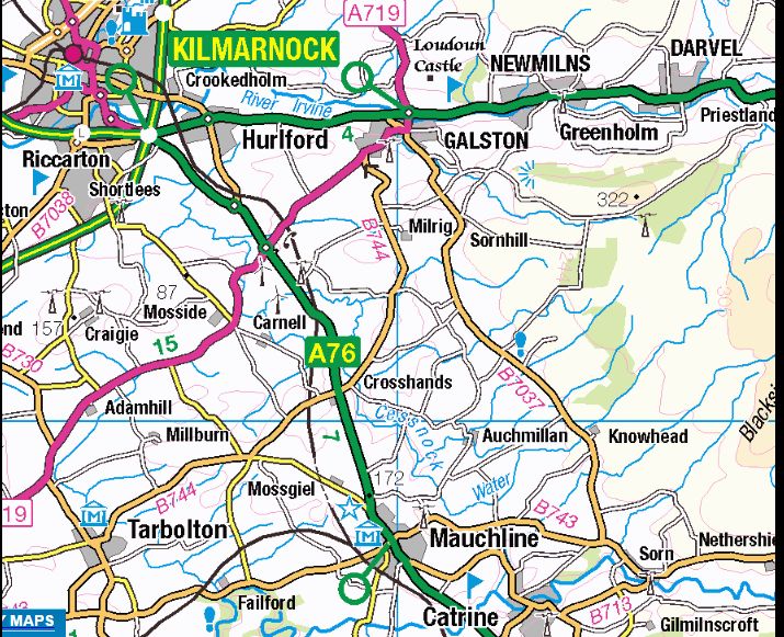
THE RIVER AYR WAY:
From its source to the sea, the River Ayr Way meanders through history and heritage, lovely landscapes and vibrant communities.
This 66-kilometre ( 44-mile ) path begins at Glenbuck Loch and ends where the town of Ayr meets the Atlantic Ocean, taking in
some of Ayrshire’s most interesting places along the way.
The idea for the route — the first of its kind in Scotland - arose from the £2.5m Coalfield Access Project in 2006 which had Ayrshire’s
mining past and the area’s regeneration of former coalfields at its heart.
More than 140,000 people from all over the globe use the River Ayr Way each year, taking advantage of the chance to wander off the
beaten track and explore the great outdoors.
Most people know Ayrshire for its craggy coastlines, its castles and its connections to Scotland’s famous poet Robert Burns.
The River Ayr Way allows visitors to expand those horizons, incorporating some of the area’s lesser-known but
equally intriguing attractions and exciting experiences. ( There are castles too, of course, and more than a smattering of Burns, who is
said to have been inspired by its scenery ).
From Glenbuck Loch — which was, in fact, created by the owners of the Catrine Mill in 1802 to store water, the river skirts Airds
Moss, once home to a noisy, busy ironworks and now a much more peaceful RSPB haven for curlews and skylarks, dragonflies and
more. This area is rich in Covenanters’ history too — in 1680, the battle of Airds Moss was fought between the Covenanters and the King’s men.
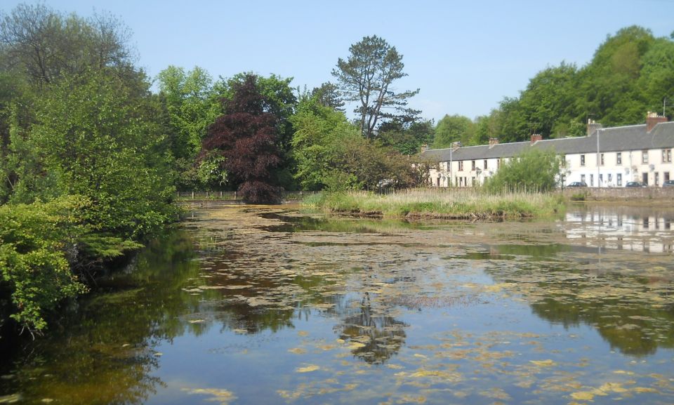
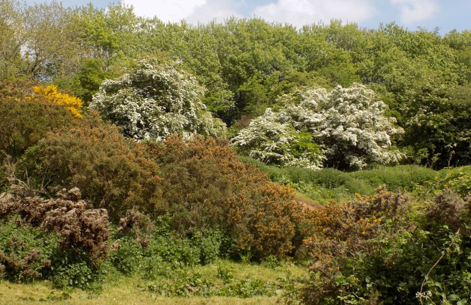
The river flows on through the pretty village of Sorn, where there were once four water-powered mills — just some of the
many mills on the river during its industrial heyday; Sorn Castle — a 14th century keep -where it is said King James VI visited to
attend a marriage in 1598 - is now a luxury wedding venue, standing on a sandstone cliff high above the river.
Beyond Catrine, the river cuts a deep gorge through the sandstone. Here, the Ballochmyle viaduct was built in the 1840s
for the Glasgow, Paisley, Kilmarnock and Ayr Railway Company. It is the world’s longest masonry railway arch at 181 feet and
when complete in 1848, it was considered one of the greatest engineering achievements of its time. ( It also featured in the Tom
Cruise film Mission Impossible. )
Claud Alexander made his fortune as Paymaster General of the East India Company’s troops in Bengal. He returned to
Scotland and bought Ballochmyle Estate. When Robert Burns spotted Claud's younger sister, Wilhelmina, walking by the
banks of the river Ayr, he immortalised her in the poem, ‘The Bonny Lass O’ Ballochmyle’.
Burns sent a copy to Miss Alexander, asking permission to publish it and while she did not reply, legend has it she treasured both
letter and poem all her days.
Fascinating snippets of history pop up along the whole length of The River Ayr Way.
At Haugh, a small hamlet on the north bank of the river, Andrew Kay started producing curling stones from Ailsa Craig granite in the
1860s, and the company is still in existence. Now in Mauchline it supplies stones for the Winter Olympics and players around the world.
At Ballochmyle, carved into an unusual face of hard sandstone are Cup and Ring Markings ‘dating back to between
the Neolithic, and early Bronze Age; and at Auchincruive, a cairn on the south bank commemorates both William Wallace, who
hid here aftera violent encounter with English forces in the late 12th century, and Robert Burns, who walked to Leglen Wood
in Wallace’s memory 500 years later.
The River Ayr has inspired Burns, protected Wallace and played its part in the industrial revolution - now, thanks to this impressive trail,
it is providing new experiences for those looking to reconnect with nature, explore history and have a relaxing day out.
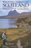
Glencoe | Ben Nevis | Knoydart | Isle of Skye | Isle of Arran | The West Highland Way
The Eastern Highlands | The Central Highlands | The Southern Highlands | The NW Highlands