|
The Trossachs Loch
Arklet
|
  |
Photographs of the walking route
along the old military road
from Stronachlachar on Loch Katrine
alongside Loch Arklet to Inversnaid
on Loch Lomond
in the Trossachs Region of Scotland
| |
The Trossachs Loch
Arklet
|
|
 |
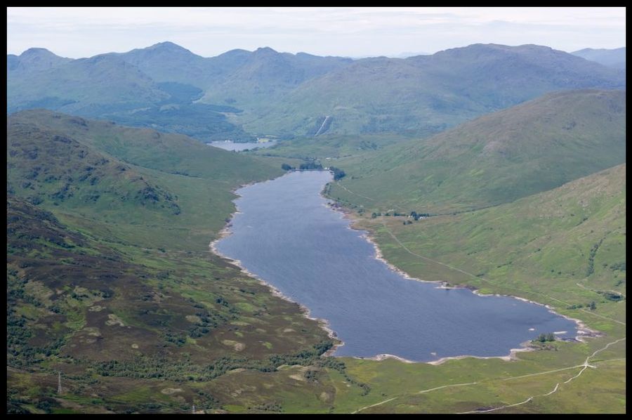
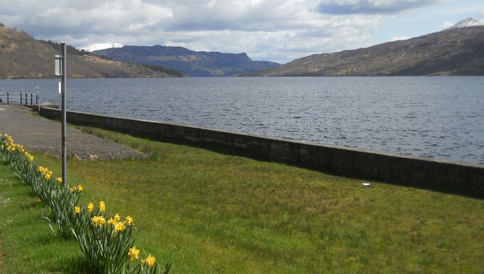 Loch
Katrine
at Stronachlachar |
 |
 |
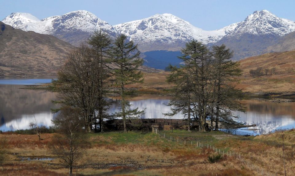
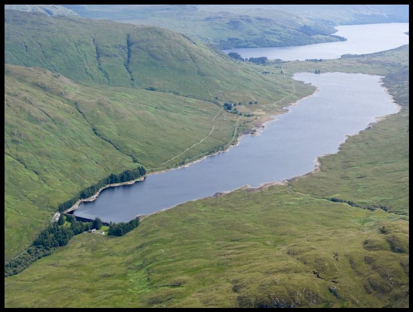
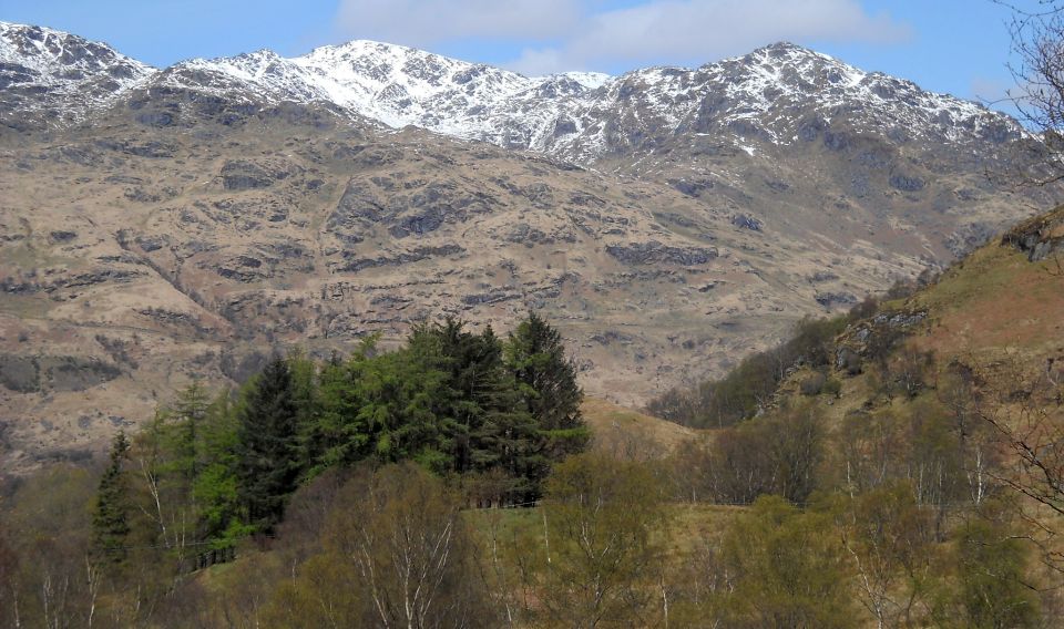
 Arrochar Alps
beyond Loch Arklet |
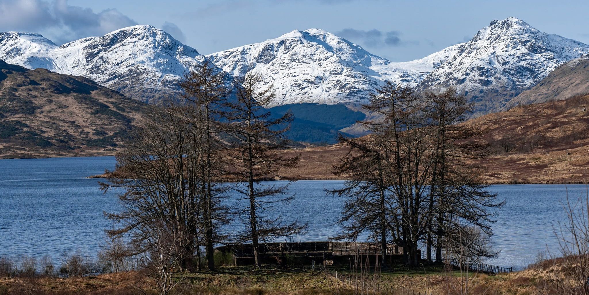
 Arrochar Alps
beyond Loch Arklet |
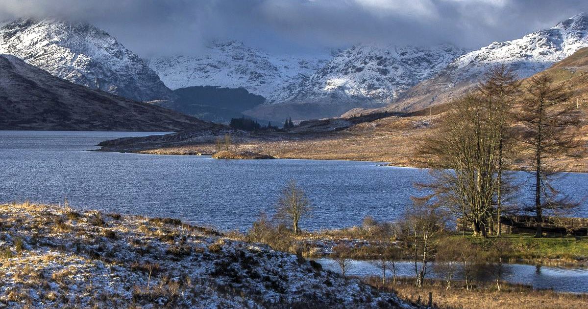
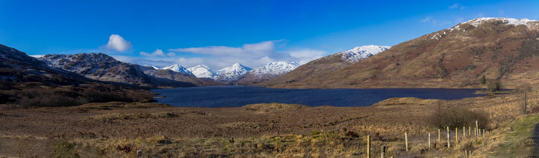 Arrochar Alps
beyond Loch Arklet |
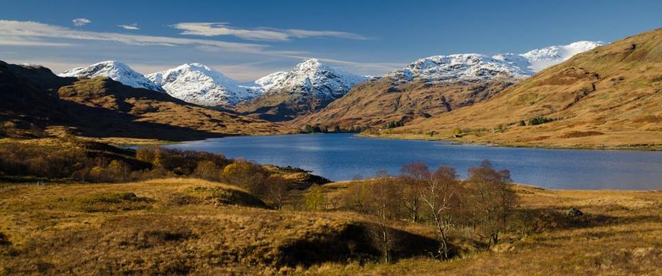
 Arrochar Alps
beyond Loch Arklet |
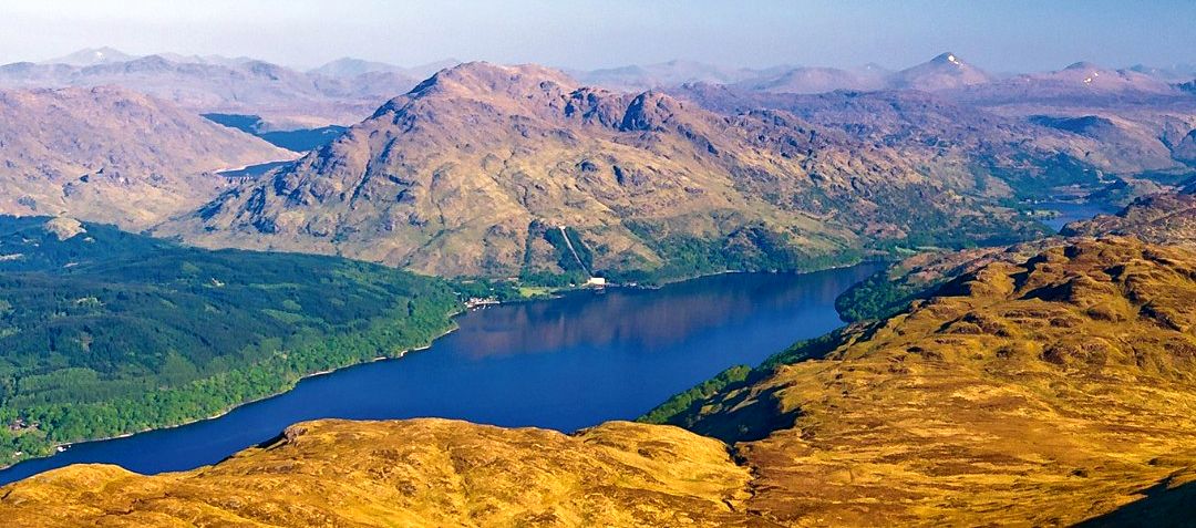
 Arrochar Alps
and Loch Lomond beyond Loch Arklet |
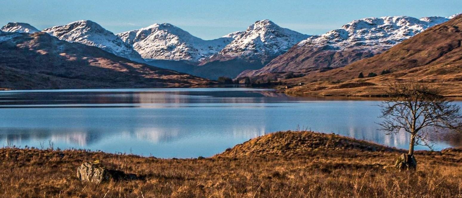
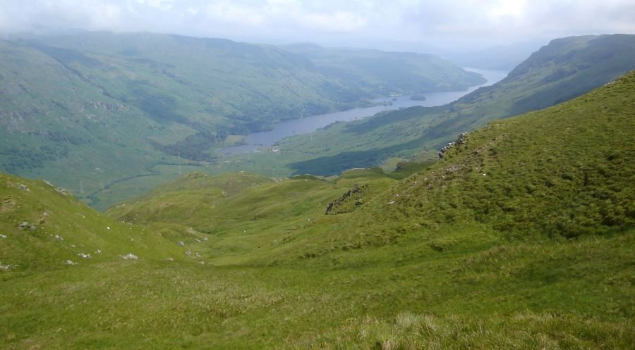
 Loch Katrine beyond Loch Arklet |
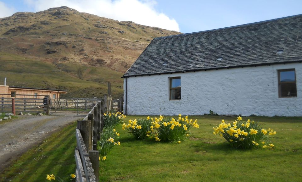
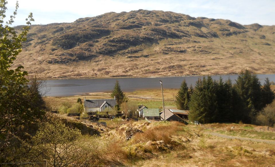 Farm
at Corriearklet
on Loch Arklet |
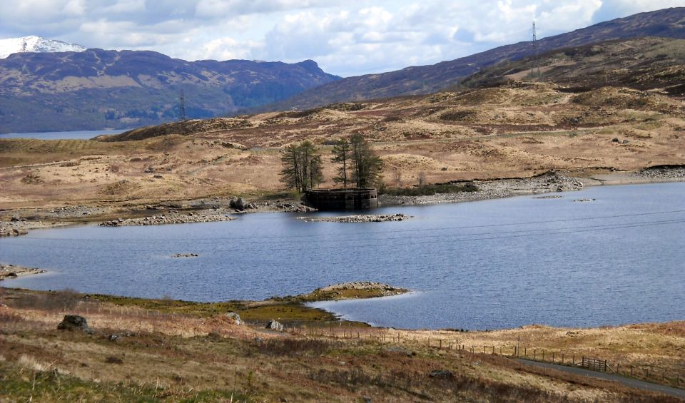
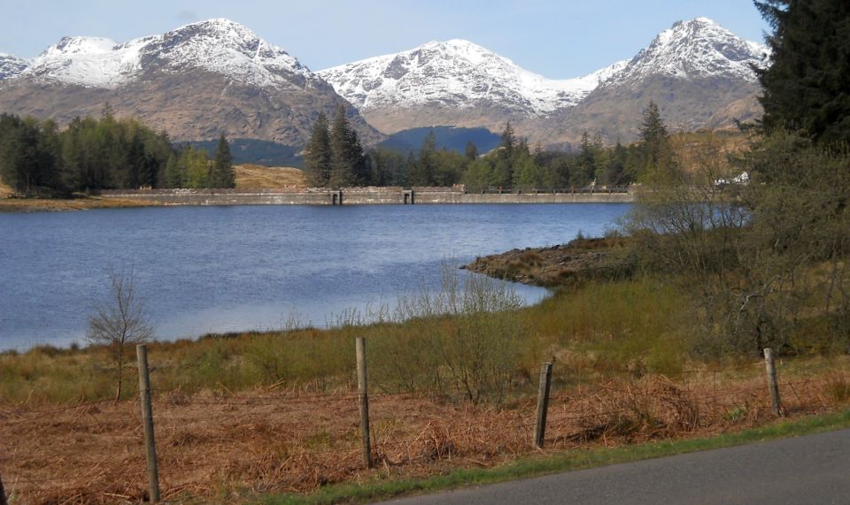 Arrochar Alps
( Beinn Narnain, Beinn Ime and Ben Vane ) above the Dam on Loch Arklet |
 Loch
Katrine
beyond Loch Arklet |
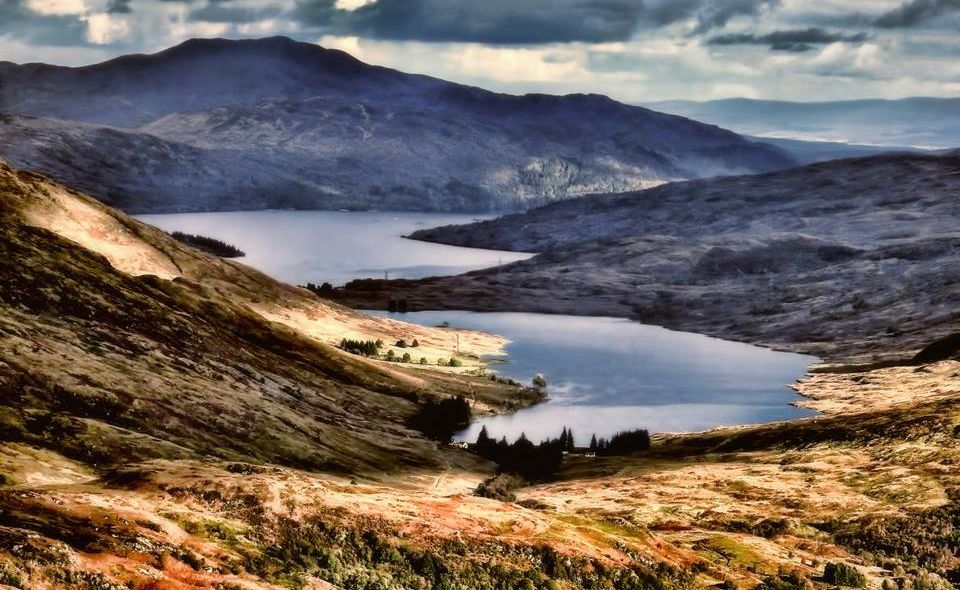 Loch
Arklet,
Loch Katrine and Ben Ledi from Ben Vane |
 |
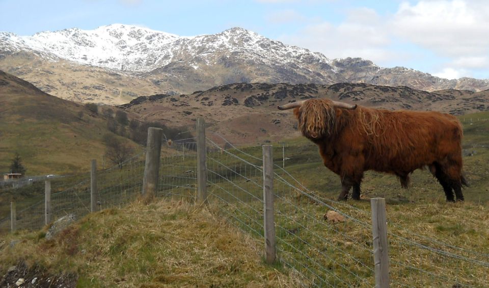 Ben
Vorlich
and Highland Bull |
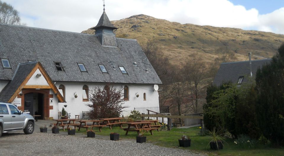
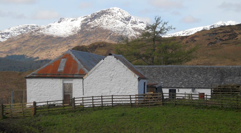 Garrison
Farm in Glen Arklet
On the site of the former Garrison Fort ( b1720 ) to house 100 government redcoats stationed there to prevent a further uprising after the 1715 rebellion and to suppress the cattle raiding of Rob Roy Macgregor |
 |
 |
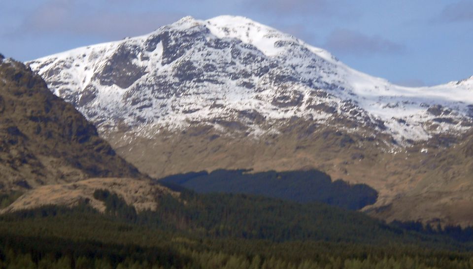
 Ben Vorlich
above Loch Lomond |
|
 |
 |
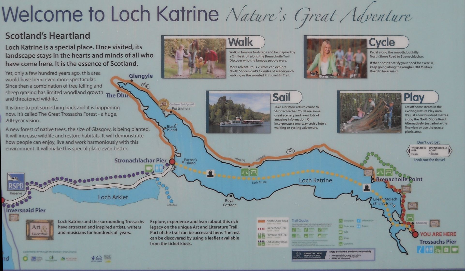 Map
of Loch Katrine and
Loch Arklet
( Note:- Click here or on above for large format copy ) |
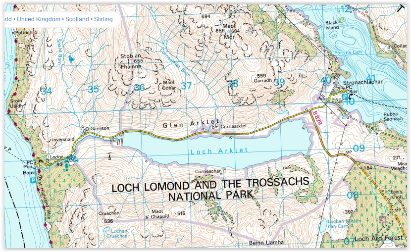 Map of
Loch Arklet
|
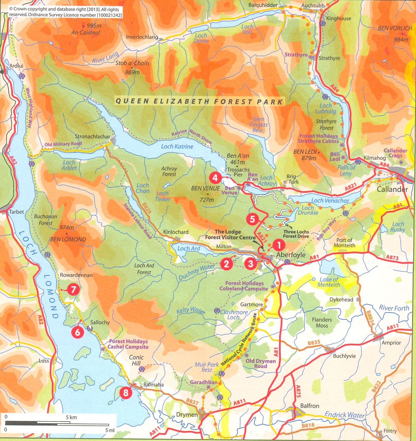 Map of
Loch Lomond and Trossachs
area
( Note:- Click here or on above for large format copy ) |
LOCH ARKLET WALK - ROUTE DESCRIPTION:
 :: Loch Arklet
Gallery
:: Loch Arklet
Gallery 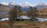 :: Loch Ard
Gallery
:: Loch Ard
Gallery 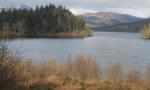 :: Aberfoyle Gallery
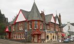
Glencoe | Ben Nevis | Knoydart | Isle of Skye | Isle of Arran
The Eastern Highlands | The Central Highlands | The Southern Highlands | The NW Highlands