|
Bearsden & DistrictKillearn |
  |
| |
Bearsden & DistrictKillearn |
|
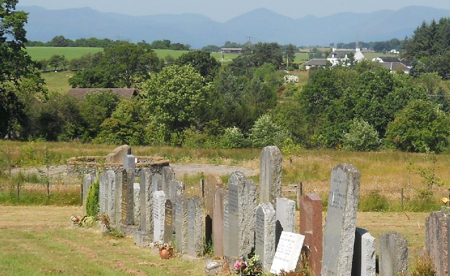
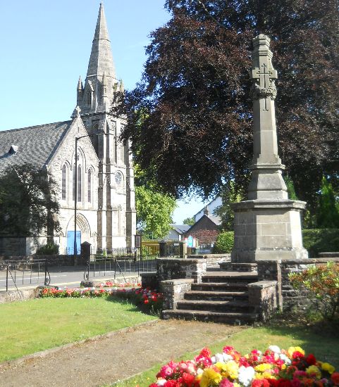 Parish
Church and War Memorial
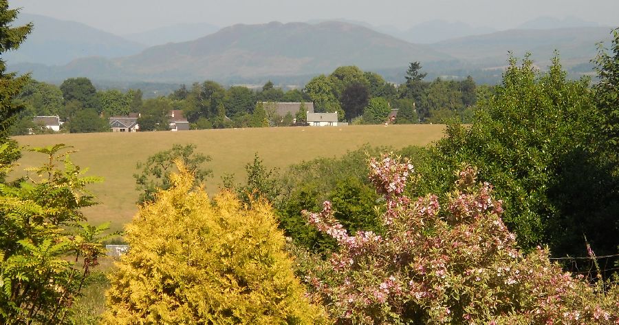
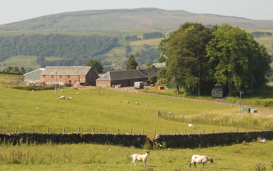
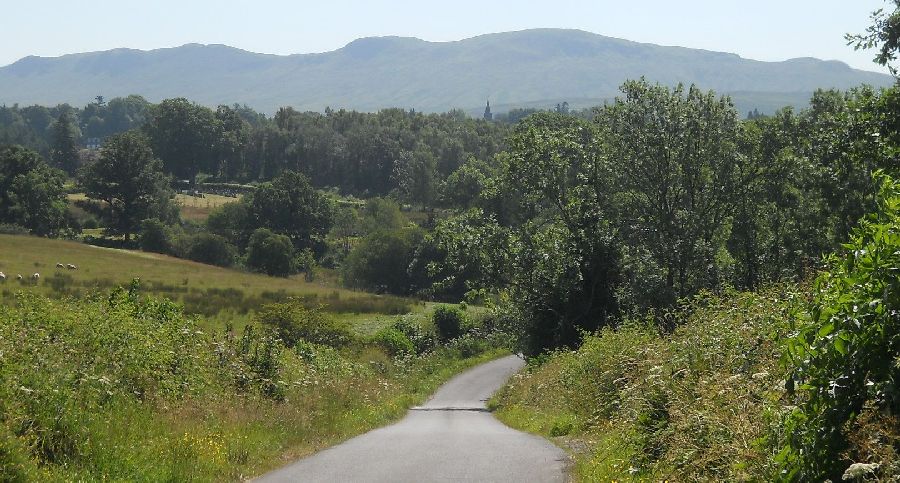
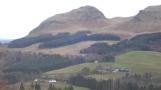
in Killearn The village is some 15 miles ( 24km ) to the north of Glasgow and 7 miles ( 11km ) to the east of Loch Lomond Killearn lies on the northwest flank of the Campsie Fells |
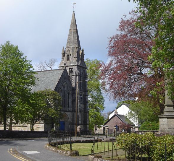 Parish
Church at Killearn
|
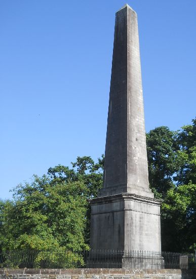 Obelisk
( 31m )
dedicated to George Buchanan the humanist and historian born in Killearn |
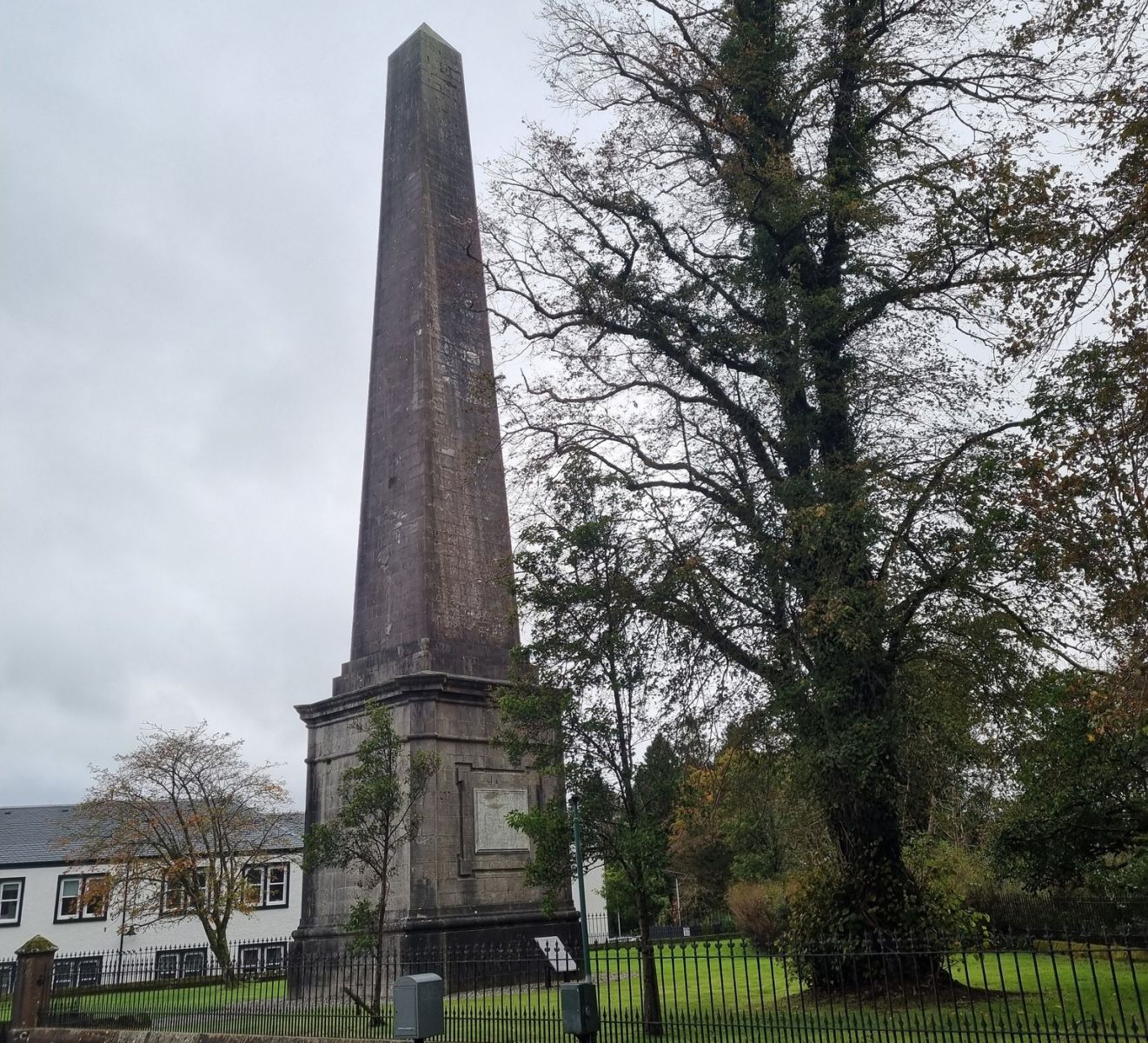 Obelisk
( 31m )
dedicated to George Buchanan the humanist and historian born in Killearn |
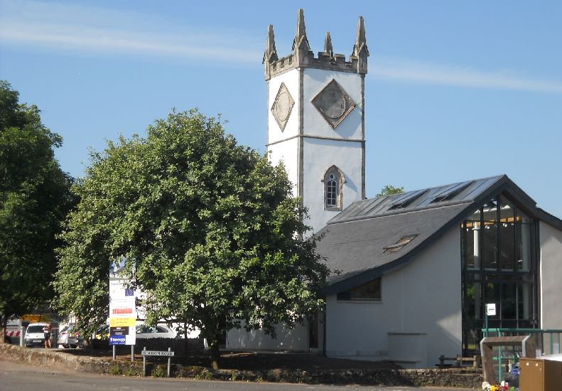
 Old
Church ( b1734 )
in Killearn |
 Outskirts
of Killearn
|
 |
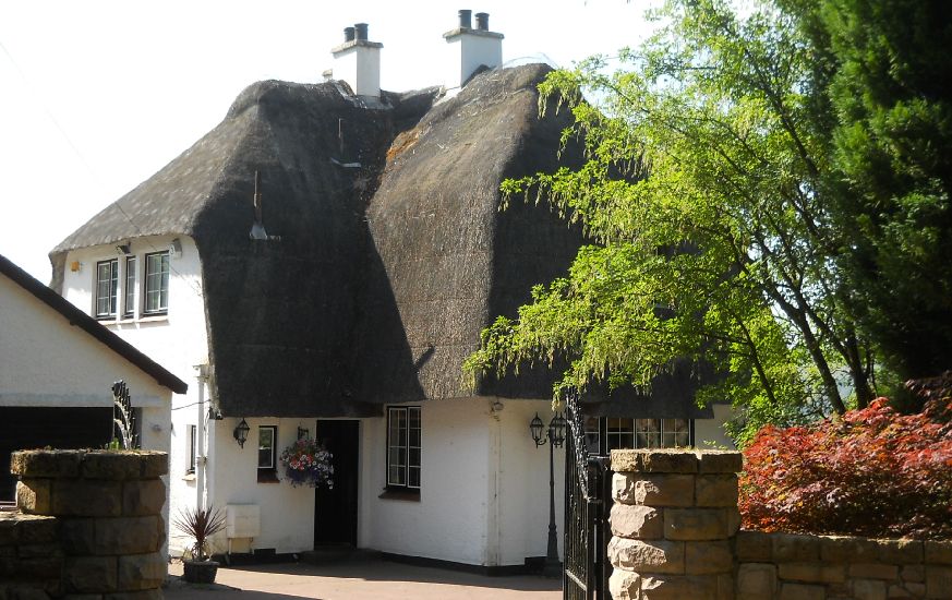 Thatched
house in Killearn
|
 |
 |
 |
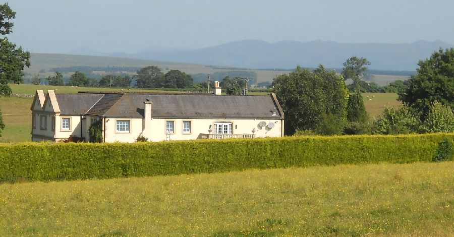
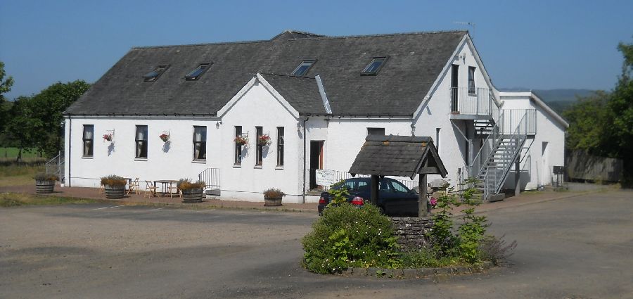 The
Wishing Well Farmhouse
at Gartness |
 |
 |
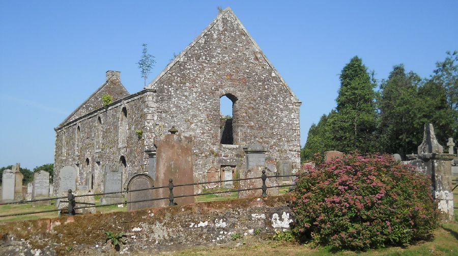
 Former
Church in Killearn
|
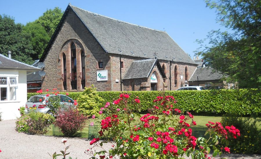 Former
Church in Killearn
|
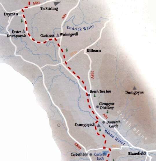
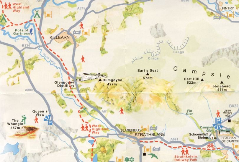
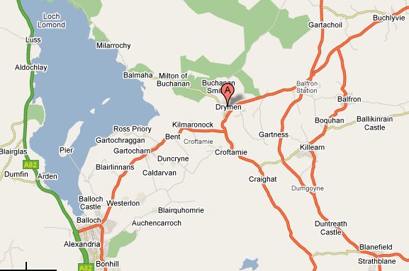 Map of Killearn Area
|
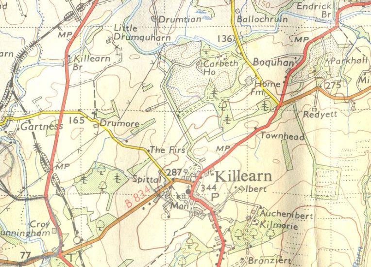 Map of Killearn Area
|
 |
 |
KILLEARN CIRCULAR WALK - ROUTE DESCRIPTION:
 :: Campsie Fells
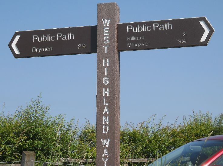
 :: West Highland Way
Glencoe | Ben Nevis | Knoydart | Isle of Skye | Isle of Arran
The Eastern Highlands | The Central Highlands | The Southern Highlands | The NW Highlands


Google Analytics