|
Burgh of BearsdenGarscube Estate
|
  |
| |
Burgh of BearsdenGarscube Estate
|
|
Photographs of a circular walk around Garscube Estate
and Dawsholm Park in Bearsden
 North Lodge
at entrance to Garscube Estate from Maryhill Road at Killermont Garscube was a large 19th-century estate extending over the River Kelvin into the City of Glasgow |
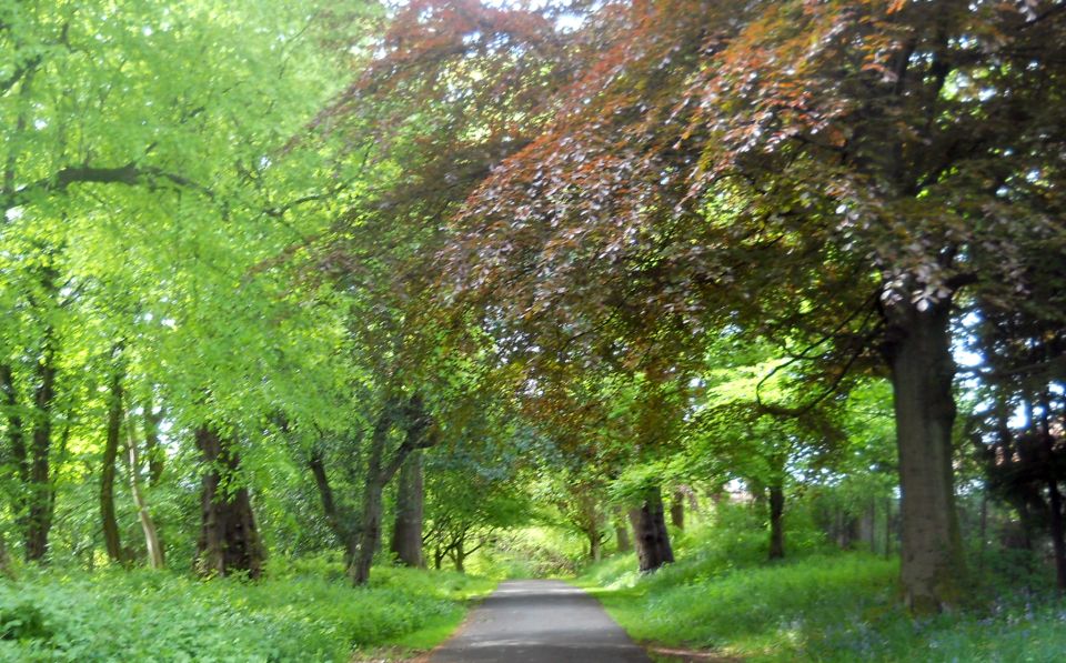 Driveway
in Garscube Estate from North Lodge |
Trees in Garscube Estate Garscube Estate was purchased by the University of Glasgow in 1947. The estate
holds the Veterinary School, Small Animal Hospital, Wolfson Halls of Residence, Wolfson
Cancer Research Centre, West of Scotland Science Park and sports complex. |
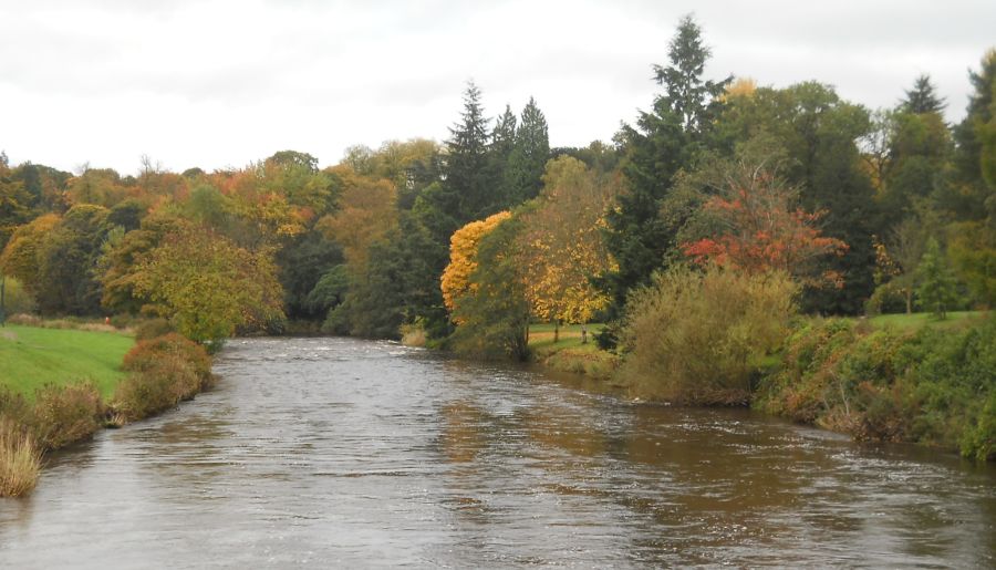
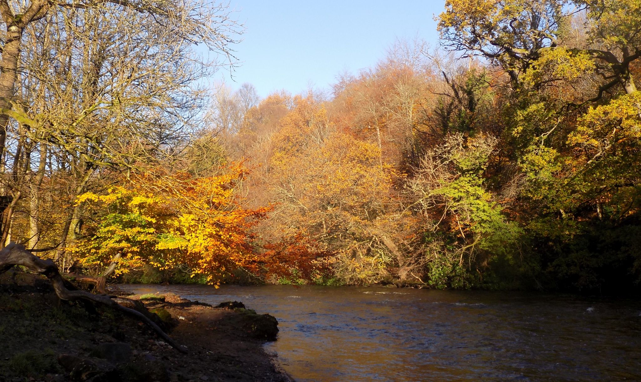
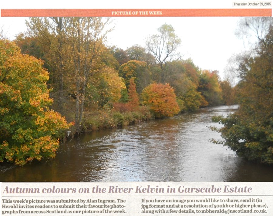 Kelvin River in
Garscube Estate
|
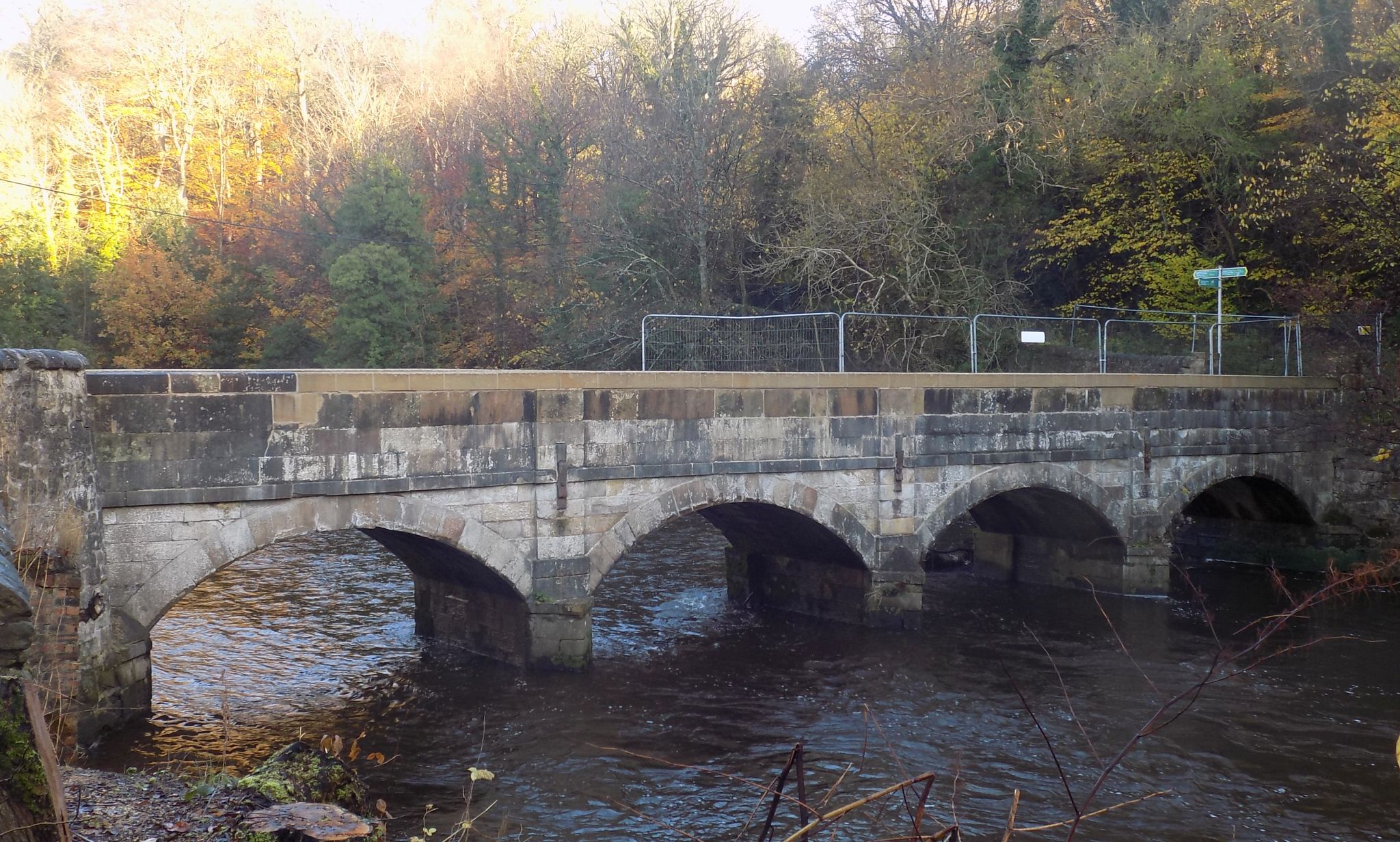
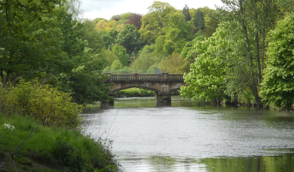
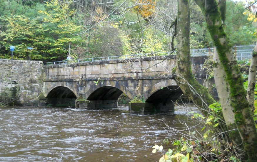
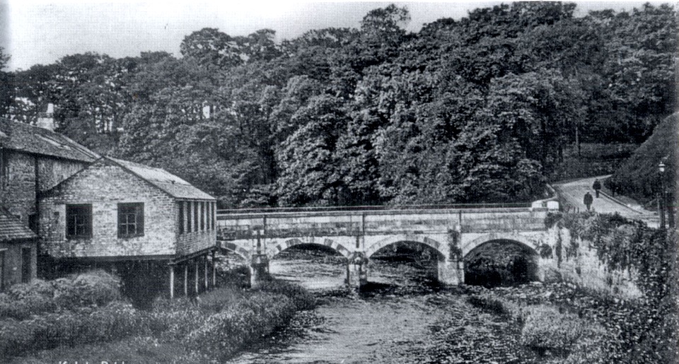
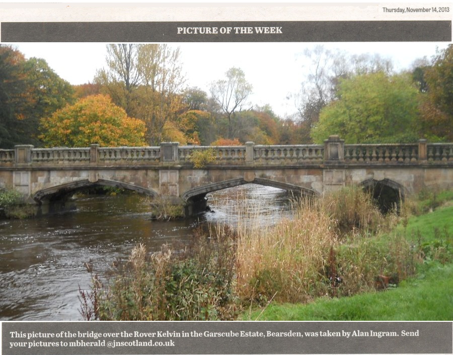 Bridge over Kelvin River
in Garscube Estate
This is an estate bridge connecting the site of the former Garscube House ( now demolished ) with Maryhill Road. The bridge has four flat Tudor-arched spans, and a level carriageway. Note the elaboration of the piers, arch stones and parapet. The square-section balusters are typical of the late 16th and 17th centuries. The architectural treatment of this bridge reflects the popularity of the Tudor and Jacobean styles for the design of country houses and associated buildings until the Scottish Baronial came into vogue in the late1840s. |
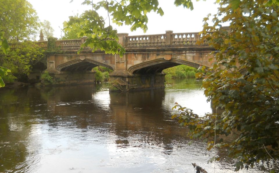 Bridge over Kelvin River
in Garscube Estate |
 Bridge over Kelvin River
in Garscube Estate |
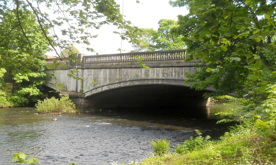 Bridge over Kelvin River
on Maryhill Road at Killermont from Garscube Estate |
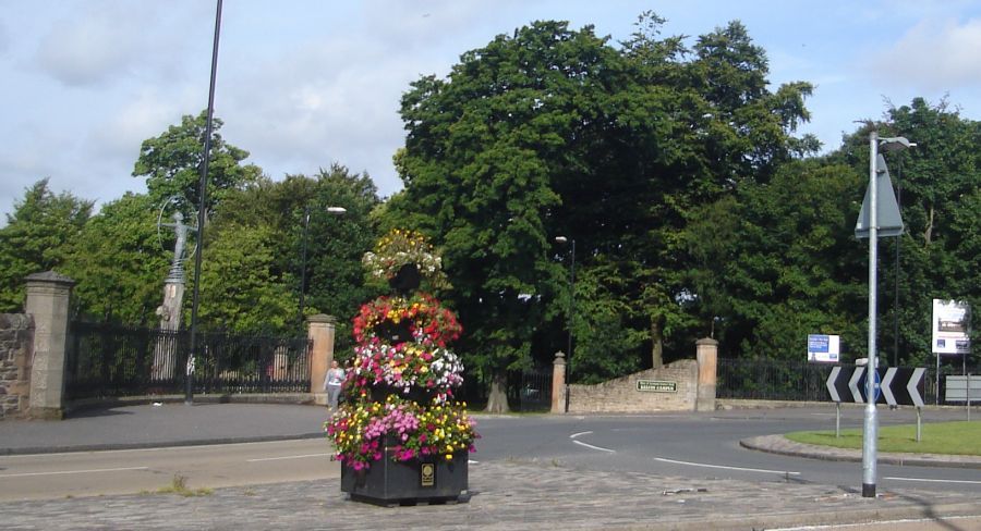 Entrance to
Garscube Estate
from Maryhill Road at Killermont |
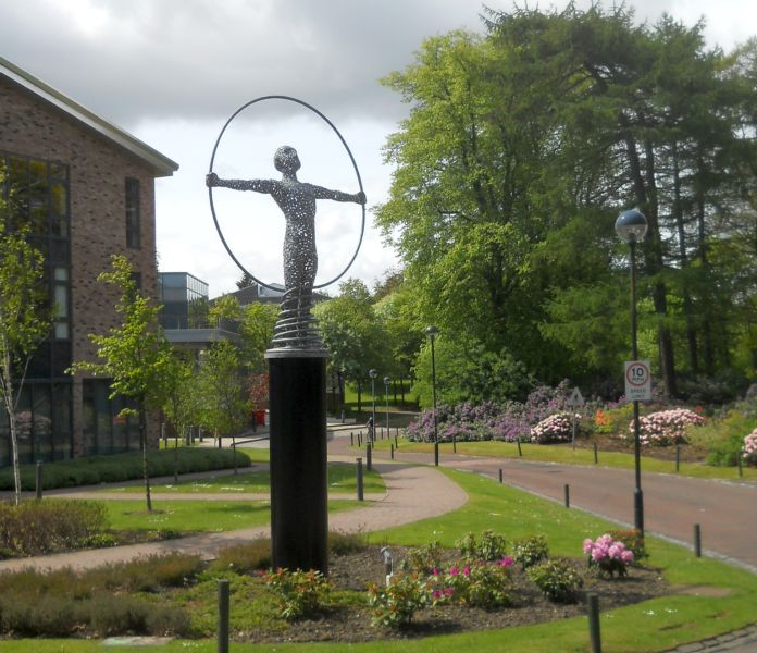 Monument at
Venture Building
in Kelvin Campus Science Park in Garscube Estate |
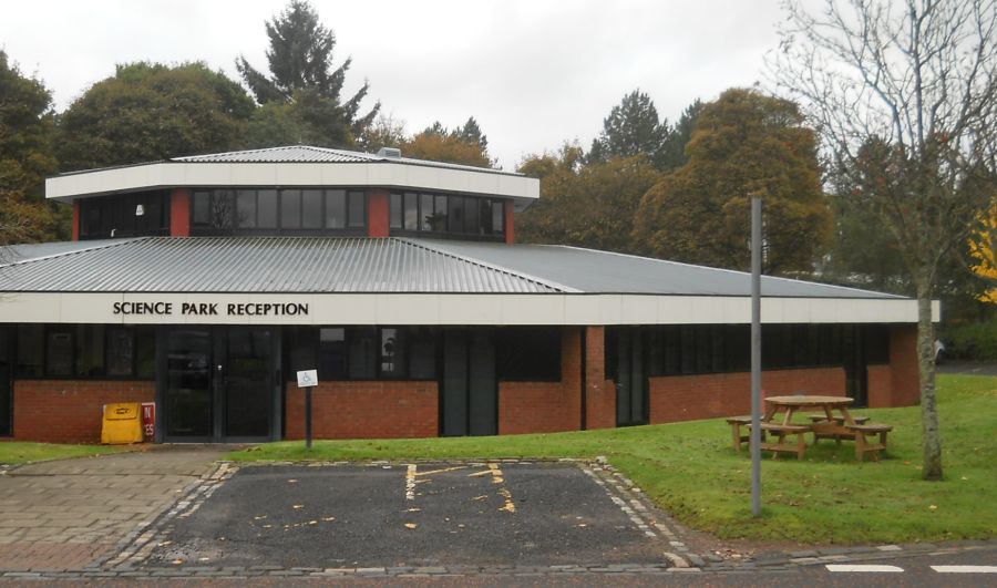 Reception
Building
for Science Park in Garscube Estate |
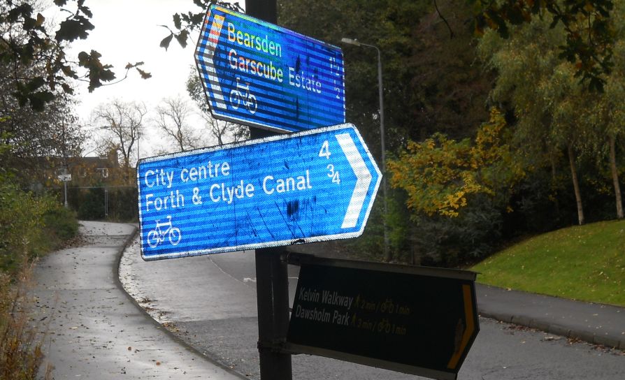 Signpost at
Garscube Estate
|
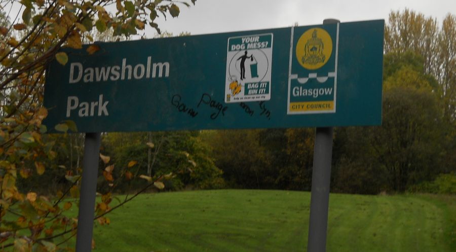 Signpost at
entrance
to Dawsholm Park |
 Bridge over Kelvin River
at entrance to Dawsholm Park from Kelvin Walkway |
|
|
|
at entrance to Dawsholm Park from Kelvin Walkway |
 Former
Dawsholm Mill
on River Kelvin |
 Pond in Dawsholm Park
|
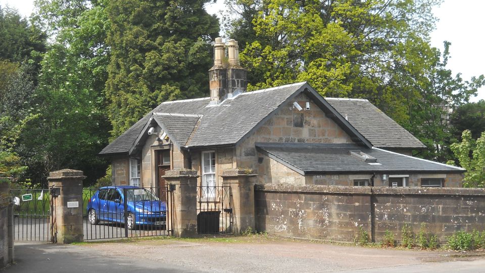
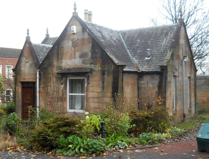 Gate House
at entrance to Garscube Estate from Switchback Road |
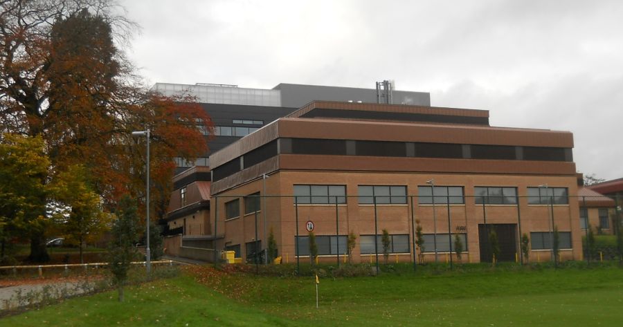 Wolfson
Cancer Research Centre
in Garscube Estate |
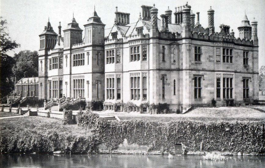 Photograph of
the former Garscube House
around 1870 Built in 1827 it was demolished in 1954 Garscube Estate was acquired by the Colquhouns of Luss in 1558. The western part of the estate was in the county of Dunbartonshire and the eastern part within the City of Glasgow, the boundary being the River Kelvin. Glasgow Buildings |
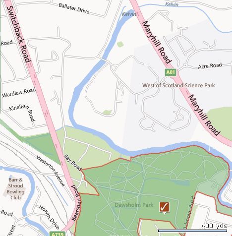 Map of Garscube
Estate
and Dawsholm Park |
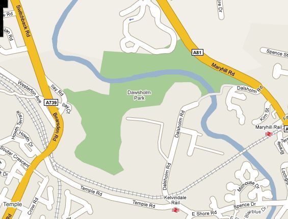 Map of Dawsholm
Park
|
GARSCUBE ESTATE CIRCULAR WALK DESCRIPTION:
 :: Bearsden Gallery
  :: Garscube
Gallery
:: Garscube
Gallery 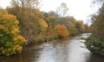
Glencoe | Ben Nevis | Knoydart | Isle of Skye | Isle of Arran | The West Highland Way
The Eastern Highlands | The Central Highlands | The Southern Highlands | The NW Highlands