|
Glasgow ParksEglinton Country Park
|
  |
| |
Glasgow ParksEglinton Country Park
|
|
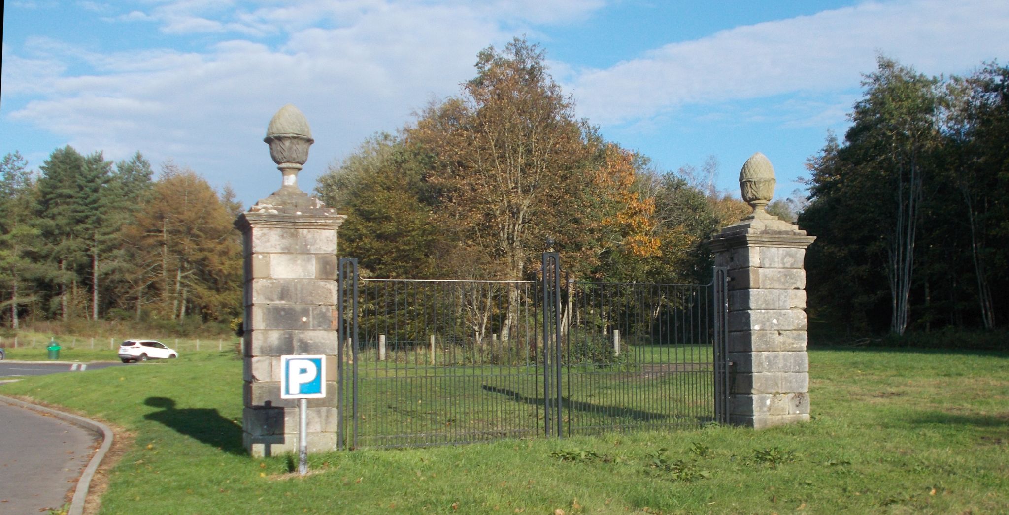 Gates
of
Eglinton Castle
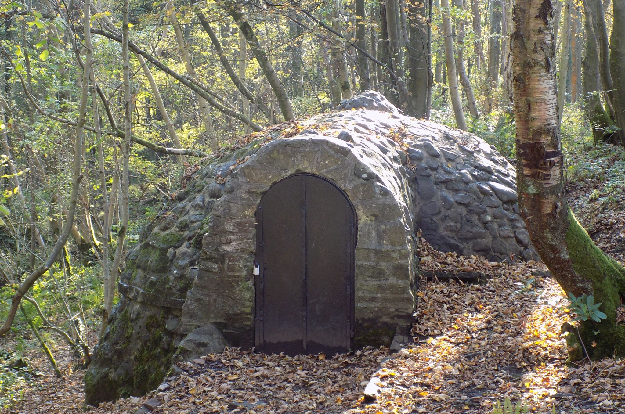
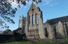
Eglinton Country Park is in the grounds of the old Eglinton Castle estate at Kilwinning and covers an area of 400 hectares / 98 acres much of which are woodland. The central iconic feature of the country park is the ruined Eglinton Castle, |
|
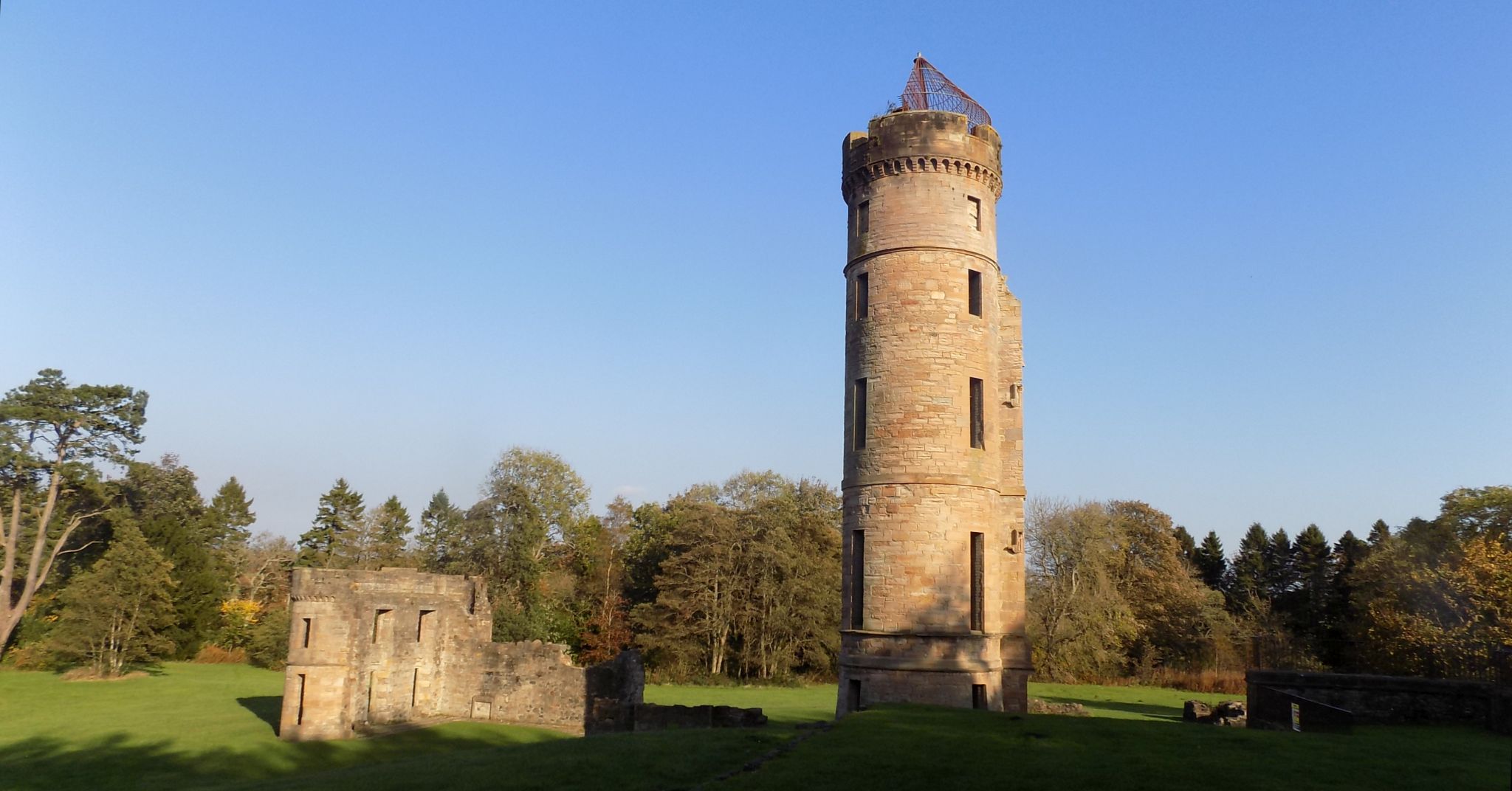 Eglinton Castle
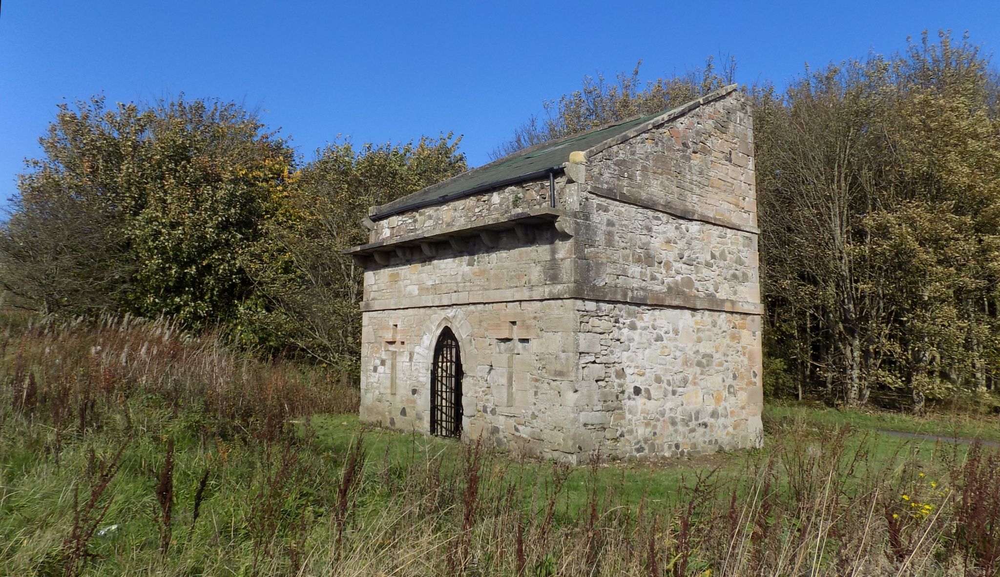
The ancient seat of the Earls of Eglinton, is located south of Kilwinning. The current castle was built between 1797 and 1802 in Gothic castellated style dominated by a central 100-foot ( 30m ) large round keep and four 70-foot ( 21m ) outer towers, it was second only to Culzean Castle in appearance and grandeur. |
|
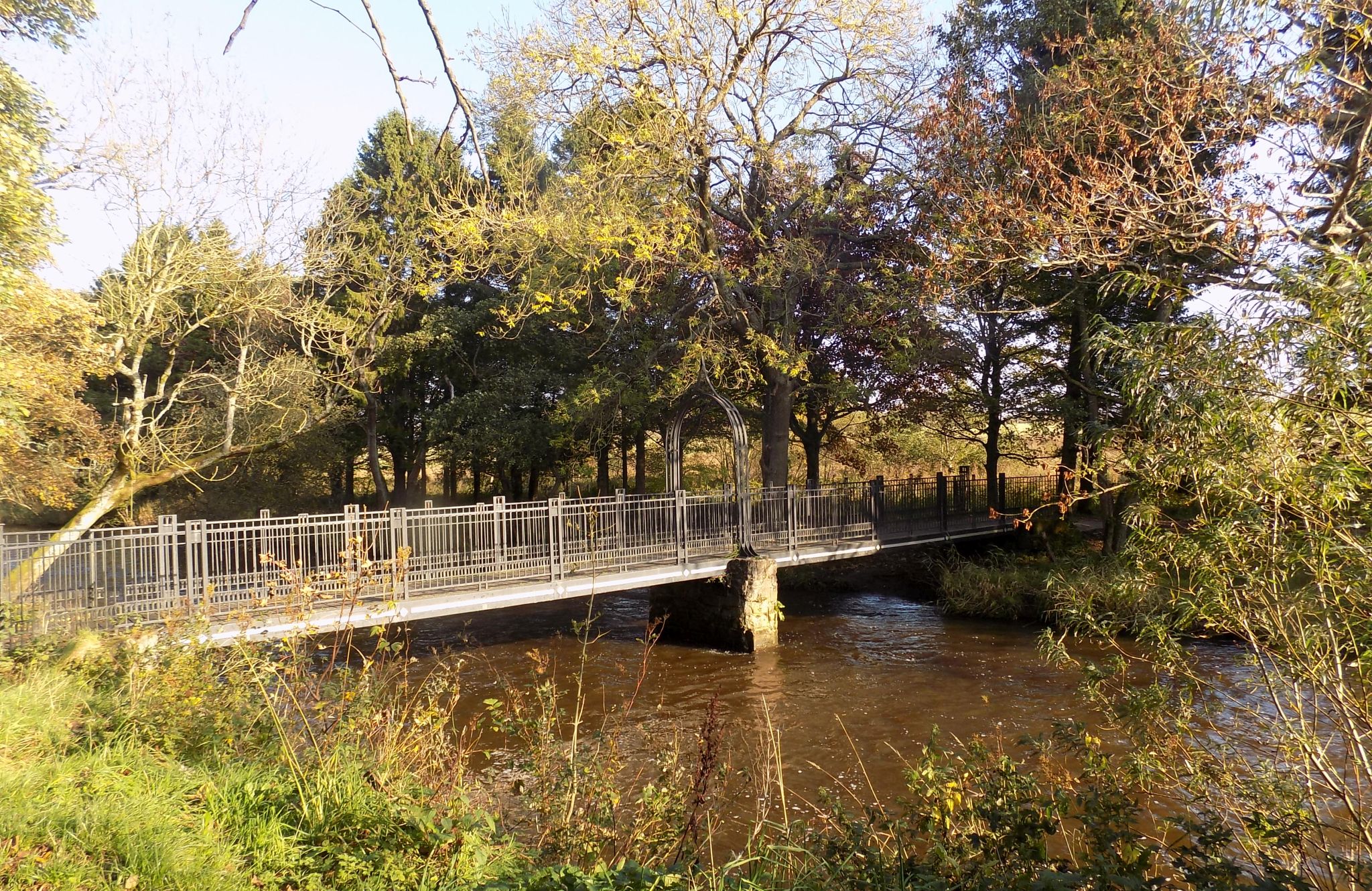
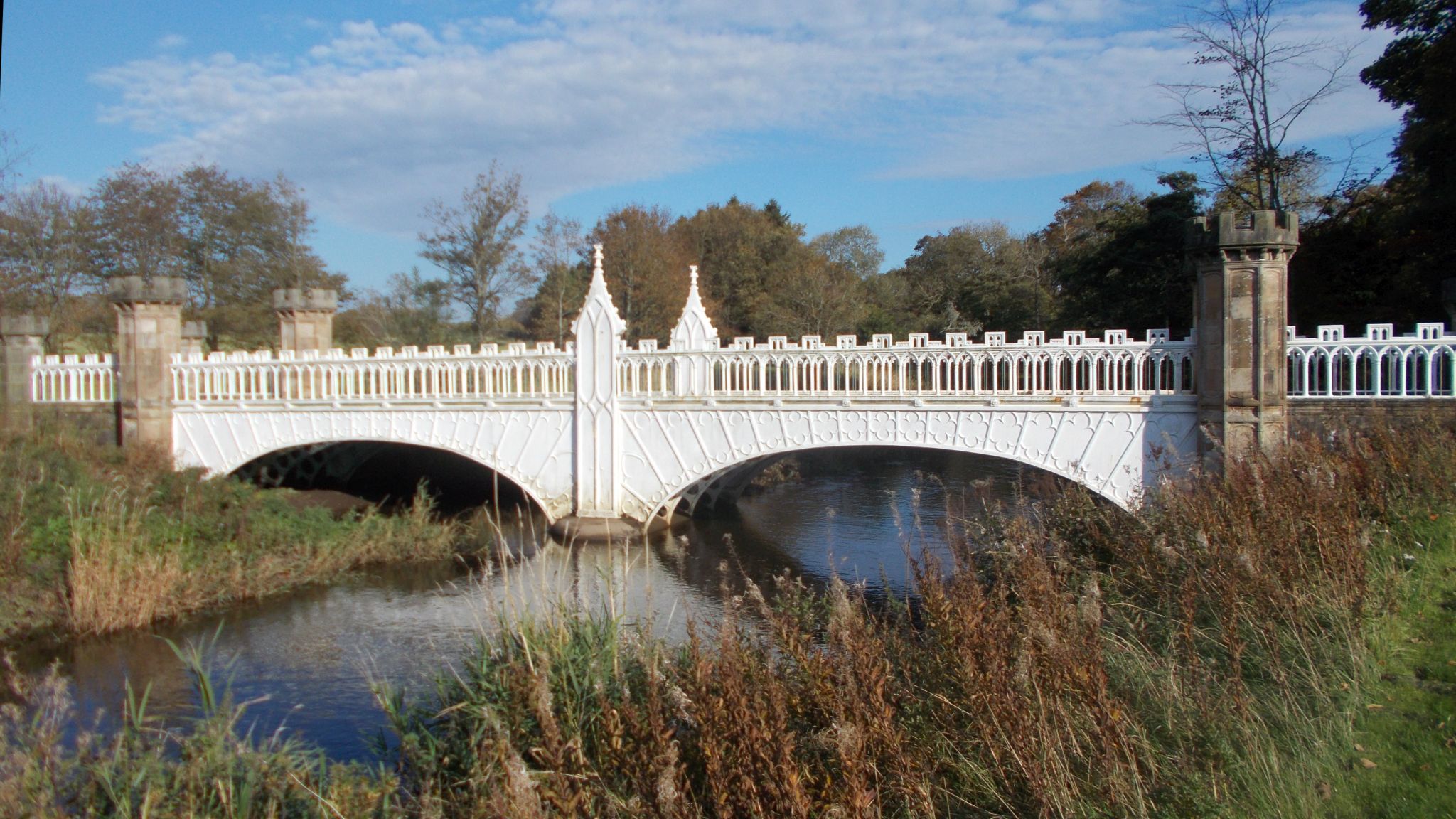 Eglinton
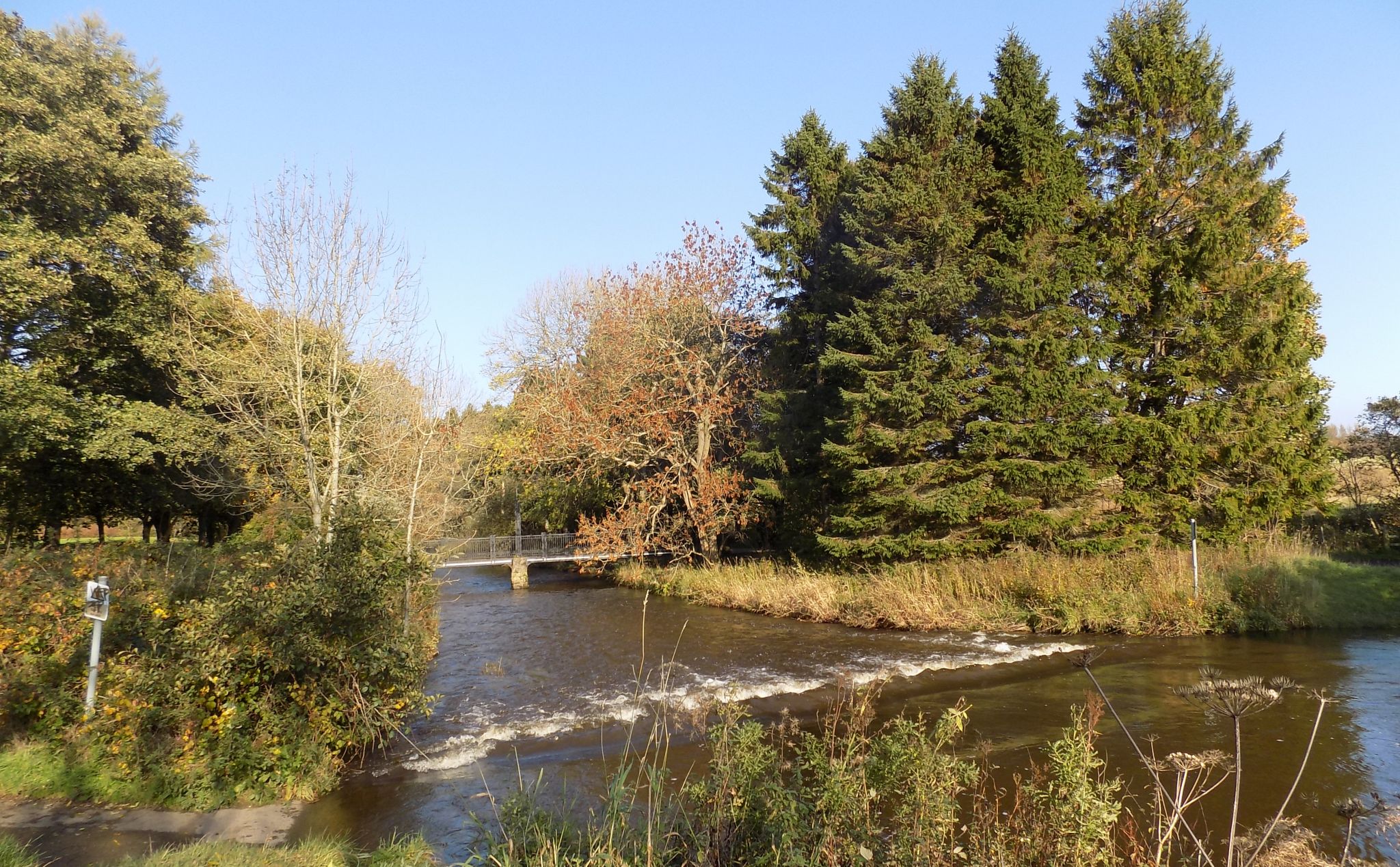
Castle Tournament Bridge
over the Lugton Water |
|
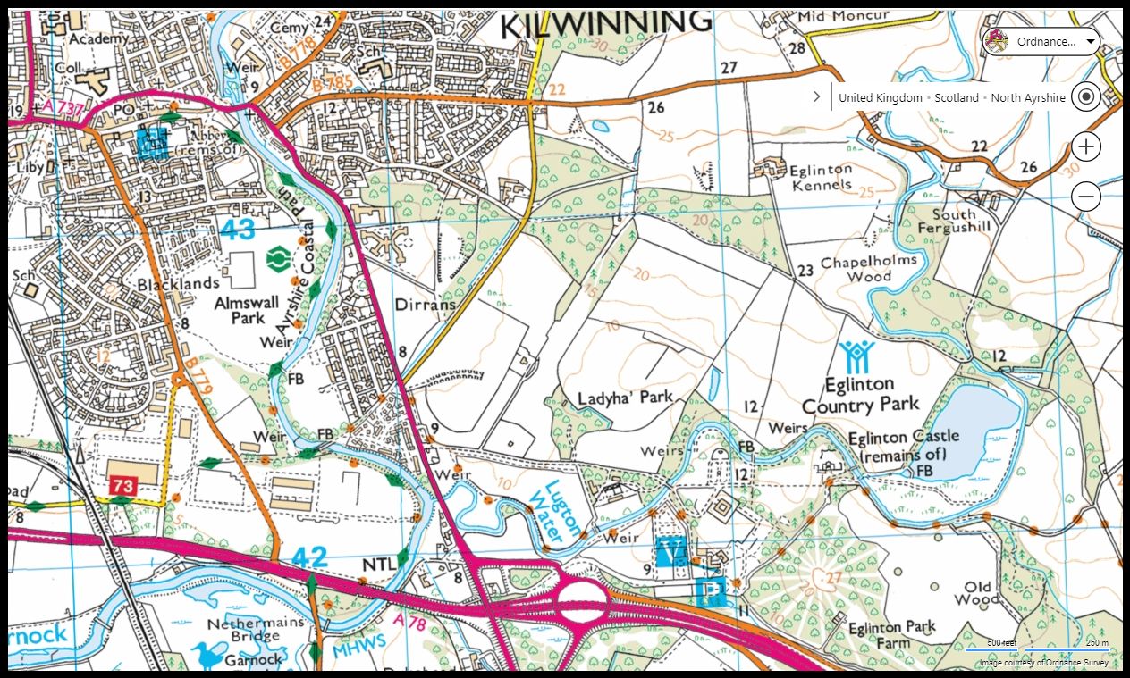 Map of
Kilwinning
and Eglinton Country Park |
|
|
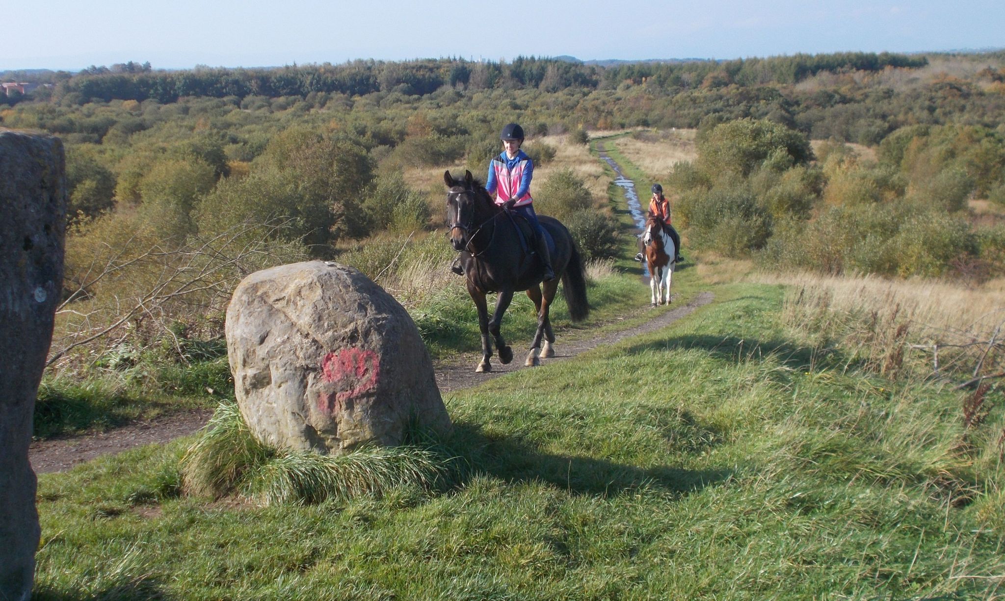
Eglinton Country Park Location: Kilwinning, Ayrshire Grade: Easy woodland and riverside walk Distance: 3 miles/5km Time: 2 hours
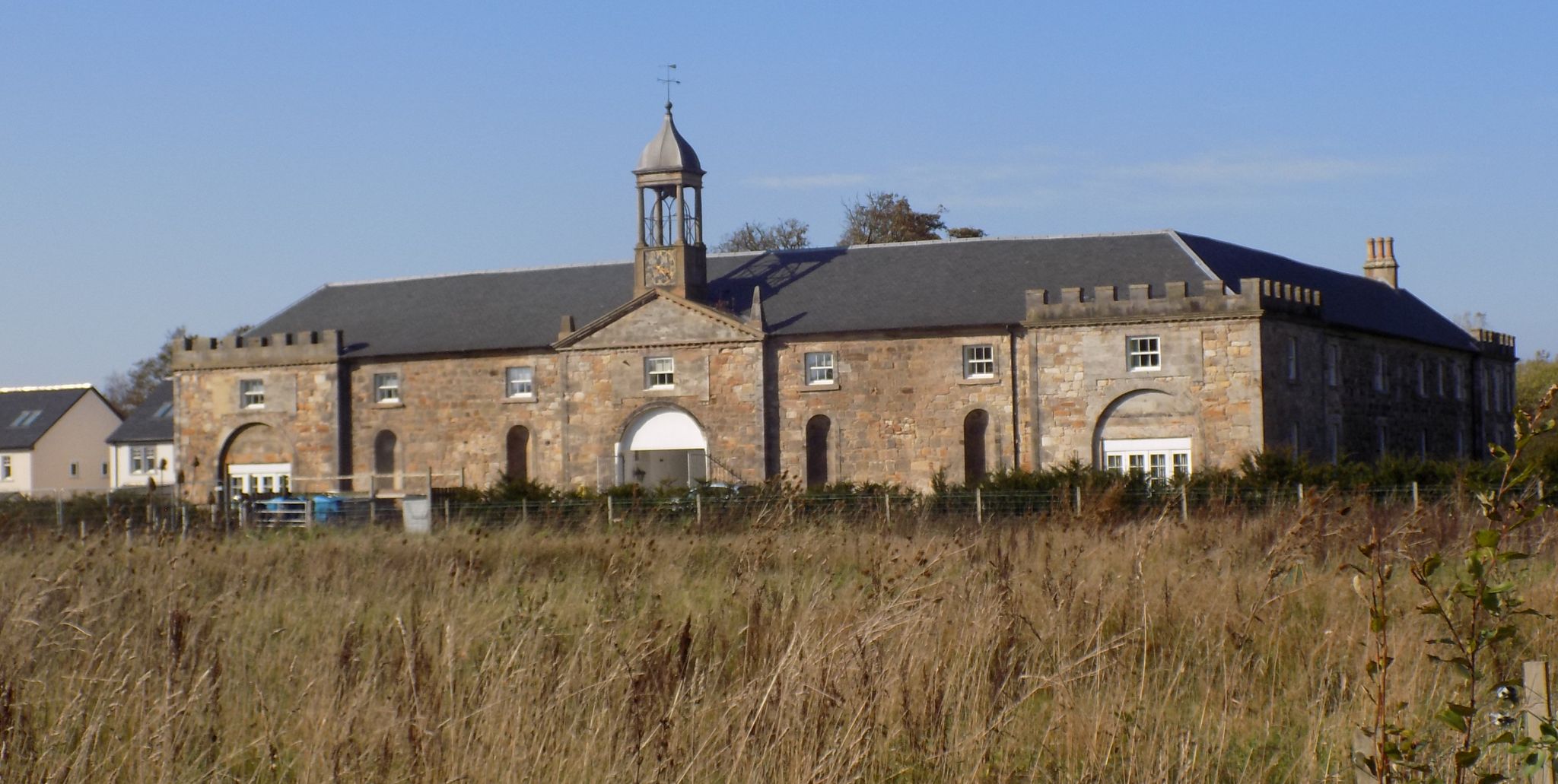
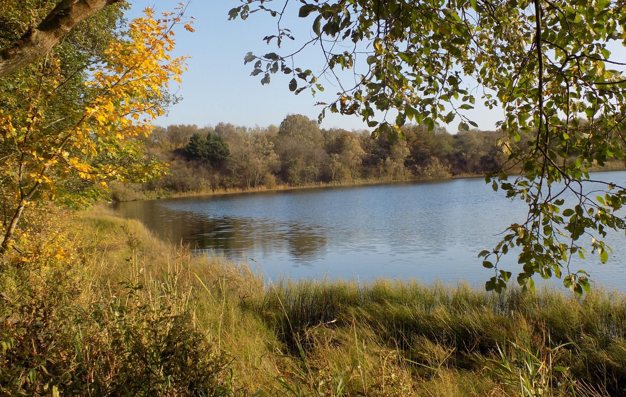
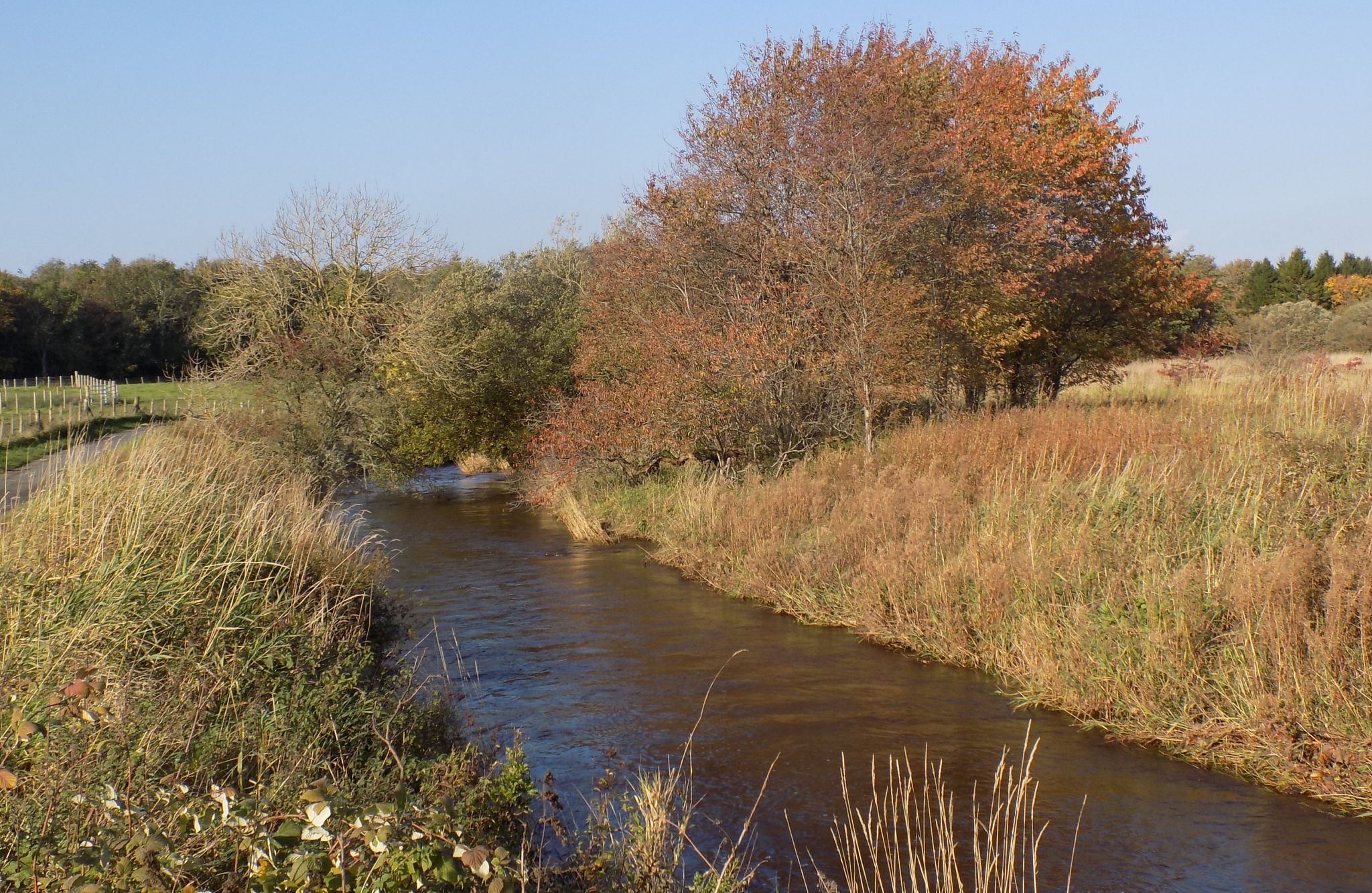
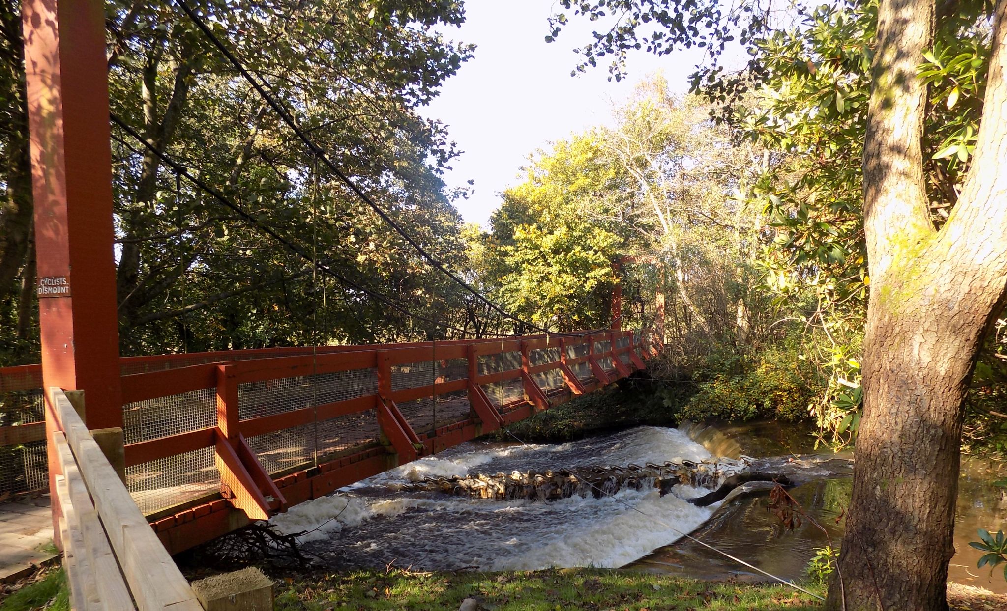
The lands of Eglinton, between Kilwinning and Irvine in Ayrshire, were held by the Montgomerie family for many centuries. As a reward for service to King Iames IV, they were granted the title Earls of Eglinton in the 16th century. At the end of the 18th century Hugh, the 12th Earl, decided he needed a new house and commissioned John Patterson to design it. Patterson came up with an ambitious plan for four high corner towers linked by ranges of rooms and with a central courtyard.The house was finished in 1802 and in keeping with the style of the times, was called a castle though it never had any defensive purpose. The family’s fortunes later declined after a number of unfortunate schemes including a plan for a canal from Glasgow to the Ayrshire coast with a new harbour at Ardrossan, and the castle was abandoned. All that remains today is one tower and some fragments of wall, but from that your imagination can build a truly grand edifice. The castle reached the peak of its fame in 1839. Queen Victoria had come to the throne two years earlier and was due to be crowned, but it was a time of austerity and the government decided that an extravagant Coronation was neither desirable nor affordable. Archibald, 13th Earl of Eglinton, had other ideas. He felt strongly that the new queen’s reign should be marked in proper style and decided to organise a medieval style Tournament. The event, held in late August, was planned on a vast scale and aroused huge public interest. One estimate says that as many as 100,000 people attended. Some came by the new railway, opened a few days earlier, others by steamer from Glasgow. Unfortunately the weather did not co-operate. There was persistent rain and the second day was washed out completely. At the end the Earl was, perhaps diplomatically, voted the Victor and was presented (four yearslater!) with a huge, ornate silver trophy. There is an echo of the occasion still to be seen. Much of the walk described here follows the Lugton Water, which is crossed, near the castle site, by the Tournament Bridge, an elaborate Victorian structure painted white. Designed by David Hamilton, it actually post-dates the Tournament but is very much in the style of the period. Eglinton
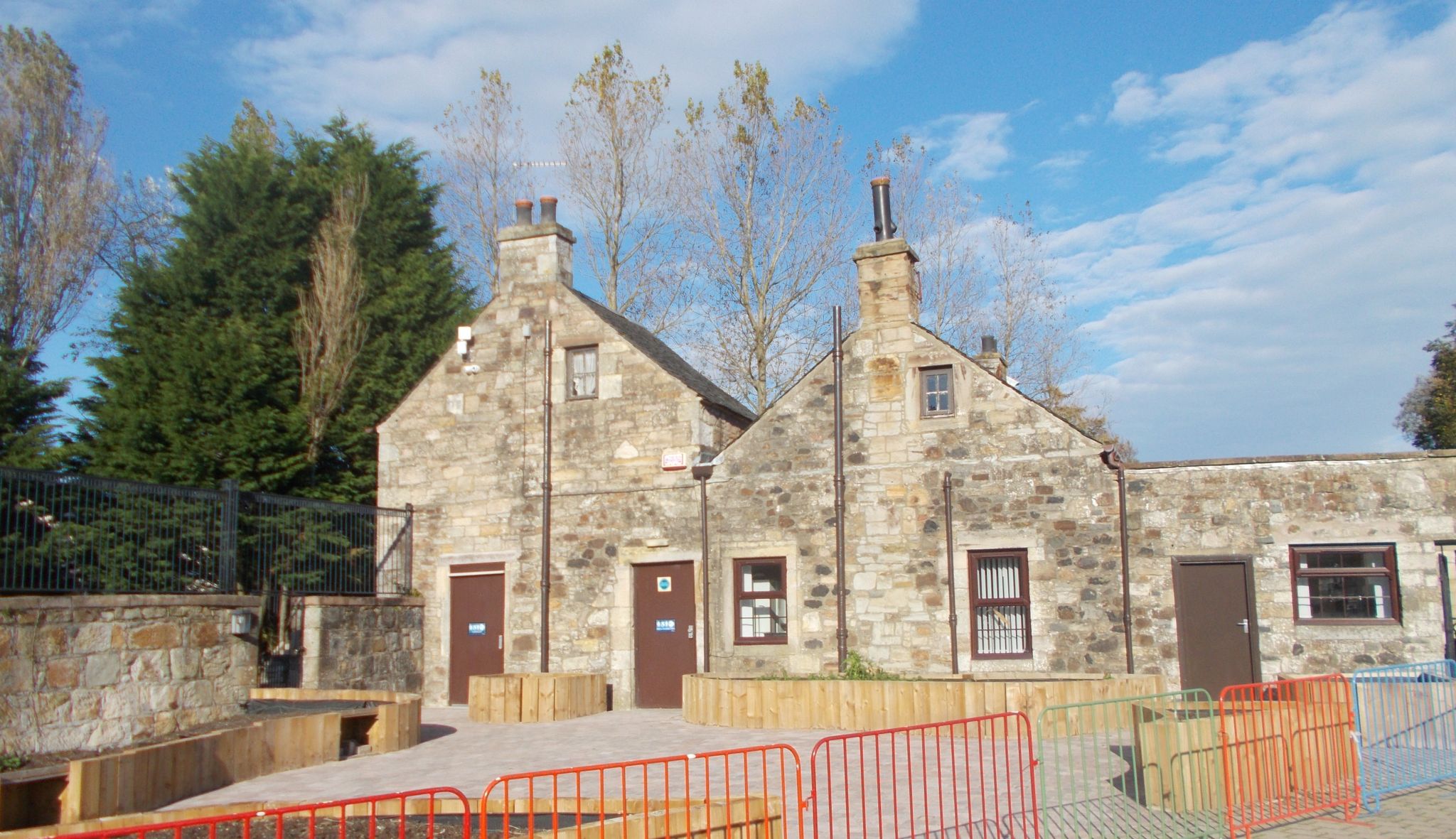
today is an
extensive Country Park run by North Ayrshire Council. There is a
network of walking, cycling and horse-riding trails and the park
hosts a busy programme of events, many of them run in co-operation
with the Friends of Eglinton. There is fishing on the loch and a
great children’s play park. The visitor centre is closed in the
Winter but the excellent Tournament Cafe remains
open. While acknowledging its richly historical past, Eglinton is looking forward to a future firmly linked to the local community. It is a great place to visit at any time of year, and offers an easy escape to the countryside in the winter months when you may not wish to travel further afield.
Eglinton
Country Park
|
|
|
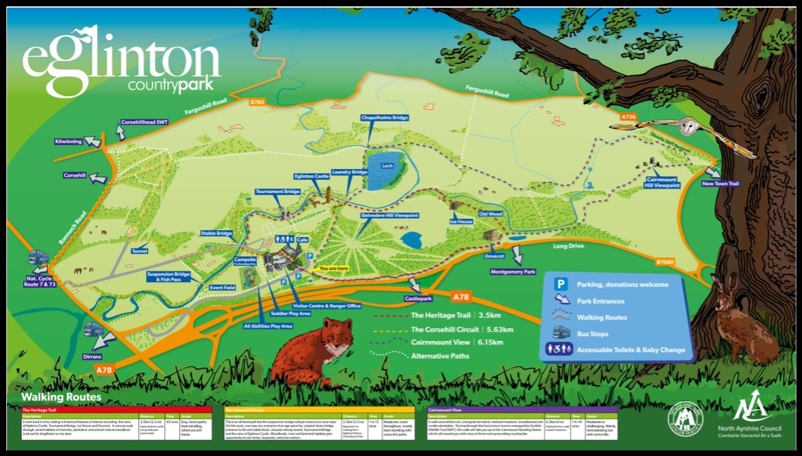
Eglinton Country Park ROUTE PLANNER . Map: OS 1:50,000 Landranger 70 (Ayr, Kilmarnock & Troon) or Explorer sheet 333 (Kilmarnock & Irvine) Distance: 3 miles/5km Time: 2 hours
Start/finish: Eglinton Country Park visitor centre ( GR: NS319419 ), signed from Eglinton turnoff on A78 Transport: Stagecoach bus 11 (Kilmarnock-Ardrossan) passes the park entrance. Information: Ayr TIC, 01292 290300 or the park website at vwvw.north-ayrshire.gov.uk/eglintonpark Route: From visitor centre TR on path beside access road. At crown of bend TR through gate onto riverside path. At second bridge keep ahead on field edge then path again. At Tournament Bridge TR and then TL to see castle ruins. Walk down to river, cross and TR. Follow path L beside loch. At far end of loch cross river and TR on path with long line of trees on L. At junction TR (purple sign). When close to river again, TL on path, open at first then through dark wood. At park edge with road ahead TR and follow this path back to the visitor centre.
Eglinton
Country Park
|
|
Glencoe | Ben Nevis | Knoydart | Isle of Skye | Isle of Arran | The West Highland Way
The Eastern Highlands | The Central Highlands | The Southern Highlands | The NW Highlands