|
Glasgow & Surroundings Cumbernauld House Park
&
Glen
|
  |
| |
Glasgow & Surroundings Cumbernauld House Park
&
Glen
|
|
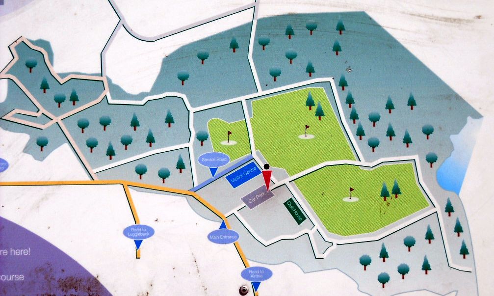 Map
of Cumbernauld House Park
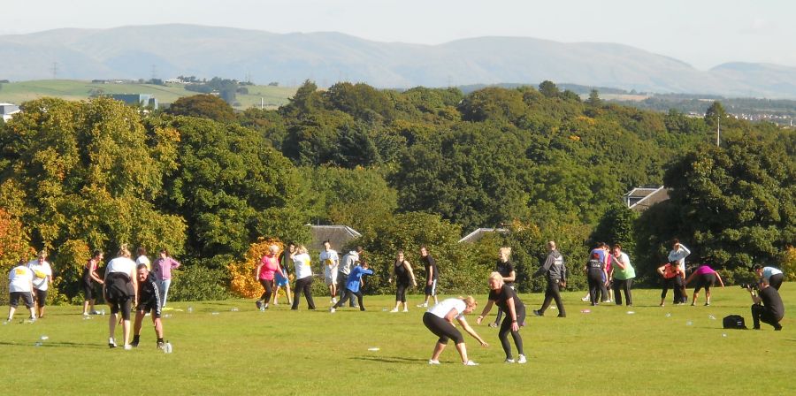
The park was originally the grounds of Cumbernauld House ( built 1731 ). The House occupies the site of the former Cumbernauld Castle ( destroyed in 1651 ). The park preserves the original informal layout with areas of grassland with footpaths and contains a number of ancient trees. Views of the Campsie Fells and the Ochil Hills are obtained from the top of the park. |
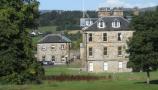
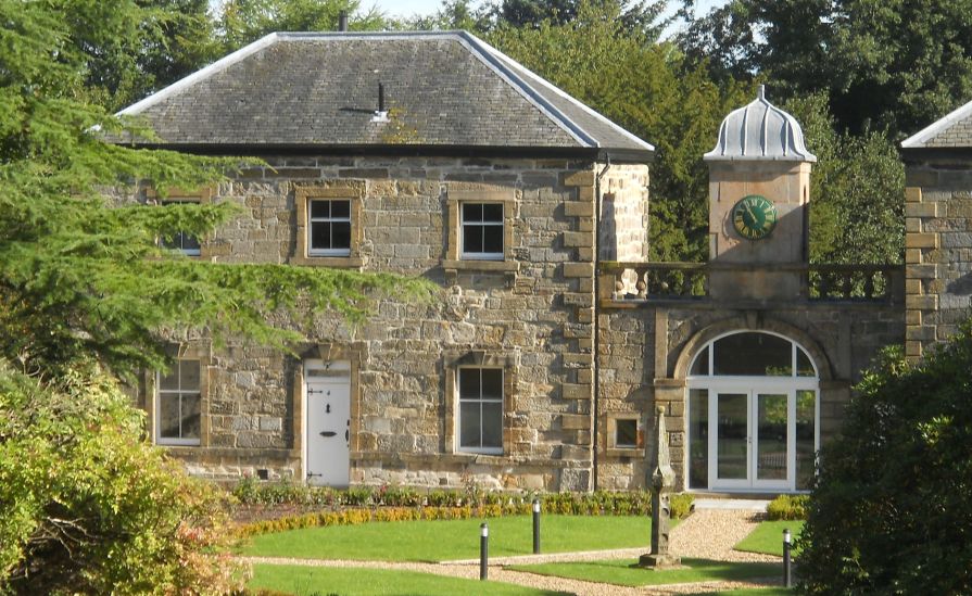 Cumbernauld
House
an 18th-century country house designed by William Adam. The house has been used by Cumbernauld Development Corporation and North Lanarkshire Council. Subsequently the building has lain dormant. Cumbernauld House is a category "A" listed building |
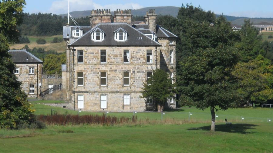 Cumbernauld
House
|
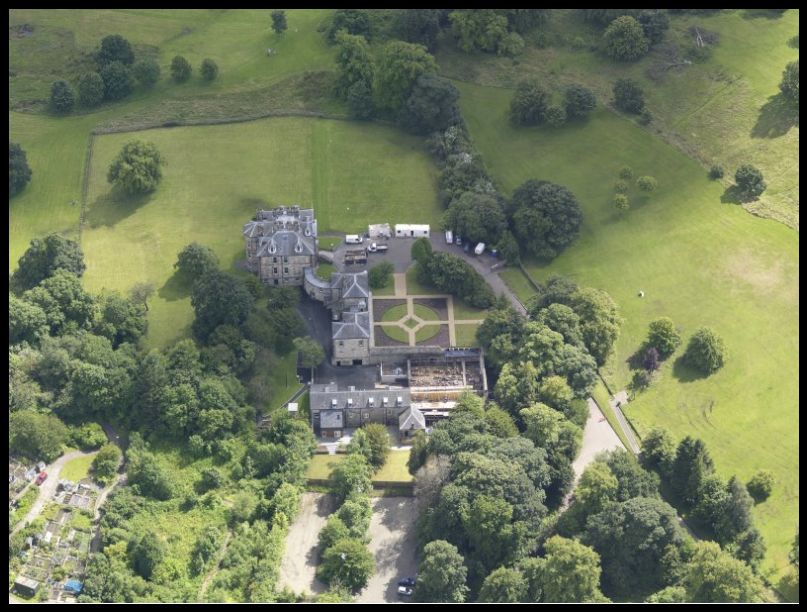 Aerial
view of Cumbernauld
House
|
 Campsie Fells
from Cumbernauld House Park |
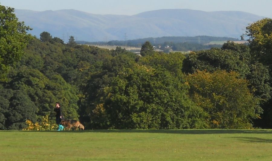 Ochil
Hills
from Cumbernauld House Park |
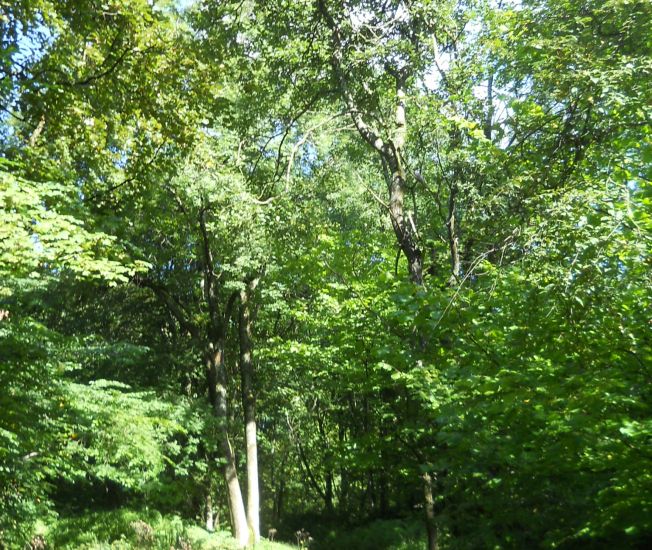
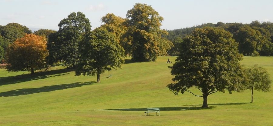 Grassland
and Trees
in Cumbernauld House Park |
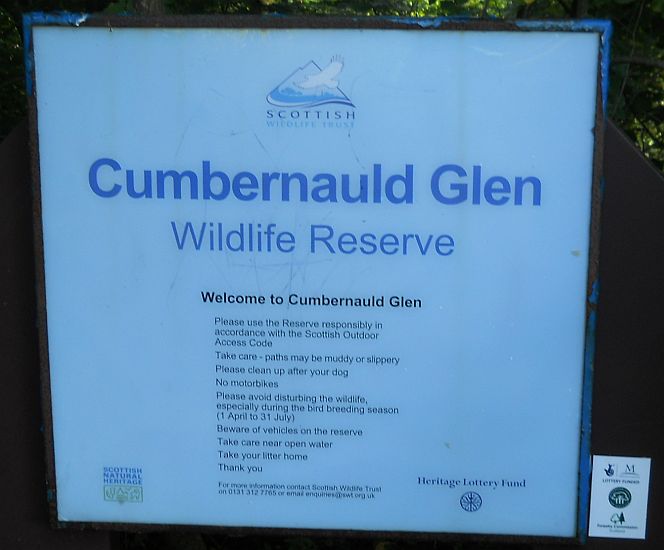 Notice
at Cumbernauld Glen Nature
Reserve
The Glen is adjacent to Cumbernauld House Park |
 Cumbernauld
Glen
|
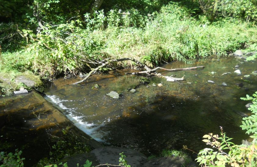 Stream
through Cumbernauld Glen
|
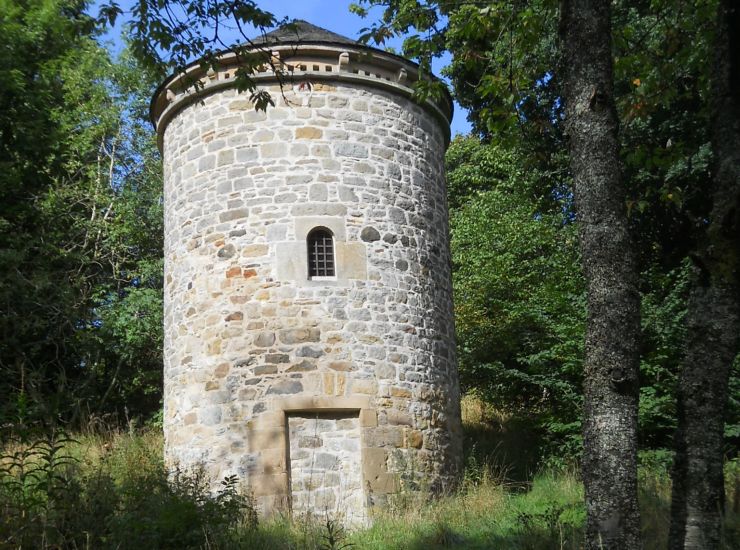 The
"Doocot" ( Dovecote )
in Cumbernauld Glen |
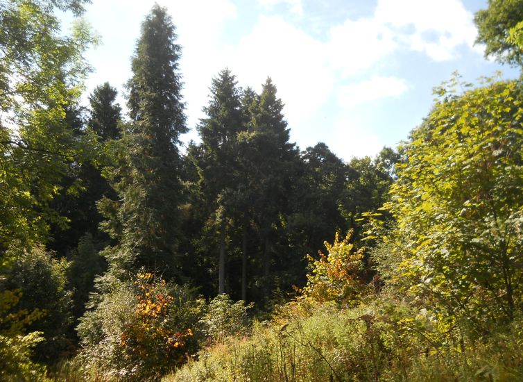 Crow
Wood
in Cumbernauld House Park |
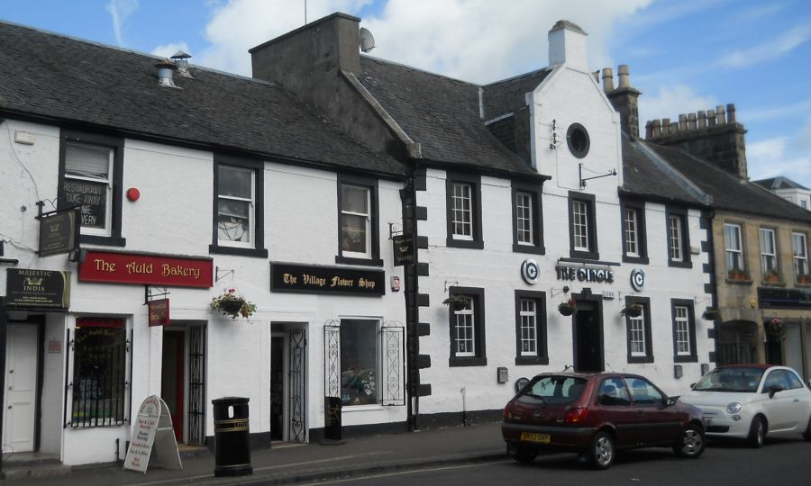 Shops
in Cumbernauld Village
adjacent to Cumbernauld House Park |
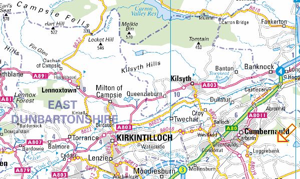 Location
Map for Cumbernauld
|
Glencoe | Ben Nevis | Knoydart | Isle of Skye | Isle of Arran | The West Highland Way
The Eastern Highlands | The Central Highlands | The Southern Highlands | The NW Highlands