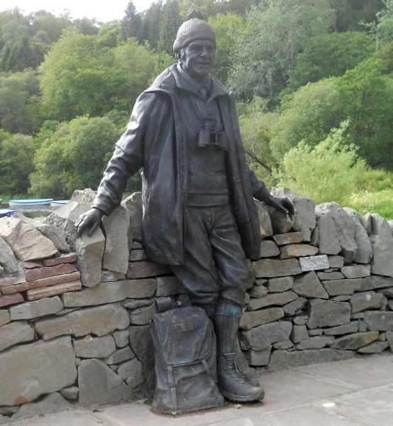
Thomas
"Tom" WeirMBE(1914 -
2006)
a Scottish mountaineer, author and broadcaster. In
1952 was a member of one of the first groups
to explore the previously closed Nepal
Himalaya
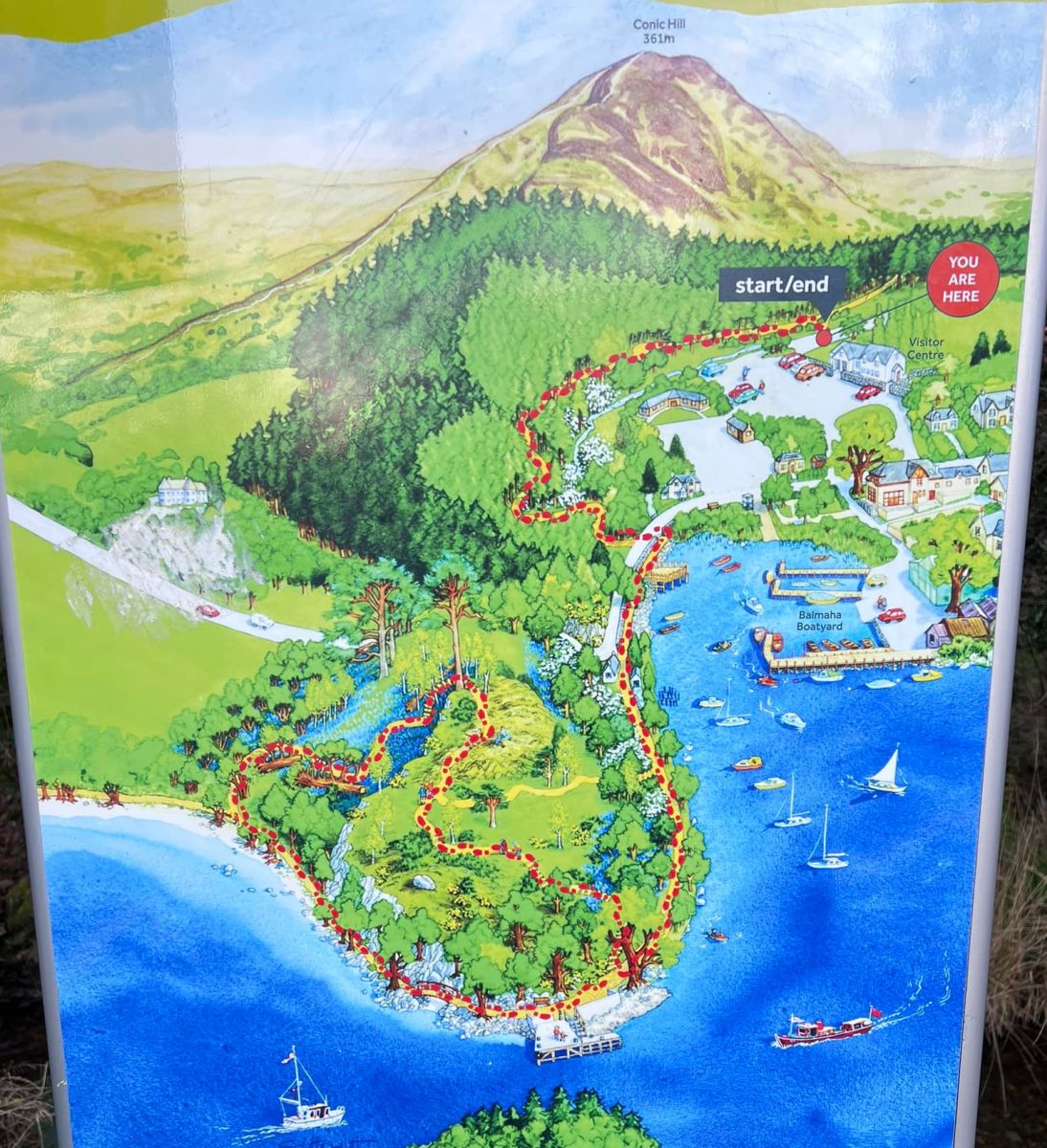
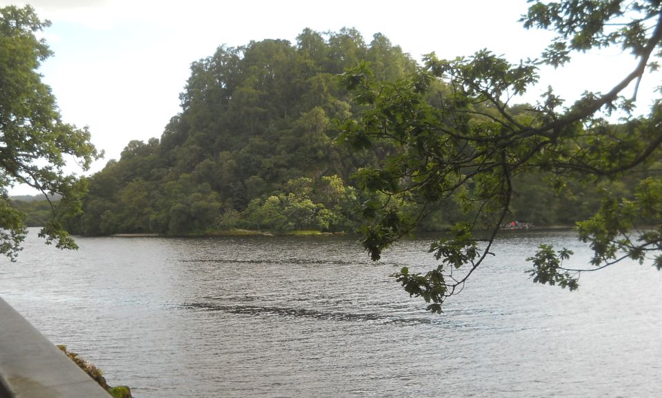
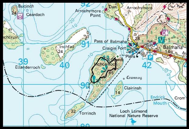
INCHCAILLOCH is not
one of the bigger islands on Loch Lomond but it is probably the
easiest to reach, and
has a truly
excellent path network. Despite the relatively short distances involved
you could lose yourself here
for hours,
enjoying to the full the wonderfully peaceful atmosphere and the
stunning views.
The peaceful
feeling may come from the fact that there was a small nunnery here for
a time, and this
also provides a
basis for the island’s name. ‘Cailloch’ ( in various spellings )
usually means an old woman but the
derivation is
here stretched to take in the holy sisters.
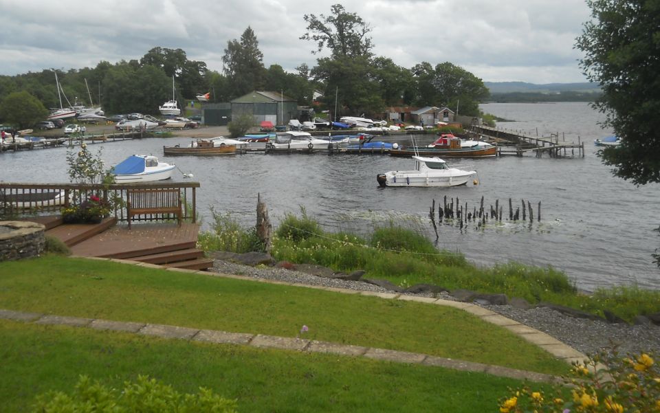
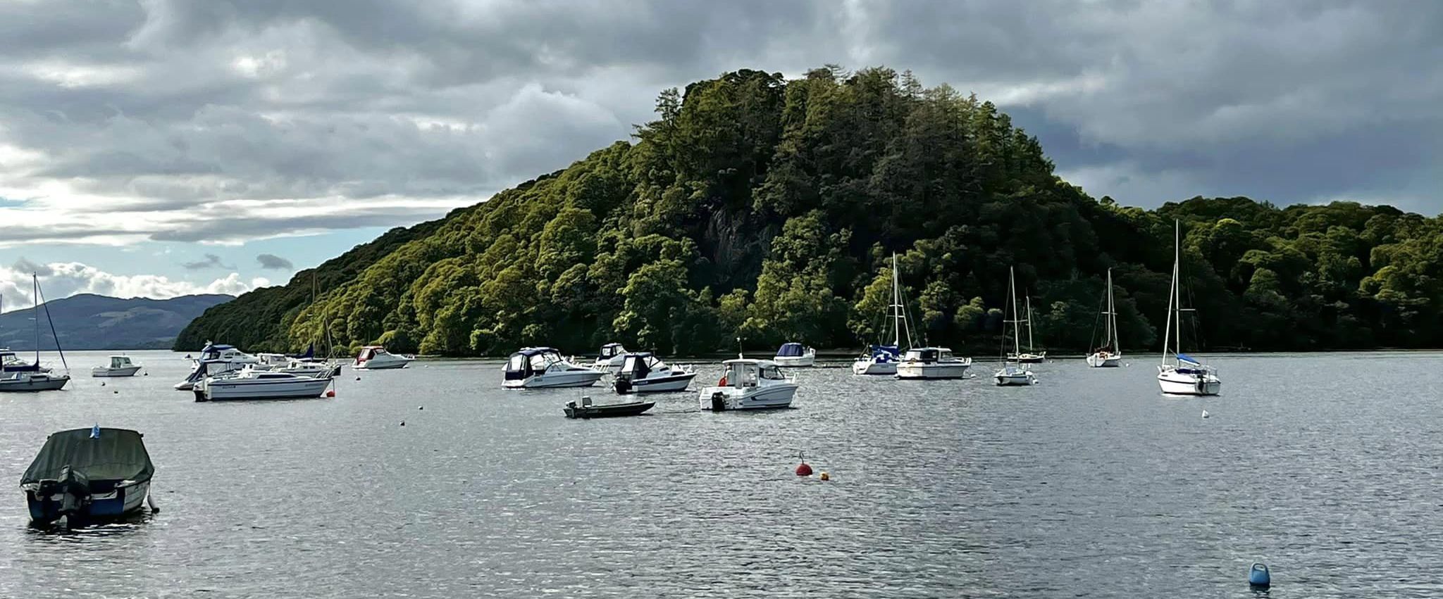
You cross from
Balmaha on the venerable but still sturdy Margaret, built in 1948 and
still going strong.
It's just a few
minutes before you reach the small jetty at the north end of
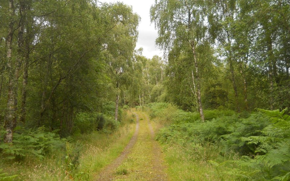
Inchcailloch. Up the worn stone steps
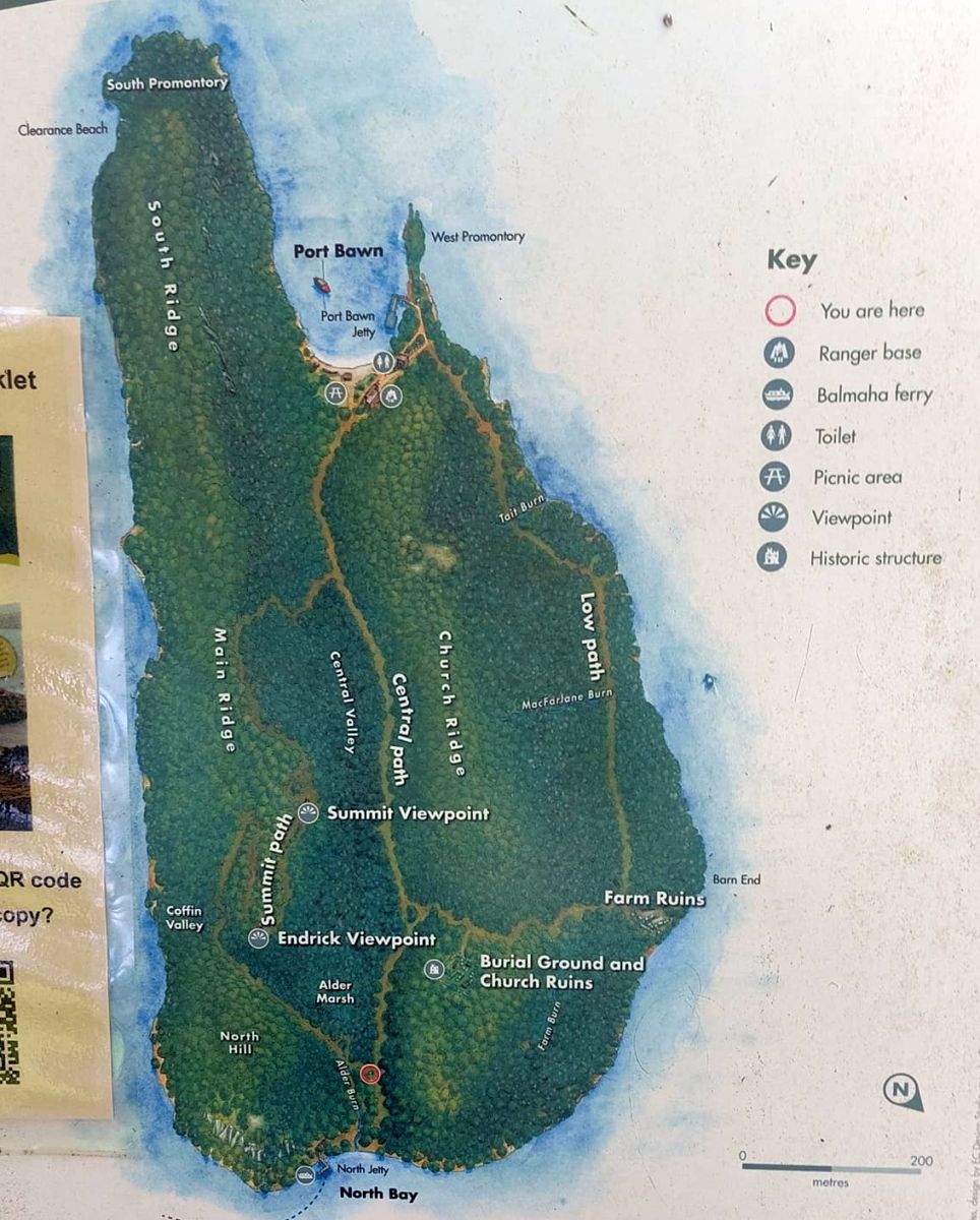
and the path
leads you to an island of delights. We chose to take the summit path
first. It is well engineered and the
extensive tree
cover ensures that the summit view, when you do come to it, is a
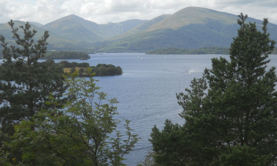
surprise. The panorama is
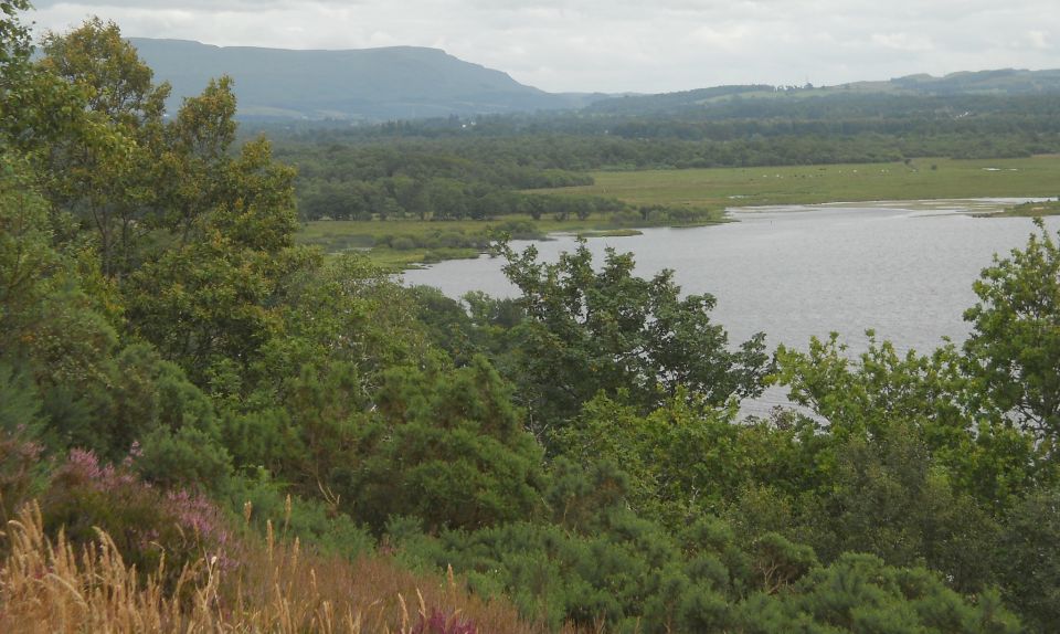
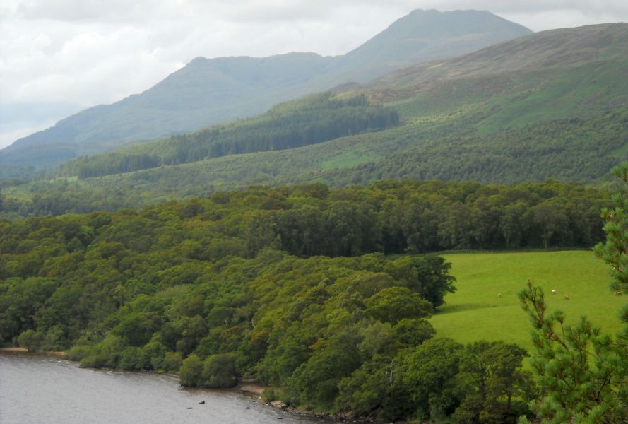
astonishing,
looking north up the full length of the loch, with the high mountains
crowding the horizon and
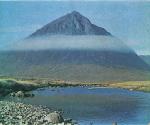
Ben Lomond a
stately peak on the right.
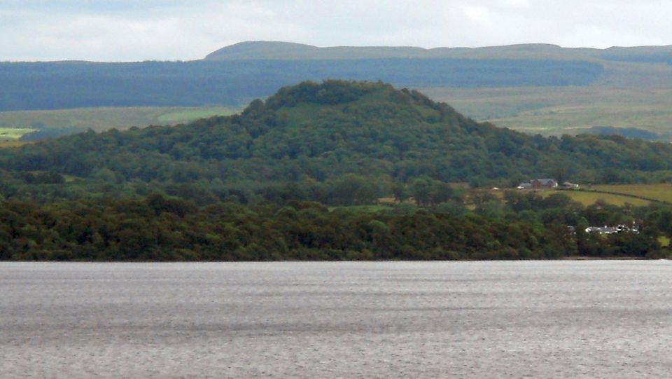
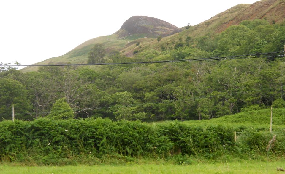
Inchcailloch is
right on the Highland Boundary Fault which separates Highlands and
Lowlands
and you get
several views down the line of islands leading west towards
Helensburgh. Geologists tell us that
around 400
million years ago, two ‘protocontinents’, Laurentia and Avalonia,
collided, pushing the rocks
at the edge into
huge mountains. What we see today is the eroded stump of these massive
hills; regardless of the
geological
facts, the result is sublime.
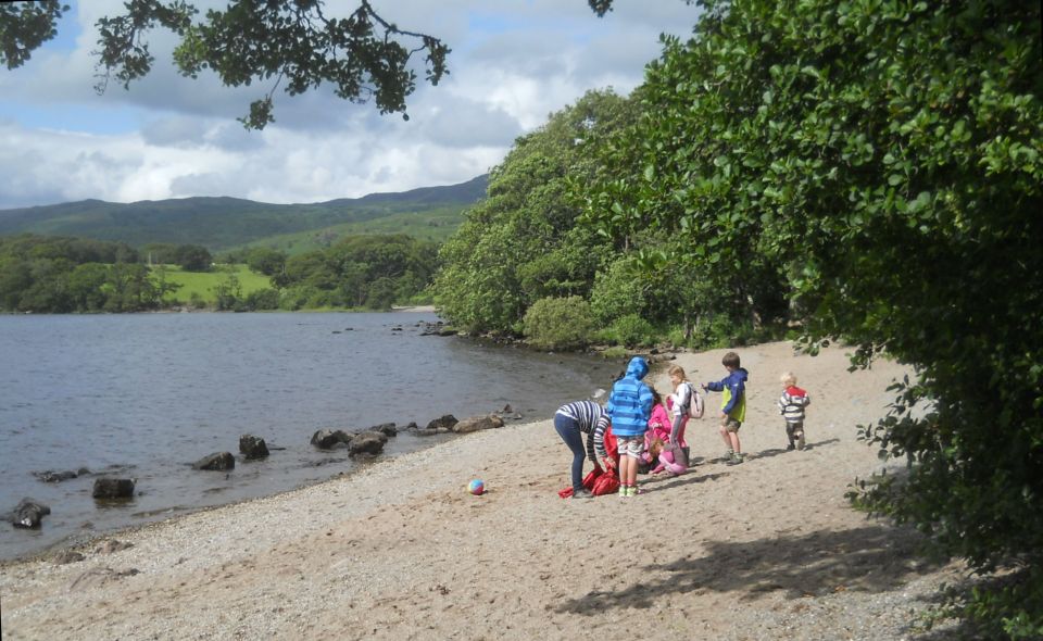
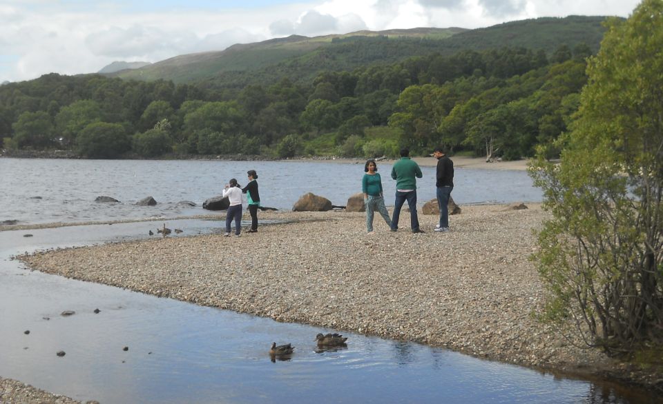
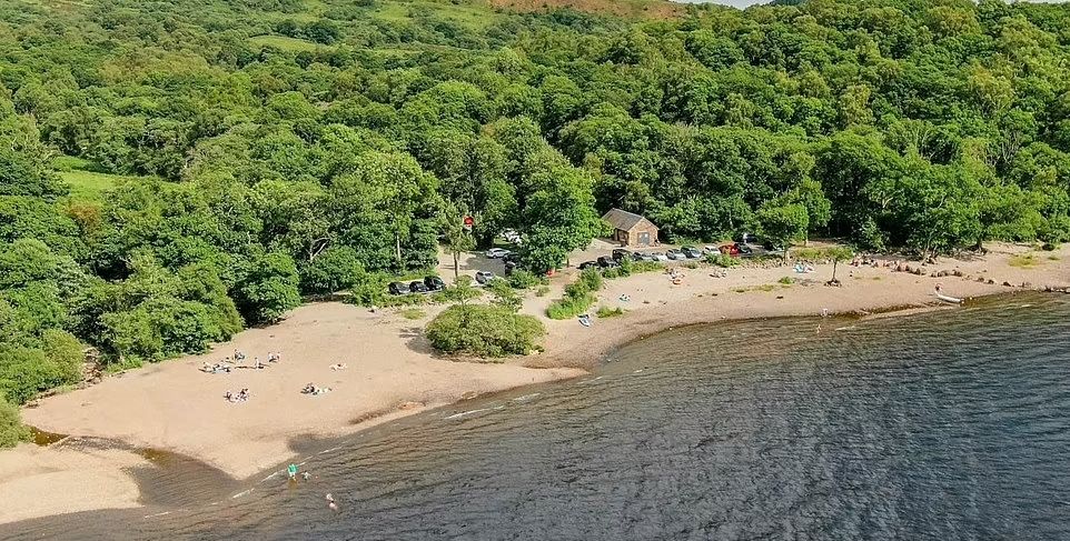
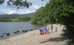
From the summit,
the path leads down to the lovely Port Bawn, which has a good beach,
and then turns back
north. A short
diversion takes you to an old burial ground. There was a church here in
use until about 1770, dedicated to St
Kentigerna, the patron saint of Glasgow. The headstones, some dating
back to the 17th century, include a clan chief of
the McGregors. It is a short walk back to the pier and the return
journey on the Margaret — or you could wander round the paths
again, maybe in the other direction?
The island is a
nature reserve managed on a principle of minimal intervention. This
recognises, for example, that
dead trees
provide valuable habitat for many invertebrates, which are in turn food
for small birds; fallen trees
are therefore
left in situ unless they are dangerous, blocking a path for example.
Before you leave
Balmaha, do go and pay your respects to the statue of Tom Weir, the
much-loved writer
and broadcaster.
The area round the statue has been very nicely developed as a place to
meet and sit for a while;
a good pause for
West Highland Way- walkers too.
A visit to
Inchcailloch cannot but leave you feeling better; such places are
invaluable and we should treasure them.
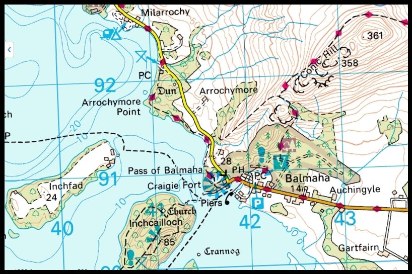
ROUTE PLANNER
Map: OS 1:50,000 Landranger sheet 56 ( Loch Lomond & lnveraray ) or
1:25,000 Explorer sheet 347 (Loch Lomond South).
Distance: 2miles / 3.5km.
Time: 2 hours.
Start/Finish: lnchcailloch North Pier (GR: NS413906).
Public transport: Bus 309 runs from Drymen to Balmaha. Buses from
Drymen to Stirling or Glasgow via Balfron.
Details from www.travelinescotland.com
Information: Balmaha National Park Centre ( 01389 722100 ) or www.lochlomond-trossachs.org
Route: Climb the steps from the jetty and follow the path to the right.
At a junction go L ( summit path ).
Follow path, with several stepped sections, up to the summit.
Continue downhill through woods and at junction TL to Port Bawn.
Follow path past toilet block heading north.
In 1km divert L to see old burial ground.
Return to path, go sharp L downsteps and continue to junction.
TL to return to jetty.
Note: The ferry to lnchcailloch is operated by Macfarlane & Son (
01360 870214) and leaves from Balmaha boatyard.
It runs every 30 minutes in summer, and the return tare is £5 for
adults and £2.50 for children under 16.


 :: Conic
Hill Gallery
:: Conic
Hill Gallery 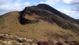 :: West Highland
Way
:: West Highland
Way