|
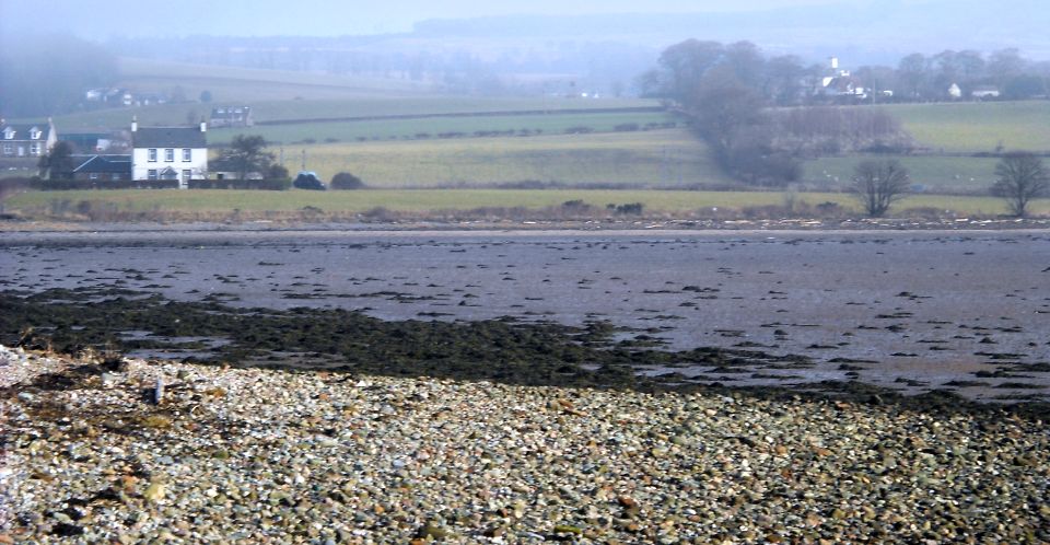
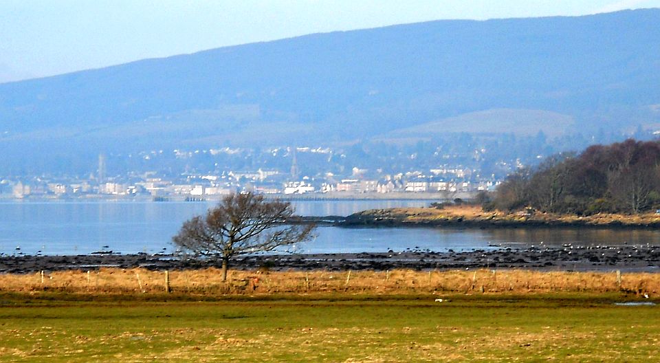
Firth of ClydeArdmore Point
|
  |
| |
Firth of ClydeArdmore Point
|
|
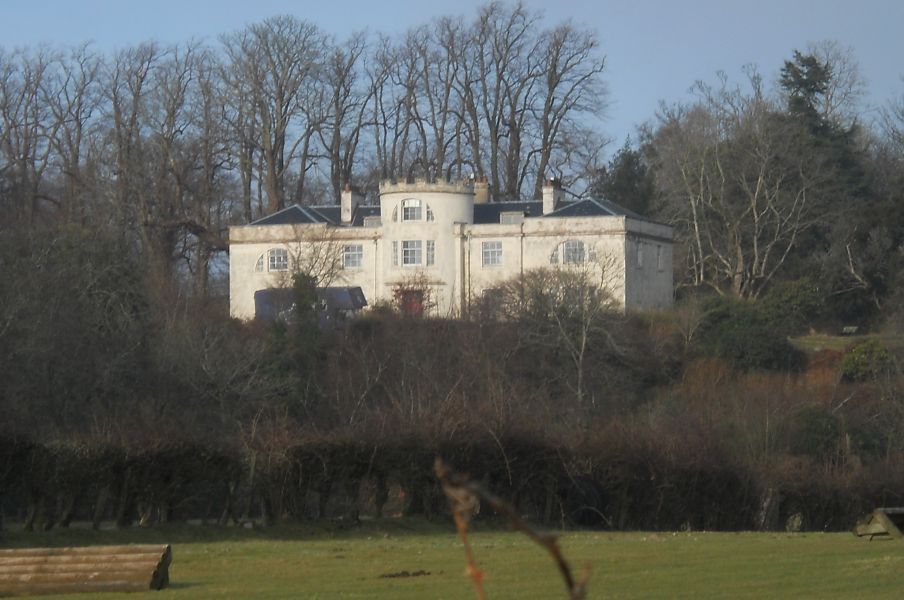
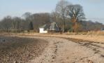
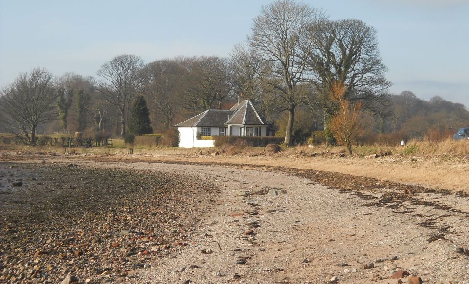 Shore
and Estate Lodge Gate House
on Ardmore Peninsula |
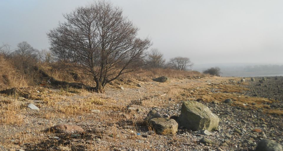 Shore on
Ardmore Peninsula
|
 |
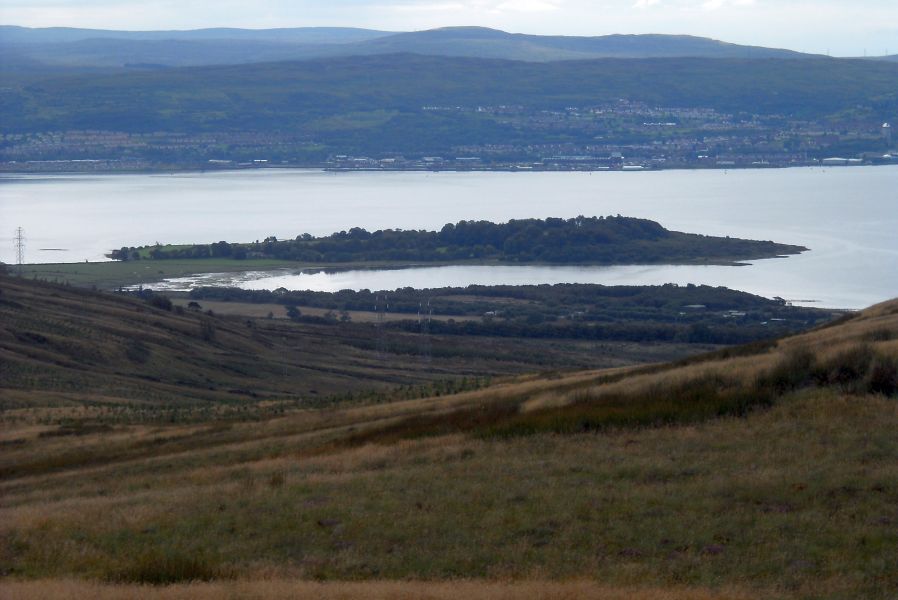
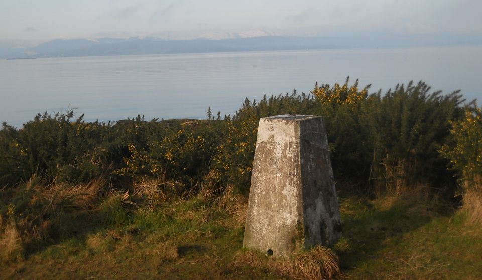 Cowal
Peninsula
from the trig post at Ardmore Point |
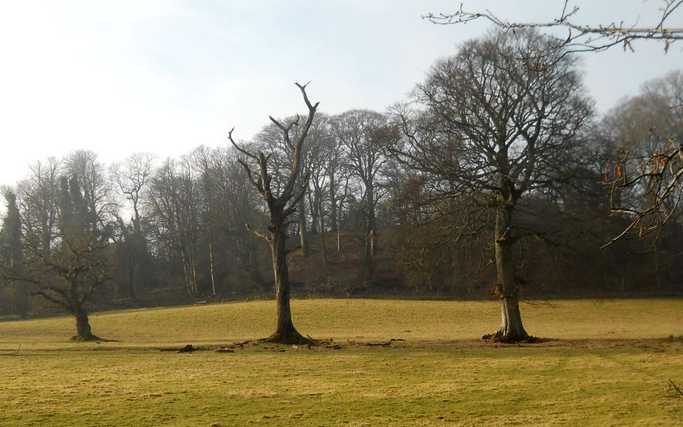 Woodlands
on Ardmore Peninsula
|
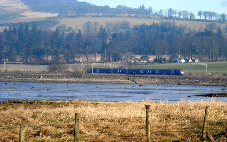 |
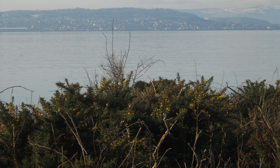
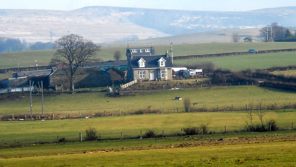 Farm on
mainland
from Ardmore Peninsula |
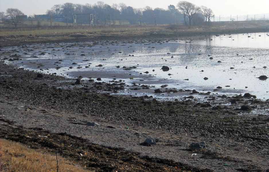 Bay at
Ardmore Peninsula
|
 |
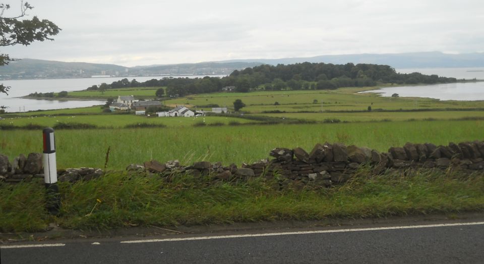 Ardmore
Peninsula from
A814
|
 |
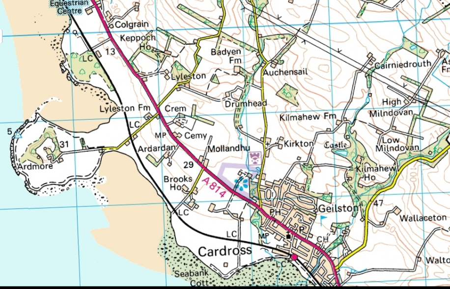 Map of
Ardmore Peninsula
|
ARDMORE POINT CIRCULAR WALK - ROUTE DESCRIPTION:
 :: Helensburgh
Gallery
:: Helensburgh
Gallery 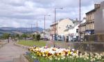
Glencoe | Ben Nevis | Knoydart | Isle of Skye | Isle of Arran | The West Highland Way
The Eastern Highlands | The Central Highlands | The Southern Highlands | The NW Highlands