Bearsden Burgh - Coat of Arms - "Bear the Gree" The Whangie Bearsden Burgh - Coat of Arms - "Bear the Gree"

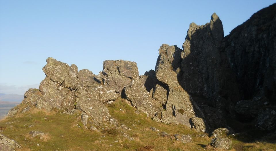
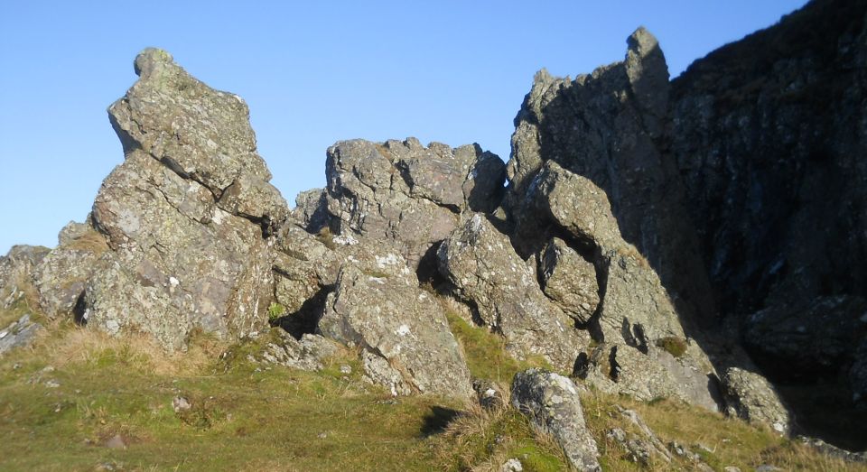
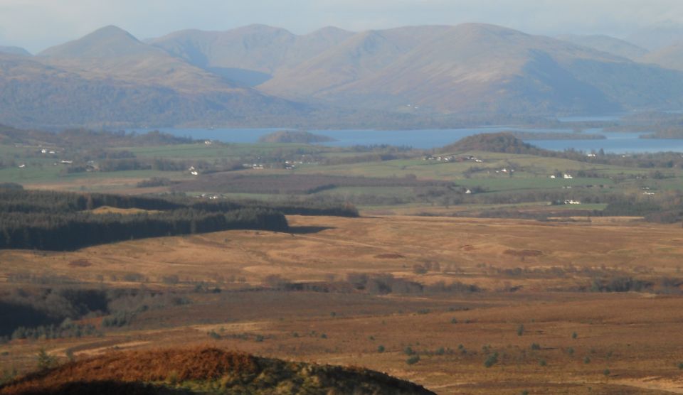
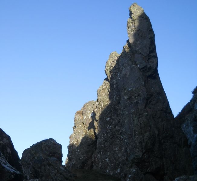
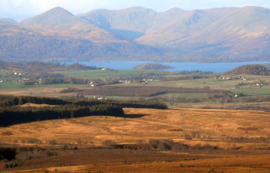
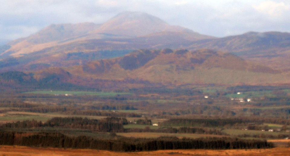
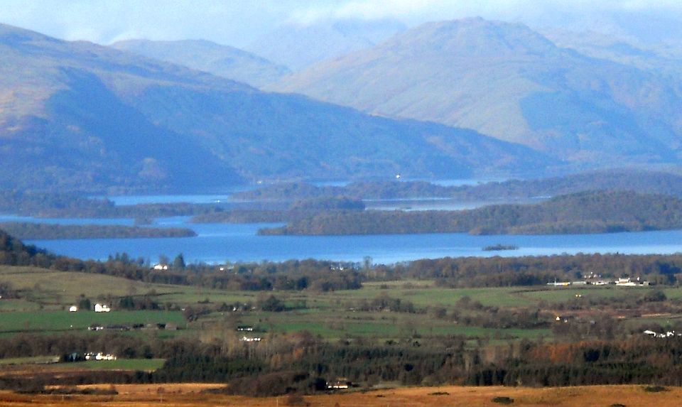
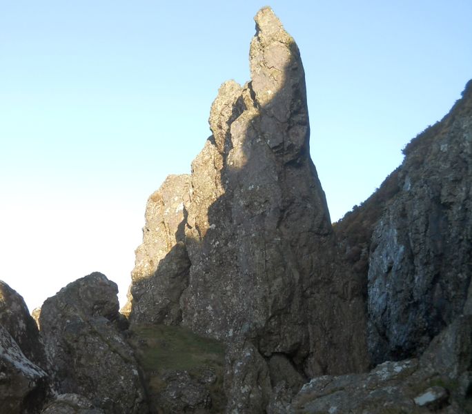
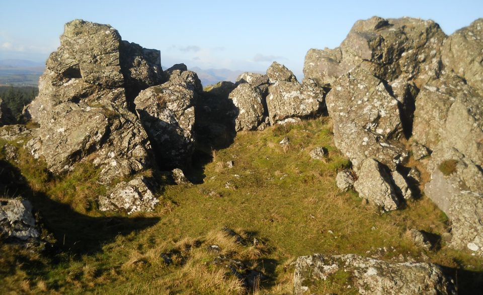
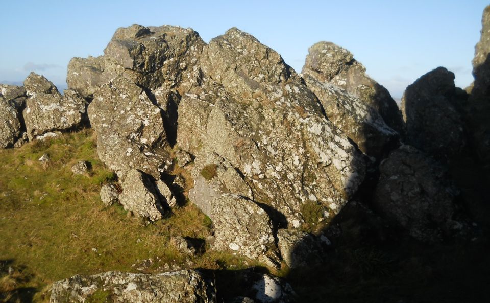
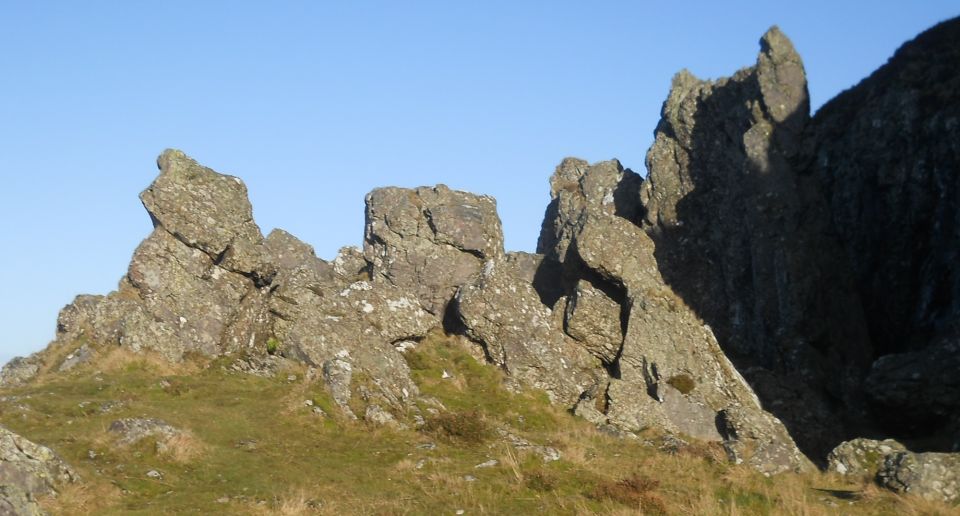
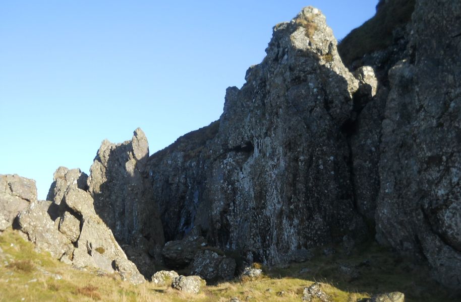
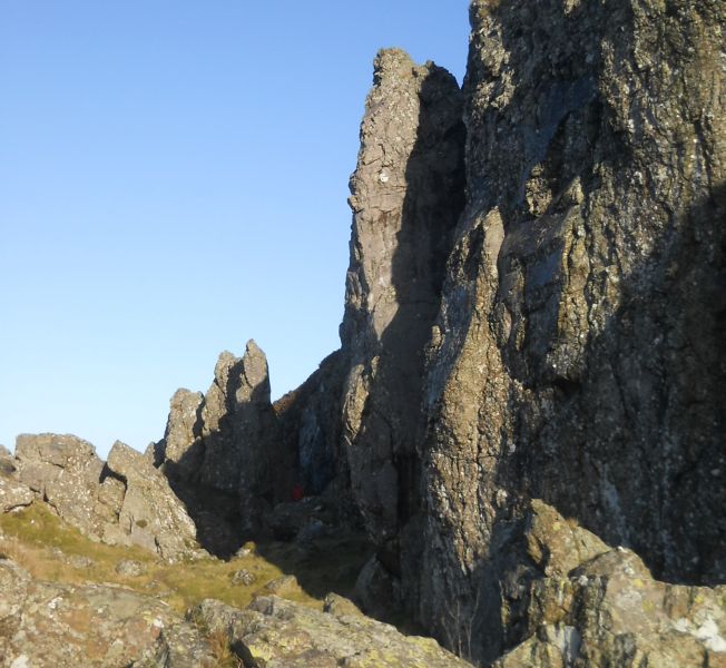
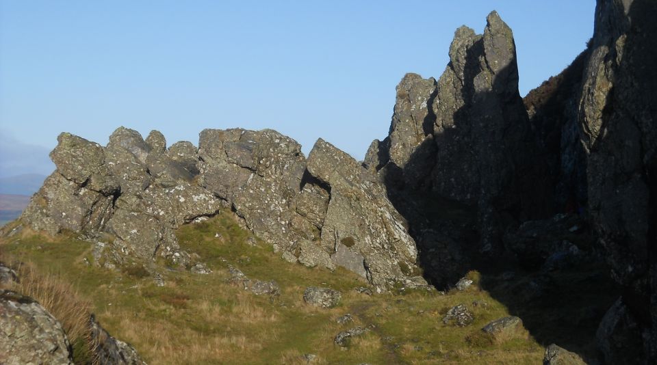
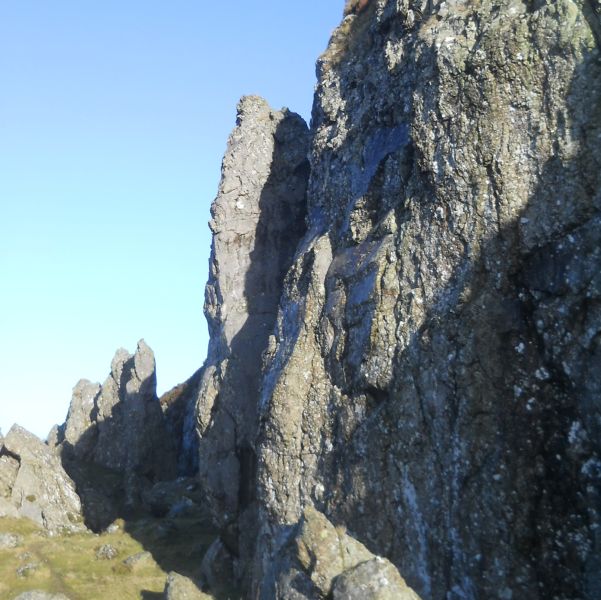
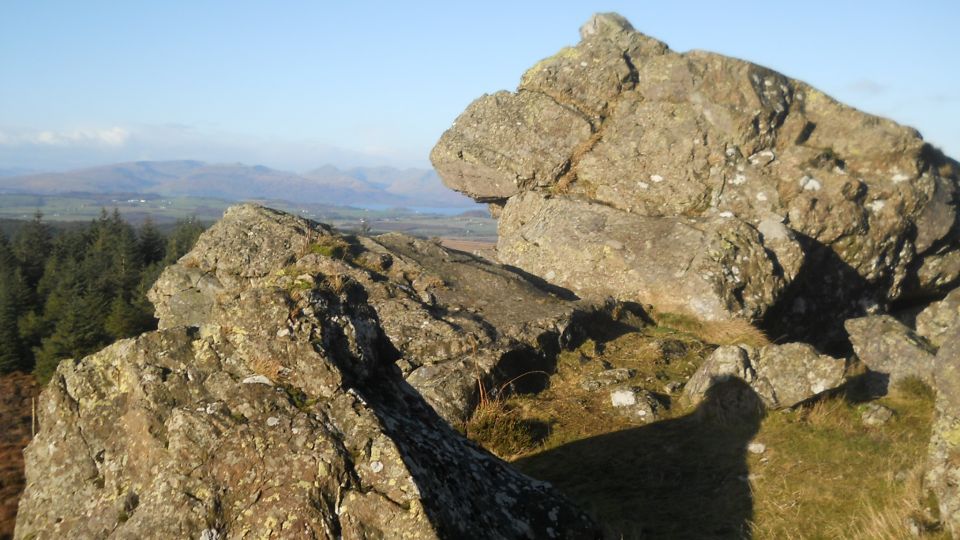
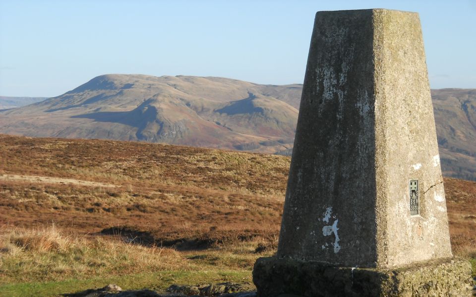
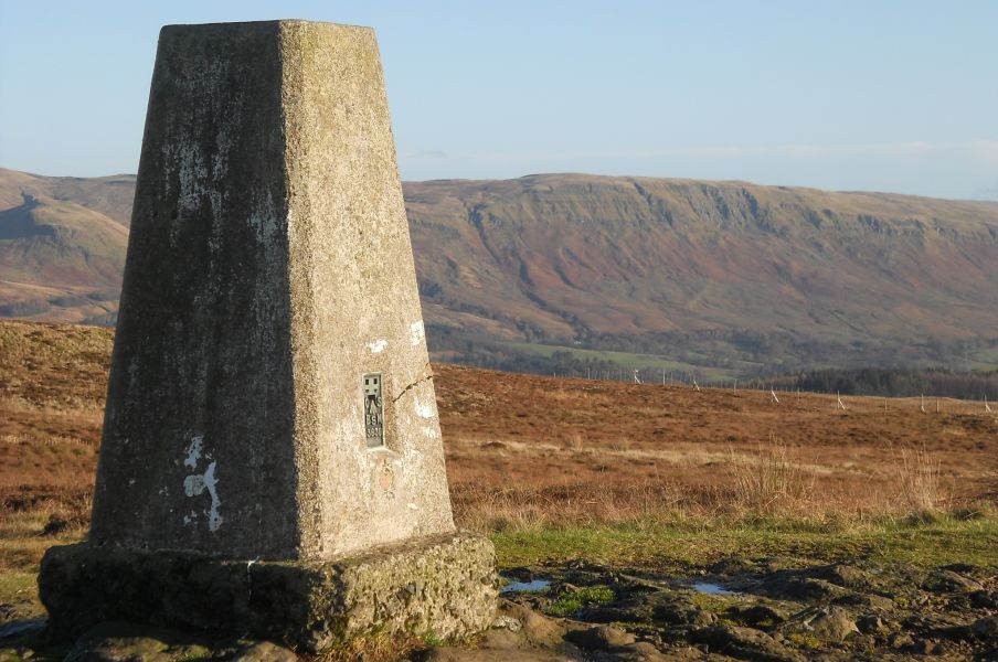
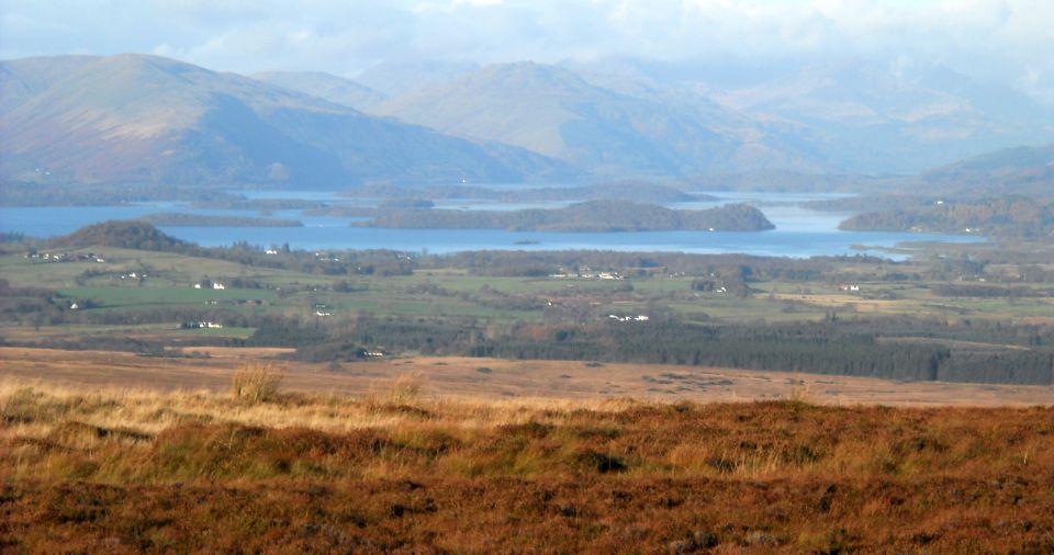
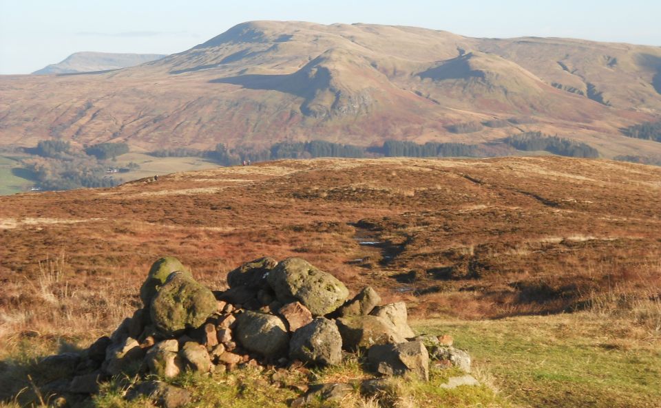
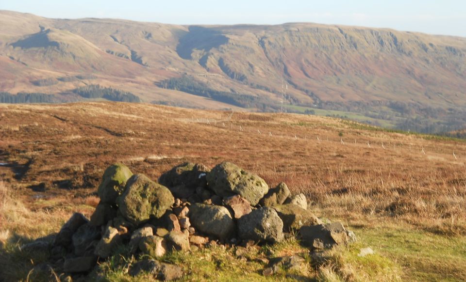
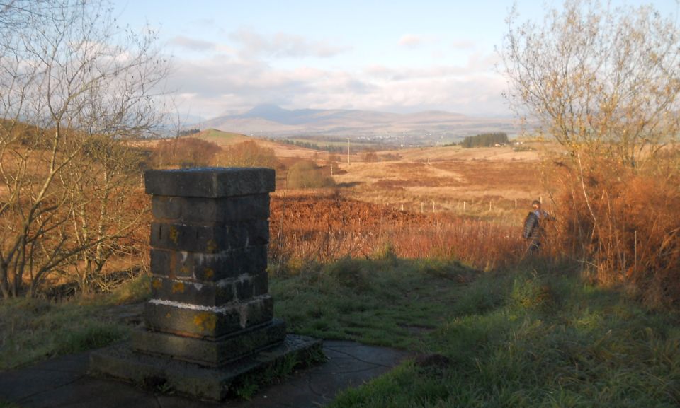
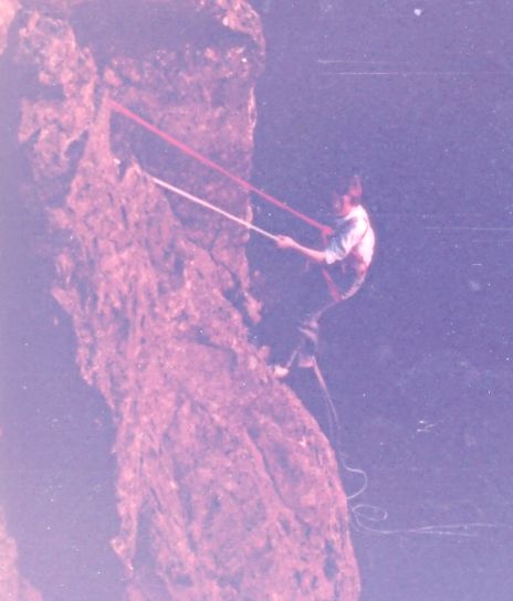
A Photo Gallery of The Whangie beneath Auchineden Hill in the Kilpatrick Hills.

This is a deep narrow fissure with pinnacles bounded on both sides by steep walls of rock.


It is a popular walk and a location for practice rock-climbing.

According to local legend The Whangie was created by

 the Devil whipping his tail in excitement.


West Highland Way: Official GuideWest Highland Way: Rucksac ReadersWest Highland Way: TrailblazerThe West Highland WayWest Highland Way: Footprint MapWest Highland Way - Map West Highland Way - Map West Highland Way  Ochils and Campsie Fells


1   2   3   4  


<< Previous         Next >>


DSCN3652.JPG
DSCN3652
960 x 528


DSCN3653.JPG
DSCN3653
960 x 523


DSCN3654.JPG
DSCN3654
960 x 556


DSCN3655.JPG
DSCN3655
652 x 600


DSCN3656.JPG
DSCN3656
936 x 600


DSCN3657.JPG
DSCN3657
960 x 516


DSCN3658.JPG
DSCN3658
960 x 573


DSCN3659.JPG
DSCN3659
684 x 600


DSCN3660.JPG
DSCN3660
960 x 587


DSCN3661.JPG
DSCN3661
960 x 593


DSCN3662.JPG
DSCN3662
960 x 516


DSCN3663.JPG
DSCN3663
914 x 600


DSCN3664.JPG
DSCN3664
652 x 600


DSCN3665.JPG
DSCN3665
960 x 534


DSCN3666.JPG
DSCN3666
601 x 600


DSCN3667.JPG
DSCN3667
960 x 540


DSCN3668.JPG
DSCN3668
960 x 599


DSCN3669.JPG
DSCN3669
904 x 600


DSCN3670.JPG
DSCN3670
960 x 506


DSCN3671.JPG
DSCN3671
960 x 593


DSCN3672.JPG
DSCN3672
960 x 582


DSCN3673.JPG
DSCN3673
960 x 577


Dumgoyne_map.jpg
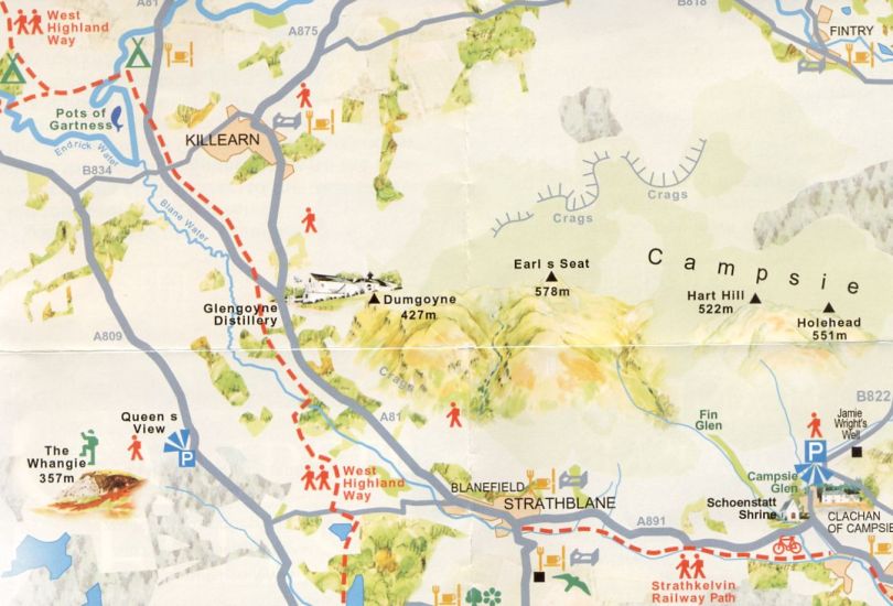
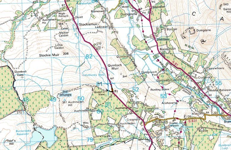
Dumgoyne map
779 x 506


Dumgoyne_map_2.jpg
Dumgoyne map 2
810 x 550
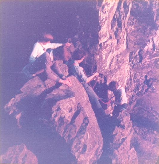

abseiling.jpg
abseiling
533 x 550


abseiling_2.jpg
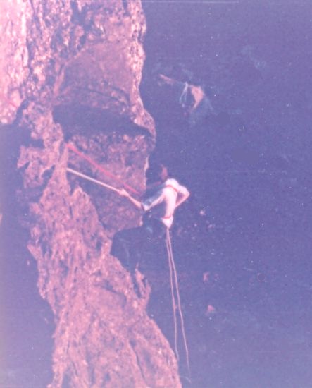
abseiling 2
443 x 550


abseiling_3.jpg
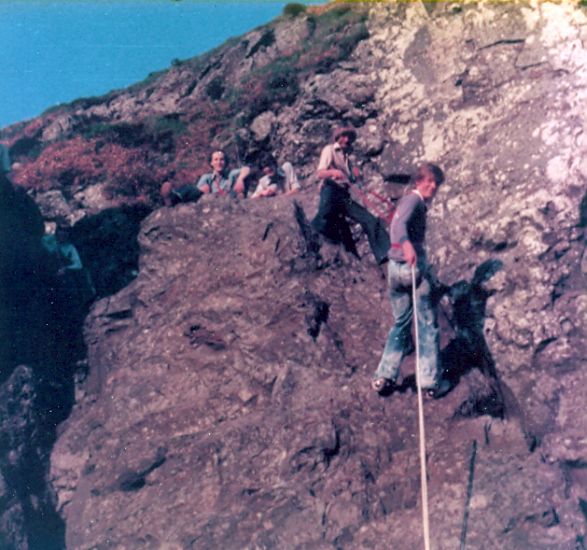
abseiling 3
587 x 550


abseiling_4.jpg
abseiling 4
464 x 544


1   2   3   4  


<< Previous         Next >>


The Whangie

Bearsden Index :: Bearsden Walks


Glasgow :: Edinburgh

Scotland Index :: Scottish Peaks :: West Highland Way :: Campsie Fells

Worldwide Mountaineering :: Adventure Travel :: Site Index

fb icon  google+ icon Linkedin icon  twitter


Travel & Guide Books & Maps - Scotland:-


Western Scotland & the Western Isles OS Road Map Northern Scotland OS Road Map Southern Scotland OS Road Map Glasgow Popular Hills - Map


Ochils and Campsie Fells

Glasgow Visitor Guide - Colin Baxter Itchy Insider's Guide to Glasgow Glasgow Footprint Pocket Guide Glasgow Insight Pocket Guide Glasgow Guide Pub Companion Glasgow Scotland's Highlands & Islands - Rough Guide Scotland - Rough Guide

Glasgow Insight Pocket GuideCollins Street Map of GlasgowGlasgow: Then & NowThey belonged to Glasgow Phillips Street Atlas of Glasgow & West Central Scotland Glasgow: The Photographic Atlas100 Hillwalks around Glasgow 50 Walks in Glasgow & SW Scotland

Great Glasgow StoriesGlasgow & Surroundings - Insight Guide In and around Glasgow - 25 Walks Visit Scotland - Touring Guide Scotland: Where to Stay - Hotels & Guest Houses Scotland: Where to Stay - Bed & Breakfast Rough Guide ScotlandScottish Highlands & Islands - Rough Guide Scotland - Lonely Planet

Scotland's Highlands & Islands - Lonley Planet West Highland Way: Official GuideWest Highland Way: Rucksac ReadersWest Highland Way: TrailblazerThe West Highland WayWest Highland Way: Footprint MapWest Highland Way - Map West Highland Way - Map West Highland Way

Wet Highland Way - Official Guide West Highland Way - Official Guide 25 Walks in & around Glasgow 25 Cycle Routes in & around Glasgow


Google Analytics


Google Analytics


extremetracking
 eXTReMe Tracker


extremetracking
Sitelock caingram.com
SiteLock
Sitelock
Sitelock caingram.info
SiteLock
Sitelock