Bearsden Burgh - Coat of Arms - "Bear the Gree" The Whangie Bearsden Burgh - Coat of Arms - "Bear the Gree"

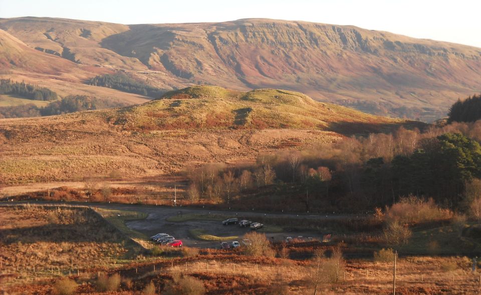
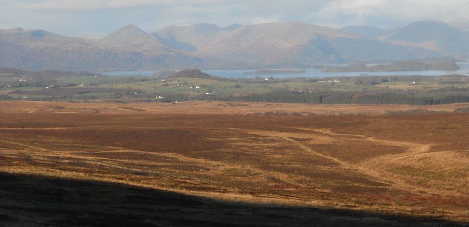
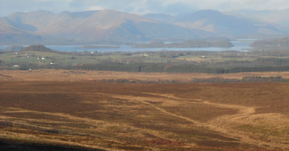
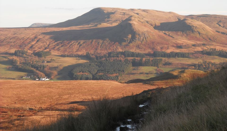
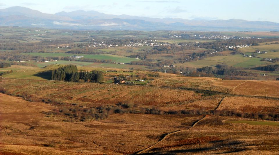
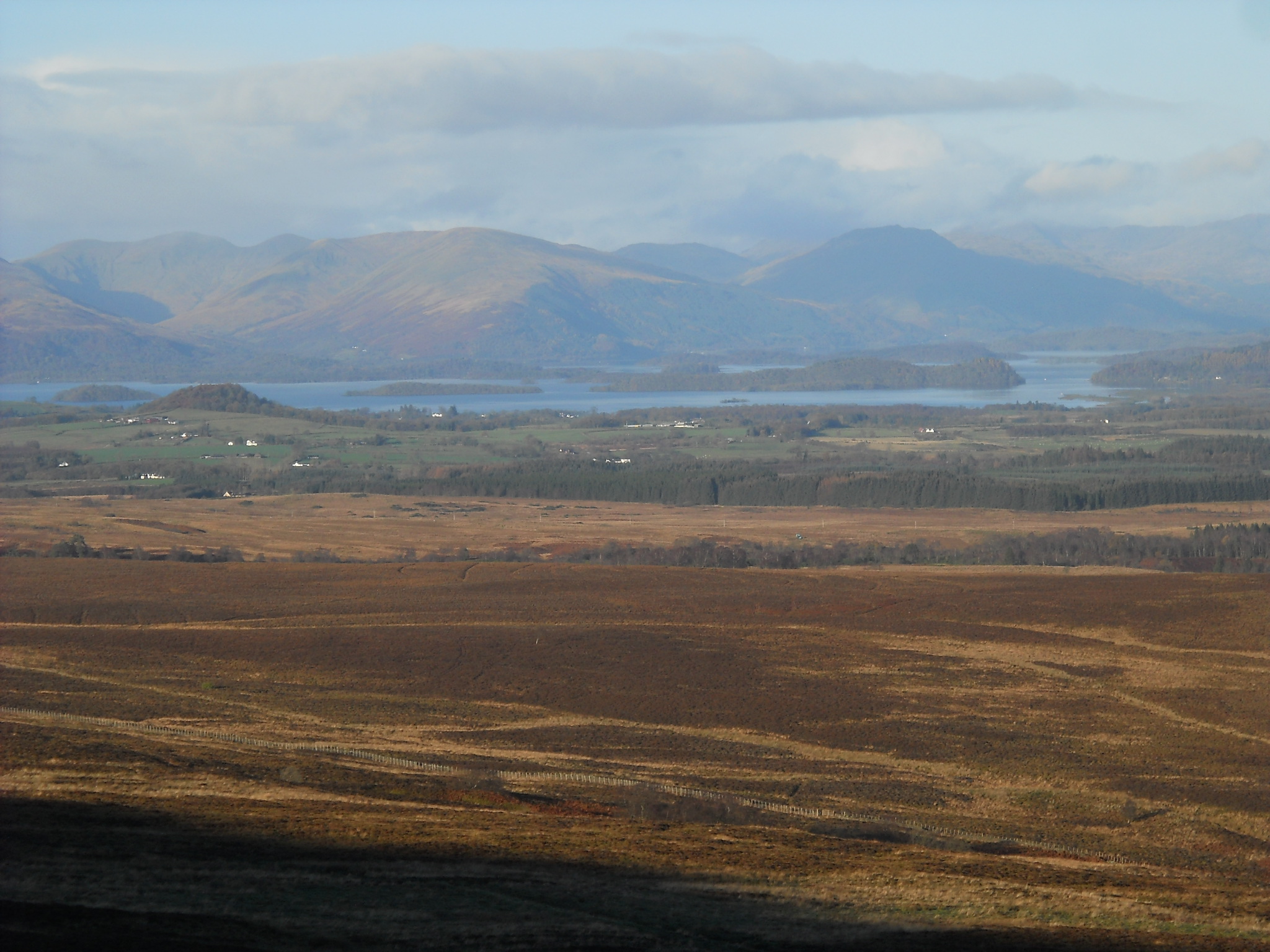
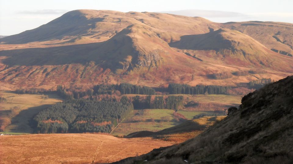
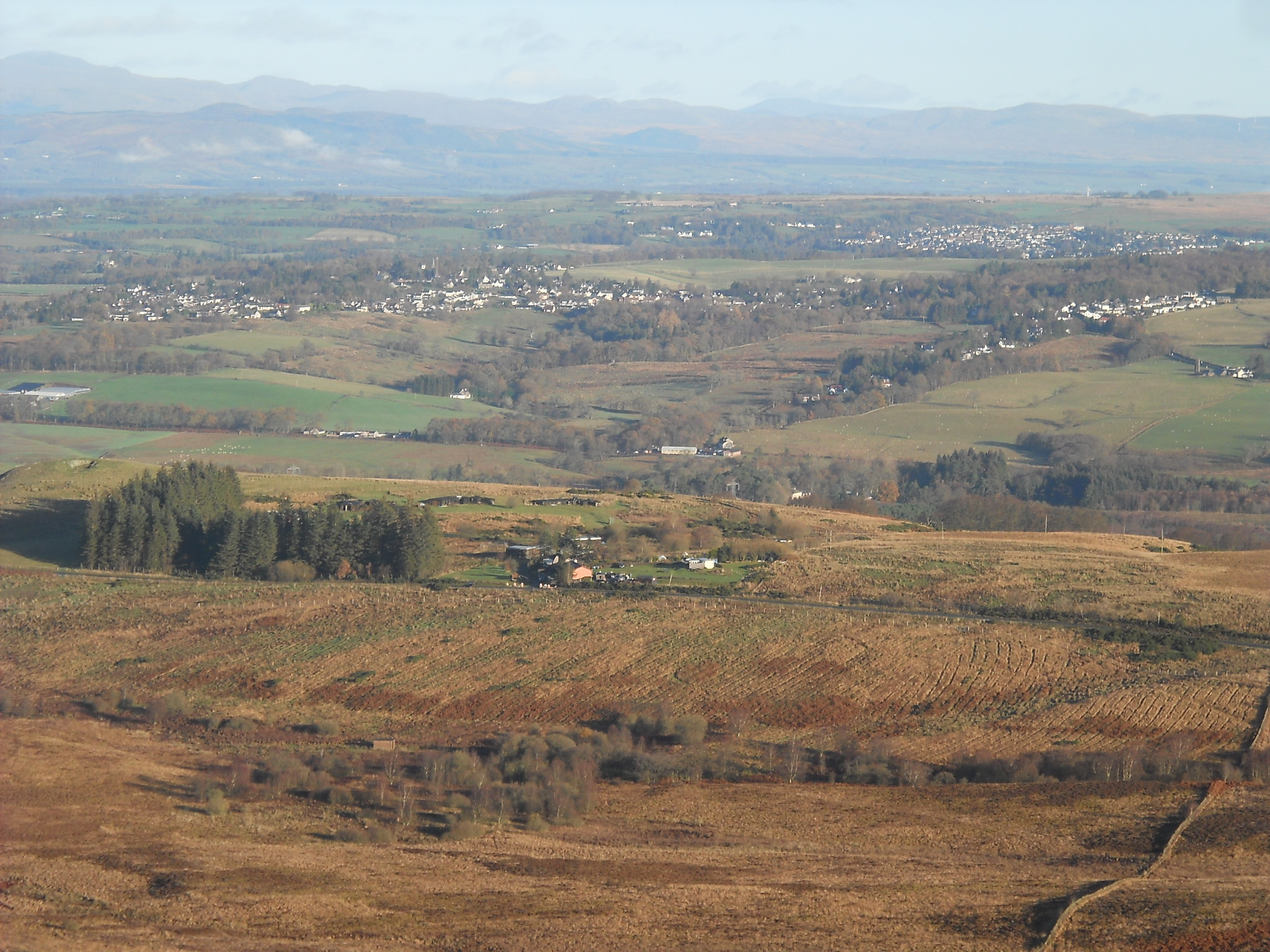
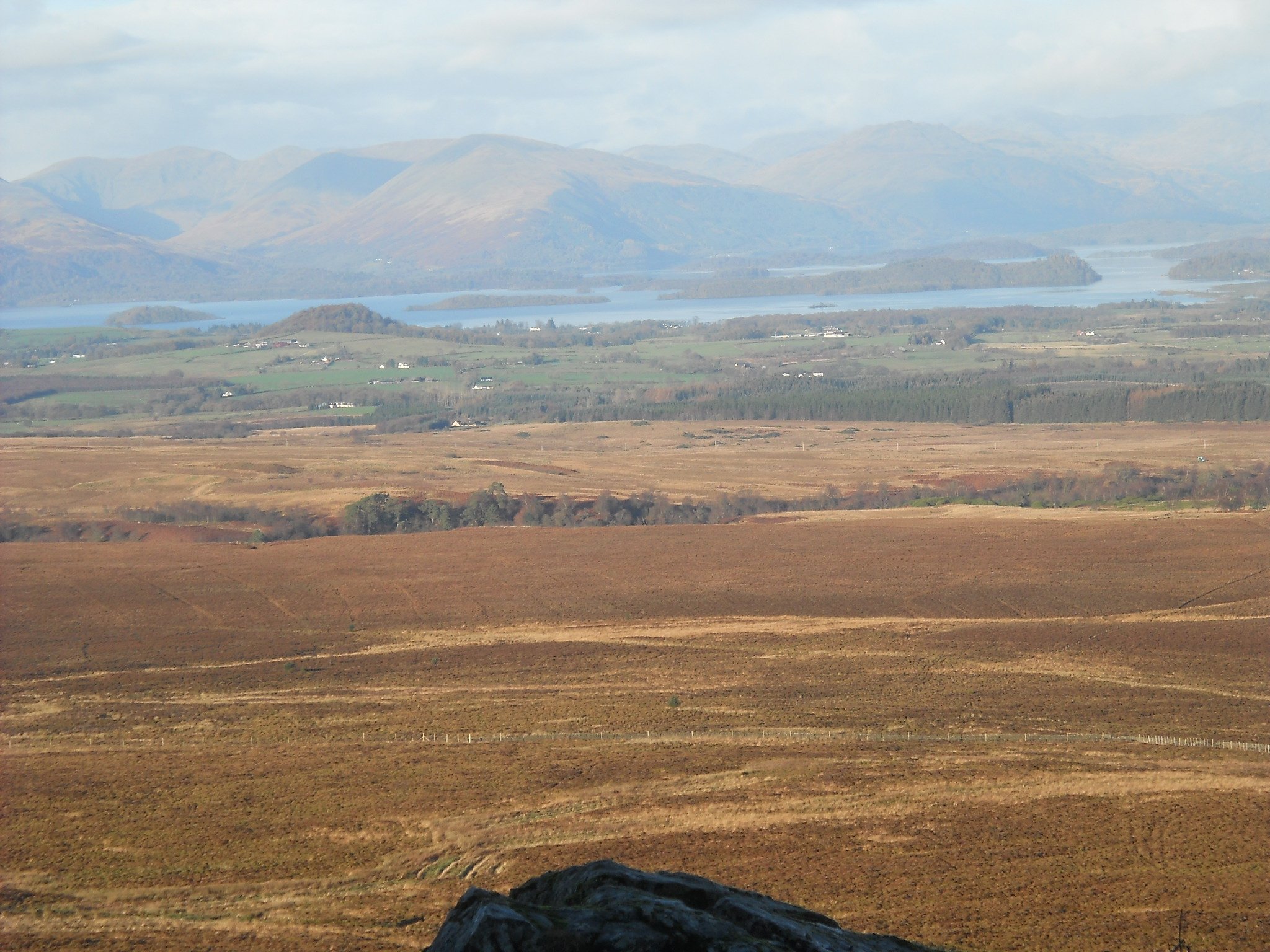
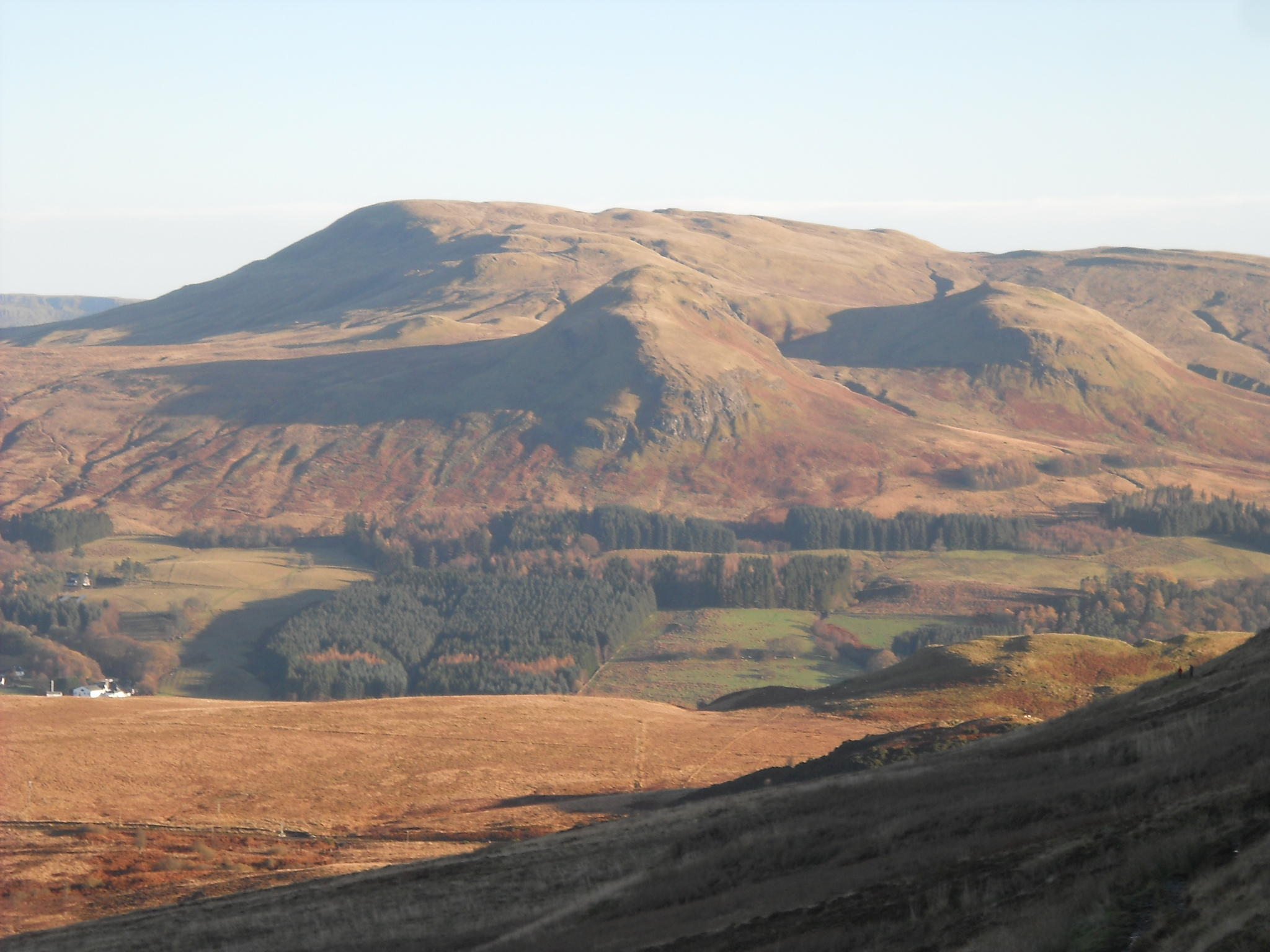
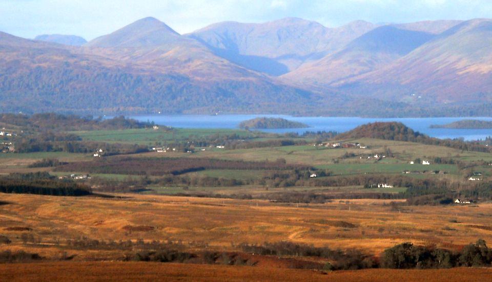
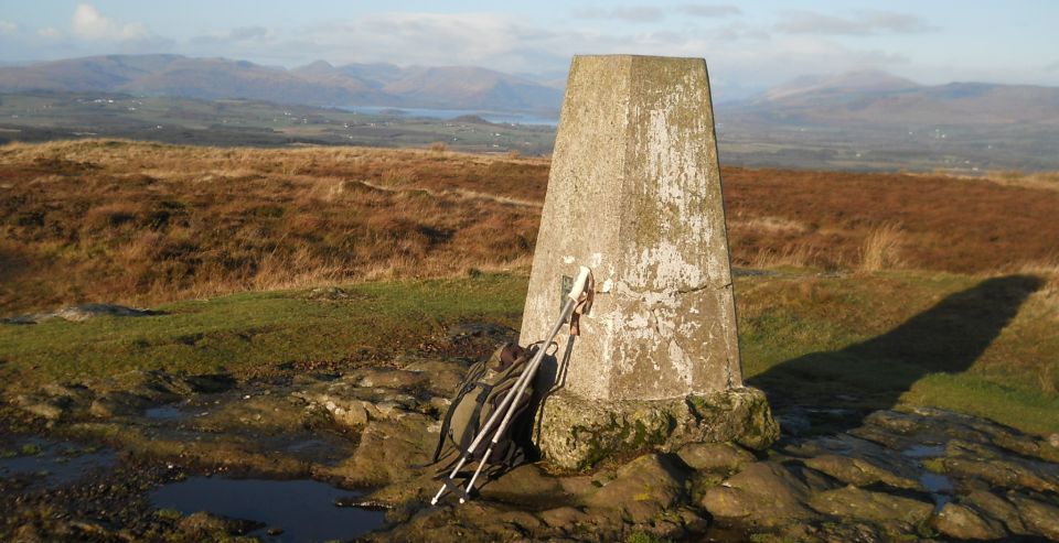
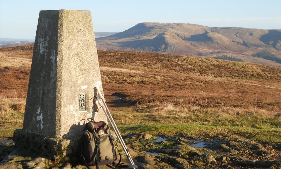
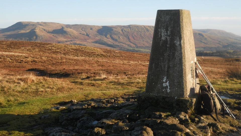
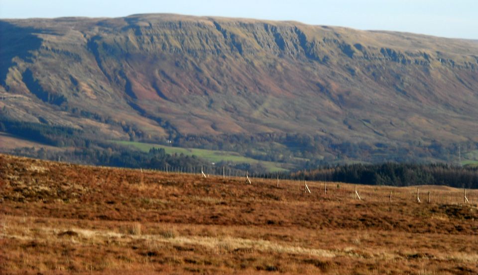
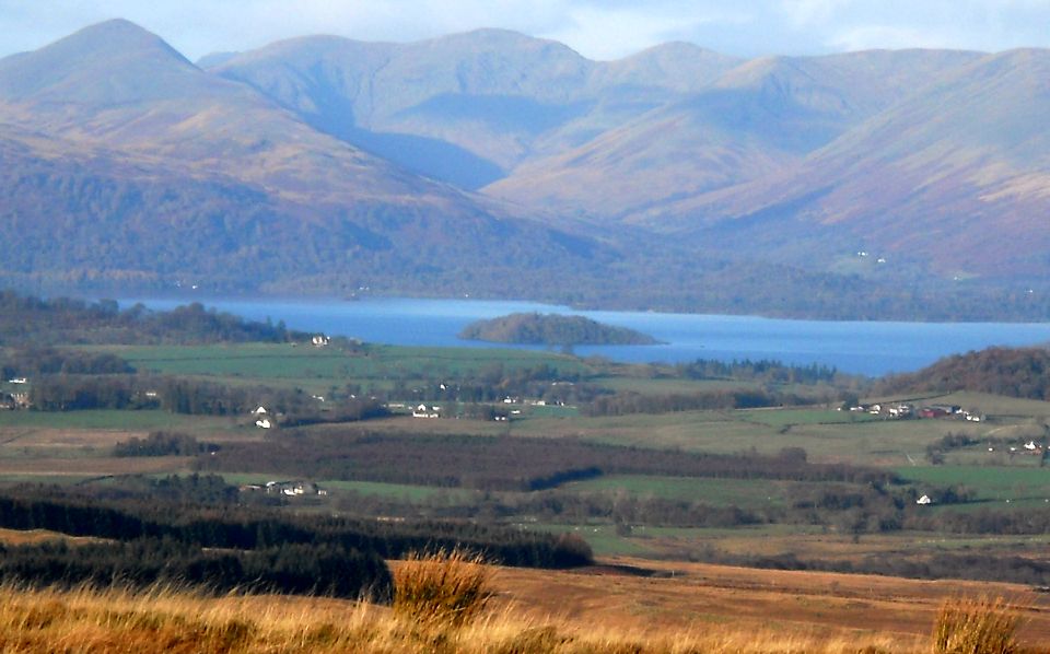
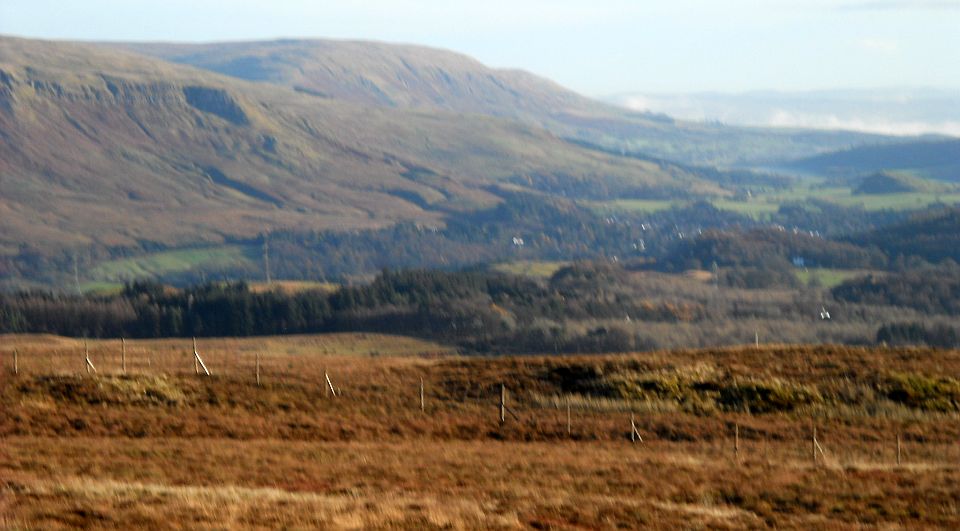
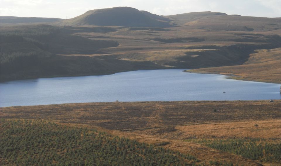
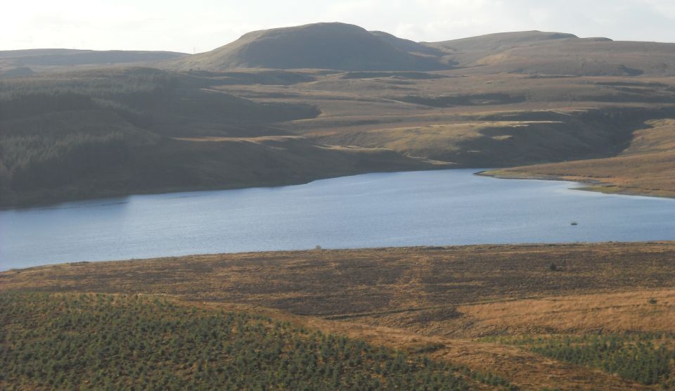
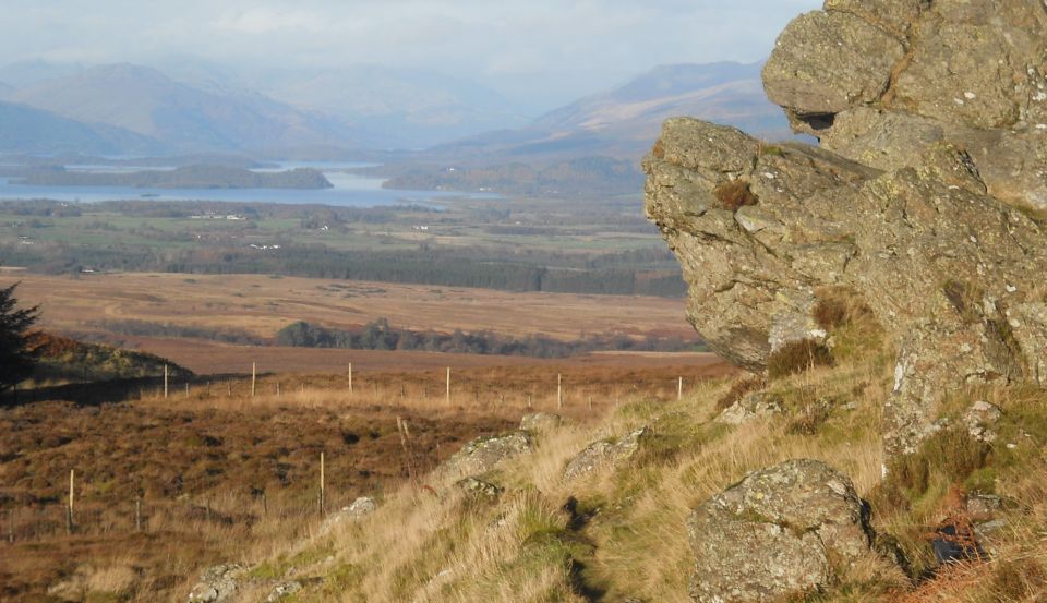
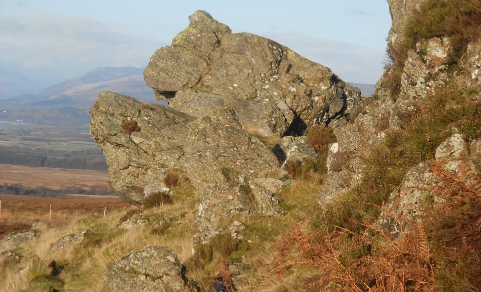
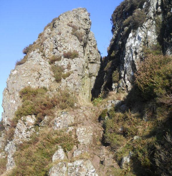
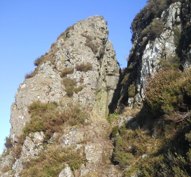
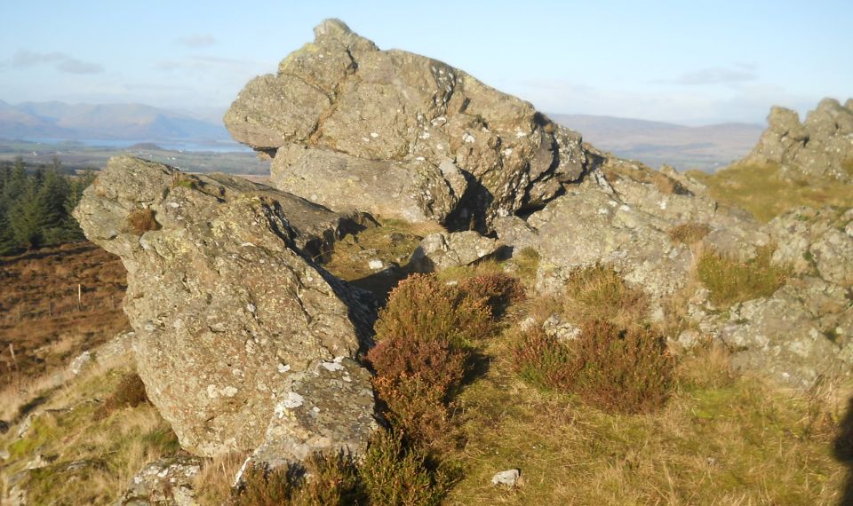
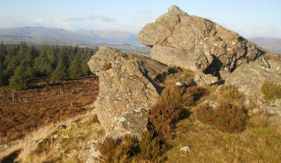
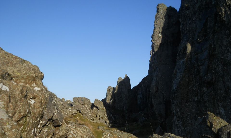
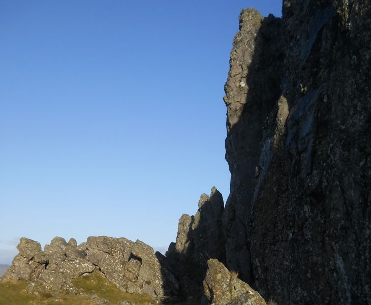
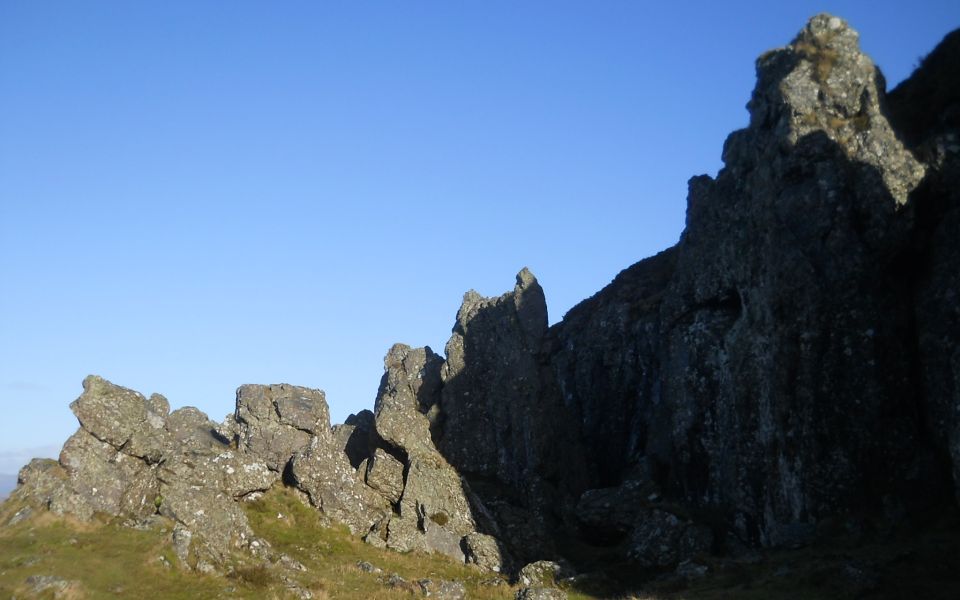
A Photo Gallery of The Whangie beneath Auchineden Hill in the Kilpatrick Hills.

This is a deep narrow fissure with pinnacles bounded on both sides by steep walls of rock.


It is a popular walk and a location for practice rock-climbing.

According to local legend The Whangie was created by

 the Devil whipping his tail in excitement.


West Highland Way: Official GuideWest Highland Way: Rucksac ReadersWest Highland Way: TrailblazerThe West Highland WayWest Highland Way: Footprint MapWest Highland Way - Map West Highland Way - Map West Highland Way  Ochils and Campsie Fells


1   2   3   4  


<< Previous         Next >>


DSCN3624.JPG
DSCN3624
960 x 590


DSCN3625.JPG
DSCN3625
960 x 465


DSCN3626.JPG
DSCN3626
960 x 501


DSCN3627.JPG
DSCN3627
960 x 555


DSCN3628.JPG
DSCN3628
960 x 534


DSCN3629.JPG
DSCN3629
2048 x 1536


DSCN3630.JPG
DSCN3630
960 x 538


DSCN3631.JPG
DSCN3631
2048 x 1536


DSCN3632.JPG
DSCN3632
2048 x 1536


DSCN3633.JPG
DSCN3633
2048 x 1536


DSCN3634.JPG
DSCN3634
960 x 551


DSCN3635.JPG
DSCN3635
960 x 493


DSCN3636.JPG
DSCN3636
960 x 578


DSCN3637.JPG
DSCN3637
960 x 541


DSCN3638.JPG
DSCN3638
960 x 553


DSCN3639.JPG
DSCN3639
960 x 598


DSCN3640.JPG
DSCN3640
960 x 531


DSCN3641.JPG
DSCN3641
960 x 566


DSCN3642.JPG
DSCN3642
960 x 556


DSCN3643.JPG
DSCN3643
960 x 553


DSCN3644.JPG
DSCN3644
960 x 583


DSCN3645.JPG
DSCN3645
587 x 600


DSCN3646.JPG
DSCN3646
647 x 600


DSCN3647.JPG
DSCN3647
960 x 570


DSCN3648.JPG
DSCN3648
960 x 558


DSCN3649.JPG
DSCN3649
960 x 573


DSCN3650.JPG
DSCN3650
730 x 600


DSCN3651.JPG
DSCN3651
960 x 600


1   2   3   4  


<< Previous         Next >>


The Whangie

Bearsden Index :: Bearsden Walks


Glasgow :: Edinburgh

Scotland Index :: Scottish Peaks :: West Highland Way :: Campsie Fells

Worldwide Mountaineering :: Adventure Travel :: Site Index

fb icon  google+ icon Linkedin icon  twitter


Travel & Guide Books & Maps - Scotland:-


Western Scotland & the Western Isles OS Road Map Northern Scotland OS Road Map Southern Scotland OS Road Map Glasgow Popular Hills - Map


Ochils and Campsie Fells

Glasgow Visitor Guide - Colin Baxter Itchy Insider's Guide to Glasgow Glasgow Footprint Pocket Guide Glasgow Insight Pocket Guide Glasgow Guide Pub Companion Glasgow Scotland's Highlands & Islands - Rough Guide Scotland - Rough Guide

Glasgow Insight Pocket GuideCollins Street Map of GlasgowGlasgow: Then & NowThey belonged to Glasgow Phillips Street Atlas of Glasgow & West Central Scotland Glasgow: The Photographic Atlas100 Hillwalks around Glasgow 50 Walks in Glasgow & SW Scotland

Great Glasgow StoriesGlasgow & Surroundings - Insight Guide In and around Glasgow - 25 Walks Visit Scotland - Touring Guide Scotland: Where to Stay - Hotels & Guest Houses Scotland: Where to Stay - Bed & Breakfast Rough Guide ScotlandScottish Highlands & Islands - Rough Guide Scotland - Lonely Planet

Scotland's Highlands & Islands - Lonley Planet West Highland Way: Official GuideWest Highland Way: Rucksac ReadersWest Highland Way: TrailblazerThe West Highland WayWest Highland Way: Footprint MapWest Highland Way - Map West Highland Way - Map West Highland Way

Wet Highland Way - Official Guide West Highland Way - Official Guide 25 Walks in & around Glasgow 25 Cycle Routes in & around Glasgow


Google Analytics


Google Analytics


extremetracking
 eXTReMe Tracker


extremetracking
Sitelock caingram.com
SiteLock
Sitelock
Sitelock caingram.info
SiteLock
Sitelock