  |
Bearsden & DistrictTorrance - Lennox Forest |
  |
| |
Bearsden & DistrictTorrance - Lennox Forest |
|
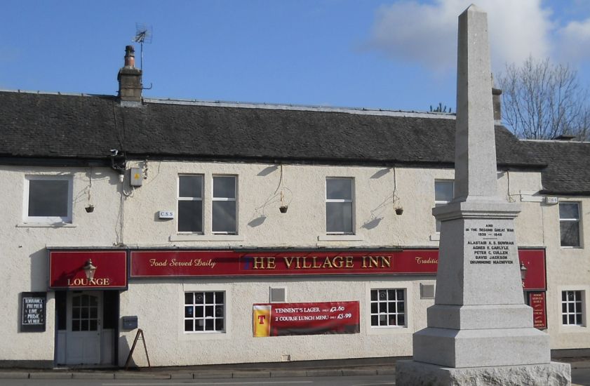 The
War Memorial in Torrance
Village
in East Dunbartonshire Torrance is some 8 miles ( 13km ) to the north of Glasgow The name comes from the Gaelic " An Toran " which means " under the hills ". |
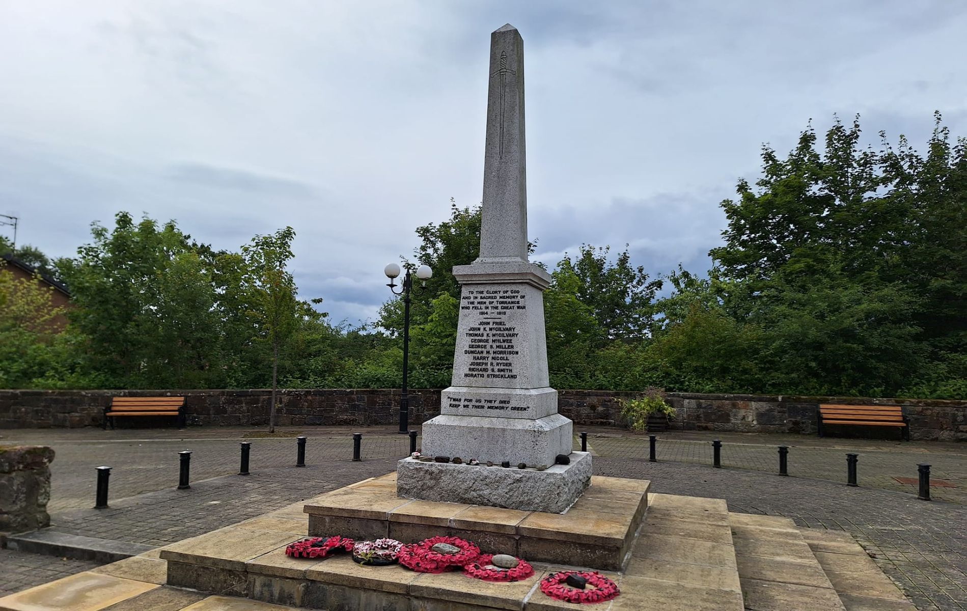 The
War Memorial in Torrance
Village
|
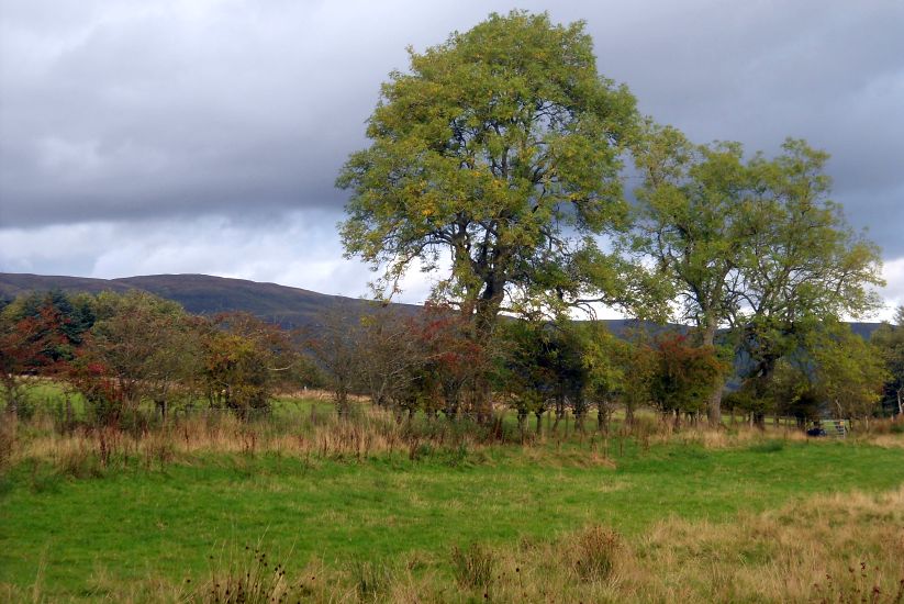
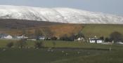
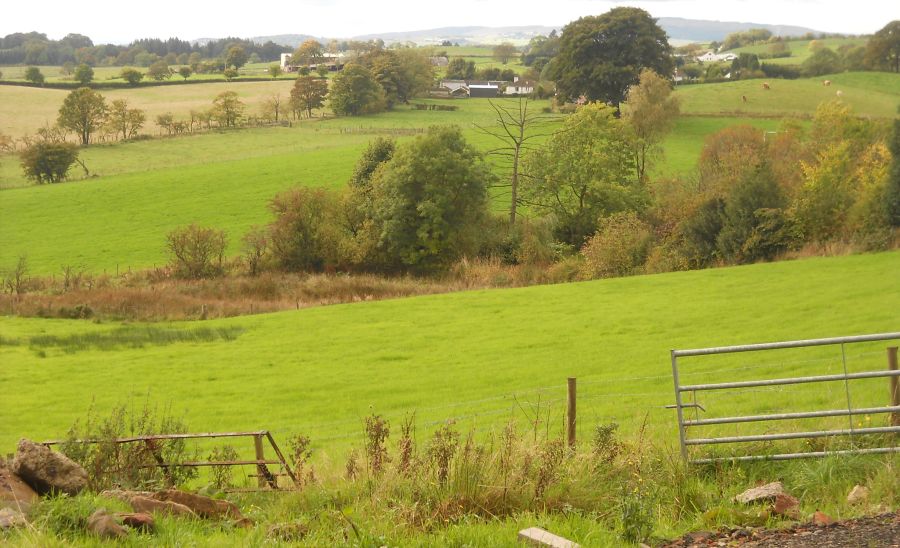 Countryside
from West Balgrochan Road |
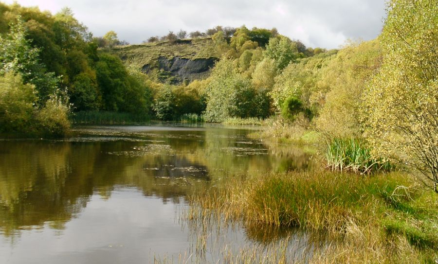 Quarry
Loch
above Torrance Village |
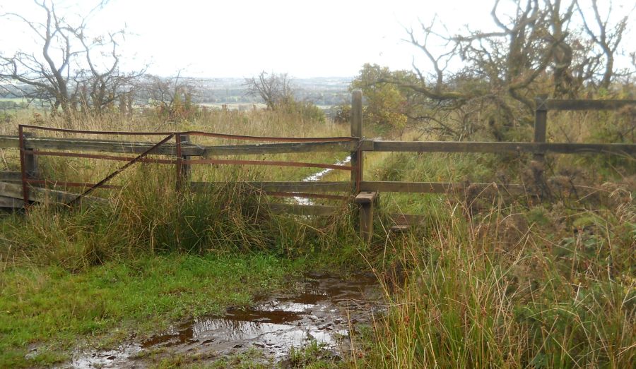 Style
on the Mealybrae Path |
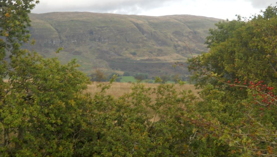
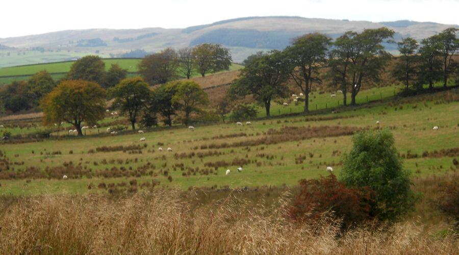 Kilpatrick
Hills
from the Mealybrae Path |
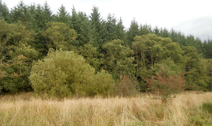 Lennox
Forest
from the Mealybrae Path |
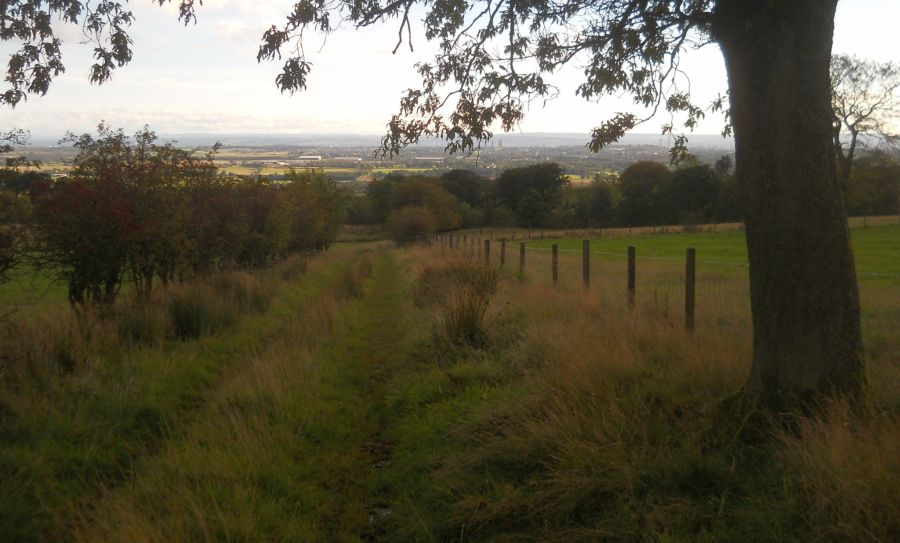
 Path
through Lennox Forest |
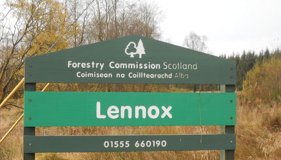 Sign
at Lennox Forest
|
 |
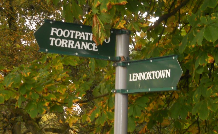 Signpost
at Lennox Forest
for the Right of Way to Torrance |
 The
Right of Way to
Torrance
from Lennox Forest at Muirhead Farm |
 |
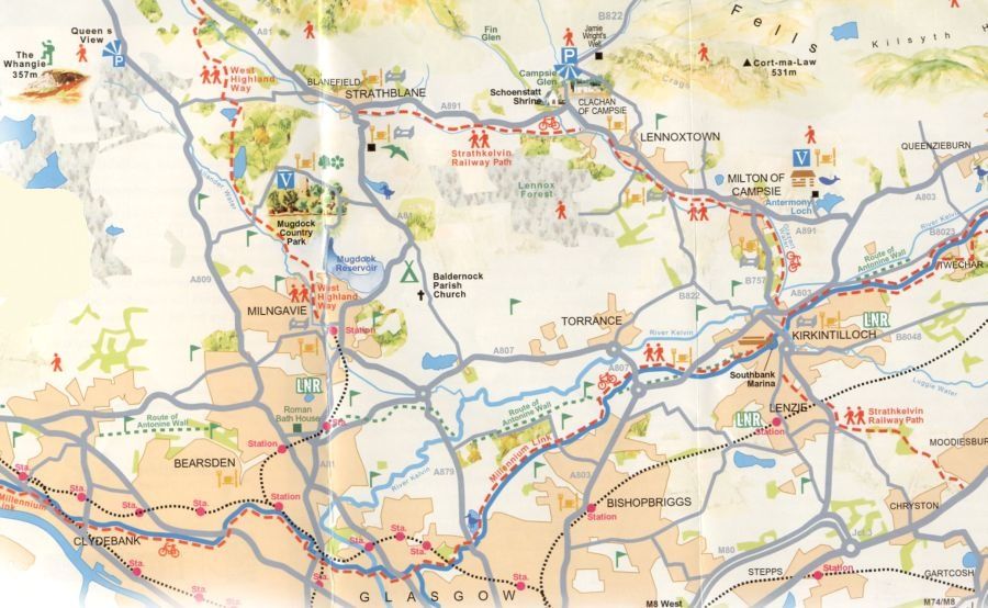 Map of the
Torrance area
|
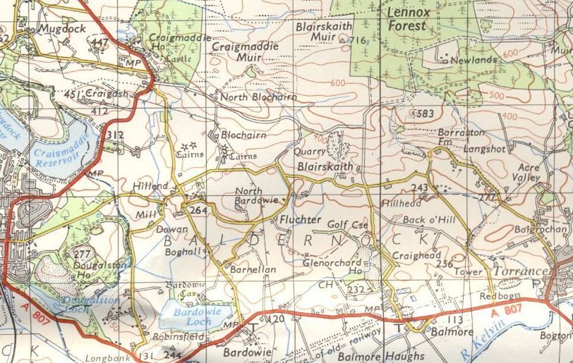 Map of
the Torrance
and Lennox Forest area |
TORRANCE CIRCULAR WALK - ROUTE DESCRIPTION:
 :: Torrance
- Lennox Forest
Gallery
:: Torrance
- Lennox Forest
Gallery 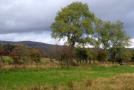
Glencoe | Ben Nevis | Knoydart | Isle of Skye | Isle of Arran
The Eastern Highlands | The Central Highlands | The Southern Highlands | The NW Highlands


