|
Firth of ClydeClyde Muirshiel Park
Ferry Kelly Cut |
  |
| |
Firth of ClydeClyde Muirshiel Park
Ferry Kelly Cut |
|
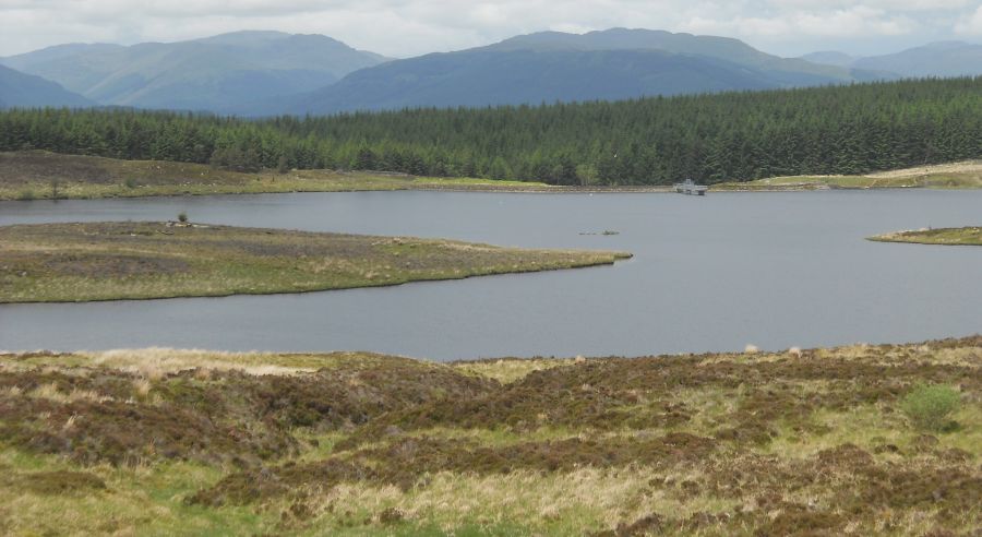
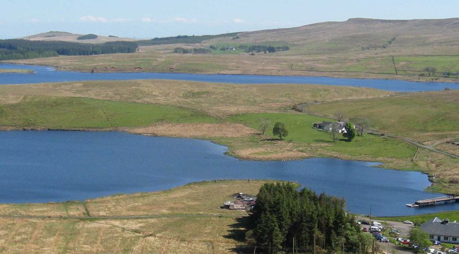
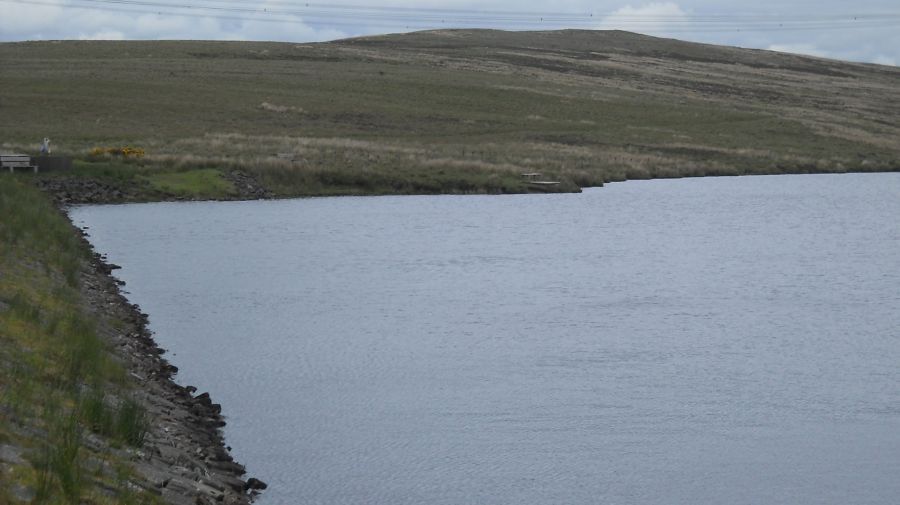
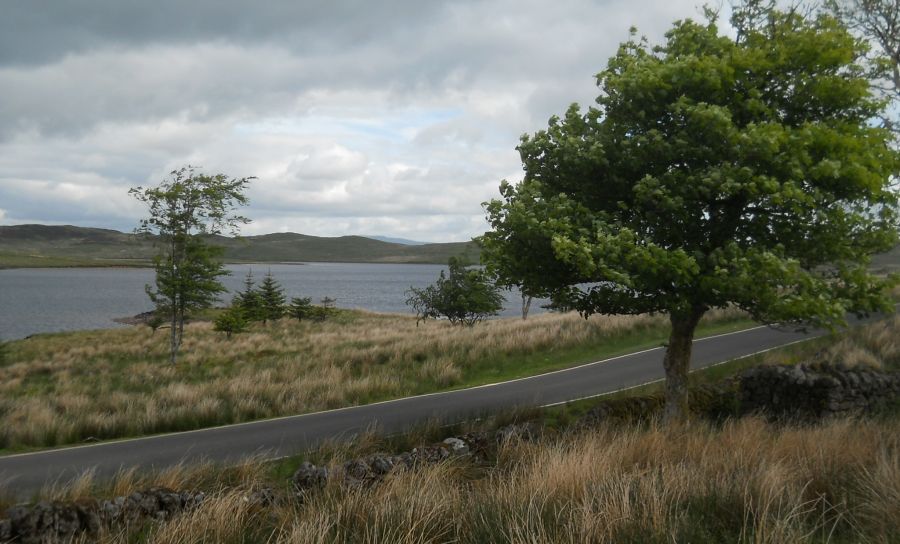 Loch
Thom from the Old Largs Road
on approach to Clyde Muirshiel Park Loch Thom is a reservoir that supplies water to Greenock |
|
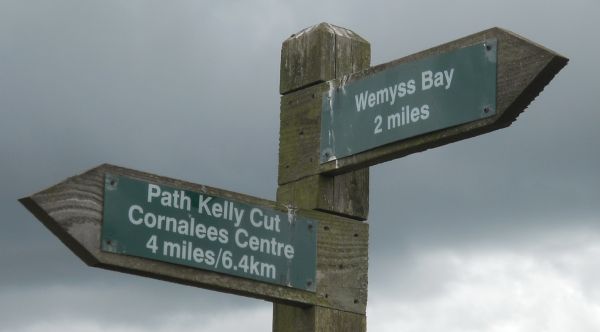
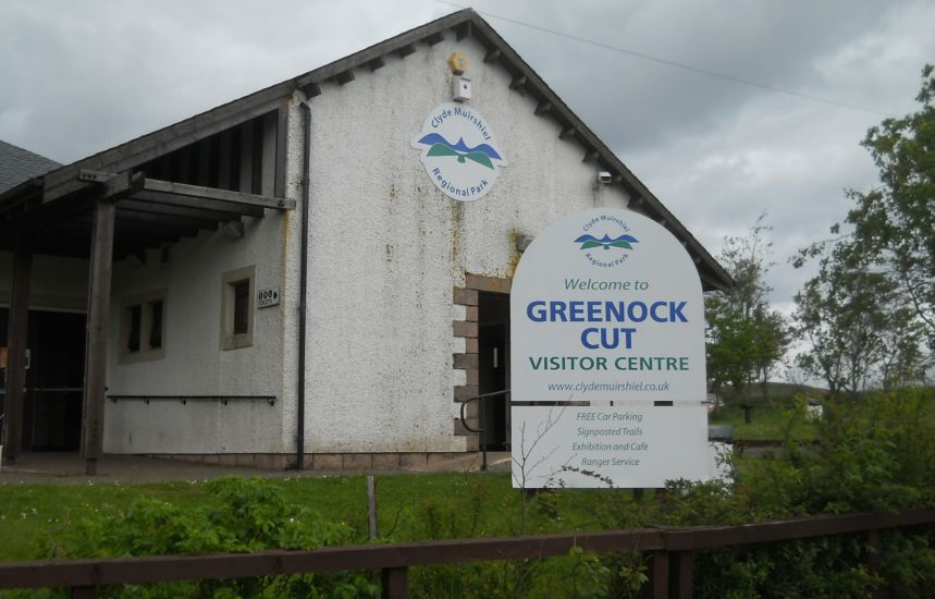 Greenock
Cut ( Cornalees )
Visitor Centre
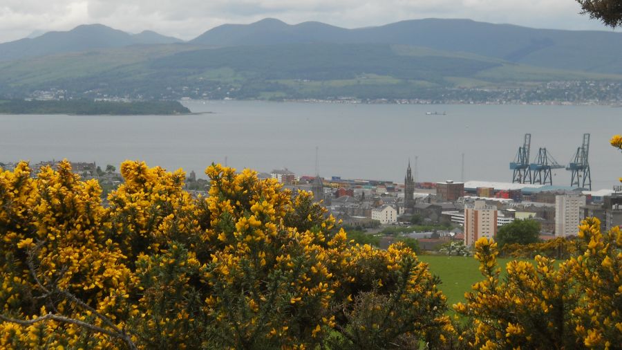
in Clyde Muirshiel Park Clyde Muirshiel Regional Park is the collective name for areas of countryside set aside for conservation and recreation in the South West of Scotland. The Park covers an area of 108 square miles ( 280 km2 ) of Inverclyde, North Ayrshire and Renfrewshire, stretching from Greenock in the north, down the coast to Largs and West Kilbride and inland to Dalry and Lochwinnoch.
|
|
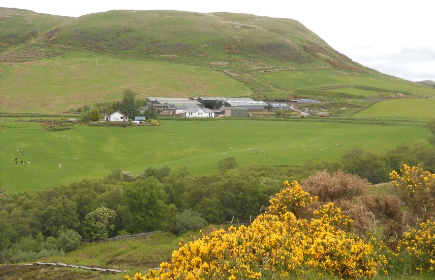
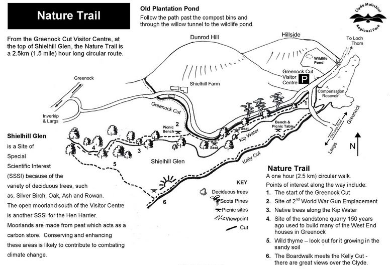
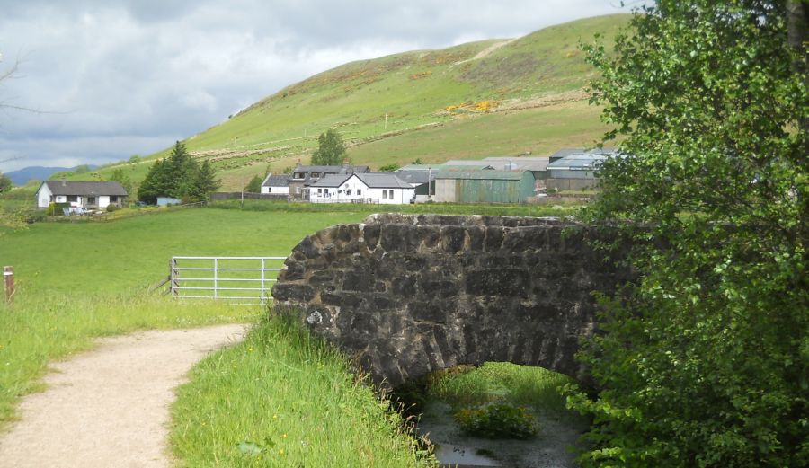 The Greenock
Cut and Shielhill
Farm
beneath Dunrod Hill The Greenock
Cut is an aqueduct
that carries water from Loch Thom to Greenock |
|
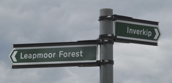
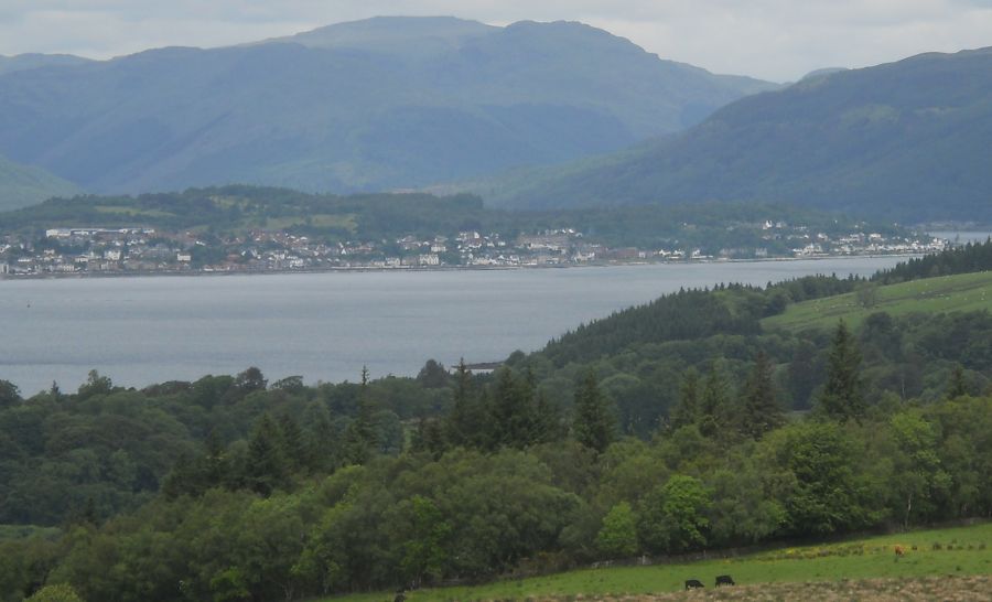 Dunoon
and the Cowal Hills
across the Firth of Clyde from Leapmore Forest |
|
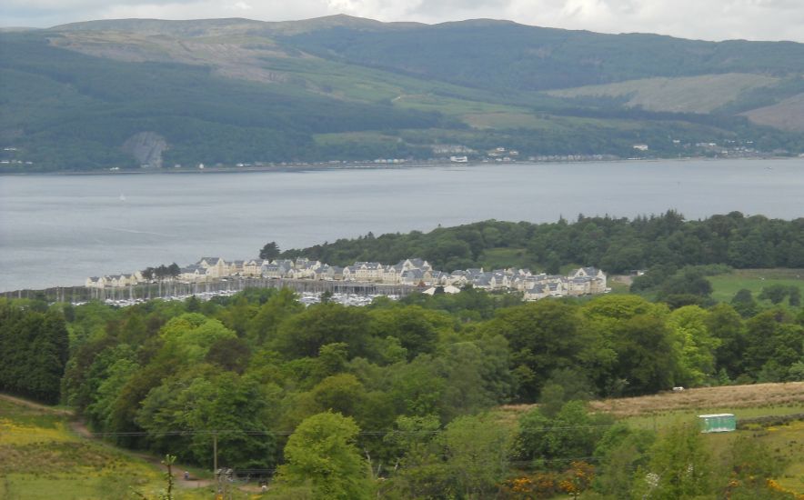 Marina
at Inverkip
on the Firth of Clyde from Leapmore Forest |
|
 Dunoon
and the Cowal Hills
across the Firth of Clyde from the trig point on Blood Moss |
|
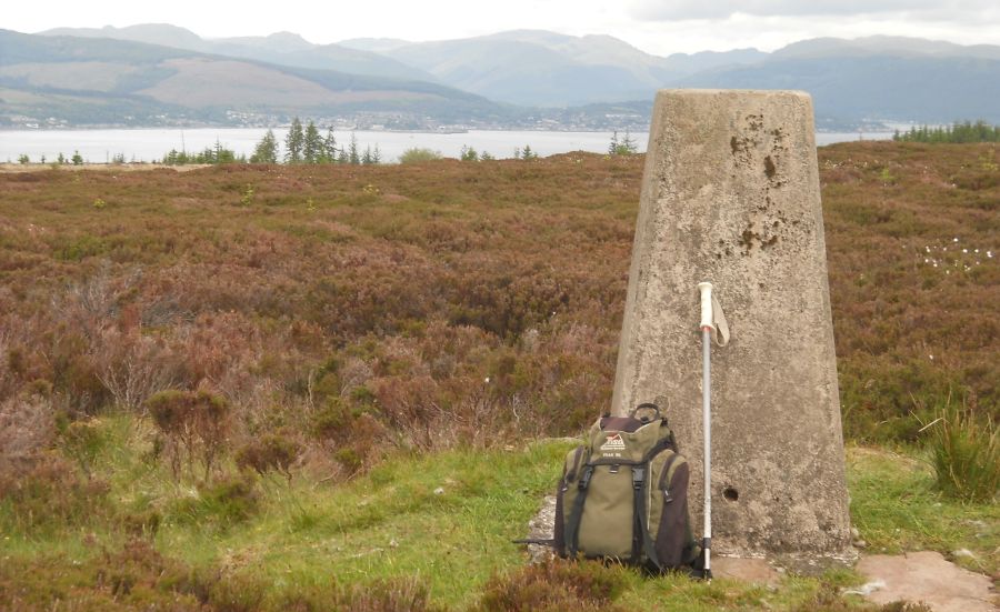
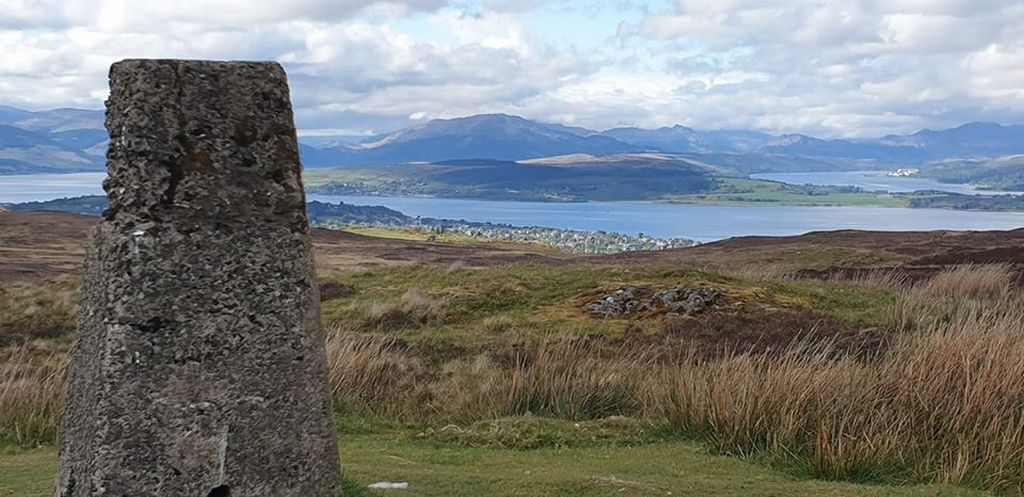 Dunoon
and the Cowal Hills
across the Firth of Clyde from the trig point on Corlick Hill The views from Corlick hill on a clear day include:- Dunrod Hill, the Clyde valley, the Cowal peninsula, the Arrochar Alps, Ben Lomond and beyond. |
|
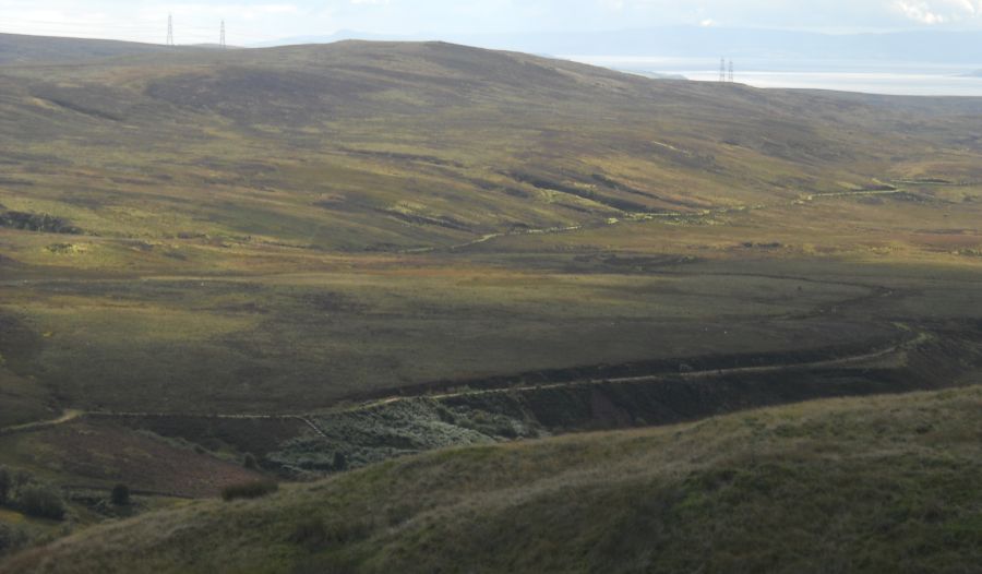
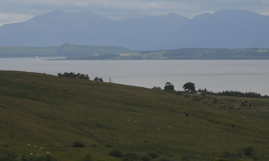 Arran
Hills
across the Firth of Clyde from Blood Moss |
|
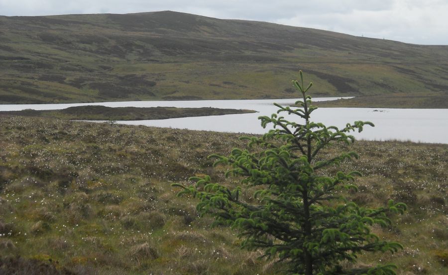
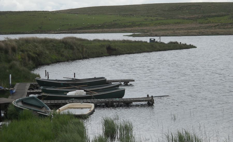
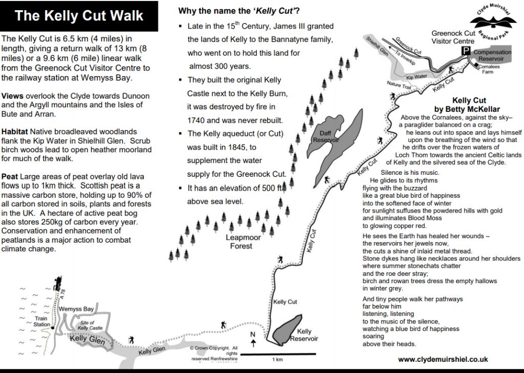
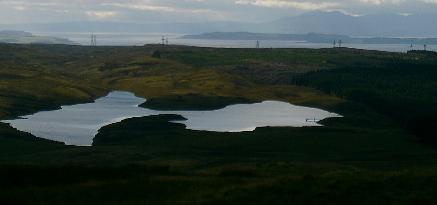
 Wemyss
Bay reservoir on the Kelly
Cut
The Kelly Cut was constructed in 1845 to bring more water to Loch Thom from the south. |
|
 The
Daff Reservoir
and the Arran Hills from Dunrod Hill |
|
 Port
Glasgow
on the Firth of Clyde from the Old Largs Road |
|
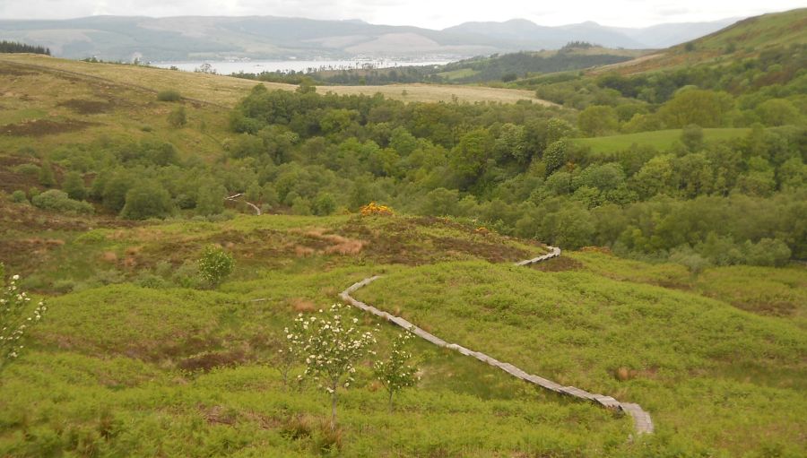
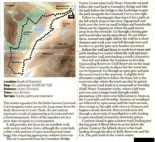
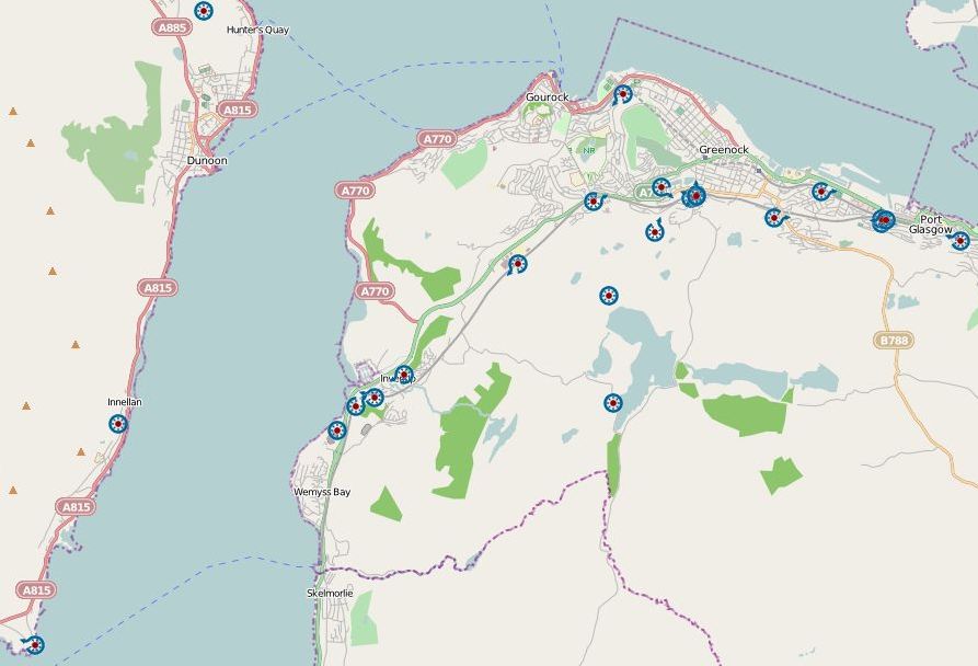
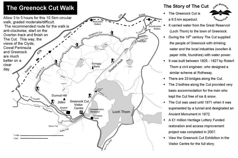 Route
Description and Map
of Greenock Cut Walk in the Clyde Muirshiel Regional Park |
|

Glencoe | Ben Nevis | Knoydart | Isle of Skye | Isle of Arran | The West Highland Way
The Eastern Highlands | The Central Highlands | The Southern Highlands | The NW Highlands