|
Bearsden & DistrictMilton of Campsie |
  |
| |
Bearsden & DistrictMilton of Campsie |
|
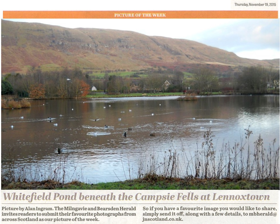 Campsie Fells above
Whitefield Pond
in Lennoxtown Whitefield
Pond was constructed
in the 1800s
to supply clean water to the Lennox Mill Printworks. The pond is home to many waterbirds and other wildlife. |
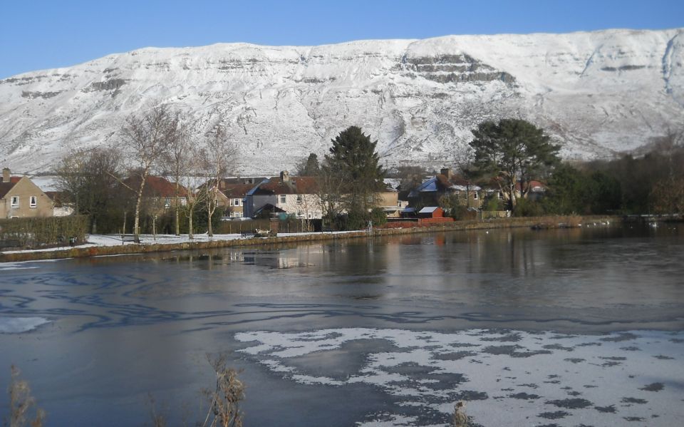 Campsie Fells
above Whitefield Pond in winter |
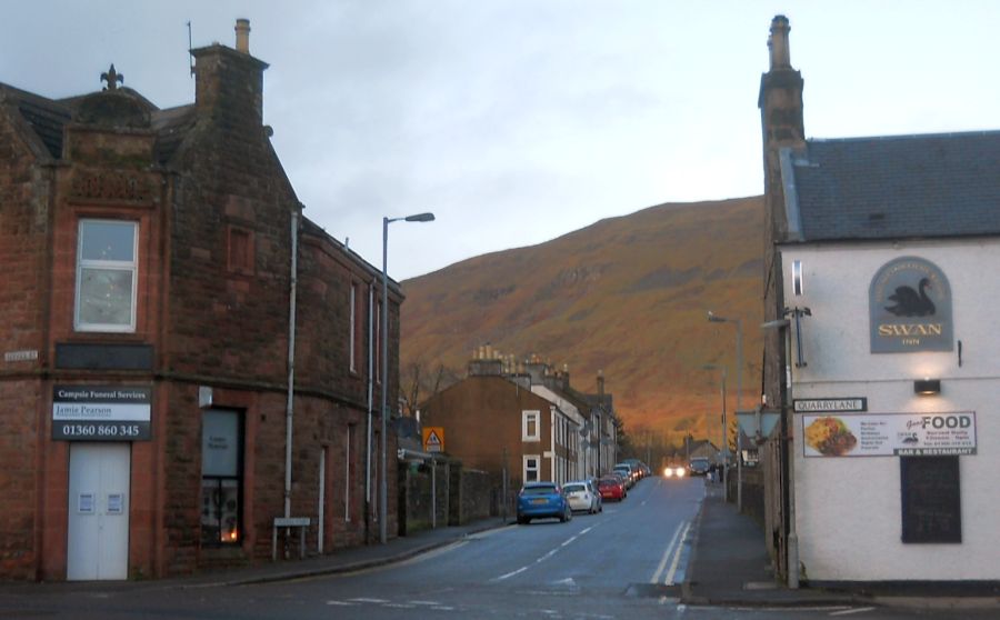 Junction
in Lennoxtown
at the start of the Crow Road over the Campsie Fells |
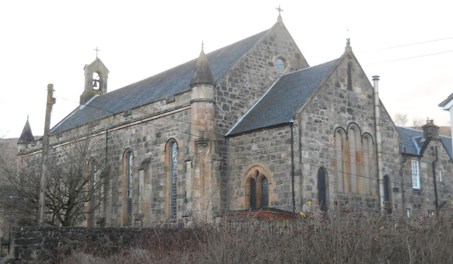 Parish
Church
in Lennoxtown |
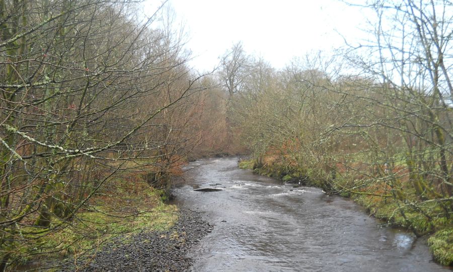 Glazert
Water from the Thomas
Muir Trail
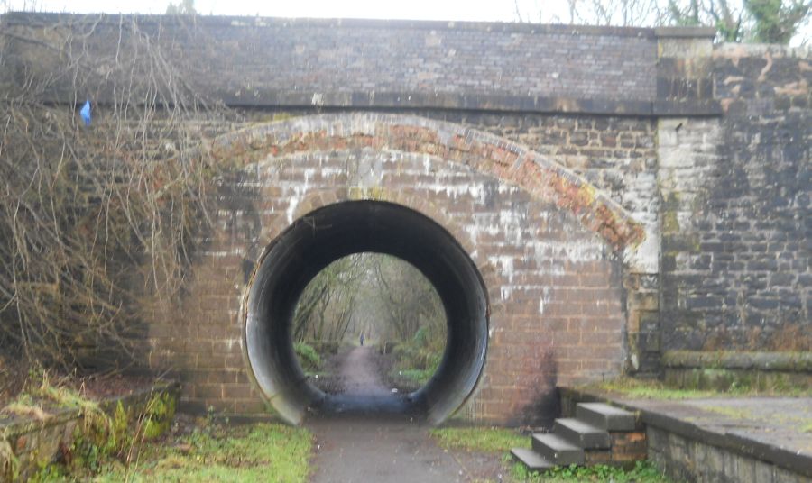
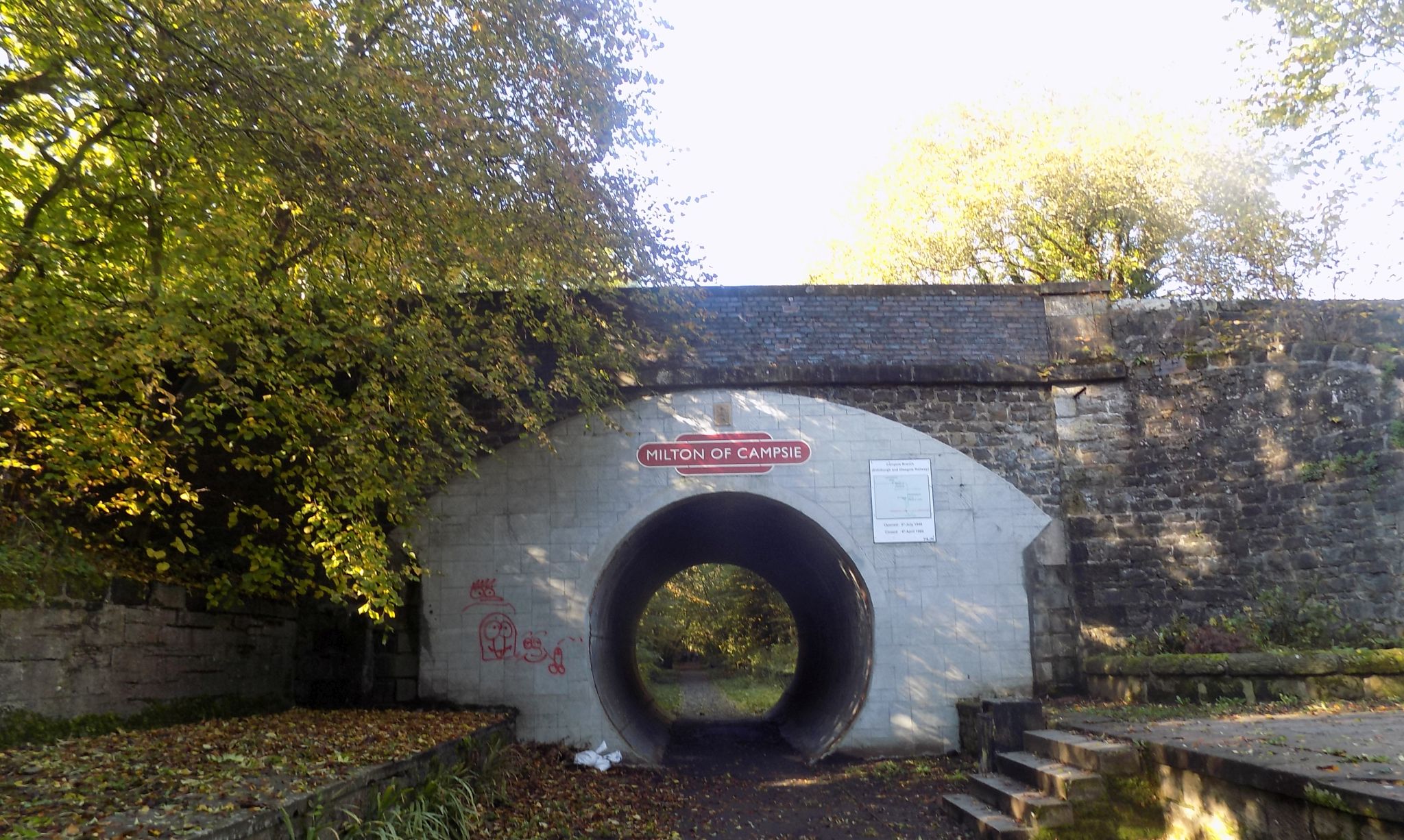
from Lennoxtown to Milton of Campsie Between Lennoxtown and Milton of Campsie the route follows the Strathkelvin Railway Path |
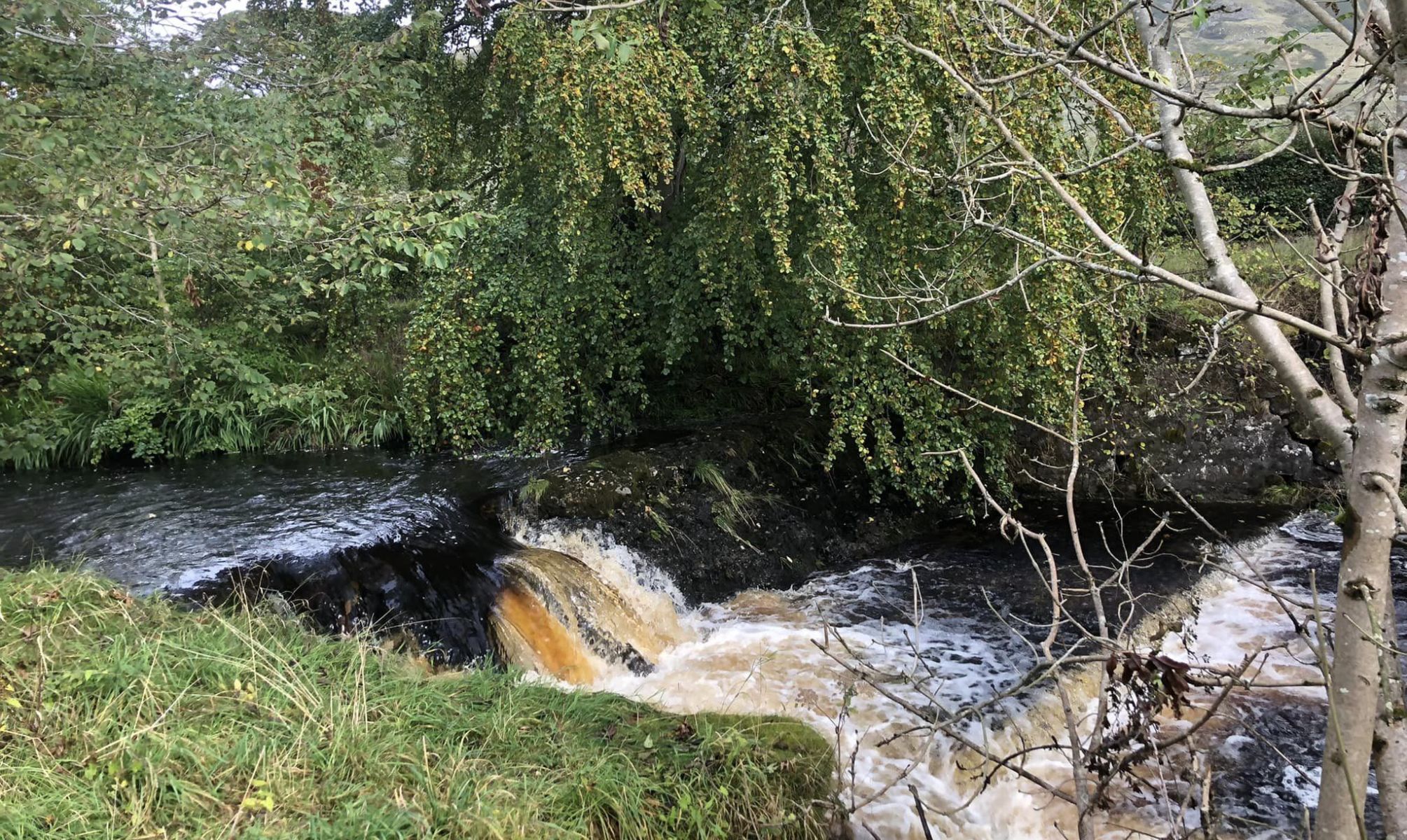 Waterfall
on Glazert
Water
from the Thomas Muir Trail from Lennoxtown to Milton of Campsie |
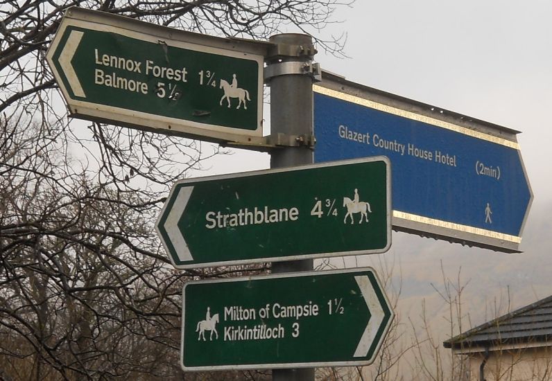 Signpost
on the Thomas Muir Trail |
 |
 |
 Bridge
over the Thomas Muir Trail
at Milton of Campsie |
 Road Bridge at Milton of Campsie |
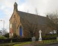
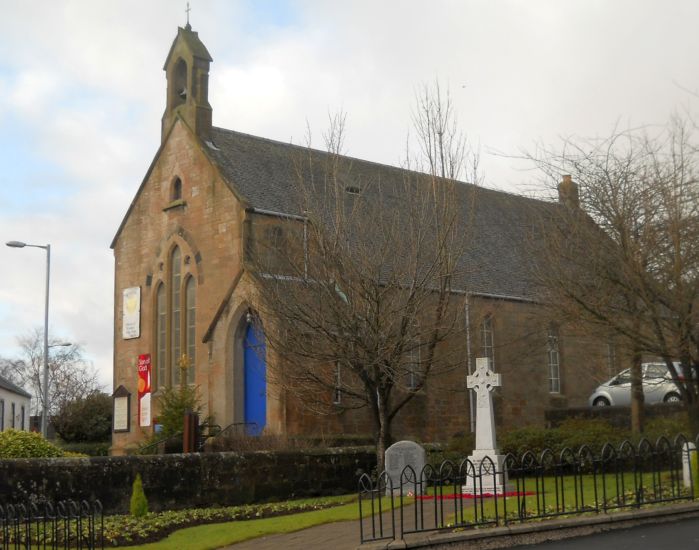 Parish
Church
in Milton of Campsie |
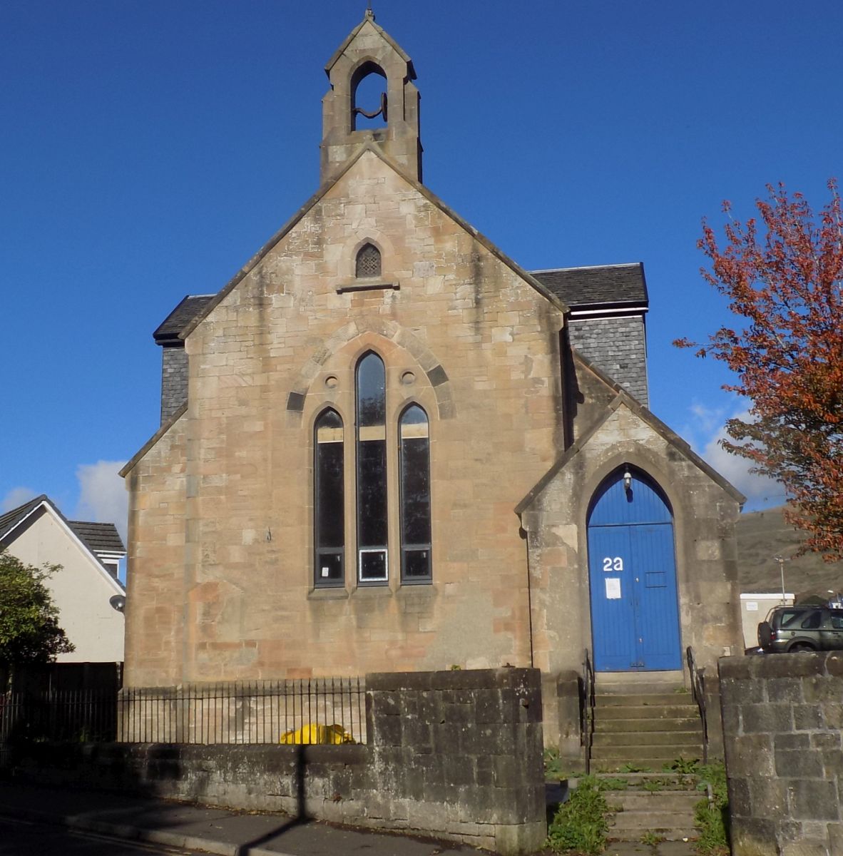 Parish
Church
in Milton of Campsie |
 |
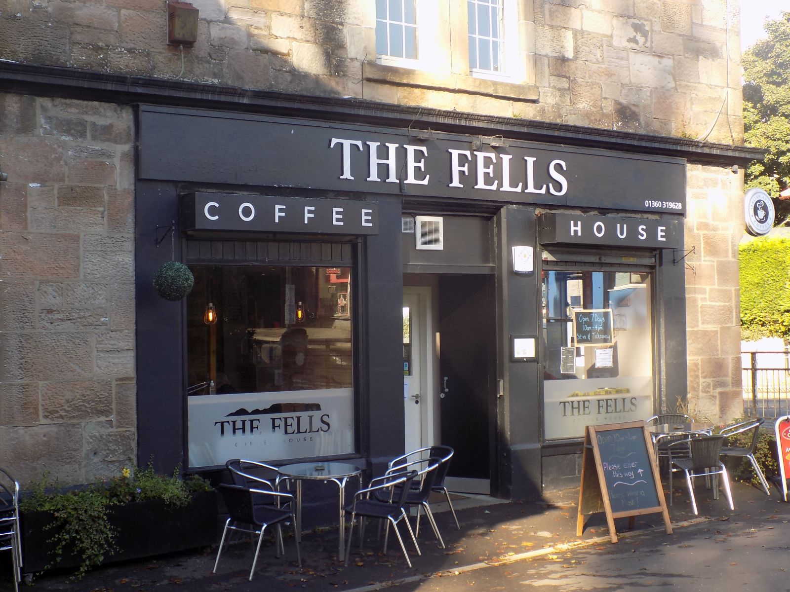 "The
Fells" Coffee House
in Milton of Campsie |
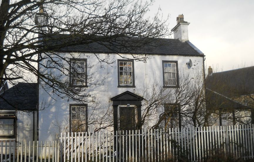 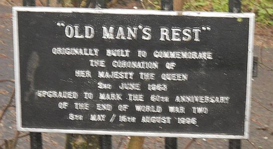 "Old Man's Rest" in Milton of Campsie |
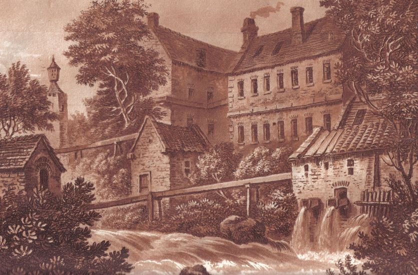 McDowall's
&
Co. mills in 1800
on the Glazert Water at Milton of Campsie |
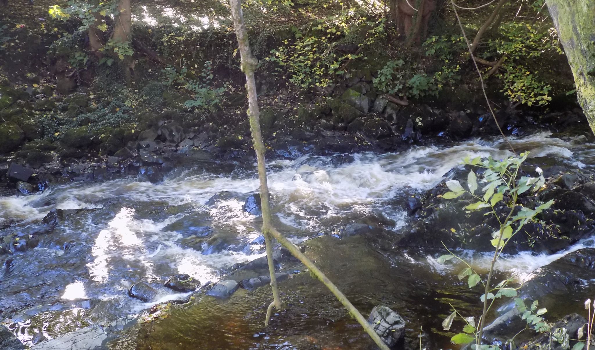 Glazert
Water
at Milton of Campsie |
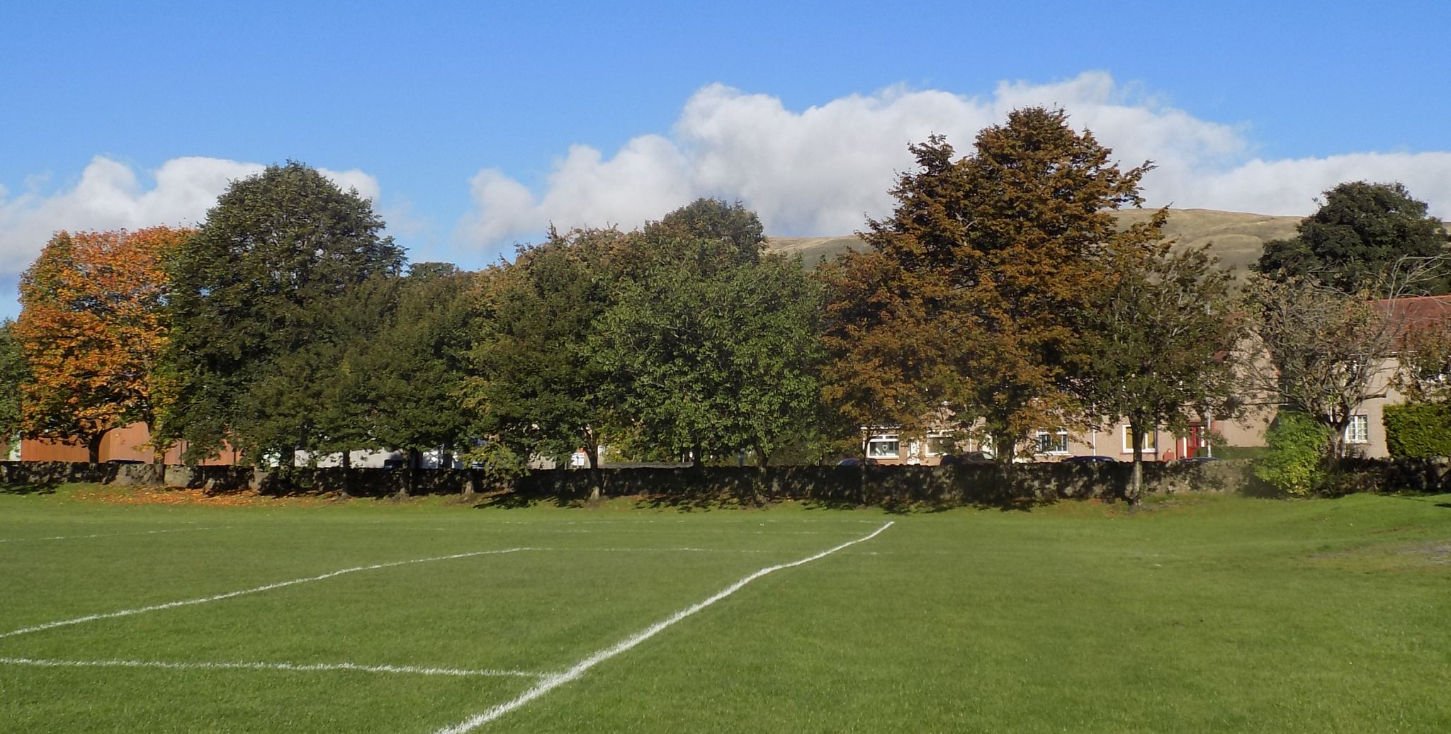 Playing
field
in Milton of Campsie |
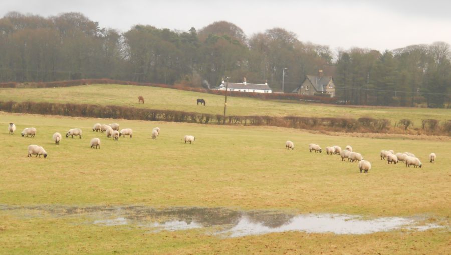
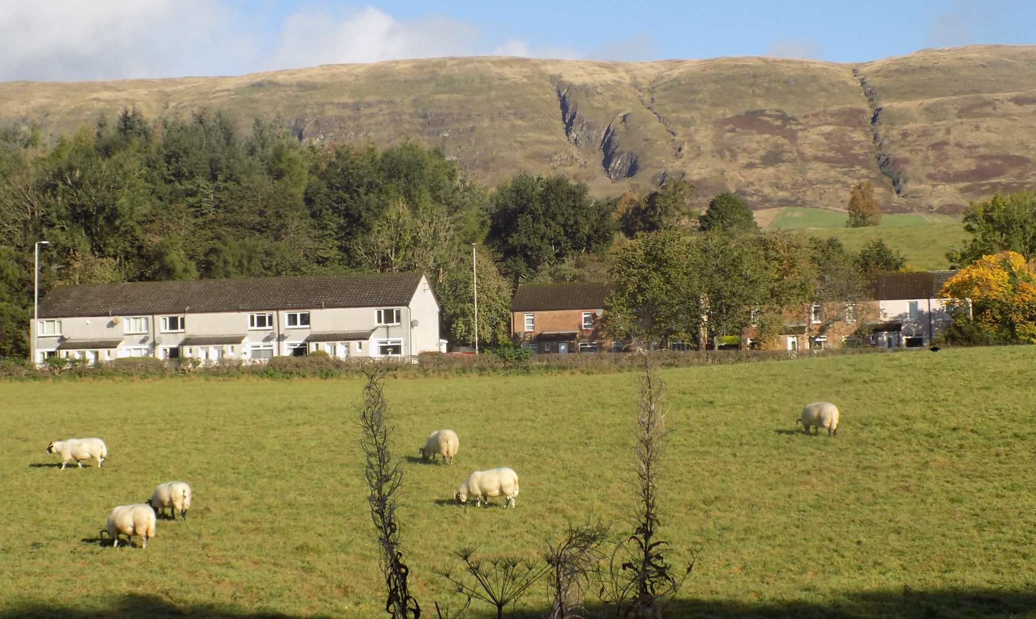
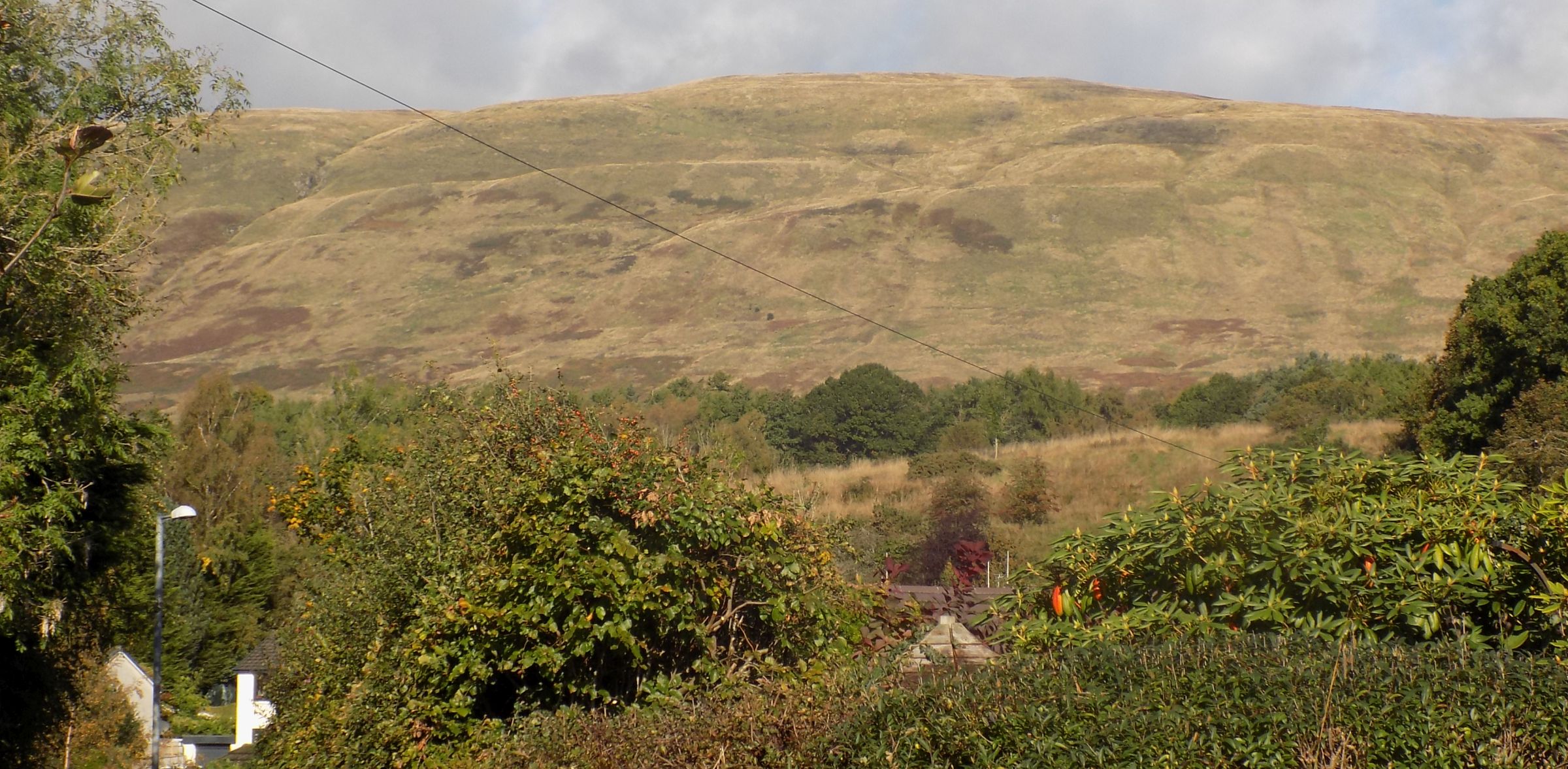 Campsie Fells
above Milton of Campsie |
 Campsie Fells
above Milton of Campsie |
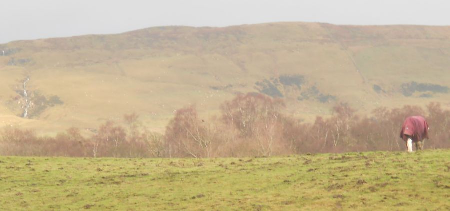
 Campsie Fells
above Antermony Loch |
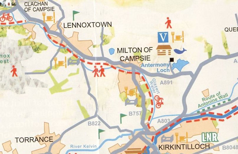 Map of
Milton of Campsie
beneath the Campsie Fells |
 ::
Lennoxtown
Gallery
::
Lennoxtown
Gallery 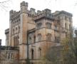 :: Campsie
Fells
:: Campsie
Fells 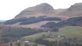
Glencoe | Ben Nevis | Knoydart | Isle of Skye | Isle of Arran
The Eastern Highlands | The Central Highlands | The Southern Highlands | The NW Highlands