|
Bearsden Walks Kippen
Circular
|
  |
Photos of a circular walk around the village of Kippen:-
Arngomery House, Broich Mill Cottage, Broich Burn, Cauldhame,
Southern Highlands, Ochil Hills, Gargunnock Hills
| |
Bearsden Walks Kippen
Circular
|
|
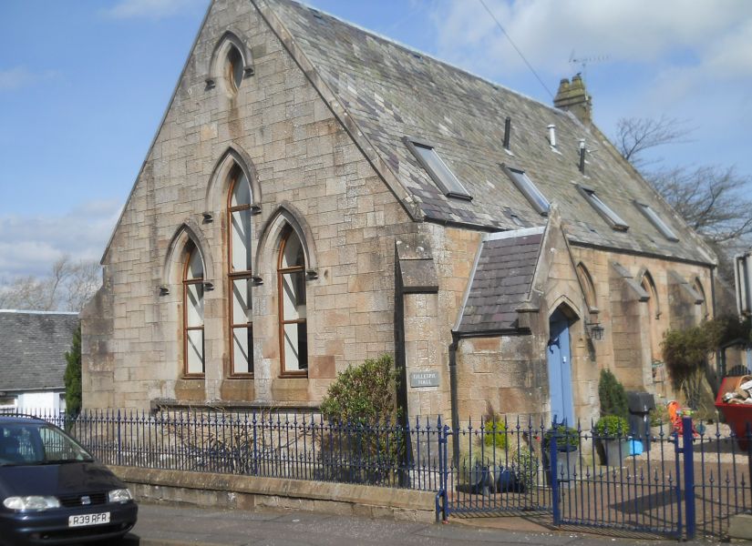 Gillespie Hall in Kippen Village Kippen is a small village approximately 10 miles ( 16km ) to the west of Stirling. It lies between the Gargunnock Hills , the Fintry Hills to the South and the Strath of the River Forth to the North. |
 Rennie's Loan from Kippen Village |
 Ben
Lomond from Rennie's Loan
|
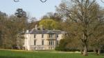
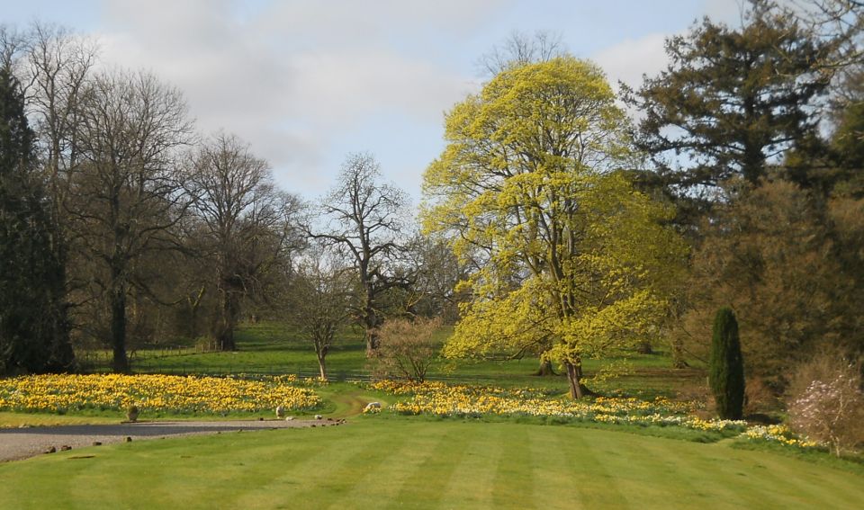 Grounds of Arngomery House |
 |
 |
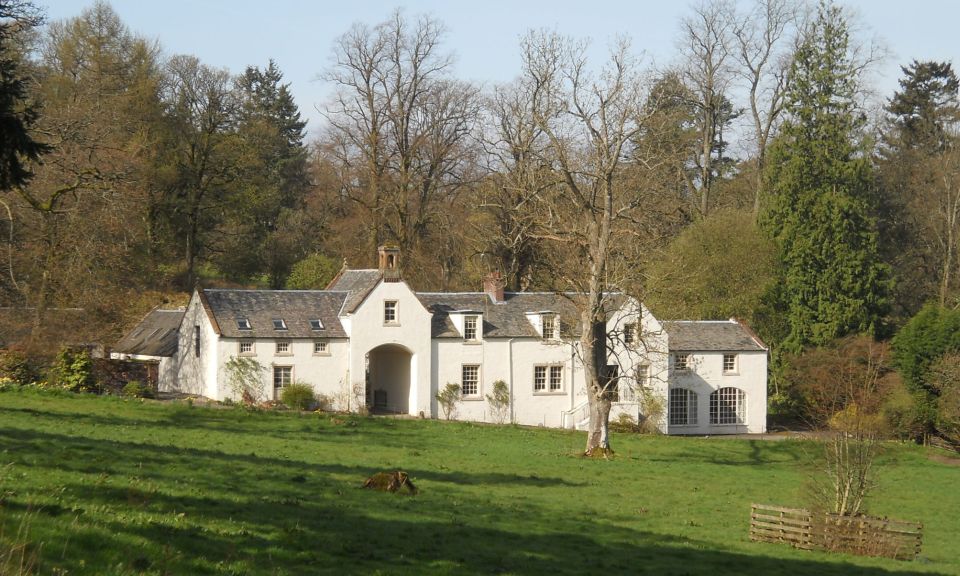 The
Stables Building of Arngomery
House
|
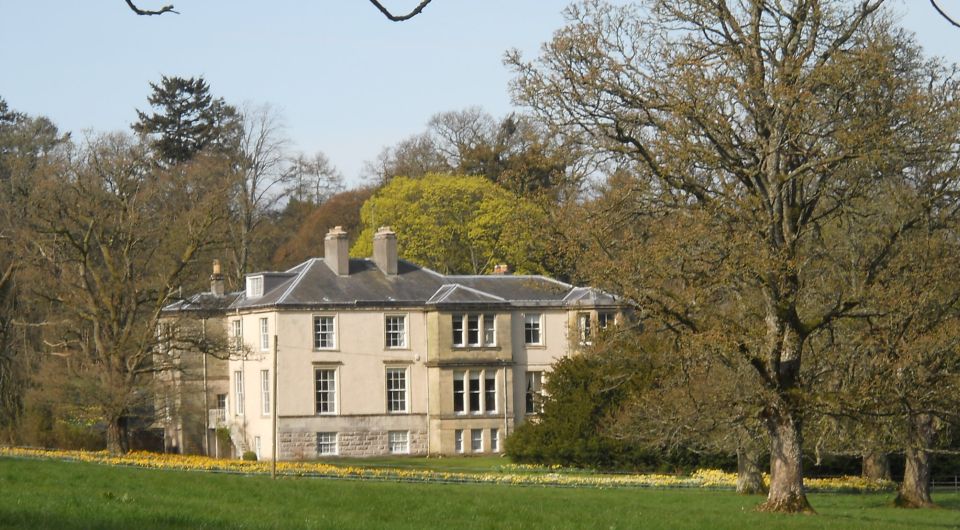
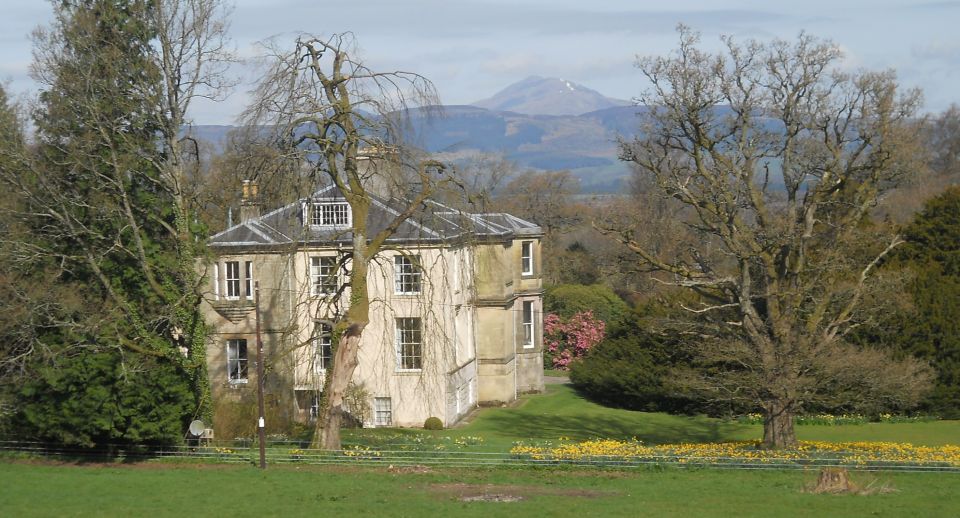 Arngomery
House and Ben Lomond
|
 |
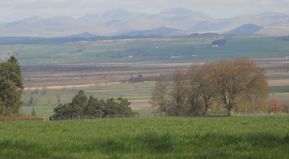 Southern Highlands
across the Strath of Forth from the road into Cauldhame |
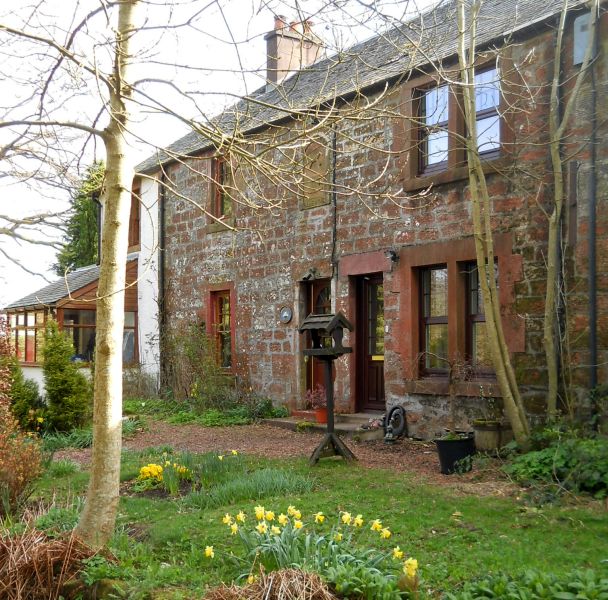
 Cottages
in Cauldhame
|
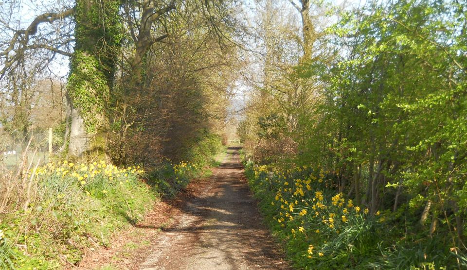
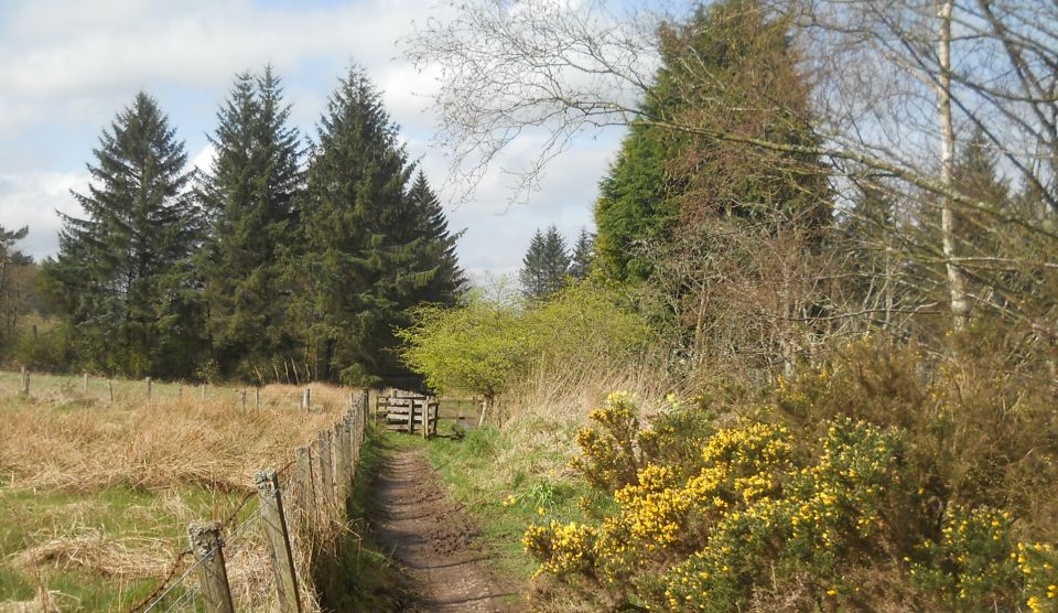 Public
Footpath
from Cauldhame to Burnside Woodland |
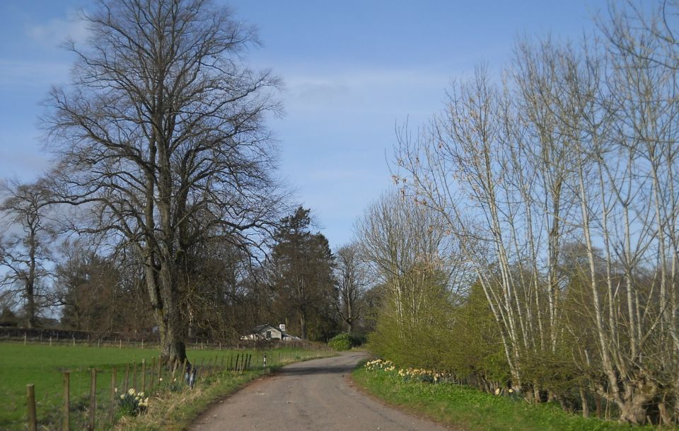
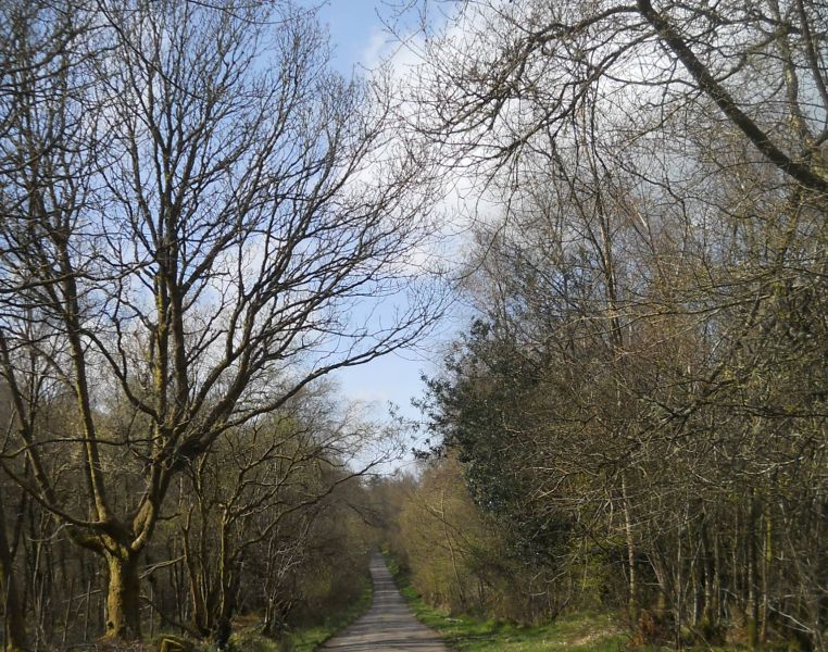 Road
from Riggethill
through Burnside Woodlands |
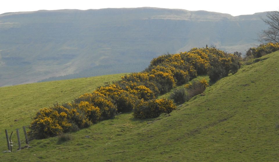 Gargunnock
Hills
from above Burnside Woodlands |
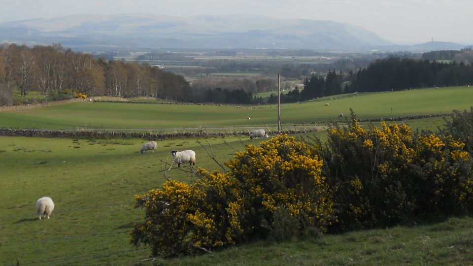 Ochil
Hills
from above Burnside Woodlands |
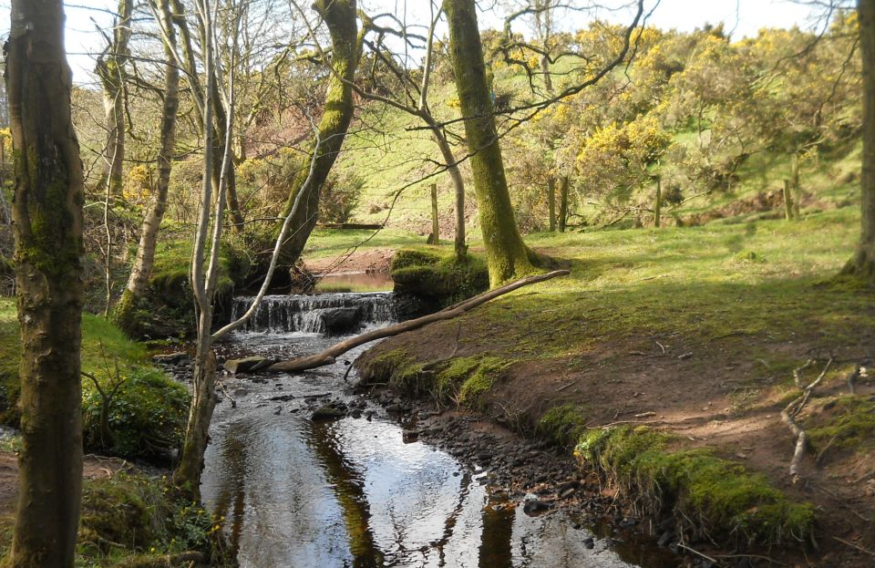
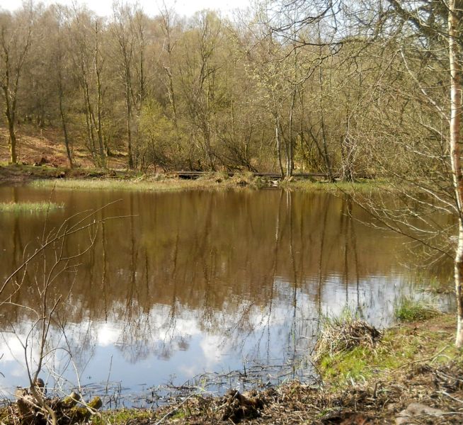 Duck
Pond in Burnside Woodlands
above Kippen |
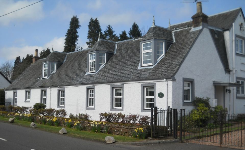
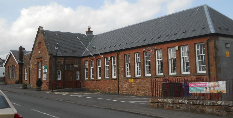 School
in Kippen
|
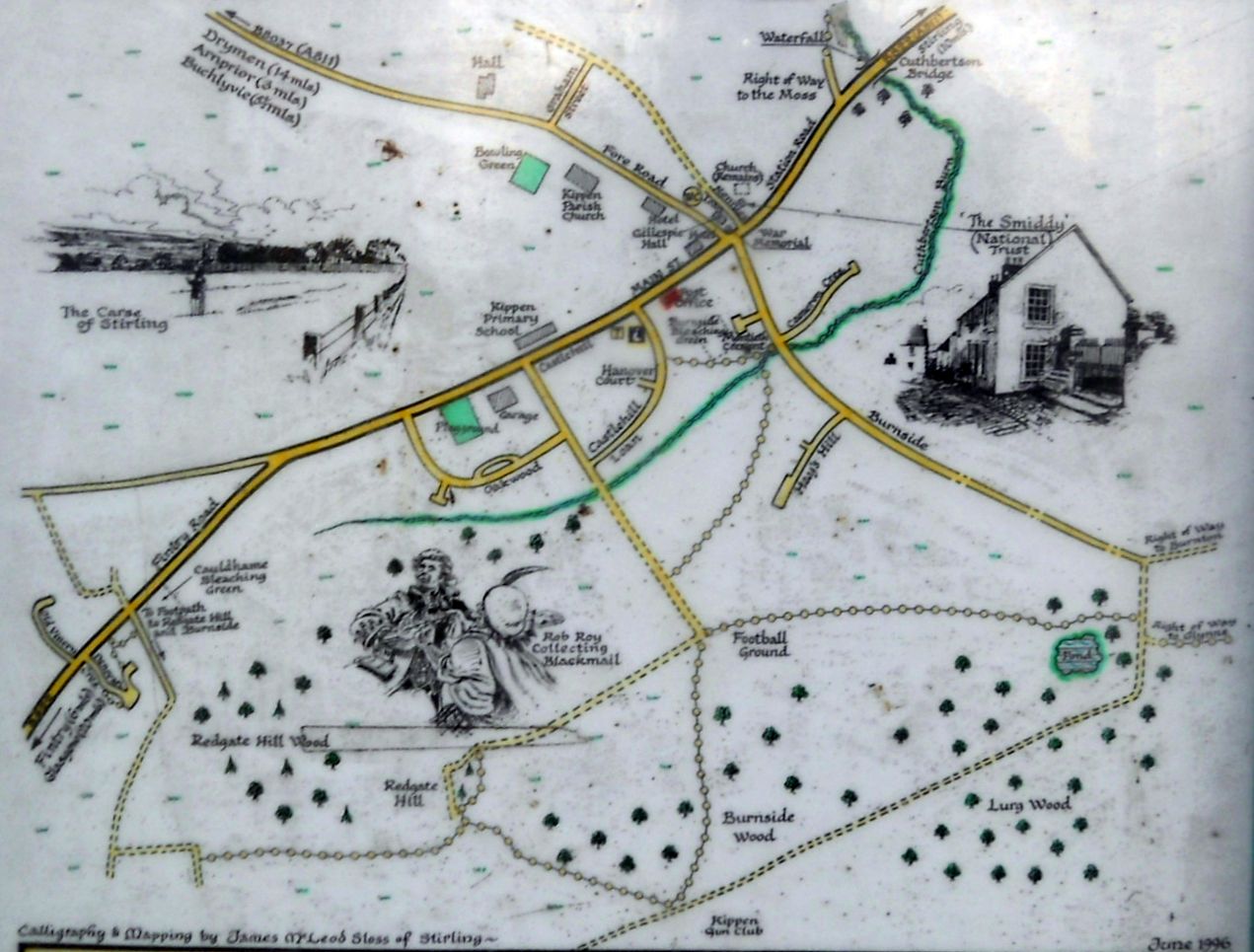 Map of
Kippen Village
( Note: click here or on above for large format copy ) |
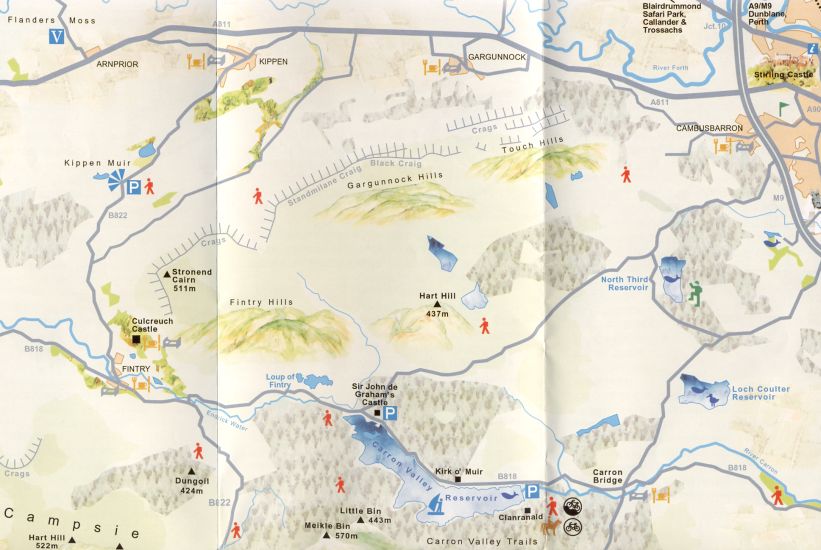
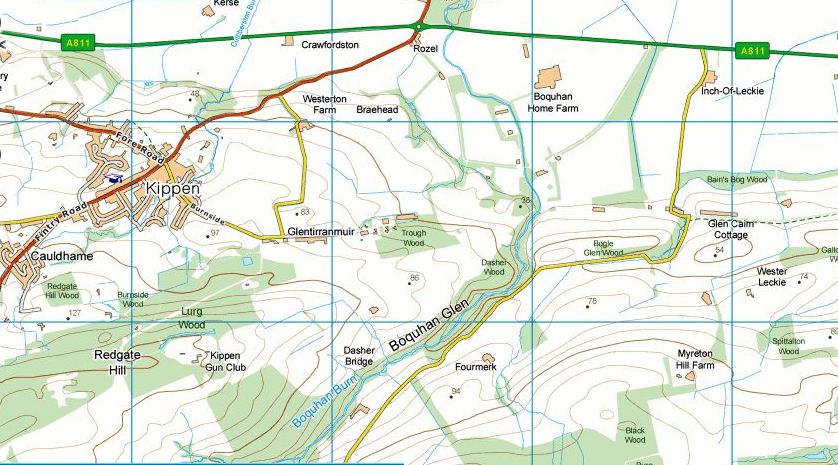 Map of
Kippen area
|
 Map of
Kippen area
|
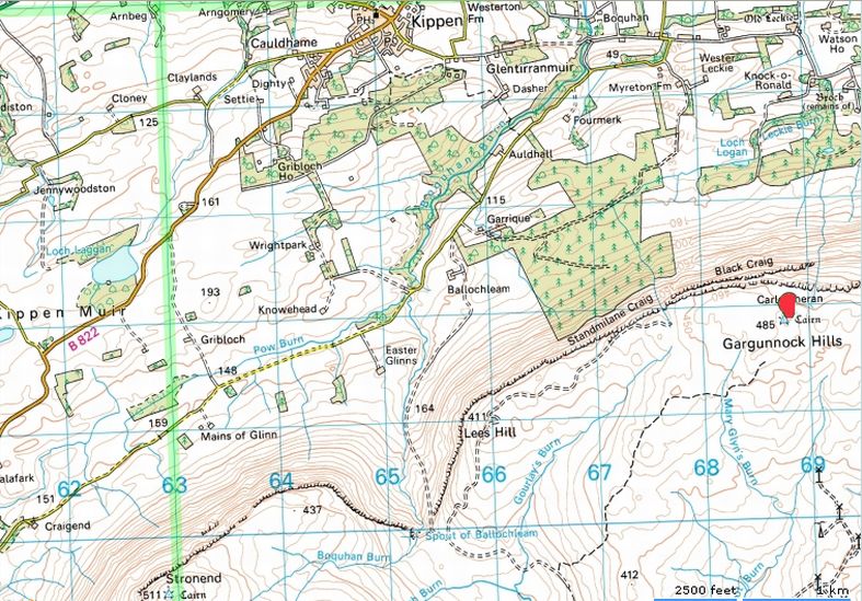
 Map of
the Gargunnock Hills
|
 :: Kippen
Gallery
:: Kippen
Gallery 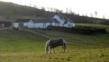 :: Gargunnock
Hills
Gallery
:: Gargunnock
Hills
Gallery 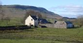
Glencoe | Ben Nevis | Knoydart | Isle of Skye | Isle of Arran
The Eastern Highlands | The Central Highlands | The Southern Highlands | The NW Highlands