Grade:
Easy river and canal walk Distance: 4 miles/ 6.5km Time: 2—3 hours
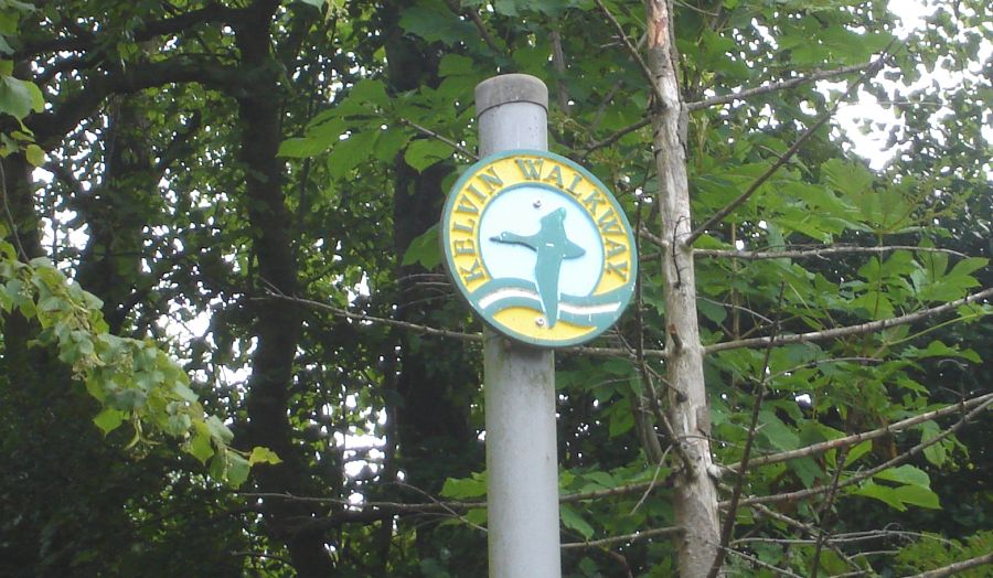
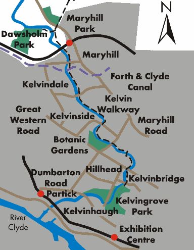
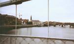
The Kelvin Walkway, a path in the middle
of
Glasgow, a
trail which runs almost from the
river’s source in the Campsie Fells to its
confluence with the Clyde. The
path is very well used by walkers, cyclists
and lots of dogs, which all adds to
the fun.
After recrossing
the river you pass the remains of a
flint mill, a reminder that the river was
once busy with industry.
It became very polluted as a result but in recent
years an energetic support group,
Friends of the River Kelvin ( FoRK ) have
done great work in helping to
clean the river up. FoRK have also put
up interesting information boards
along the route.
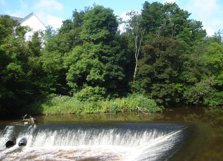
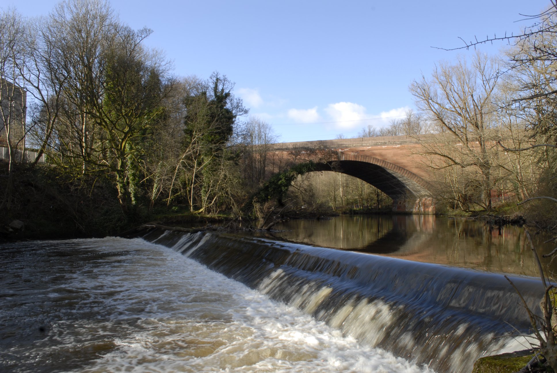
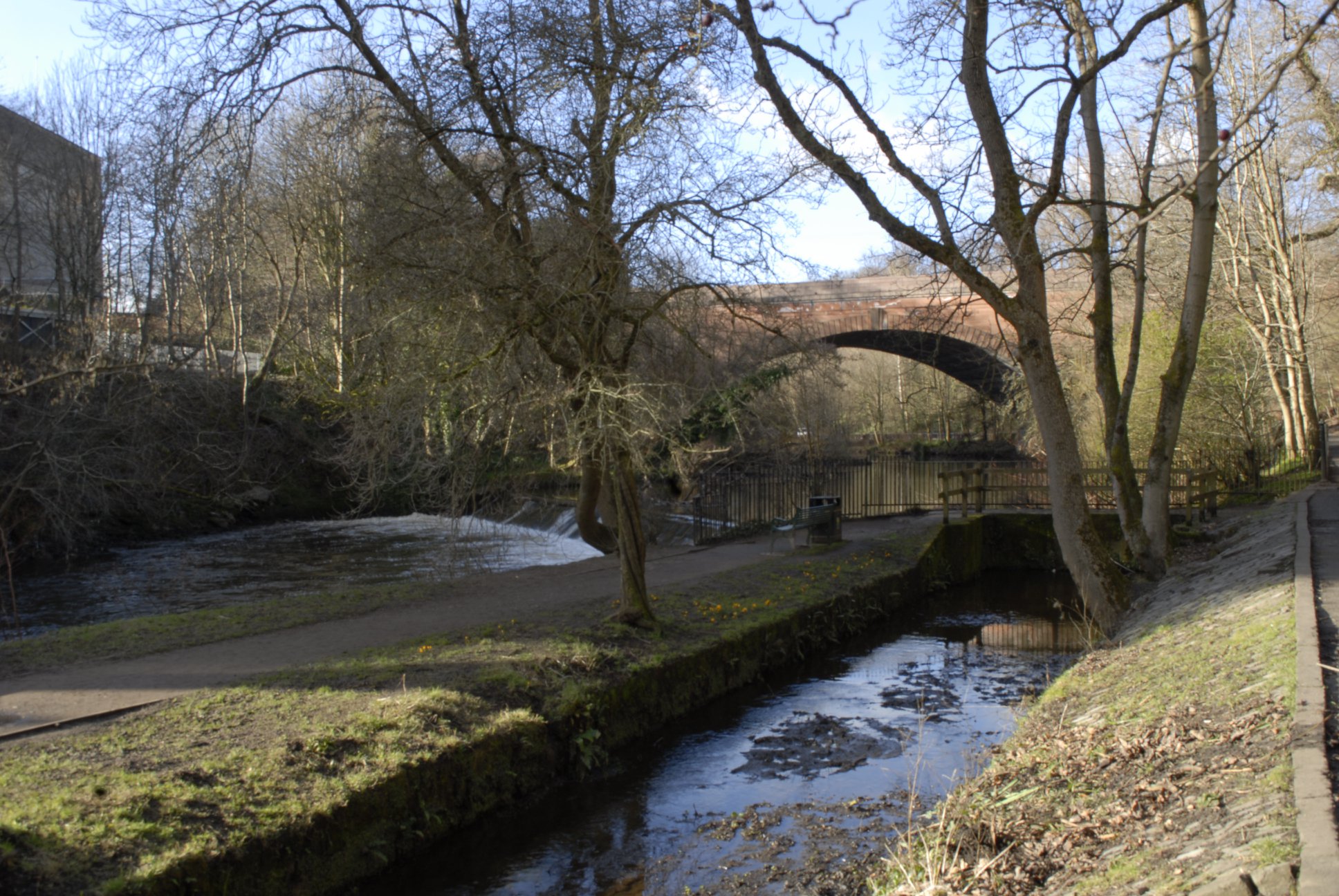
After passing a
weir the path goes under Queen Margaret
Drive. A branch
leads left, up to the Botanic Gardens, but stay by the river.
Helpful signs give you the walking
time to Maryhill Locks.
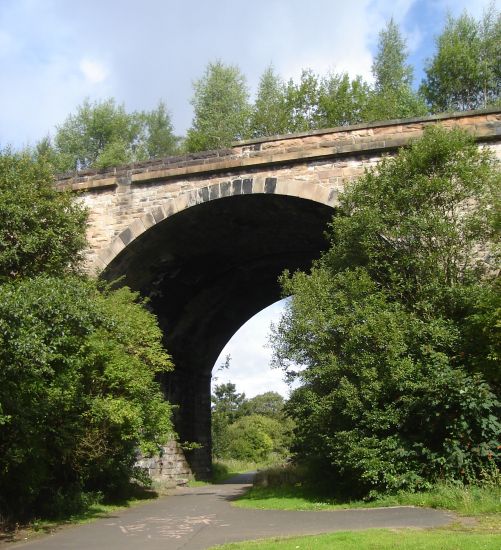
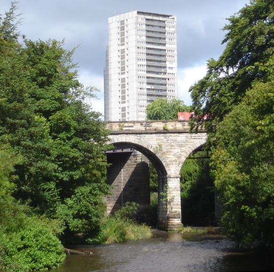
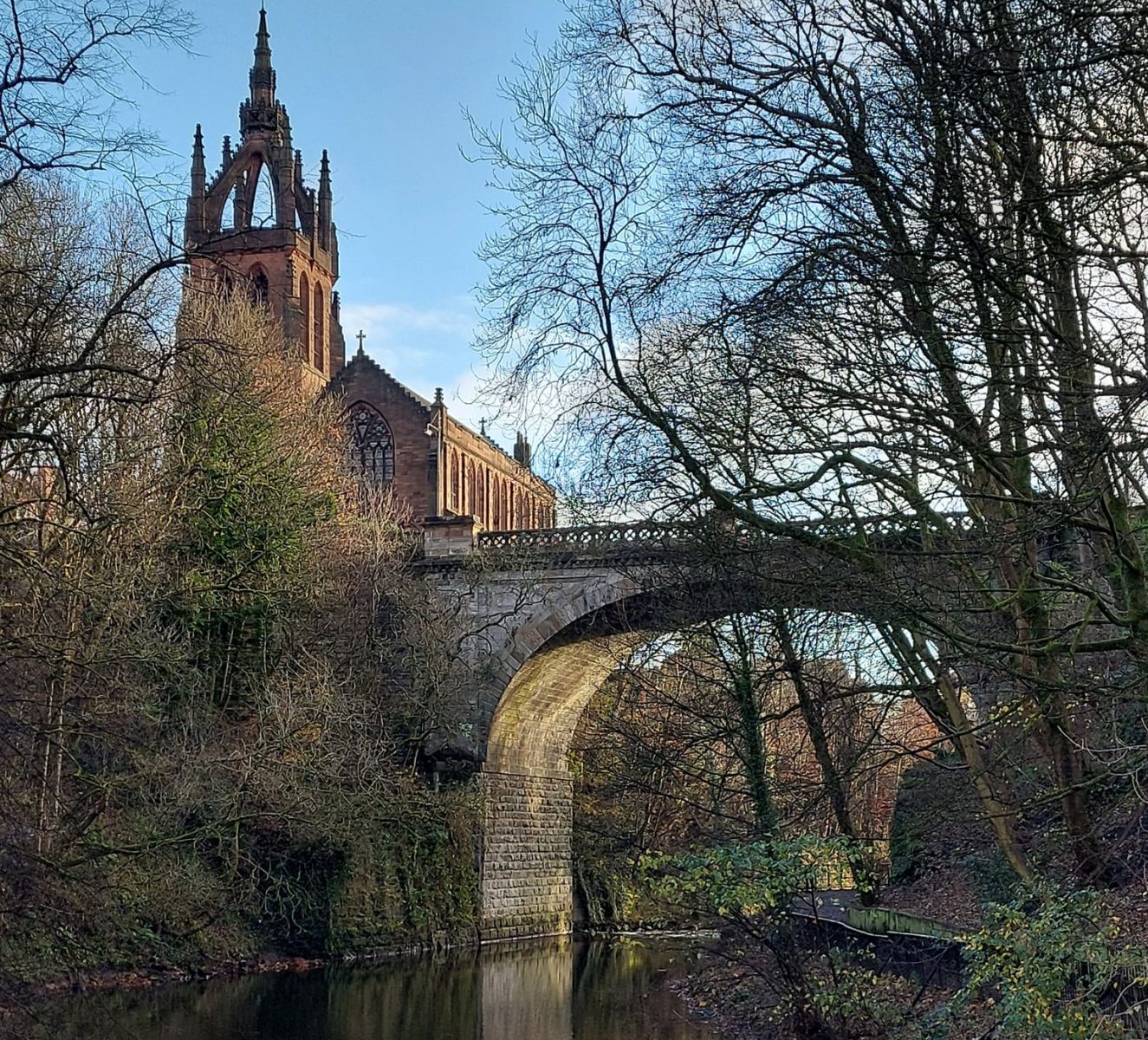
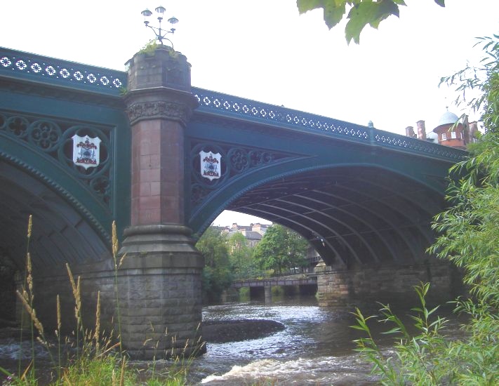
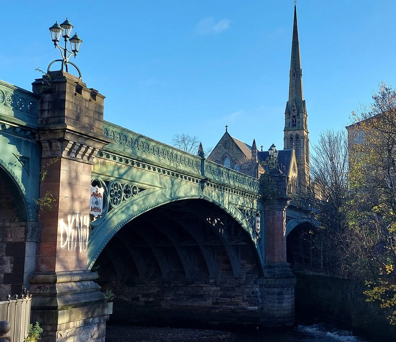
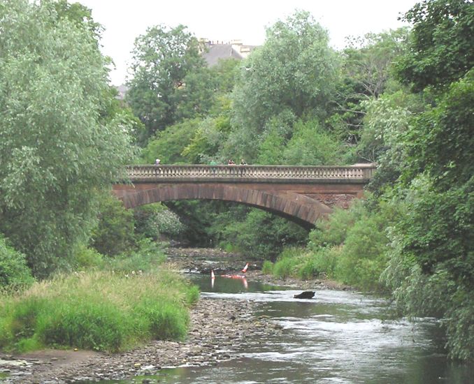
You pass under
several soaring sandstone bridges,
with the bustle of the West End high
above.
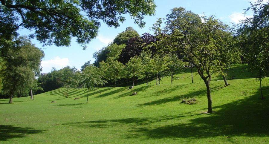
Down below it
is quieter, with plenty of shade from the trees.
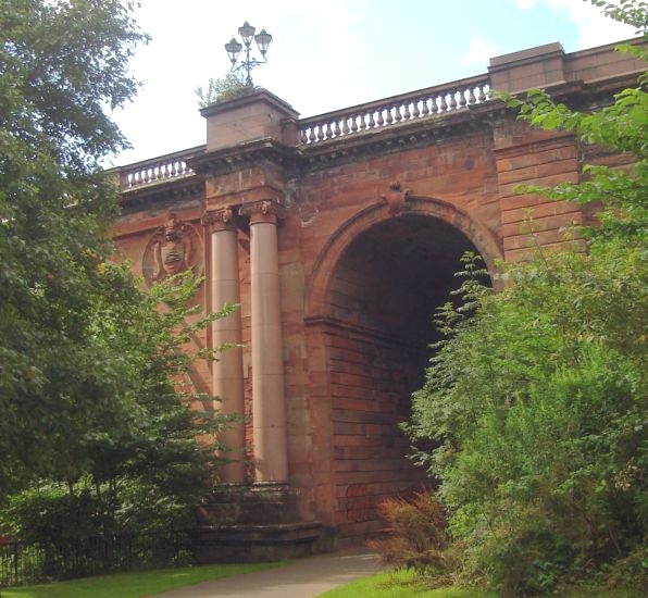
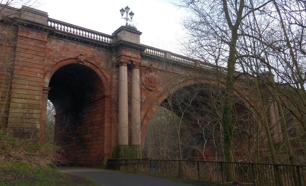
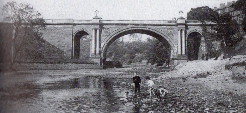
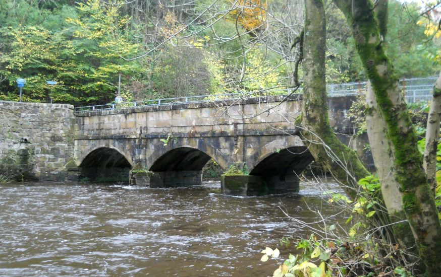
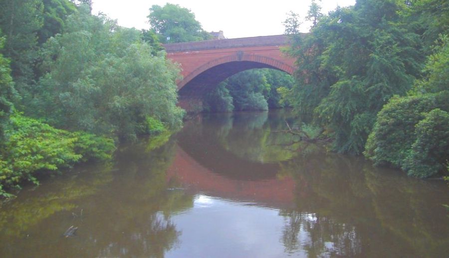
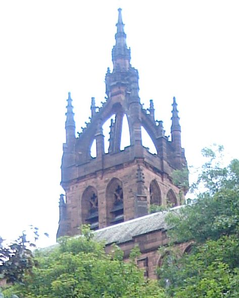
Kirklee Bridge has a plaque dated 1900. It is
typical of its period, with graceful arches
and polished marble pillars.
The path then
climbs away from the river into the
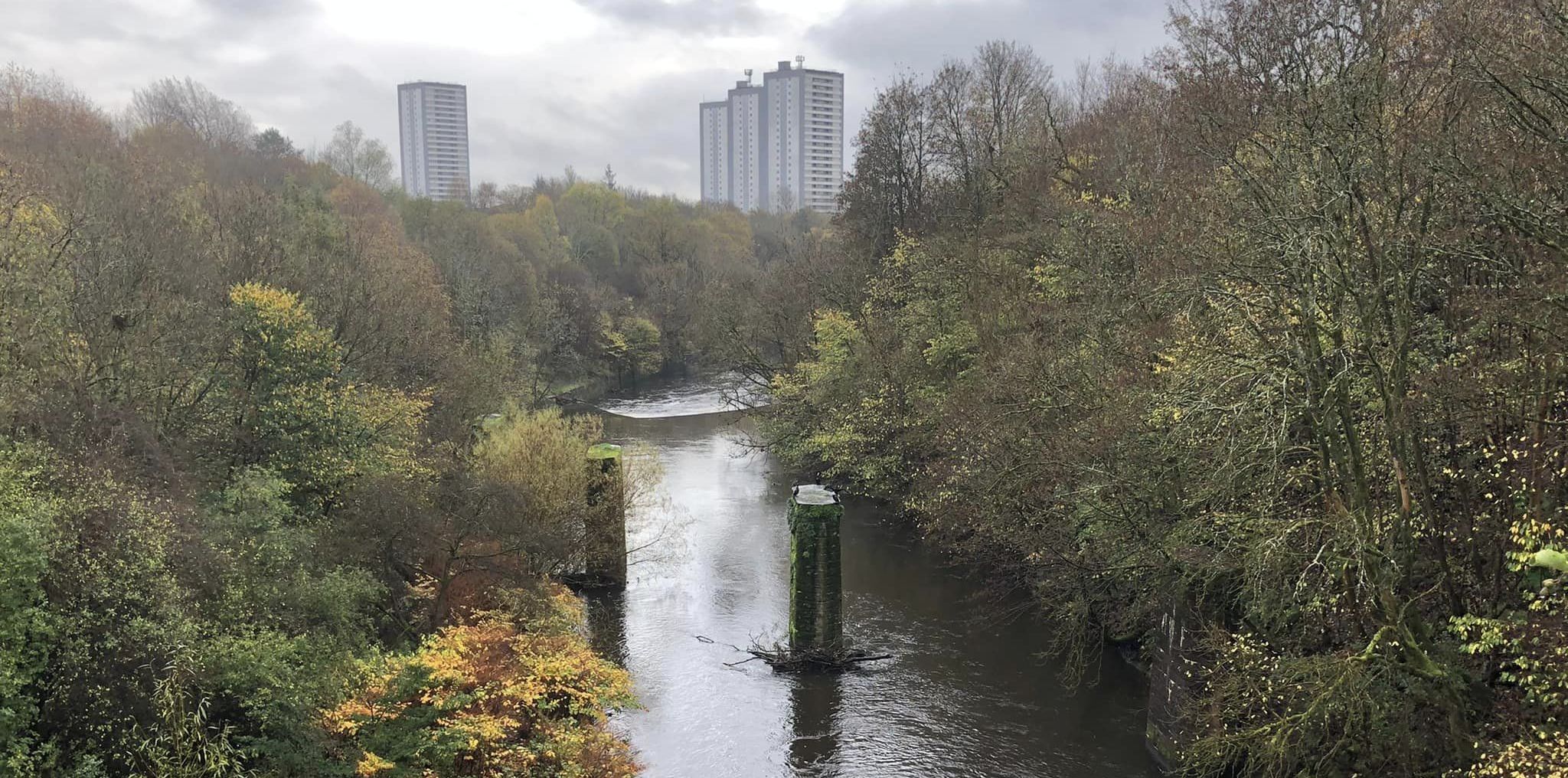
open, with high flats to the right.
At the end of the tower blocks, keep left,
cross Kelvindale Road and continue
ahead.
At the next fork go back down to
the riverside.
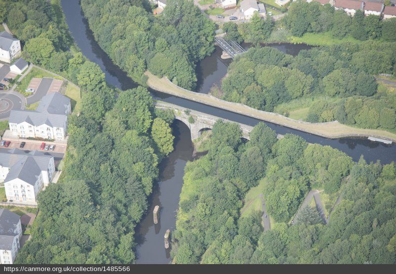
At the Kelvin
Aqueduct turn right ( signed to Forth
and Clyde Canal ).
Climb the zigzag
path and emerge at the foot of the
Maryhill Locks.
This flight of
five locks has been fully restored as part of
the Millennium project to reopen
the canal.
You may be
lucky enough to see a boat locking through. It's a
fascinating process, but hard work.
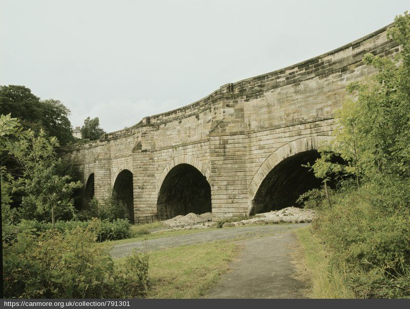
The locks, and
the aqueduct over the river, were
designed by Robert Whitworth and opened
in 1790.
The aqueduct
is 122 metres long and is 23 metres above the
river. The locks are considered to be
among the finest of their kind in
Britain.
At the top of
the locks, keep on the canal towpath and
follow it round to cross high above
Maryhill Road.
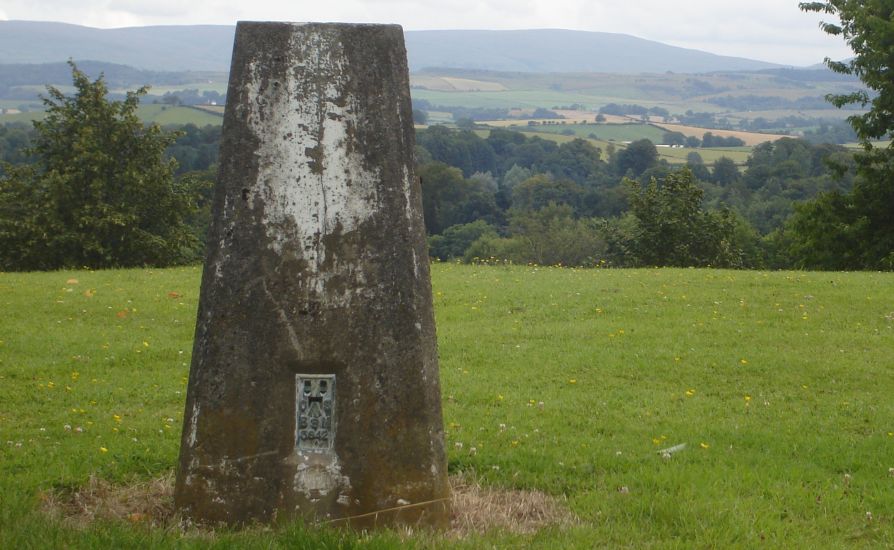
Looking back you
get a great view of the Campsies. Swans
may be seen here - and in
spring, their cygnets too.
Before long you
reach Stockingfield Iunction. The main
canal swings left here, heading for
the Falkirk Wheel 35km away, but keep
ahead, on the
Port Dundas
Branch. On the right is Ruchill Parish
Church.
If you are lucky,
the church hall ( one of Charles Rennie Mackintosh’s
lesser-known gems, but worth a
look ) might be open for tea.
Ruchill was originally called Roughill and on what
is now Smeaton Street there was a
mansion house.
Continue with
the canal, which for a time is next
to a busy road. In general however it
is surprisingly quiet.
The next landmark is Firhill, home of Partick
Thistle FC, known as the Jags.
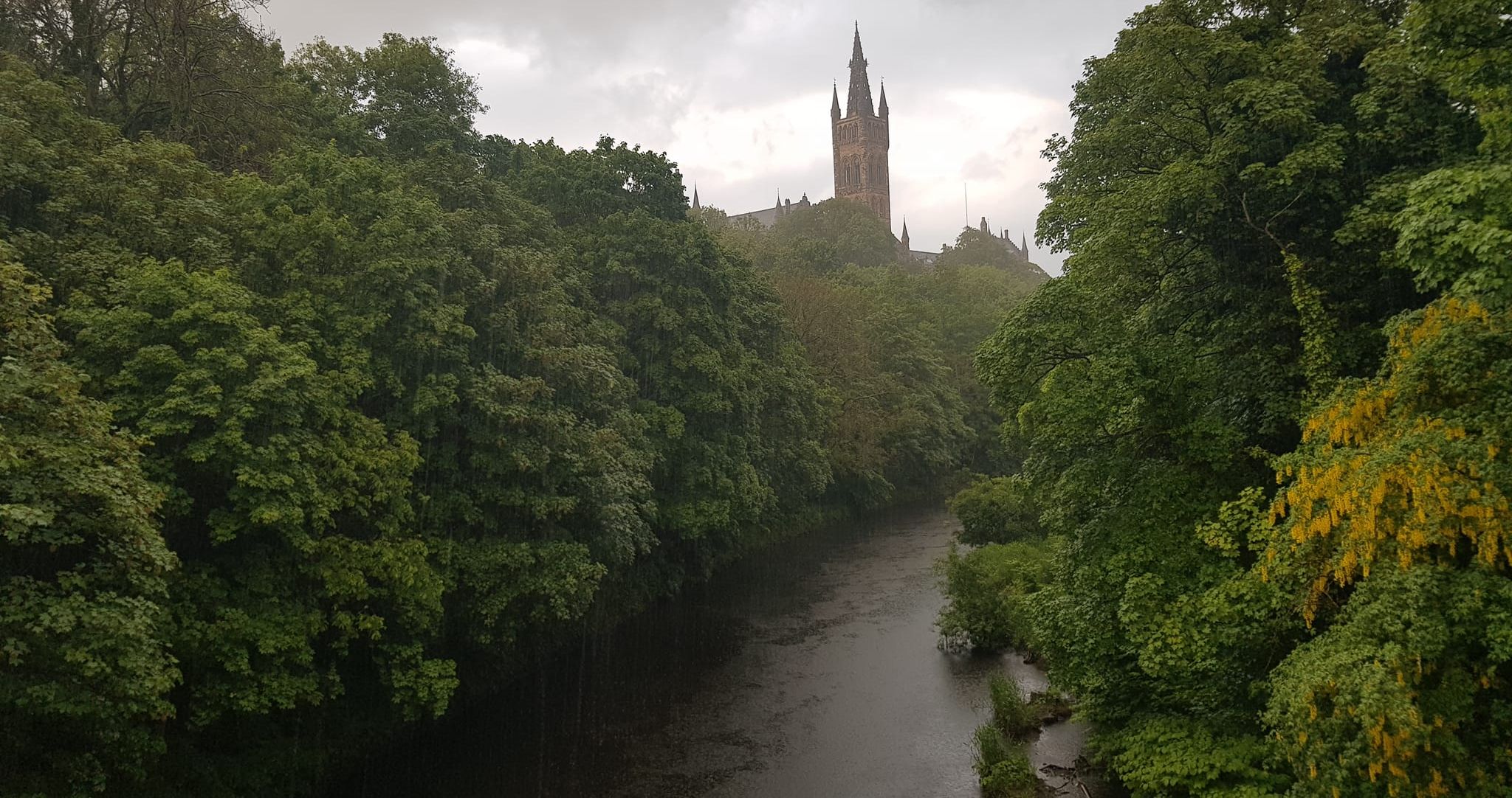
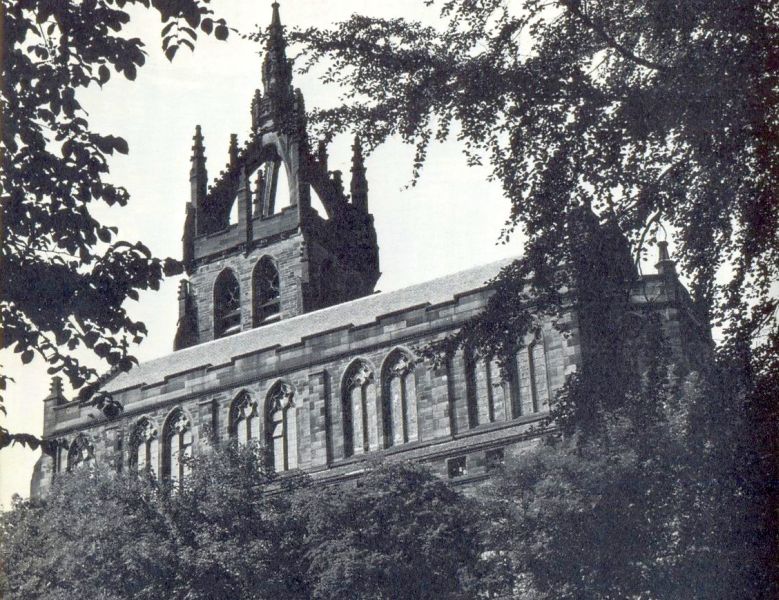
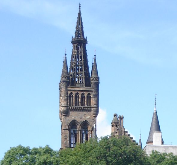
Not far from here is Queen’s Cross Church. This
is Charles Rennie Mackintosh’s only
completed church design and is quite
beautiful.
The church
is dedicated to St Matthew, but nowadays is as much
a shrine to CRM and his magnificent
designs.
Before long the
apartments and boats moored at
Speirs Wharf come into view. A
community has sprung
up here, some no
doubt attracted bythe unusual
possibility of living on a boat in the middle
of a city.
The main apartment building
was once a mill. The area is named
after Archibald Speirs, who was
chairman of the canal committee at the
time it was opened. He would, no doubt,
be more than pleased to see the
area thriving as it is today — and
he would recognise the old Canal House
which still stands, marking the end of
the waterway and of the walk.
ROUTE PLANNER
Map: OS
1:25.000 Explorer map 342
(Glasgow).
Distance: 4
miles / 6.5km
Time: 2-3 hours
Start: Kelvin
Bridge subway station ( GR: NS 573669 ). Finish:
Speirs Wharf ( GB: NS 586664 ).
Public
transport: Subway or buses from Glasgow city centre
to Kelvin Bridge.
Twenty minute
walk from Speirs Wharf to main bus and train
stations.
Information:
Glasgow iCentre, 0141 566 4083.
Route: Turn
right out of subway station and cross river to
pick up Kelvin Walkway signs.
Follow main path, recrossing the river.
After Kirklees Bridge path rises to cross open area then
drops to cross a road.
At fork go left, down to the river again.
Just before canal aqueduct turn R up zig-zag path to
the foot of Maryhill Locks.
Walk up beside the locks and follow the canal
path all the way to Speirs Wharf.
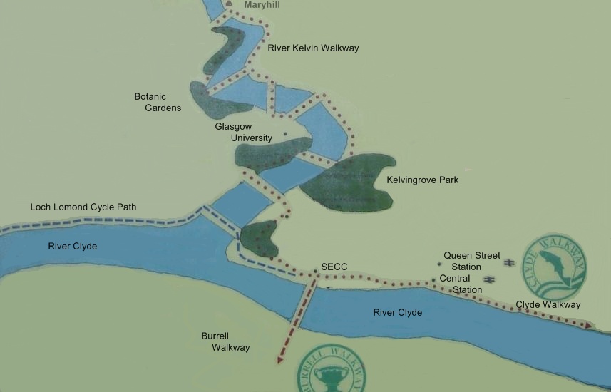
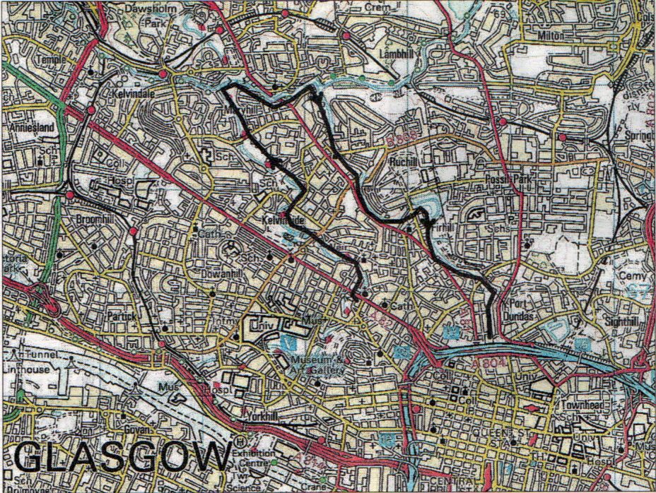
Map of
River Kelvin Walk
Forth &
Clyde Canal / Kelvin Way Circular Walk - Route Description:
This
five mile circular walk links the former industrial Forth and Clyde canal at
Maryhill with the River Kelvin and the Botanic
Gardens.
It starts at the Maryhill Lock near Skaethorn Road. At a decorative
black metal gate go through it and cross over the canal on anyone of
the impressive five locks and basins. These were built in the late 17805
with a raised canal summit height of over 12 metres. At one time they
were part of a boatyard with a dry dock, Kelvin Dock, where a variety
of
ships were built some of which were used for the D-Day Normandy Landing.
The walk turns left onto a towpath and looking back there are views of
the Kilpatrick Hills.
The towpath twists and turns as it runs alongside the Canal and passes
new housing on both sides. lt crosses over the Maryhill Road Aqueduct,
an interesting viewpoint, and passes informative display panels
detailing the small industries of the area.
At the Stockingfield Junction, the walk by-passes the section of the
Canal to Bishopbriggs and the East, and
continues along the Glasgow Branch to the student accommodation flats on
the left where it leaves
the Canal at the side of the overhead footbridge. lt crosses Maryhill
Road at the traffic lights and continues ahead up the lane at the side
of the fire station before turning right into Oban Drive and then left
at Queen Margaret Drive. Be careful in this busy traffic area. Cross
Queen
Margaret Drive at the lights, turn left to pass Kelvin Drive and then
cross over Queen Margaret Bridge before turning right through the gates
into Botanic Gardens. This is a
lovely park with its well presented flower beds, grass surrounds and its
long established indoor plants in the Kibble Palace.
The walk passes by a very nice tea-room and turns right onto the Main
Drive in front of the beautifully designed glass houses. lt follows the
sign, ‘Kelvin Walkway‘ to pass by the children's play area and on
exiting the Park through the gates turns sharp right towards the river.
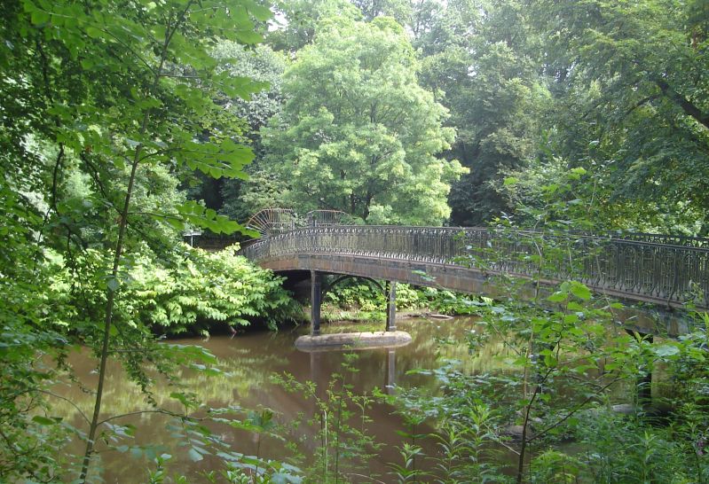
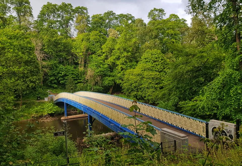
lt passes by the Ha’penny Bridge and enters through the gate into the
Botanics Arboretum with its substantial parkland.
Following along the path at the side of the river, the walk goes under
the mammoth sandstone Kirklee Bridge, crosses the river at the next
footbridge and turns left to climb out of the Botanic Gardens through the
archway of the old railway bridge to follow the sign, “Maryhill Locks”.
Still along the side of the river, the walk passes by the football
pitch and high flats. It crosses Kelvindale Road and continues along the
footpath until it leaves the riverside on the uphill zig-zag path in
front of
the Maryhill Locks Aqueduct. Before crossing back over one of the locks
and back to the start. It is worth taking a short detour to the left to
the
parapet of the 400ft aqueduct which stands 70ft with a wonderful view
looking down the Kelvin valley which is a superb tourist attraction.

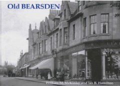
 :: Bearsden
Photo
Gallery
:: Bearsden
Photo
Gallery 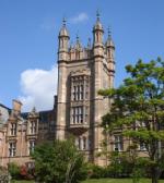 :: Kelvin River Walkway