|
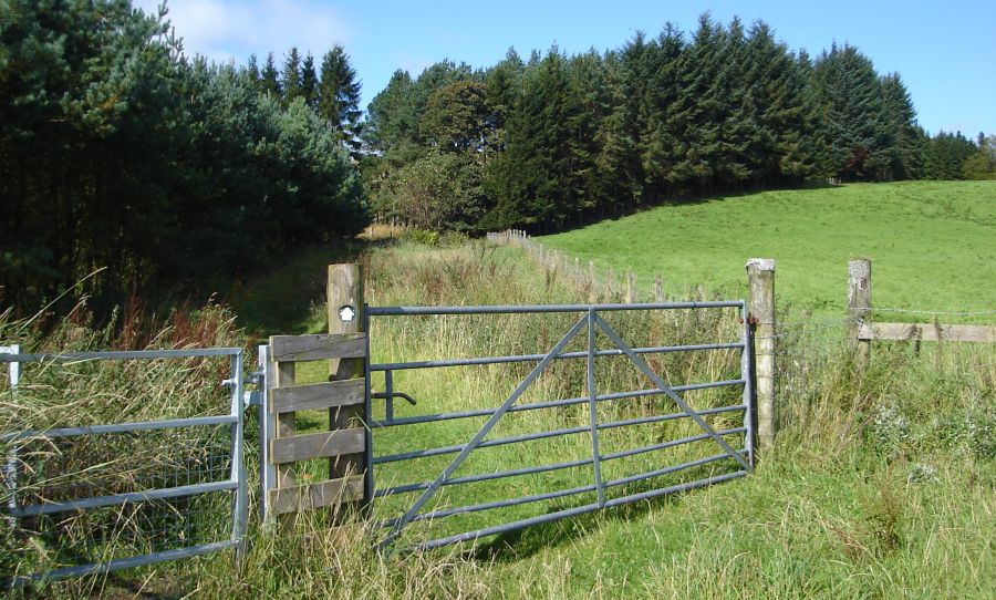
Bearsden & DistrictJaw Reservoir
|
  |
| |
Bearsden & DistrictJaw Reservoir
|
|
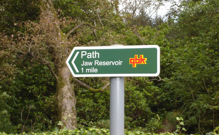 Signpost
to Jaw Reservoir
on Cochno Road at entrance to Edinbarnet House |
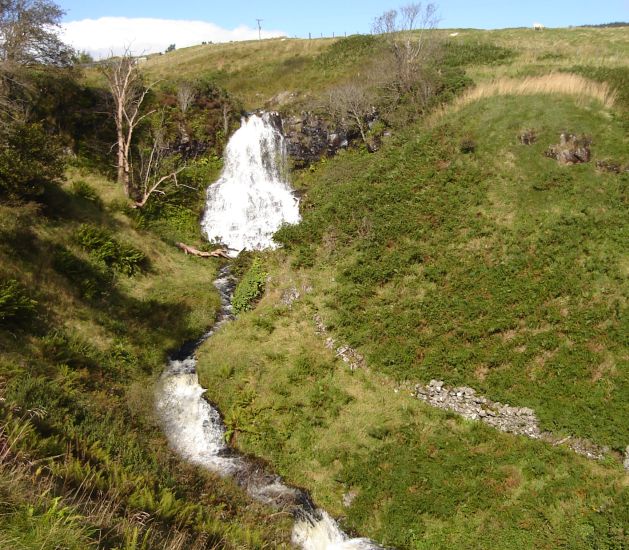
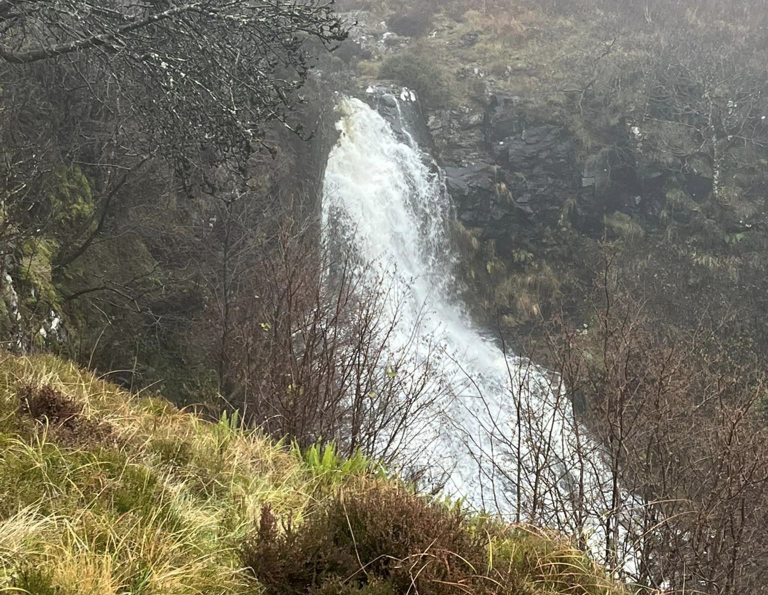
 Lady's Lynn
Waterfall on the Jaw Burn on route to Jaw Reservoir |
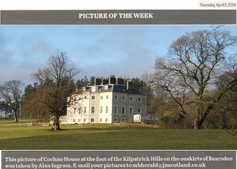 Cochno House ( b1757 ) The mansion was built in 1757 to replace an earlier house erected by the Hamiltons of Cochno and extended in 1842. The University of Glasgow purchased the estate in 1954 and established the Cochno Farm and Research Centre there. Glasgow University Archives used part of the house as an out-store during the 1980s, and it was renovated in the 1990s to serve as a teaching and conference facility. |
 Path to Jaw Reservoir |
 View
from Path to Jaw Reservoir |
 |
 |
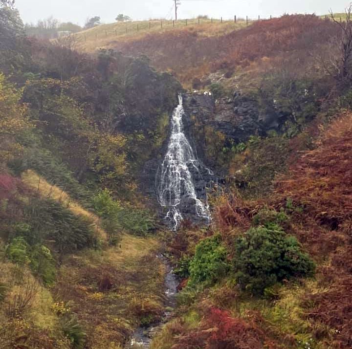 Grey Mare's Tail Waterfall
|
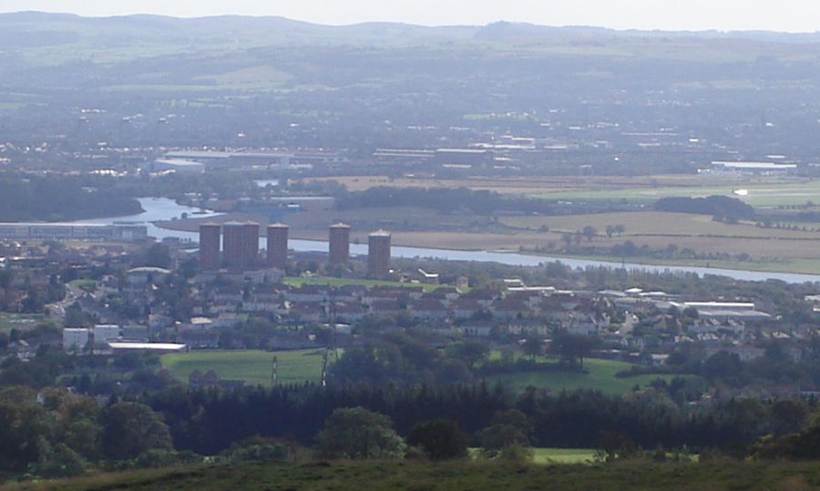 River Clyde
on route to Jaw Reservoir |
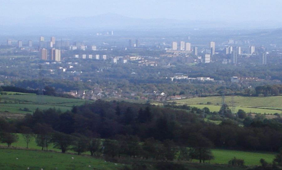 City
of Glasgow
on route to Jaw Reservoir |
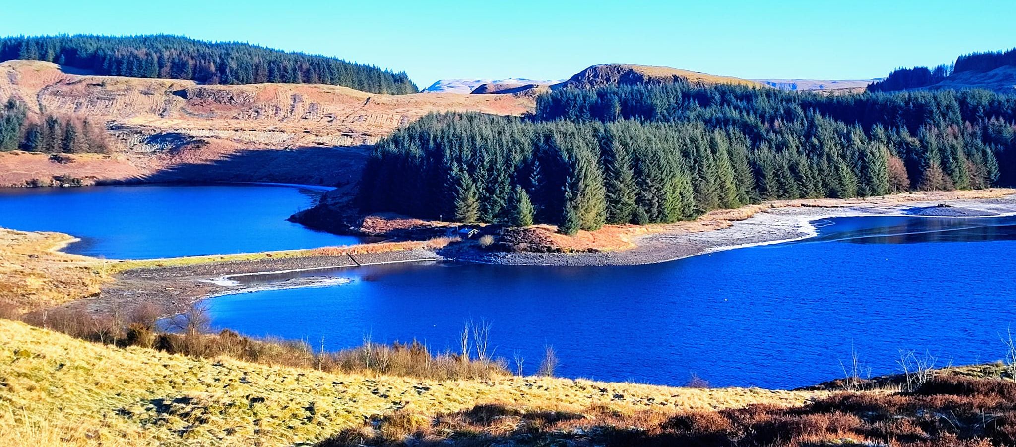
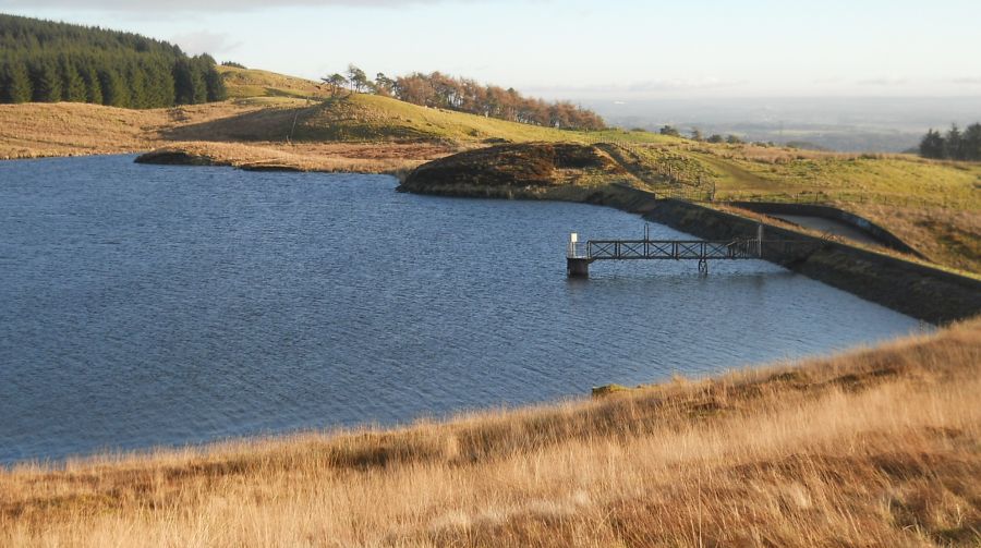
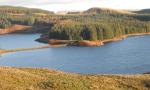
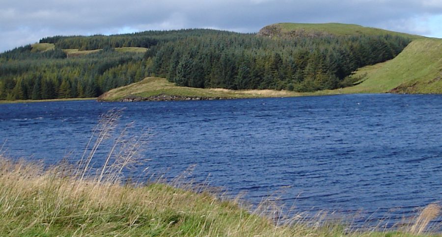 Jaw Reservoir
and Dunellan in the Kilpatrick Hills |
 |
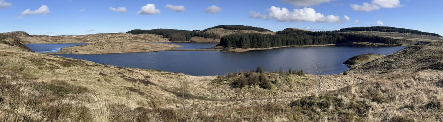 |
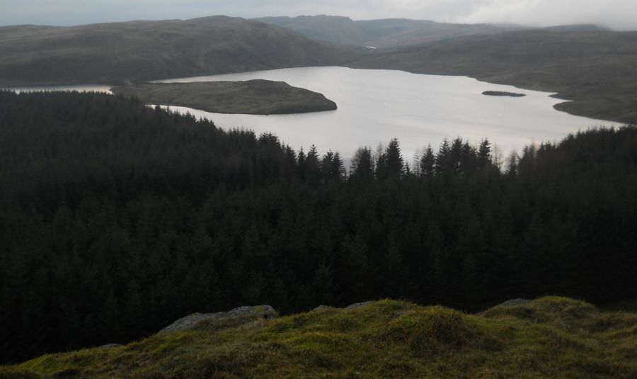
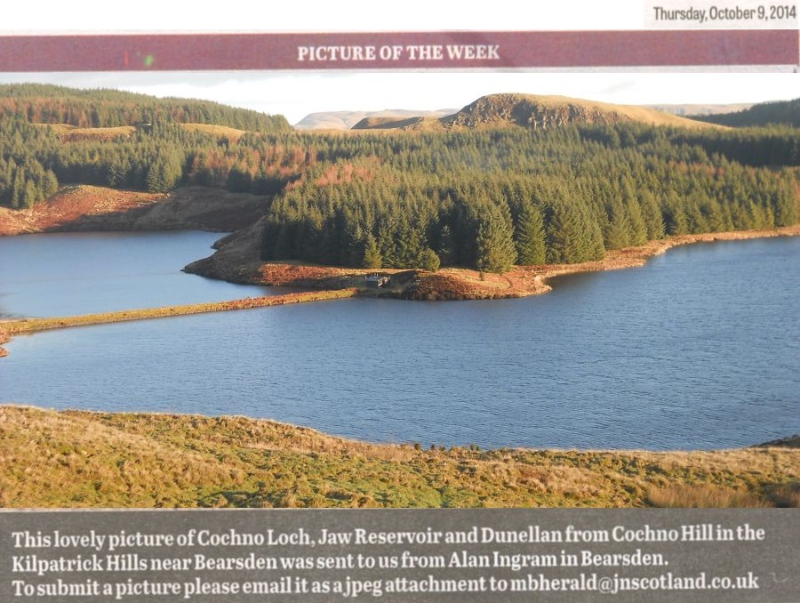 View from Cochno Hill
of Cochno Loch, Jaw Reservoir and Dunellan in the Kilpatrick Hills |
 View from Cochno Hill
of Cochno Loch, Jaw Reservoir and Dunellan in the Kilpatrick Hills |
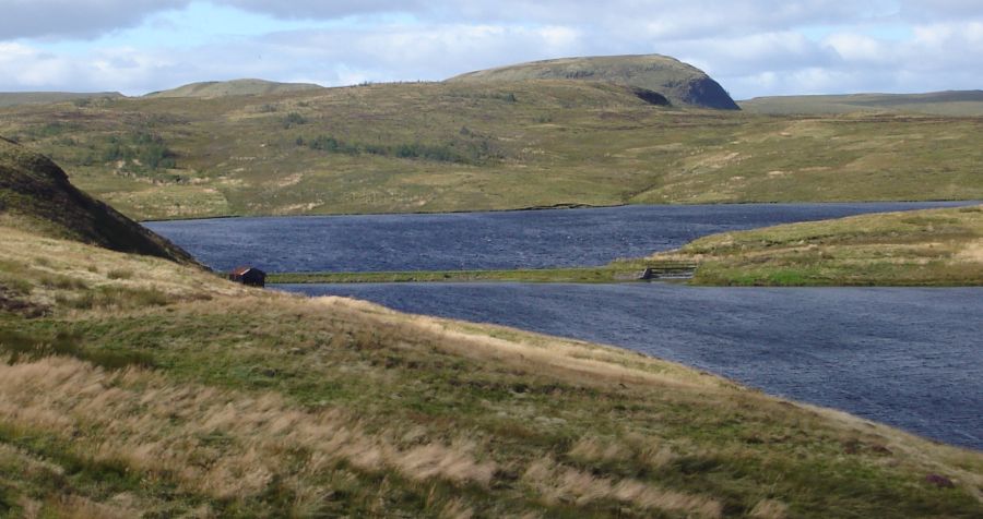
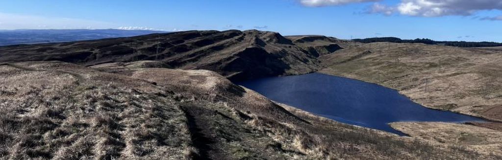
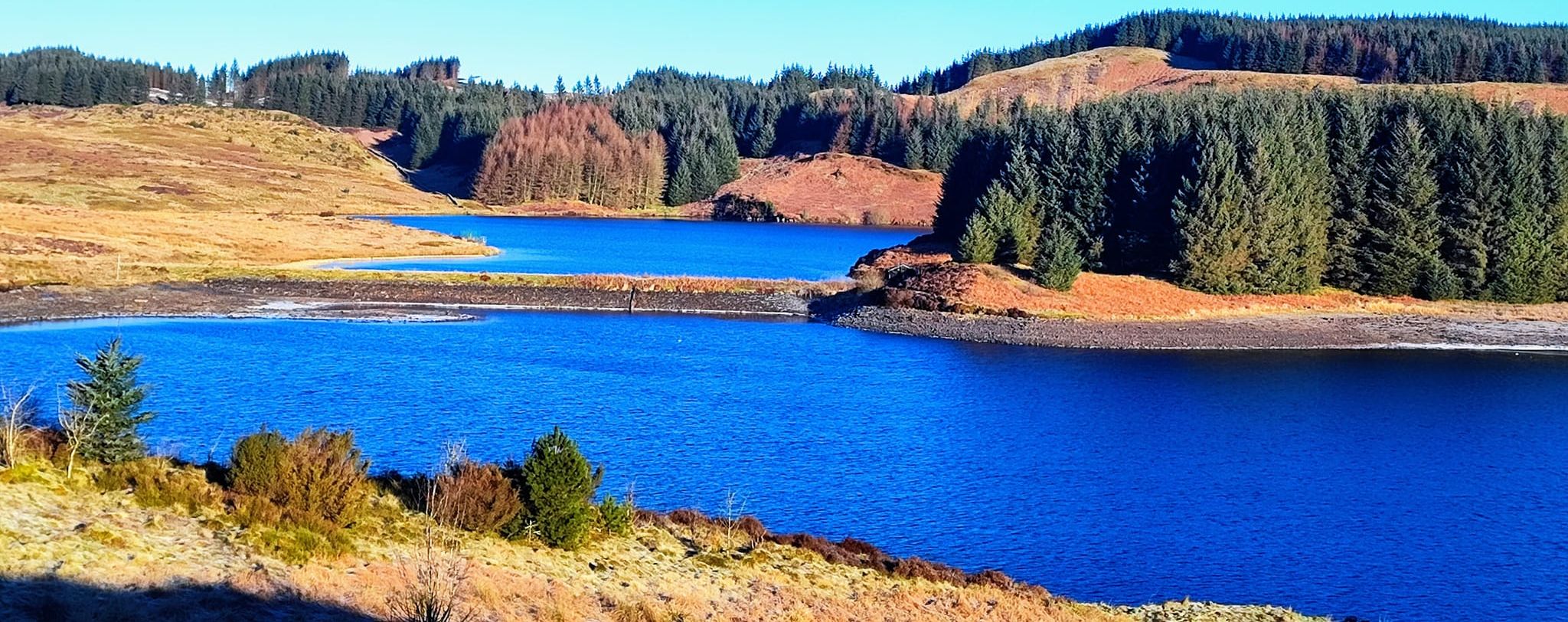 Cochno Loch, Jaw Reservoir in the Kilpatrick Hills |
 |
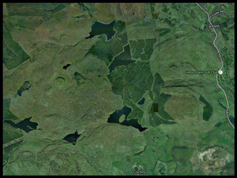
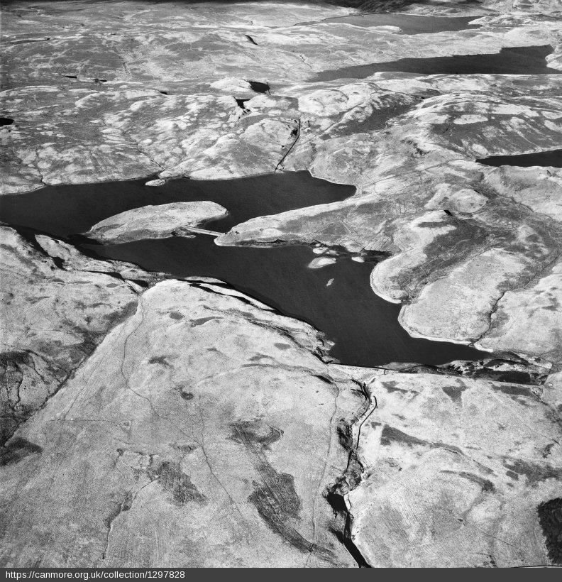 Aerial view of Cochno Loch
and Jaw Reservoir |
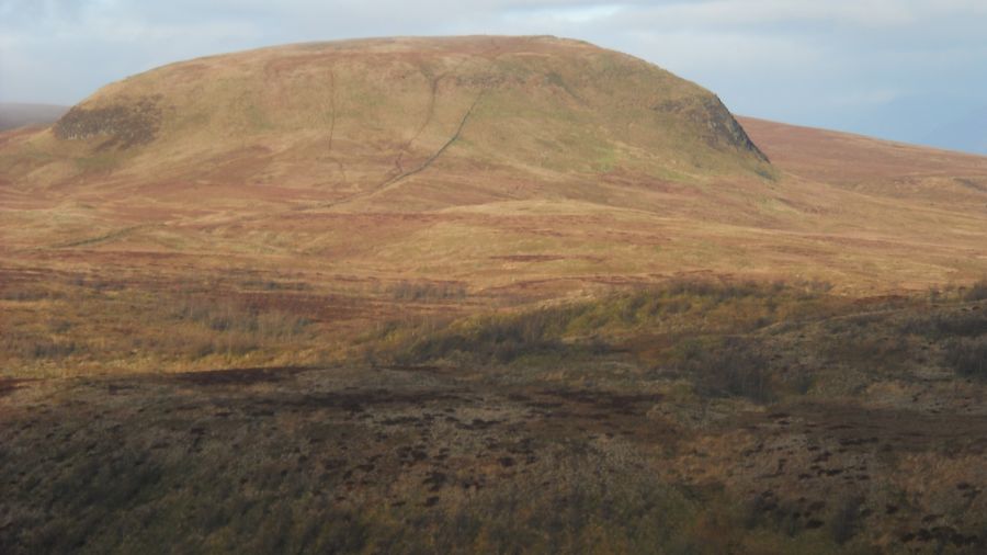 Duncolm
in the Kilpatrick Hills Ben Lomond is also to be seen |
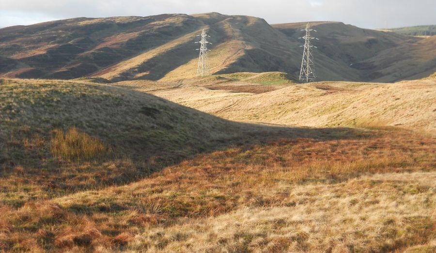 The
Slacks
in the Kilpatrick Hills |
 The Slacks above Greenside Reservoir
|
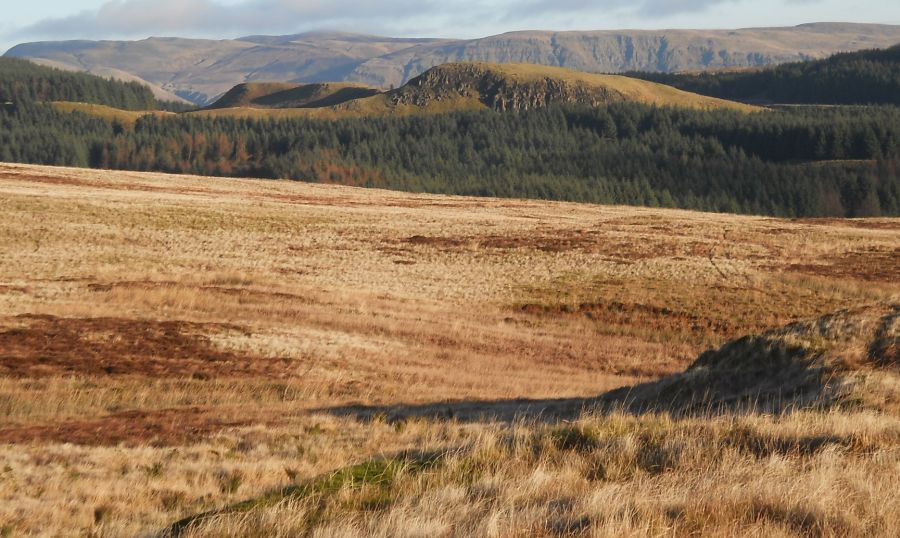 Campsie
Fells
from Cochno Hill |
 Dam
on Jaw Reservoir
|
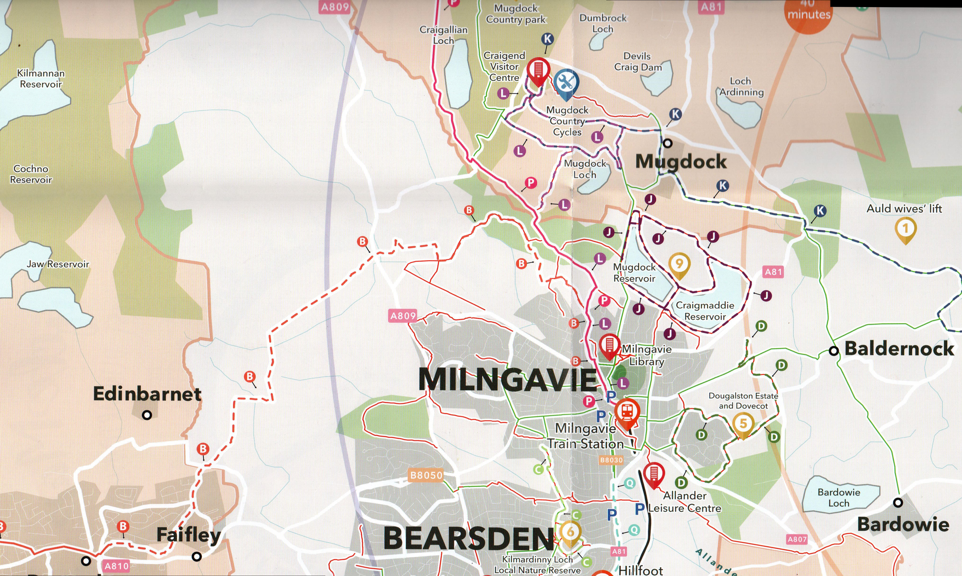
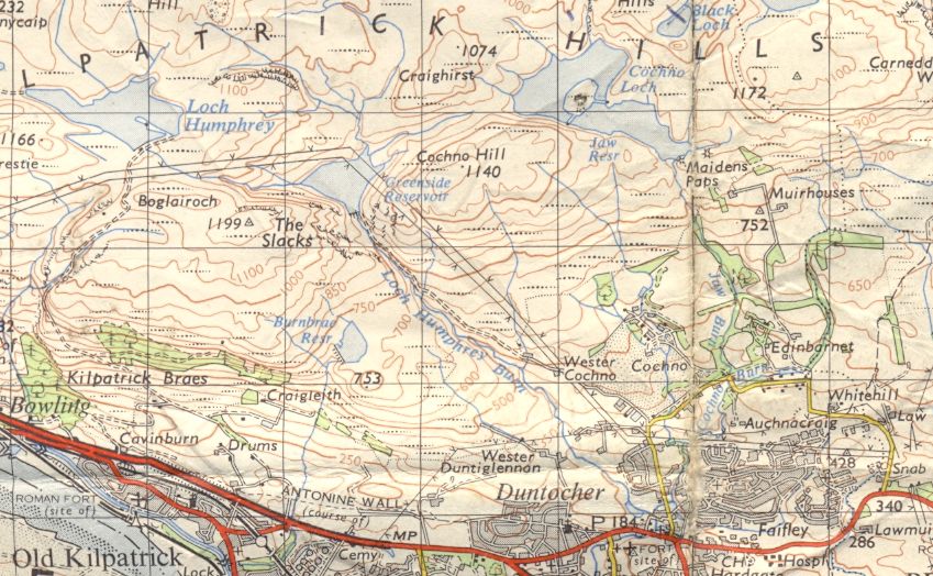 Map of Jaw Reservoir
and Cochno Loch |
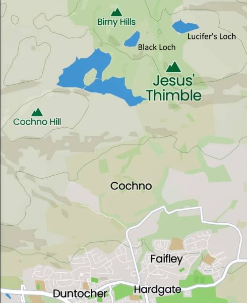 Map of
Cochno Hill
and Black Loch |
 Map of Jaw
Reservoir,
Cochno Loch & Duncolm |
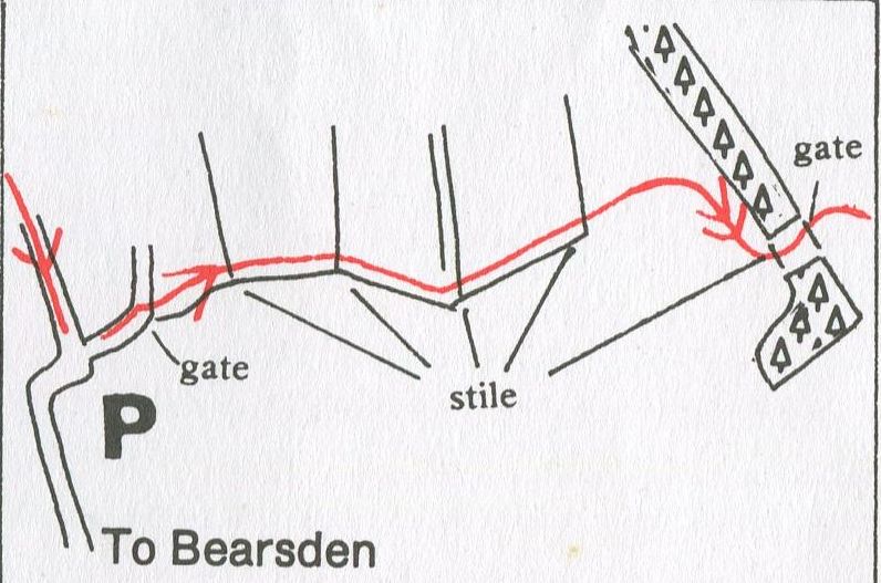
JAW RESERVOIR - ROUTE DESCRIPTION:
 Map of Map of approach route
to Jaw Reservoir, |
 Map of Jaw
Reservoir,
Cochno Loch, Greenside Reservoir & Duncolm |
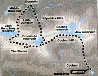
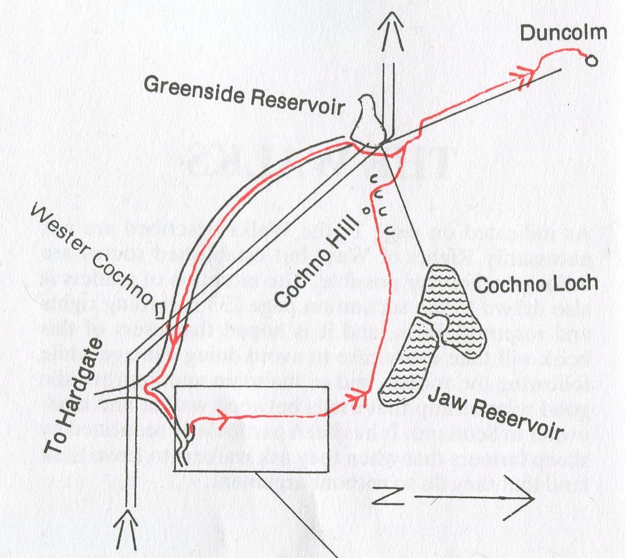
JAW RESERVOIR, DUNCOLM & GREENSIDE RESERVOIR - ROUTE DESCRIPTION:
Easy and pleasant walking with gentle climbing. Good views over the Clyde basin.
The name ‘Cochno’ means ‘place of little cups’ and refers to cup and ring markings on stone in the area.
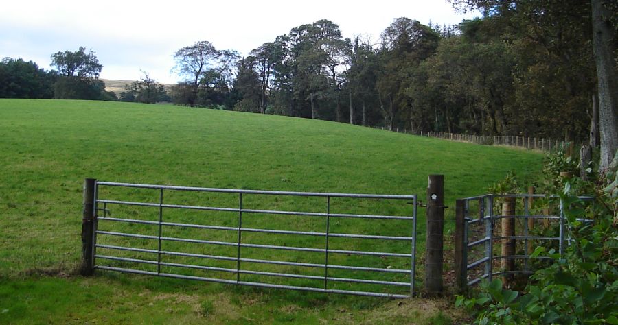
Park car in space at side of road near E entrance to Cochno estate ( Glasgow University Agricultural Department).
Enter Cochno Farm road and walk along for about 110 yards. On coming out of the woodland turn right
over a gate and onto a wayleave and pipe track ( granted at one time as access for anglers to the hill lochs ).
Continue alongside wood until first stile. Cross this and follow along fence on right. Go over second stile and
along farm track, then over third stile at side of gate. Proceed along farm track which becomes path, over
fourth stile at gate. Make for woodland. Turn uphill with woodland on your left. At the top cross remnants of fifth
stile, then through a gate and follow a path to right up a hill.
Soon you will be at the Jaw Reservoir. Turn slightly left uphill, alongside the Jaw but at a higher level
than the waterside path. Keep along above Cochno Loch to Cochno Hill ( 347m, 1138ft. ).
Then turn right down to break in the dyke which comes from Cochno Loch ( and goes to Greenside
Reservoir ). Now cross up and over tufty ground slightly left, through a col, and up to a dyke coming from
Duncolm ( and goes to Greenside Reservoir ). Cross dyke in order to get a better path up beside it, and follow
this. Just before the dyke starts to rise more steeply, follow a path to the left which leads you up to left
shoulder and avoids a rocky approach to the summit of Duncolm ( 401m, 1314ft ).
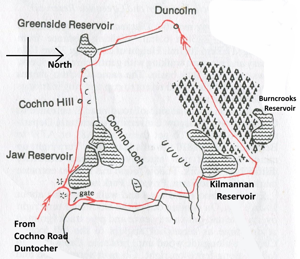
Return S alongside dyke, but continue to Greenside Reservoir, going round E side to road at dam. Follow
this down, passing Wester Cochno farm, to minor road. Turn left and back to car.
To shorten the walk, after Cochno Hill walk to Greenside Reservoir ( omitting Duncolm ).
 Route
Map for Kilmannan Reservoir,
Duncolm and Cochno Hill |
 Map of
Dumbarton Muir Reservoirs
|
 ::
Kilpatrick Hills
Gallery
::
Kilpatrick Hills
Gallery 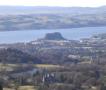 :: Clyde River
Walkway
:: Clyde River
Walkway 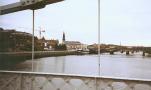
Glencoe | Ben Nevis | Knoydart | Isle of Skye | Isle of Arran | The West Highland Way
The Eastern Highlands | The Central Highlands | The Southern Highlands | The NW Highlands


Google
Analytics