|
City of Glasgow Gleniffer
Braes Country Park
|
  |
| |
City of Glasgow Gleniffer
Braes Country Park
|
|
 Map
of Gleniffer Braes Country
Park
on the southern outskirts of Paisley Gleniffer Braes is an upland park of moorland with woods and hill farming areas. Attractions include the wildlife and waymarked trails. |
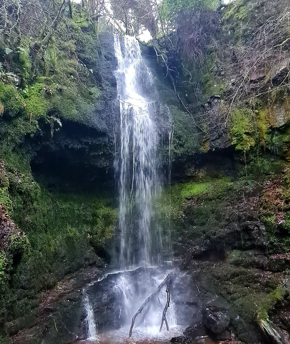
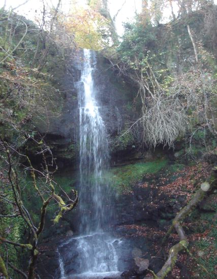 Craigie Linn
Waterfall in Gleniffer Braes Country Park |
|
Waterfall in Gleniffer Braes Country Park |
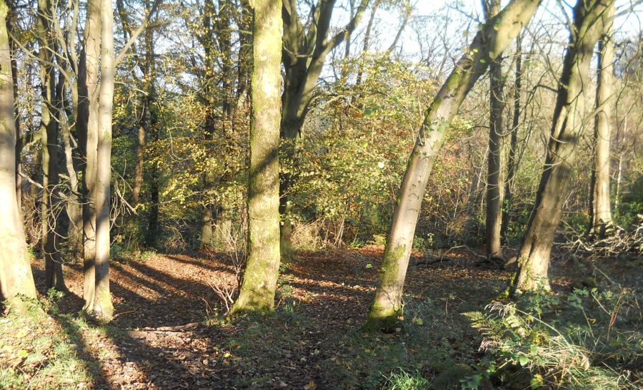 Trail
through Woods
in Gleniffer Braes Country Park |
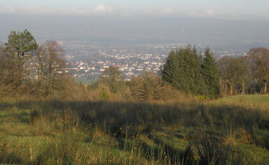 View
over Paisley
from Gleniffer Braes Country Park . |
 Glenburn
Reservoir in
Gleniffer Braes Country Park |
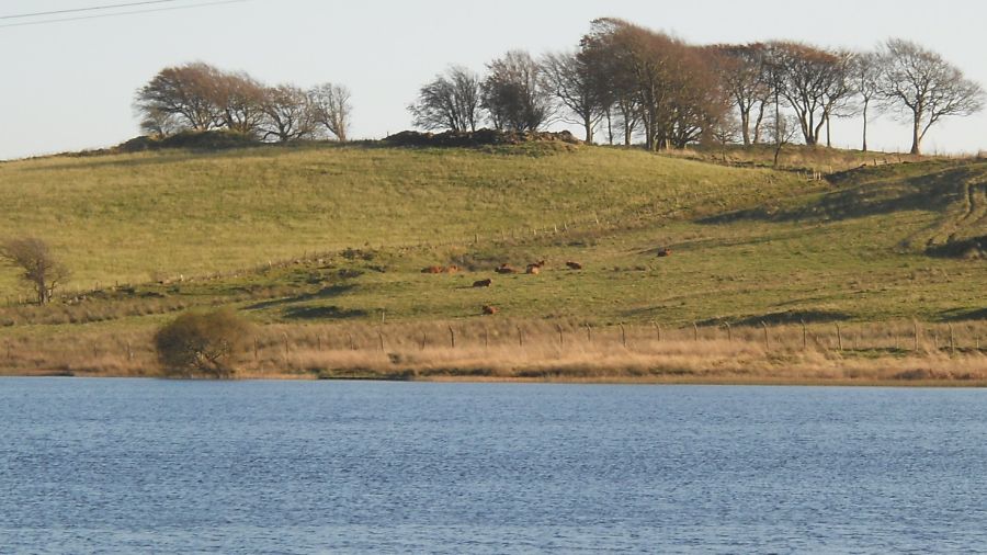
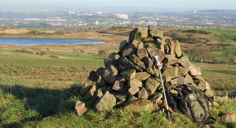 Harelaw
Reservoir
from cairn on Gleniffer Braes |
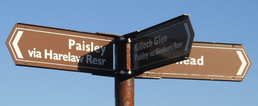 Signpost
in Gleniffer Braes Country Park |
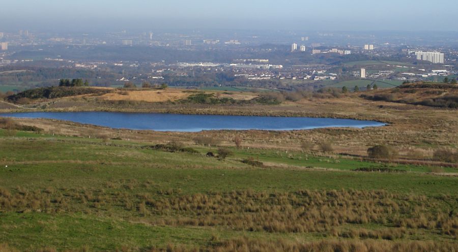 Harelaw
Reservoir
from Gleniffer Braes |
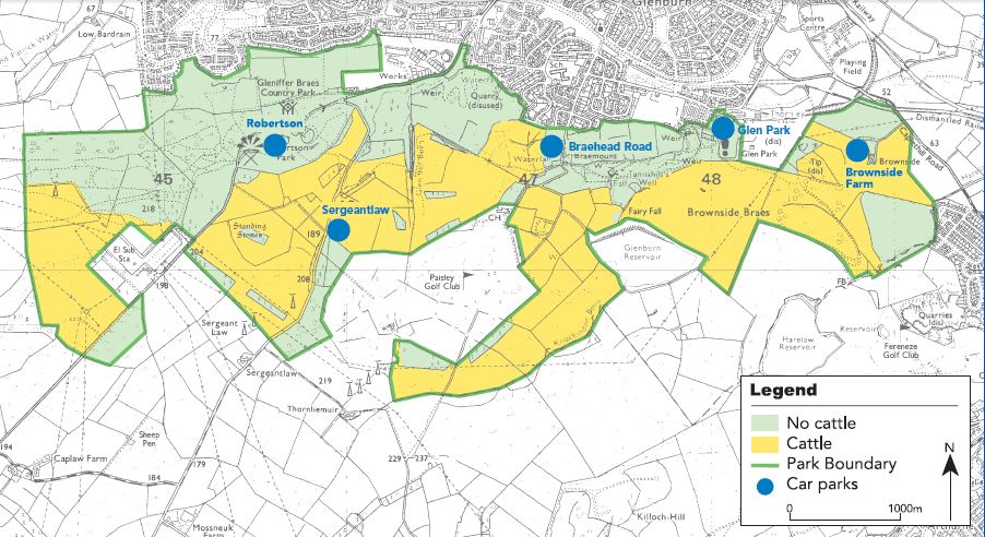
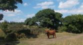
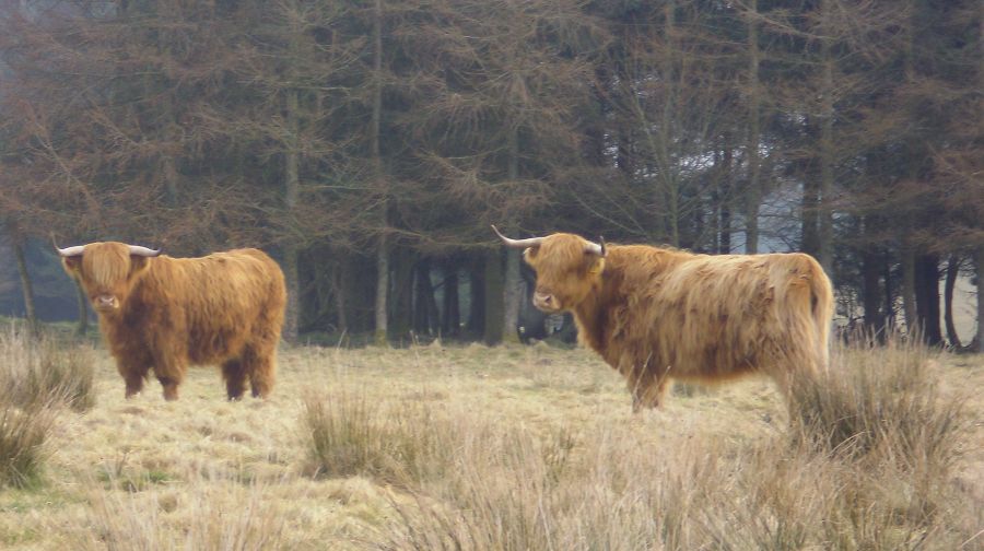 Highland
Cattle
in Gleniffer Braes Country Park The Cattle are used in the park to control the vegetation, preserve biodiversity and retain open spaces. |
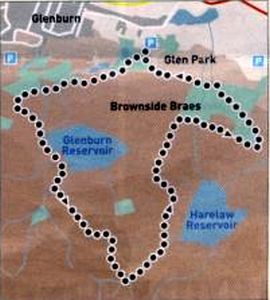 Route
Map
for Gleniffer Braes Country Park |
 Map of
Gleniffer Braes Country
Park
|
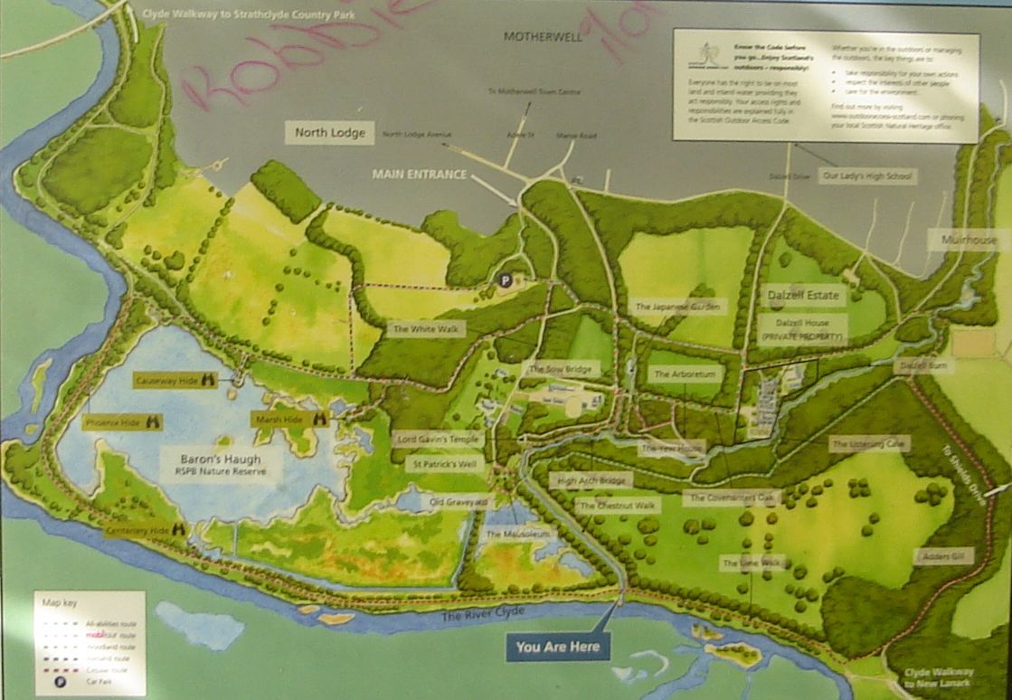
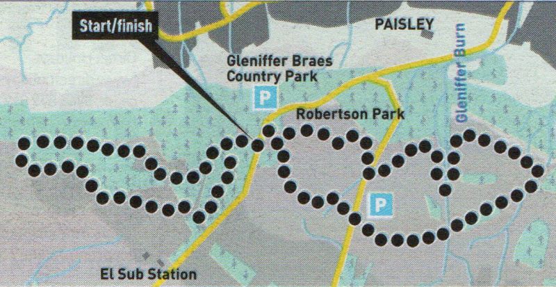 Route
Map
for Robertson Park
|
 ::
Gleniffer Braes
Gallery
::
Gleniffer Braes
Gallery 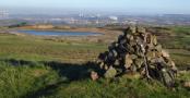
Glencoe | Ben Nevis | Knoydart | Isle of Skye | Isle of Arran | The West Highland Way
The Eastern Highlands | The Central Highlands | The Southern Highlands | The NW Highlands