  |
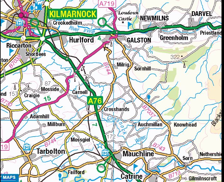
Scottish Towns Galston
|
 
|
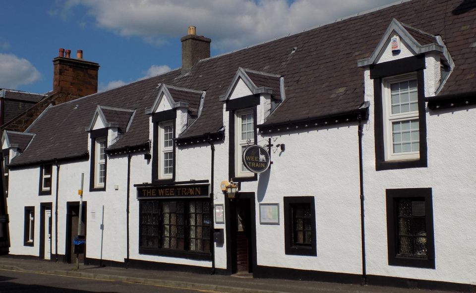
"Wee Train" pub in Galston Galston is
situated in wooded countryside
some 4 miles up-river from Kilmarnock and is one of the small towns in the Irvine Valley lying between the towns of Hurlford and Newmilns. To the north of the town is the ruin of Loudoun Castle. |
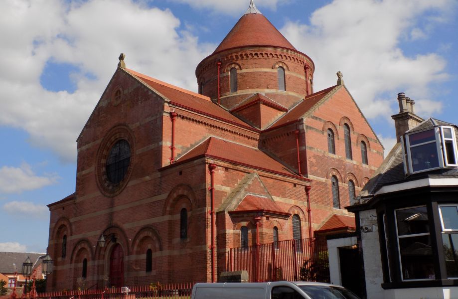
St Sophia Church in Galston
built in 1884/86
in Byzantine style based on the Hagia Sophia in Istanbul |
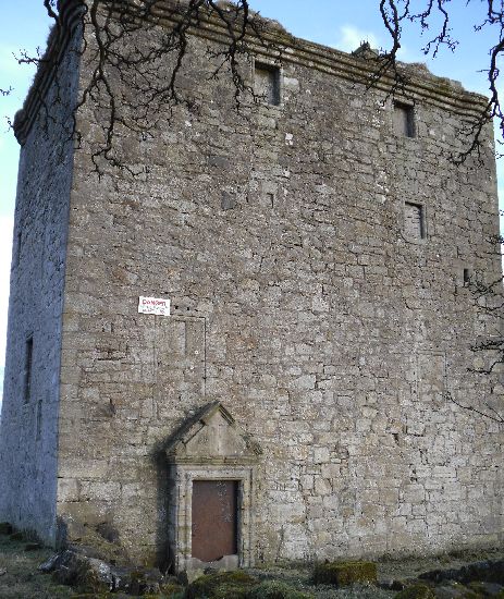
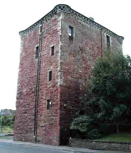
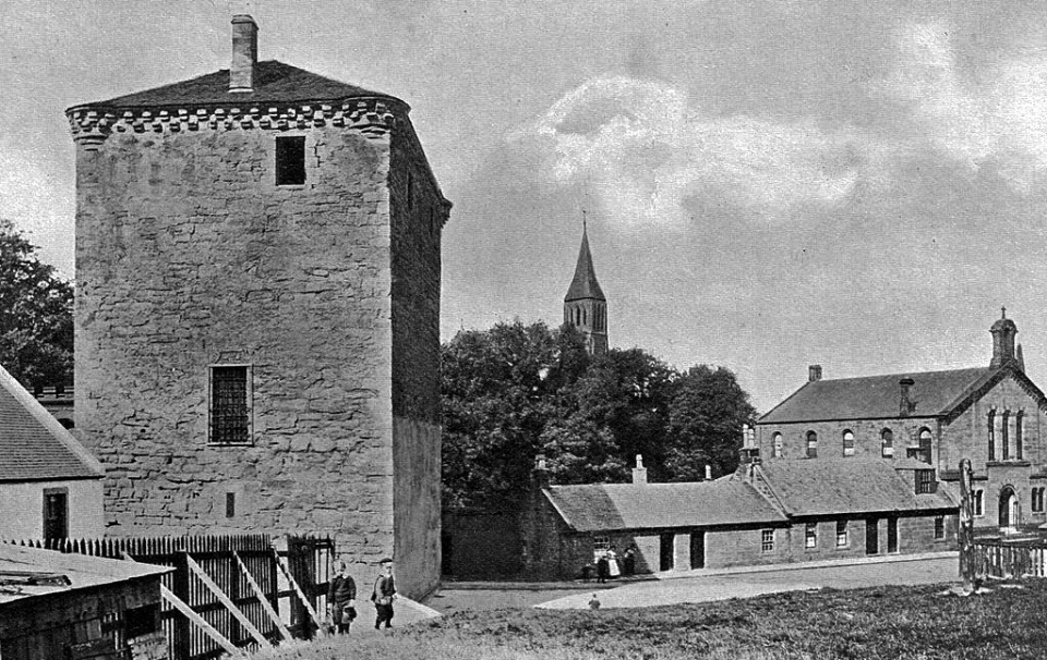
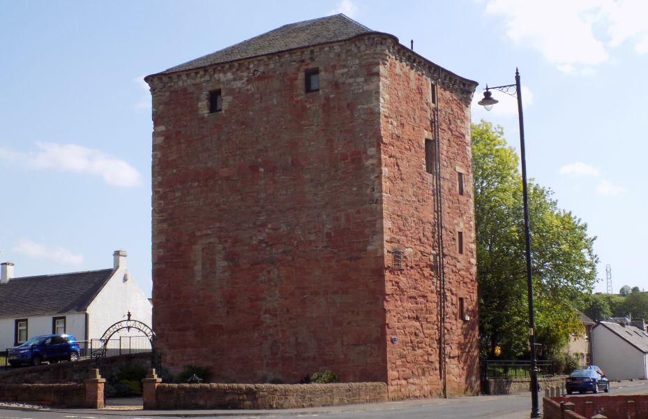 Barr Castle in Galston The five storeyed red sandstone
tower castle
probably dates from the 15th century It was also known as Lockhart's Tower and was built to control access points up the Irvine Valley |
 Barr Castle in Galston |
 Barr Castle in Galston |
 Barr Castle in Galston |
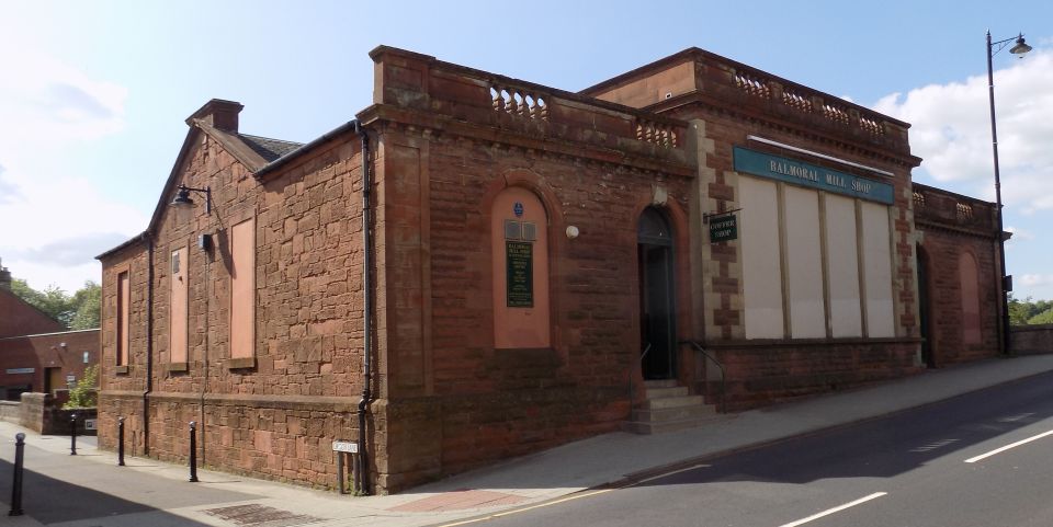
Balmoral Wool Shop in Galston |
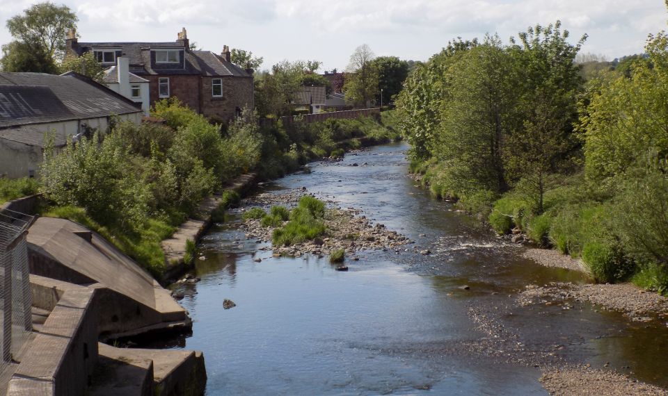
River Irvine at Galston |
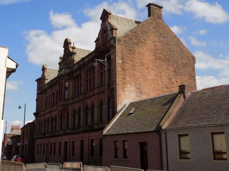
Galston Coop Building |
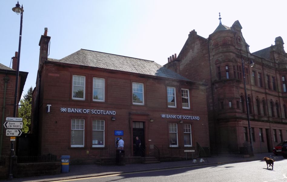
Bank of
Scotland and Galston Coop Building |
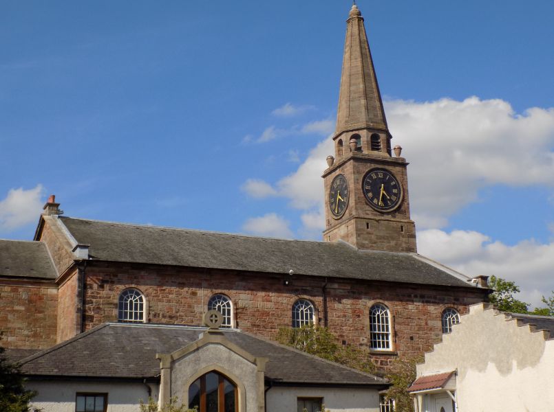
Parish Church in Galston |
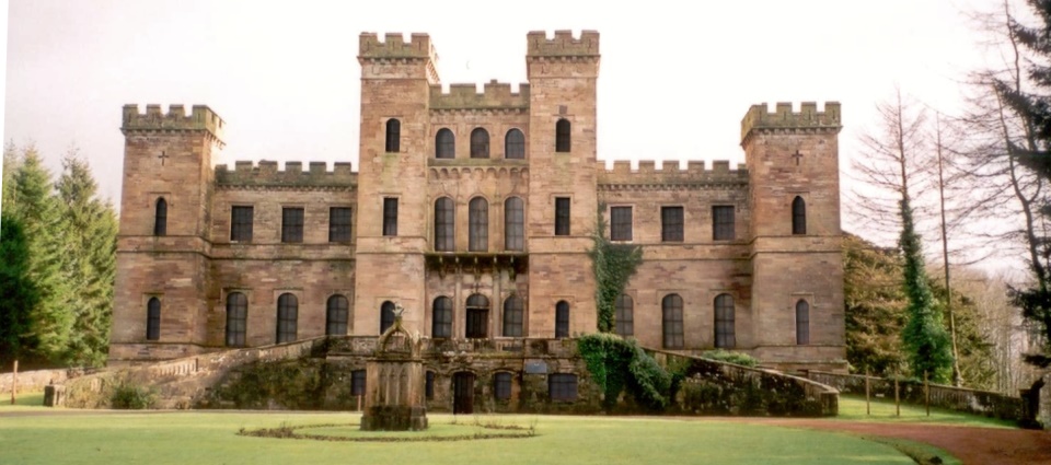
Loudoun Castle at Galston a ruined 19th-century country
house.
The ruins are a category A listed building |
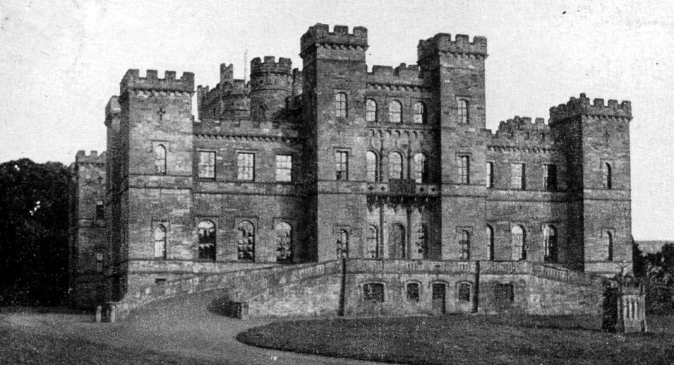
Loudoun Castle at Galston |
At the beginning of the 19th century Galston’s character and appearance began to change from a textile and agricultural centre to a major coal mining area.
The arrival of the railway from Kilmarnock in 1848 allowed new coal seams to open up.
Towards the end of the 19th century Galston had fifteen pits around the town employing around one thousand miners.
(a warren of disused mines lies far below the streets).
This brought wealth to the town allowing significant expansion and bound generations of the town’s people together.
The 20th Century saw the decline of mining locally and the last pit (Maxwood Pit) sadly closed in 1933.
The Goatfoot Colliery was situated where the Barrwood Gate housing development on the main road to Kilmarnock is now sited.
Deep coal mining was dangerous and treacherous, many lost their lives.
Glencoe | Ben Nevis | Knoydart | Isle of Skye | Isle of Arran | The West Highland Way
The Eastern Highlands | The Central Highlands | The Southern Highlands | The NW Highlands