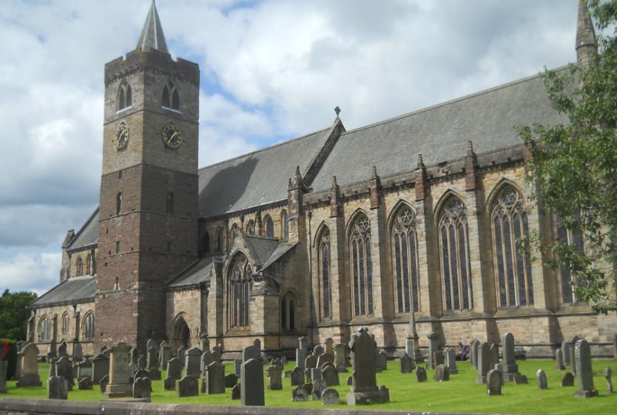
West Highland Way: Trailblazer Ochils and Campsie Fells

 Bearsden Walks

Dunblane Circuit

Walking in Scotland - Lonely Planet The Corbetts - SMC

Photographs of a circular walk from Dunblane to Kinbruck Village

 alongside the Allan Water in Central Scotland

Cathedral in Dunblane

The Cathedral in Dunblane

The building is largely 13th century in date
incorporating an originally free-standing 11th century bell-tower.
The tower was increased in height in the 15th century,
 a change evident in the colour of the stonework
 and in the late gothic style of the upper windows.
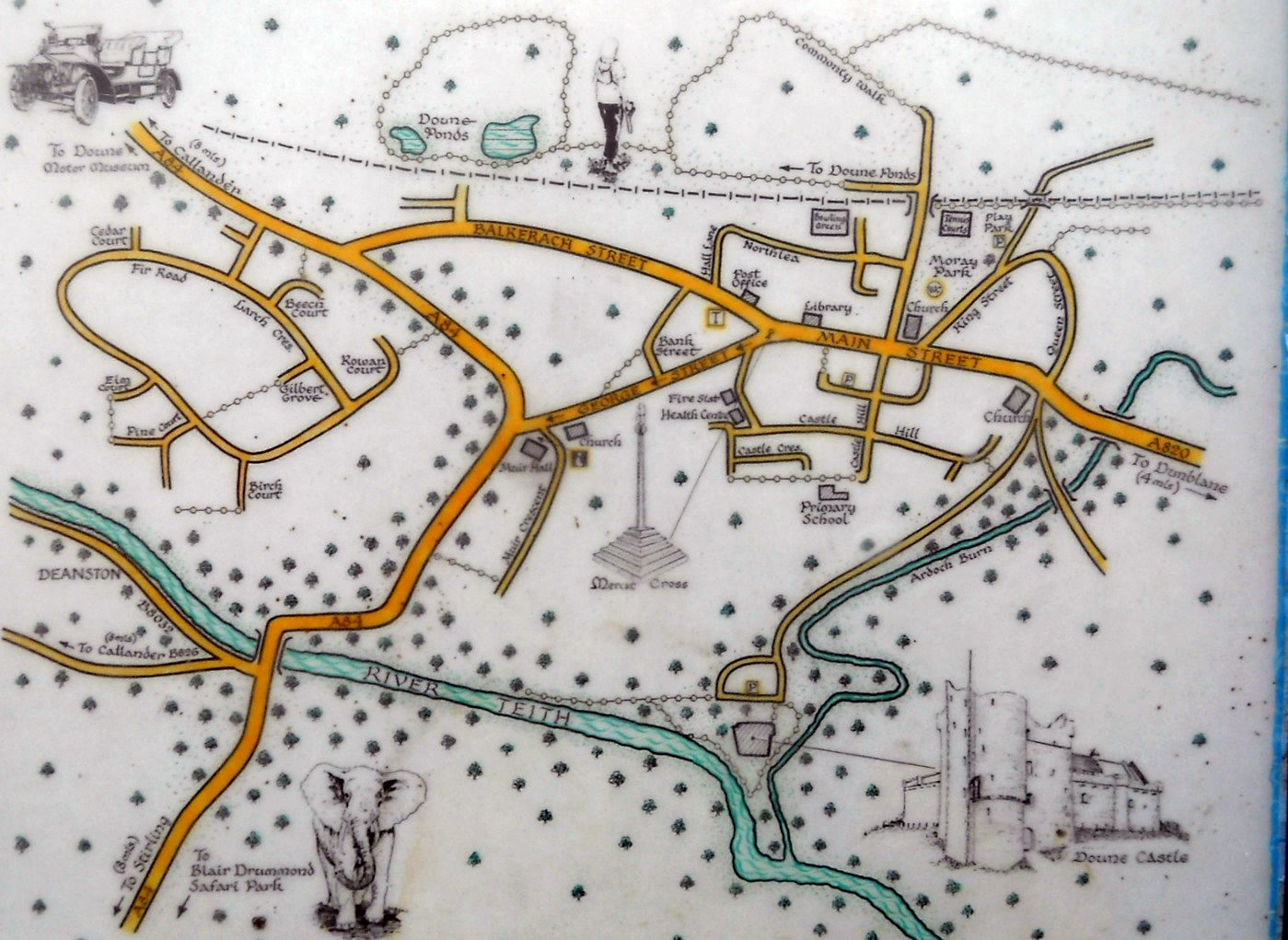
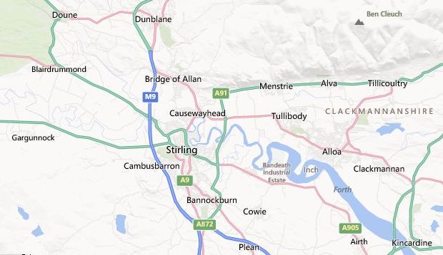


House in Ramoyle in Dunblane

House in Ramoyle

 in Dunblane


Path from Ramoyle

Path from Ramoyle 


The A9 on outskirts of Dunblane

The A9

on outskirts of Dunblane


Gargunnock Hills


Footbridge over railway line to Ashfield village

Footbridge over railway line

 to Ashfield village


Terraced houses in Ashfield village

Terraced houses

 in Ashfield village


Railway line at Ashfield village

Railway line

 at Ashfield village


Allan Water near Ashfield village

Allan Water

near Ashfield village


House in Kinbuck Village

House in Kinbuck Village


Allan Water at Kinbuck Village

Allan Water

at Kinbuck Village


Kinbuck Bridge over the Allan Water

Kinbuck Bridge over the Allan Water 

This is a category "B" listed structure


Waterside Farm on route to Dunblane

Waterside Farm

on route to Dunblane 


Ochil Hills beyond the Allan Water

Ochil Hills

beyond the Allan Water 


Allan Water at Dunblane

Allan Water

at Dunblane


Bridge over the Allan Water in Dunblane

Bridge over the Allan Water

 in Dunblane


Route Map of Dunblane Circuit

Route Map for Circuit around Dunblane


DUNBLANE CIRCUIT - ROUTE DESCRIPTION

Location: Stirlingshire
Map: OS Landranger 57 or free Dunblane path leaflet available locally
Distance: 5.5 miles / 9km
Time: 2-3 hours
Terrain: Easy low-level walk


This easy walk links Dunblane with two attractive villages and provides an opportunity to visit a wonderful historic church. 
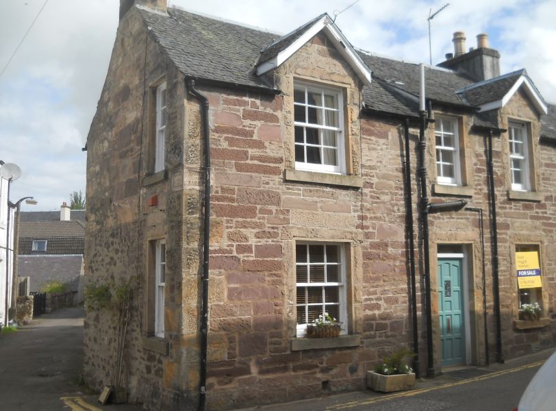
Ramoyle was once the main route into Dunblane from the north. This was a settlement of handloom weavers. and some of the houses date back to the 18th century. Before long you will see the Braes of Doune windfarm. Crossing the large field which leads towards Ashfield is not difficult but the path is not continuous, though it steadily improves as it heads towards the railway line. Wherever you reach the fence, walk along by 
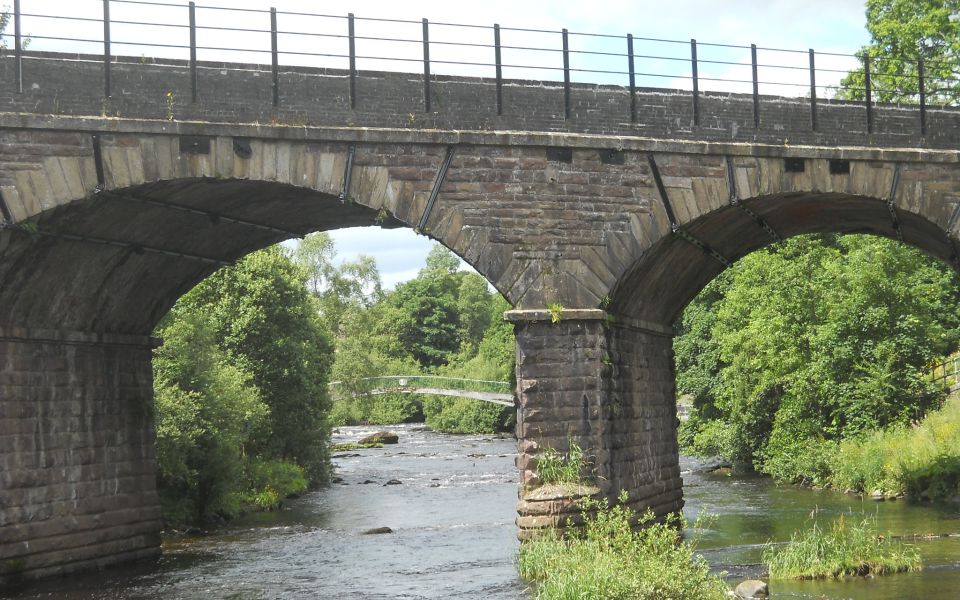
it until you reach the bridge over the railway. If you arrive there by a slightly different route, it doesn’t matter. 
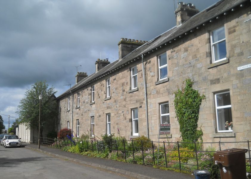
Ashfield is another former weaving settlement with attractive rows of former weavers’ cottages, beside the railway with the Allan Water on your left. The section between the villages of Ashfield and Kinbuck is liable to flood, so an alternative route is suggested 
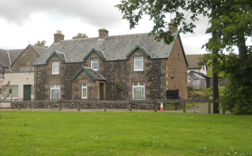
in the route directions. Kinbuck is another attractive village, and the road winds along beside the Allan Water round several bends to reach Kinbuck Bridge. 
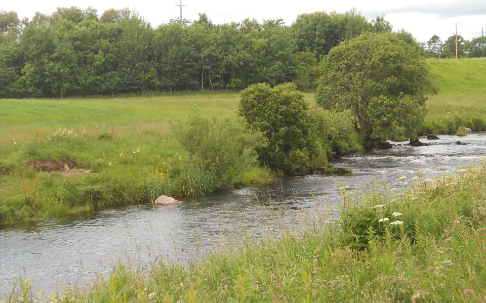
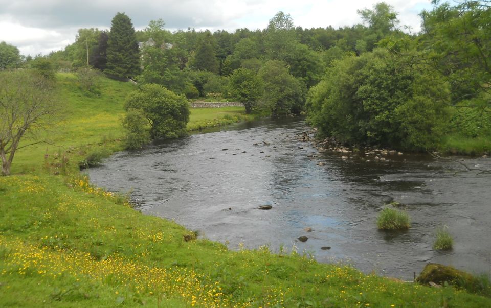
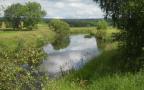
After a road section you go down to cross the Allan Water yet again. The scene here is pretty with trees overhanging the bank. There's even a small beach. You then follow a riverside path back towards Dunblane. 
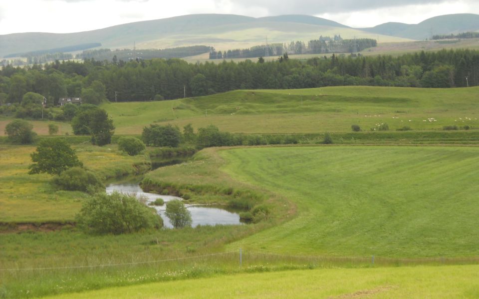
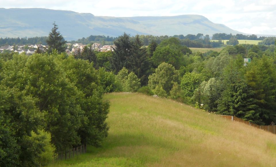
At the top of the rise you get a good view of Gargunnock Crags before reaching the area known as the Laigh ( low ) Hills and heading back, again beside the river, into Dunblane.

Route:

Start from the Haining car park, in Dunblane ( behind the Cathedral, GR2 NN7B2015 ).
Continue uphill into Ramoyle.
At an old stone notice saying Laighhill Loan 1888 TL and go down the path to the Scouring Burn.
TR after crossing the burn and then recross it.
Climb steps and fork left.
Walk through a wood by a wall and reach cemetery access road.
Take path R of cemetery wall.
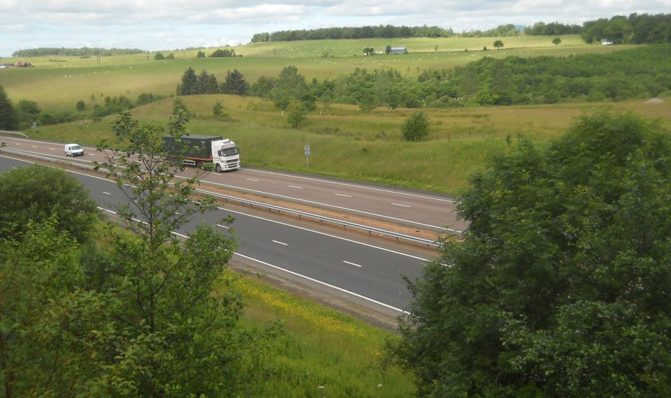
Go L at roundabout to cross A9.
Opposite slip road for Perth go L through gate into large field ( signpost for Ashtield ).
Follow the track inside the gate for about 100m then go half-right aiming towards the windfarm, over a low  rise.
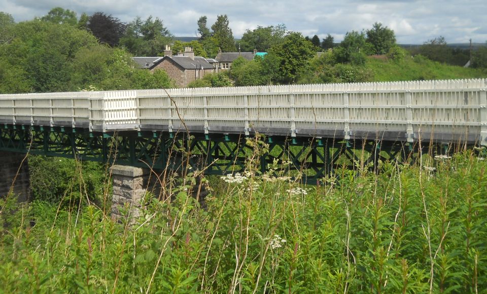
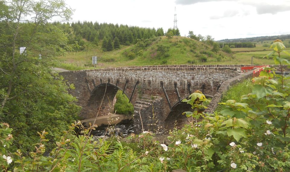
At fence, TR to railway bridge.
Cross and TL into Ashfield.
Pass bus shelter and continue on path, signed for Kinbuck.
At gate, go through and continue along field edges to
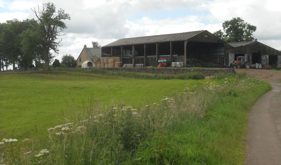
 Craigton farm.
The next section can flood in winter. In this case, use farm access road under the railway and TL on the road into Kinbuck.
If it is dry, continue with the path, eventually climbing onto the road and TL.
Cross Kinbuck Bridge and TL on minor road.
At fork, keep L
Continue tor about 1km past Waterside and Hutchison until, at a sharp R bend, go L through gate down field side.
At far comer, go through small gate and take path down to footbridge over the river.
Cross and go R on a path.
Pass under railway and A9, walk beside new houses then go downhill to railway then L into Laigh Hills.
Take first main path on R ( before houses ) and keep R past tyres in the ground marking a cycle track.
Continue with main path to cross railway.
Turn immediately L and follow path down to play area.
TL to rejoin Allan Water.
Go under railway and keep L up to car park.


Map of Dunblane Circuit

Map of Circuit around Dunblane


Location Map for Dunblane

Location Map for Dunblane 


  Dunblane Circuit Gallery Photo Gallery

<< BackBearsden Walks Index : Next >>


Scotland Index :: Scottish Peaks :: Scotland Walks

Glencoe | Ben Nevis | Knoydart | Isle of Skye | Isle of Arran

The Eastern Highlands | The Central Highlands | The Southern Highlands | The NW Highlands


Adventure Travel : Worldwide Mountaineering : Site Index

fb icon  google+ icon  Linkedin icon  twitter


Guide Books & Maps - Scotland:-


West Highland Way: Footprint MapWest Highland Way - Map West Highland Way - Map Western Scotland & the Western Isles OS Road Map Northern Scotland OS Road MapSouthern Scotland OS Road MapGlasgow Popular Hills - Map


  Ochils and Campsie Fells  Loch Lomond & Trossachs - 25 Walks  Loch Lomond & Trossachs NP - Vol 1 - West  Loch Lomond & Trossachs NP - Vol 2 - East  Scottish Hill Tracks  Central & Southern Scotland - Backpackers Britain  Walking Loch Lomond and the Trossachs The Corbetts - SMC 
 

Glasgow Visitor Guide - Colin Baxter Itchy Insider's Guide to Glasgow Glasgow Footprint Pocket Guide Glasgow Insight Pocket Guide Glasgow Guide Pub Companion Glasgow Scotland's Highlands & Islands - Rough Guide Scotland - Rough Guide Walking in Scotland - Lonely Planet 

Glasgow Insight Pocket GuideCollins Street Map of GlasgowGlasgow: Then & NowThey belonged to Glasgow Phillips Street Atlas of Glasgow & West Central Scotland Glasgow: The Photographic Atlas100 Hillwalks around Glasgow 50 Walks in Glasgow & SW Scotland

Visit Scotland - Touring Guide Scotland: Where to Stay - Hotels & Guest Houses Scotland: Where to Stay - Bed & Breakfast Rough Guide ScotlandScottish Highlands & Islands - Rough Guide Scotland - Lonely PlanetScotland's Highlands & Islands - Lonley Planet Great Glasgow StoriesGlasgow & Surroundings - Insight Guide

West Highland Way: Official GuideWest Highland Way: Rucksac ReadersWest Highland Way: TrailblazerThe West Highland WayWest Highland Way: Footprint MapWest Highland Way - Map West Highland Way - Map West Highland Way Wet Highland Way - Official Guide

Munro Almanac The High Mountains of Britain and Ireland The Munros: Scottish Mountaineering Club The Isle of Skye The Isle of Arran Wilderness Walks Ski Mountaineering in Scotland

More Wilderness Walks 50 Best Routes on Skye and Raasay Skye - W.A.PoucherMagic of the Munros Mountaineering in Scotland and Undiscovered Scotland by W.H.MurrayA Long Walk on the Isle of Skye

Classic Climbs - Central & Southern Highlands The Isle of Arran Lonely Planet, Walking in ScotlandPathfinder Guide: Skye and NW Highlands WalksPathfinder Guide: Fort William and Glen Coe Walks Rambler's Guide: Ben Nevis and Glen Coe50 Best Routes on Skye and Raasay - Chris Townsend


Google Analytics


Google Analytics


extremetracking
 eXTReMe Tracker


extremetracking
Sitelock caingram.com
SiteLock
Sitelock
Sitelock caingram.info
SiteLock
Sitelock