|
Bearsden & DistrictDrymen |
  |
| |
Bearsden & DistrictDrymen |
|
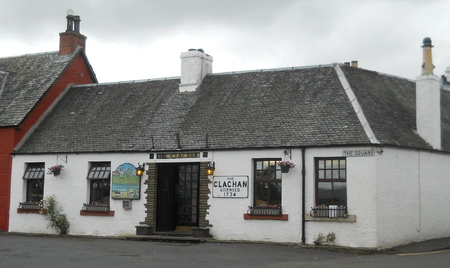 Clachan
Inn ( dating from 1734
) in the village square
of Drymen
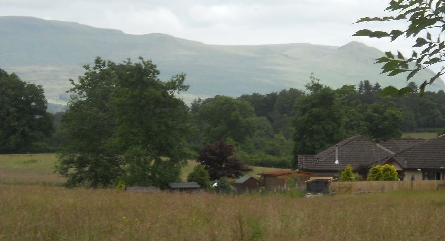
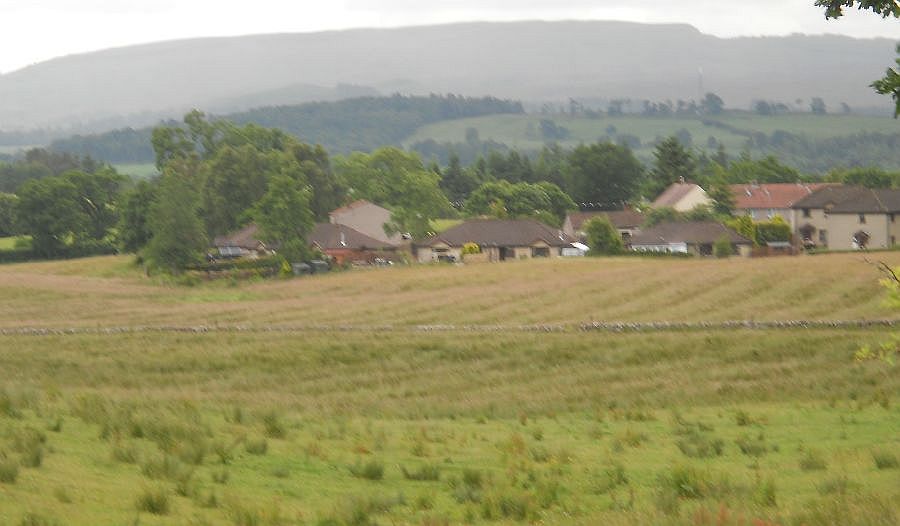
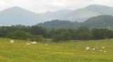
Drymen is at the western end of the Campsie Fells and to the South of Loch Lomond. In the 18th and 19th centuries Drymen was a stopover point for Highland cattle drovers. Drymen is only a short distance off the route of the West Highland Way and within the bounds of the Loch Lomond and Trossachs National Park |
 Drymen
|
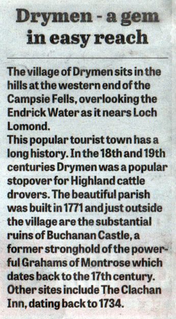
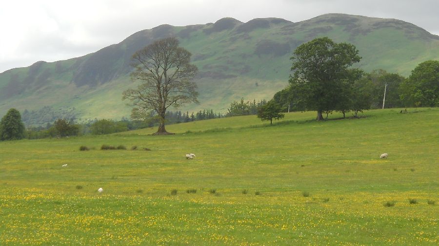
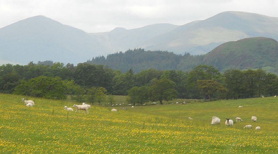
 The Campsie Fells from
Gallowhill Wood
on the outskirts of Drymen |
 |
 |
 |
 |
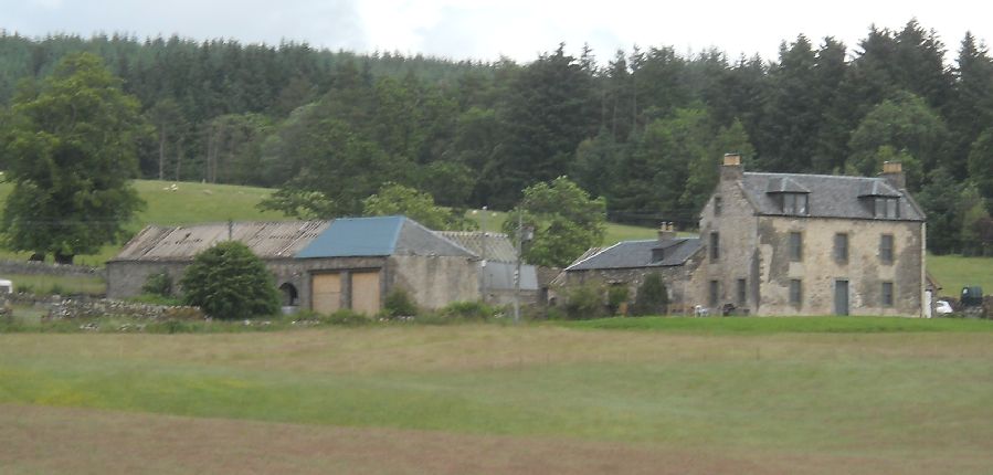 Coldrach
Farm
on the outskirts of Drymen |
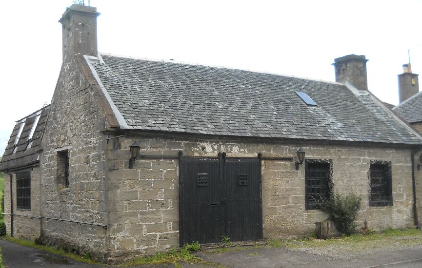 The
Old Buchanan Smithy
on the road from Drymen to Balmaha This was built by the Duke of Montrose in the early 19th century. It initially housed workers on his estate. It also housed the estate's blacksmith's shop, hence the name of the hamlet. |
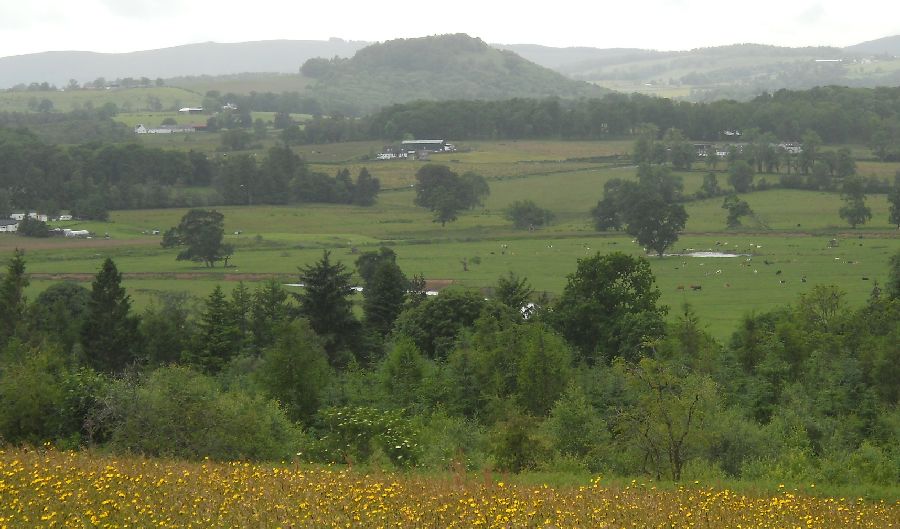 Duncryne
( "The Dumpling " )
from the viewpoint above Drymen |
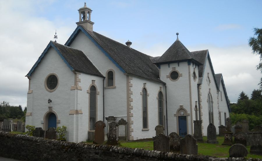 The
Parish Church ( built 1771 )
at Drymen
|
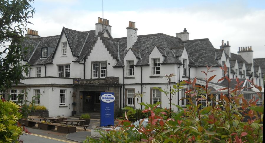 The
Buchanan Arms Hotel at Drymen
The origins go back to the Buchanan of Drumakill, Lairds who owned extensive lands mainly at Drymen, Ross Priory and Gartocharn. Built in 1763 it was an Inn and Farmhouse with the adjoining Farm of Ballanton. About 1860 it was purchased by James 4th Duke of Montrose and leased to a Mr Robe Buchanan followed shortly after by Mr James Buchanan. In 1935 the hotel was sold by Mr David Burnett to a Mr Grant. The Hotel and Buchanan Arms Farm were next owned by Mr Charles Guy - his brothers, Albert and Arthur, thereafter took over control at Buchanan Arms Hotel. The Guys sold to Scottish Highland Hotels and, since 2013, the hotel has been under the ownership of Nordfield Properties Ltd. |
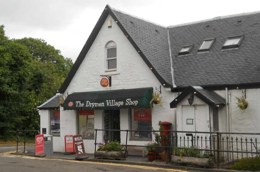 The
village shop in Drymen
|
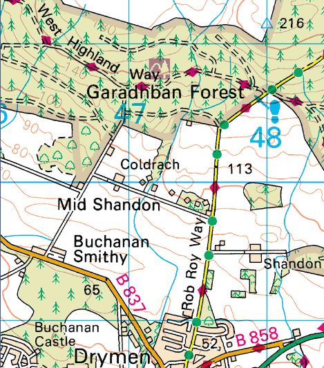
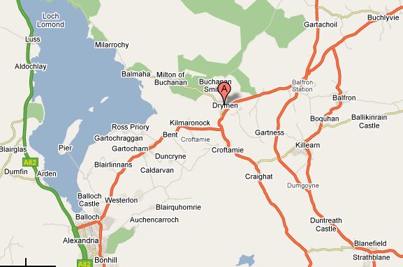 Map of
Drymen Area
|
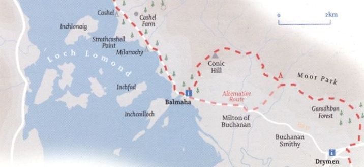
 Map of the
Drymen Walk Area
|
 |
 |
 |
DRYMEN CIRCULAR WALK - ROUTE DESCRIPTION:
 :: Campsie
Fells
:: Campsie
Fells 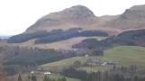 :: West Highland
Way
:: West Highland
Way 
Glencoe | Ben Nevis | Knoydart | Isle of Skye | Isle of Arran
The Eastern Highlands | The Central Highlands | The Southern Highlands | The NW Highlands