|
City of Glasgow Dams to Darnley Country
Park
|
|
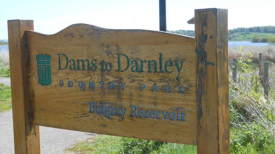
 Signpost
at entry to the Dams to Darnley Country Park
Darnley Mill forms the northern part of the extensive park. The park is sited in the greenspace separating Barrhead, Darnley and Newton Mearns. A mixture of landscapes is offered - open water, wetlands, woodland, scrub and grassland. There is a network of pathways suitable for walkers, cyclists and horse-riders. |
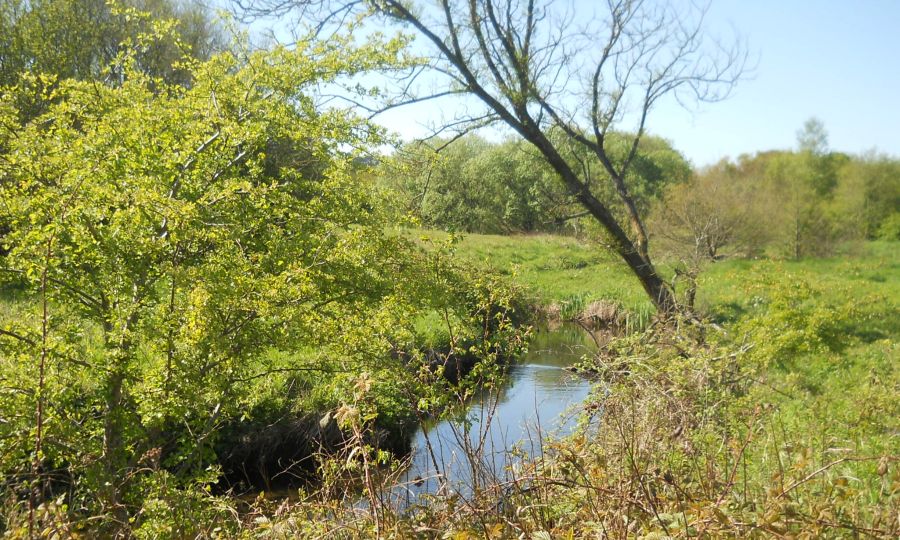 Brock Burn
in the
Darnley Mill area
of Dams to Darnley Country Park |
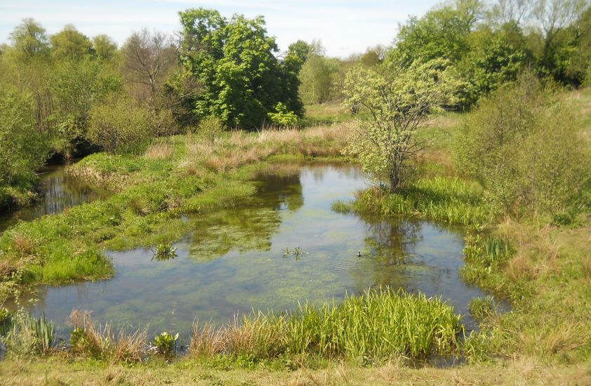 Pond
in Dams to Darnley Country Park
|
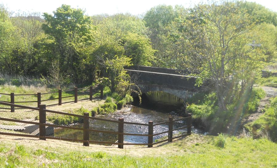 Bridge
over stream
in Dams to Darnley Country Park |
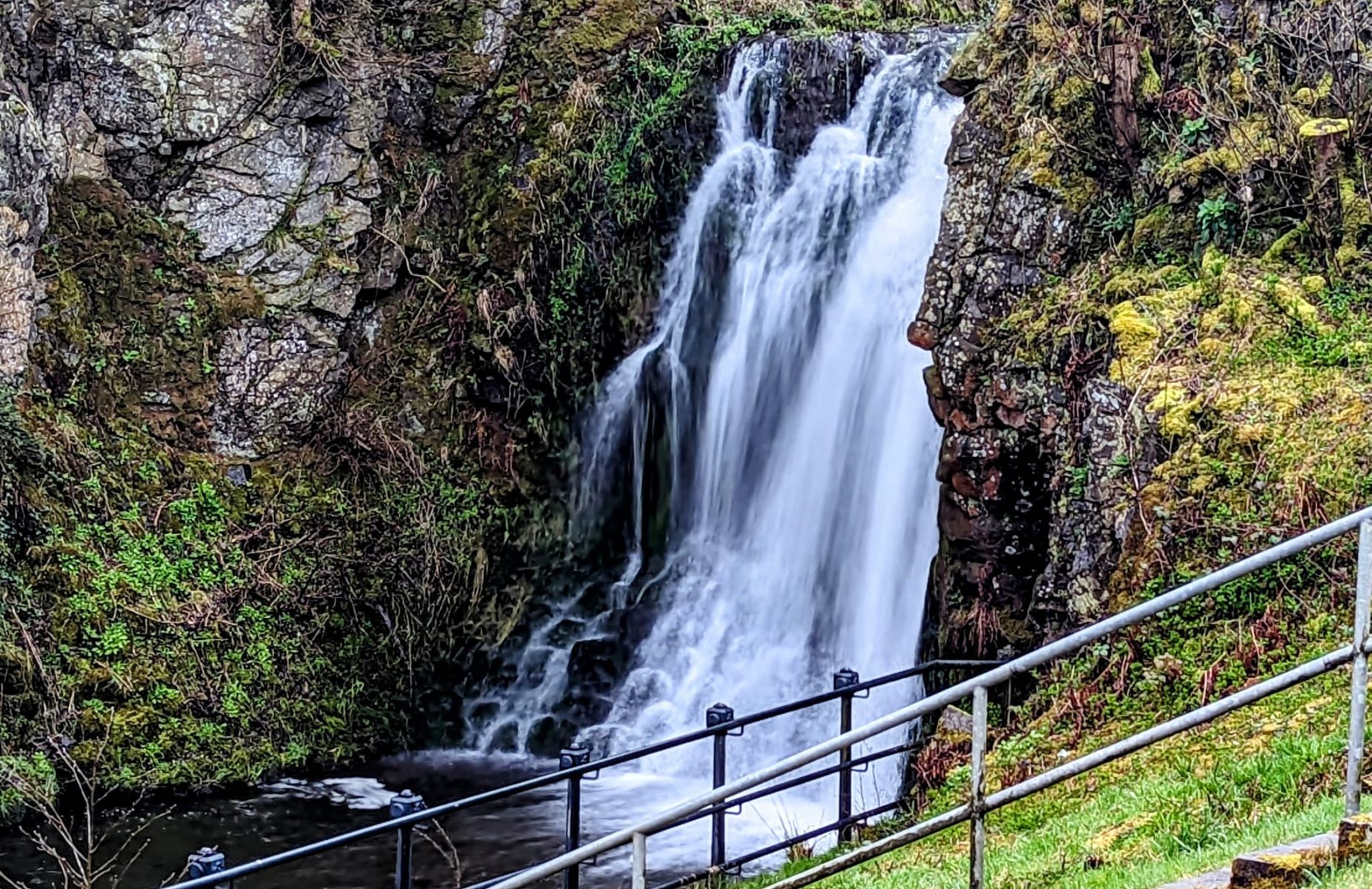
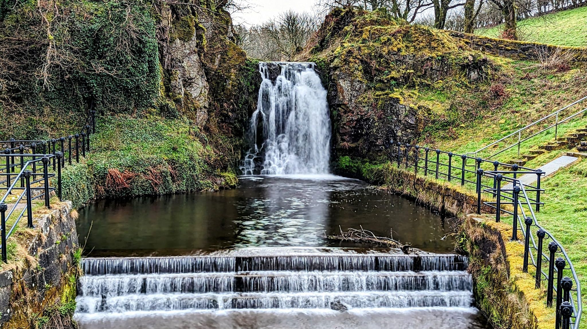 Waterfall
in Dams to Darnley Country Park |
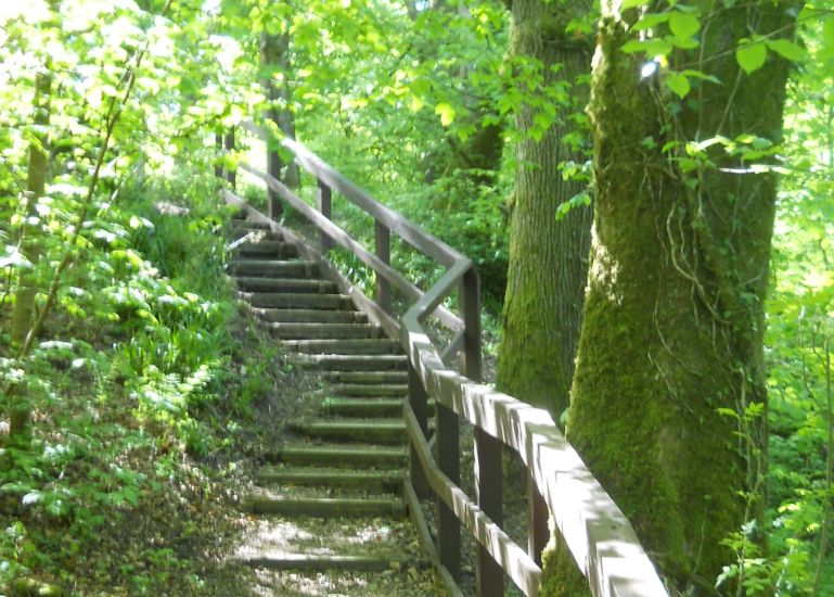 Walkway
in Dams to Darnley Country Park |
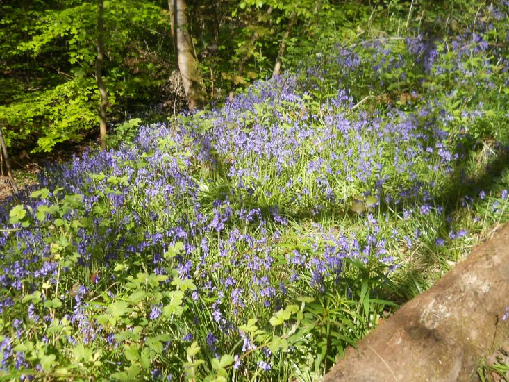 Bluebells
in Dams to Darnley Country Park |
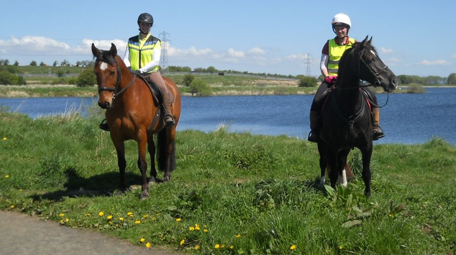
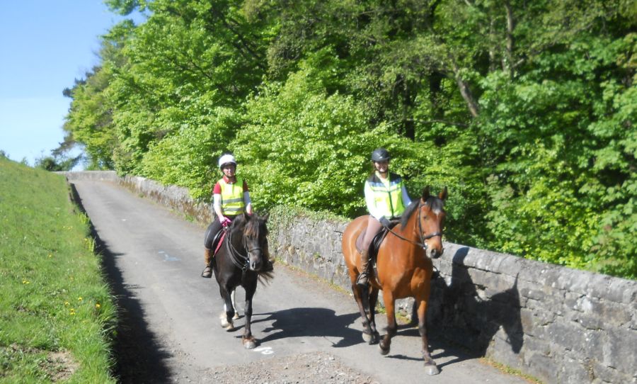 Horse-riders
in Dams to Darnley Country Park |
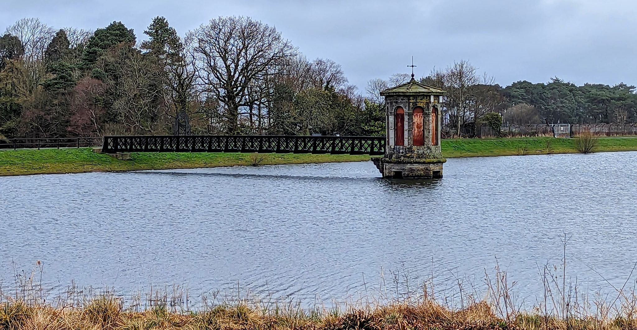
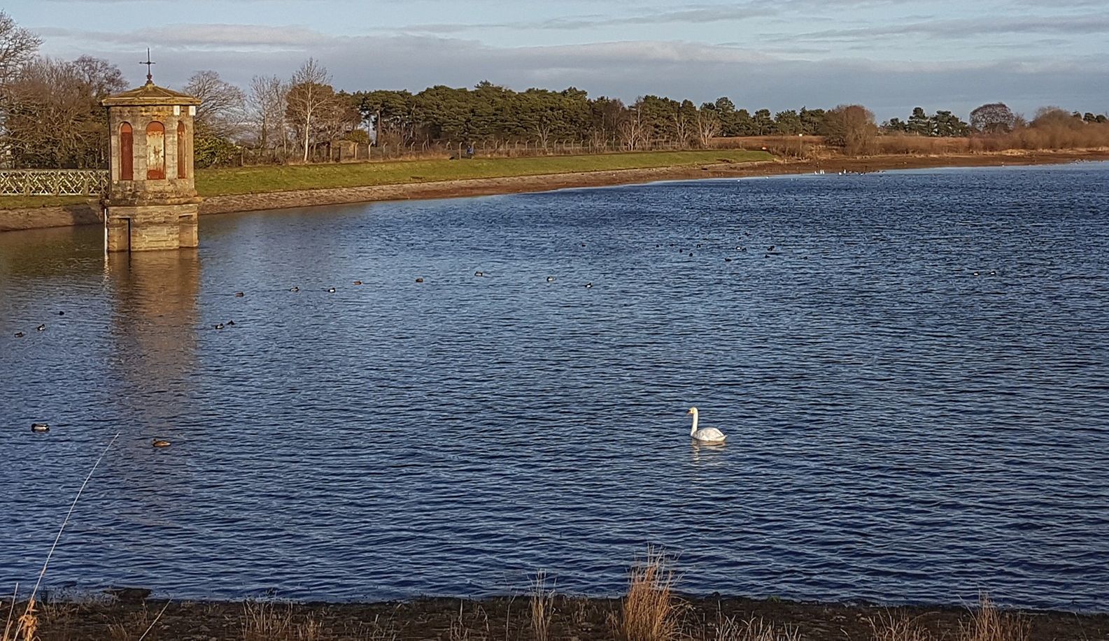
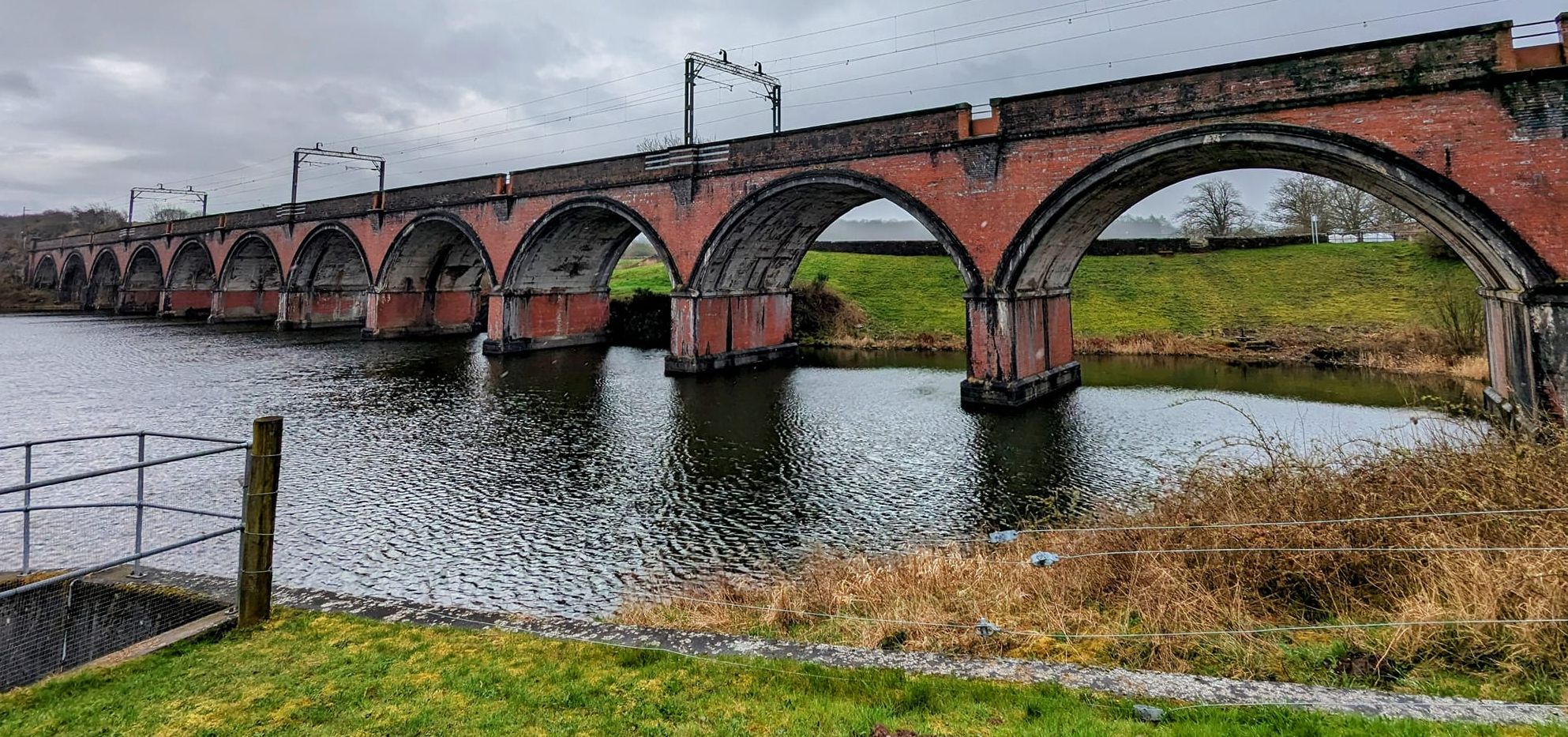
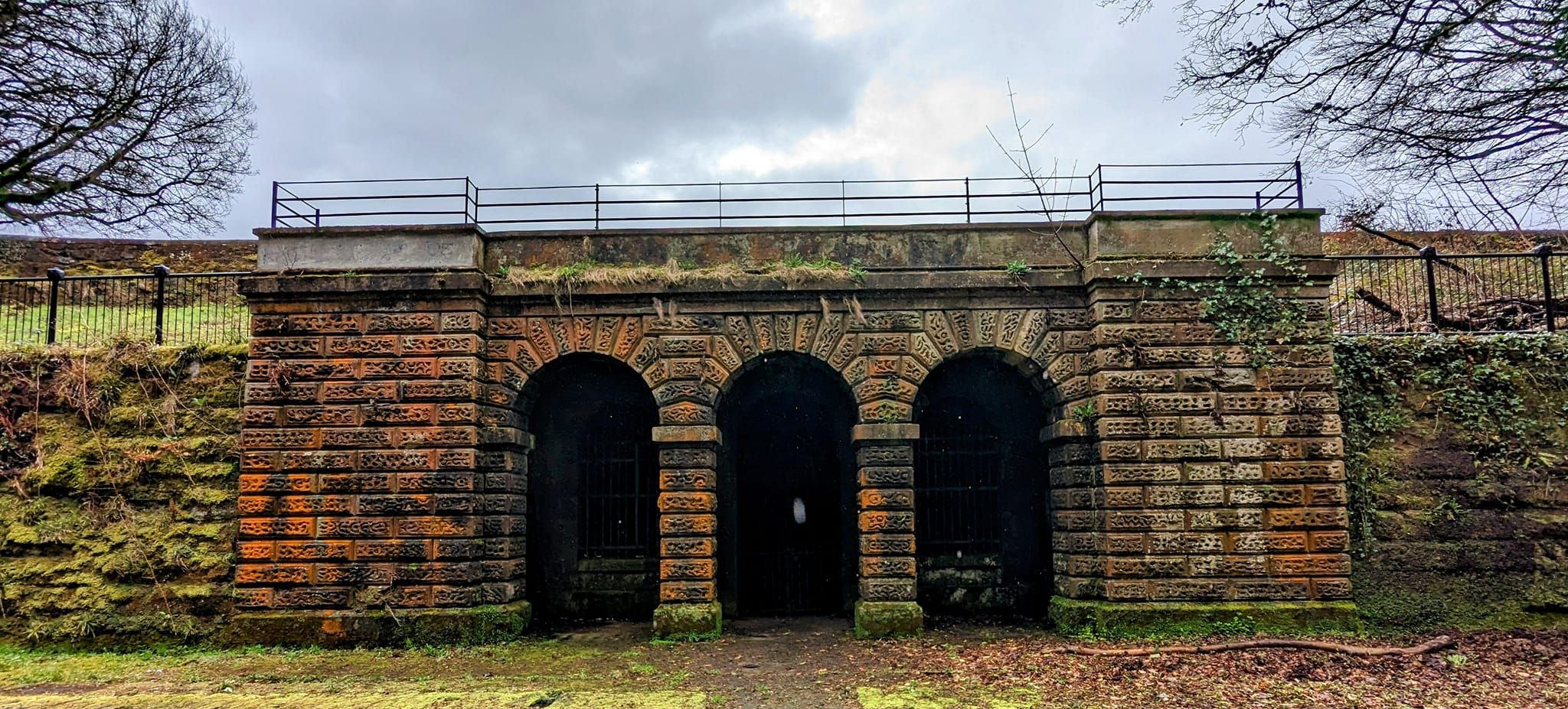
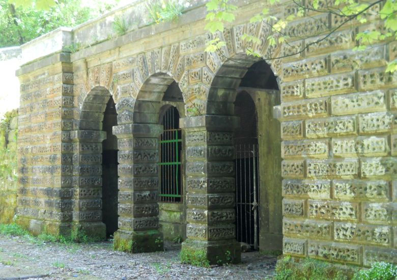
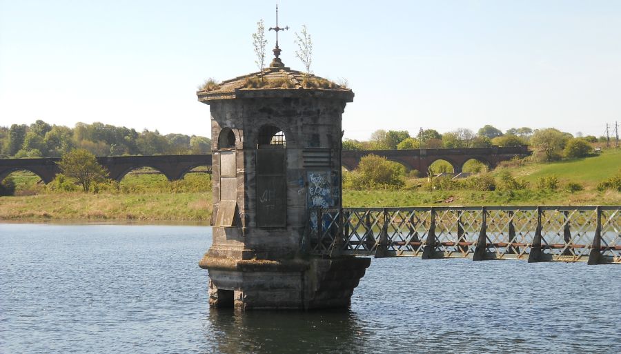 Waulkmill
Glen Reservoir - Drawing Off Tower
- dates from 1847-8 is a Category "A" Listed Building The Waulkmill Glen reservoir was built in 1847 followed closely by the Ryat Linn reservoir one year later . They were built to supply the Gorbals in Glasgow with clean water by the GGWC ( Gorbals Gravitation Water Company ) The structure in the reservoir is a draw-off tower which controls the water flow and allows the reservoir to be drained if necessary. The reservoirs are now part of the Dams to Darnley Country Park |
 |
 Waulkmill
Glen Reservoir
|
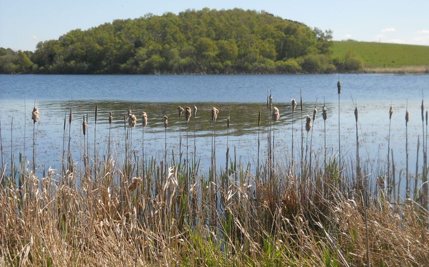 Bulrushes
at Waulkmill Glen Reservoir |
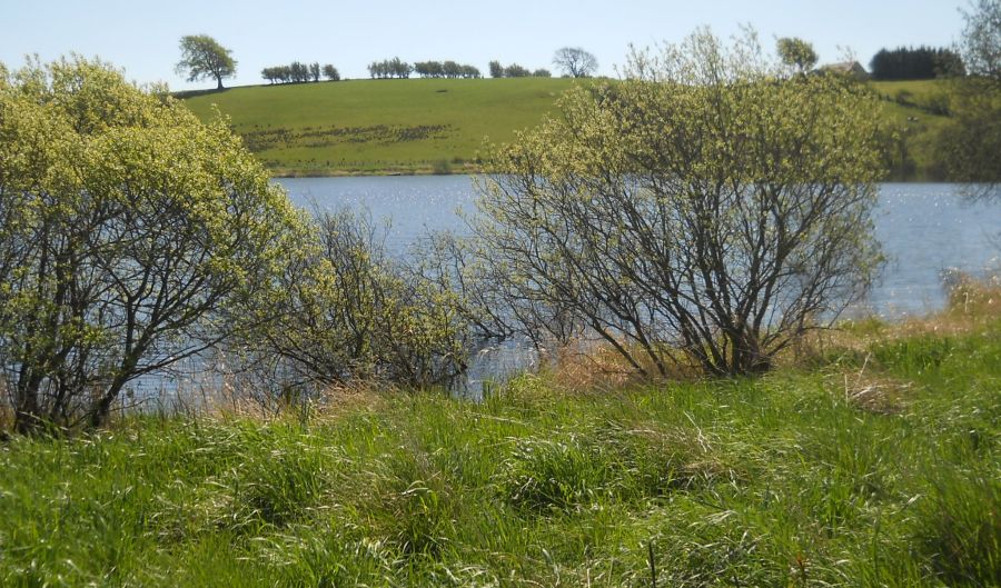
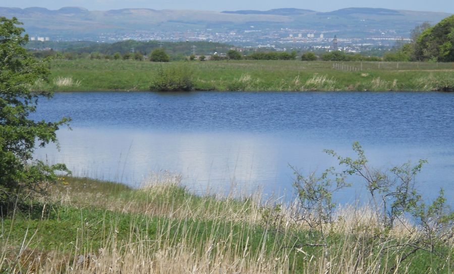 Campsie Fells
from Littleton Reservoir |
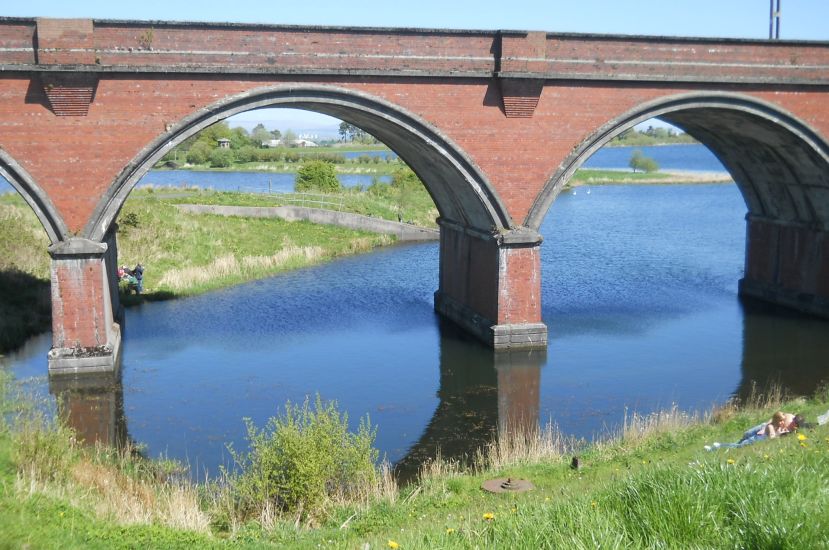 Railway
Viaduct
at Waulkmill Glen Reservoir |
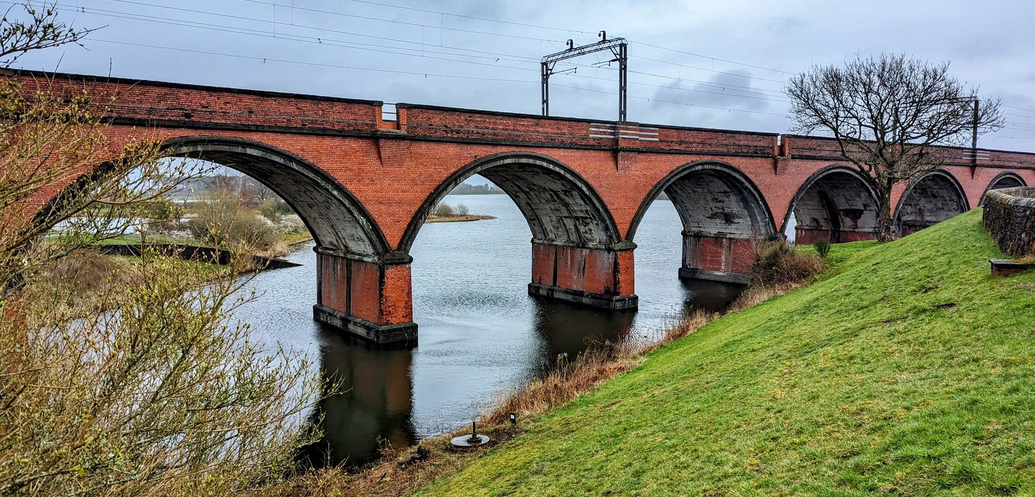 Railway
Viaduct
at Waulkmill Glen Reservoir |
 Railway
Viaduct
at Waulkmill Glen Reservoir |
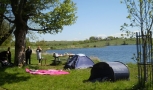
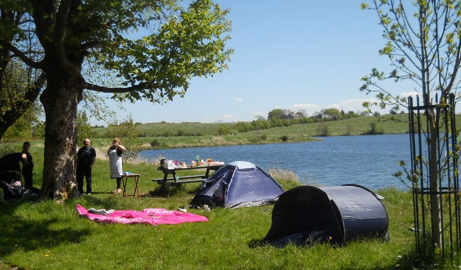 Campers
at Ryat Linn Reservoir
|
 Balgray
Reservoir
The Gorbals Gravitation Water Company was set up in 1846 to supply water to areas south of the Clyde. In 1855 the council acquired the business. The works drew on water from the Brock Burn to feed the Balgray, Ryat Linn, Waulkmill Glen and Littleton Reservoirs. |
 Dams to Darnley Country Park
|
 Signpost
at Balgray Reservoir
in Dams to Darnley Country Park |
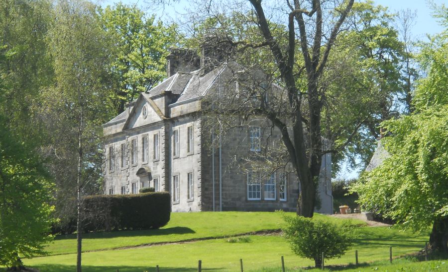 Balgray Country House
a Georgian Mansion adjacent to Balgray Reservoir and Dams to Darnley Country Park |
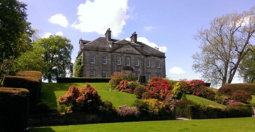 Balgray Country
House
adjacent to Balgray Reservoir and Dams to Darnley Country Park |
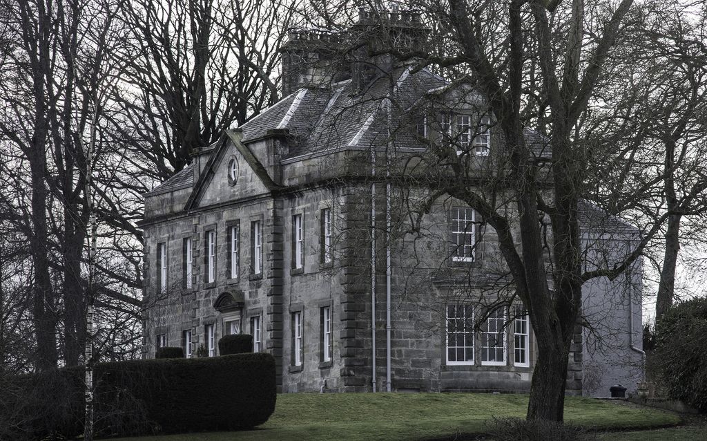 Balgray Country
House
adjacent to Balgray Reservoir and Dams to Darnley Country Park |
 Dams to Darnley Country Park
|
 Dams to Darnley Country Park
|
 Dams to Darnley Country Park
|
Dams to Darnley Country Park
|
 Dams to Darnley Country Park
|
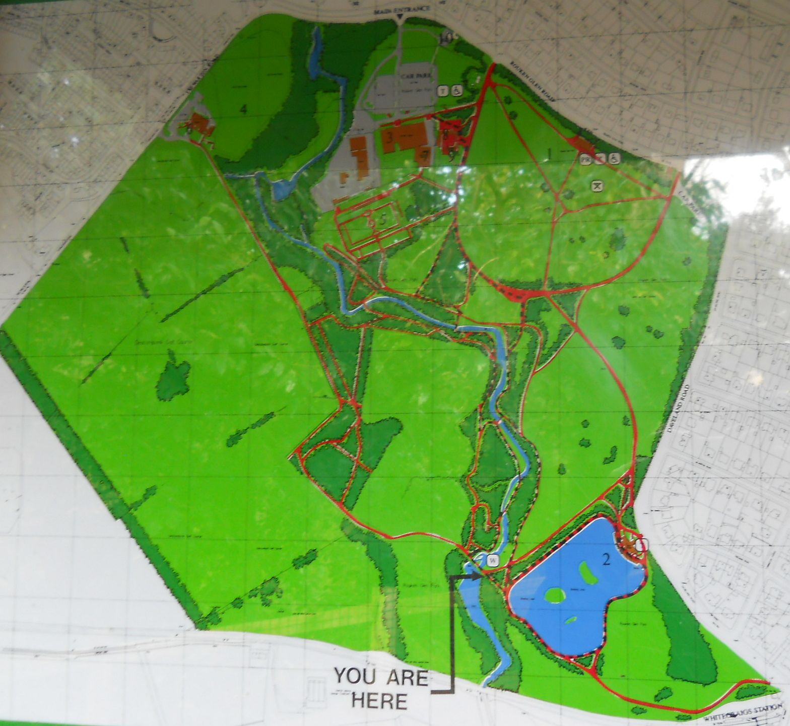
 Map of
Dams
to Darnley Country Park
|
 Route Map of
Dams
to Darnley Country Park
|
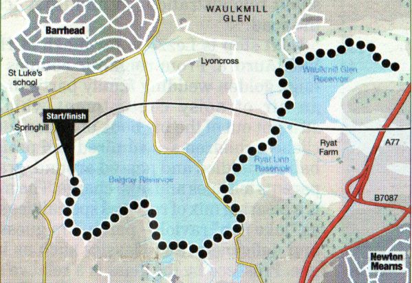
DAMS TO DARNLEY - ROUTE DESCRIPTION:
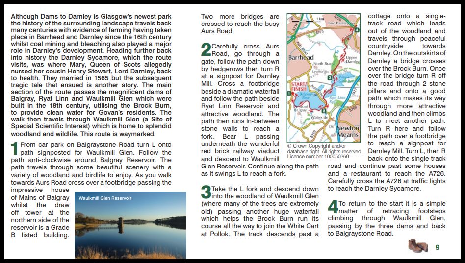 Route Description
and Map of
Dams
to Darnley Country Park
|
 Route Map of
Dams
to Darnley Country Park
|
DAMS T0 DARNLEY - ROUTE 2:
Location: Glasgow
Map: OS Landranger64 ( GR 530 596 )
Distance: 3.75miles ( 6km )
Time 2 hours
Terrain: roads and paths
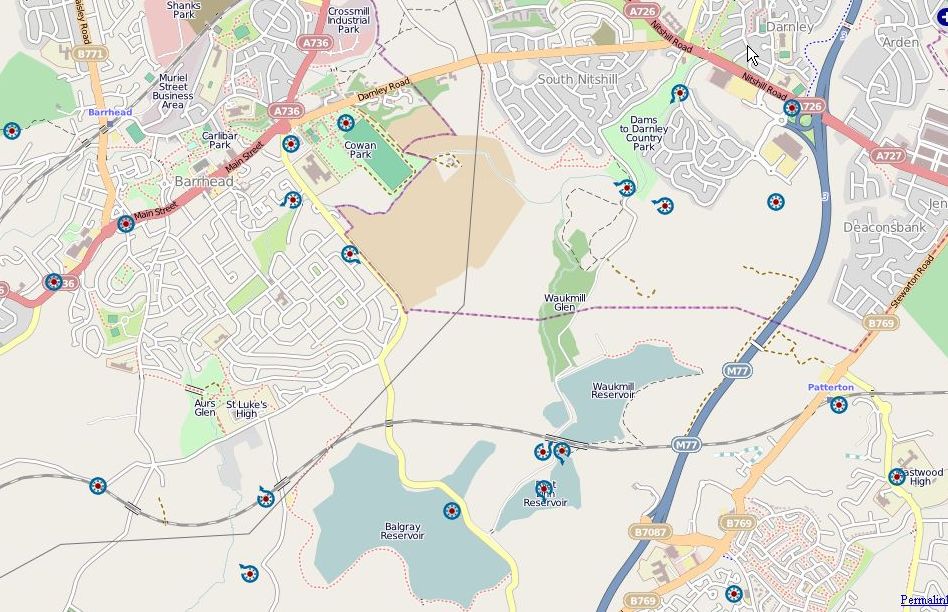
Dams To Darnley on the south side of Glasgow is Scotland’s most recently created country park.
The southern half of it focuses on Waulkmill Glen and the lower reaches of the Brock Burn, providing pleasant countryside walks on the southern edge of
the city easily accessed by public transport or by car.
The network of surfaced paths has been expanded in the last year to include woodland areas where previously there were only rough paths.
A figure-of-eight walk can be made with the chance of an extension up Corselet Road, a dead end with minimal trafiic, to higher ground harbouring the Waulkmill,
Ryatt Lynn and Balgray Reservoirs, and views north to the Campsies.
There is no dedicated car park close to the park entrance on Nitshill Road, but nearby shops and residential areas offer plenty of parking, with Priesthill and Darnley and
Nitshill stations just a short walk away.
From the entrance pass a metal bridge and keep straight on to reach the pond beside the Brock Burn. Its possible to go round either side of the pond via the
pedestrian bridge before exiting left to gain a path running beside the houses.
Follow this to where it exits on to Corselet Road opposite a culvert carrying the burn and go left up a road a short distance to an opening on the right.
Go through and ascend to a surfaced track, keeping right where it divides to follow the track along the edge of the woodland to open grassland.
The surfaced path continues round grassland to beside the Brock Burn which it follows to a set of wooden steps leading up into Waulkmill Glen woodland.
At the highest point of the surfaced path there are options. Either stick to the path as it curves round and starts to fall, or exit to Corselet Road, from where the reservoirs
can be gained. It is also possible to take the rough path through the woodland to join the road higher up, but it’s muddy in the winter and the road offers a cleaner choice.
Turn right and ascend the road until a final zigzag gains the dam wall retaining Waulkmill Glen Reservoir.
Go left and follow the road then path clockwise round the reservoir past the old filter beds to its furthest tip. Retrace your outward route to the surfaced path and
follow it back down to the culvert on the Brock Burn by Corselet Road. Cross the road, gain the path on the left side of the burn and follow it round to where it turns right to the
metal bridge. Either cross over to exit at the entrance to the park, or keep left to gain Corselet Road at the Ashoka at The Mill.
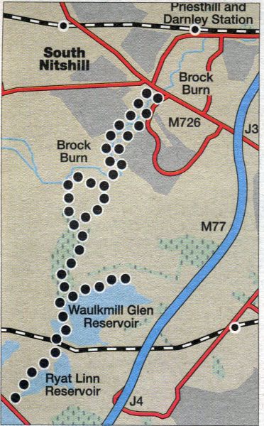
DAMS T0 DARNLEY - CYCLE ROUTE:
Location: Damley, Glasgow
Map: OS Landranger 64
Distance: 2 miles (3.5km)
Time: 30 minutes
Tenain: small hills; traffic-free tracks, quiet road crossing, steps
Ideal for improving learners, this short route meanders through the Dams to Darnley Country Park along newly opened paths, part of the park’s expanding network,
and through woodland filled with birdsong.
Start from the Ashoka At The Mill on Corselet Road, off Nitshill Road, Darnley, where you can park your car for free.
Cycle left and follow signs for Waulkmill Glen Reservoir which lead you upstream by the Brock Burn.
The river was dammed in the mid 19th century by the Gorbals Gravitation Water Company to create the Barrhead dams — a feature of the park to the south.
Prior to that, Darnley became renowned for its bleachfields and chemical works that helped shape the industrial landscape of the west of Scotland and beyond.
Where the path splits, go right to join the quiet Corselet Road and turn left. Look for a path on the right.
From there, cross the bridge ahead before veering left uphill.
Follow this new track then, after some 400 metres, turn right.
A flight of steps descends by hazel trees before the path runs downhill into more open woodland.
At a triangular junction, keep right and pedal on, re-crossing the Brock Burn for the return.
Another option at the park for riders more confident in traffic is to follow Corselet Road for just over 2 miles ( 5km ) to Balgray Reservoir.
Glencoe | Ben Nevis | Knoydart | Isle of Skye | Isle of Arran | The West Highland Way
The Eastern Highlands | The Central Highlands | The Southern Highlands | The NW Highlands