  |
Antonine Wall Croy
Hill to Tollpark
|
  |
| |
Antonine Wall Croy
Hill to Tollpark
|
|
Photographs of the route of the Antonine
Wall
from Croy Hill to Tollpark at Cumbernauld
from Croy |
Kilsyth
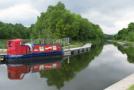
and Auchinstarry Basin from Croy Hill |
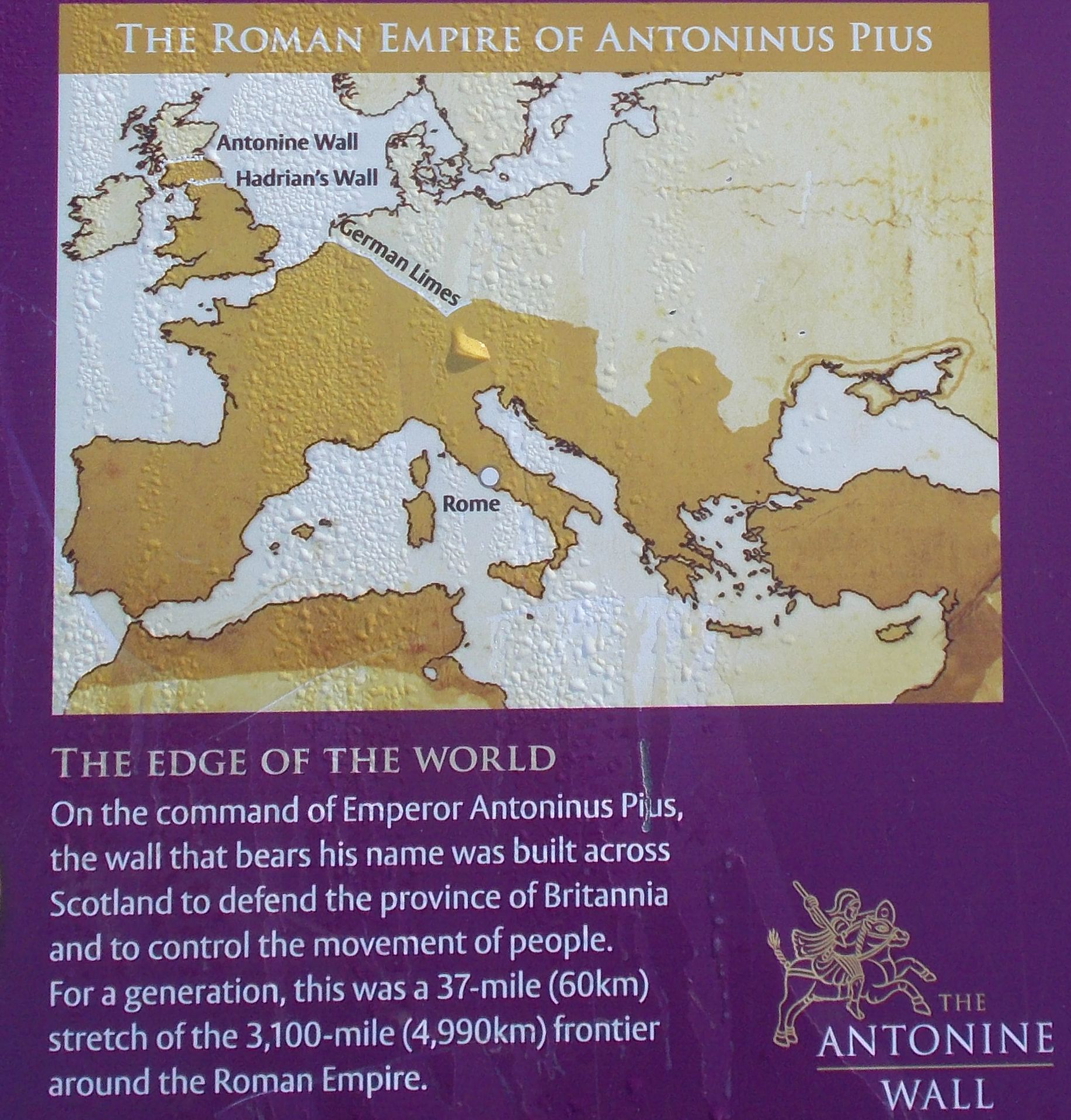
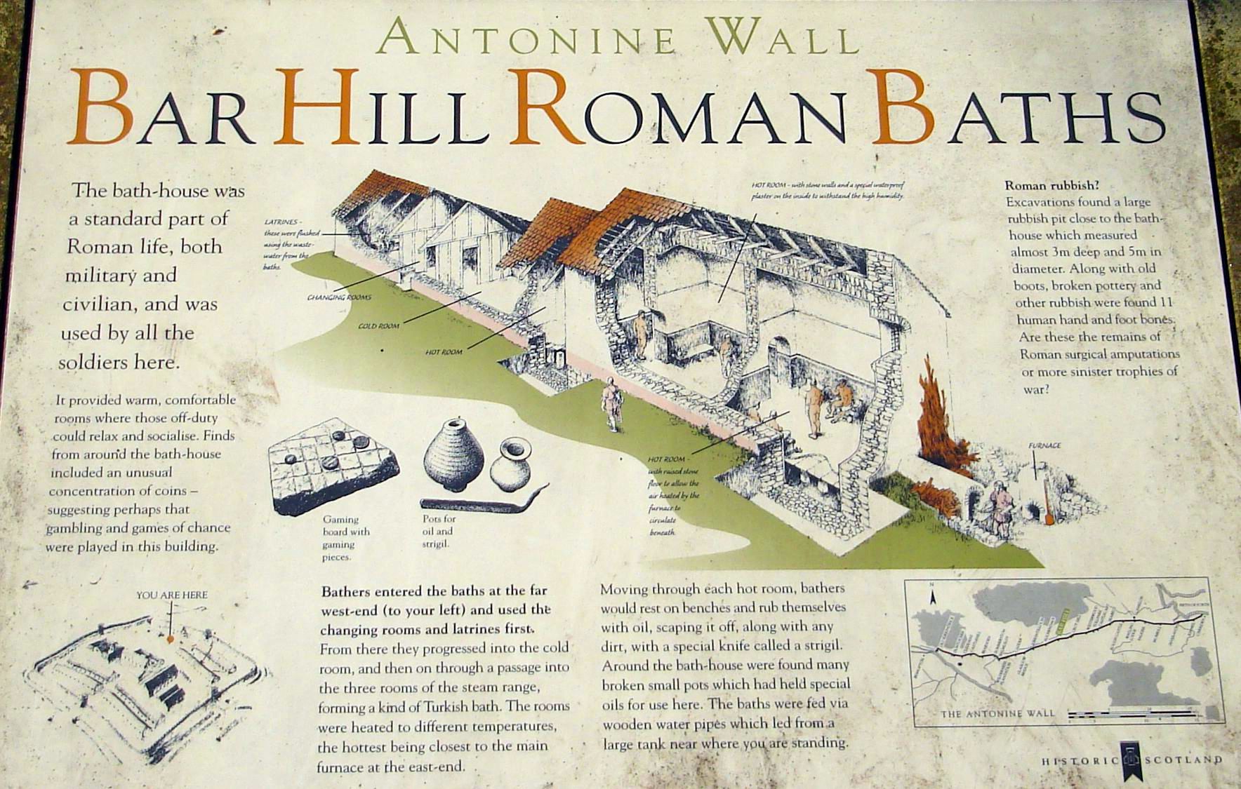
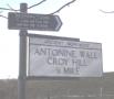
Antonine Wall information board on Croy Hill |
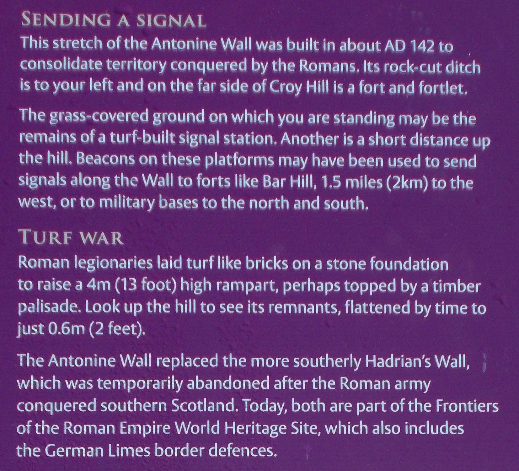
Antonine
Wall information
board on Croy Hill |
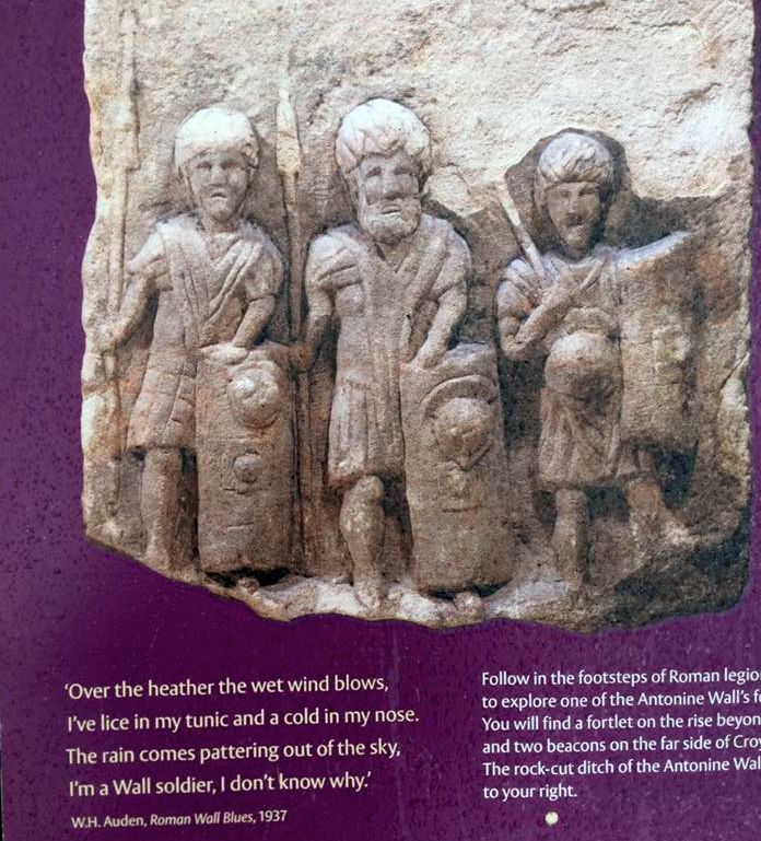
Antonine
Wall information
board on Croy Hill |
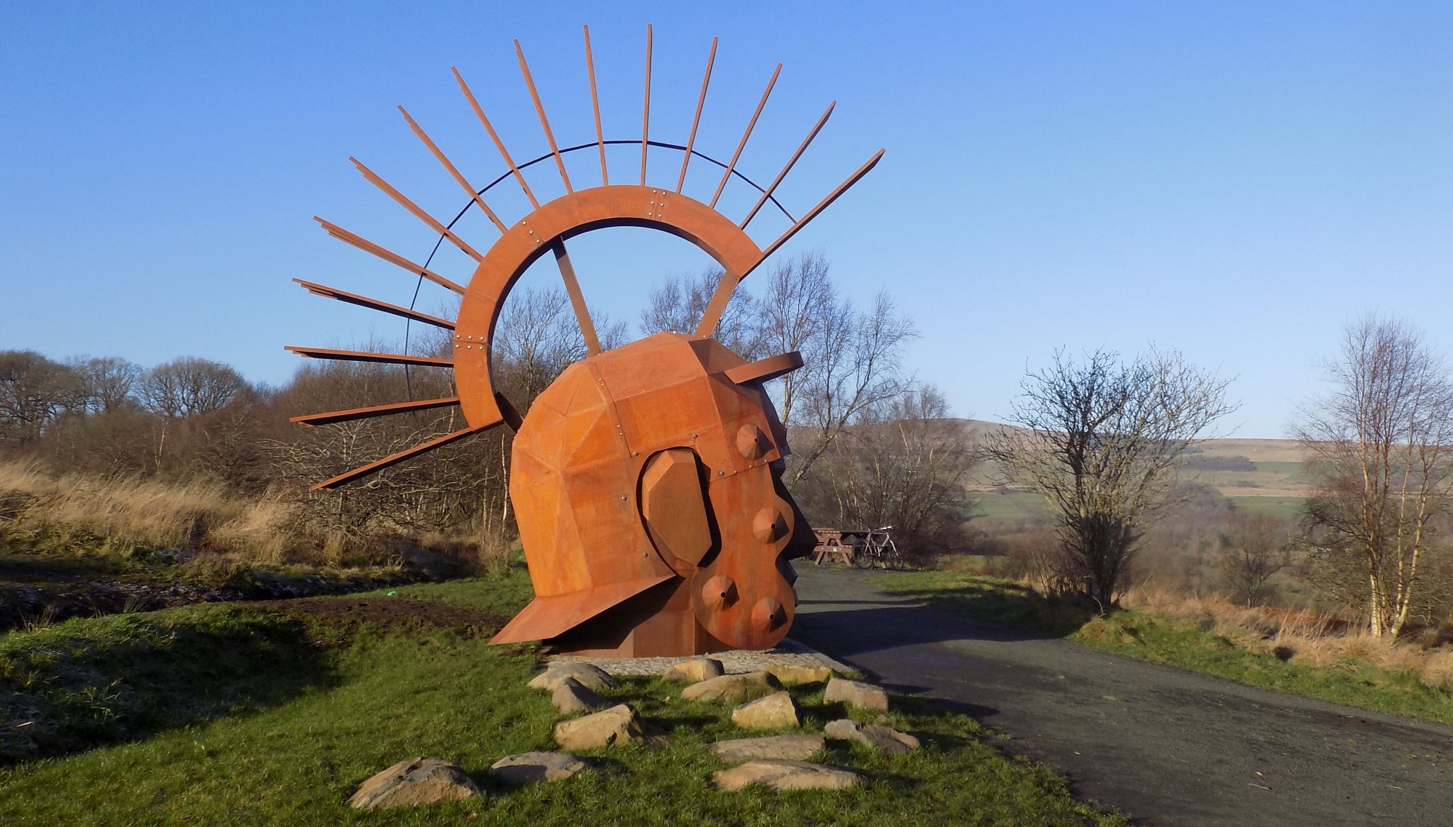
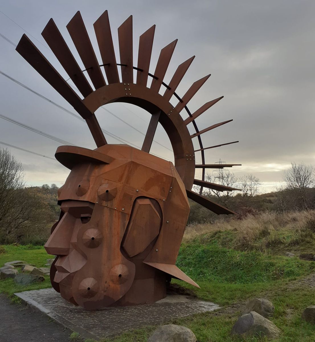 The
seven-metre Roman head sculpture,
named Silvanus - Roman god of the woods, at the Nethercroy site of the Antonine Wall near Kilsyth |
|
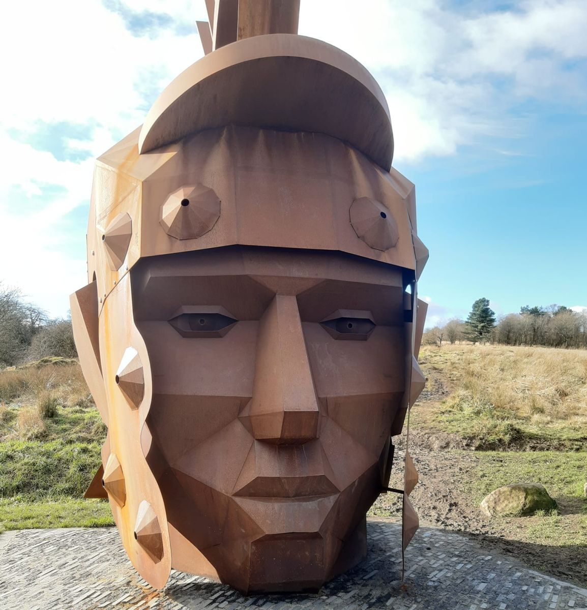
Silvanus
- Roman god of the woods
|
|
Silvanus
- Roman god of the woods
|
from Croy Hill |
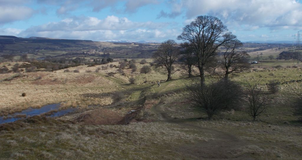
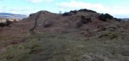
Route
of the Antonine
Wall over Croy Hill |
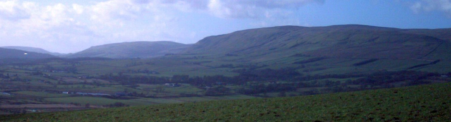
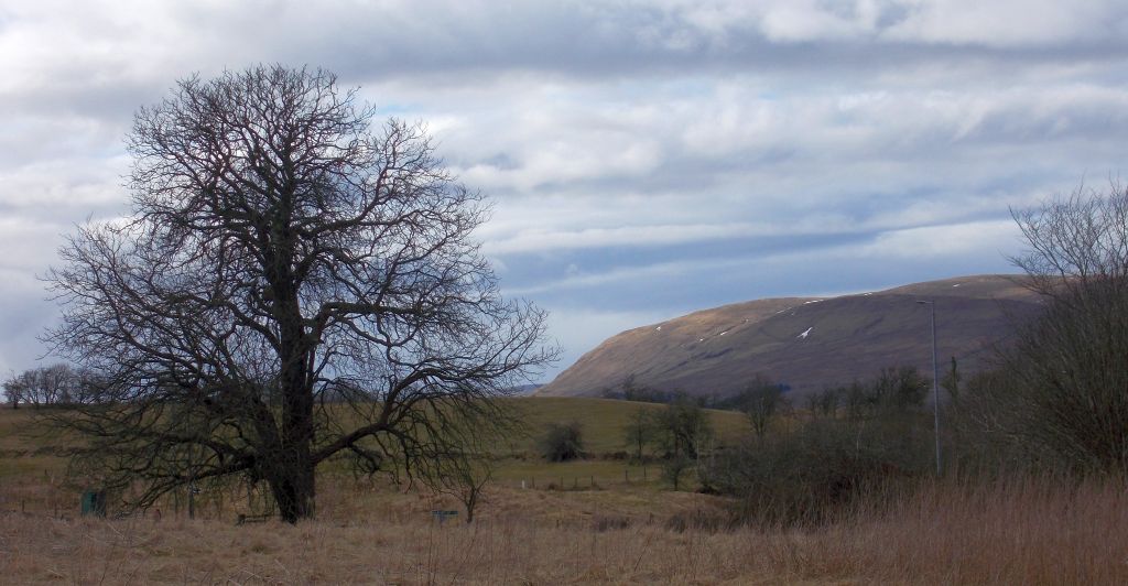
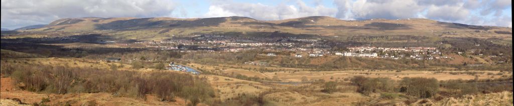
Kilsyth
Hills and Forth
& Clyde Canal from route of the Antonine Wall |
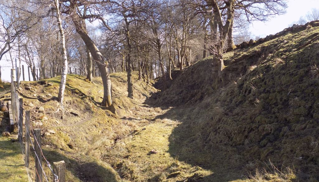
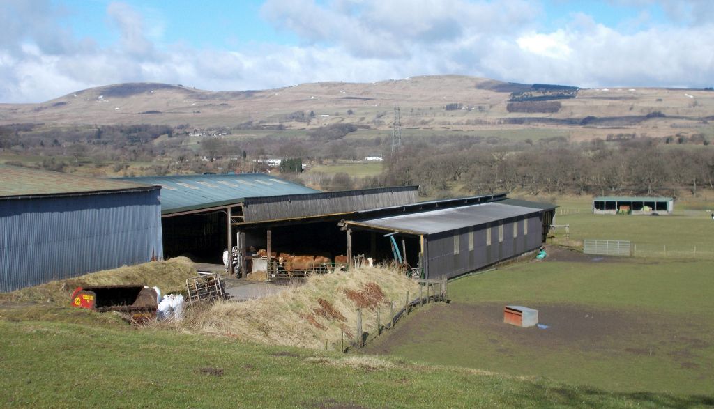
Dullatar Ditch and ramparts of the Antonine Wall |
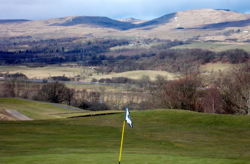
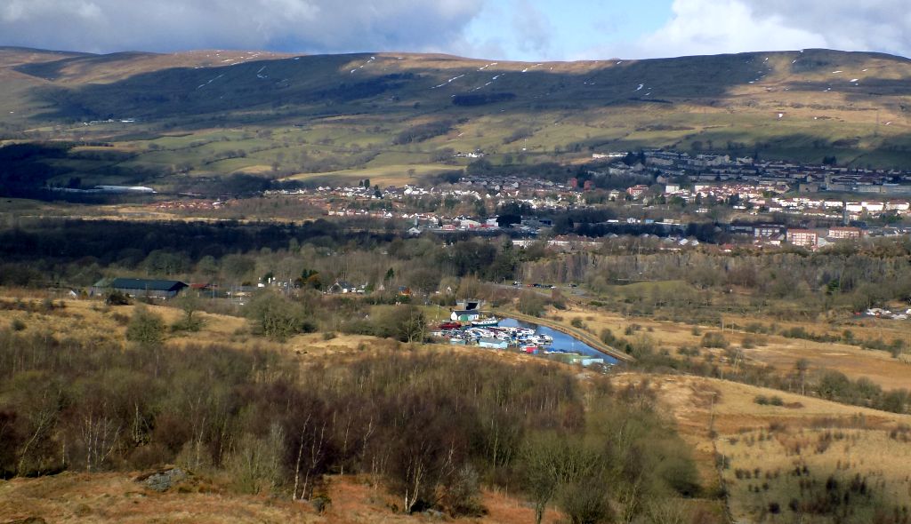
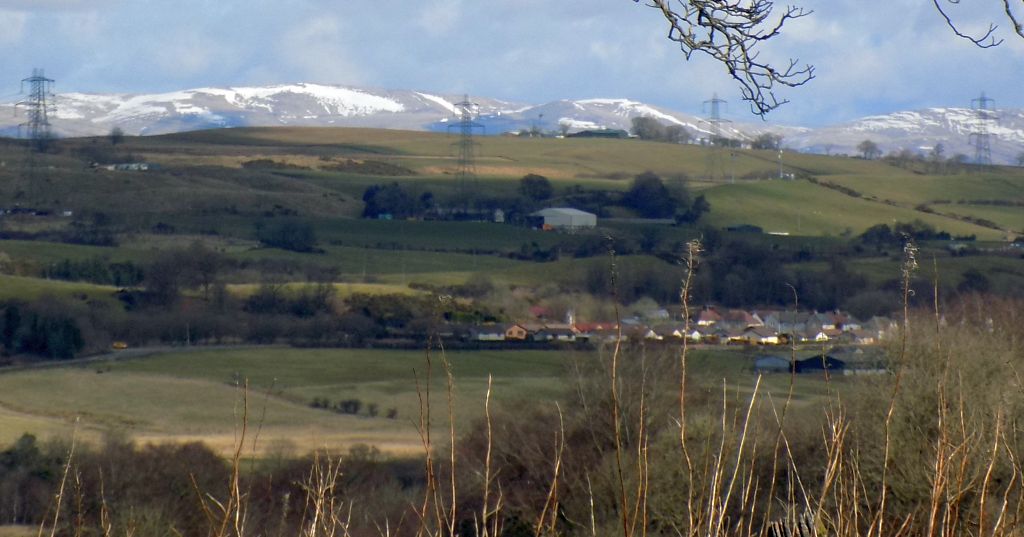
Kilsyth
Hills and Forth
& Clyde Canal from site of Westerwood Fort on the Antonine Wall |
 from route of the Antonine Wall |
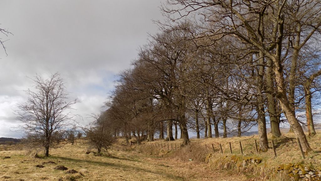
Avenue of trees along route of
the Antonine
Wall at Tollpark |
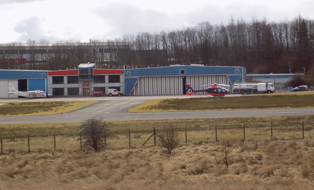
Airport
at Cumbernauld from
route of the Antonine
Wall |
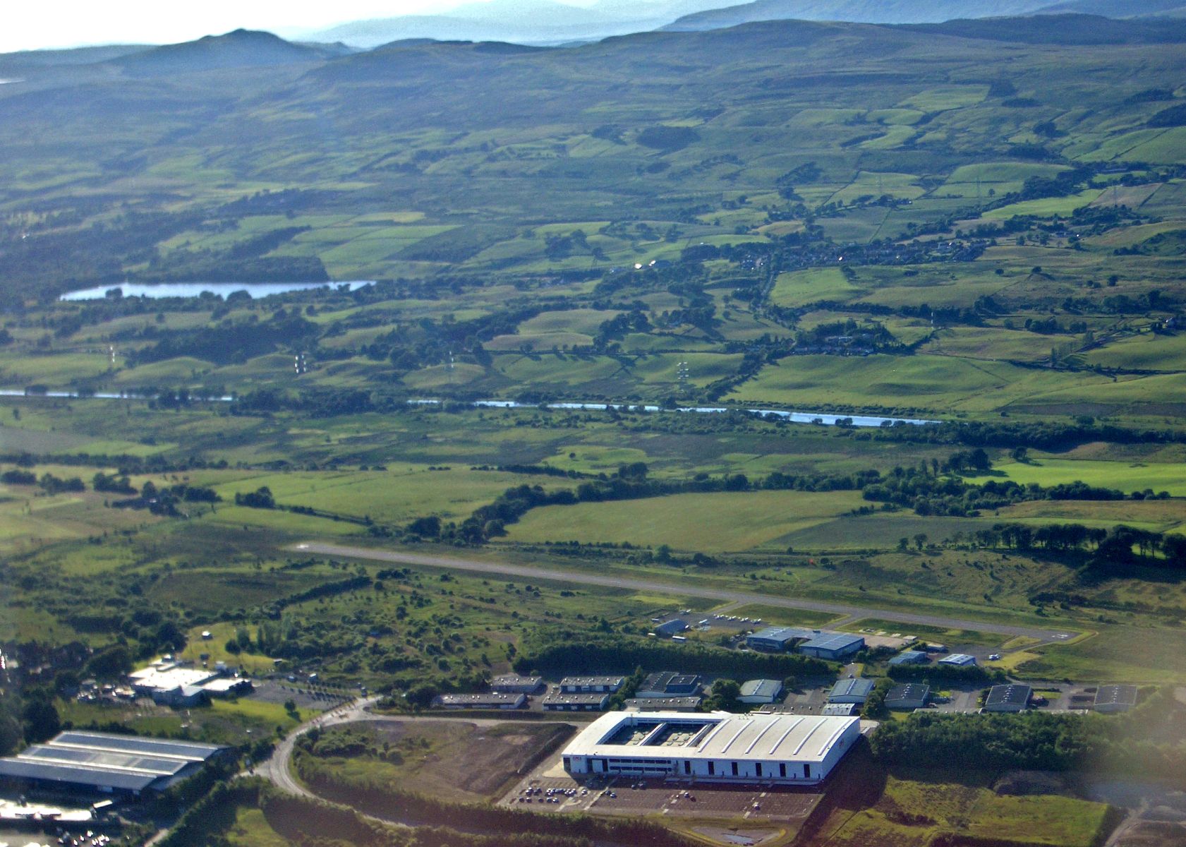
Aerial view of airport at Cumbernauld, and route of the Antonine Wall |
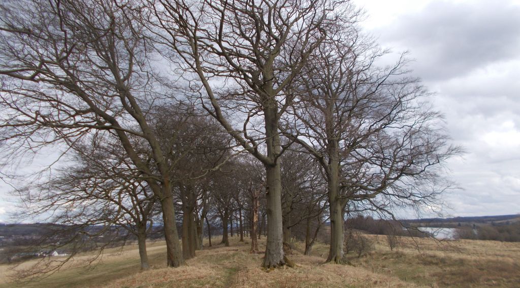
Avenue of trees along
route of
the Antonine
Wall at Tollpark |
 Antonine Wall information board at
Tollpark at Cumbernauld |
|
Antonine Wall information board at
Tollpark at Cumbernauld |
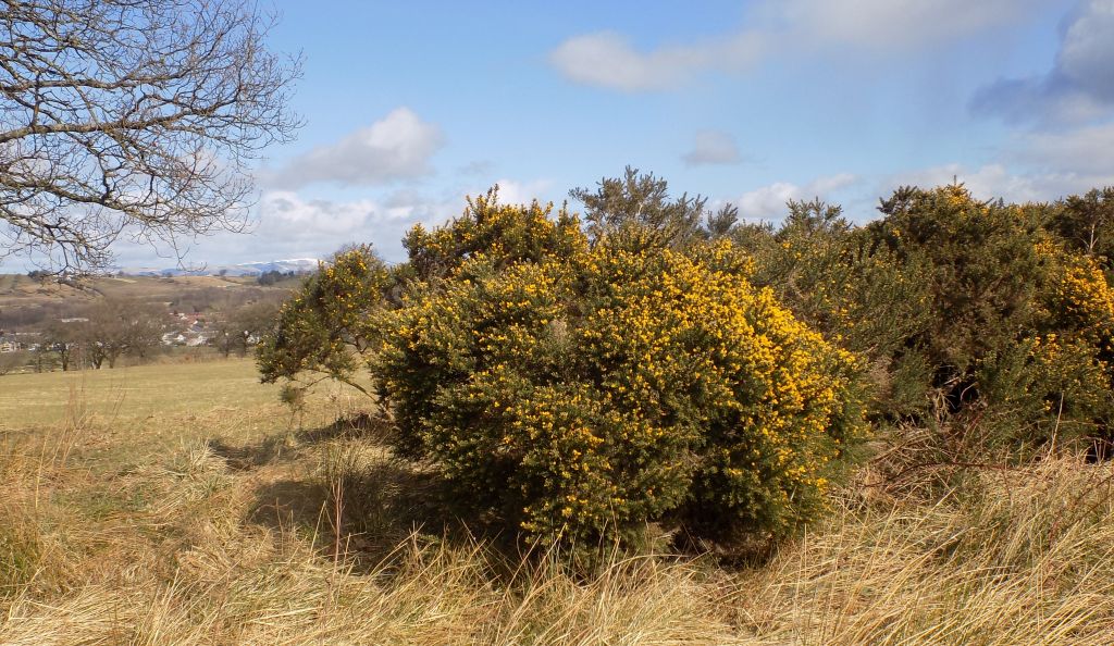 Gorse
in bloom at
Tollpark at Cumbernauld |
|
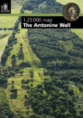
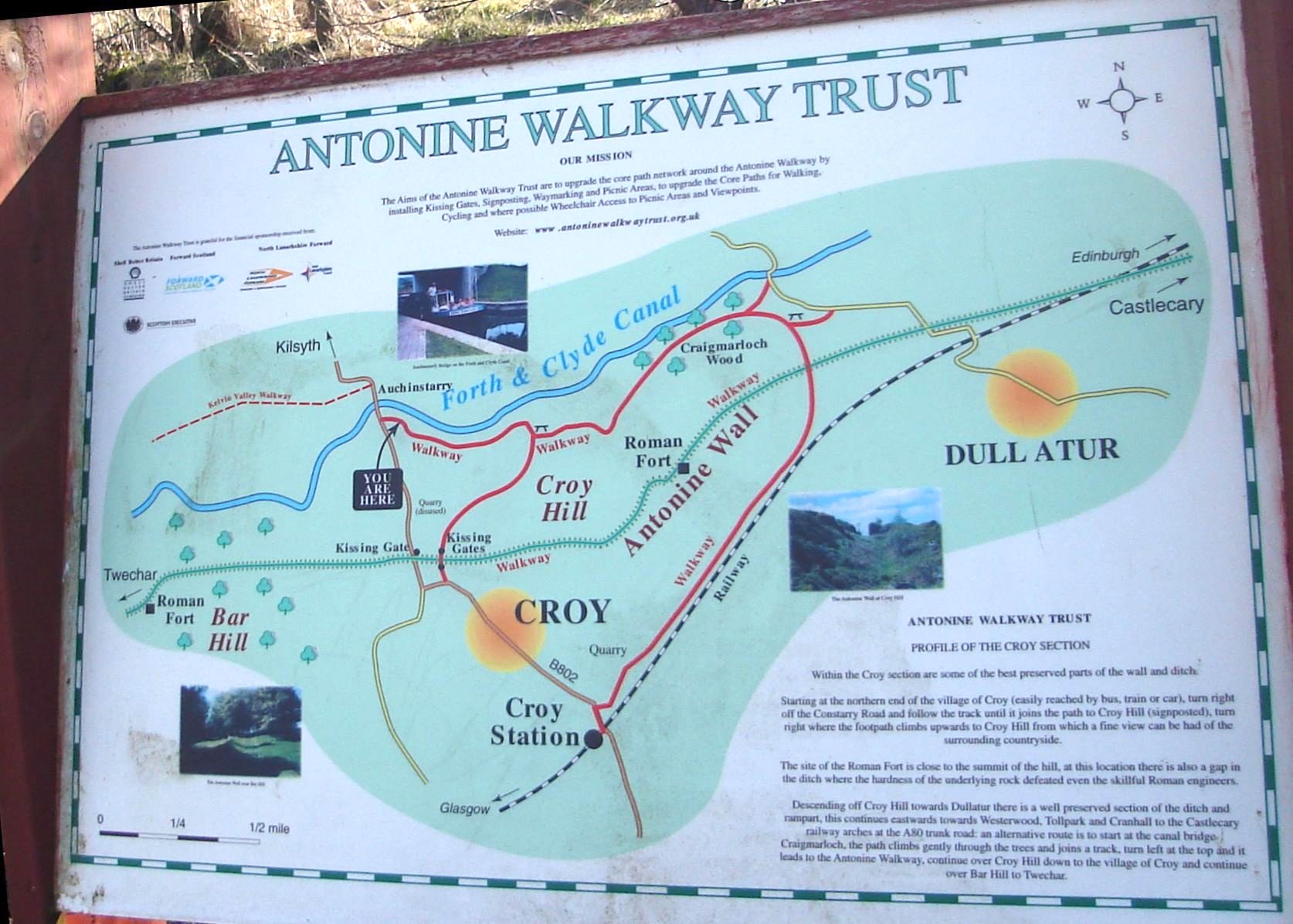
Map
of the Antonine Wall around Croy Hill |
|
Map
of the Antonine Wall from
Croy Hill to Tollpark at Cumbernauld |
|
Map
of the Antonine Wall from Croy Hill to Tollpark at Cumbernauld |
 |
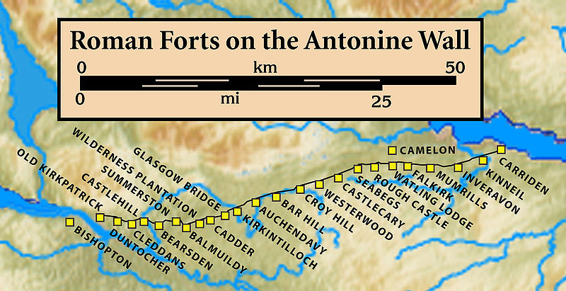 Map of
Roman Forts
on the Antonine Wall |
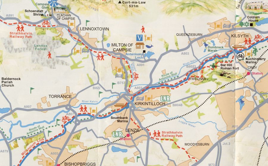
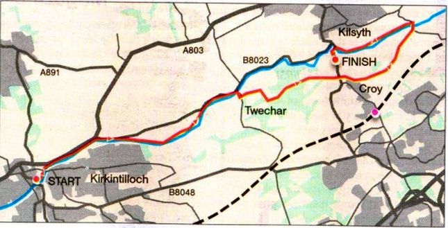 Route
Map
- Kirkintilloch to Kilsyth |
ANTONINE WALL - KIRKINTILLOCH to KILSYTH - ROUTE DESCRIPTION:
Glencoe | Ben Nevis | Knoydart | Isle of Skye | Isle of Arran | The West Highland Way
The Eastern Highlands | The Central Highlands | The Southern Highlands | The NW Highlands