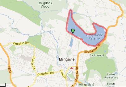
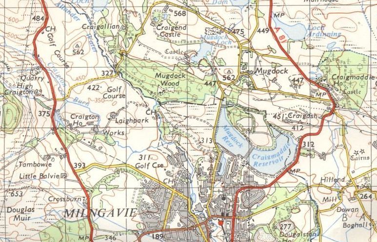
CRAIGMADDIE
RESERVOIR CIRCULAR WALK - ROUTE DESCRIPTION:
This
is an easy four mile walk on the north side of Milngavie which provides the enjoyment
of walking in lovely countryside.
It also gives beautiful panoramic views from the reservoirs.
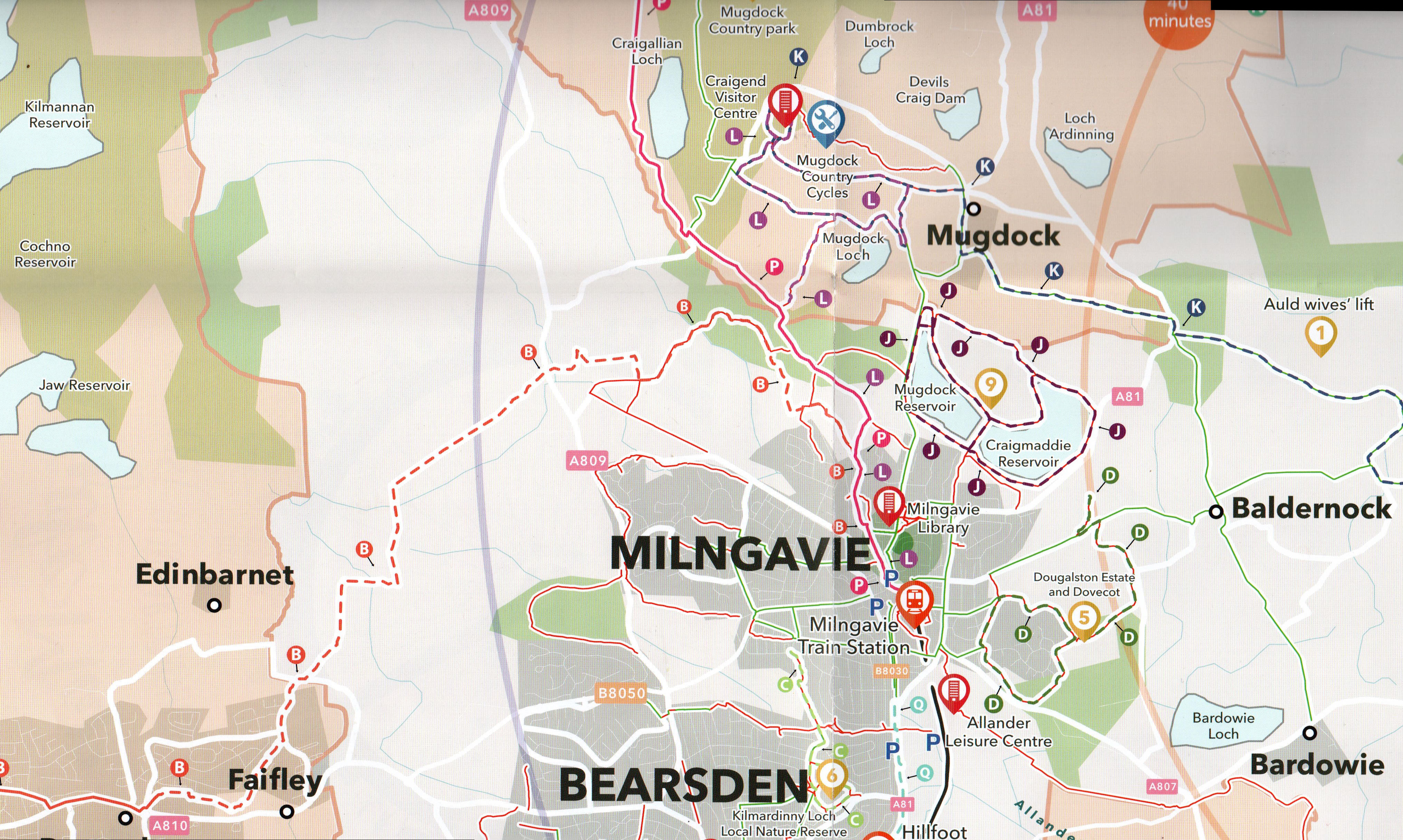
Start from the West Highland Way
obelisk in the centre of Milngavie
to walk to the reservoirs on the north side of the village.
Head east along the pedestrian parade, past Greggs and past Mugdock
Road on the left to the end of the shops.
Instead of descending the flight of steps to the underpass continue
straight ahead on the footpath at the side of the main road.
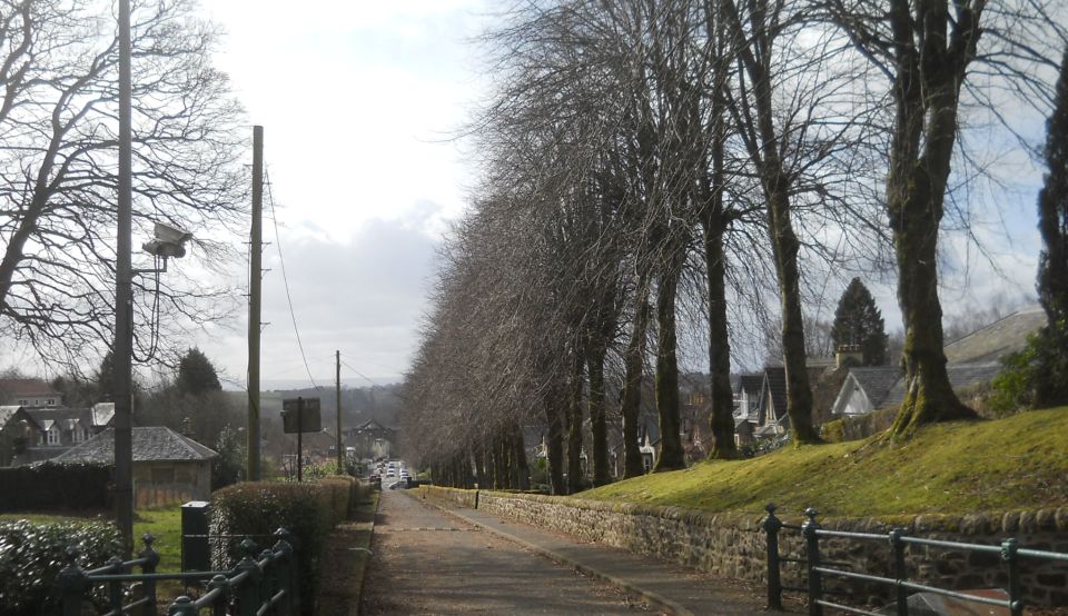
At Buchanan Street turn right and after 100 yards cross the road to
Kersland Drive. This road skirts a car park and turns left .
Continue for 100 yards to the end of the road where it turns into a
lane which takes you to Strathblane Road.
Turn left as far as the first road on the left, Moor Road. Take care in
crossing it into Tannoch Drive, which you follow to the first corner
where you will see a gap in the stone wall on the right. Go through it
and
turn up hill on a tarred road. It is usually clear of trafiic being
closed to all but Scottish Water Board vehicles. At the top of the road
you
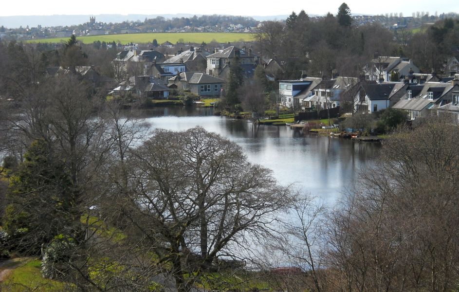
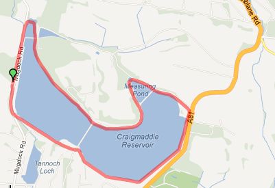
will emerge at the two reservoirs, the one on the east ( right ) side
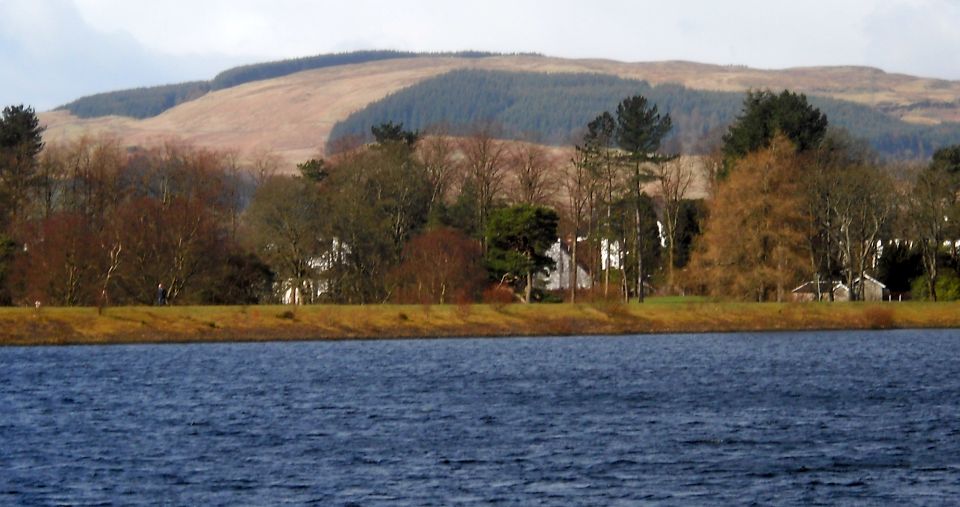
is Craigmaddie while the one on the west ( left ) is Mugdock.
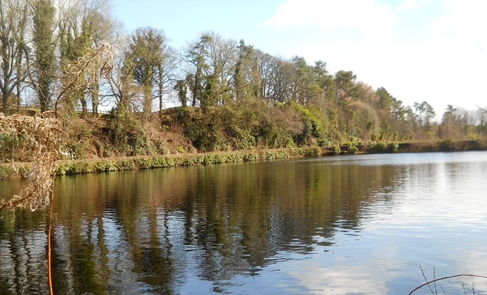
Craigmaddie is preferable because the path a round it is always dry and
from it you can enjoy many wide panoramic views - eg the one to the
south over Glasgow and to the hills
far beyond, capped with wind turbines.
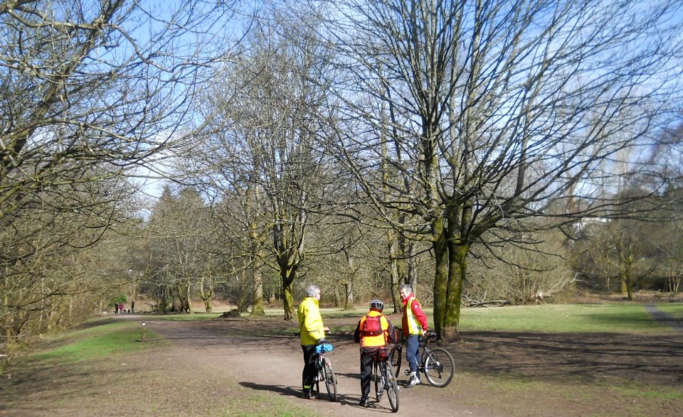
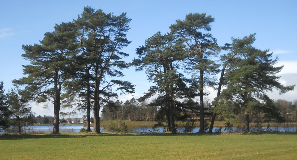
The walk around this reservoir is about two miles and well worth the
effort. But if time is short, or the weather inclement, take the tarred
drive just before the reservoirs that slopes left downhill to Mugdock
Road. Cross this carefully and enter Drumclog Avenue.
Follow it to where it turns uphill and there take a path to the left
which joins another, turning right at this point.
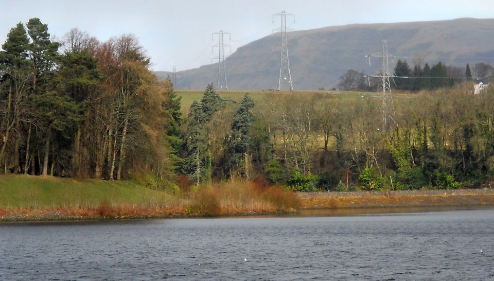
Continue along to a major path junction; turn left onto the West Highland Way. The path descends
steeply; from it you have great views towards Craigton and the hills
beyond. At the foot of the path you come to the
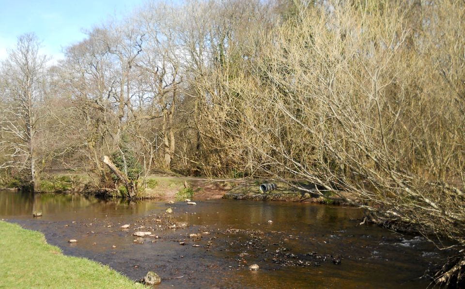
bank of the Allander River,
where you turn left following the signs back to Milngavie centre. After
half a mile you will meet a bridge over the
river; don't go that way but continue along the same bank to a fork
about 100 yards before the community centre / library building. Take
the left
fork as far as Mugdock Road where you turn downhill to the right,
across a small car park, up a ramp and emerge in front of the WHW obelisk at the start of the
walk.
CRAIGMADDIE
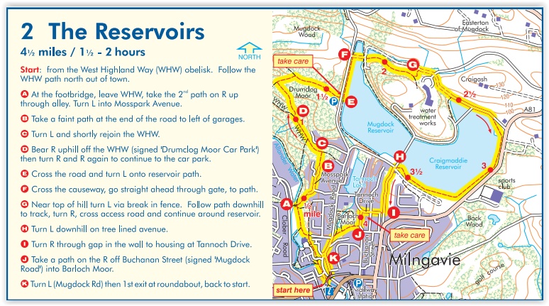
RESERVOIR WALK 2 - ROUTE DESCRIPTION:
This
walk is a another circular route to Craigmaddie reservoir and the
Milngavie Water Treatment Plant and is ahout four miles long which
should take no more than two hours. The Milngavie
reservoirs are a very popular walking area and in addition to starting
at the car park beside the reservoirs they can be reached comfortably
from the centre of Milngavie.
The walk starts from the obelisk in Milngavie precinct and it
follows the West Highland Way
sign ( WHW ) down the ramp next to Costa Coffee, crosses a road onto a
footpath which goes straight ahead under a road
bridge.
Afler the CE Centre building on the left it turns left through the wood
and then right along the side of the River
Allander to the next junction at the iron bridge. Here, the walk
leaves the WHW,
and takes the 2nd path on the right ( diagonal path ) which swings
round right and uphill onto Mosspark Avenue. Turns left here and
continue along the avenue and at its end go through a narrow grass path
into a small wood. At a gravel path, look for a faint walkway to
continue across and then turn right onto
Drumclog Avenue.
Take care at the end of the Avenue to cross busy Mugdock Road and enter
the driveway up to the Reservoir.
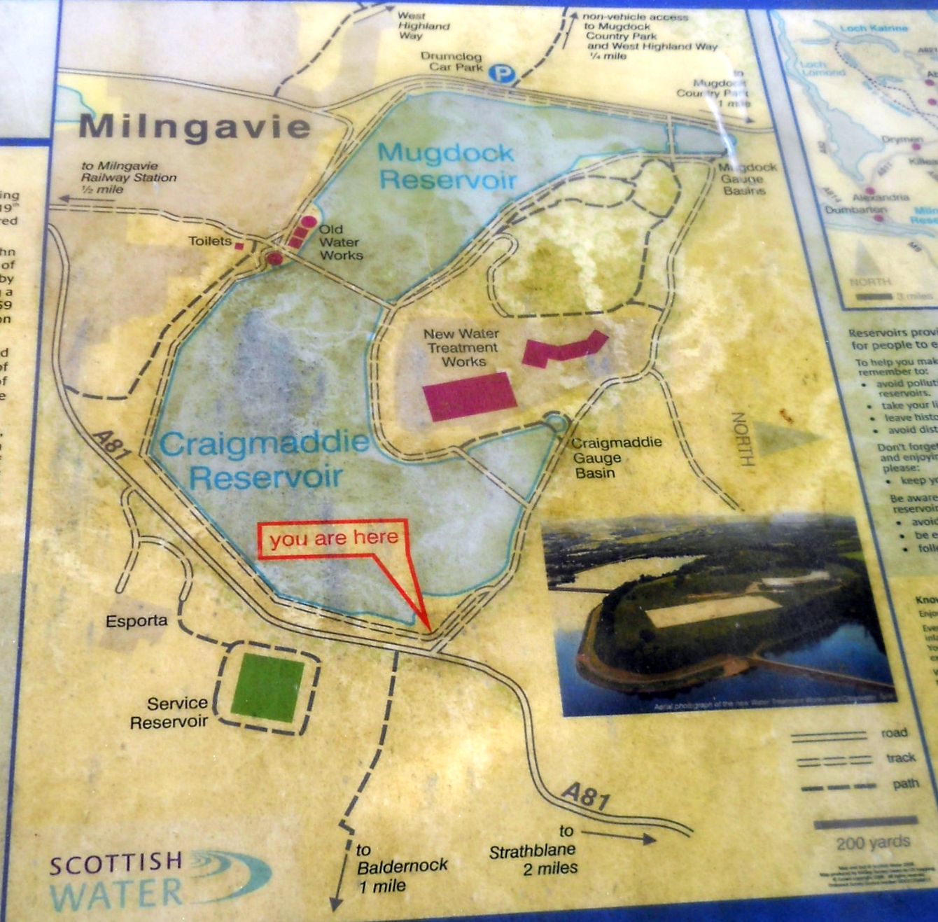
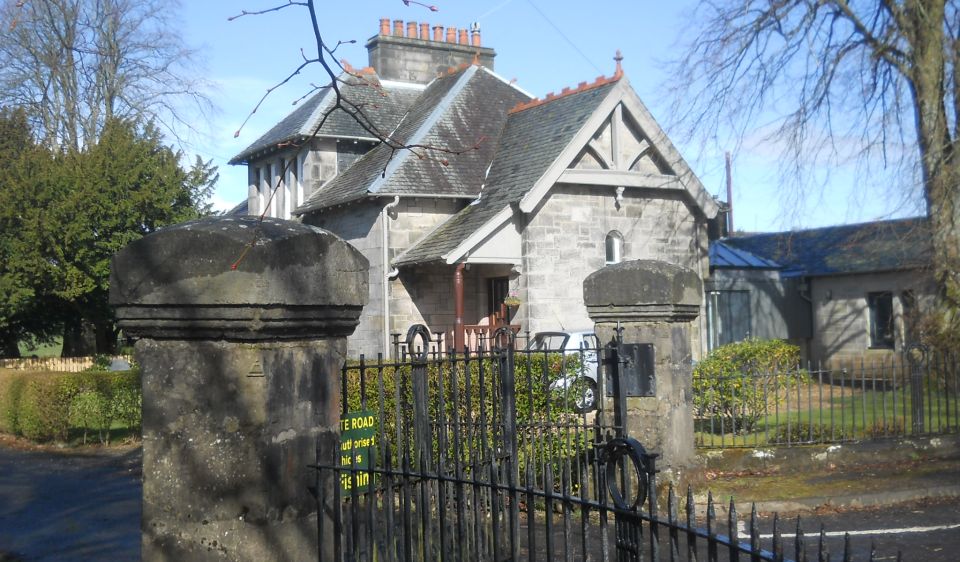
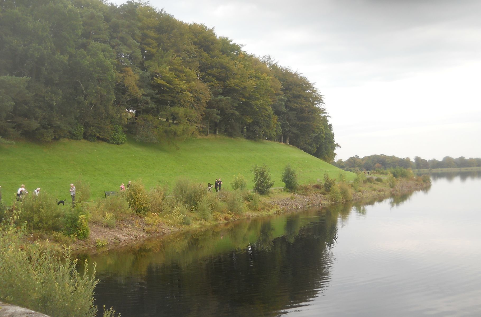
At the top, the walk passes the revamped Commissioner‘s Cottage on the
left and after a short distance reaches the causeway, the central point
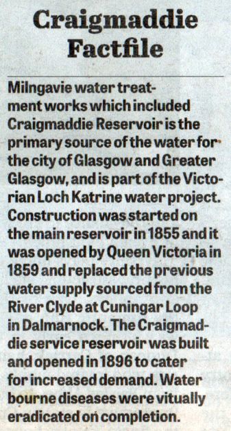
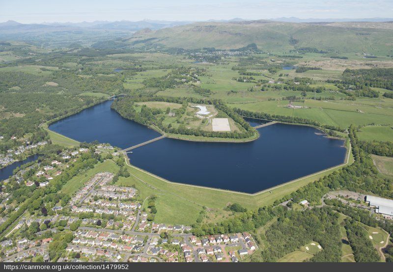
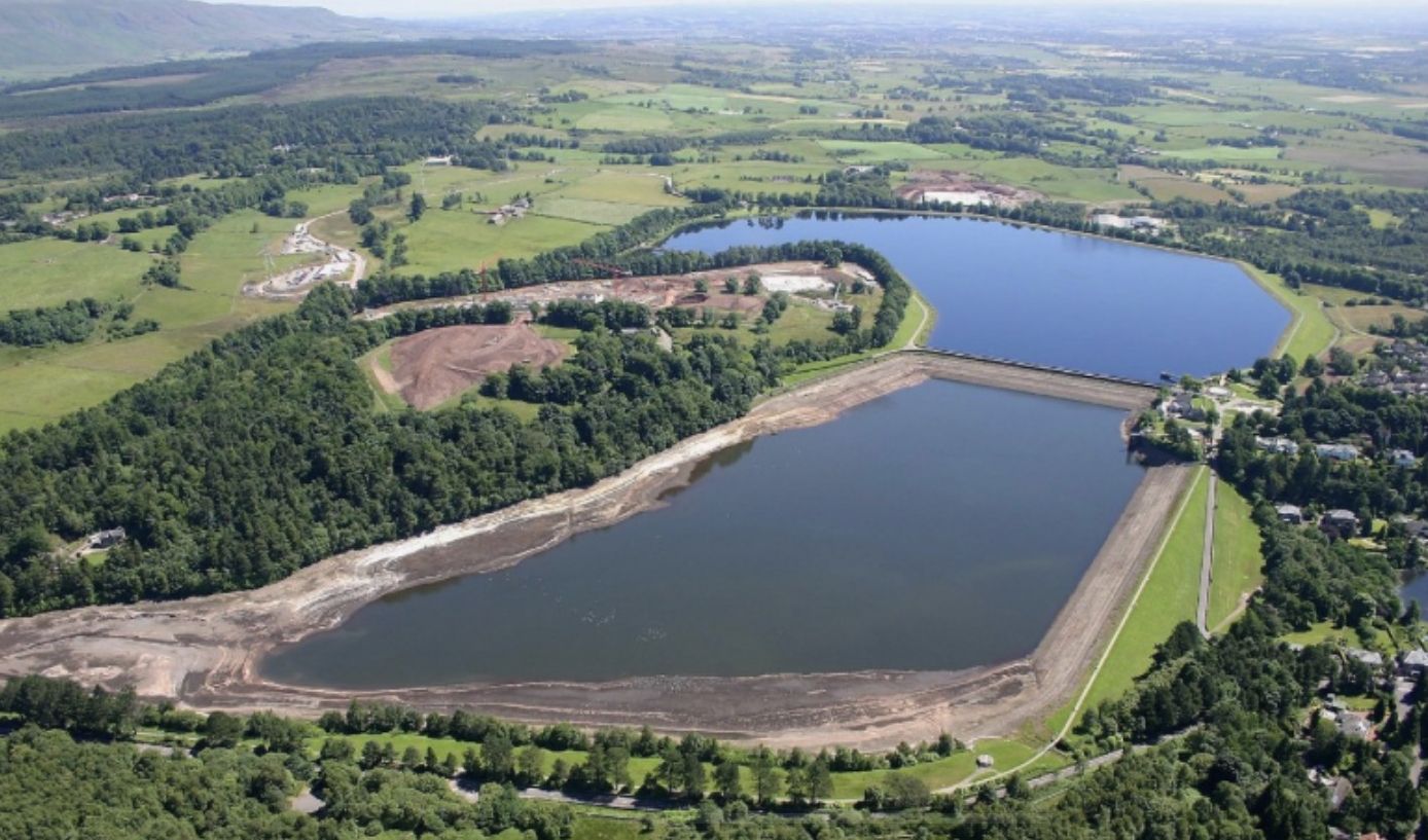
between the two reservoirs; Mugdock
on the left being completed first in 1859 and Craigmaddie on the right
in 1396.
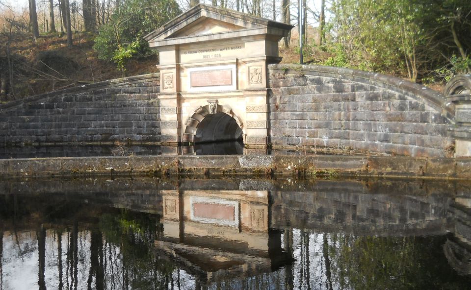
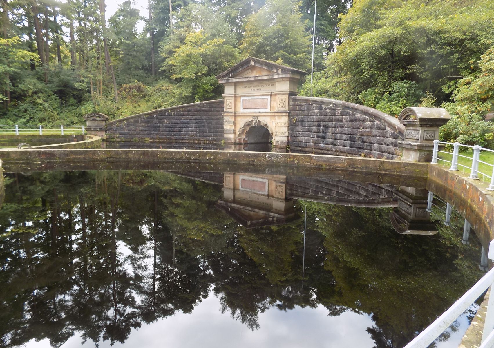
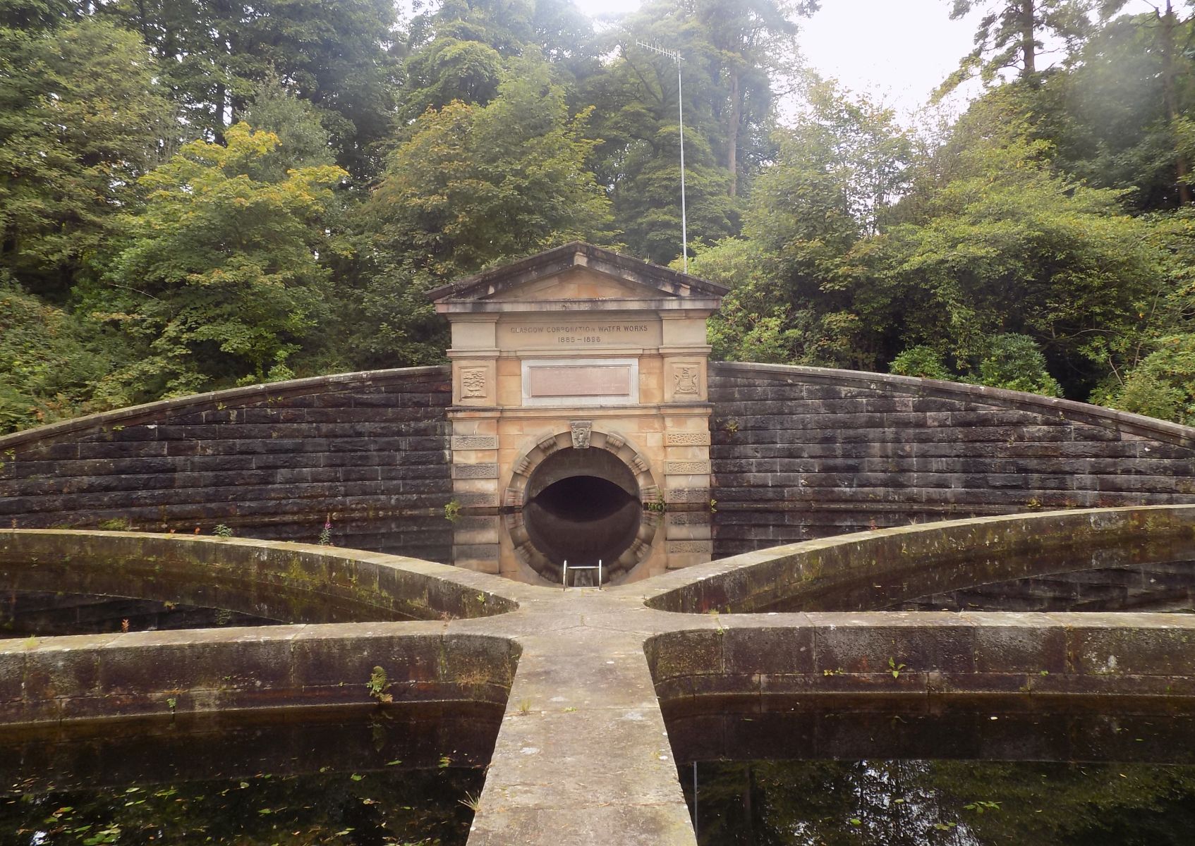
In front of the causeway stands the Gale Monument, which was
erected by employees as a token of respect and esteem to Craigmaddie
Engineer James MGale who died six years after its completion.
The walk follows a causeway then turns left and takes the drivewayto
the right of the hedge which swings round to pass by the ruined
building of Barrachan Farm and onto a gravel path. Turns left along the
side of a
fence and at a gap in the fence at the next left hand bend which leads
to a zig-zag path at the t-junction, turns right onto a wider path. The
walk
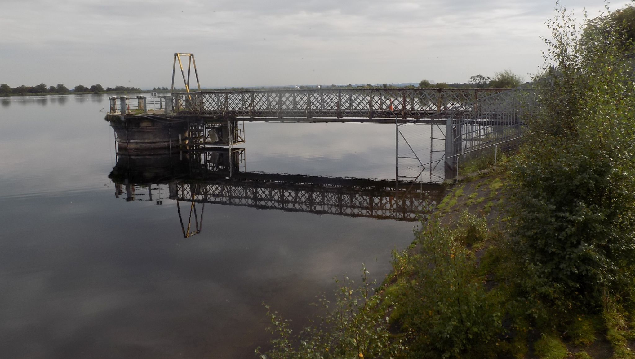
then crosses the road. continues on the gravel track through the wood
to the inlet water flow end of Craigmaddie Reservoir. It is an amazing
piece of engineering construction in that it is capable of carrying a
water
flow along a 26 mile aqueduct from Loch
Katrine to Milngavie.
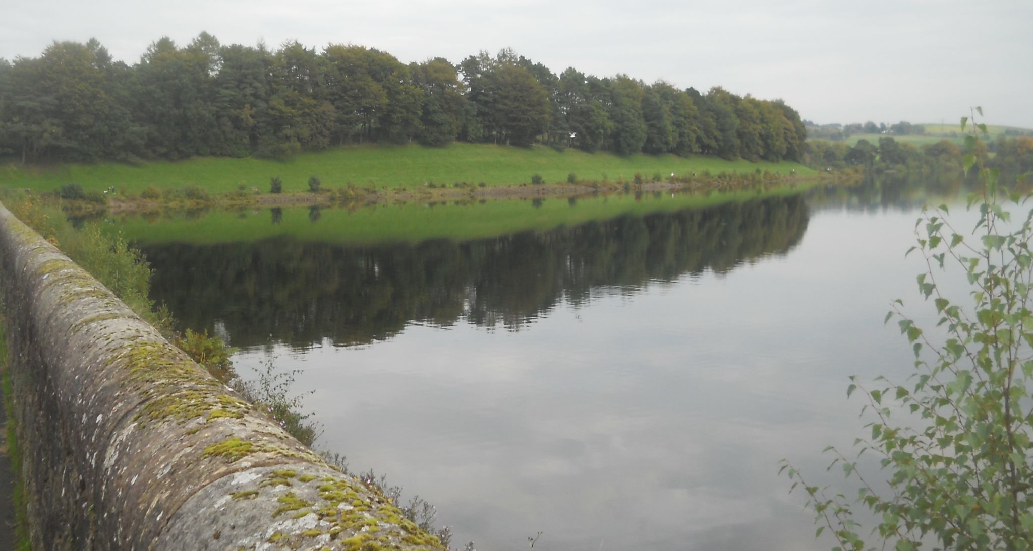
Keeping the reservoir on the right, the walk passes the short causeway
and then leaves the driveway to continue on the gravelpath which
encircles the full reservoir. On returning to the start of the causeway
- the walk turns left and proceeds down Commissioner's Way.
It turns right to pass through a gap in the wall, goes straight ahead
along Tannoch Drive and turns left into Buchanan Street.
At the sign on the right “Mugdock Road" to go through Barloch Moor and
then turn left and take first exit at roundabout back to the start.


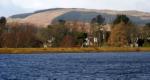 :: Milngavie
Waterworks Gallery
:: Milngavie
Waterworks Gallery 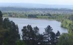 ::
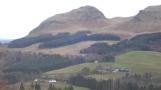
Dumgoyne
& Campsie Fells
::
Dumgoyne
& Campsie Fells