|
Bearsden & DistrictCadder Church |
  |
| |
Bearsden & DistrictCadder Church |
|
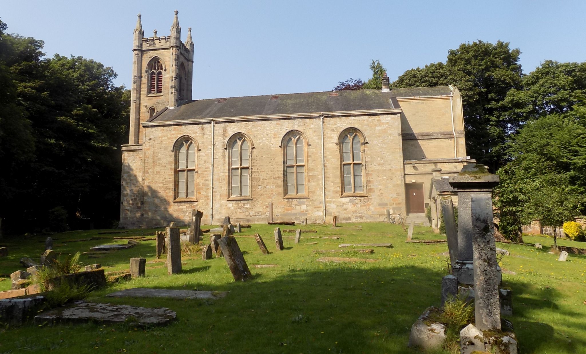
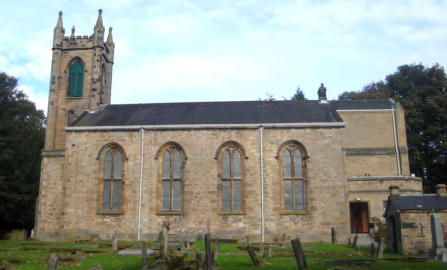
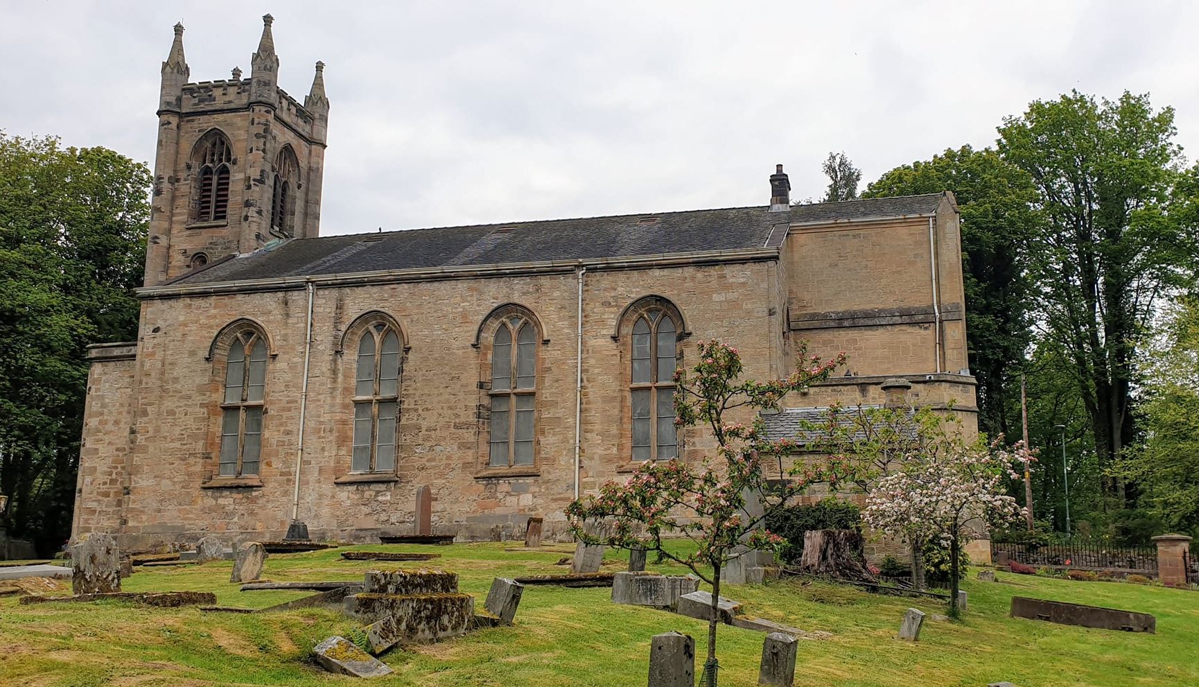
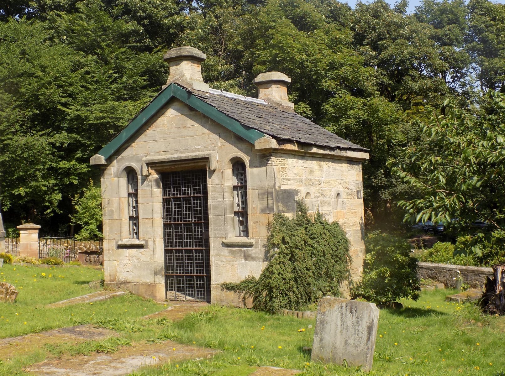
 Parish
Church at Cadder
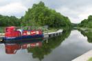
close to the Forth and Clyde Canal. It is situated in East Dunbartonshire some 7km north of Glasgow and 1.5km NE of Bishopbriggs. |
 Parish
Church at Cadder
|
 Parish
Church at Cadder
|
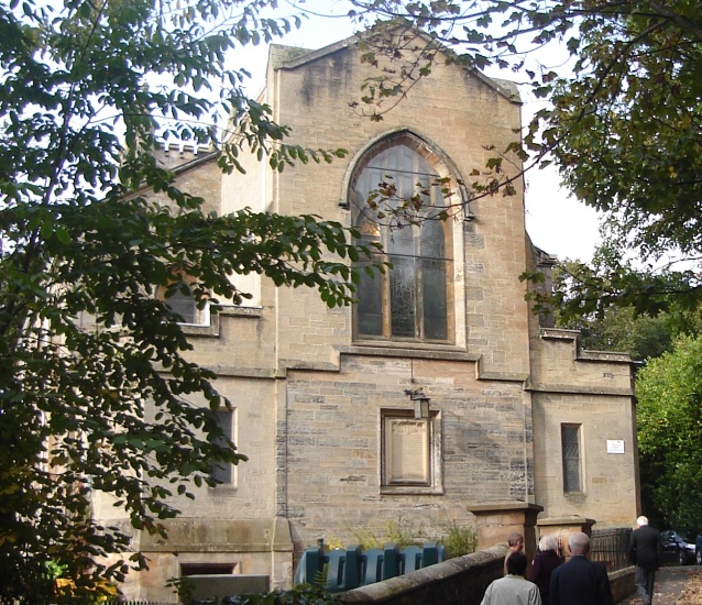
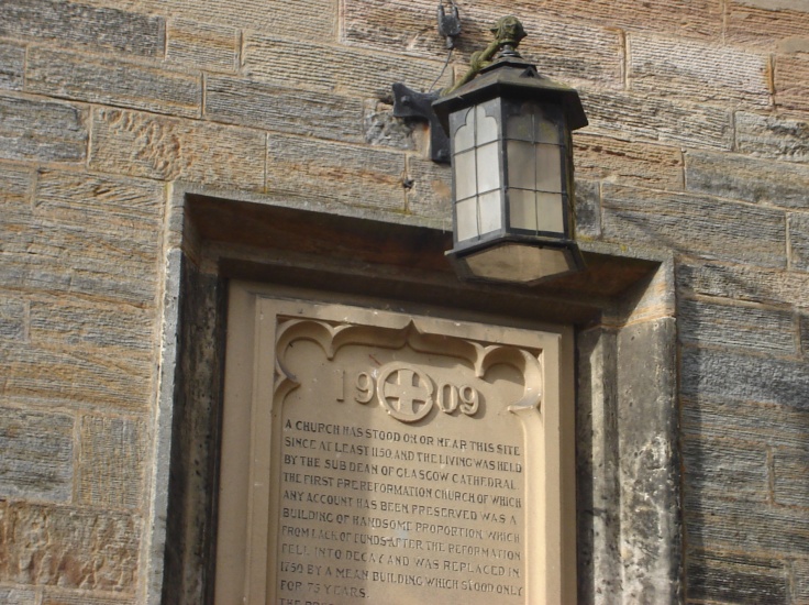 Inscription
on East Wall of
Parish Church at Cadder
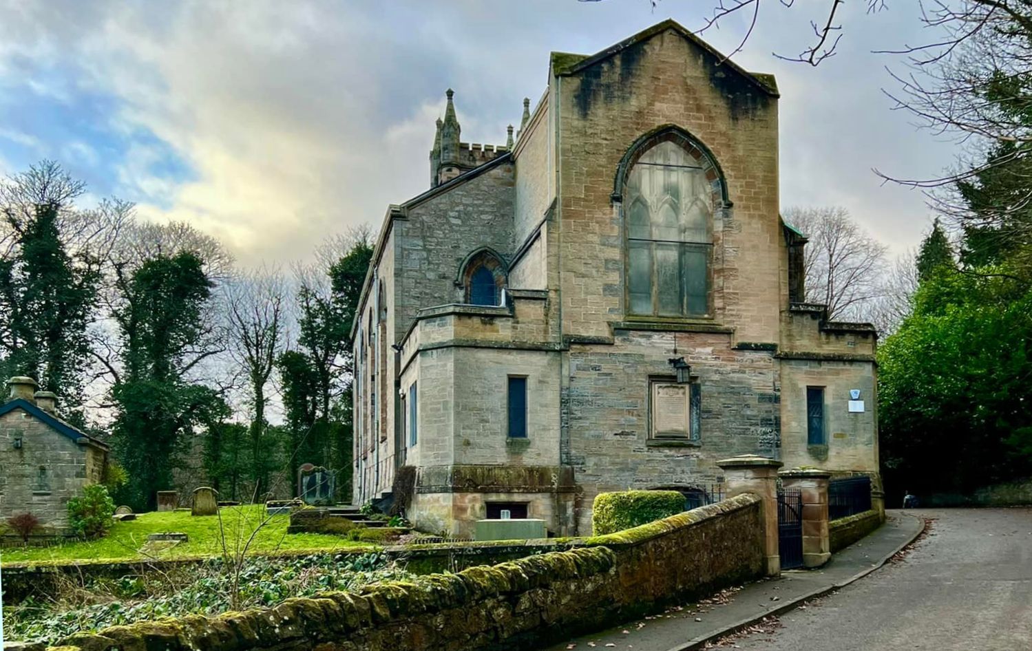
There has been a church at Cadder since c1150AD. The present church was designed by David Hamilton ( 1768-1843 ) in Neo-Gothic style. It was built in 1825 and completed in 1829 on the erection of the tower. |
 Parish
Church at Cadder
|
 Parish
Church at Cadder
|
 Parish
Church at Cadder
|
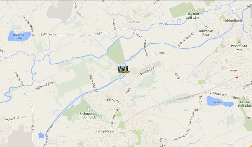 Location
Map of Cadder Parish
Church
|
Glencoe | Ben Nevis | Knoydart | Isle of Skye | Isle of Arran
The Eastern Highlands | The Central Highlands | The Southern Highlands | The NW Highlands