  |
Southern ScotlandBroad Law
|
  |
| |
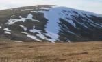
Southern ScotlandBroad Law
|
|
Photographs of a circular traverse of the Corbett Broad Law
near Moffat in the Borders Region of Scotland
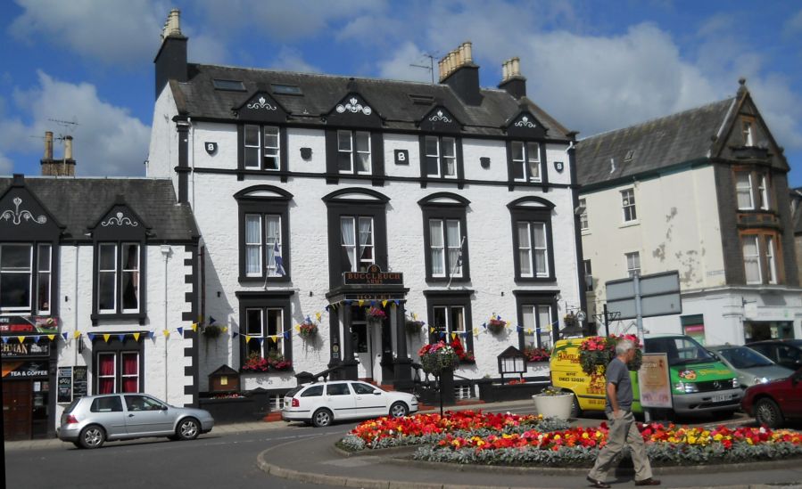 The
Town of Moffat
Moffat is on the Southern Upland Way - a long distance walk across the Borders Region of Scotland |
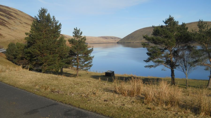
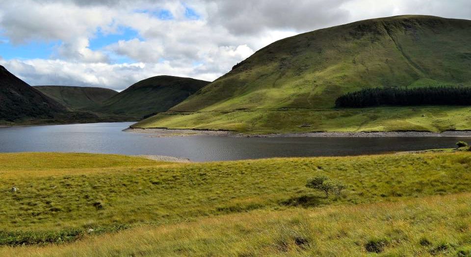
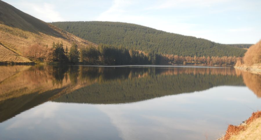 Talla
Reservoir
|
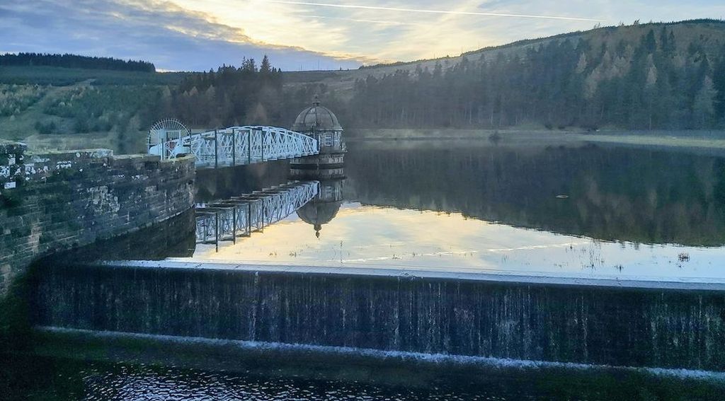 Talla
Reservoir
|
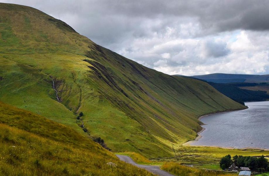 Talla
Reservoir
|
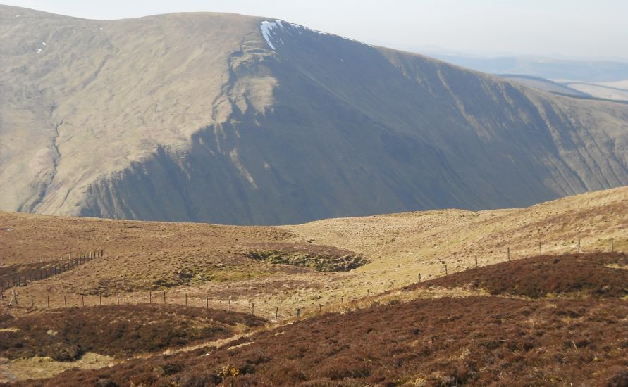
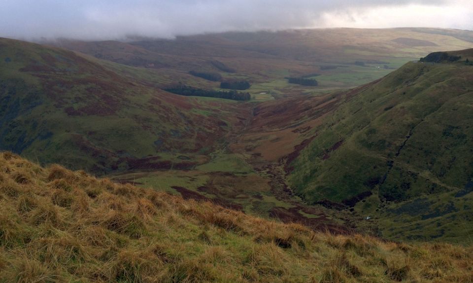
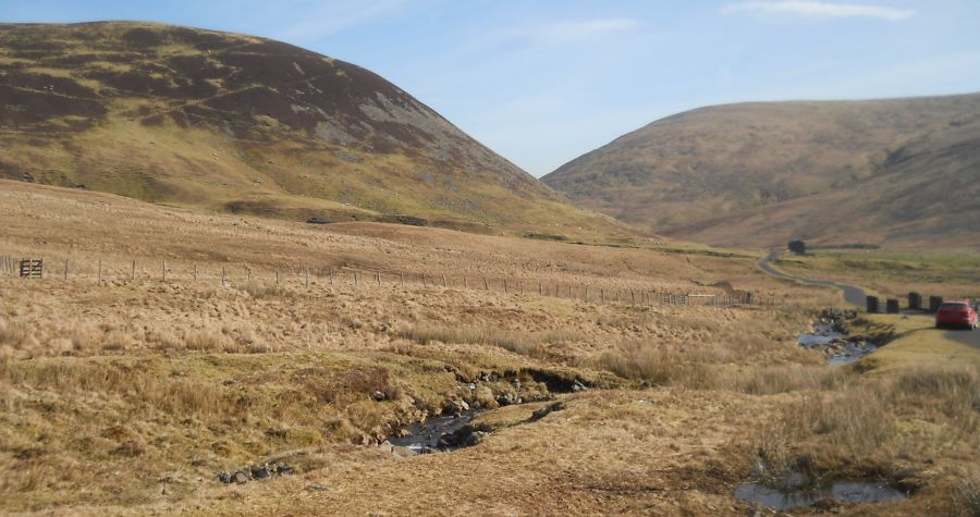 Craighead
above Meggethead
Meggethead is the start / finish point of the route |
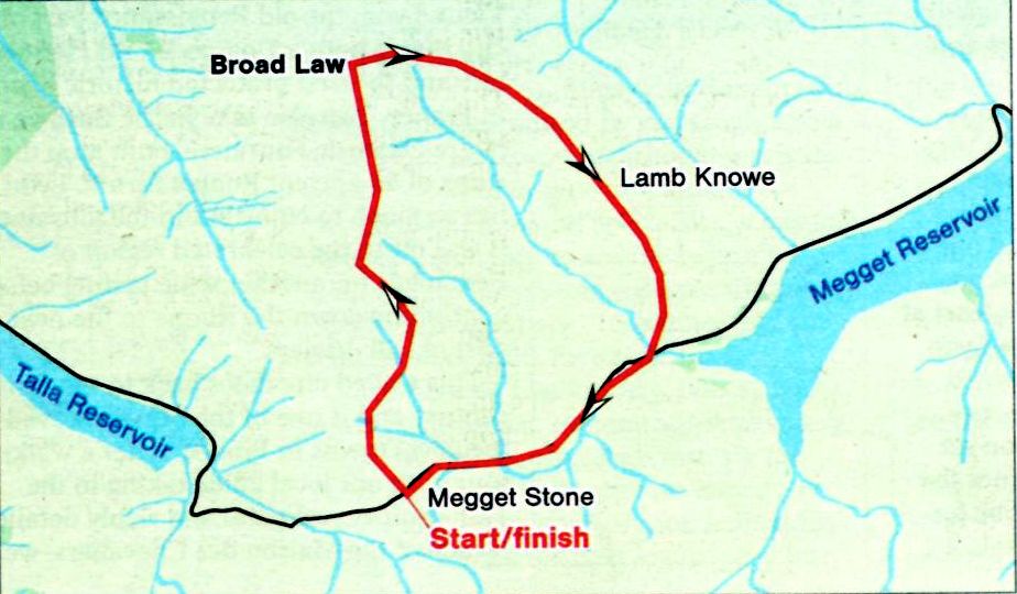
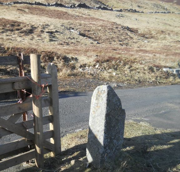 The
Megget Stone
The Megget Stone stands on the watershed at the side of the Megget - Talla road. It marks the boundary between Selkirkshire and Peeblesshire. |
 Manor
Hills of the Scottish
Borders
from Porridge Cairn on ascent of Broad Law |
 Neighbouring
Hill
on ascent of Broad Law |
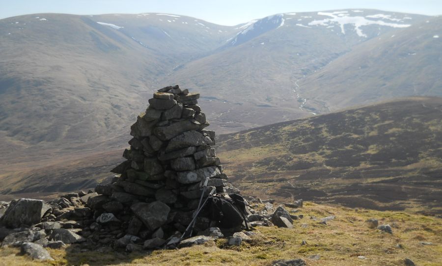
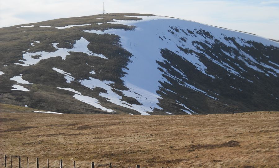
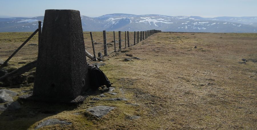 Trig
Point ( 2756ft, 822m )
on the summit of Broad Law Broad Law is the second highest ( after Merrick ) of the Seven Corbetts in the Borders region |
 |
 |
 Broad
Law
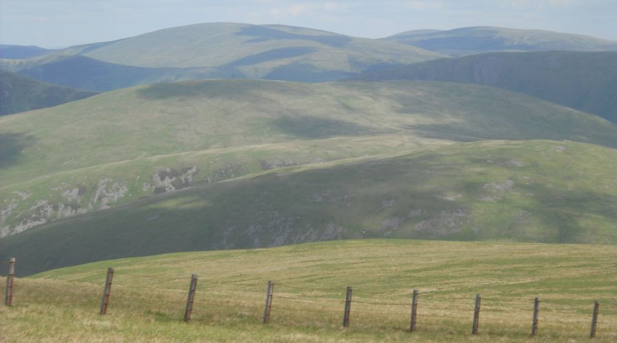
on traverse to Little Craig |
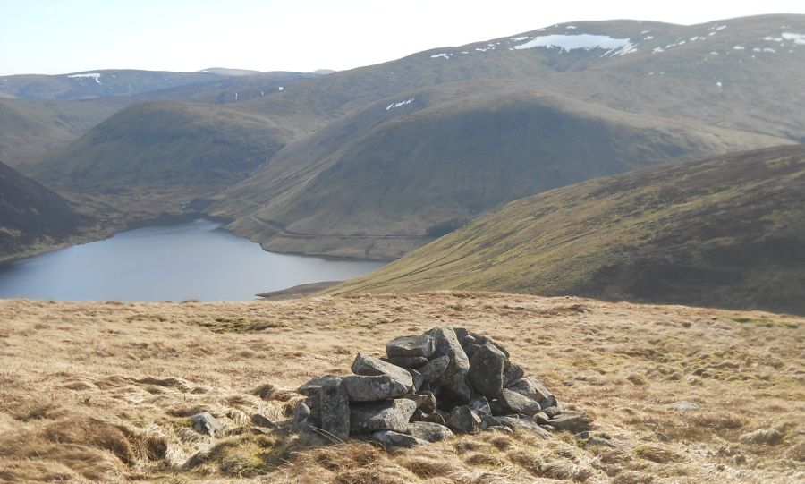 Megget
Reservoir
from Pykestone Knowe on descent from Little Craig |
 |
 Scots
Pines at Linghope
on Megget Reservoir |
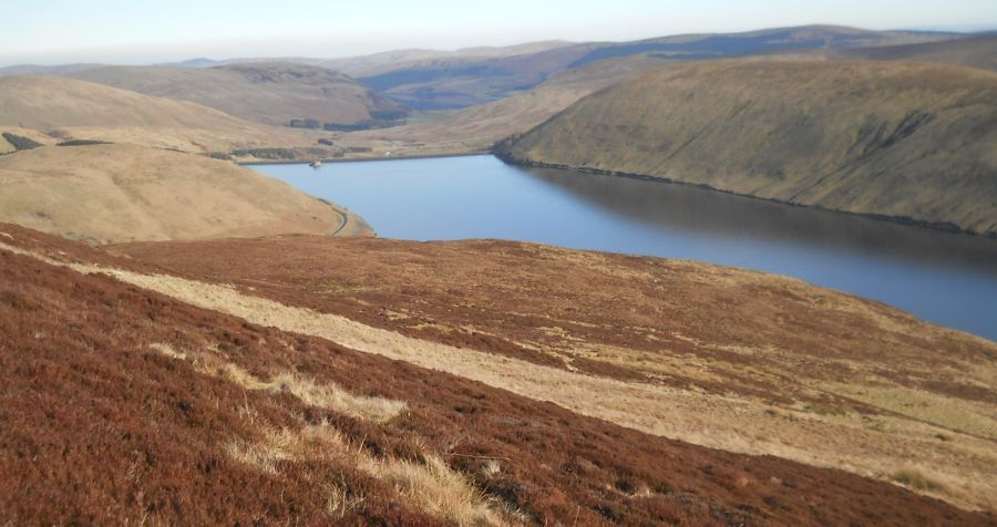
 Megget
Reservoir
|
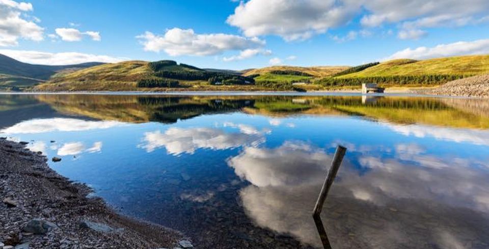 Megget
Reservoir
|
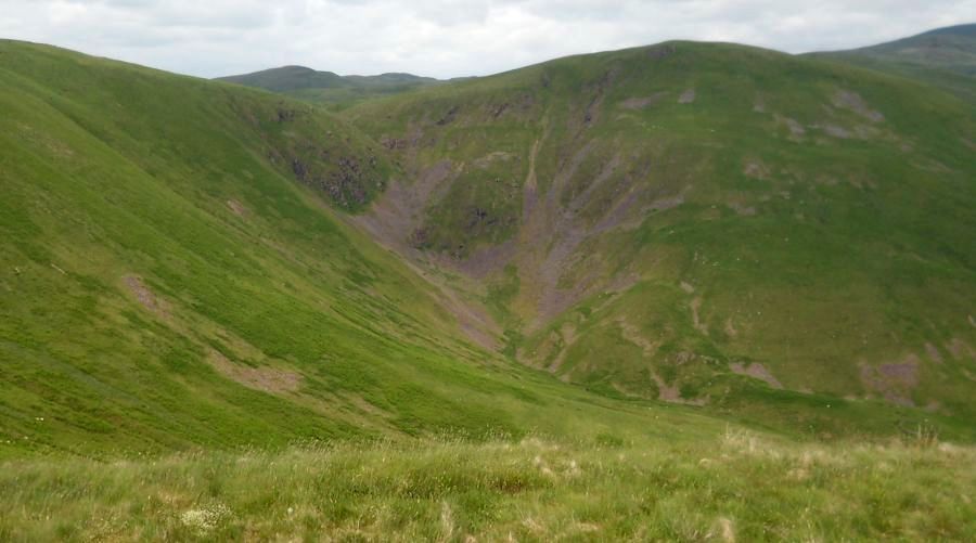 Devil's
Beef Tub above Moffat
The Devil's Beef Tub is
a dramatic hollow
in the hills north of Moffat. The name derives from its use by the Border Reivers to hide stolen cattle. The 500ft ( 150m ) deep hollow is formed by four hills:- Great Hill, Peat Knowe, Annanhead Hill, and Ericstane Hill. It is one of the two main sources of the River Annan. |
 Devil's
Beef Tub
above Moffat |
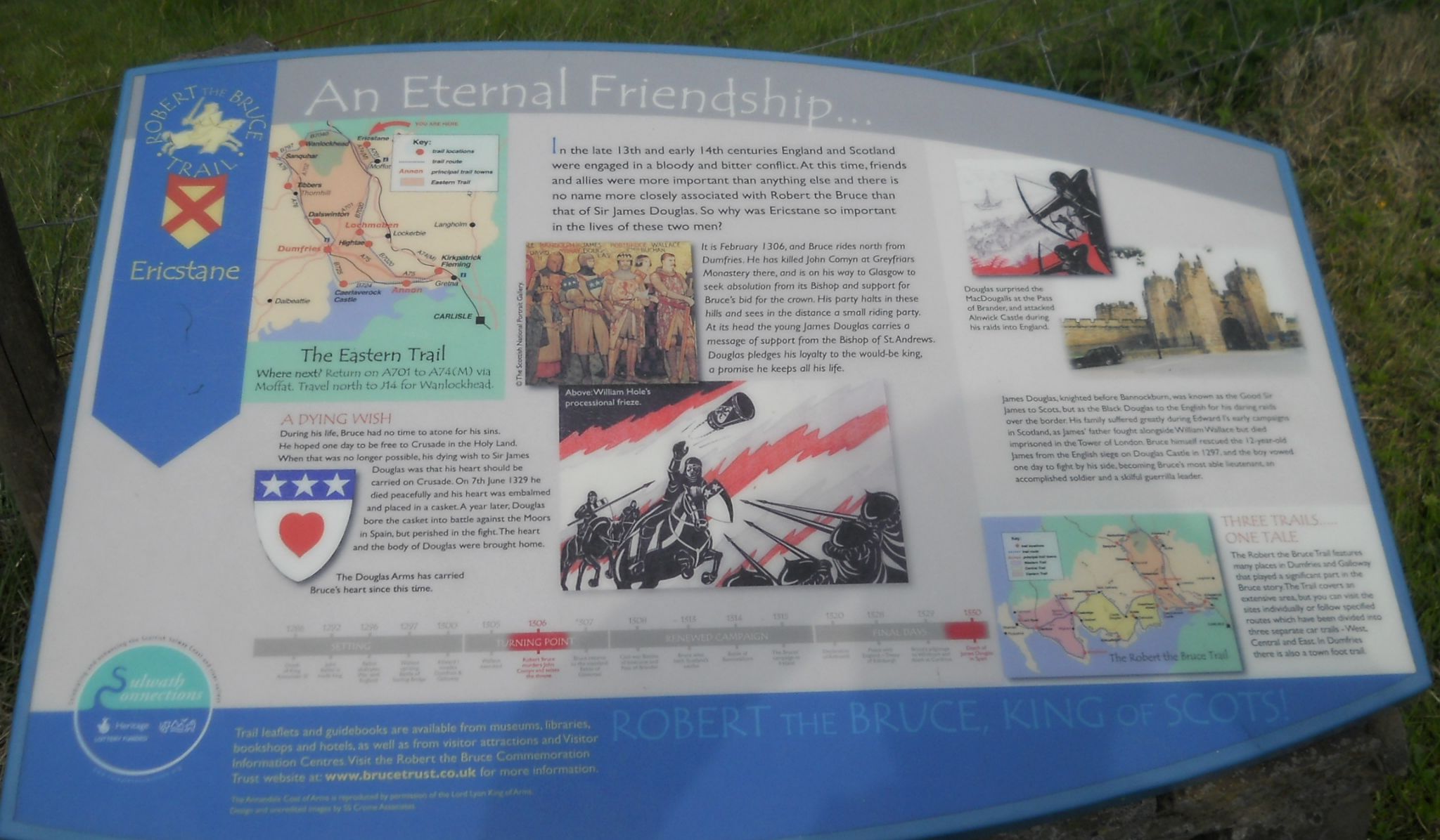 Information
Board at viewpoint
opposite the Devil's Beef Tub ( Note: Click here or on above for large format copy ) |
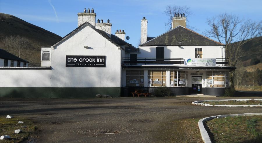 Crook
Inn ( c1604 ) near
Tweedsmuir
One of many claimants to be the oldest inn in Scotland. Robert Burns wrote "Willie Wastle's Wife" there. |
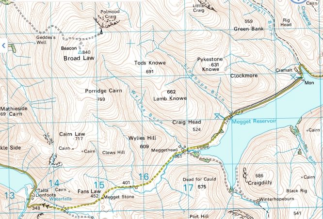 Map of
Broad Law
|
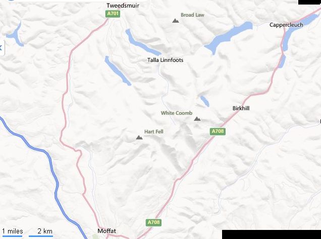 Location
Map of Broad Law
|
 Route
Map of Broad Law
|
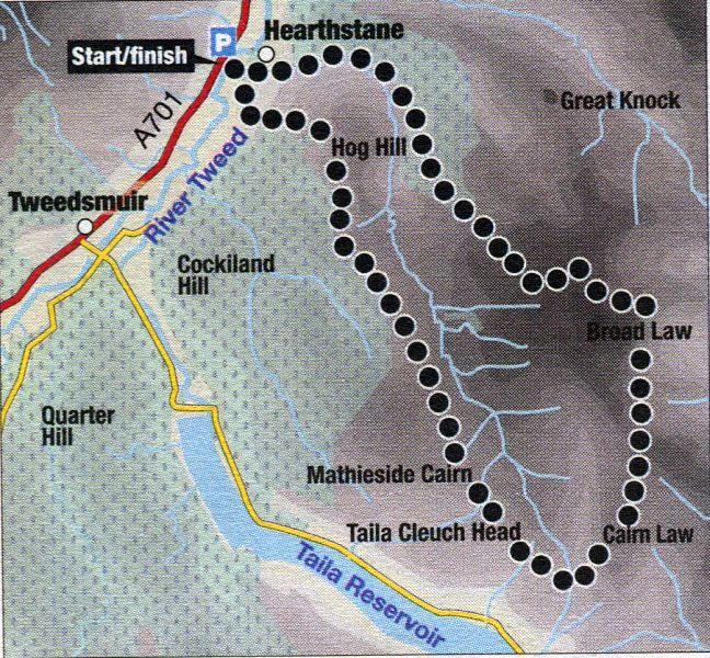
BROAD LAW - ROUTE DESCRIPTION:
 Route
Map of Broad Law
|
BROAD LAW - ROUTE DESCRIPTION 2:
Location: Hearthstanel
Tweedsmuir, Borders
Map: OS Landranger 72
(GR1 09261)
Distance: 9.5 miles (15km)
Time: 5 hours
Terrain: good access track and rough hill tracks
This walk leads to the second highest point in southern Scotland and although the ascent itself is relatively straightforward, there is the option of a fine extension.
Start from a parking area beside the bridge over the River Tweed at Hearthstane, about a mile north-east of Tweedsmuir, a short distance from the Crook Inn.
Cross the bridge and follow the access road which swings round over the Hearthstane Burn to the building at Hearthstane.
Break off rightwards through the farmyard on a track which leads into the jaws of the valley.
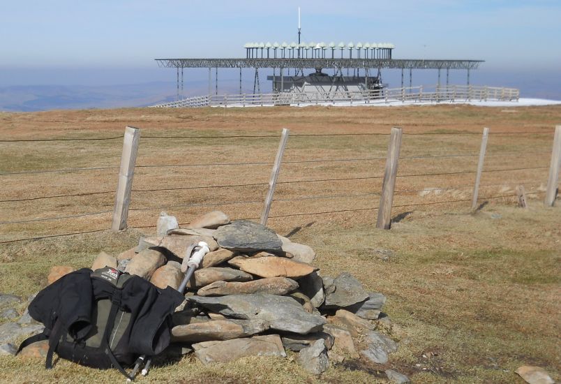
Rising above the forest and prominent in the view ahead is Great Knock on Broad Law’s northern ridge. The track continues into the valley then rises
through the forest and out on to the hillside to provide an easy, if occasionally steep, route which leads all the way to the air traffic navigational beacon
building on top of Broad Law ( 840m; 2 hours ). The trig point lies just beyond, beside the fence.
While the easiest route is to return the same way, I recommend extending the walk to a full circuit of the Hearthstane valley.
Descend easily southwards beside the fence for a mile to pass over the slight rise of Cairn Law then follow the right-hand fence and swing
round the head of the Hearthstane valley.
After ascending a rough hill track on to the top of Talla Cleuch Head ( 2264ft / 690m ) continue north, then north-west on to Mathieside Cairn.
Now break away from the fence and descend the grassy northern ridge, following a line of old wooden fence posts, to join another rough hill track.
Continue down this then along the ridge across the top edge of the recently felled forest and pass over the slight rise of Manyleith Head to gain the top of Hog Hill.
Descend north-west beside the forest to gain a track then walk along this for 100m and then, either just before or just after two communications masts,
drop off the track and descend through gates in the field on to a lower track which leads back to the Hearthstane access road.