  |
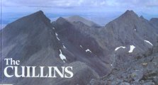
The Scottish HighlandsKintail
|
  |
| |
The Scottish HighlandsKintail
|
|
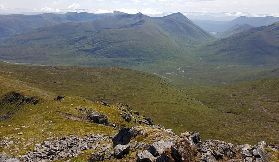
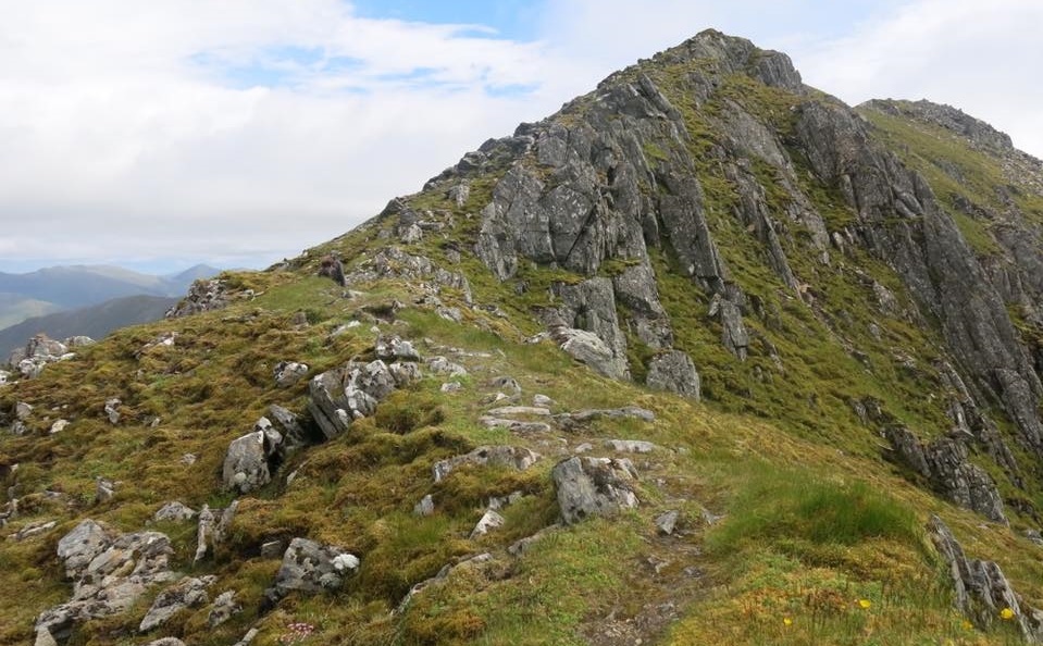
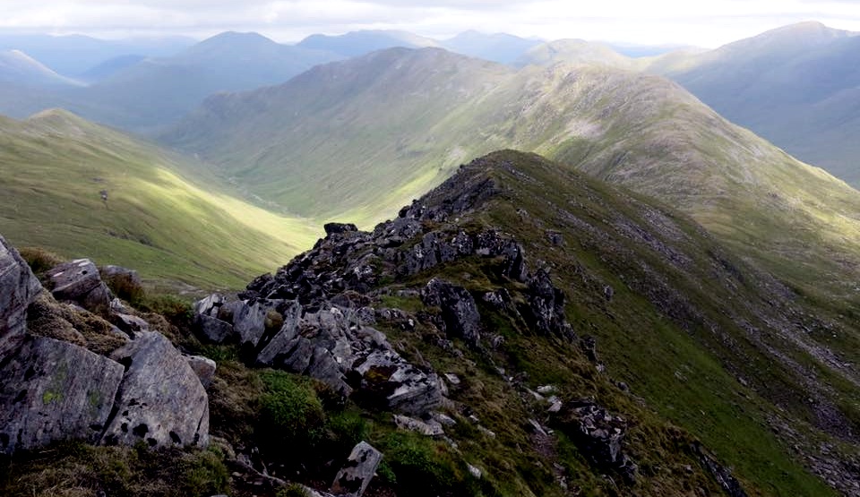
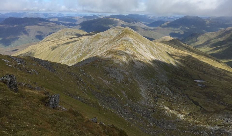
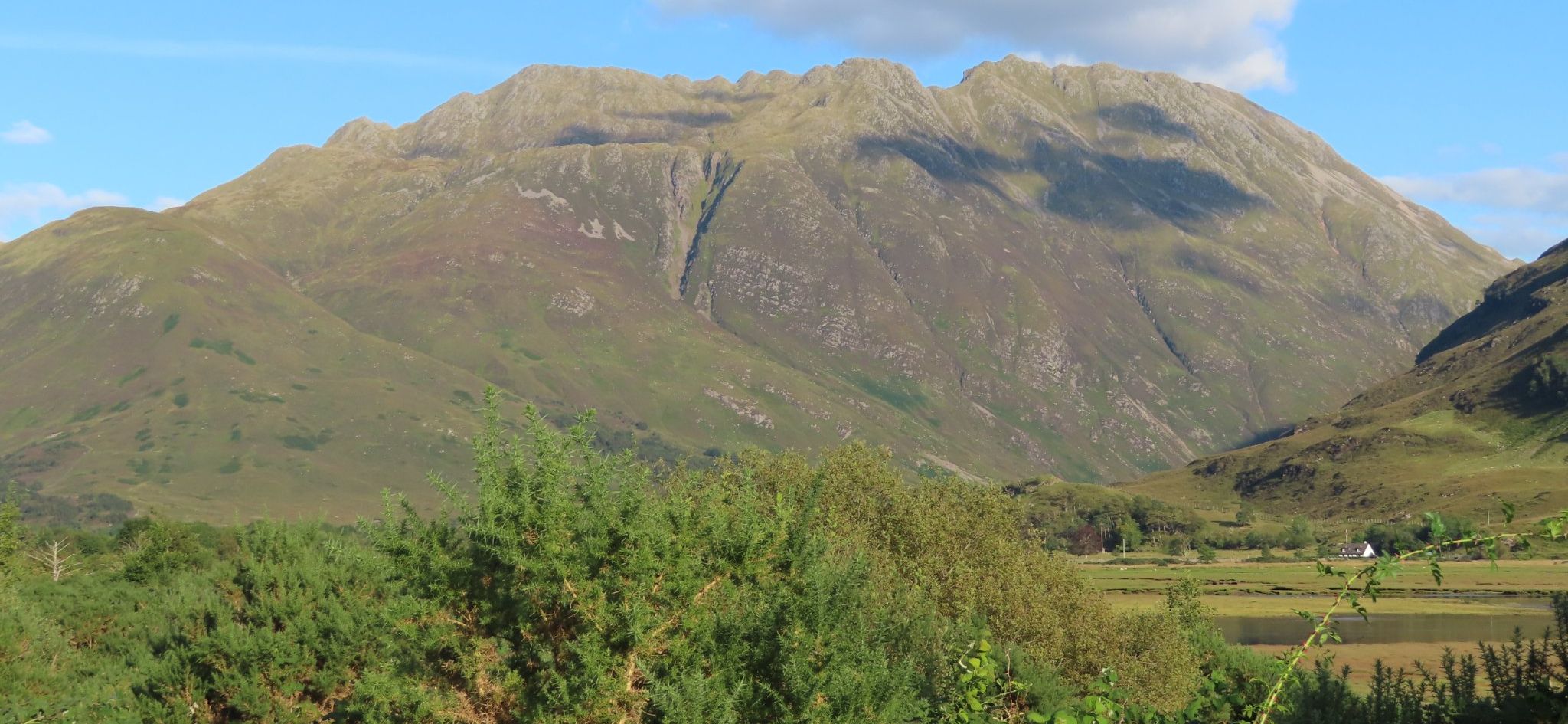 Beinn
Fhada ( Ben Attow )
- 3386ft, 1032m
- above Gleann Lichd |
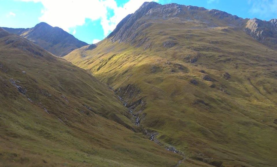
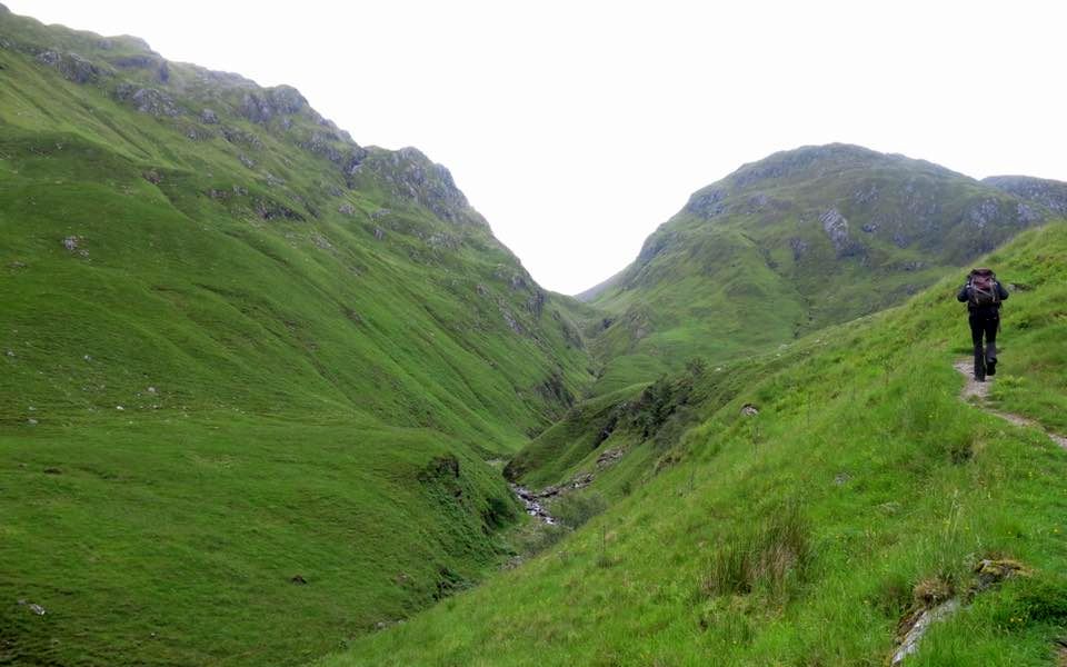
 Gleann Lichd
on route to Beinn Fhada ( Ben Attow ) |
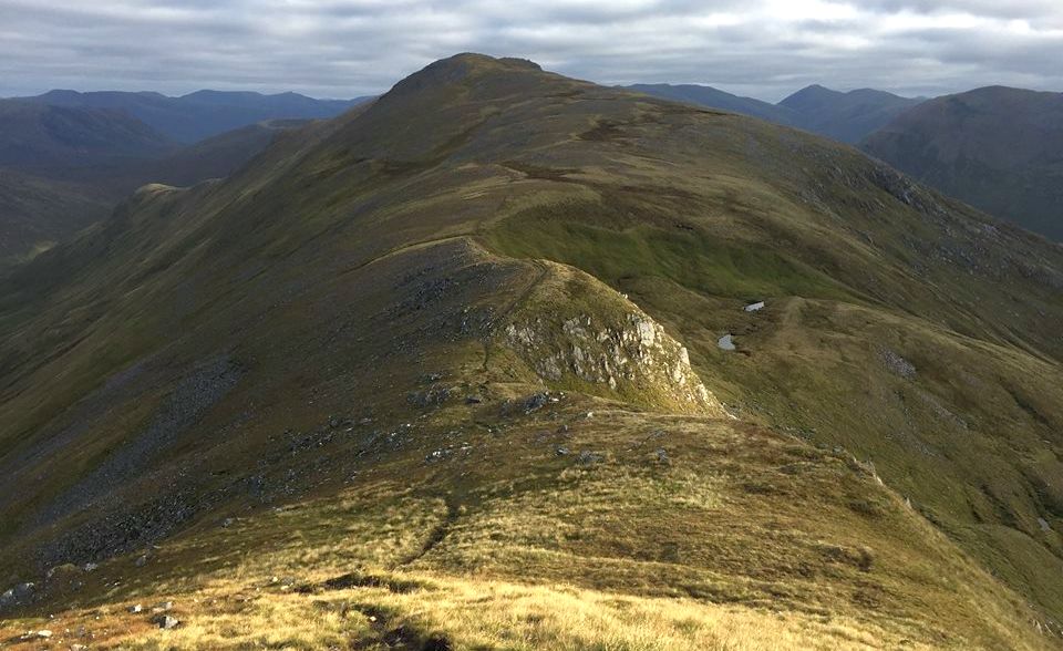
 Beinn
Fhada ( Ben Attow )
- 3386ft, 1032m
- in Gleann Lichd |
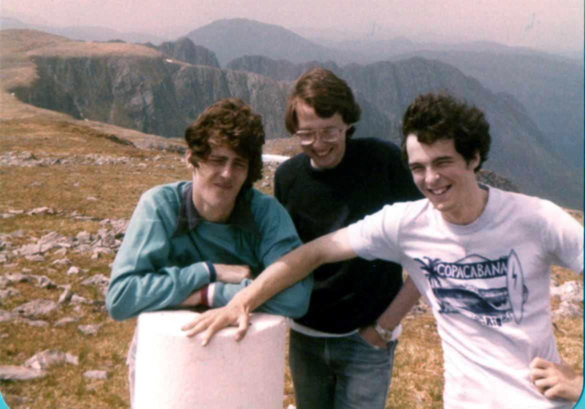 Summit
of Beinn Fhada (
Ben Attow )
|
|
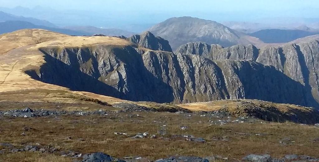 Summit
Plateau of Beinn Fhada (
Ben Attow )
|
|
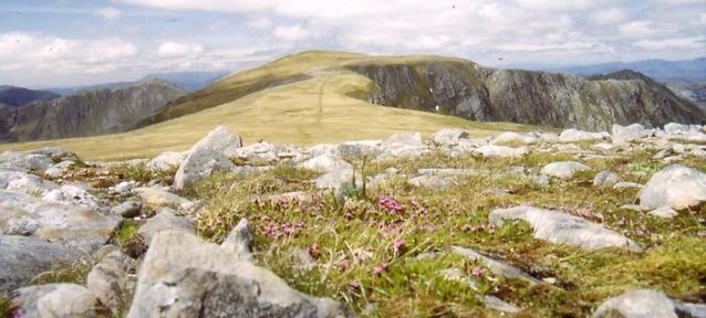 Summit
Plateau of Beinn Fhada (
Ben Attow )
|
|
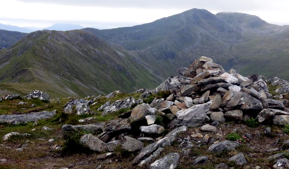
 Beinn
Fhada (
Ben Attow )
|
|
 Beinn
Fhada (
Ben Attow )
|
|
 Map of
Beinn Fhada ( Ben Attow )
|
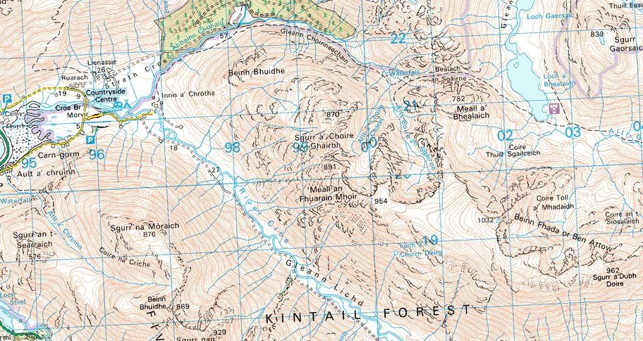
 Map of
Beinn Fhada ( Ben Attow ),
A' Ghlas Bheinn and Sgurr nan Ceathreamhnan |
 |
|
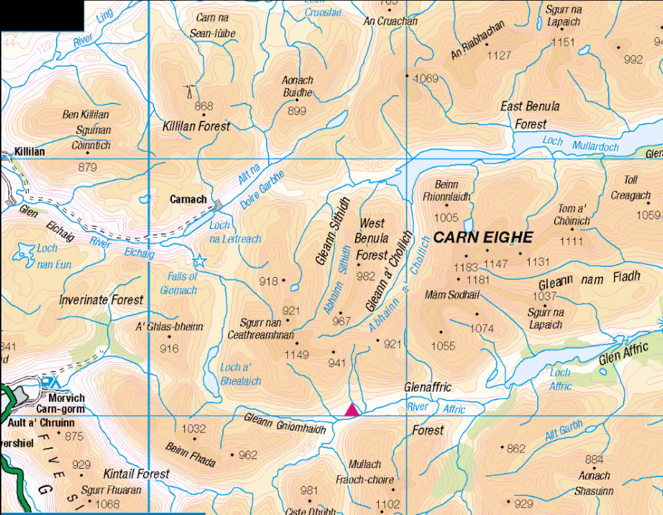
Map of Carn Eighe |
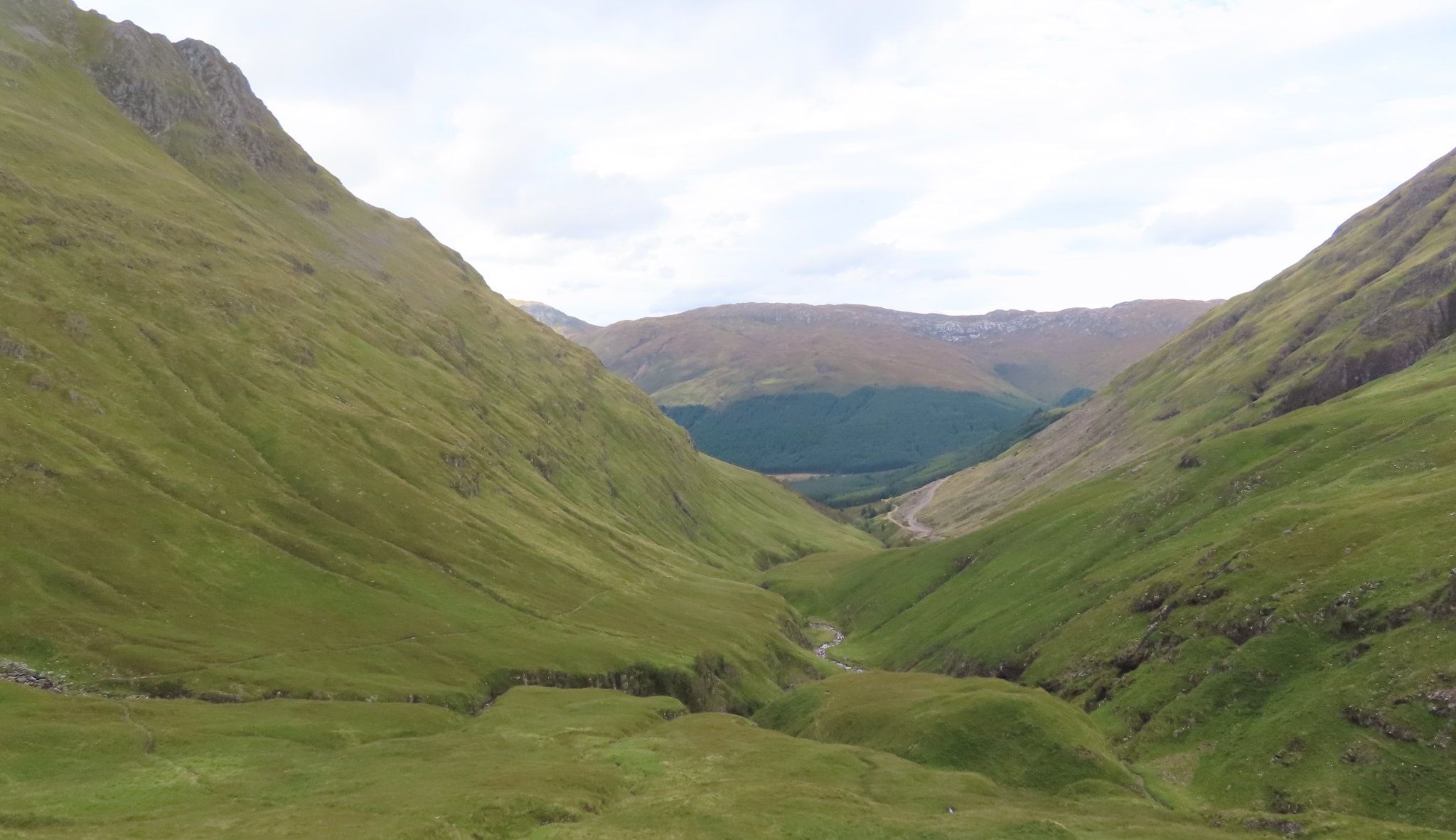
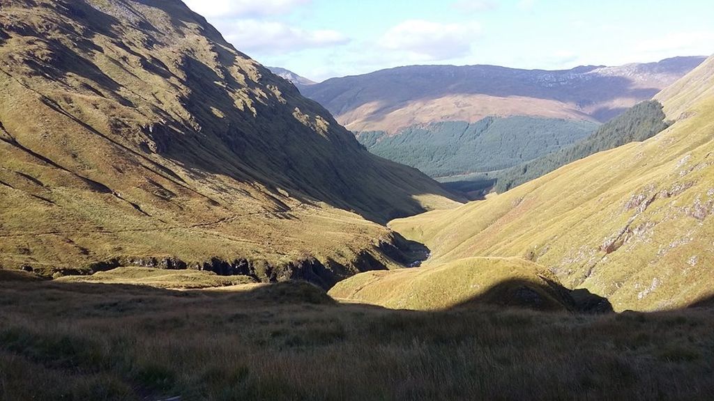
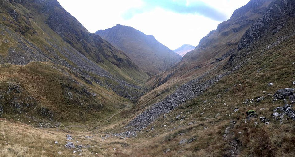
 Gleann
Choinneachain
|
|
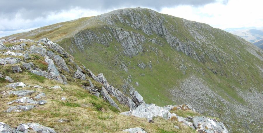
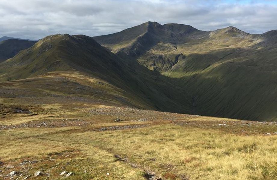
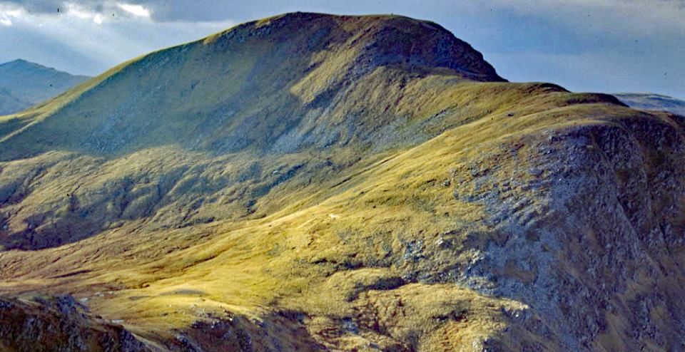
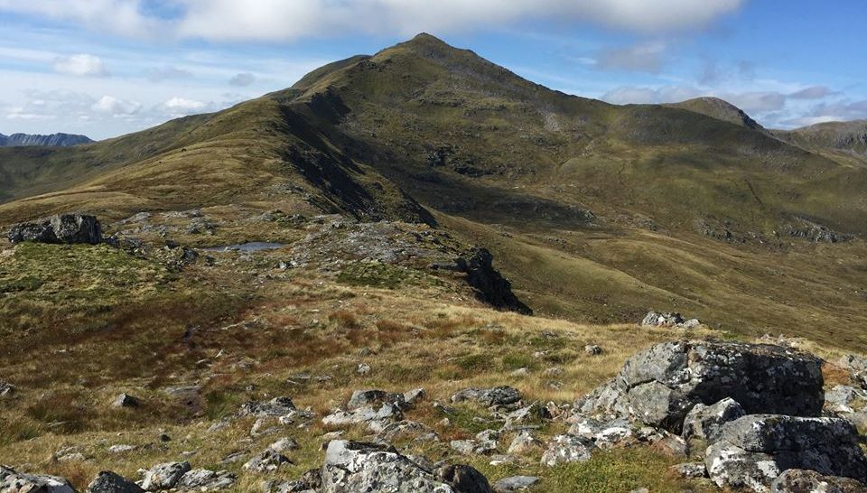
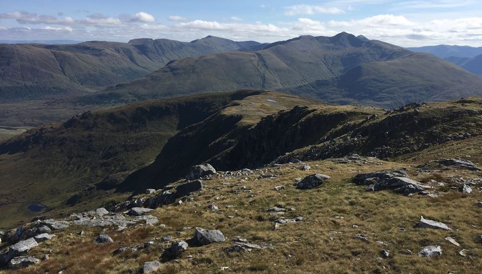
 A'
Ghlas Bheinn
|
|
 A'
Ghlas Bheinn
|
|
 A'
Ghlas Bheinn
|
|
 |
|
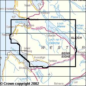
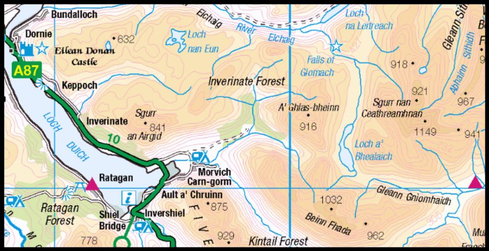
Map of A'Ghlas-bheinn |
A'GHLAS-BHEINN - ROUTE DESCRIPTION:
Location: Wester Ross
Grade: Serious mountain walk
Distance: 12 miles/20km
Time: 7-8 hours
A'Ghlas-bheinn dominates Strath Croe at the head of Loch Duich in Kintail.
As Munros go it doesn’t appear to be very popular amongst hill-walkers, perhaps because it was described in an early Scottish
Mountaineering Club guide as ‘not a particularly interesting mountain', but its ascent forms an agreeable variation on the walk from Loch
Duich to the Falls of Glomach. A recent word on the subject from the SMC, in their guide to the Munros, is equally disparaging. ‘A
rather small and insignificant hill’, it says, and goes on to gloss over the route in half a dozen lines.
The mountain undoubtedly suffers from its close proximity to the high and shapely peaks of Kintail, and in particular corrie-sculpted Bheinn Fhada to which
it appears to have been stuck on as some sort of mountaineering addendum.
Guidebooks suggest you climb both hills in one outing, With an ascent of A’Ghlas-bheinn obligatory only because it reaches Munro height,
and therein lies the nub of the problem. The lure of doubling their Munro tally for the day is too great for most baggers, and one of the great
delights of post Munro compleation is the freedom to spend more time on individual hills. That’s perhaps why it’s good to include a visit to
the impressive Falls of Glomach when climbing A’Ghlas-bheinn.
From Loch Duich-side A’Ghlas-bheinn appears as a retiring, knobbly hill, with long, gnarly fingers reaching down towards Glen Croe at its foot.
The broadest of these fingers forms the hill’s west ridge, the most popular, albeit relatively uninteresting, route of ascent.
The Falls of Glomach lie on the north side of the mountain and can be accessed easily enough from the Bealach na Sroine from where it’s a
simple climb to the summit.
It was just below this high pass that the great mountaineer Frank Smythe had a strange experience.
After his visit in 1942, Smythe wrote of seeing a ‘pitiful procession’ coming towards him. He described a band of people climbing up a
narrow defile, when ‘concealed men leapt to their feet and brandishing spears, axes and clubs, rushed down with wild yells on the unfortunates
beneath. There was a short, fierce struggle, then a horrible massacre.
Not a man, woman or child was left alive: the defile was choked with corpses.’
Smythe was convinced he had been given a glimpse into some ancient page of Highland history, the kind of psychic experience
that curiously, is comparatively widespread amongst hill-going folk.
The top of the Falls of Glomach lies about 1.5km beyond the Bealach na Sroine and involves a descent of about 200 metres.
As you drop down from the pass you’ll notice the sprawling strath of Gleann Gaorsaic and its various streams and burns that feed the
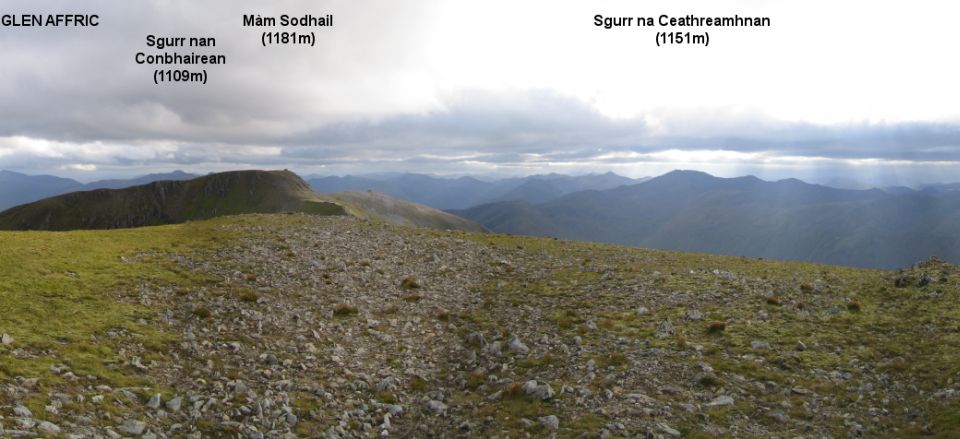
main river, watercourses that drain the slopes of big mountains like Beinn Fhada and the magnificently sculpted Sgurr nan, Ceathrearnhnan.
All that water is harnessed into a single stream and then directed into a narrow, rocky cleft where it plunges for some 130 metres into a
deep, black chasm. Needless to say great care should be taken on the normally wet path that skirts the top of the falls.
Once you’ve visited the falls and climbed A’Ghlas-bheinn from the Bealach na Sroine it’s a long and bumpy descent by the south-east
ridge to the Bealach na Sgairne, the pass where the stones make noise.
Bear that in mind if you hear any strange sounds, for apparitions have been seen here too.
On the trail that winds its way back to Strath Croe some walkers once passed a tall, thin man with a white beard, hand in hand with
a small girl wrapped up in a cloak and a hood. After making local enquiries they were convinced they had met the ghosts of Osgood Mackenzie,
the great botanist and creator of Inverewe Gardens, and his daughter Mhairi. Mackenzie had died some 30 years previously.
ROUTE PLANNER:
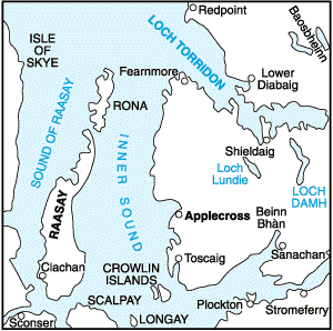
Map: OS Landranger Sheet 33 ( Loch Alsh, Glen Shiel & Loch Hourn ); Harveys’ 1:40,000s British Mountain Map, Knoydart, Kintail & Glen Afiric.
Start / Finish: Car park at Morvich, off A87 ( GR: NG960211 )
Distance: 12 miles / 20km
Approx Time: 7-8 hours
Transport: Cltylink buses from Glasgow stop at Shiel Bridge. Details from wwwtravelinescotland.com
Information: www.smc.org.uk/publications/Munroe
Route:
Follow the road to Inchnacroe where a path, signposted to the Falls of Glomach, runs N then NE to cross the river below Durusduain.
Continue on the signposted path to the bridge over the Allt an Leoid Ghaineamhaich.
Cross the bridge and follow the path as it turns R and ascends the slopes above the burn to the Bealach na Sroine.
Cross the bealach and descend NE to the Allt a’ Ghldmaich above the Falls.
Follow the path down beside the falls, taking great care on the slippery path, to where a natural flat platform offfers the best views of the Falls.
Return to the top of the falls and walk back to the Bealach na Sroine.
Climb S to the summit of A’ Ghlas-bheinn and descend S to the Bealach an Sgairne.
Follow the path W down Gleann Choinneachain back to the starting point.
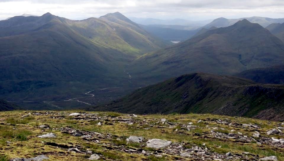
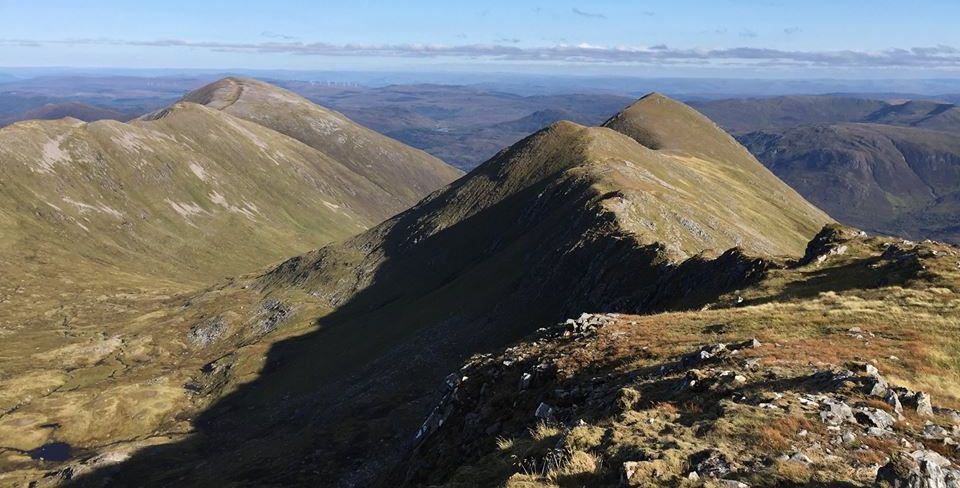
 Sgurr
nan Ceathreamhnan
|
|
 Sgurr
nan Ceathreamhnan
|
|
 |
|
Sgurr nan Ceathreamhnan |
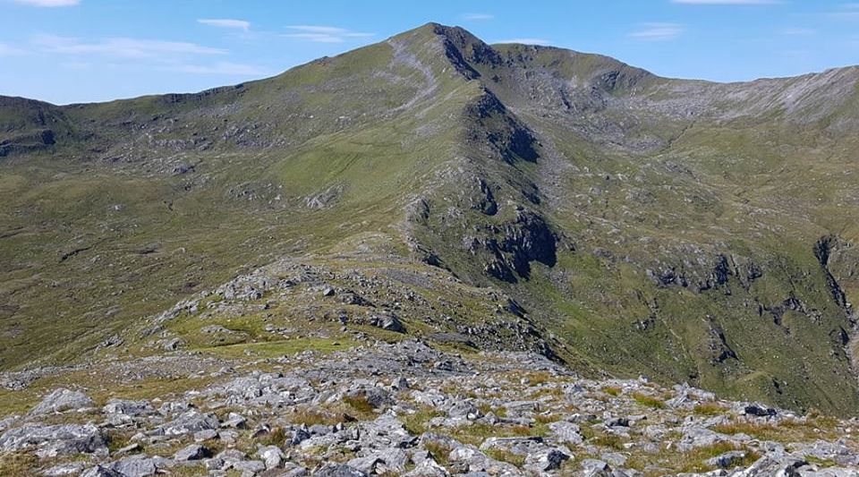 Sgurr
nan Ceathreamhnan
|
|
 |
|
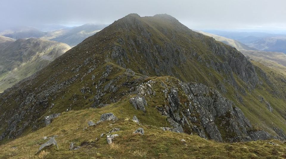
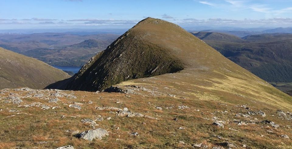
Mullach an Dheiragain from Sgurr nan Ceathreamhnan |
 Mullach
an Dheiragain
|
|
 Sgurr
nan Ceathreamhnan from
Mullach an Dheiragain
|
|
 Sgurr
nan Ceathreamhnan
|
|
 |
|
 |
|
Above Glen Affric |
 |
|
Above Glen Affric |
 |
|
Above Glen Affric |
 |
|
Above Glen Affric |
 |
|
Above Glen Affric |
 |
|
Above Glen Affric |
 |
|
View from Carn Eighe |
Ben Nevis | Glencoe | Knoydart | Isle of Skye | Isle of Arran | The West Highland Way
The Eastern Highlands | The Central Highlands | The Southern Highlands | The NW Highlands