  |
The Scottish HighlandsBeinn Chuirn
|
  |
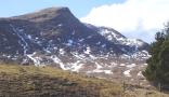
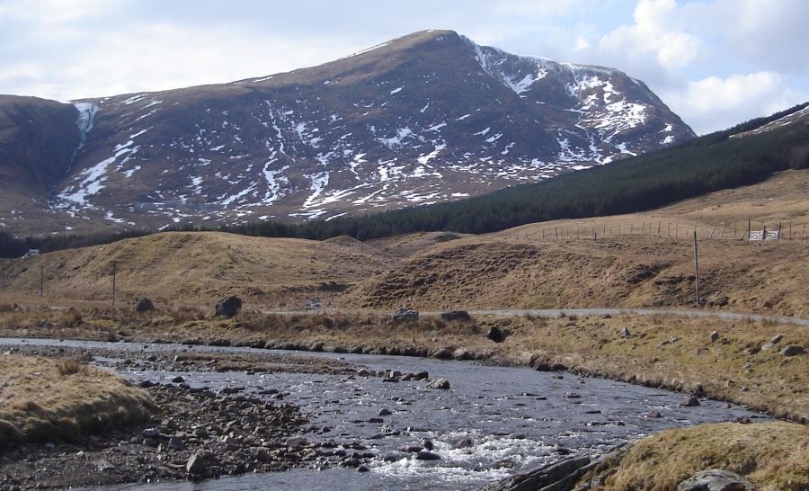 Beinn
Chuirn ( 2887ft, 880m - a Corbett ) from River Cononish The
track to Beinn Chuirn , Scotland's Gold
Mountain, winds through the Cononish Valley for
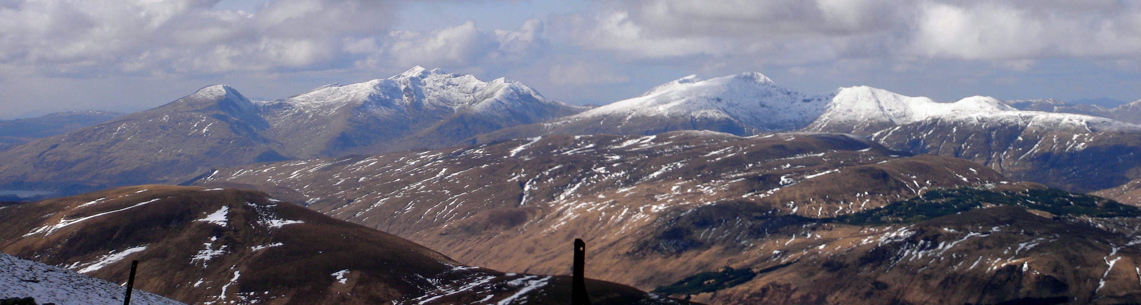
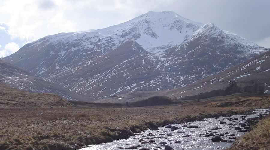
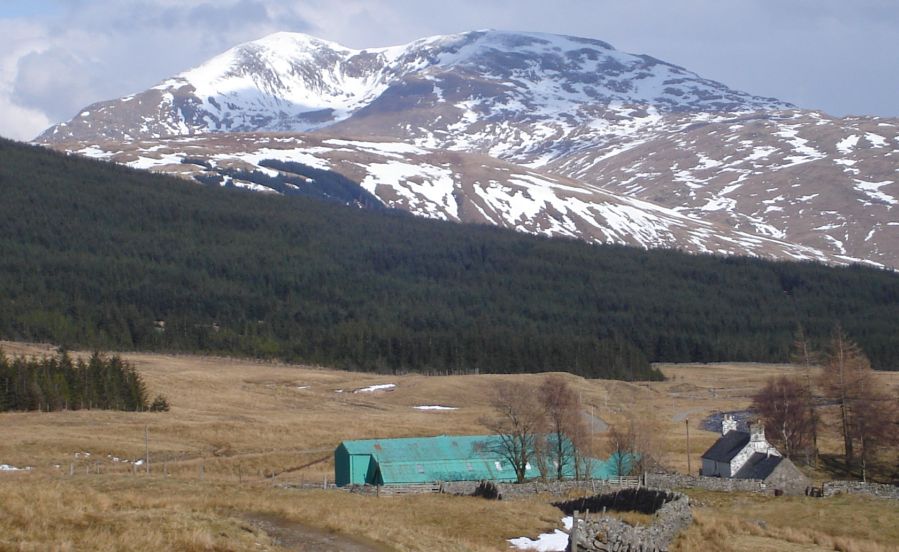
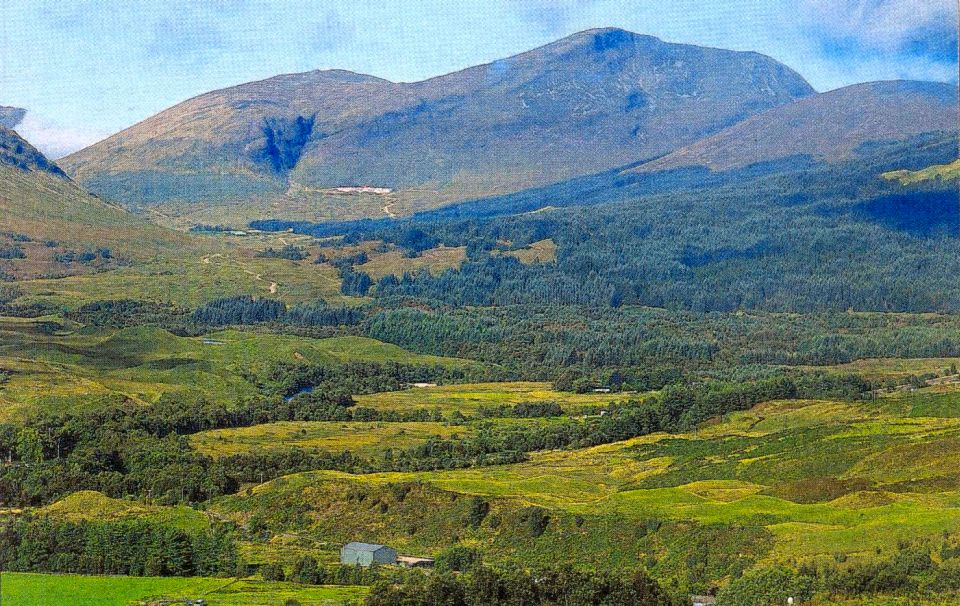
some 5 km WSW of Tyndrum in Loch Lomond and Trossachs National Park. The scenery is spectacular with Beinn Chuirn standing beneath its dominant neighbour Ben Lui and
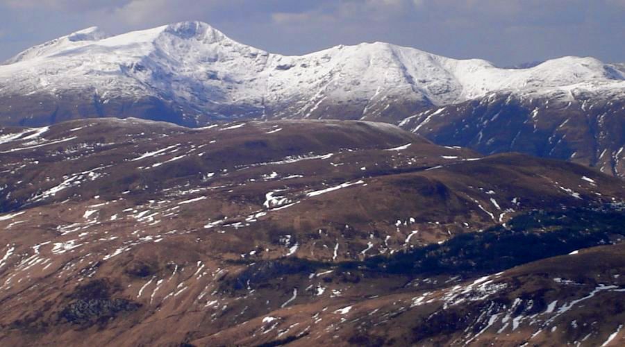
the attendant Munros of Ben Oss and Beinn Dubhchraig. From the summit of Beinn Chuirn fine views extend northwards to the Munros of the Glencoe Region |
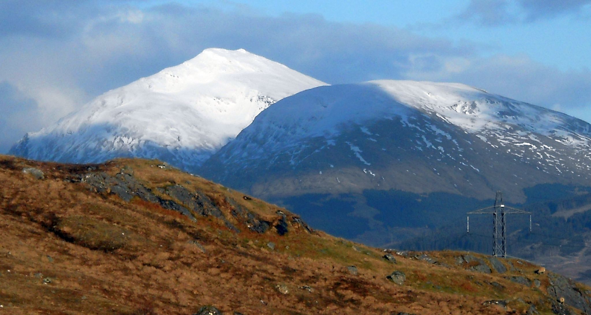
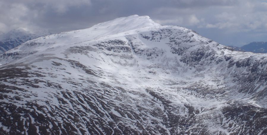 Beinn Dubhchraig from Beinn Chuirn |
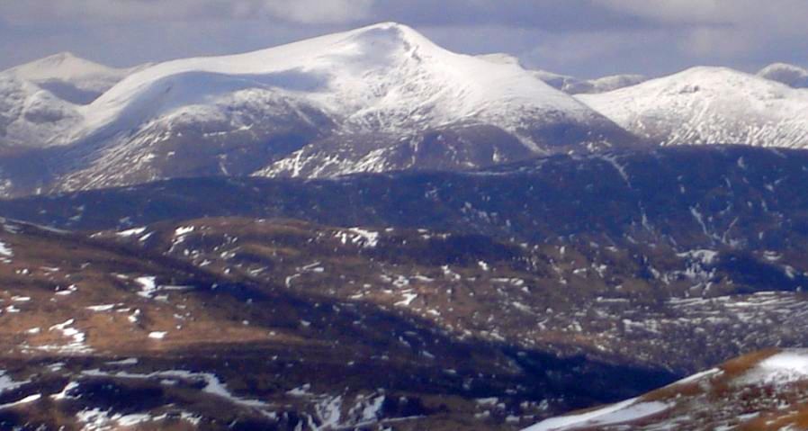
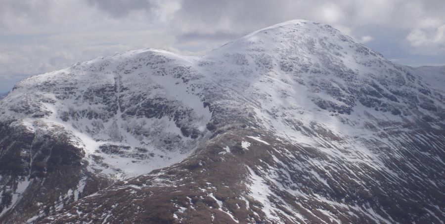 Ben Oss from Beinn Chuirn |
|
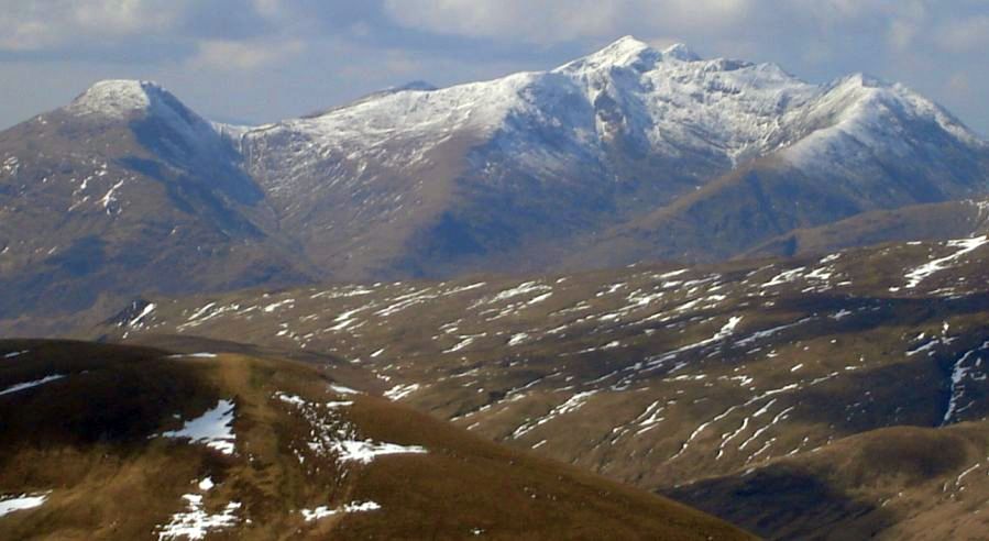
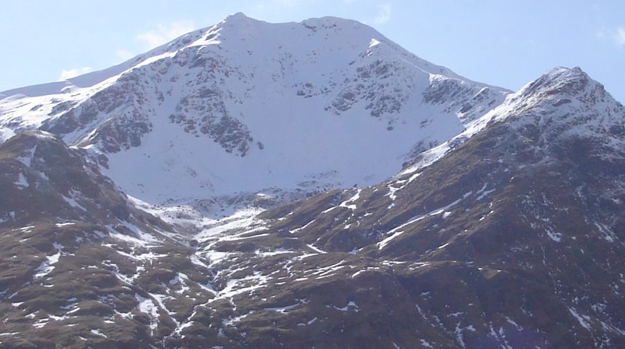 Ben Lui from Beinn Chuirn |
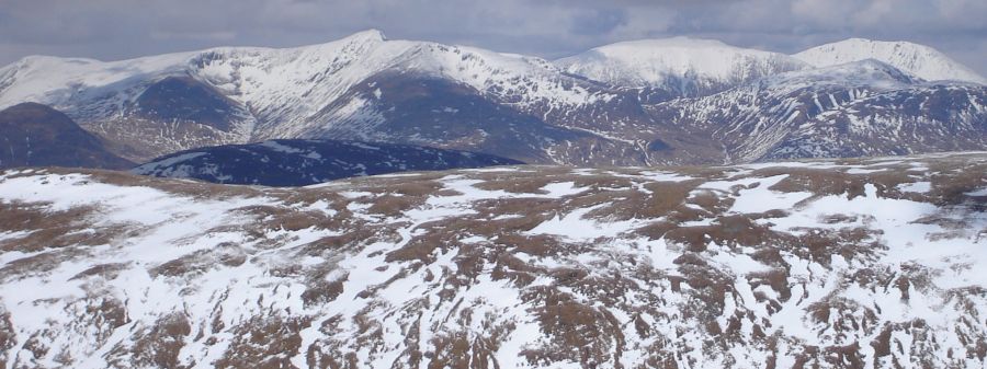
 Beinn a'Bhuiridh & Ben Cruachan and Beinn Eunaich from Beinn Chuirn |
Ben Lui and Beinn
Chuirn from Ben Cruachan |
 Beinn a'Bhuiridh and Ben Cruachan from Beinn Chuirn |
 Beinn Eunaich from Beinn Chuirn
|
|
 |
 |
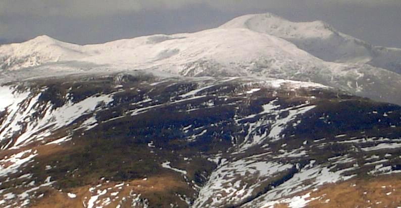
Munro
in Glencoe
Region to North of Beinn Chuirn |
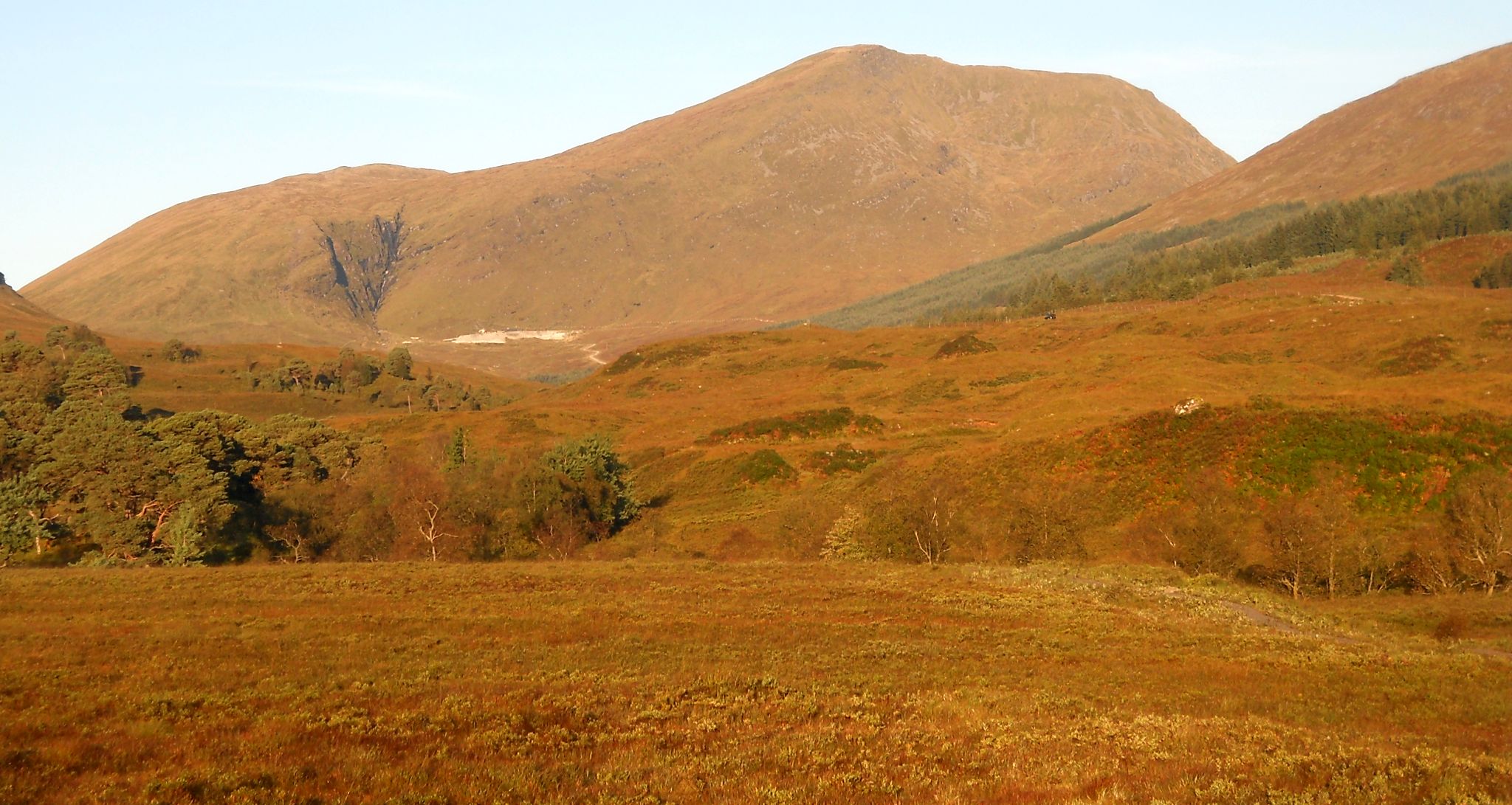
Ben Lui from River Cononish |
 Ben
Challum above Cononish Farm
|
 Beinn Chuirn on route from Dalrigh |
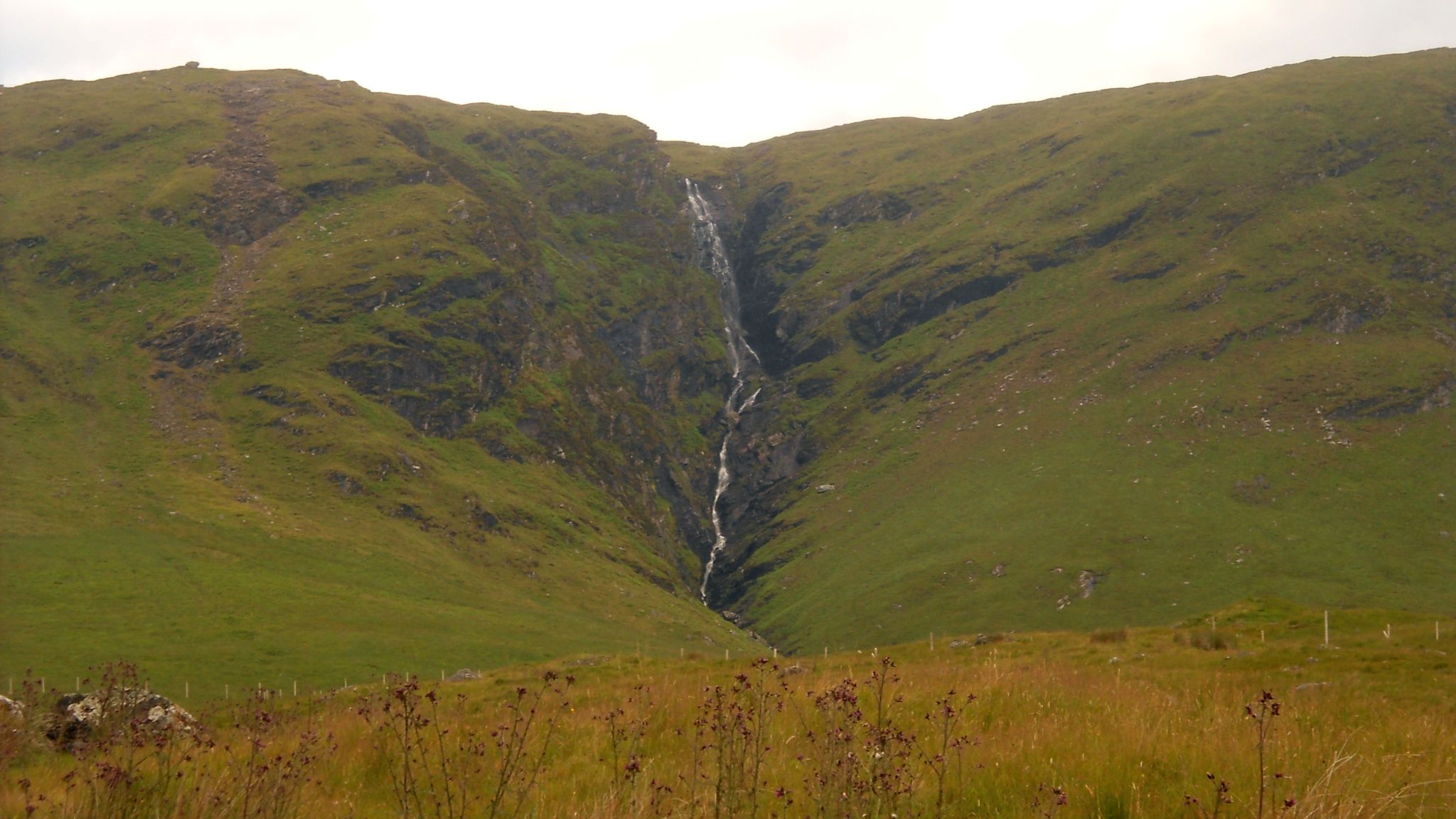 Allt Eas Anie Waterfall on Beinn Chuirn on route from Dalrigh |
 Beinn Chuirn |
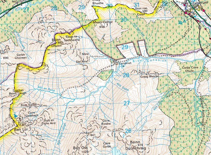 Map for Beinn Chuirn |
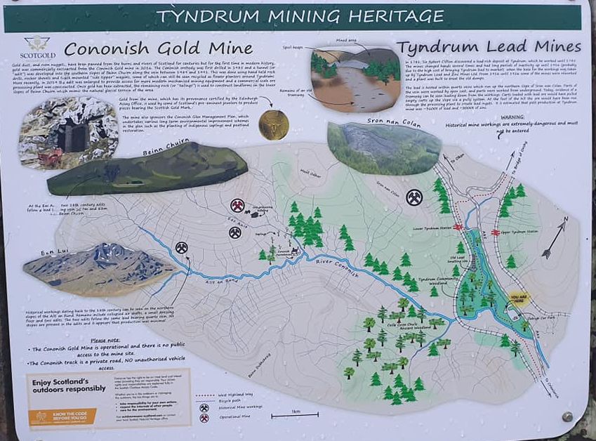 Information board - Gold and Lead mining at Tyndrum |
| Location: Perthshire Map: OS Landranger 50 Distance: 8 miles (13km) Time: 5-7 hours Grade: Moderate hill walk Starts with a walk through forest from Tyndrum to Cononish, at the foot of Beinn Chuirn, Scotland's gold-mining mountain. Tyndrum is a former mining centre. The little area known as Clifton is still home to former mineworkers’ cottages and the remains of lead mines can still be found on the hillside above the village. Beinn Chuirn ( 2887ft / 880m ) where the current gold mine is situated, is a Corbett and while largely overshadowed by its more illustrious Munro neighbours of Ben Lui, Beinn Oss and Beinn Dubhcraig, does boast one or two interesting features — its precipitous east-facing corries and the black vegetated ciiffs of the Eas Anie waterfall, one of the best falls in the southern Highlands. The gold mining operation run by ScotGold lies close to the foot of the Eas Anie falls. Although heavily cragged and buttressed in the west, north and east, the southern slopes of Beinn Chuirn are less steep and more sprawling, harnessing the waters of a thousand rivulets into two steep river ravines, the Garbh Choirean in the west and the impressive Eas Ania in the east. As the tumbling waters crash over the rocky edge of the Eas Anie ravine they become braided over the black, glistening crags before gathering into a final, single stream near the foot of the falls. Ferns, bracken and rowans overhang the crags and in the otherwise bare, grassy slopes of the mountain this craggy niche is even more impressive. The climb up to the hill’s south-east ridge is fairly steep from here, but there are no crags to bar the way, although the ground does become rockier further to the right. From the top of the falls bear right and continue to reach the summit. Route: Start and finish at the car park at Tyndrum Lower railway station ( GR: NN327303 ). Follow the forestry track behind the station out of the trees to the junction with the Cononish track. Foliow track towards Cononish Farm just before the farmhouse TR on to a track that climbs towards the gold-mining works. Avoiding the main buildings, climb steeply to the right of the Eas Ante waterfall, keeping well away from the crags, to reach the broad SE ridge of Beinn Chuirn. Follow ridge to the top of the summit crags, bear right and continue to the summit cairn. Return by the same route to the top of the Eas Anie falls. Instead ot descending to the gold mine continue S down easy grassy siopes to reach a track that runs back to Cononish and the junction with the Tyndrum track. |
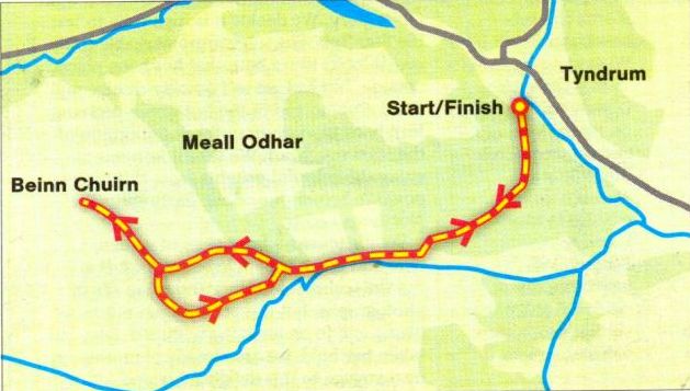 Route Map for Beinn Chuirn |
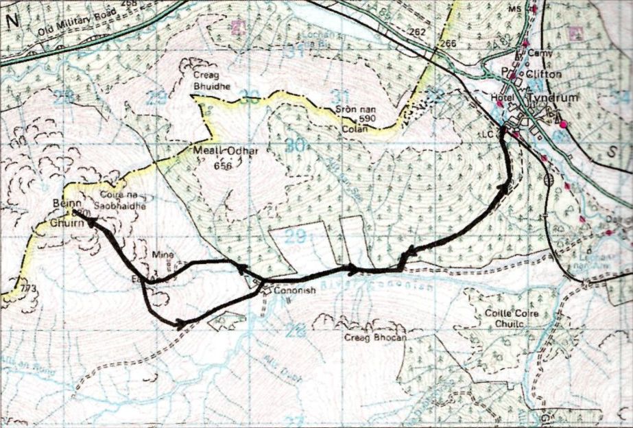 Map for Beinn Chuirn |