 |
Southern HighlandsBeinn a Choin
|
  |
|
|
Southern HighlandsBeinn a Choin
|
|
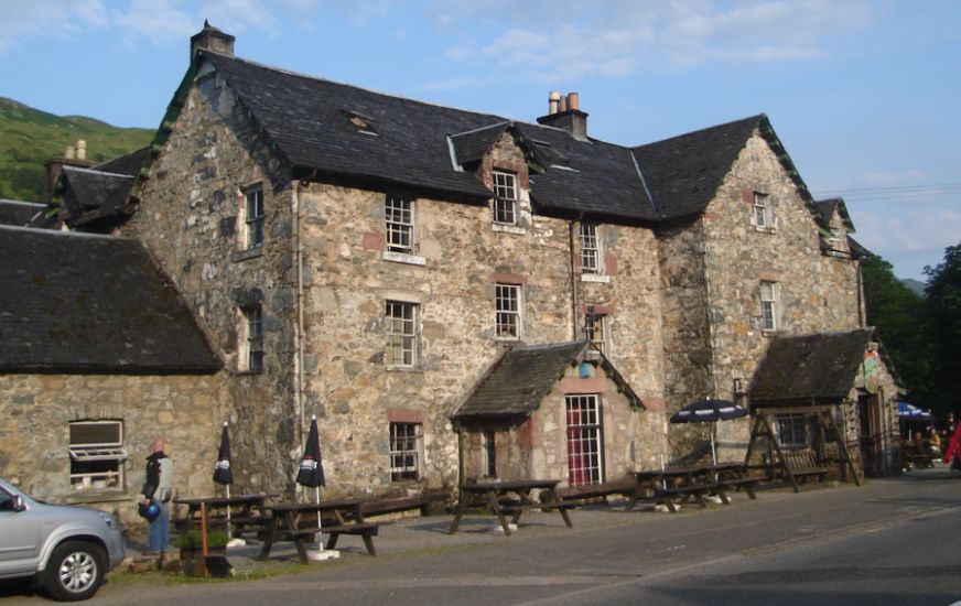 The
Drovers Inn at Inverarnan,
Ardlui
The Drovers Inn is world famous and a must-see for anyone visiting Loch Lomond or walking the West Highland Way. The Inn was built in 1705 and has preserved its character. It has borne witness to many historic events in the history of Scotland and welcomed famous figures through its doors including the renowned Rob Roy McGregor. |
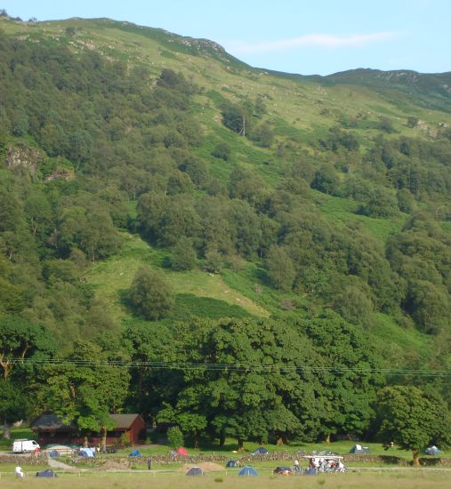 Campsite
at Beinglas
|
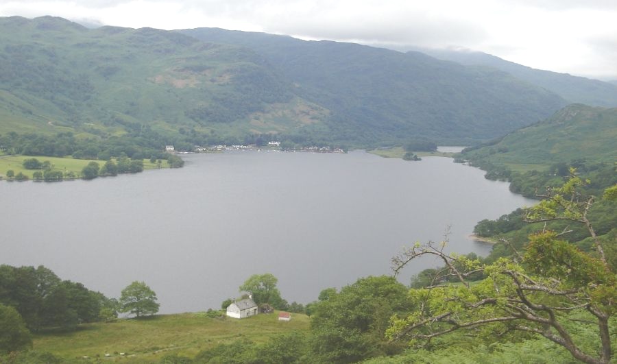
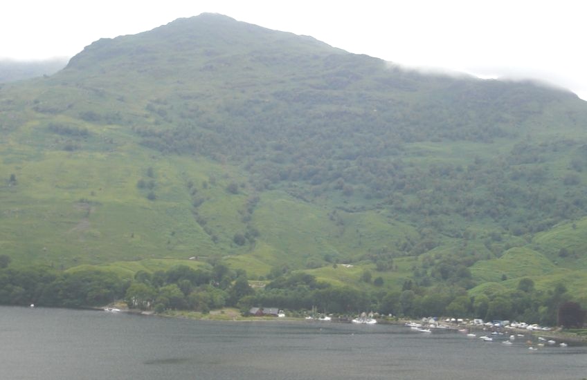 Ardlui
across Loch Lomond
|
 |
 |
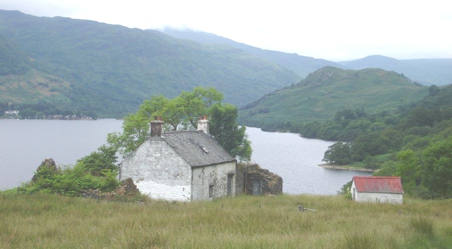 Bothy at
Doune on Loch Lomond
|
 Bothy at
Doune on Loch Lomond
|
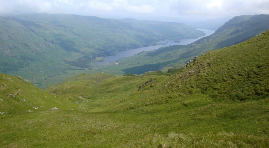
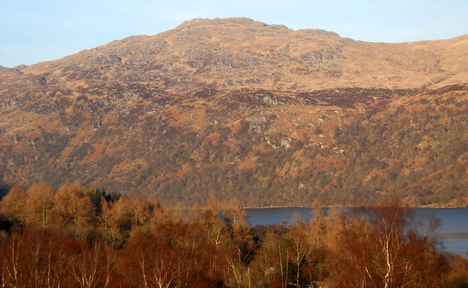
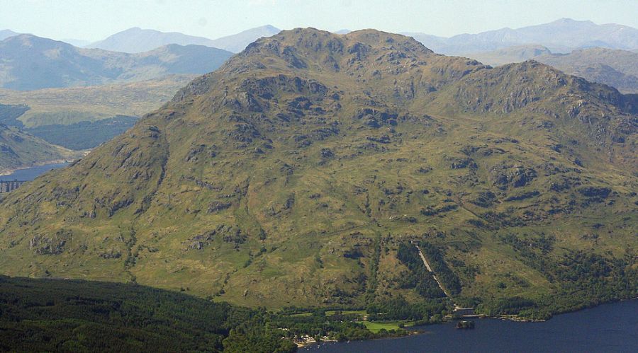 Ben
Vorlich above Loch
Lomond
|
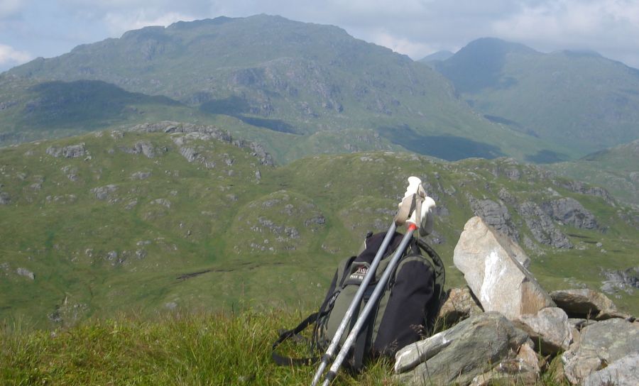
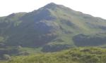
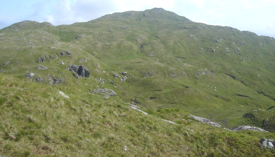 Beinn a
Choin ( " Hill of the
Dogs " ) - 2525ft
|
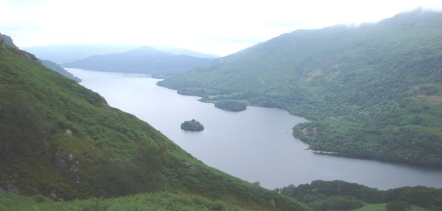
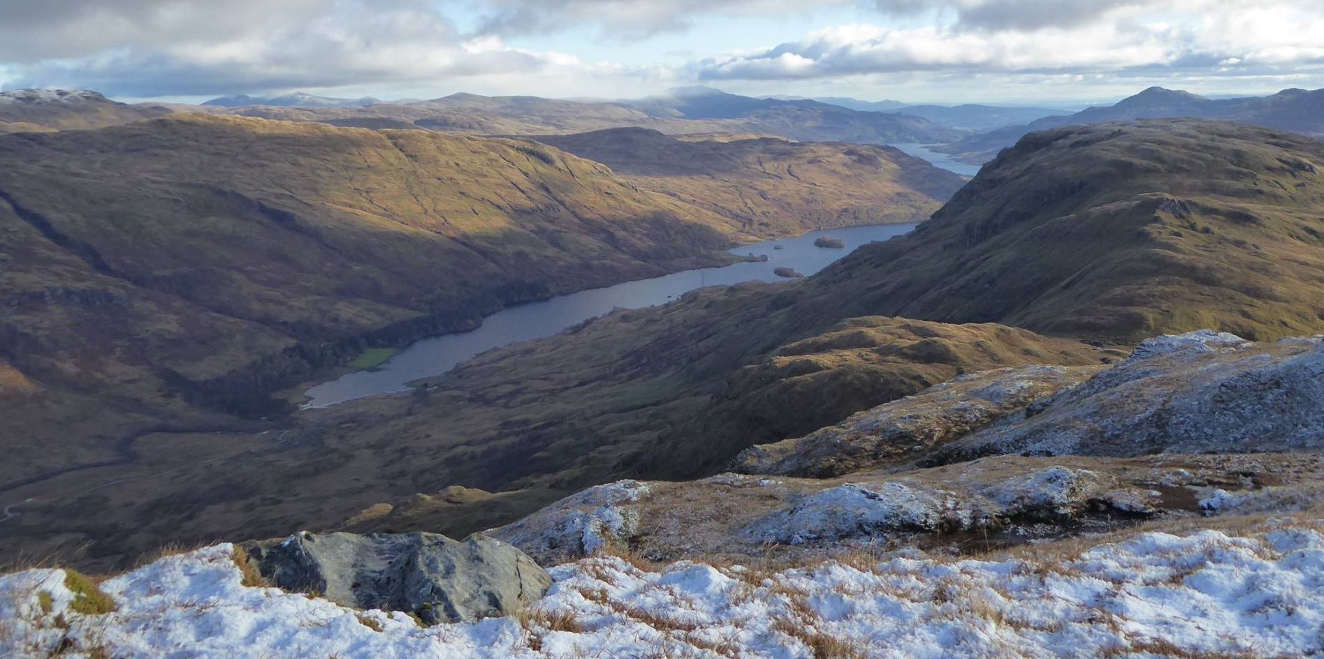
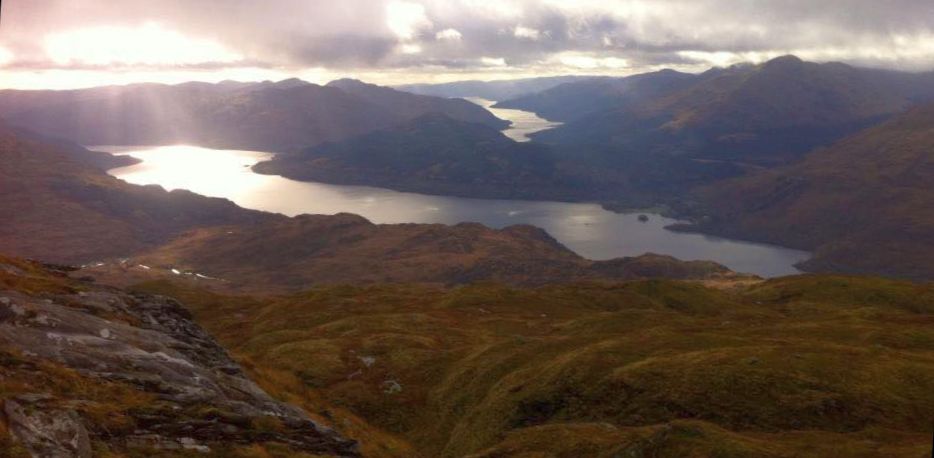 Loch Lomond and
Loch Long
from Beinn a' Choin |
 Loch Lomond and
Loch Long
from Beinn a' Choin |
 |
 |
 |
 Beinn a
Choin
across Loch Lomond |
|
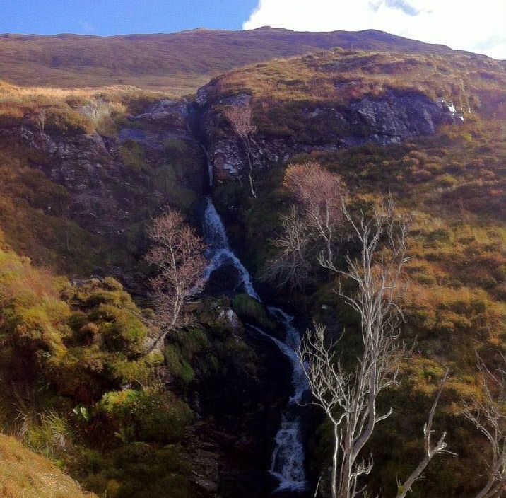 Waterfalls
on Beinn a' Choin
|
Route Description:-
Ben Vorlich ( above Loch Lomond ) , Ben Lomond, Ben Vorlich & Stuc a Chroin ( above Loch Earn ),
Beinn Chabhair & Beinn a Chroin and the Ben Lui Group.
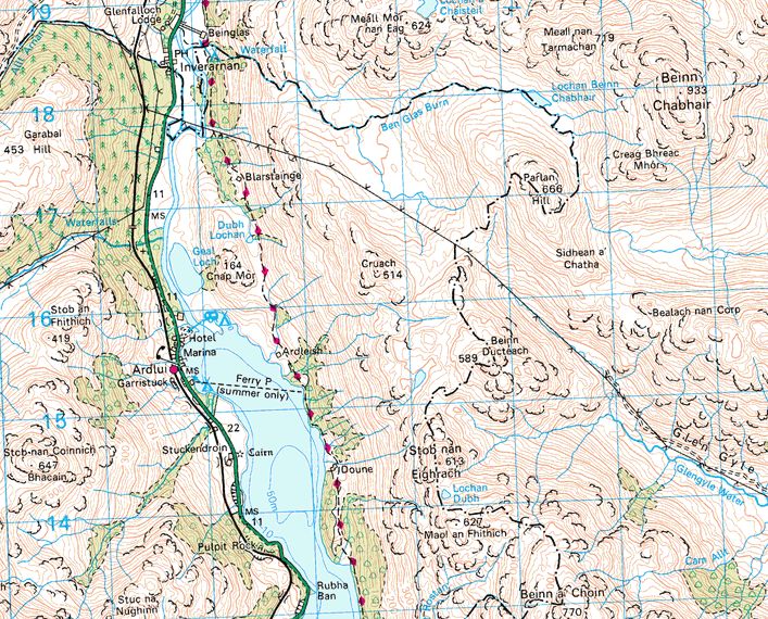 Map
of Beinn a Choin
|
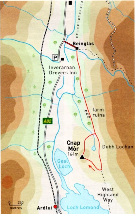 Map
of Cnap Mor
|
CNAP MOR - ROUTE DESCRIPTION:
Start and finish: Car park at Drovers Lodge, lnverarnan on A82
Distance: a miles ( 6.5 miles )
Time: 2 hours 30 minutes
Map: OS Landranger 56
Terrain: waymarked paths and pathless hillside
Grade: Easy
This craggy little hill combines an enjoyable section of the West Highland Way ( WHW ) with a spectacular view down the narrow
confines of Loch Lomond from Ardlui to Ben Lomond. The route is relatively straightforward and suitable for youngsters.
Park at Inverarnan on theA82, in the car park beside the Drovers Lodge and opposite the Drovers Inn.
Follow the path beside the road north to the signposted access road to Beinglas Farm and campsite.
The road gives a good view to Eagle Falls, above the farm buildings.
Cross the bridge over the River Falloch, immediately beyond which a signpost directs you right onto a link path to the WHW.
Skirt the field, initially beside the river then alongside a burn, to a stile into the camping ground.
Go through this onto a track and follow this to the right, reaching a footbridge over the Ben Glas Burn and the WHW.
From here the path ascends steadily into broadleaf woodland of rowan, birch, hawthorn and oak.
Cross a stile and pass the old shielings and farm buildings at Blarstainge and continue south on the WHW with unfolding views to the
small hill of Cnap Mor, with the Dubh Lochan below.
Arrive at a waymark on the WHW just as it meets a fence and starts to descend to Ardleish and Loch Lomond.
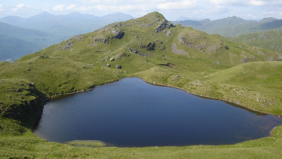
Turn right and follow a rough sheep path beside the old fence towards the summit of Cnap Mor.
This leads to a plateau area topped with a number of small hillocks, the highest lying to the north-west overlooking the Geall Loch
and River Falloch and marked by a small cairn.
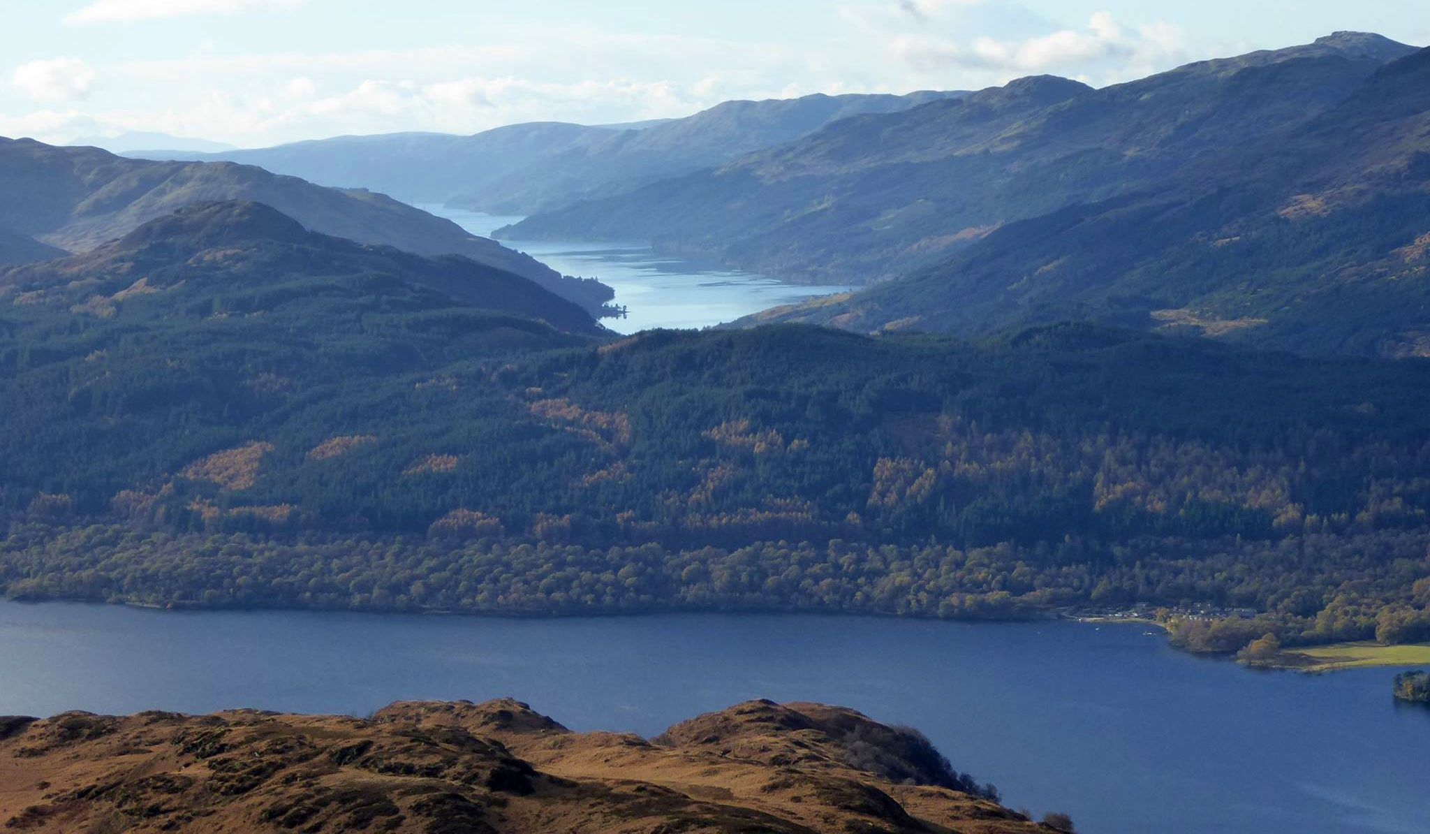
This offers panoramic views west over Loch Lomond to Ardlui and Ben Vorlich and south down the loch to Ben Lomond.
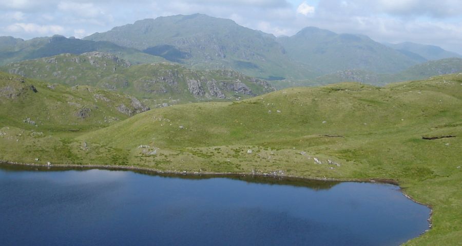
Continue round the summit plateau to descend the broad north ridge for a short way, then rightwards round the ground
enclosing the Dubh Lochan to its north, aiming for the pylons on the hillside above.
Cross the small burn draining from the loch where it is closest to the WHW, gain the path and follow it back to Beinglas with fine views north to the
shapely summit of Ben Lui, poking its head above the hills flanking Glen Falloch.
 :: West
Highland
Way
:: West
Highland
Way 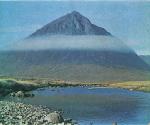
Glencoe | Ben Nevis | Knoydart | Isle of Skye | Isle of Arran
The Eastern Highlands | The Central Highlands | The Southern Highlands | The NW Highlands